Great fishing in beautiful alpine lakes at the top of North America’s deepest river gorge
Distance: 17 miles round trip as described here (longer and shorter options available)
Type: out and back
Difficulty: difficult with nearly constant elevation change over rocky trail (total elevation loss/gain over 6,000′)
Best season: mid-July through September
Some destinations have a higher price of admission than others. This was was certainly the case for our recent backpack into the Seven Devils of Idaho’s Hells Canyon Wilderness. The names alone tell the story I suppose—you certainly wouldn’t expect easy hiking in a place named after the Devil or Hell.
According to the Wallowa-Whitman National Forest website, “Hells Canyon, North America’s deepest river gorge, encompasses a vast and remote region with dramatic changes in elevation, terrain, climate and vegetation. Carved by the great Snake River, Hells Canyon plunges 8,000 feet below snow-capped He Devil Peak of Idaho’s Seven Devils Mountains.”
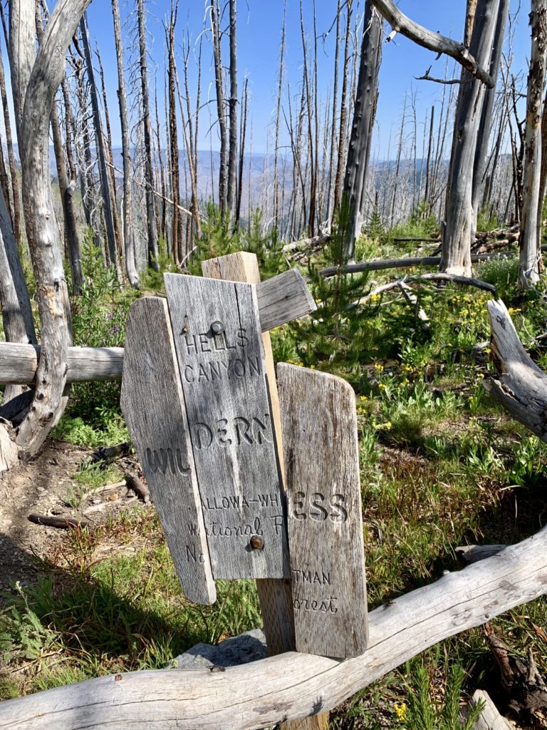
Within the greater Hells Canyon National Recreation Area is the Hells Canyon Wilderness, “217,927 acres of high mountain peaks, ominous canyon rim-rocks, breathtaking vistas, and quieting solitude. The wilderness is split by the Snake River into two distinct areas – one in Oregon and the smaller portion in Idaho. At lower elevations on the Idaho side, dry, barren, steep slopes break over into the Snake River canyon. In the high country are the towering peaks, rock-faced slopes, and alpine lakes of the Seven Devils Mountain Range – said to be named for a vision of seven dancing devils that appeared to an Indian lost in the area. The legend fits. Here, splendid mountain peaks rise well over 9,000 feet, and bear names like She Devil, He Devil, Ogre, Goblin, Devil’s Throne, and Twin Imps.”
Why would we want to backpack into such an unforgiving wilderness? Simple—stunning beauty and exceptional alpine lake fishing. The Devils had been on our radar for years. We started a pack into the area back in 2016, but a six month long case of plantar fasciitis combined with big elevation changes over rocky trail caused me to turn around, defeated after just five miles. It was time to get my revenge on The Devils.
Base Camp at Windy Saddle
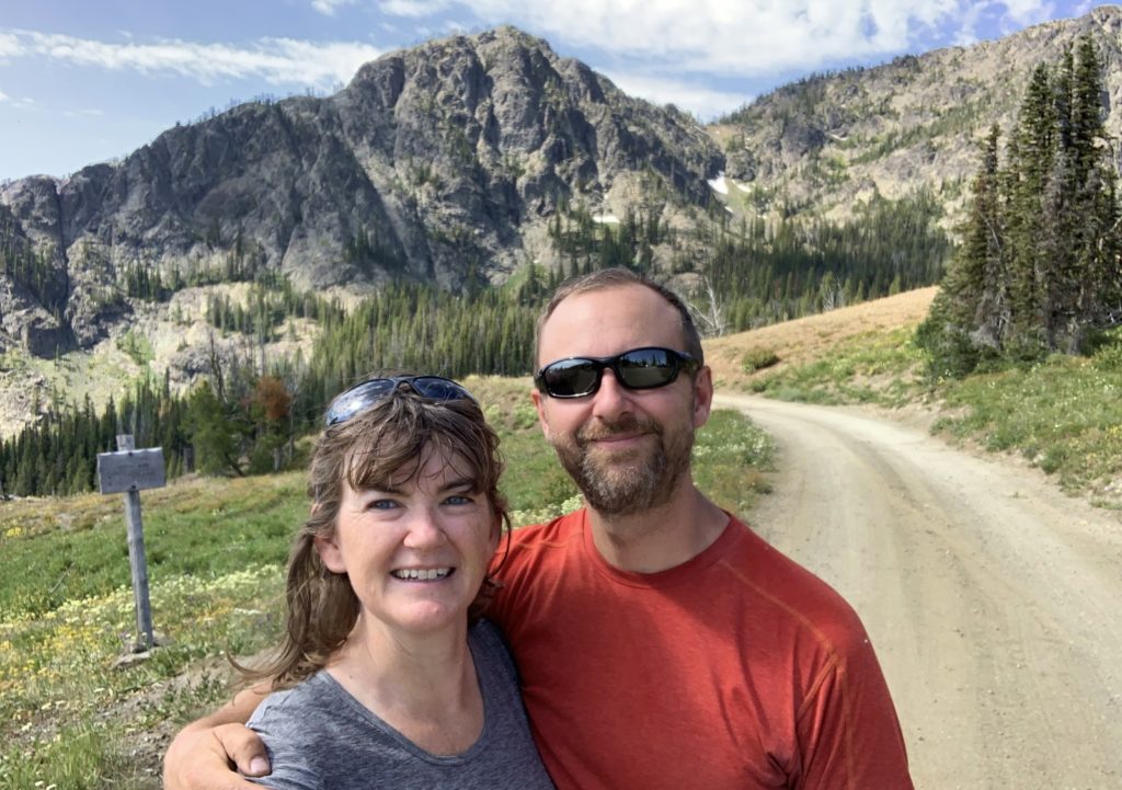
While temperatures would be much cooler at the trailhead than the triple digits we were seeing at home, we wanted to get an early start on the trail. The best way to do that would be to camp at the trailhead. On the last Sunday in July, we made the three hour drive from our home in SE Washington to the Windy Saddle Trailhead (elevation 7,550′). While temperatures had been 96 degrees in Riggins along the Salmon River, Windy Saddle was a refreshing 69 degrees! We considered camping at nearby Seven Devils Campground, but it was nearly full and much too crowded for our liking. Instead, we settled into one of the free campsites at the trailhead where we enjoyed a quiet neighbor-free evening.
Day 1: Up and Down, Up and Down
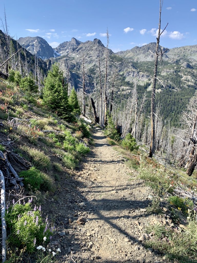
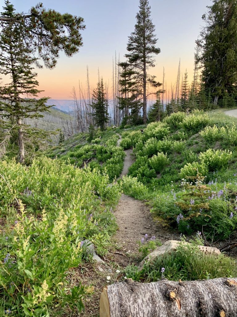
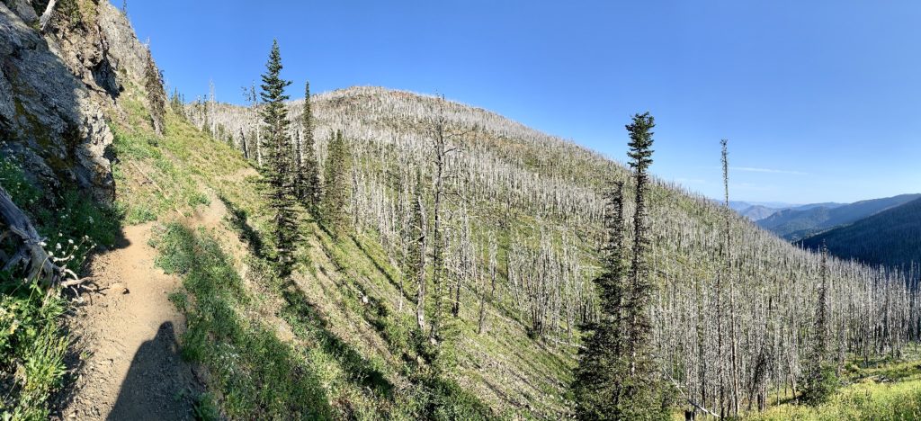
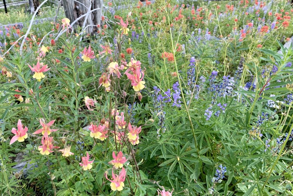
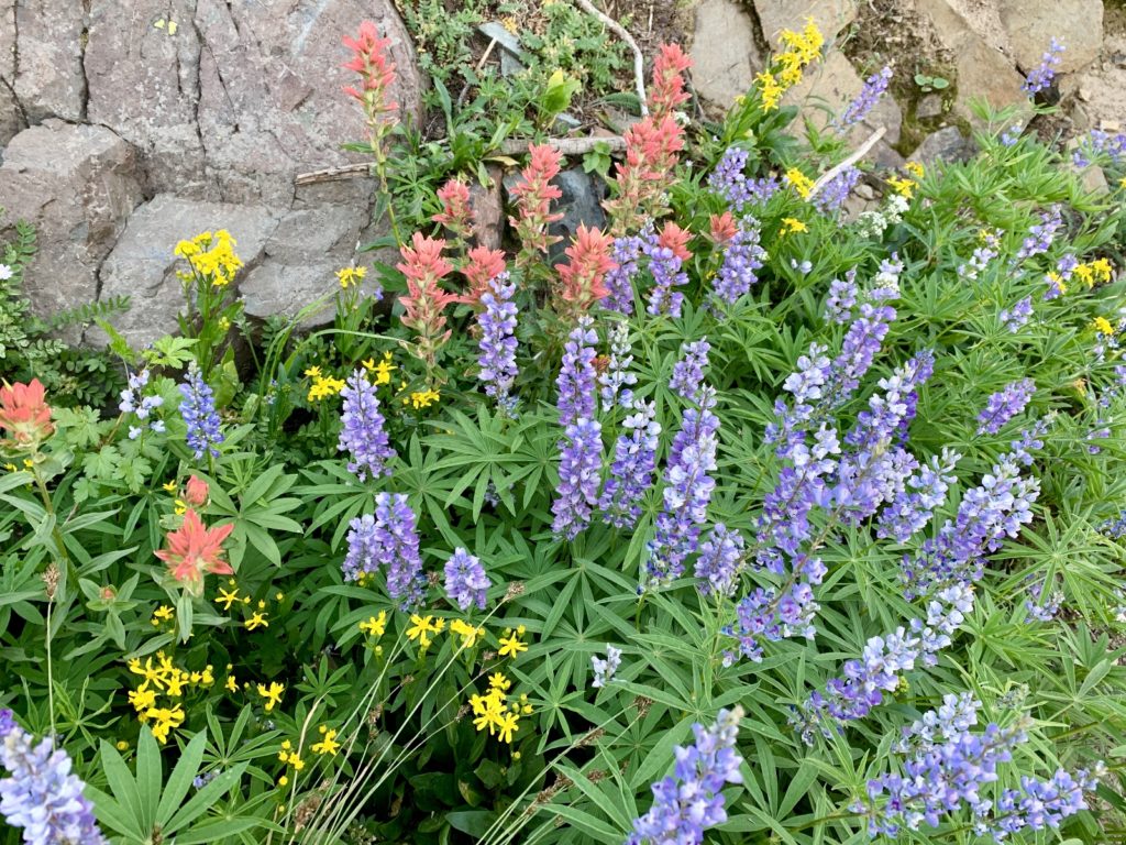
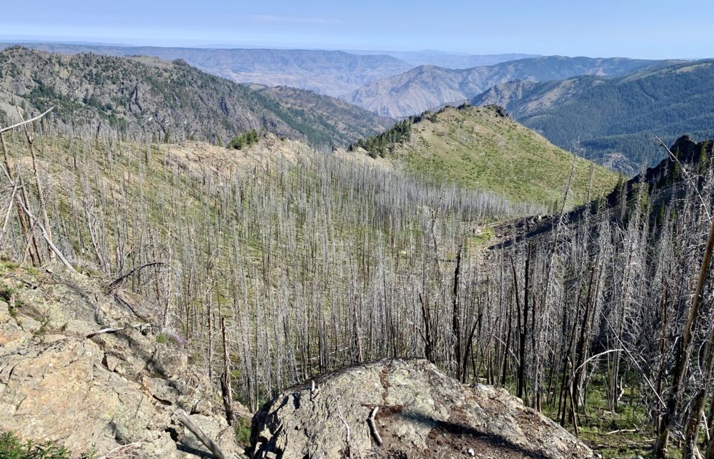
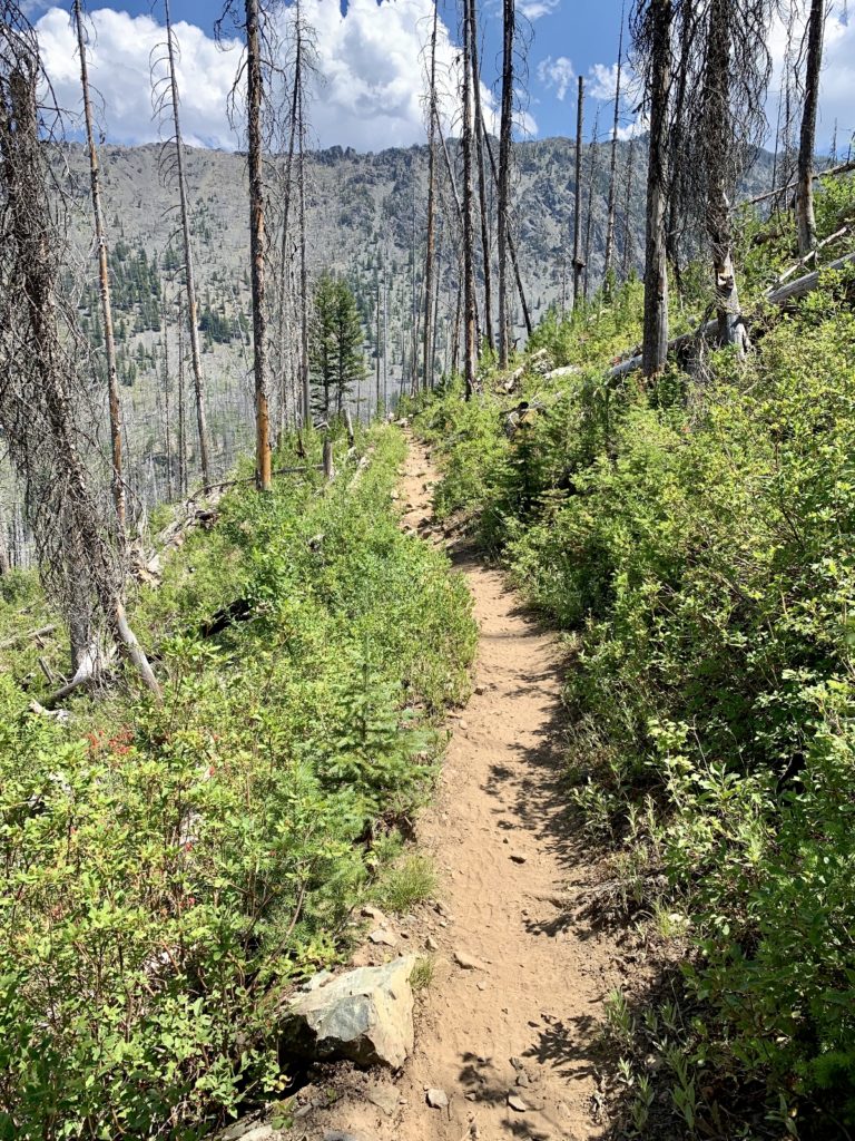
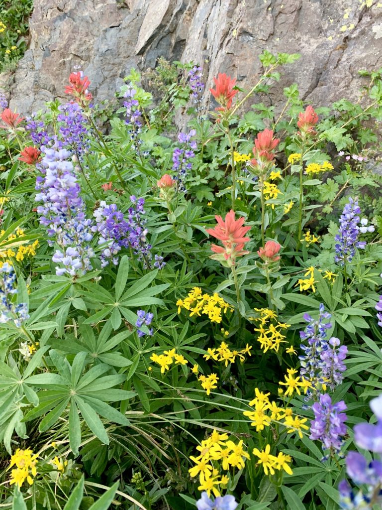
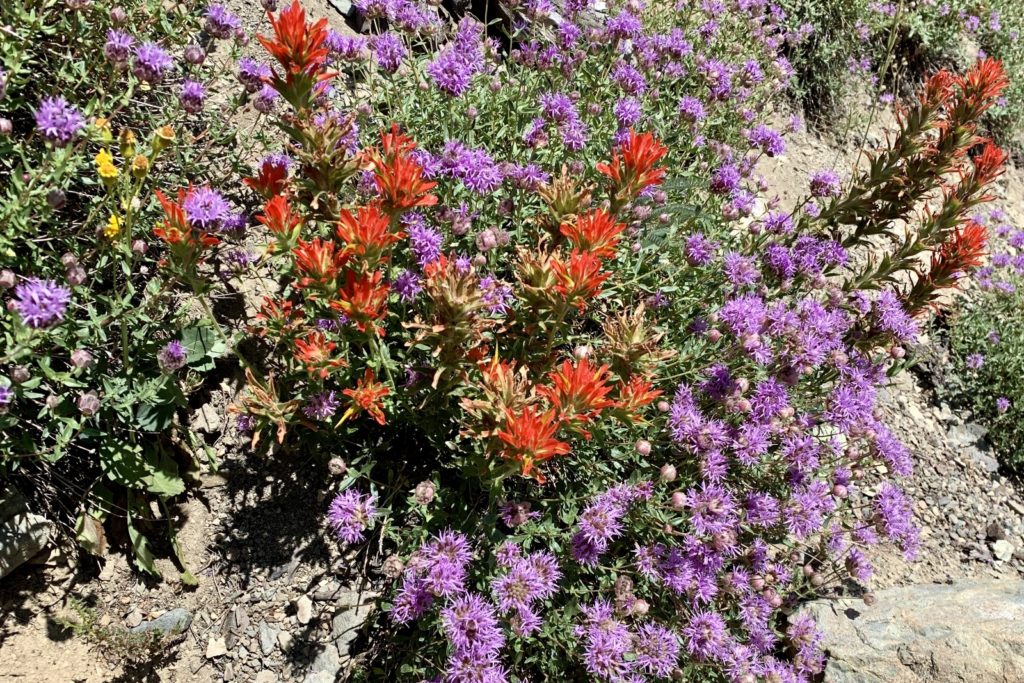
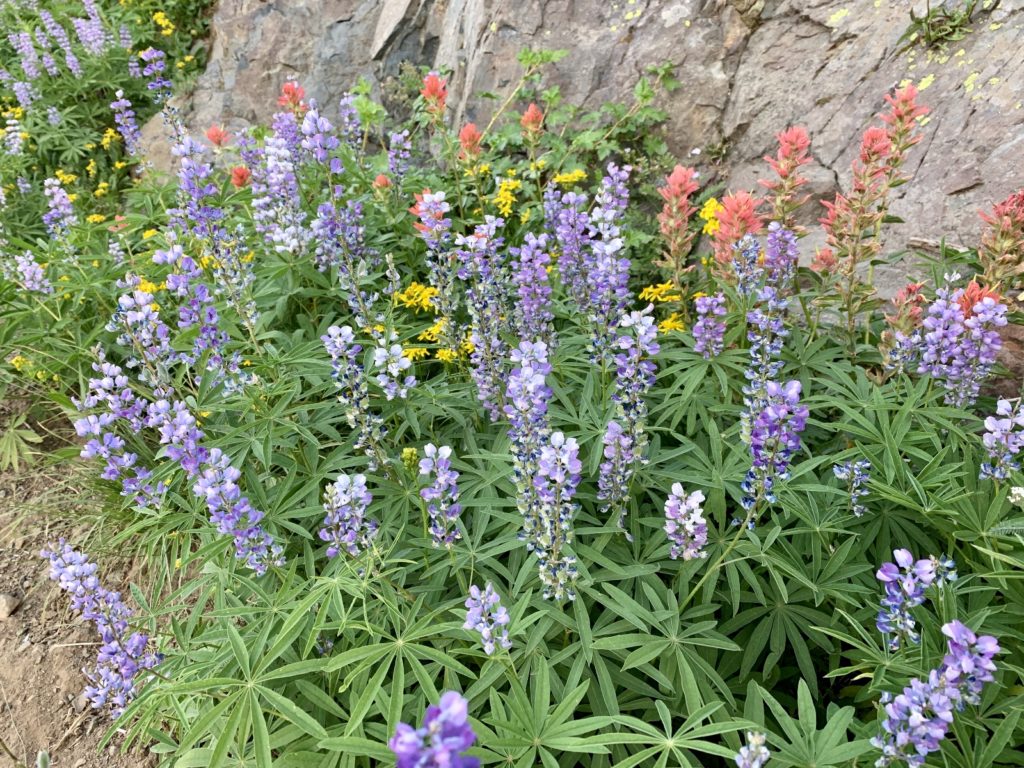
Having done the first five miles of trail a few years earlier, we knew exactly what our day was going to be like—up and down, up and down. The Seven Devils Trail #124 leaves north west from Windy Saddle Trailhead and immediately begins a relatively short, but steep descent of 300′. This area burned years ago, but healthy new trees have grown to about six feet tall. Wildflowers love the burn zone and we were surrounded by thousands of colorful blooms at their peak.
the adventure begins 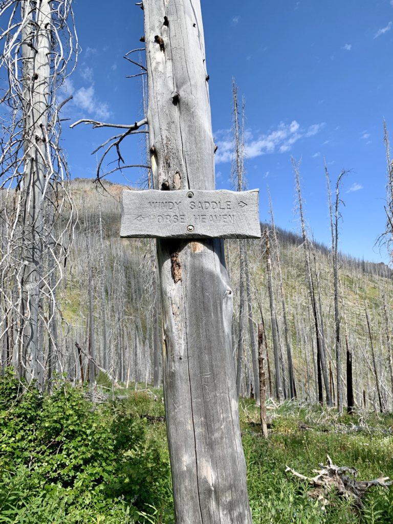
end of first descent
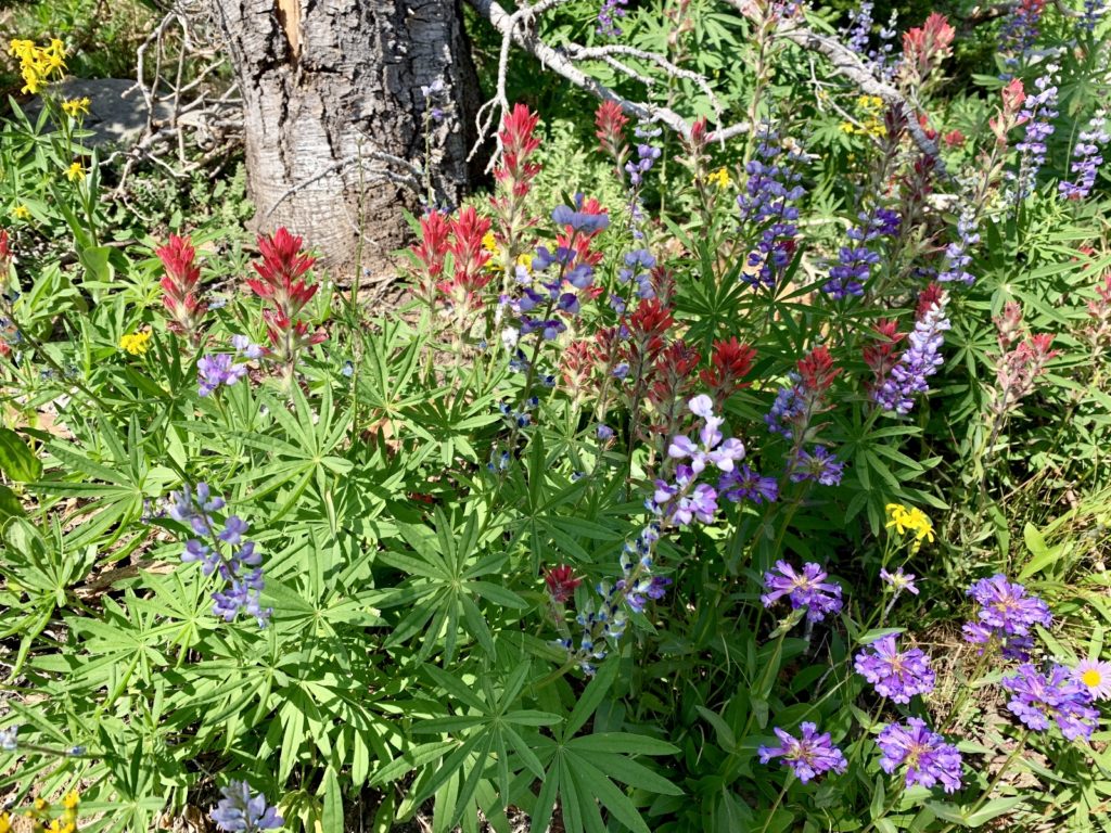
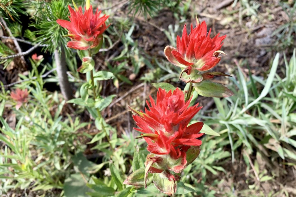
We enjoyed a short section of relatively flat trail before beginning a 700′ climb out of East Fork of Sheep Creek Canyon. Burned out forest views continued through this 1.5 mile stretch and it felt especially hot and dry as we made our way out of the cool morning shade and into the harsh sun. We continued to enjoy abundant wildflowers, but this was definitely the starkest stretch of the trip.
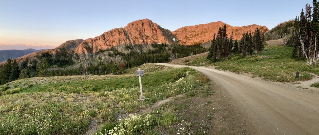
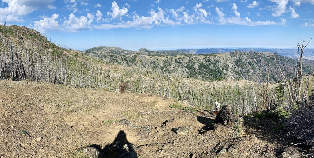
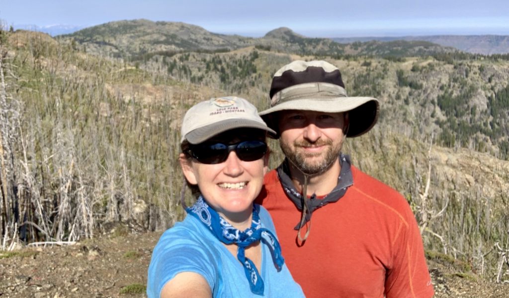
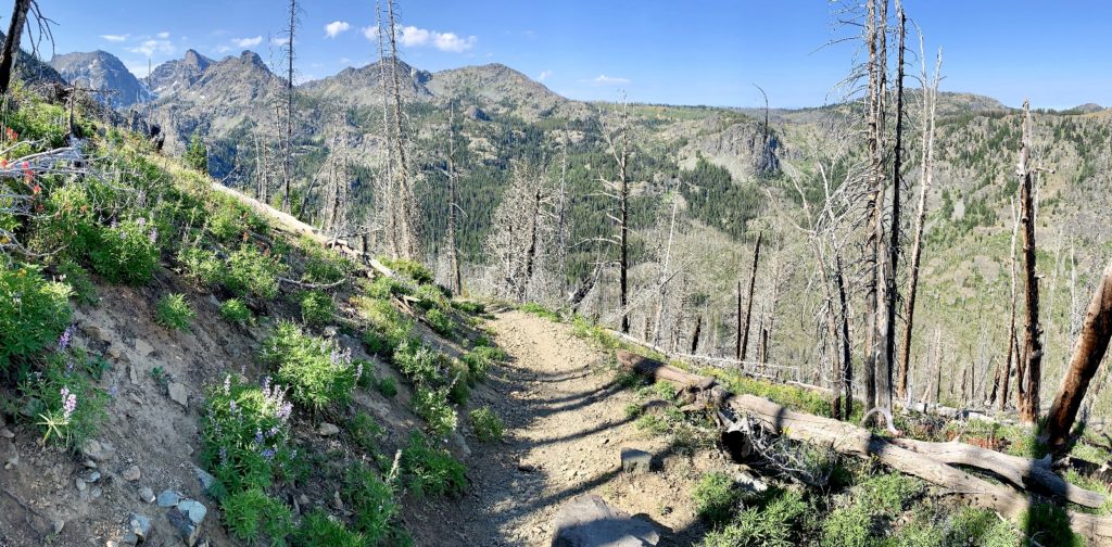
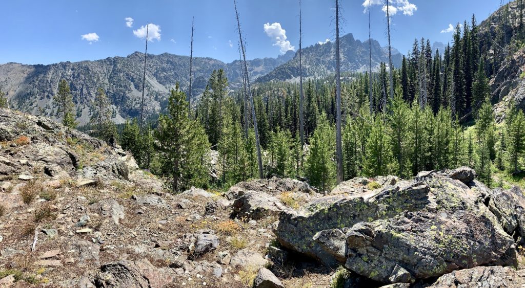
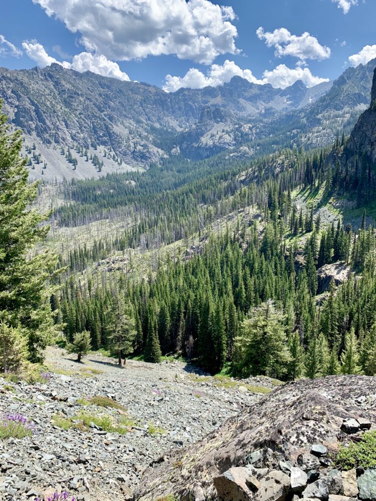
At two miles from the trailhead, the elevation gain moderated and we came to a beautiful break spot. Behind us we could see Heaven’s Gate Lookout. Ahead was Dry Diggins Lookout and in the distance the towering snow-covered peaks of the Eagle Cap Wilderness in NE Oregon.
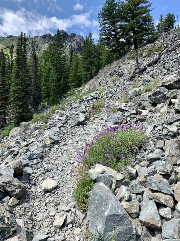
Hells Canyon breaks
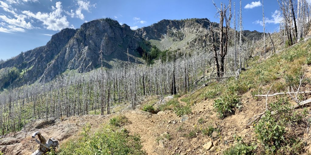
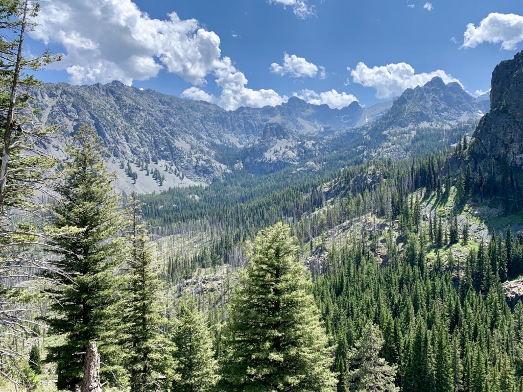
Shortly after our break, we began a 1,300′ descent down into West Fork of Sheep Creek. We left the worst of the burn area behind and views significantly improved as the trail turned to the south. We were staring into the heart of the Devils now and the rugged views almost made me forget the steep and rocky descent.
Bottoming out at Sheep Creek is a real treat for the senses after four miles of hot, burned out trail with 2,300′ cumulative elevation change. We entered a green forest and soon found ourselves along the cool and refreshing waters of Sheep Creek. We took a long break and rested our knees and backs before the last climb of the day.
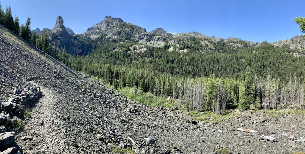
After crossing Sheep Creek, we had our easiest stretch of trail with lots of shade and relatively level trail for about half a mile. We even enjoyed a few sections of trail that weren’t rocky. But all good things soon pass and we found ourselves climbing 600′ up a shadeless talus slope in the baking afternoon sun. I’ll confess that I was pretty tired of elevation change and rocky trail by this point. Would our destination ahead be worth this effort?
climbing… 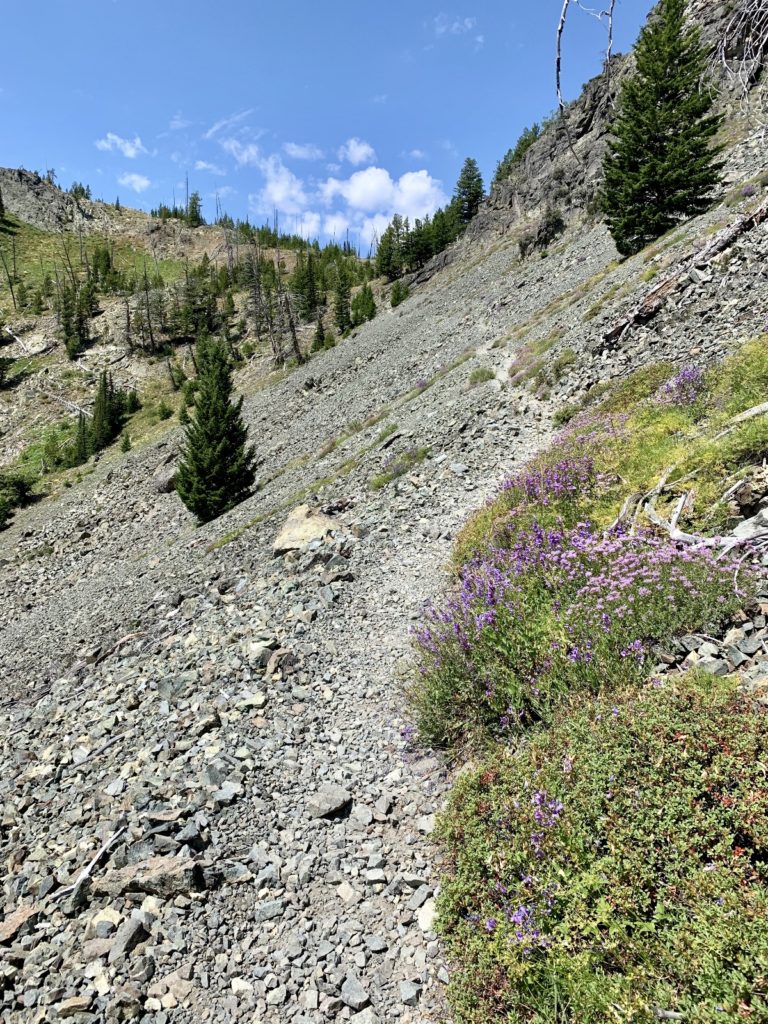
and more climbing… 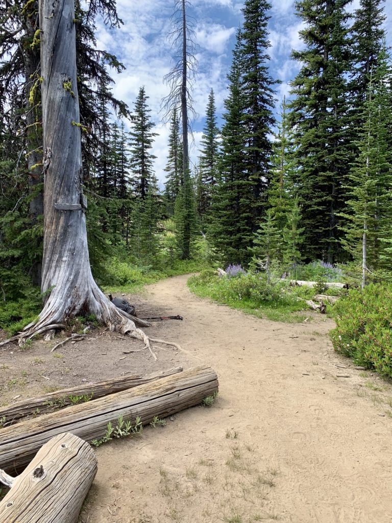
finally at Telephone Junction!
At 5.5 miles from the trailhead, we reached Telephone Junction. Dry Diggins Ridge and Bernard Lakes trails took off to the right. We took a short break before continuing straight ahead another half mile to an unmarked trail junction where we turned left onto Sheep Lake Trail #53. While the new trail made some ups and downs and continued to gain in elevation, the hiking was now significantly easier than it had been.
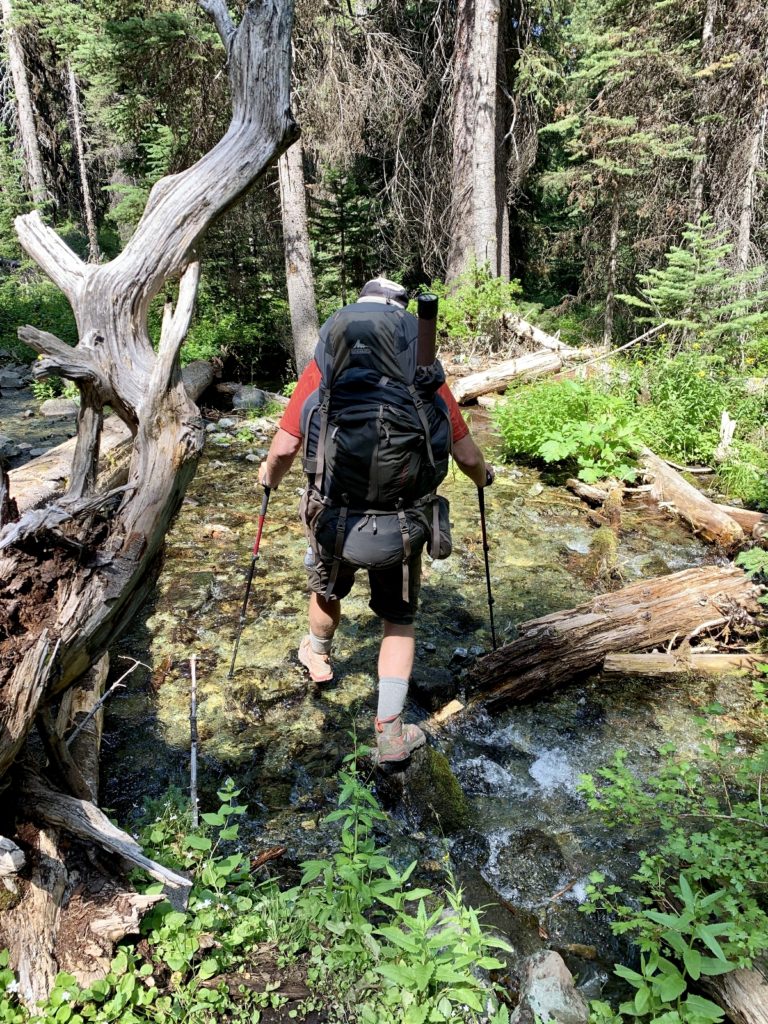
Shortly after the trail junction, we came to Lily Pad Lake. I would describe Lily as more of a pond than a lake. While we only had another mile to go, we were about out of water on a warm summer’s afternoon. Reluctantly, we crossed the swampy meadow and reached the lake’s shore where we filtered water from around a bunch of feisty pollywogs. Have I ever mentioned how much I love our Platypus water filter? It gets two thumbs up from this microbiologist!
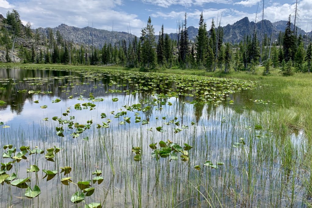

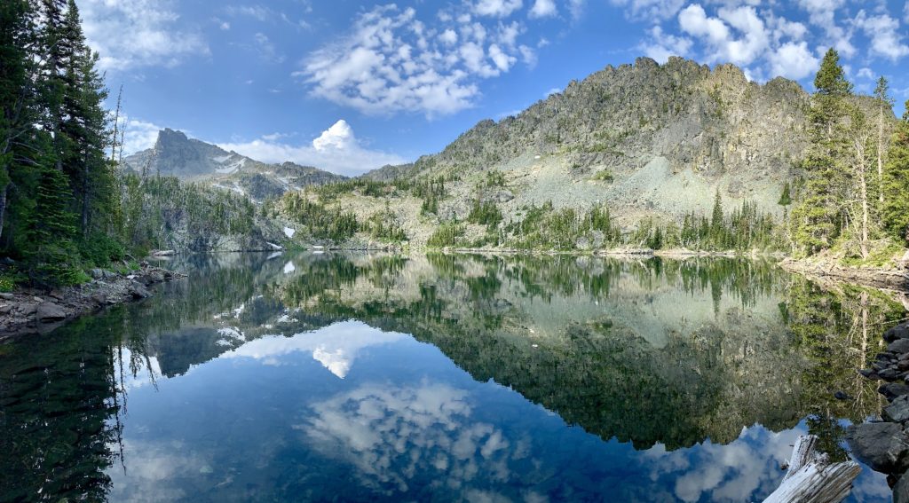
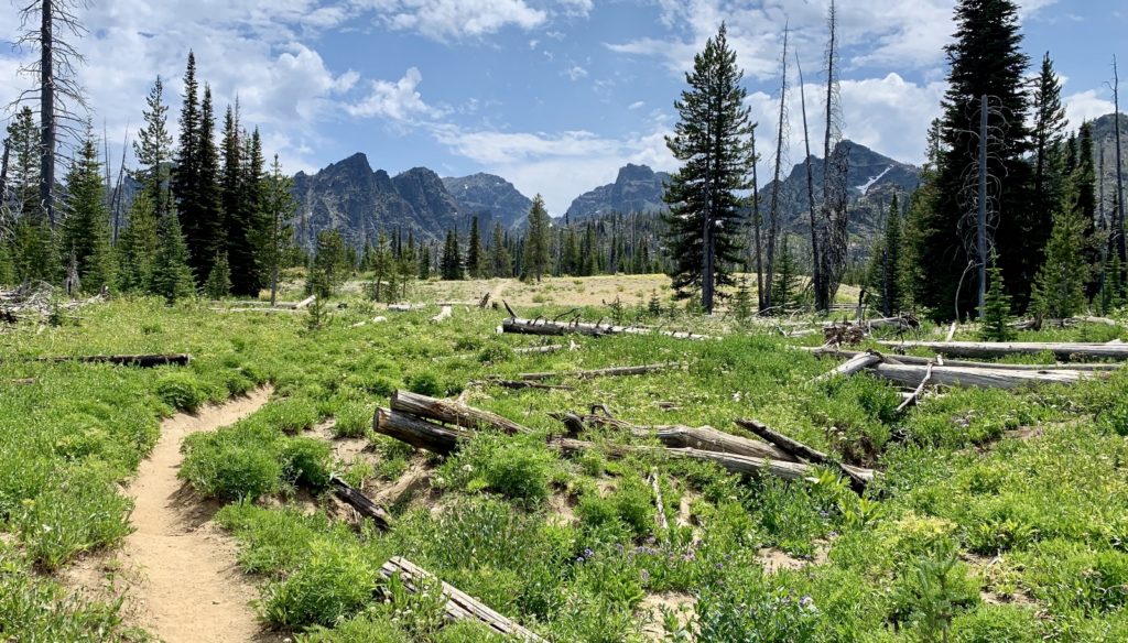
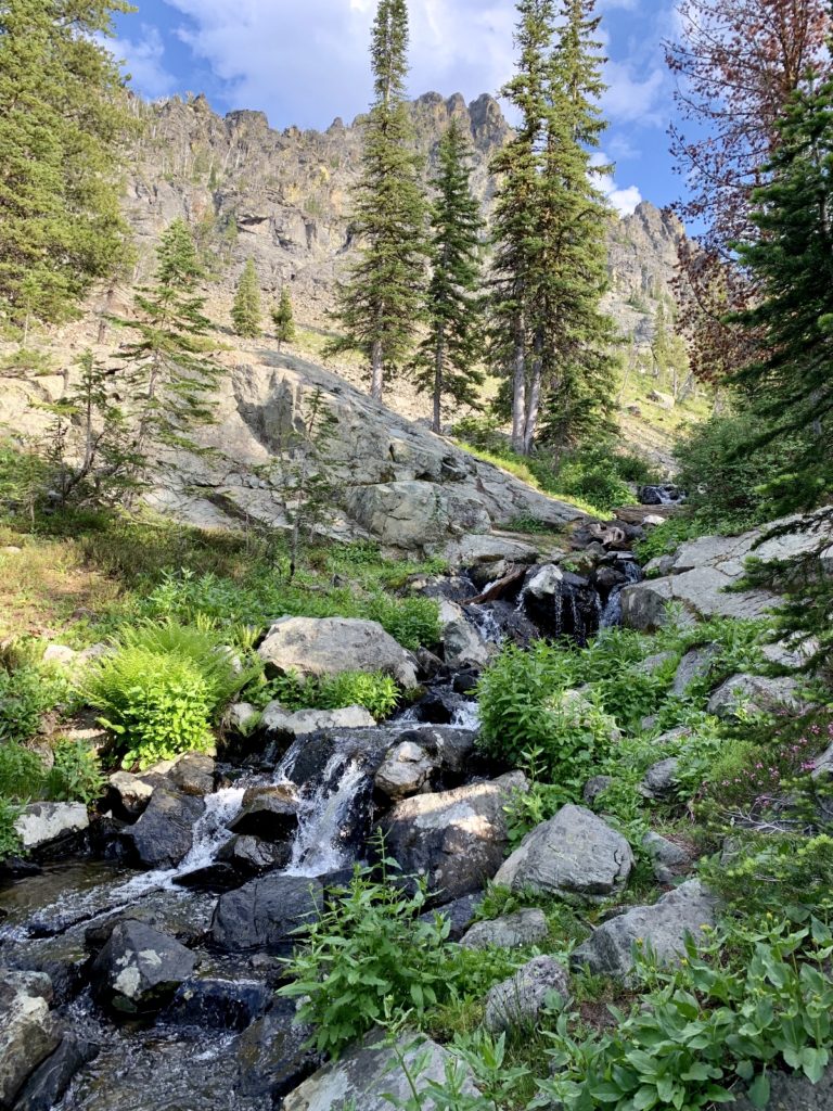
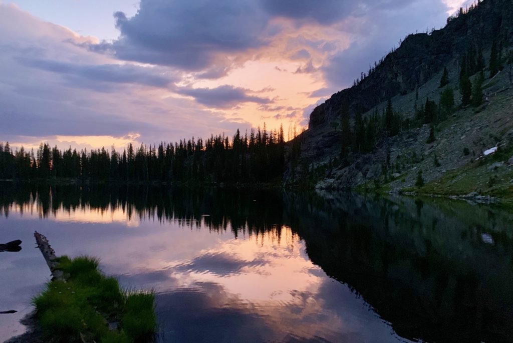
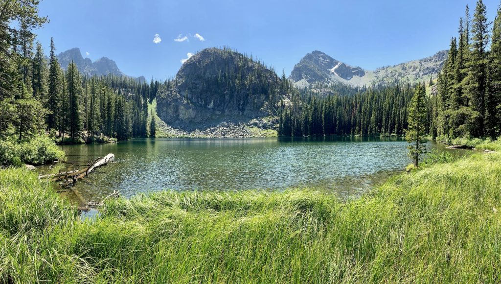
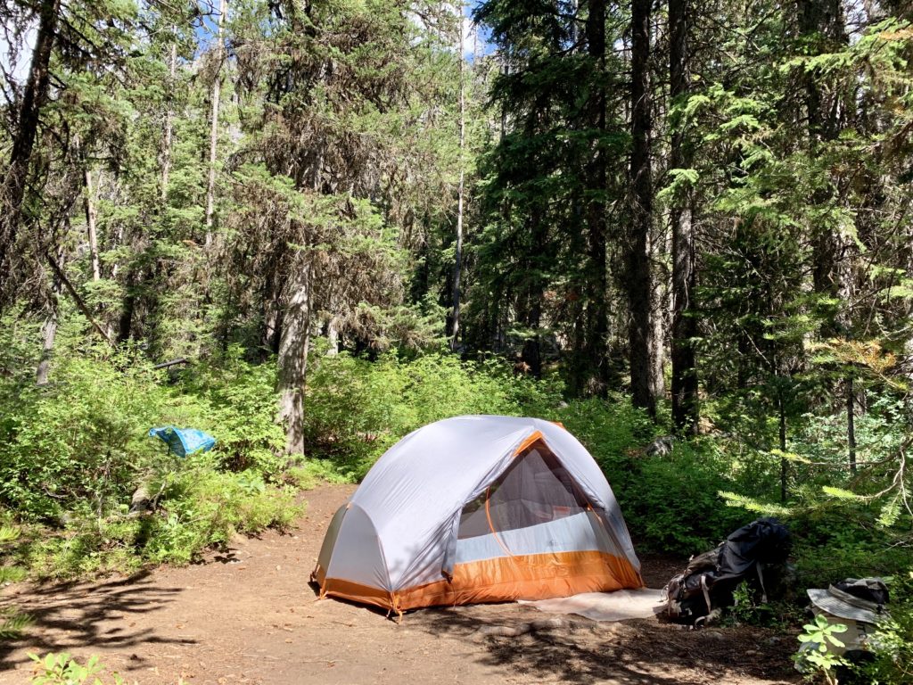
At 0.8 miles past the trail junction, we came to Basin Lake. We found a handful of nice campsites, but we continued on to Shelf Lake (elevation 7,460′) at 1.2 miles from the junction. Our good friend Doug had recommend a nice campsite at the inlet and it did not disappoint. We found a private campsite with nice views and a beautiful waterfall cascading down the mountain and into the lake just yards away from where we set up camp.
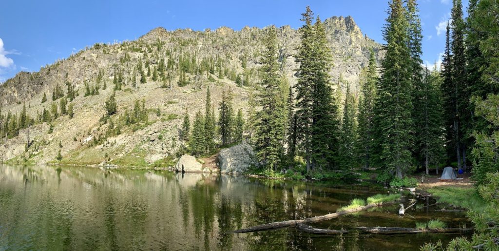
Our day felt much longer than the statistics showed. We were just 7.8 miles from the trailhead, but we had made over 3,000′ of elevation change on mostly rocky trail. Our feet, knees, and backs were sore, but we had a beautiful campsite. Better yet, we had the entire lake to ourselves that first night! Another party would camp at Shelf on our second night, but we could not see nor hear them from our site.
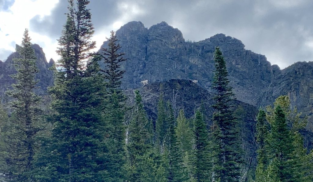
Conditions were mild for the Devils at the end of July. Each morning was in the upper 40s while daytime temps ranged from upper 60s to low 70s. We enjoyed peak wildflower season, but bemoaned the fact that the mosquitoes were quite fierce. DEET and head nets were our best friends for the adventure. We didn’t see much wildlife, but I did enjoy watching two mountain goats on a cliff above Gem Lake.
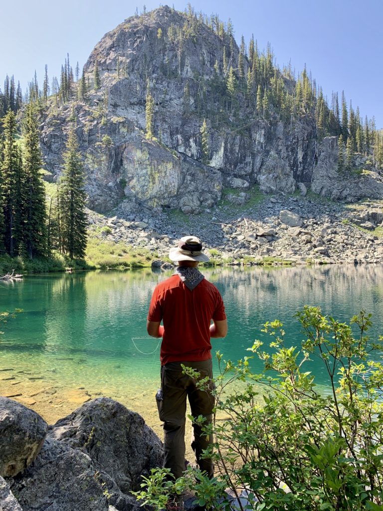
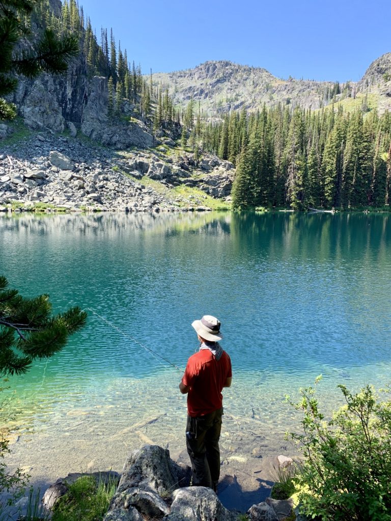
Day 2 & 3: Fish On!
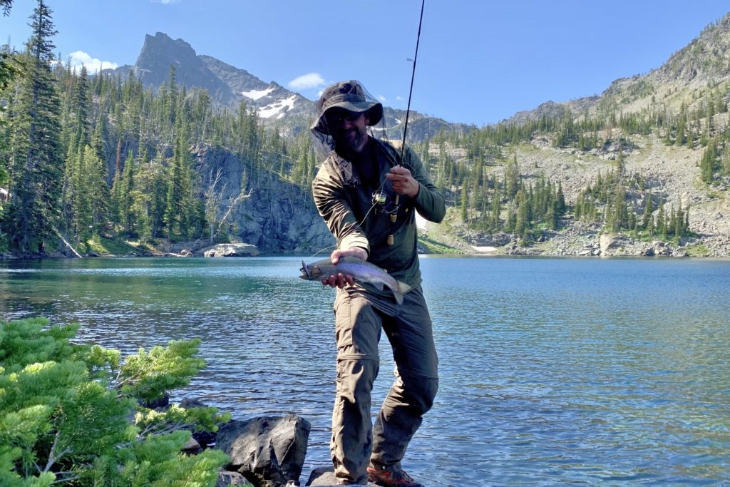
Jason spent days two and three of our adventure fishing Basin, Shelf, and Gem Lakes. The three lakes are less than a mile apart making it easy to spend time at each. Each lake had its own character and beauty. I thought Gem was by far the most beautiful though all were stunning. For fishing…well, I won’t give away which lake was the most productive. You’ll have to go find out for yourself. I will say that Jason caught many average sized trout at one lake, a couple large trout on another, and he saw but was unable to catch really big trout on the final lake.
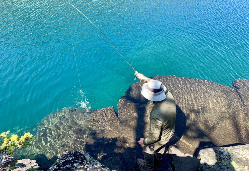
look at that beautiful water! 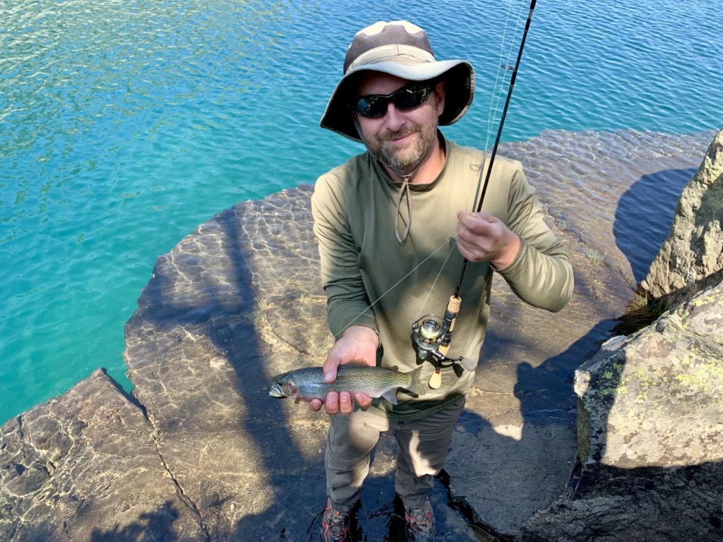
beautiful cutthroat trout
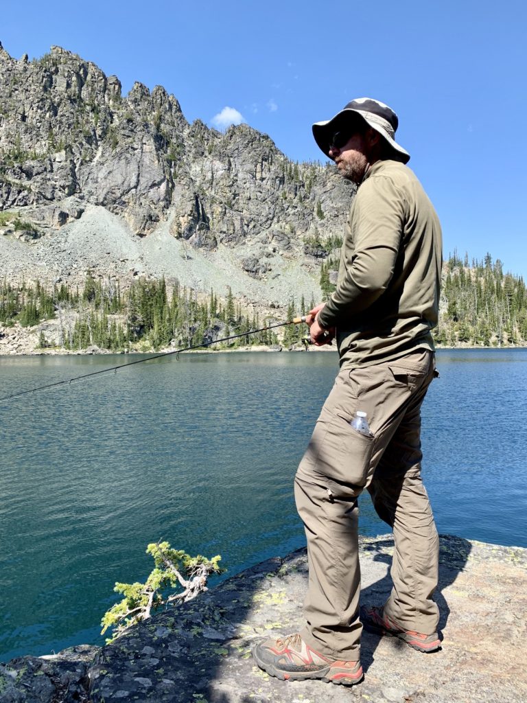
Fly fishing is Jason’s preferred method of fishing; however, he will use other methods when conditions are right. Take bass fishing—his favorite tactic is to throw out some soft plastics using a bait casting reel. The action is much faster and fish size is consistently larger using this method. Recently, Jason purchased a light weight spinning rod setup for our backpacks into high mountain lakes. While he used both his fly rod and spinning rod on this trip, all fish were caught using the spinning rod. Windy conditions and little room for a back cast made fly fishing the less appealing and productive option.
Day 3 & 4: Return Hike
On the afternoon of day three, we began our return hike toward Windy Saddle. We agreed that the hike out would be much more enjoyable if we didn’t have to climb out of West Fork of Sheep Creek in the hot afternoon sun. That hillside really bakes and is quite unforgiving. We didn’t need anyone to tell us that, but the sentiment was echoed by a veteran Devils backpacker we met at Shelf Lake. The first thing he said to me when he learned we’d come in on the Seven Devils Trail was, “you don’t want to get caught on that hillside in the afternoon sun. It will bake you.”
We hiked just shy of 4.0 miles from the lakes down to a campsite just past the crossing of Sheep Creek. Our creek-side site was in the most lush section of forest we had seen during our four days in the Devils. We enjoyed shade during the late afternoon heat and had easy access to the creek which was just a few feet away.
Sheep Creek camp 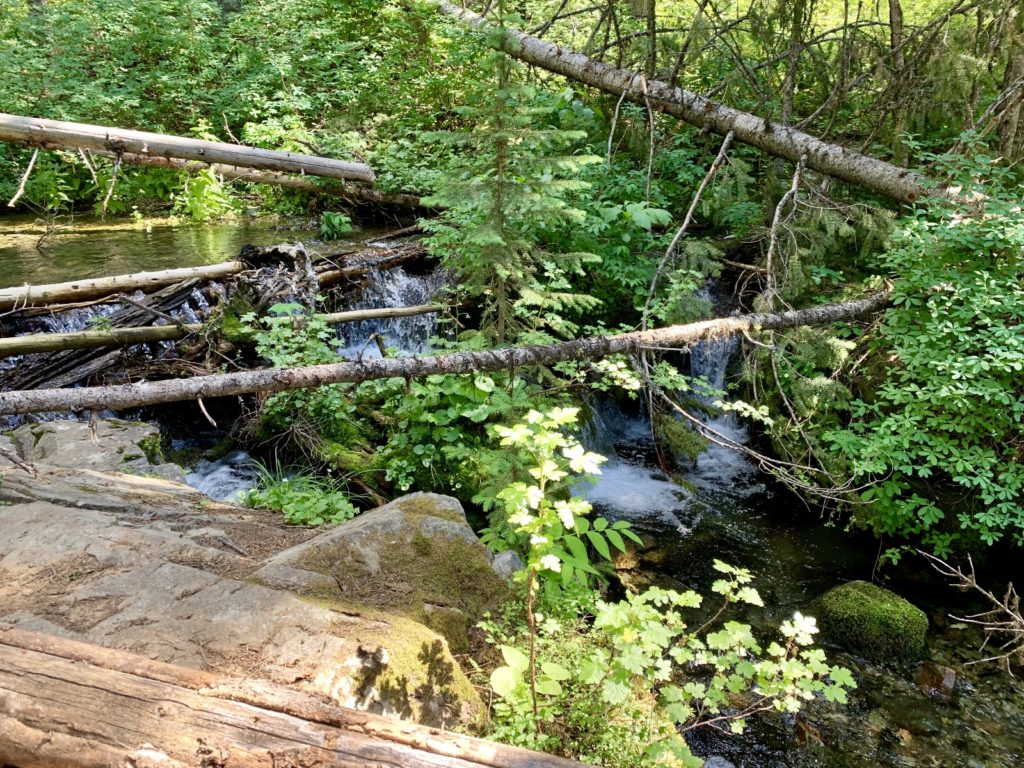
Sheep Creek view from camp
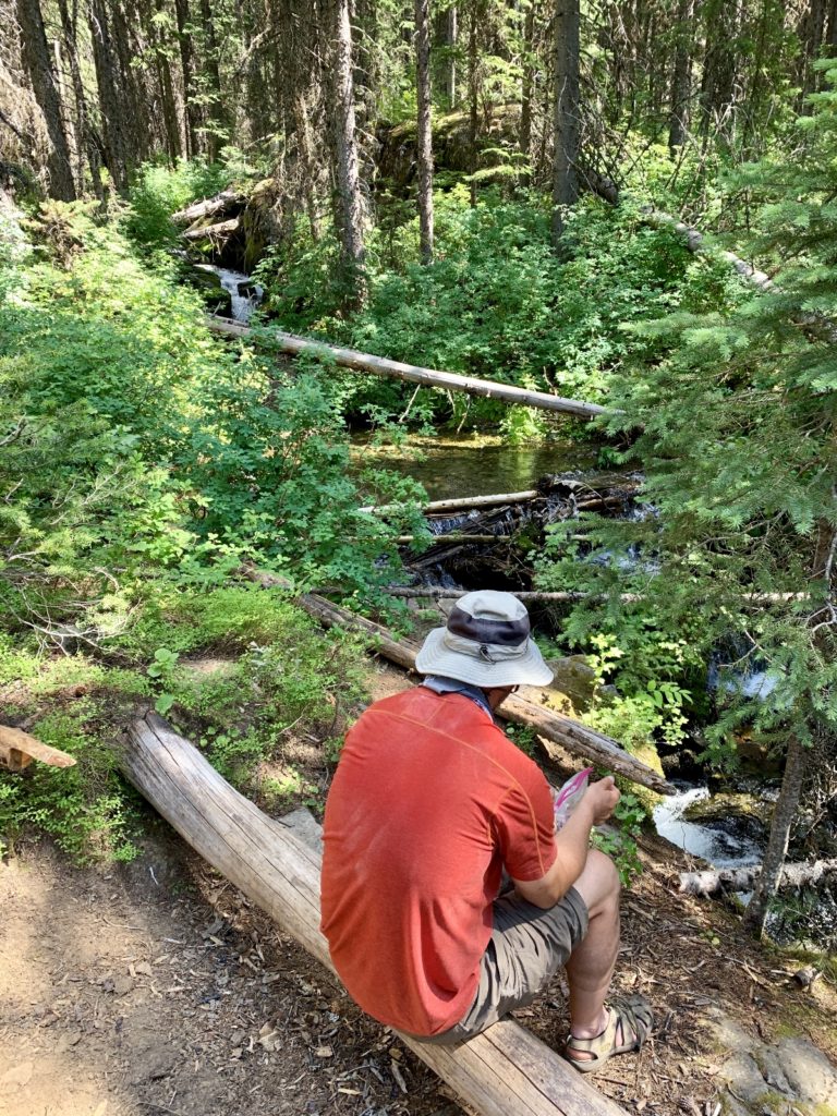
leisurely camp life 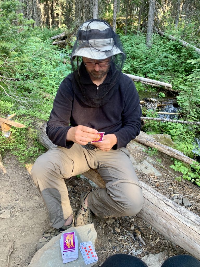
rousing game of 5 Crowns
On day four we had an uneventful hike out. We got an early start and were able to make the climb out of Sheep Creek in full shade. After seeing just a handful of people in three days, the final miles of day four felt like rush hour on the trail. We passed several horse parties and several groups of backpackers. It looked like we timed our visit perfect for solitude.
trail views 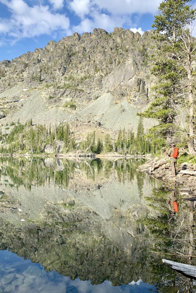
Jason at beautiful Gem Lake
Forest Service directions to Windy Saddle TH: From Riggins, Idaho travel south on Highway 95 for 1.3 miles to Seven Devils Road (becomes Forest Road 517); Turn right on Seven Devils Road and go 17 miles to trailhead and horse camp road junction; Take a left at the road junction then turn right into the trailhead entrance. Forest Road 517 is very steep, and narrow. Low clearance vehicles, RVs and vehicles pulling trailers are not recommended. The road can also be slippery when wet or frozen and is not recommended for trailers in the late fall and winter.
Beautiful and serene! I bet no one ( no names) got bored on that trek !
Mom- boy you got that right!! 🙂
Lusha
Beautiful photos