A steep climb leads to far reaching views and solitude atop the Kettle Crest
Distance: 7.3 miles round-trip
Type: out and back
Difficulty: moderate with 1,968′ elevation gain
Best season: June – October
It wasn’t shaping up to be a typical hot and dry July in the Inland Northwest. The week following the 4th brought one of the strongest summer storm systems since the 1970s with temperatures 25 degrees below normal. I searched a 250 mile radius from our home and found the best looking weather was around the Kettle Crest in northcentral Washington. We hadn’t visited that area for a couple years, so we loaded the Jeep and left our home in southeastern Washington in a pouring rain storm.
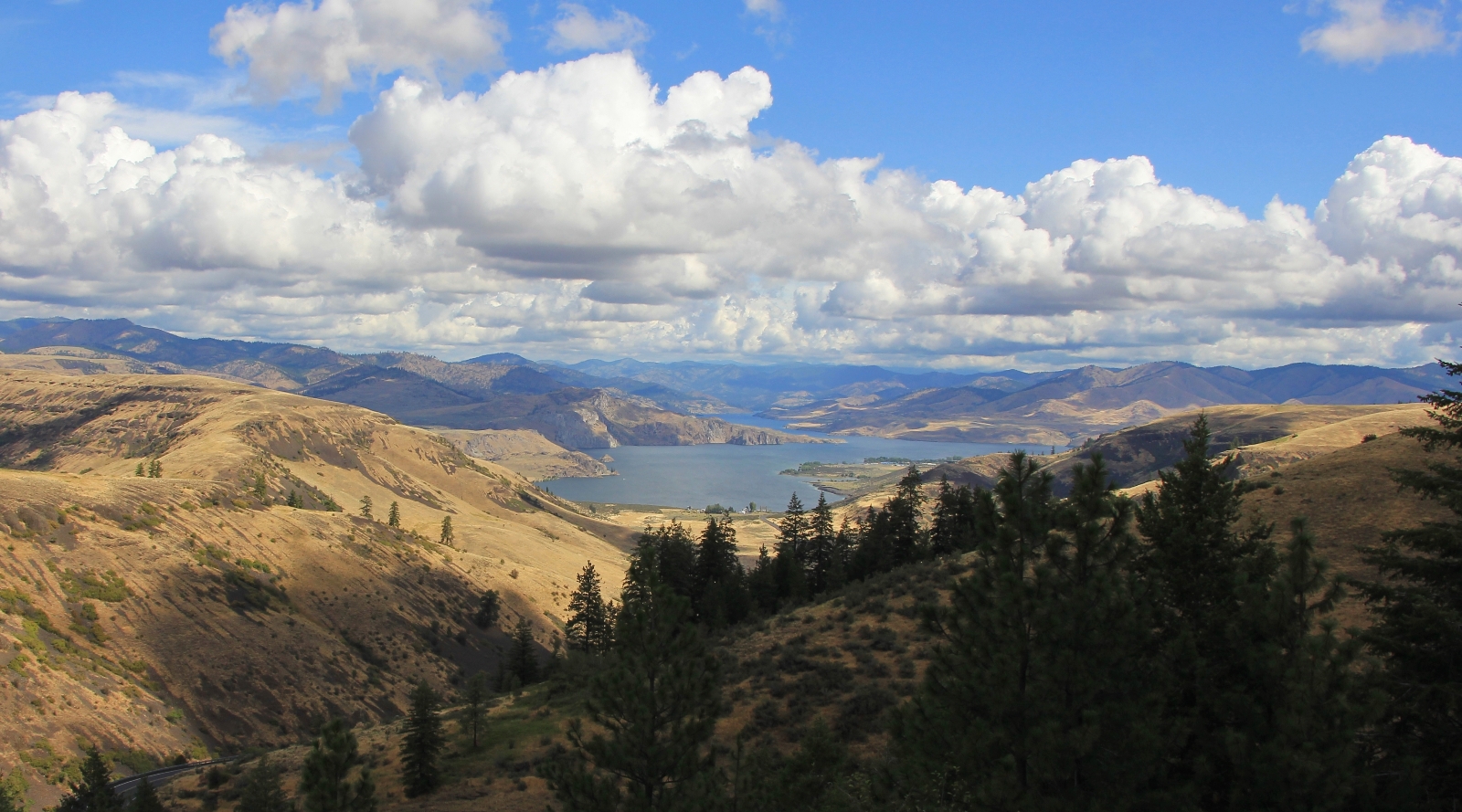
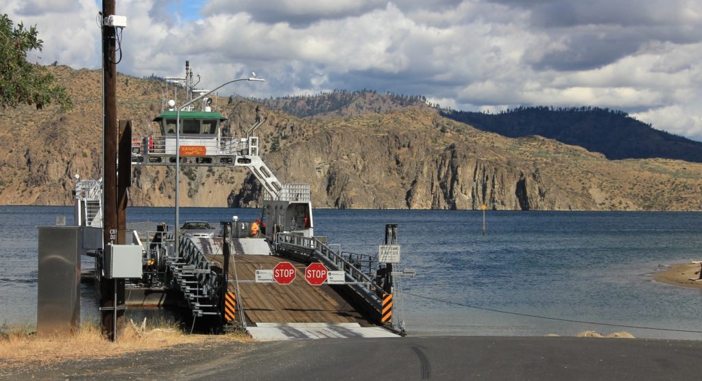
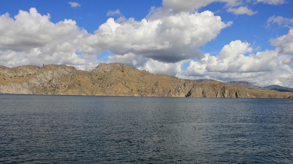
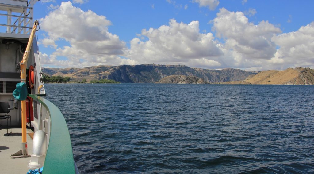
The quickest route to the Kettles from our home is north through Spokane and Colville; however, the most interesting route is by crossing the mighty Columbia River on the Keller Ferry. According to the Washington State Department of Transportation website: The M/V Sanpoil, also known as the Keller Ferry, is 116 feet in length with a 45 foot beam. The capacity of the vessel is 20 cars with a maximum of 149 passengers and two crew members. The top travel speed is about 14 knots and the crossing takes about 10 minutes. The Keller Ferry crosses the Columbia River at its confluence with the Sanpoil River from Ferry County and the Colville Indian Reservation on the north bank to Lincoln County on the south. The Columbia River is 1 1/4 miles wide at this point with basalt cliffs and scab land forming both shores. The river wasn’t always as wide. Construction of the Grand Coulee Dam about 15 miles downstream from the ferry route quadrupled the width of the river when the reservoir was filled in 1942. Prior to that, the ferry crossed a free-flowing Columbia River rather than the slack water Franklin D. Roosevelt Lake as it does today.
By the time we reached the Columbia, we had beautiful blue skies with big poofy white clouds. It was a lovely day to enjoy the ferry ride.
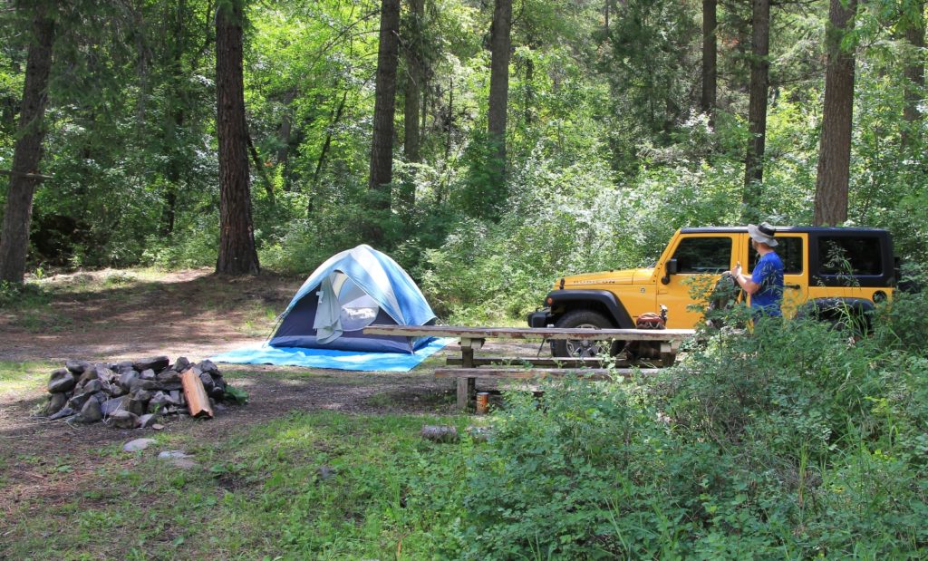
We continued north through the Colville Indian Reservation and pulled into the Thirteen Mile Canyon Trailhead south of Republic. We had camped there two years prior and had enjoyed having the location all to ourselves. Once again, we had it all to ourselves.
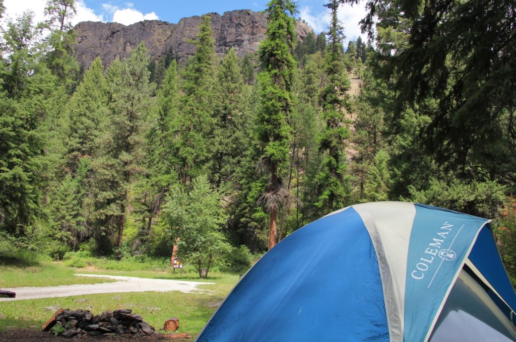
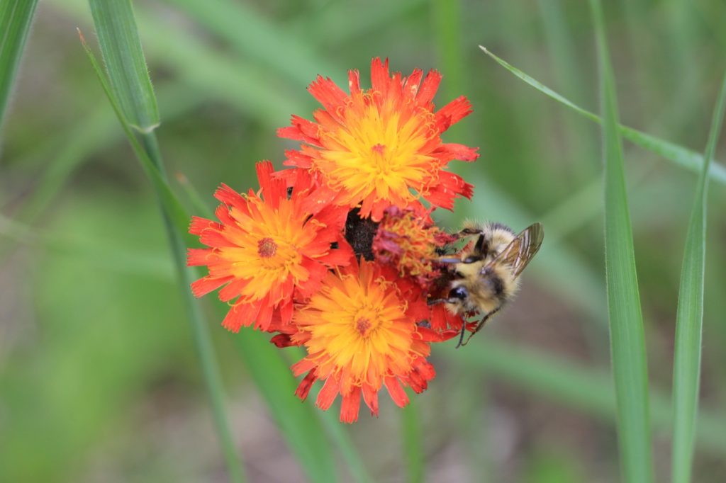
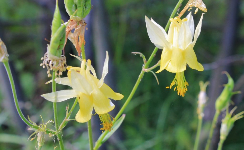
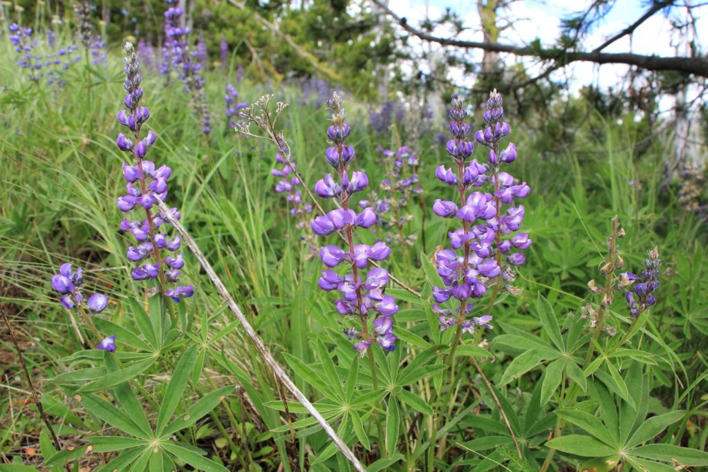
We set up camp and then made a short four mile hike up Thirteen Mile Canyon where we found an abundance of wildflowers in bloom. Our day ended with burgers at Freckles in the charming little town of Republic. Freckles consistently offers one of the best burgers we’ve found.
Sunday morning, we broke camp and drove north to the Edds Mountain Trailhead (elevation 4,3,50′) east of Republic on the road to Sherman Pass. An empty parking lot greeted us complete with clean outhouse and a lone campsite that was nice and private but appeared to be lacking an ideal tent pad.
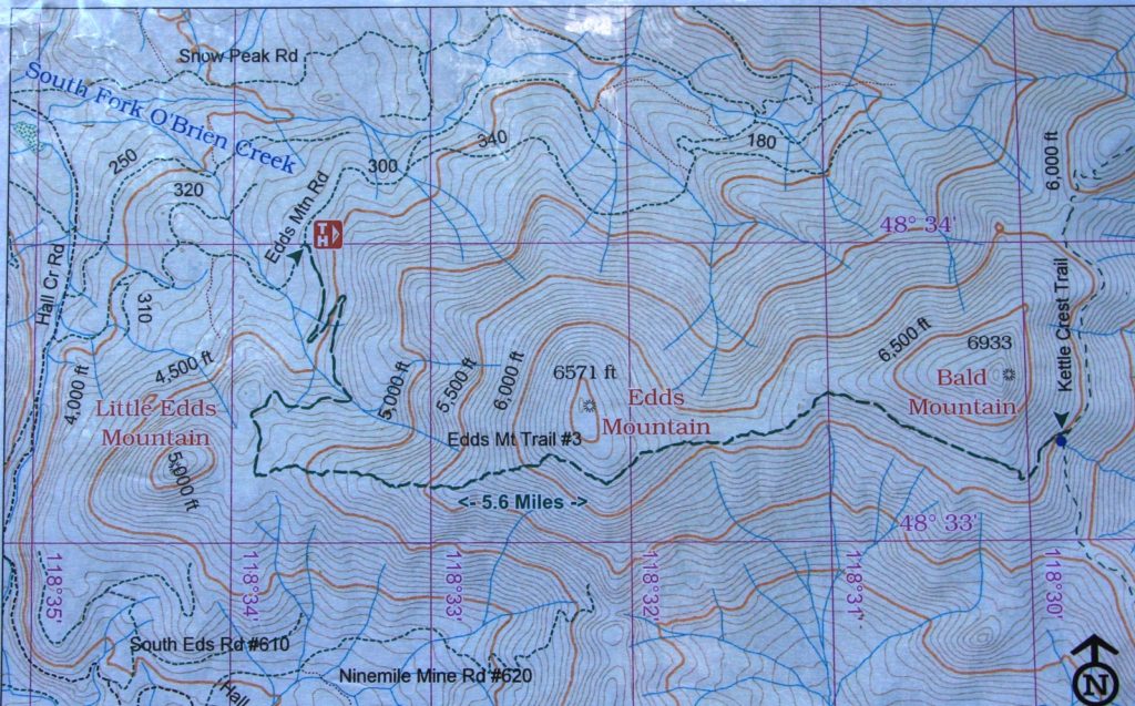
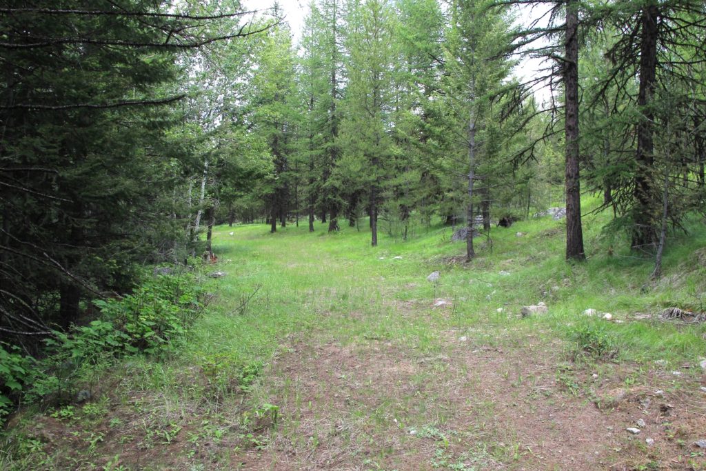
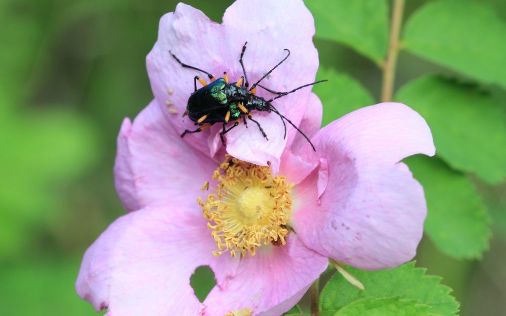
We began our hike under party sunny skies. The first couple of miles followed an old logging road that is quickly reverting back to nature and becoming more trail-like. The grade here was moderate, climbing just 500’ in two miles. It was a nice hike through forest with a few glimpses of Edds Mountain as well as lot of mushrooms, wildflowers, and elk scat along the forest bottom.

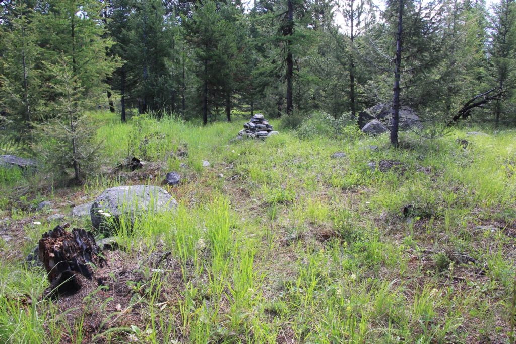
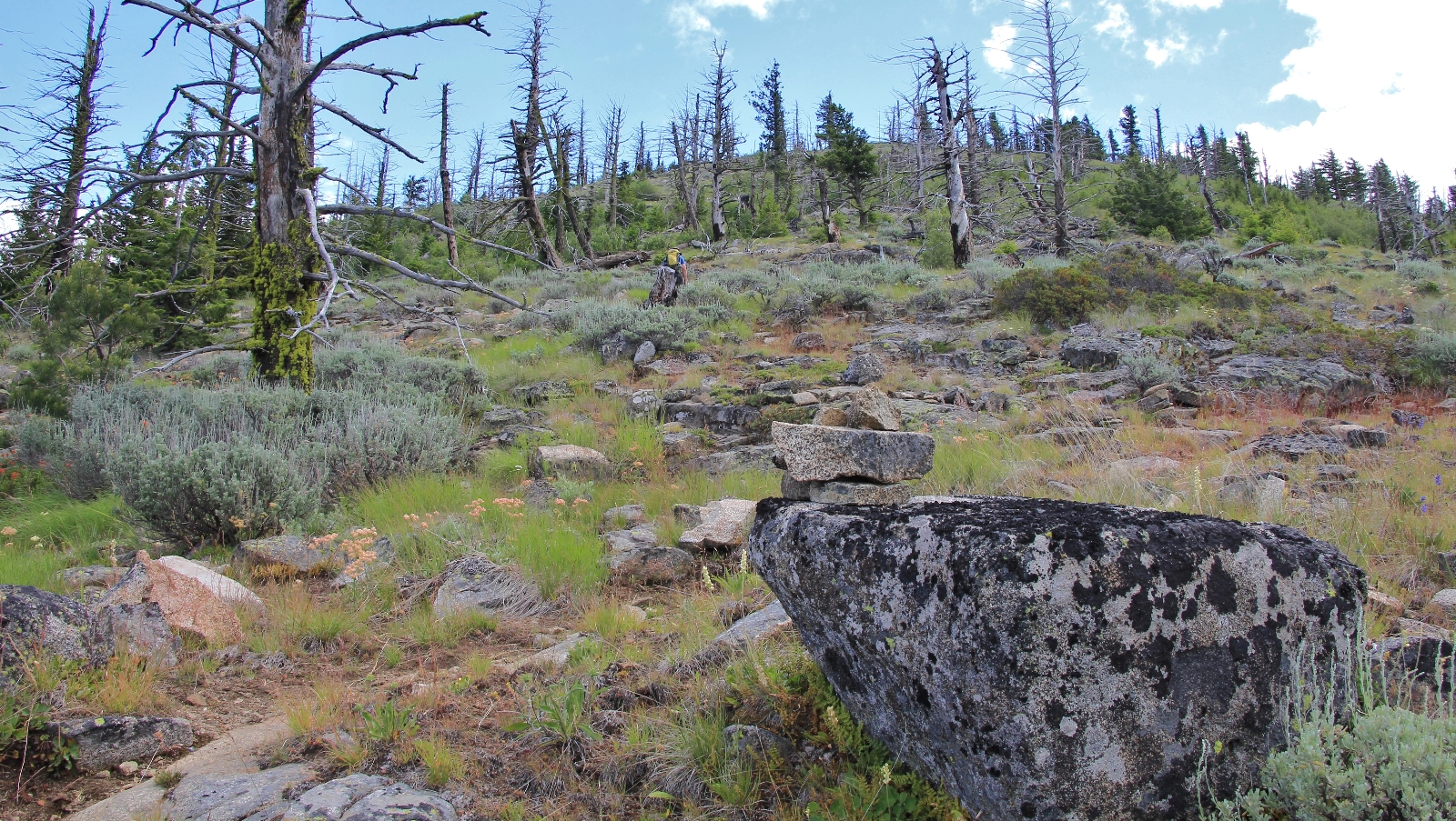
At just shy of two miles in we reached the end of the old road and what was apparently the old trailhead. Here the trail seemed to disappear for a moment, but we saw a cairn to the left and followed that. Much of the route from here to the top of Edds would be a mix of trail and cairned route. At times we had to do a little searching, but mostly it was easy to follow if you kept your eyes open.
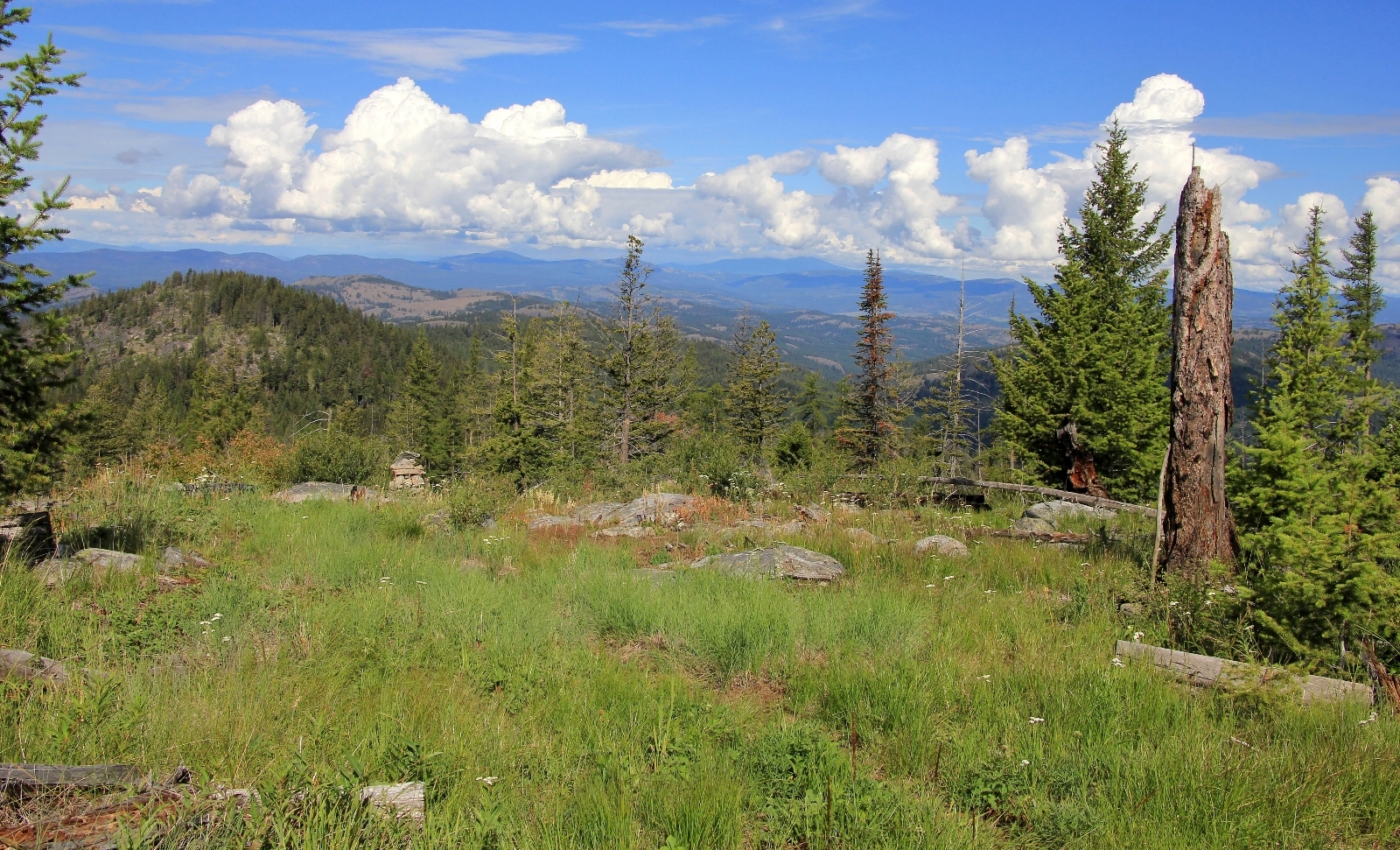
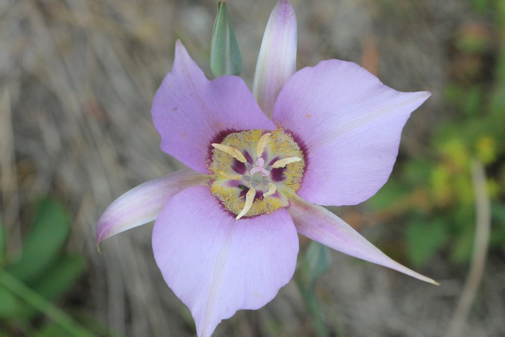
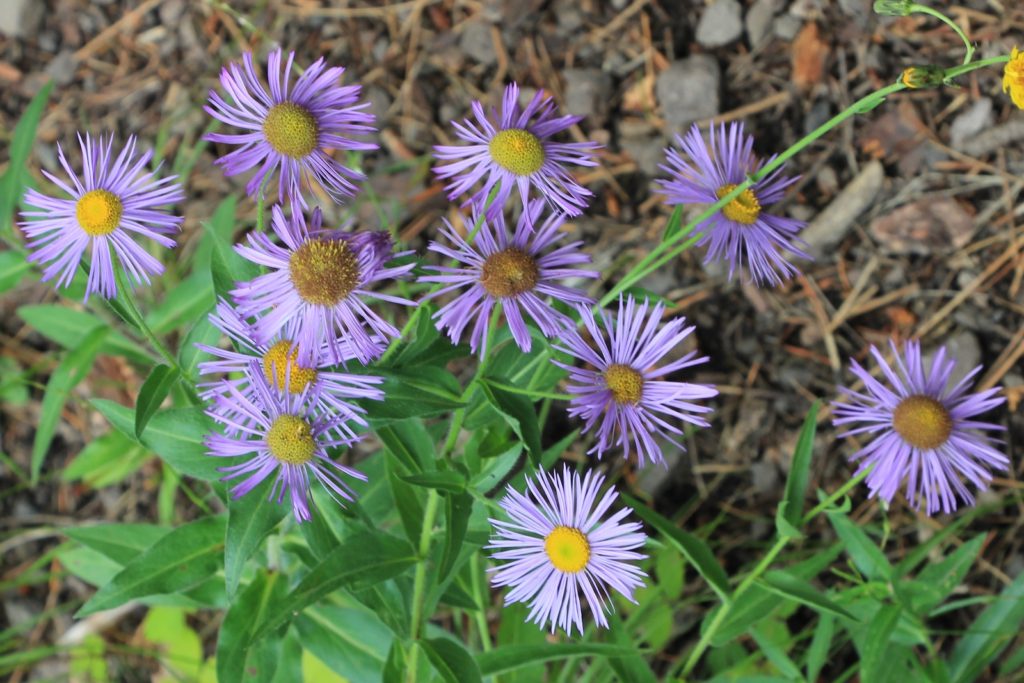
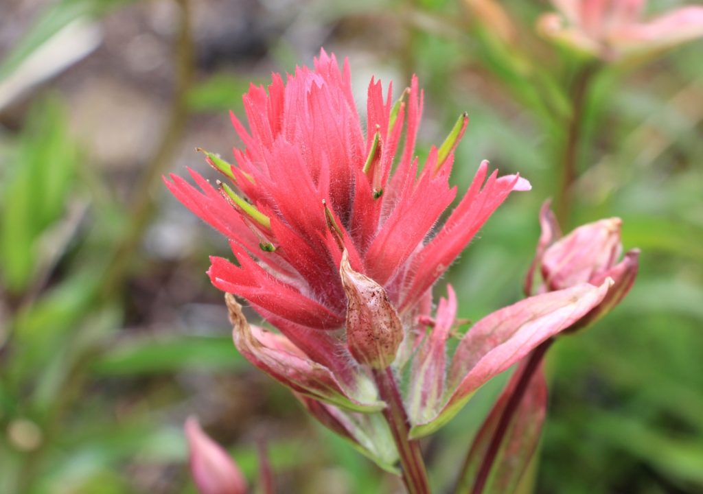
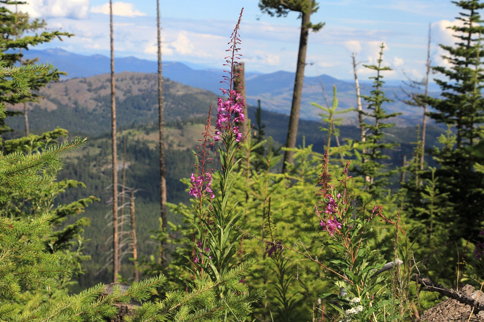
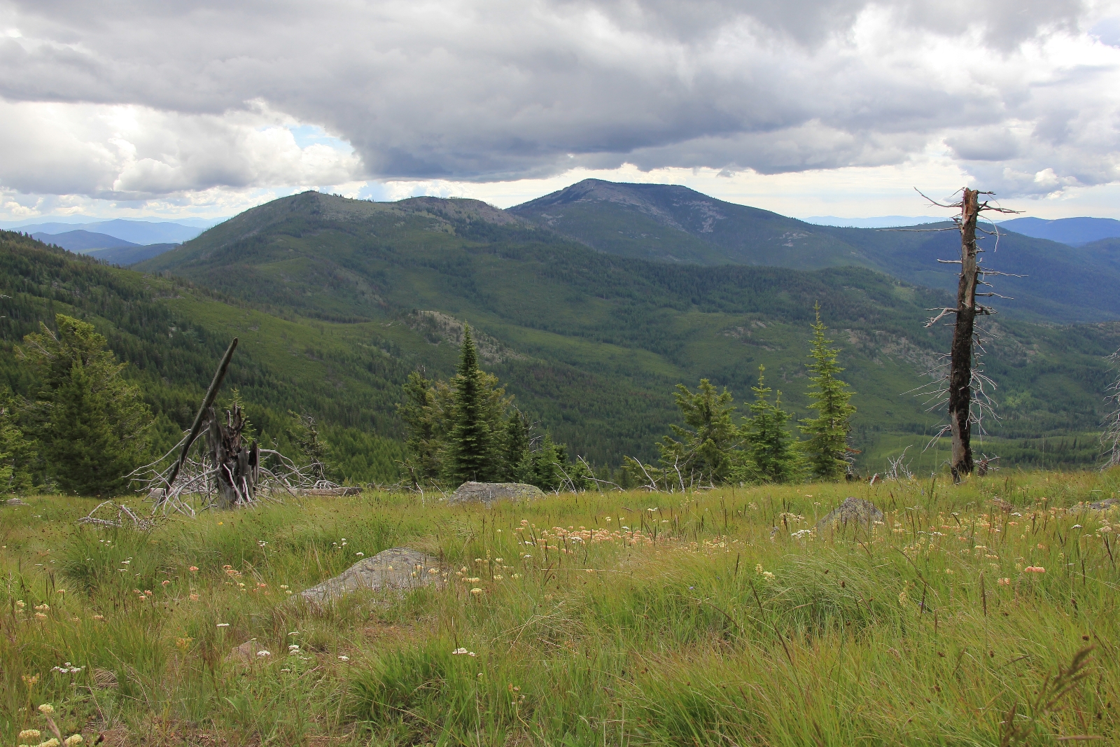
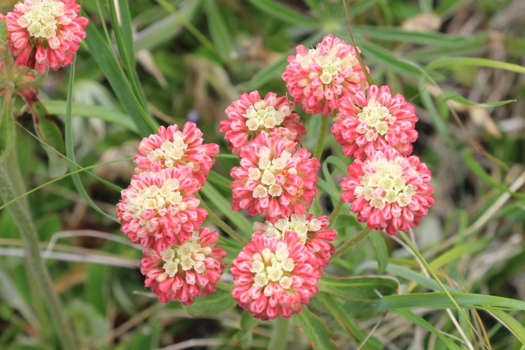
It was time to climb. Over the next 1.7 miles we’d climb about 1,500 feet in elevation. The wildflowers and views helped distract us, but it was a stiff climb at times over rocky trail. We had sweeping views to the west and south and the sky was full of big white clouds contrasted against a blue sky. I was thrilled to find some pink paintbrush in this stretch.

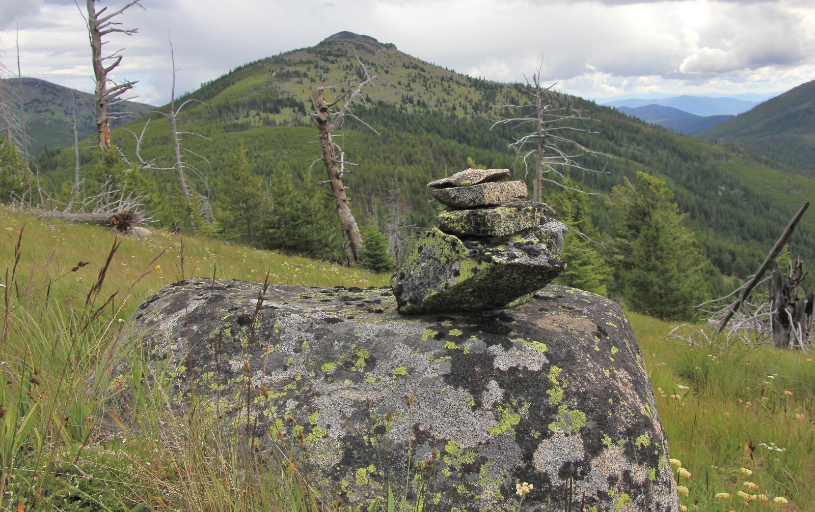
As we neared the top of Edds Mountain (elevation 6,550’), the clouds started moving in. Soon we were in solid cloud cover with rain falling around us in all directions. We hiked to the far east side of Edds before deciding we had probably gone far enough and should turn around due to the deteriorating weather. Our goal had been to continue on to Bald Mountain, but we decided it was best saved for another day.
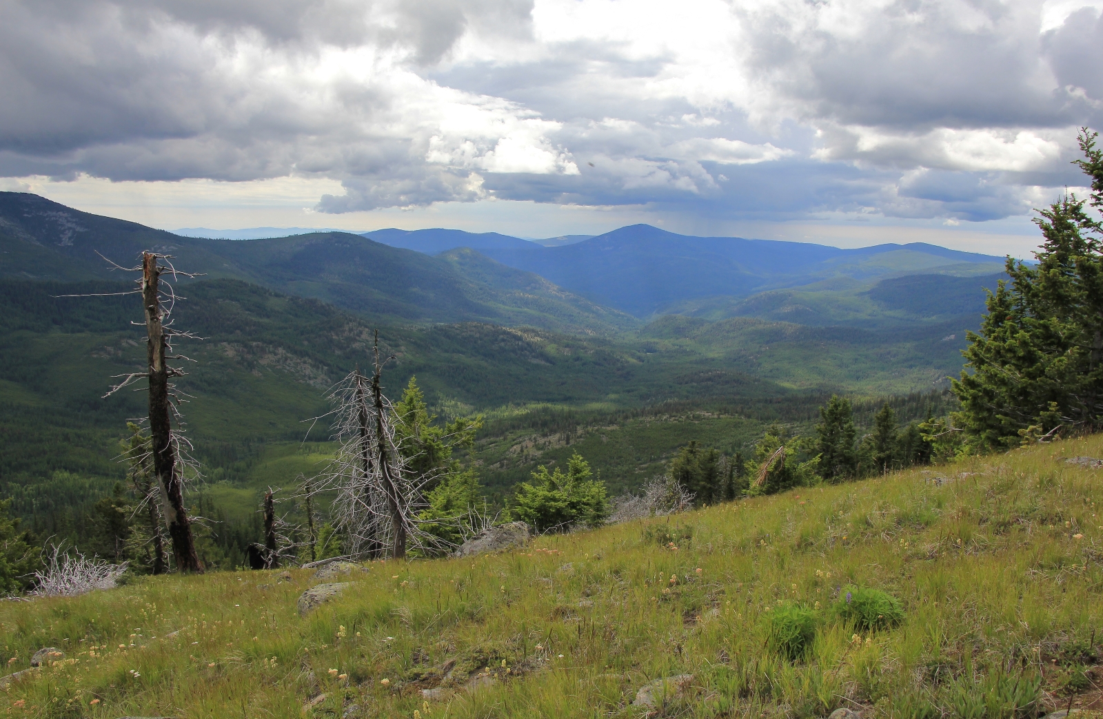
We graded our way back around and were starting down the steep stretch when saw a big bolt of lightning strike just a few peaks away. I told Jason, “We gotta get out of here!” We took off down the trail as fast as we could—wanting to make it well into the tree line as quickly as possible. Before long, both our knees were screaming from the rapid descent over the steep, rocky terrain. We breathed a collective sigh of relief when we reached the old trailhead and thick forest cover.
It was an easy couple of miles back to the Jeep at that point. Somehow we managed to avoid rain as the storm clouds skirted to all sides. Once again, the Kettles had delivered a fine hike and superb solitude.
Directions to trailhead: From downtown Republic, Washington travel east on SR-20 toward Sherman Pass. At 7.3 miles, turn right onto Hall Creek Road (Forest Road 99). Travel 4.4 miles and turn left onto Forest Road 300. Continue 1.5 miles to the trailhead where there is a privy and parking for several vehicles.