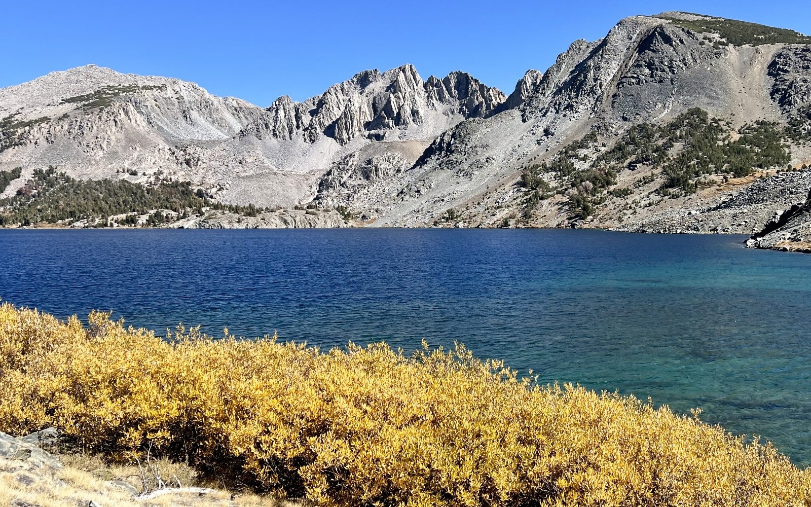
The mountains are calling and I must go.
—John Muir
The John Muir Wilderness stretches for 100 miles along the Sierra Crest and spans some of its most iconic locations including Mt. Whitney, tallest peak in the lower 48. This is a land of glacially carved canyons, snow-capped granite peaks, meadows, and alpine lakes. The 650,000 acre wilderness was designated by Congress in 1964 and named in honor of naturalist John Muir who spent his life advocating for the protection of the Sierras.
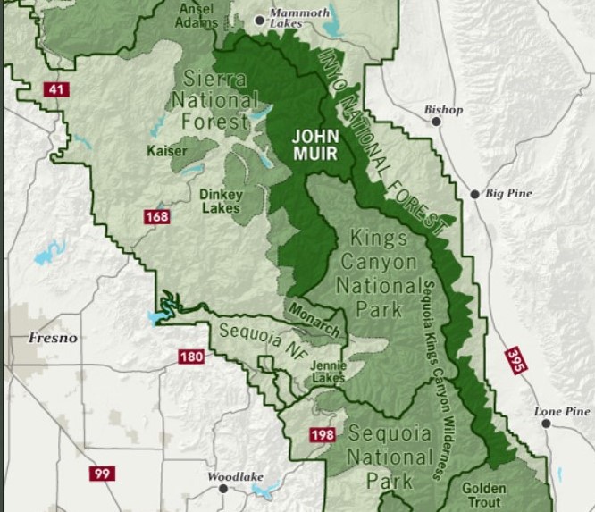
The John Muir Wilderness is contiguous with Kings Canyon and Sequoia National Parks, Ansel Adams Wilderness, Golden Trout Wilderness and several other wilderness areas. Together, they constitute one of the largest roadless areas in the lower 48. But just because the area is roadless, doesn’t mean it isn’t busy. Approximately 30 million people live within a few hours’ drive and the Muir is a popular destination. Over 590 miles of maintained trails traverse the wilderness including portions of the John Muir and Pacific Crest trails.
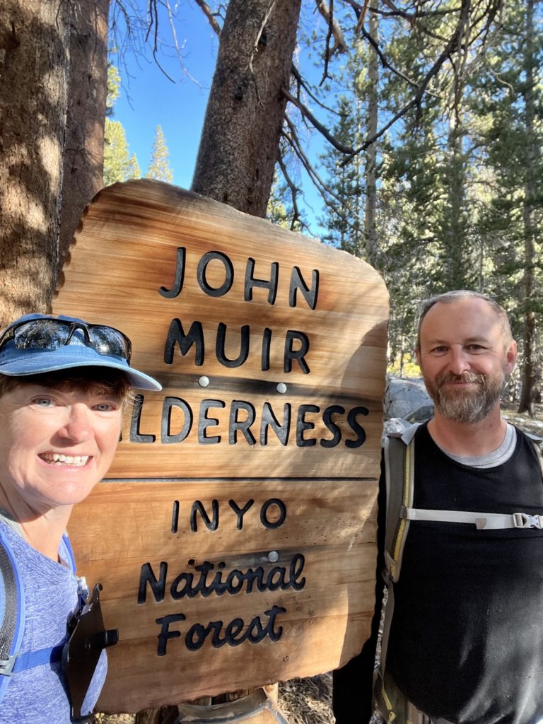
The John Muir is approachable from both sides of the Sierra Nevada. Most visitors, like us, enter from the east at various points off highway 395, from the town of Mammoth Lakes at the north end south to Lone Pine. During our 2022 fall travels to the Sierras, we enjoyed eight days of hiking in the John Muir. We lucked out with near perfect weather and successfully timed peak fall colors for many of the hikes.
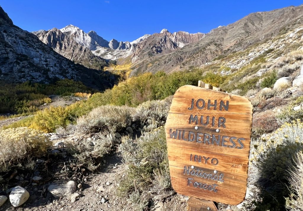
Hilton Lakes
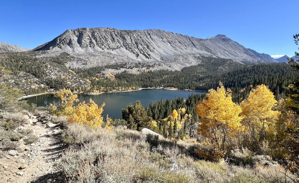
Our first hike in the John Muir was the Hilton Lakes Trial in the Rock Creek area. Rock Creek Road is a well-maintained paved road that provides easy access to some of the Muir’s highest starting elevation trailheads. Rock Creek is a popular area with hikers, especially in October as fall colors are peaking. I didn’t know much about this trail other than it was supposed to be great for fall colors and be a quiet alternative to the crazy busy Little Lakes Trail just a few miles further up the road.
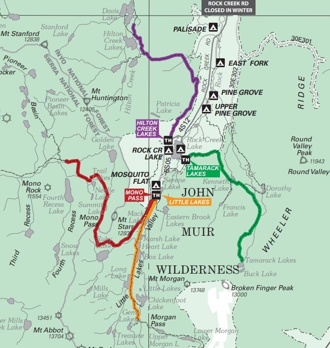
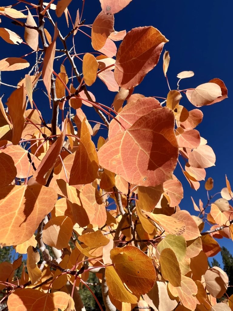
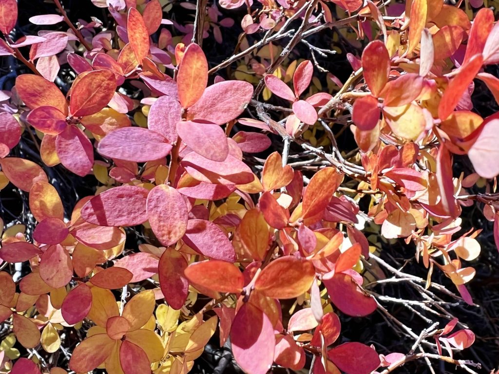
The Hilton Lakes trail starts at 9,866 feet of elevation. Fortunately, we’d been in the Sierras for a few weeks and had acclimated to the elevation. On paper this should have been an easy hike considering our peak elevation was just 10,500 feet. But this was one of those hikes that rises and falls many times along the way. We’d climb, then drop, climb, then drop. We felt like we were climbing nearly the entire hike (total elevation gain was 1,600 feet over the course of the 12 mile roundtrip hike). True to its reputation, we saw spectacular fall colors and only one other hiker.
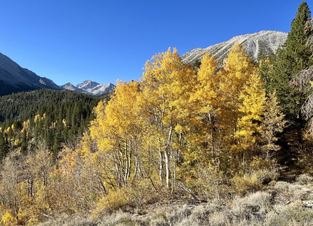
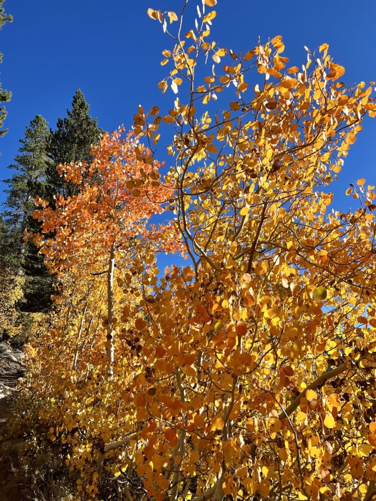
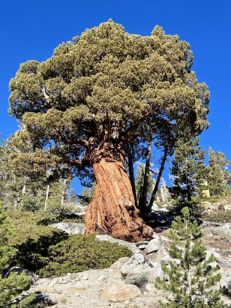
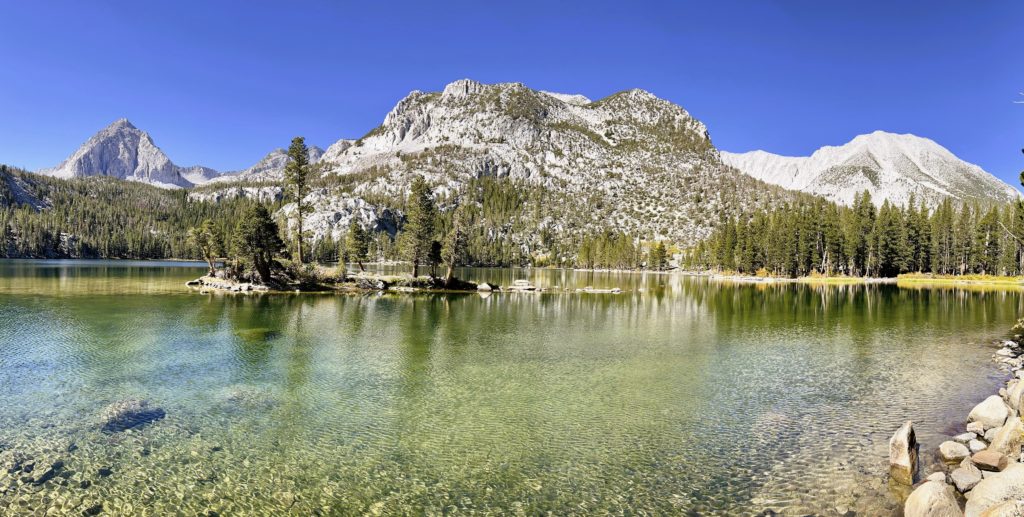
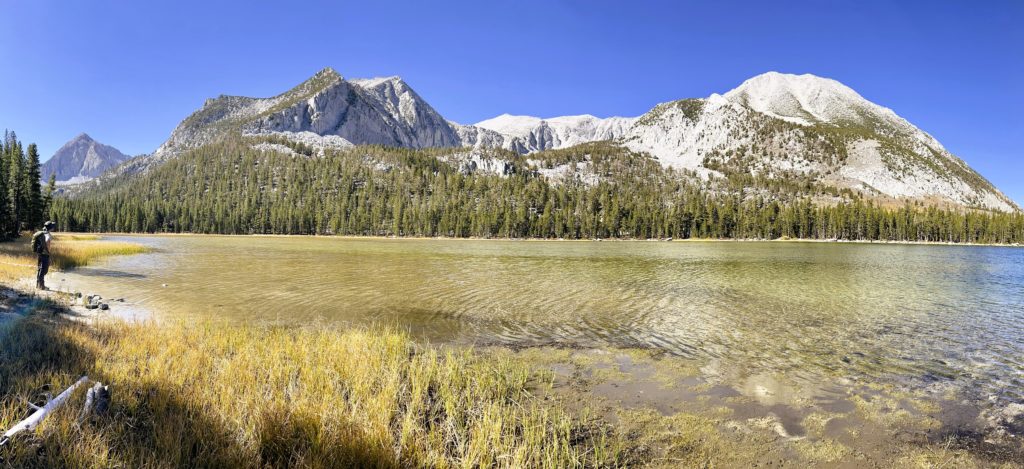
This trail offers hikers a couple different options. At 4.5 miles from the trailhead, the trail split and we had a decision to make: go left to series of smaller upper lakes or go right to Second Hilton Lake and Davis Lake. We turned right. The trail became less obvious near each lake as a network of social trails took off in all directions, but navigation was easy thanks to the AllTrails map I had downloaded.
McGee Creek
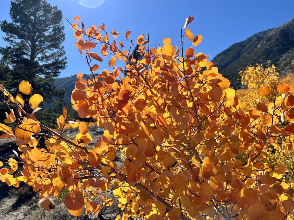
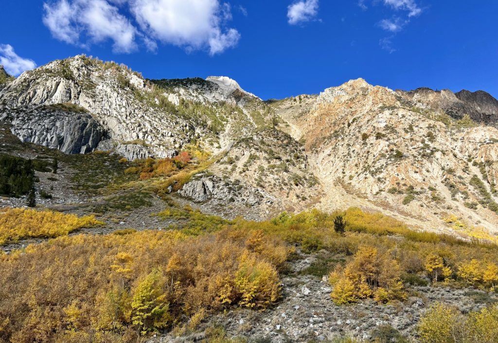
The Eastern Sierras are one of the best places in the West for fall colors. Colorful aspen groves attract a diverse crowd of photographers, hikers, leaf peepers, and families. Generally, late September to late October is the best time to catch the show. Mono County Tourism puts out a great fall colors report that is updated weekly during peak season. It lists the fall color hot spots, their elevation, and a rating of leaf color progression. We loosely followed this report during our travels. It is a bit of a double edged sword. You get the insider’s scoop on where the best colors are…but so does everyone else. Generally, we hiked the popular trails during the week, so crowds weren’t typically an issue for us. McGee Creek was the exception and we knew it would be a busy day on trail—it was a beautiful Sunday morning, ahead of a big storm that would blow all the yellow leaves off the trees, and the leaf report was rating McGee as 75-100% – Peaking (GO NOW!)
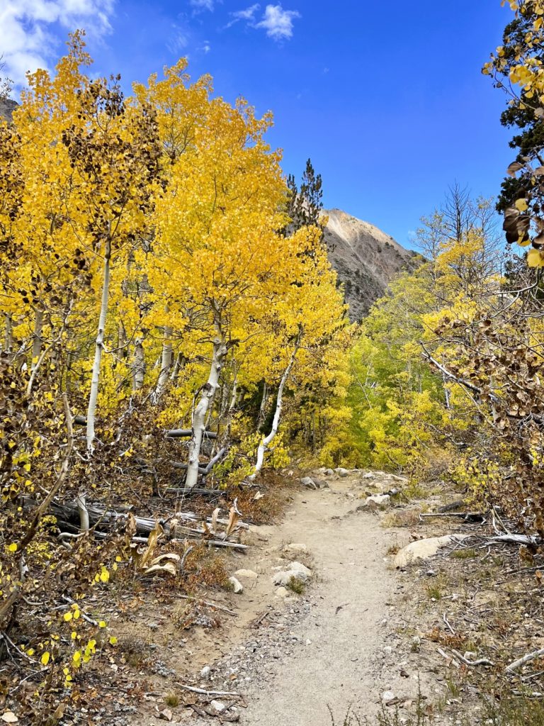
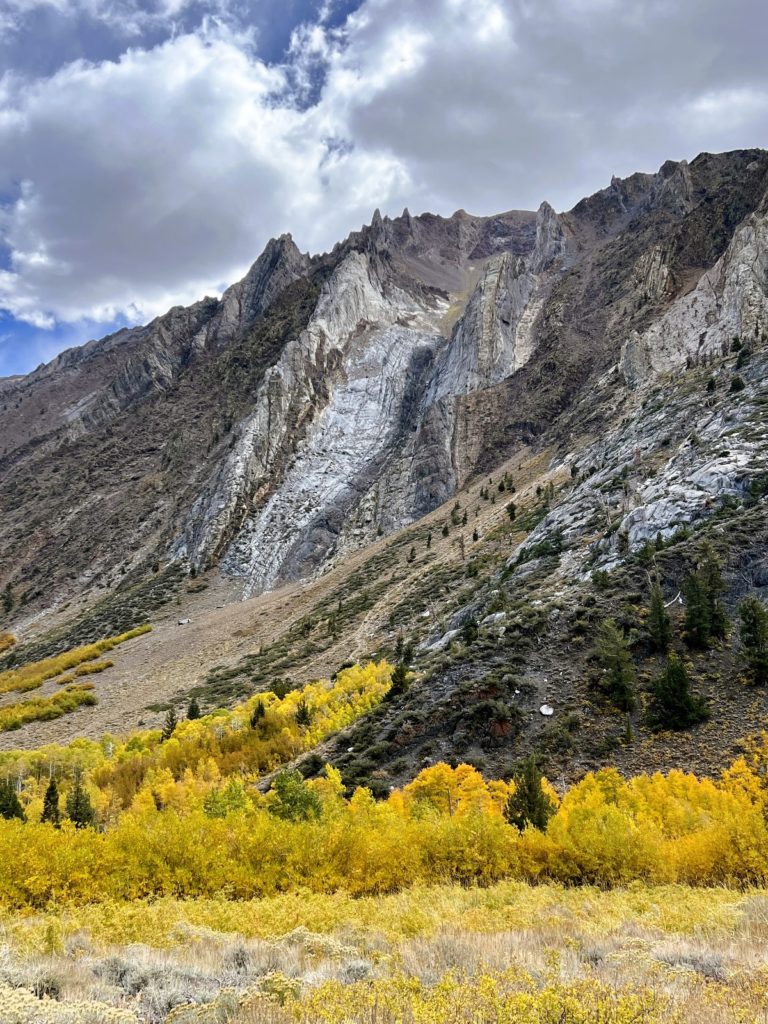
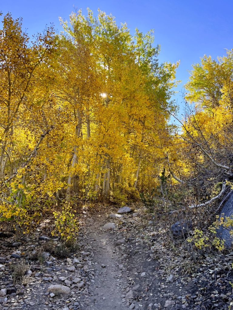
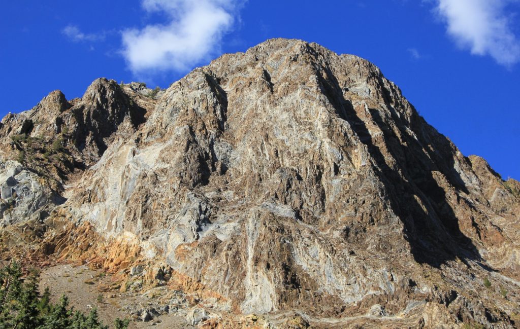
McGee Creek is located just off hwy 95 between Mammoth Lakes and Bishop to the southwest of Lake Crowley. It is considered an absolute must hike at peak color. The first mile of trail is relatively flat, aspen trees line the valley, and the already spectacular Sierra terrain is made even more spectacular by the formations and colors of the rugged peaks that flank both sides of the canyon.
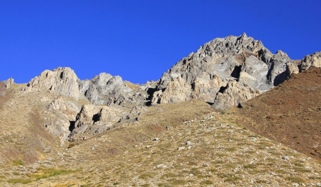
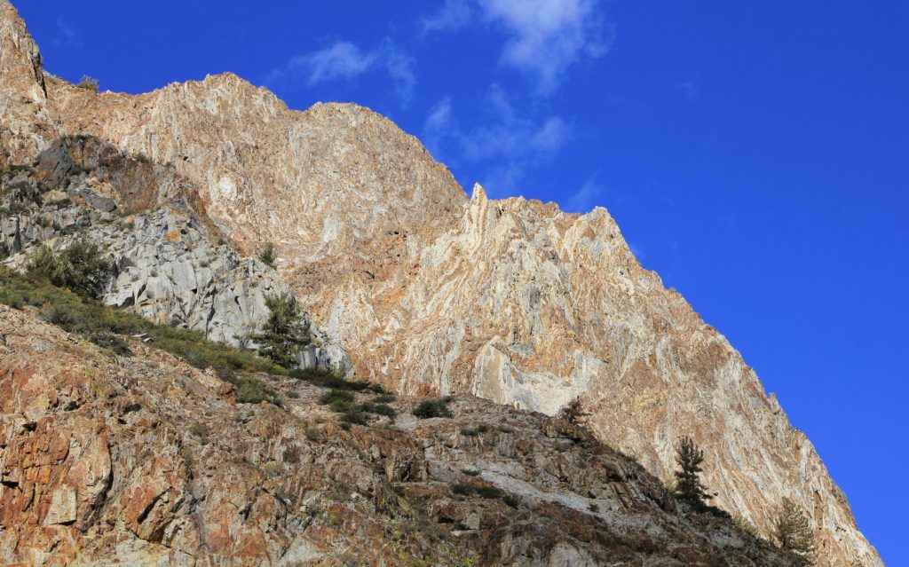
The hike begins just past the McGee Creek Pack Station at a small parking area. We arrived early and had no trouble finding a parking spot. Getting our big truck out of the parking lot later that afternoon was a different story. The lot was packed and people had parked anywhere they could squeeze in regardless of if they were in an actual parking spot or if they were blocking others in.
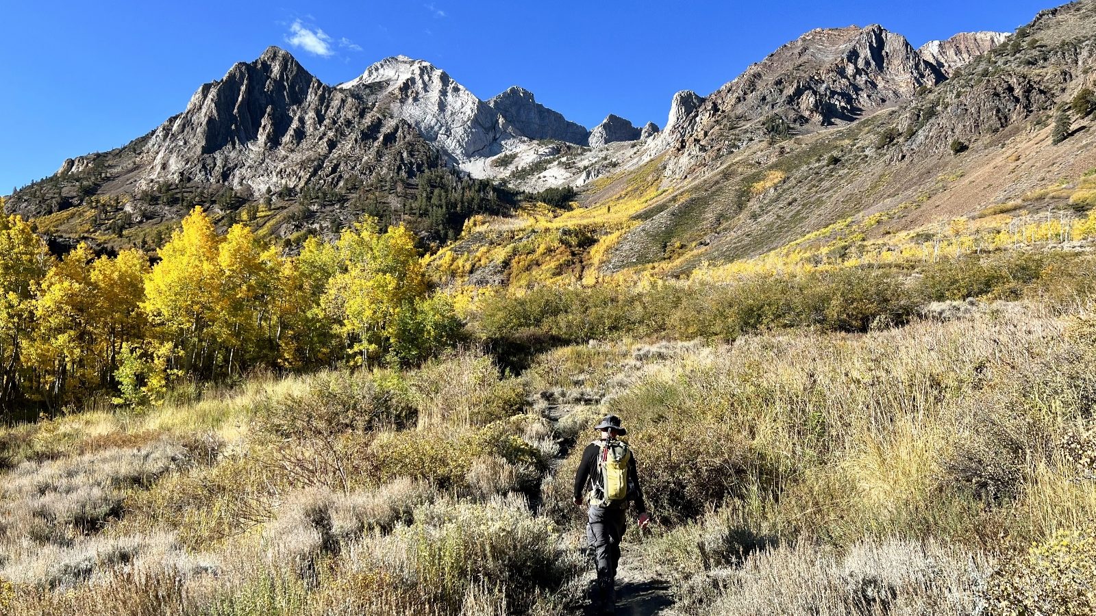
A handful of hikers and leaf peepers were hitting the trail as we began our hike. Fortunately, we lost the majority of the crowd in the first ten minutes. Most people left the trail early and headed down to the creek where they could view the yellow aspens up close with virtually no hiking. We continued up the canyon with stunning views ahead of the jagged, multicolored faces of Mount Aggie and Baldwin.
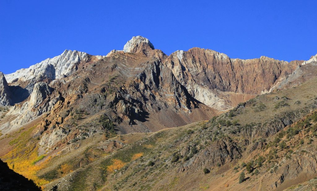
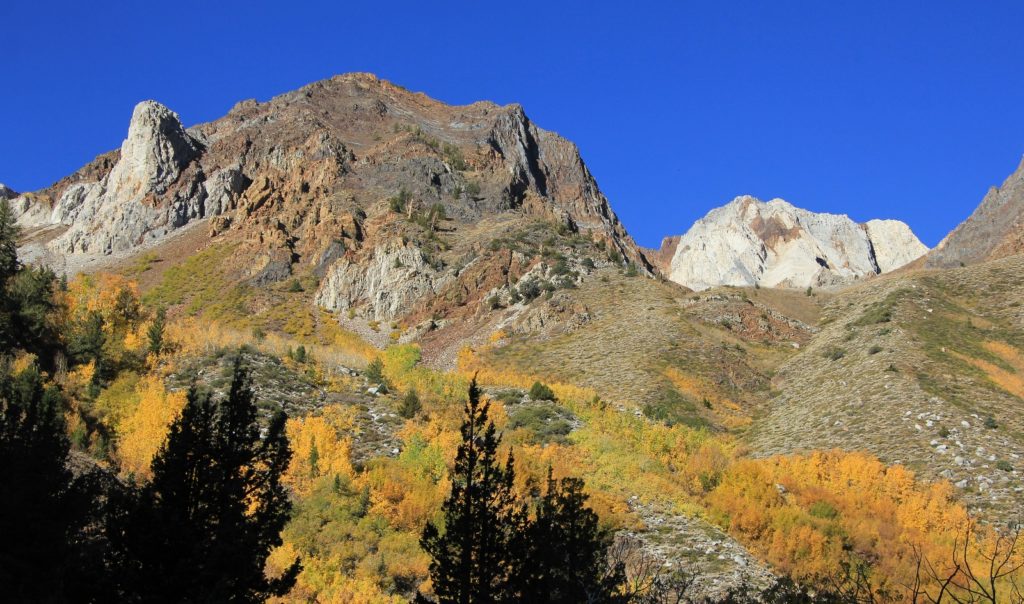
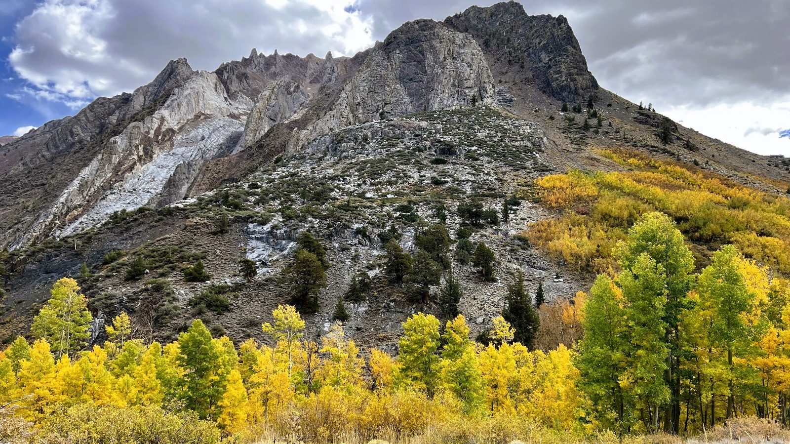
Crossing into the John Muir Wilderness around mile one was my favorite stretch of the trail. We had left most of the other hikers behind and the scenery was stunning with colorful aspens filling the canyon bottom and then sprawling up along every tributary creek. And with each step, those jagged mountain peaks ahead of us grew larger and larger until they towered directly over us.
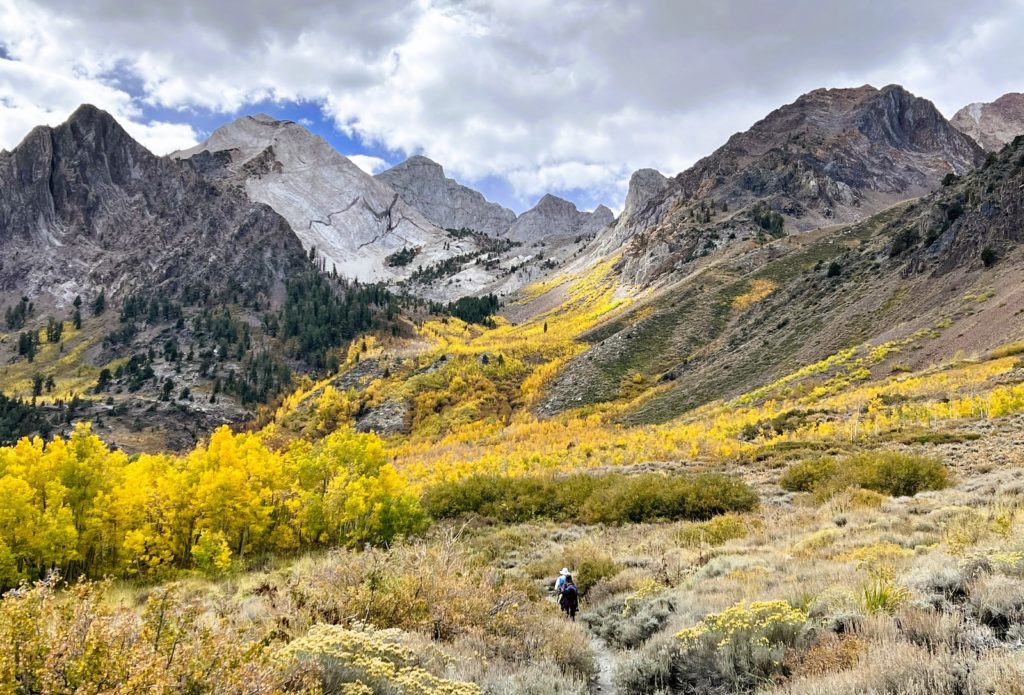
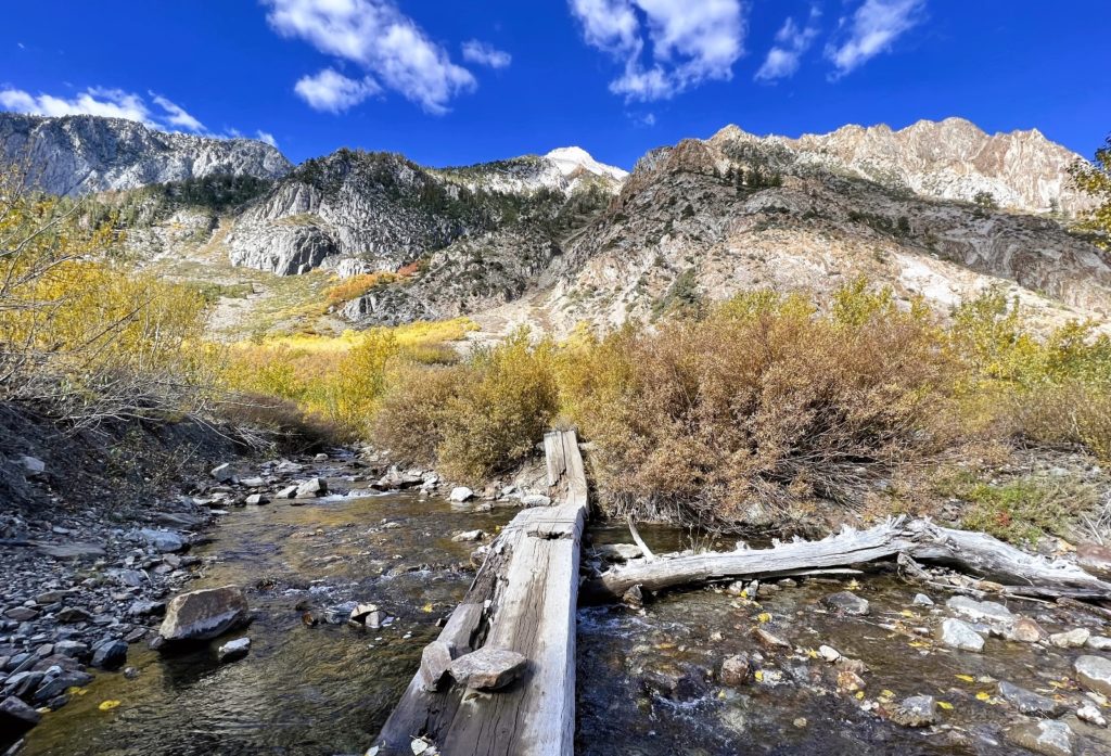
We continued our slow, but steady climb up the trail. Stops were frequent as I took one photo after another. At 2.8 miles we crossed McGee Creek on an awkward V-shaped bridge and continued until we reached a second bridge at 3.8 miles from the trailhead. We wanted to go further, but a big storm was expected to hit in a few hours and we had no desire to be out in that. By the time we returned to the truck, the storm was hitting with gusting winds and pouring rain. We had hit McGee’s peak colors just in time.
Duck Pass & Lake
Above the resort town of Mammoth Lakes lies Mammoth Lakes Basin, a popular area for fishing, boating, camping and hiking. Paved roads lead tourists to the shores of lakes Mary, Twin, George, and Horseshoe. A multitude of hikes start from these lakes. We chose the Duck Pass Trail which starts behind the Coldwater Campground at Lake Mary.
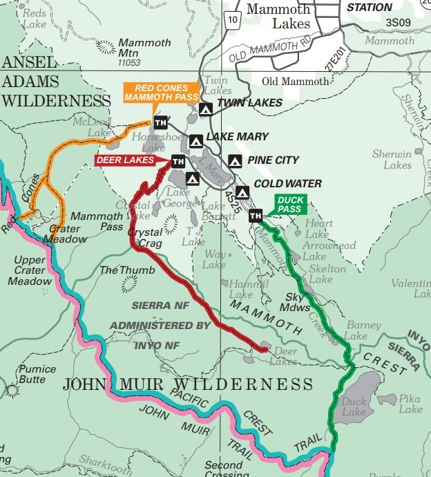
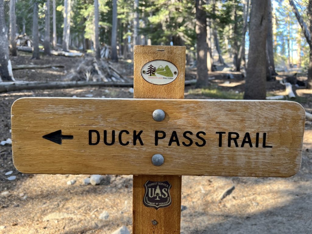
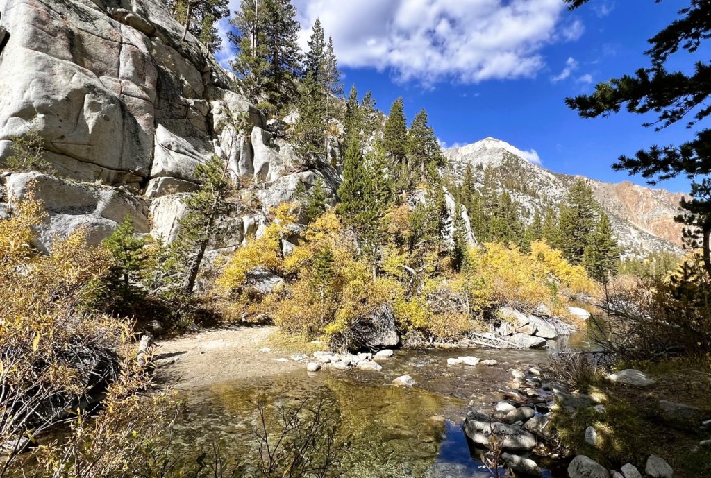
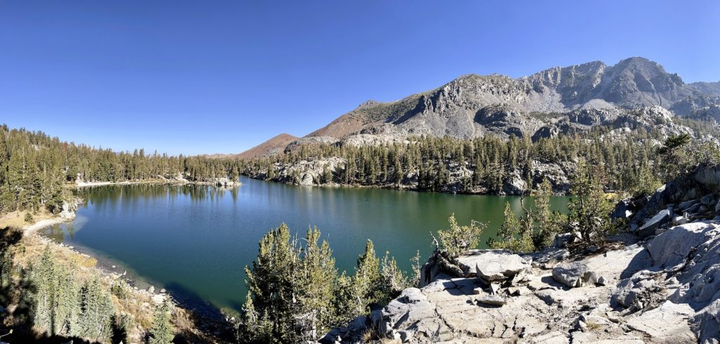
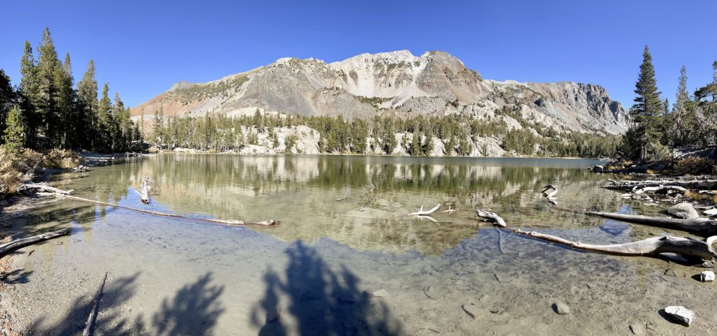
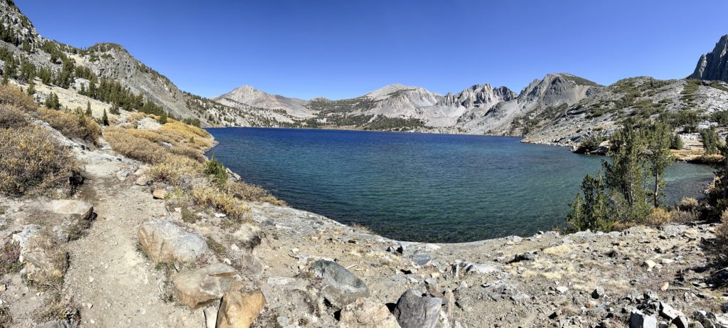
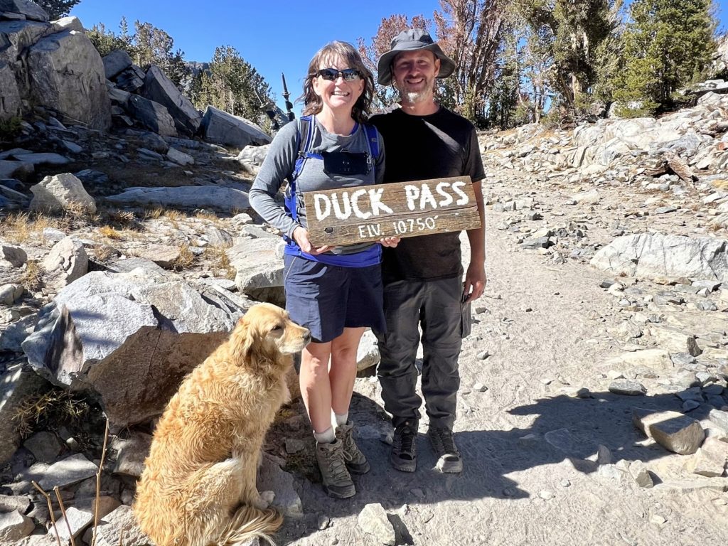
The Duck Pass trail is a relatively strenuous hike with steady climb over most of its length. Much of the trail is through the forest with little for views, but we did pass beautiful Arrowhead, Skelton, and Barney lakes. Of the three, Skelton was my favorite and Barney made a great spot for a rest before making the final ascent up and over Duck Pass. Most hikers we saw hiked to a viewpoint just past Duck Pass where they enjoyed exceptional views of Duck Lake. This makes for about an eight mile hike. We were so impressed with the size and beauty of Duck Lake that we continued along a social trail to the outlet. This added a few extra miles putting us at 11 miles with 2,300′ elevation gain for the day.
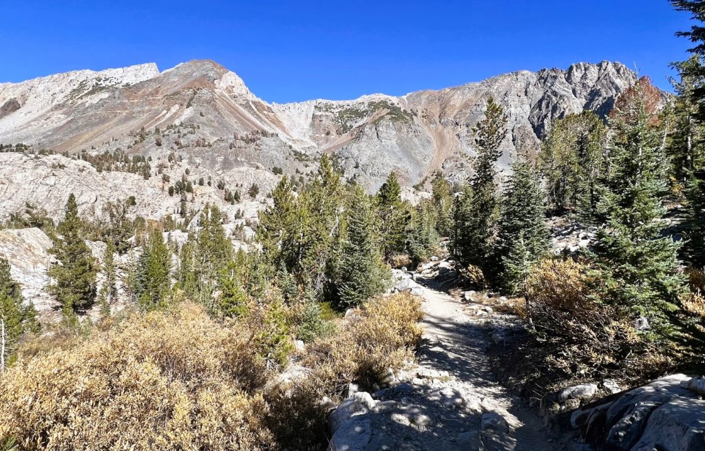
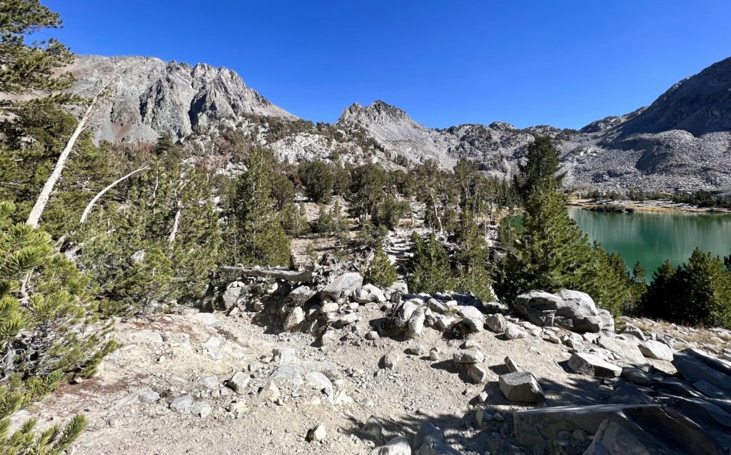
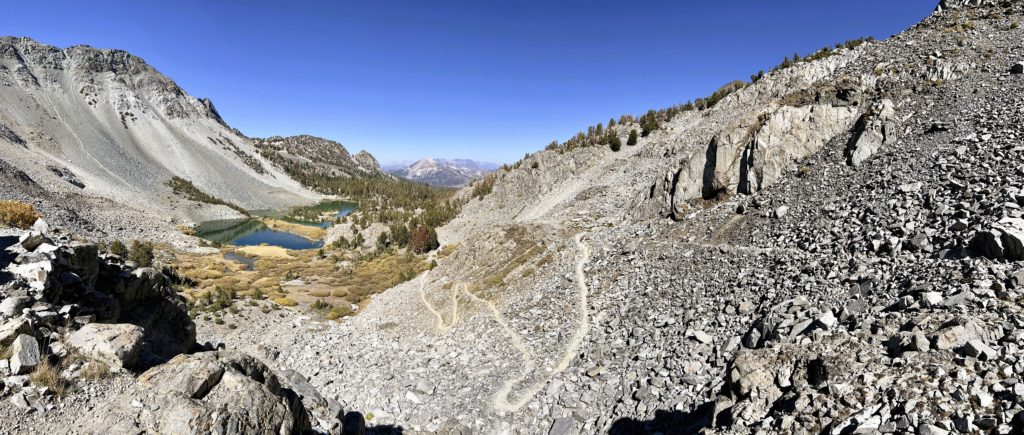
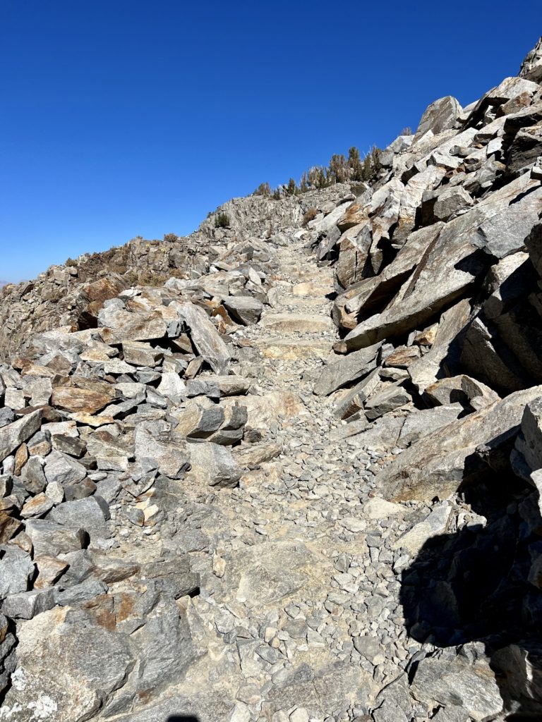
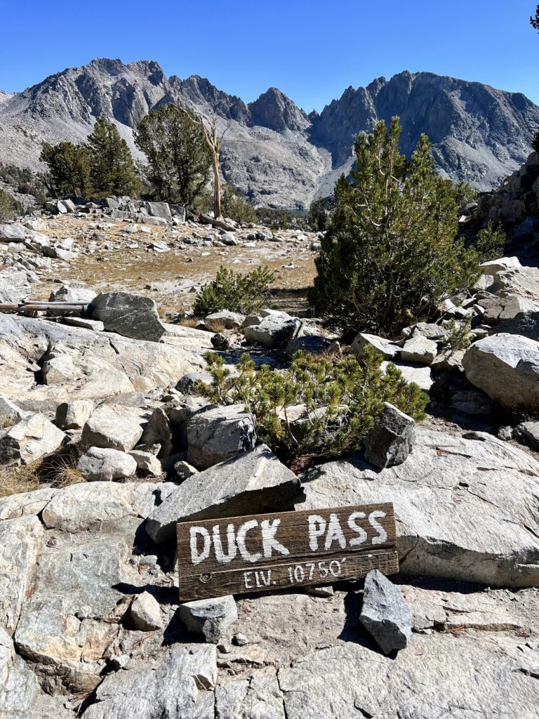
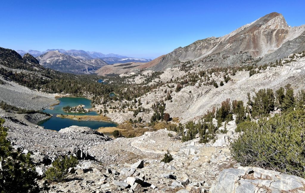
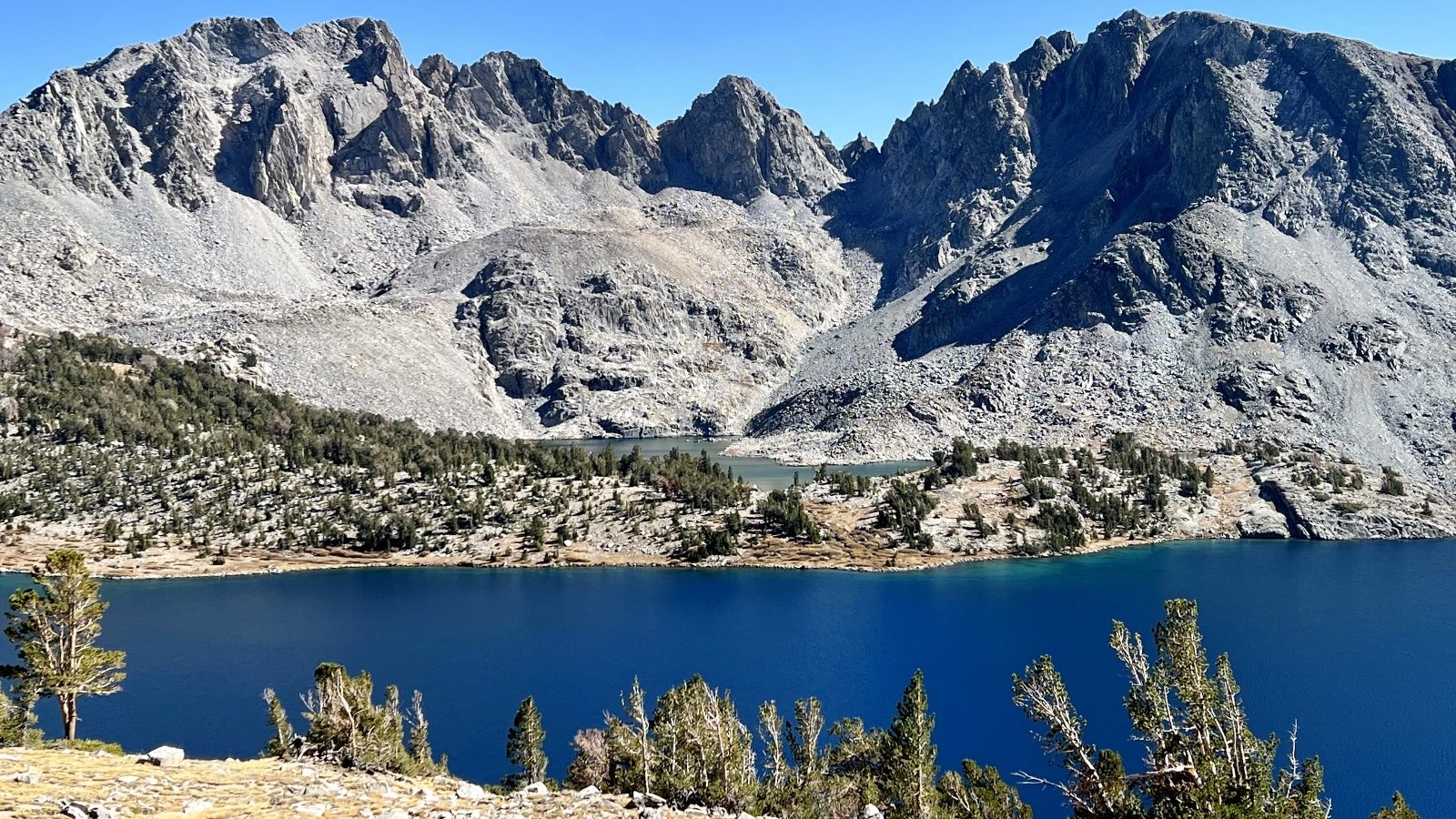
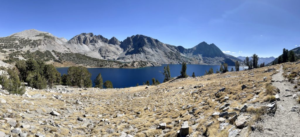
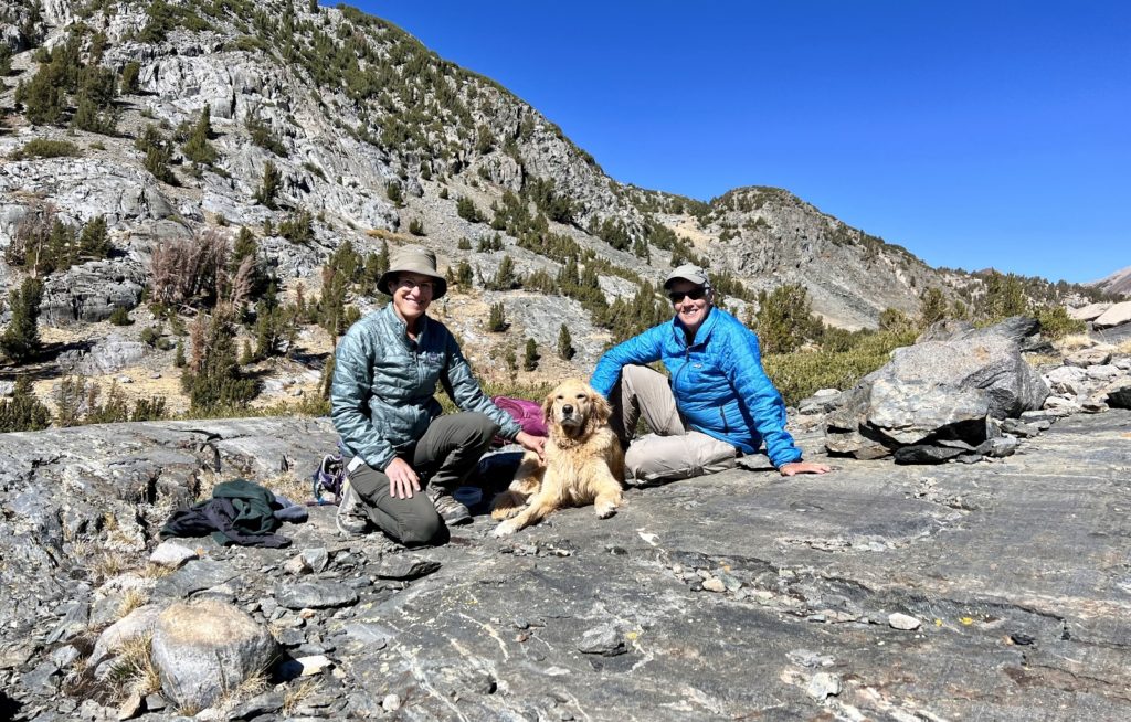
The highlight of our day was meeting hikers Cindy and Sherry and their golden retriever Dakota. We took turns passing each other and exchanging pleasantries during the hike up to Barney Lake. By Duck Pass we joined together for the hike to the outlet of Duck Lake where we enjoyed a snack break and exchanging travel info. They, too, were RVing and hiking their way along the Eastern Sierras. We shared contact info and would end up camping and hiking together the following week. It is always a great day on the trail when you complete a challenging hike and meet new friends!
The Adventure Continues
Join us for our next post as we continue our adventures in the John Muir Wilderness. And don’t forget to check out our Amazon RV and Adventure Gear recommendations. We only post products that we use and that meet the Evans Outdoor Adventures seal of approval. By accessing Amazon through our links and making any purchase (even things as simple as toothpaste!), you get Amazon’s every day low pricing and they share a little with us. This helps us maintain this website and is much appreciated!
Gorgeous!