A lovely early season hike in a lonely part of NE Oregon.
Distance: 6.25 miles round trip for us on this day (12 miles round trip to Swamp Creek)
Type: out and back
Difficulty: moderate with 800′ loss over rocky trail for the first mile, then easy
Best season: May – October
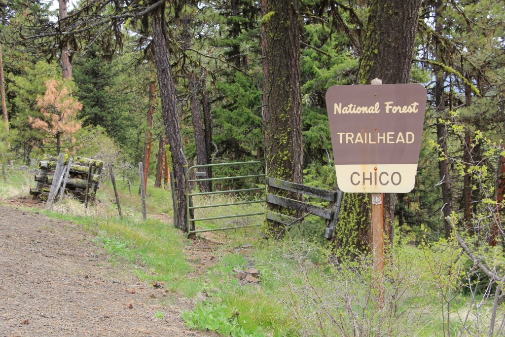
May is still early season in the Pacific Northwest. Snow persists in the mountains and we are forced to remain content with lower elevation hikes despite desires to the contrary. Jason had been eyeing up the Chico Trail in NE Oregon for some time, so we headed across the border.
We made the drive from our SE Washington home through the small towns of Asotin and Anatone, down Rattlesnake Grade, across the Grande Ronde River and up into Oregon. We found only one other vehicle at the trailhead when we arrived. We had mostly cloudy conditions with temperatures in the 50s. Conditions were cloudy enough that I knew we wouldn’t get the great views of Idaho’s Seven Devils and Oregon’s Wallowa Mountains that we had been promised, but the hiking conditions were very comfortable.
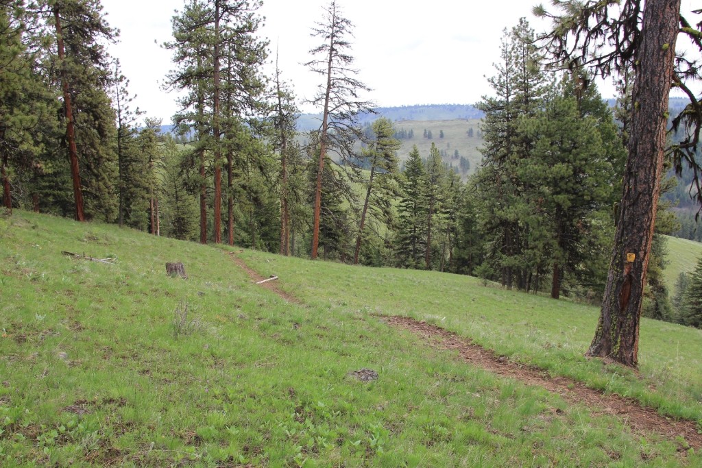
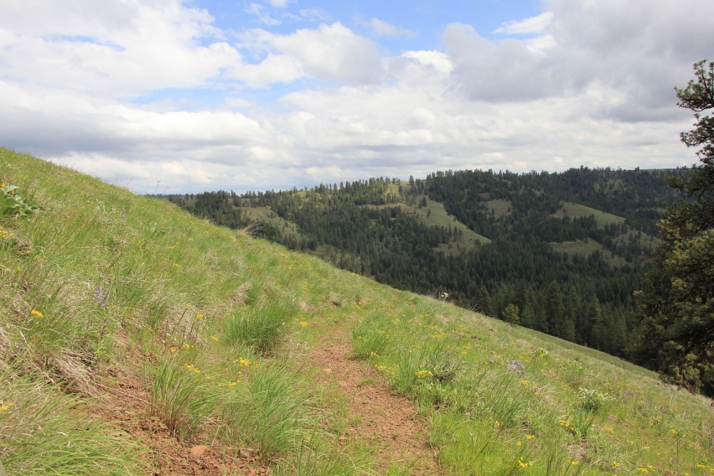
 The Chico (trail #1658) descends at a steady pace into the Davis Creek Drainage, dropping 800’ in one mile. The trail is rocky, so we took it slow going down. Wildflowers were everywhere, especially on the upper portions of the trail.
Once on Davis Creek, we turned onto trail #1660 and hiked a couple miles downstream on a nice easy trail. Davis is a nice little stream and the forest seemed very healthy with ponderosa and lodgepole pine and Douglas fir. We only saw one other couple on the trail.
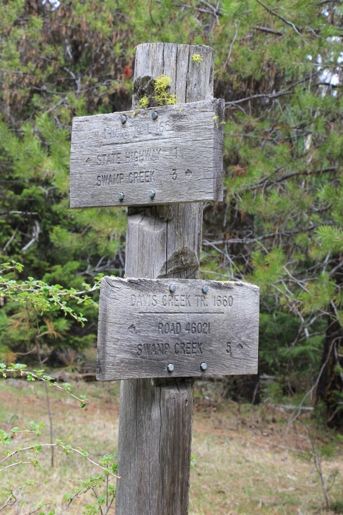
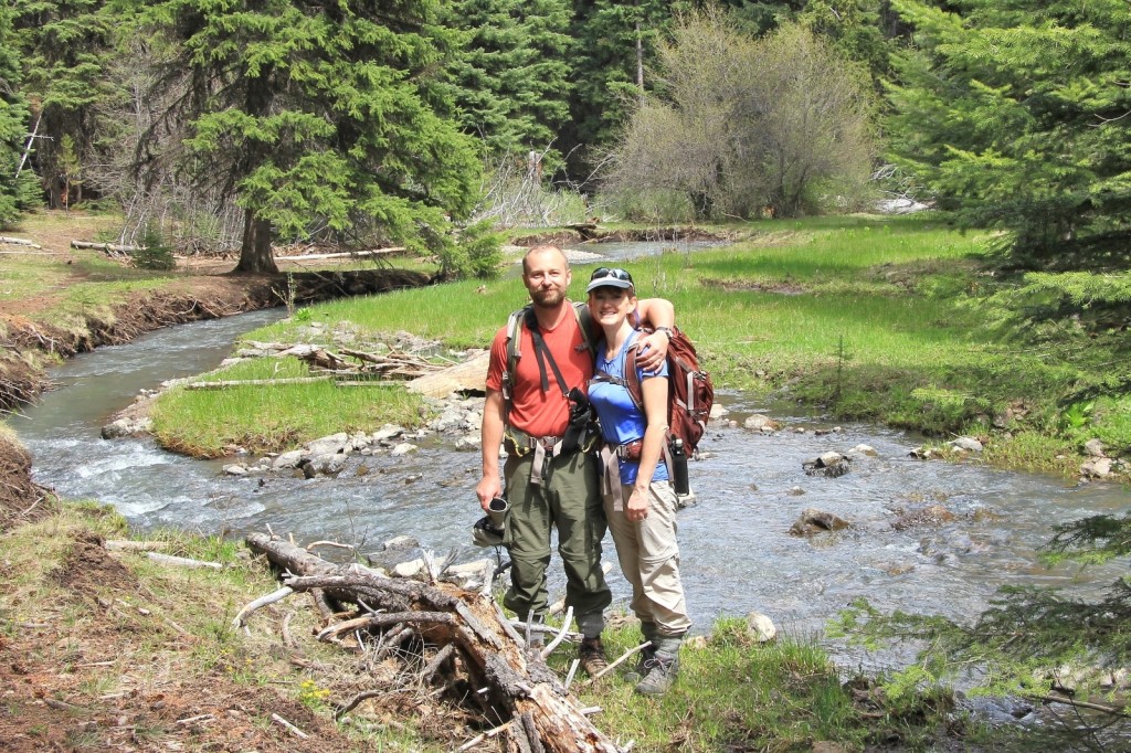
This was a short day for us so we only hiked a little over 6 miles round trip. Those wishing to go to Davis Creek’s junction with Swamp Creek would be looking at a 12 mile round trip hike from the trailhead.

 From Enterprise, Oregon: Drive north on OR-3 approximately 20 miles. Turn right onto the dirt road between mileposts 22 and 23 (almost directly across from where Rd 3035 turns off to the left). Follow this road a short distance to the well-marked Chico Trailhead.