Rugged coastline, secluded beaches, natural bridges, and uncrowded trails on the southern Oregon Coast
Distance: 8.75 miles as described below (longer and shorter hikes available)
Type: out and back or shuttle
Difficulty: generally easy (beware of poison oak!)
Best season: all year
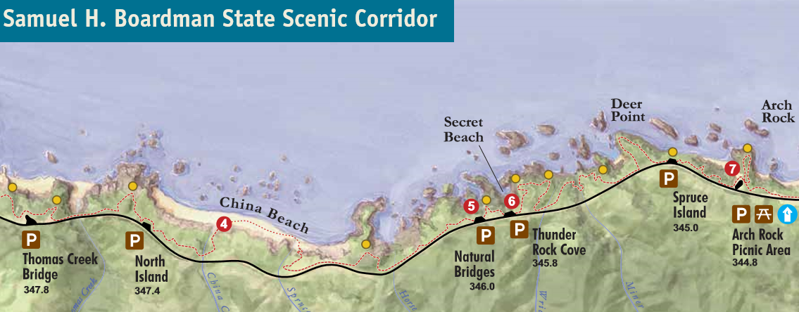
Eighteen miles of the Oregon Coast Trail trail await the eager hiker at Samual H. Boardman State Scenic Corridor (click here for brochure). Don’t feel like hiking all eighteen miles? No problem—numerous viewpoints and short trail options exist. We spent two days exploring the area just north of Brooking, Oregon near the OR-CA border. The rugged coastline views and secluded beaches were the highlight of our vacation.
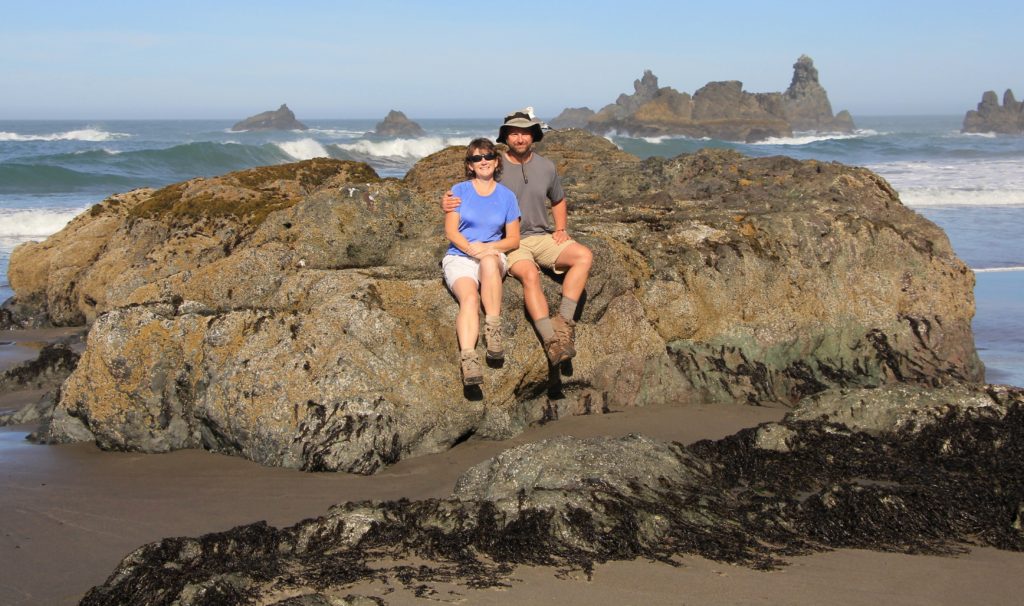
Boardman looked interesting enough that we allotted two days for exploring the area. Our first day was dedicated to the northern half of the corridor from Arch Rock south to Thomas Creek Bridge. We started by parking at the North Island Viewpoint, the first signed pullout north of Thomas Creek Bridge, tallest bridge in Oregon. We were the only car parked here and we wouldn’t see anyone else on this first hike.
The Oregon Coast Trail left out of the south end of the parking lot and quickly split. We took the trail to the left which lead through dense forest and down a moderately steep draw to a couple of beautiful viewpoints. At the second viewpoint Jason exclaimed, “this is the most beautiful sight yet!”
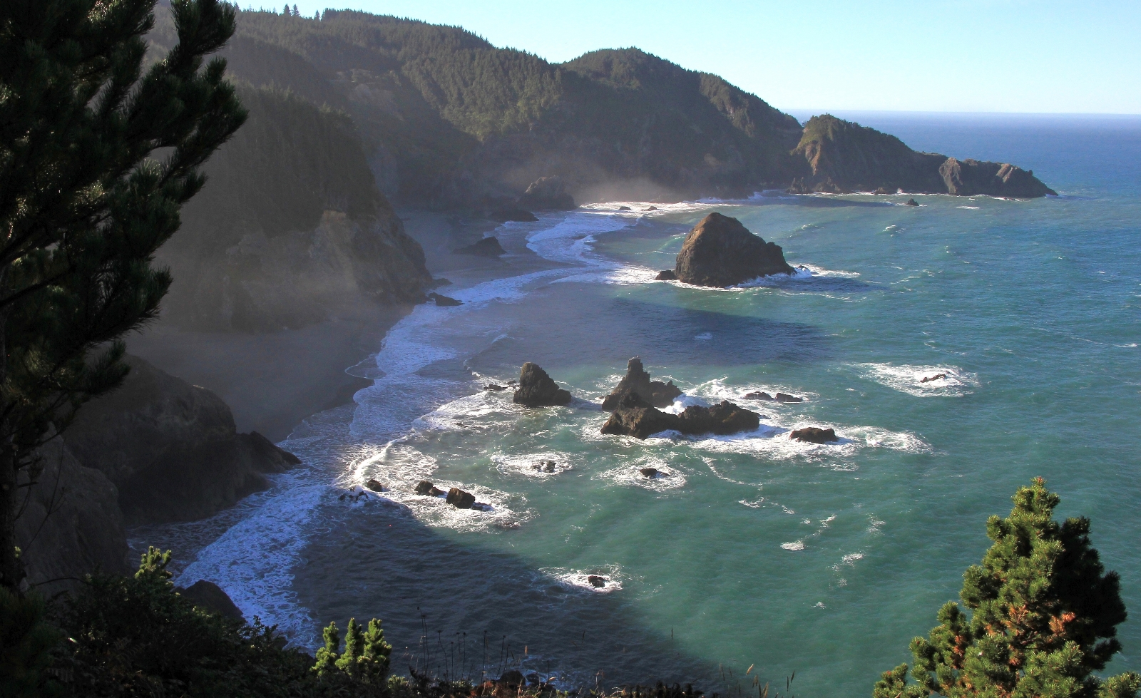
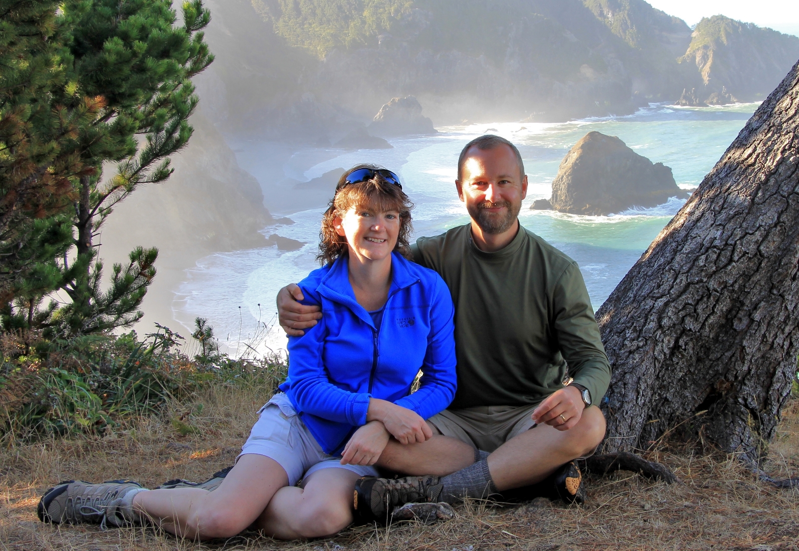
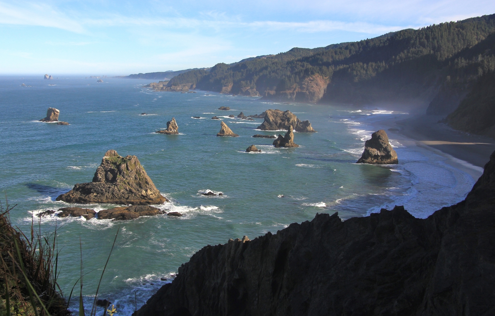
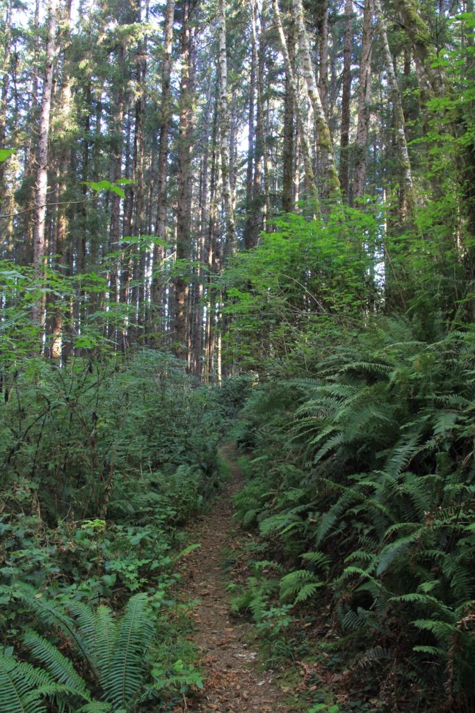
We returned to the trail split near the parking lot and continued north along the Coast Trail. We paralleled just under the highway for a bit before heading downhill in thick forest. We continued on, dropping and climbing through the forest—sometimes through lush areas, other times through areas where the tree branches were bare and the ground had no vegetation at all. It was a bit of a weird mix. Eventually, we began to drop through a moderately steep draw where we bottomed out on beautiful China Beach.
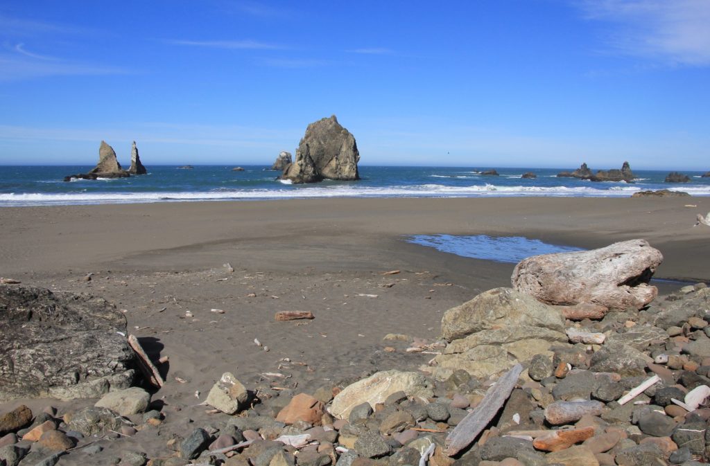
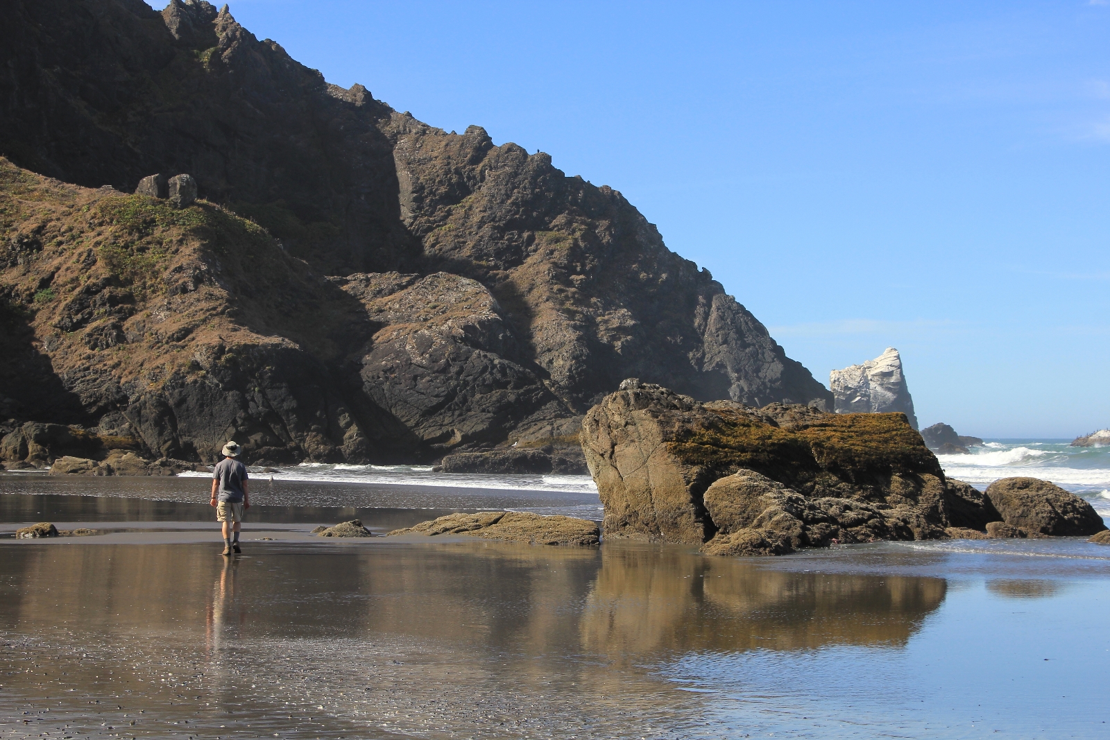
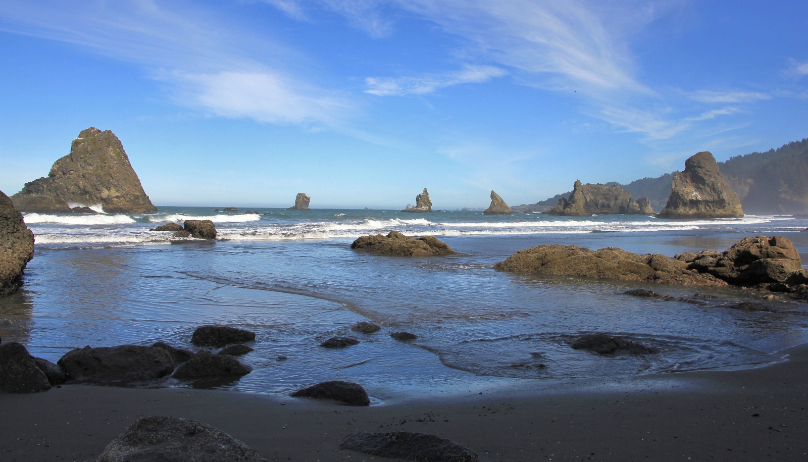
We reached China Beach ten minutes before low tide, perfect timing since you can only access the northern section of the beach when the tide is out. There was no one else at the beach and the bright morning sun was shining through a light layer of coastal mist, creating a peaceful mood. We started by walking the northern half of the beach. The sea stacks along the beach were beautiful, their shapes changing depending on our angle.
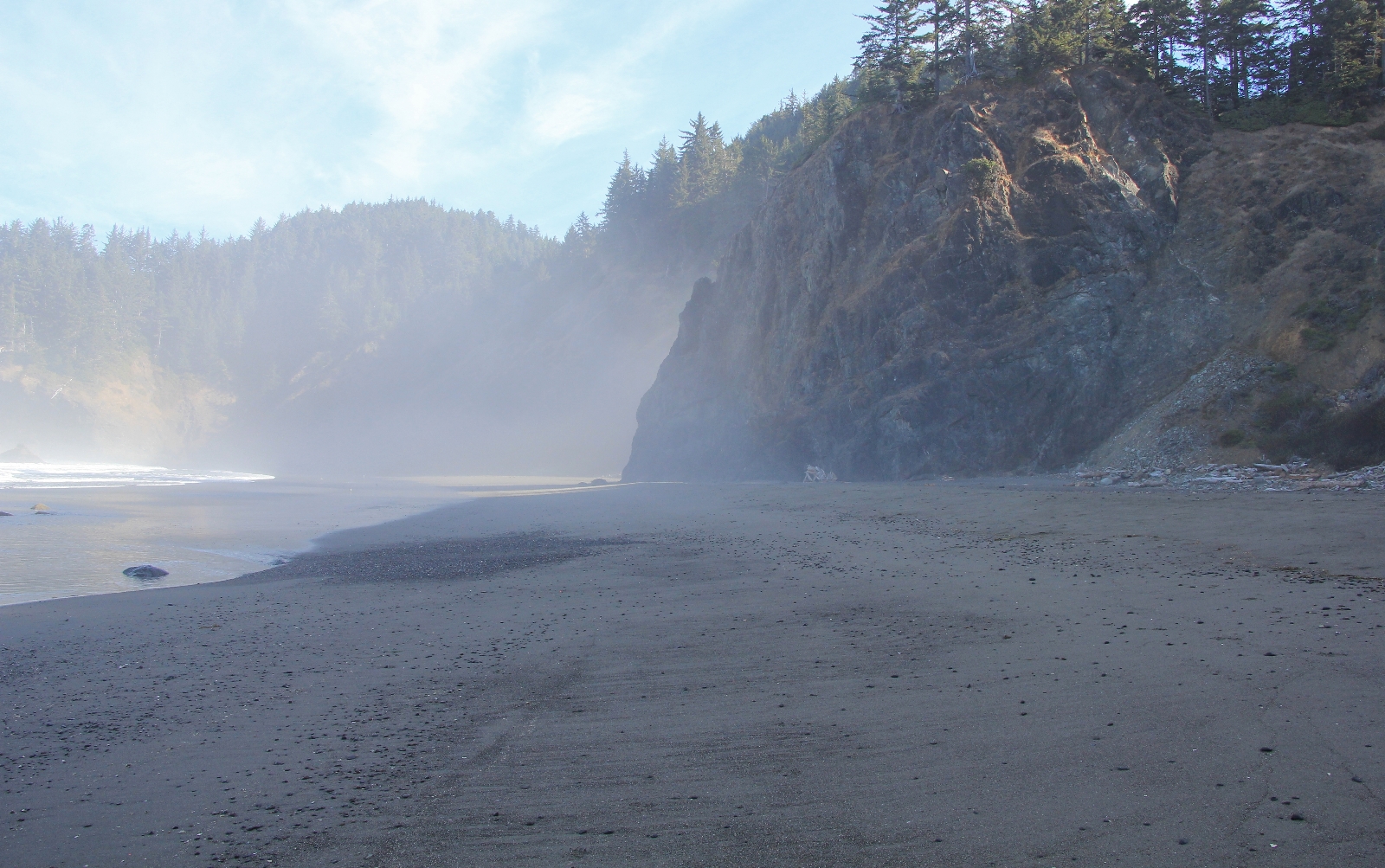
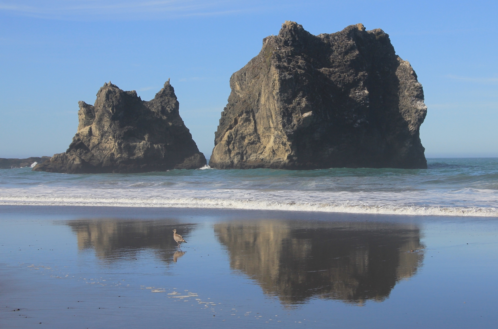
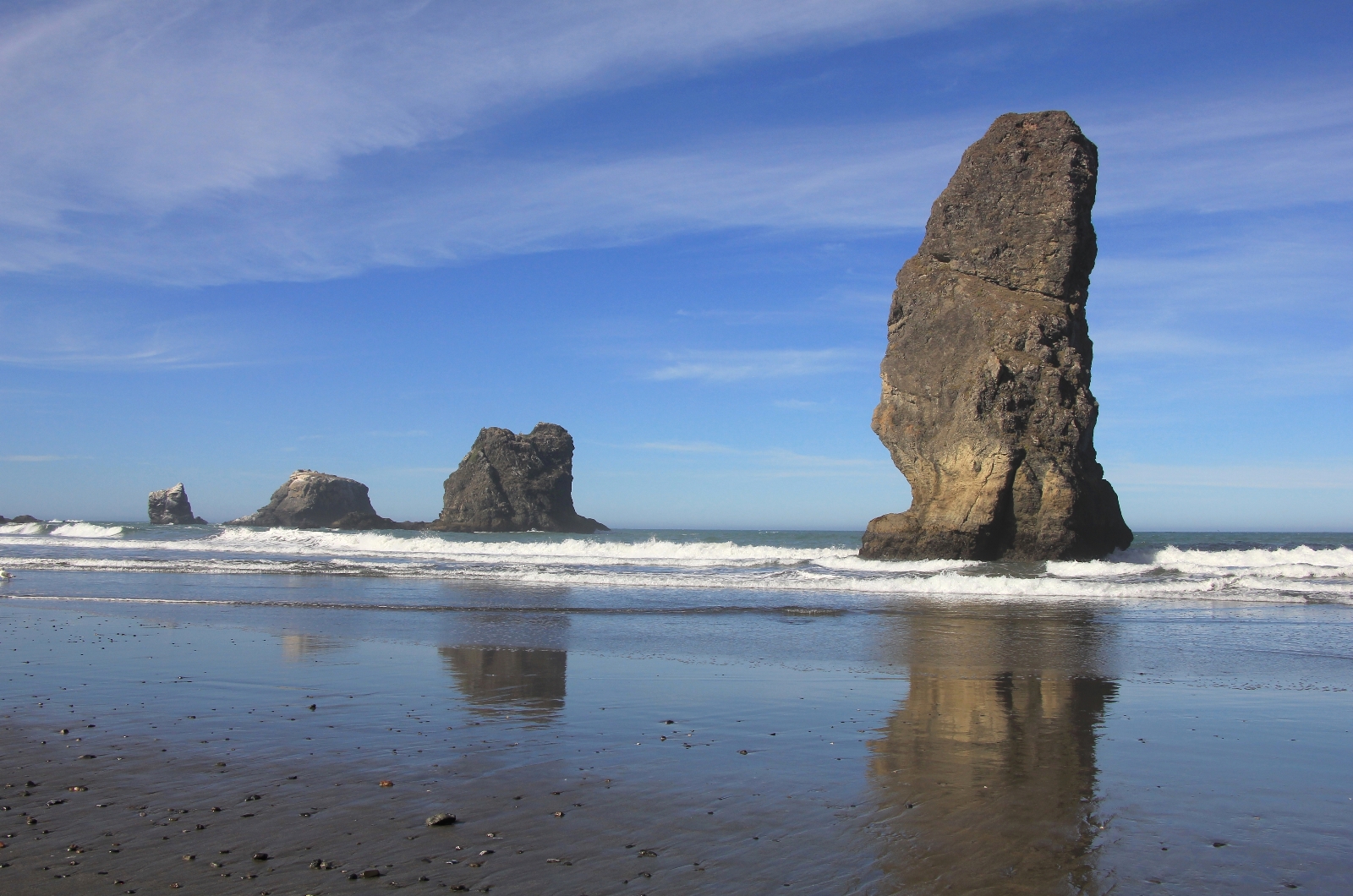
Reaching the northern end of the beach, we retraced our steps and walked to the southern end of the beach. The seastacks and coastline were most interesting at the southern end, but the entire location was as beautiful as I’ve seen on the coast. And it was the first time we’ve had a pristine coastal beach all to ourselves.
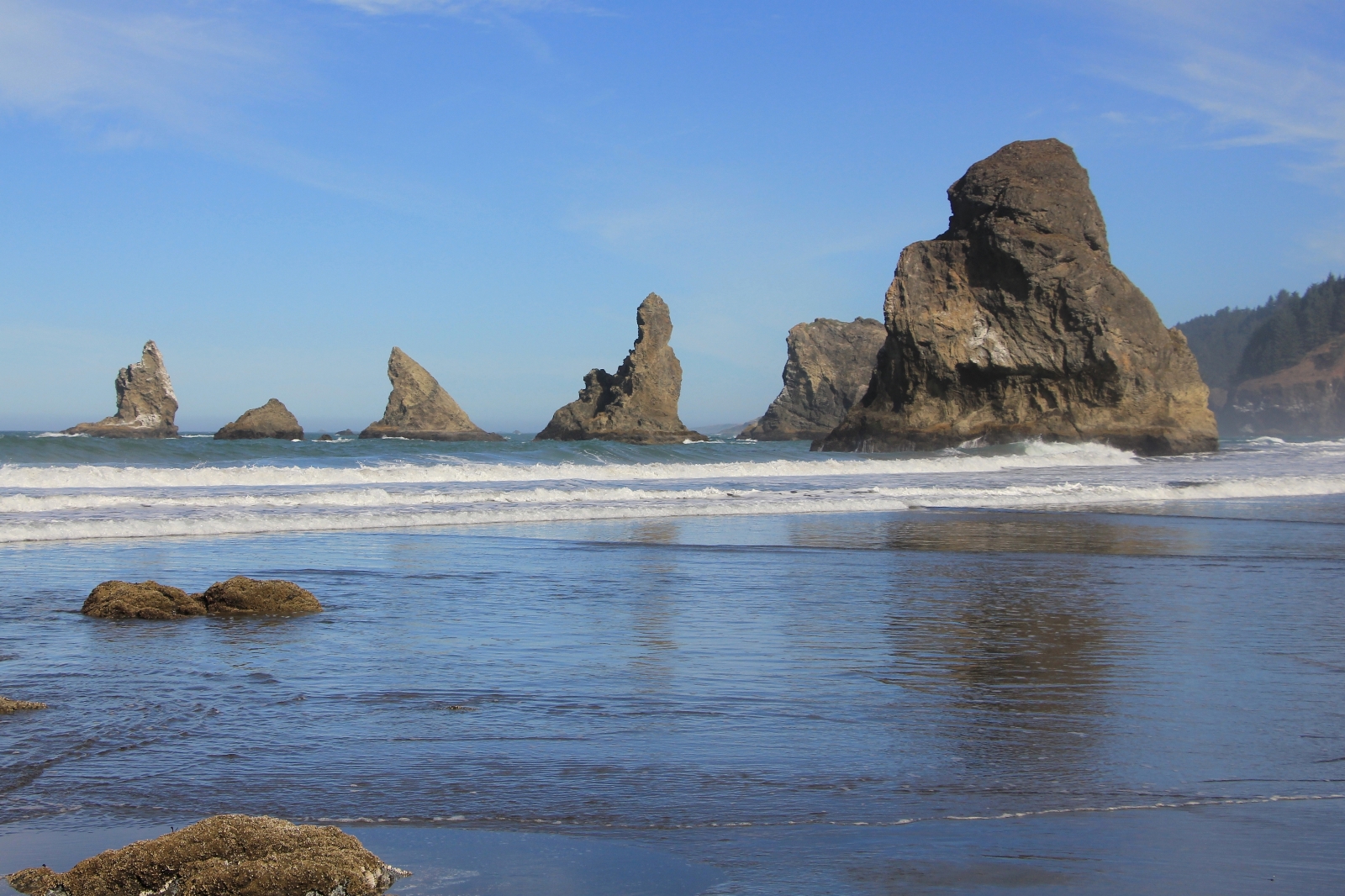
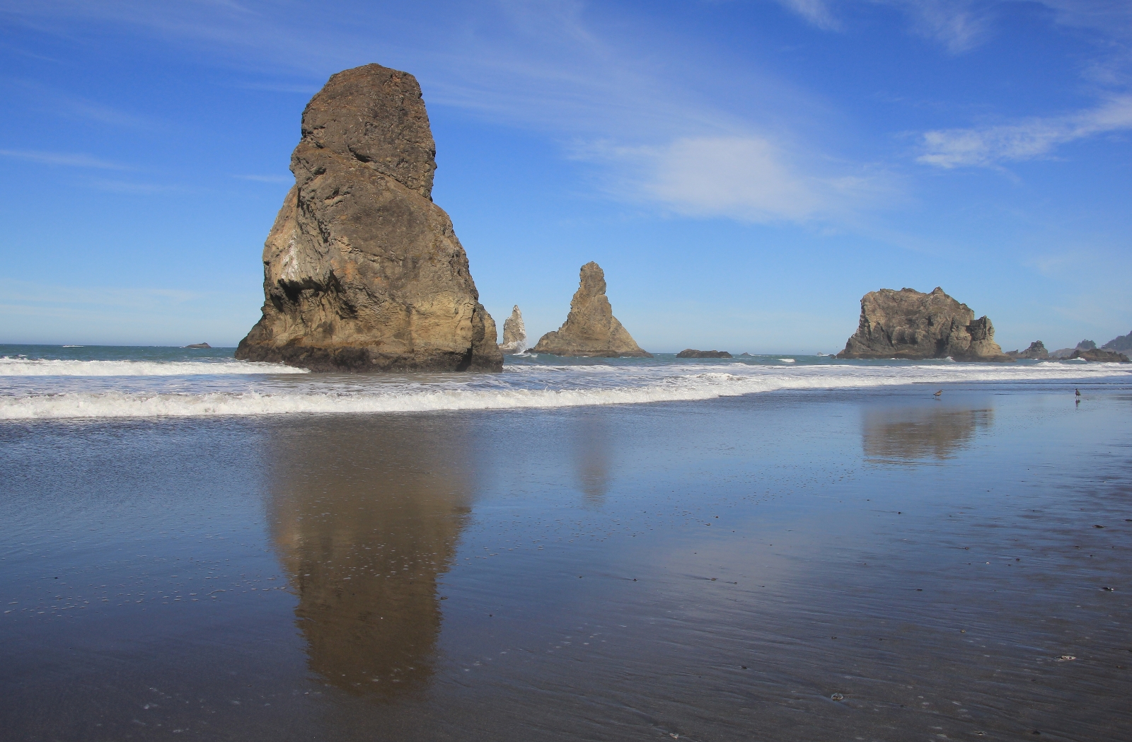
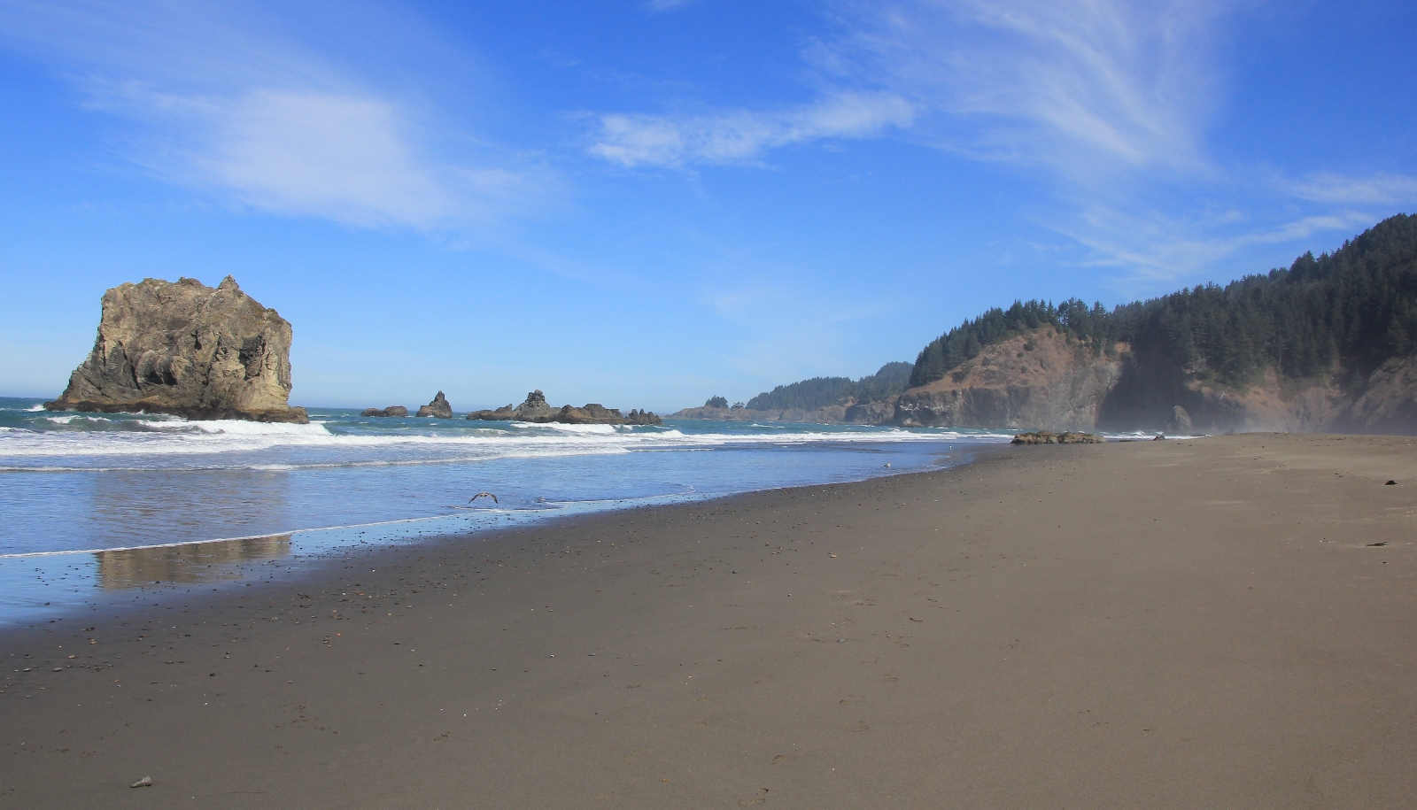
After returning to the car, we drove north up highway 101 to the pullout for Natural Bridges Viewpoint. We began by taking the south bound trail out of the parking lot. Here we found a couple nice viewpoints of a natural bridge, the best being from a footbridge bridge a short distance down from the parking lot.
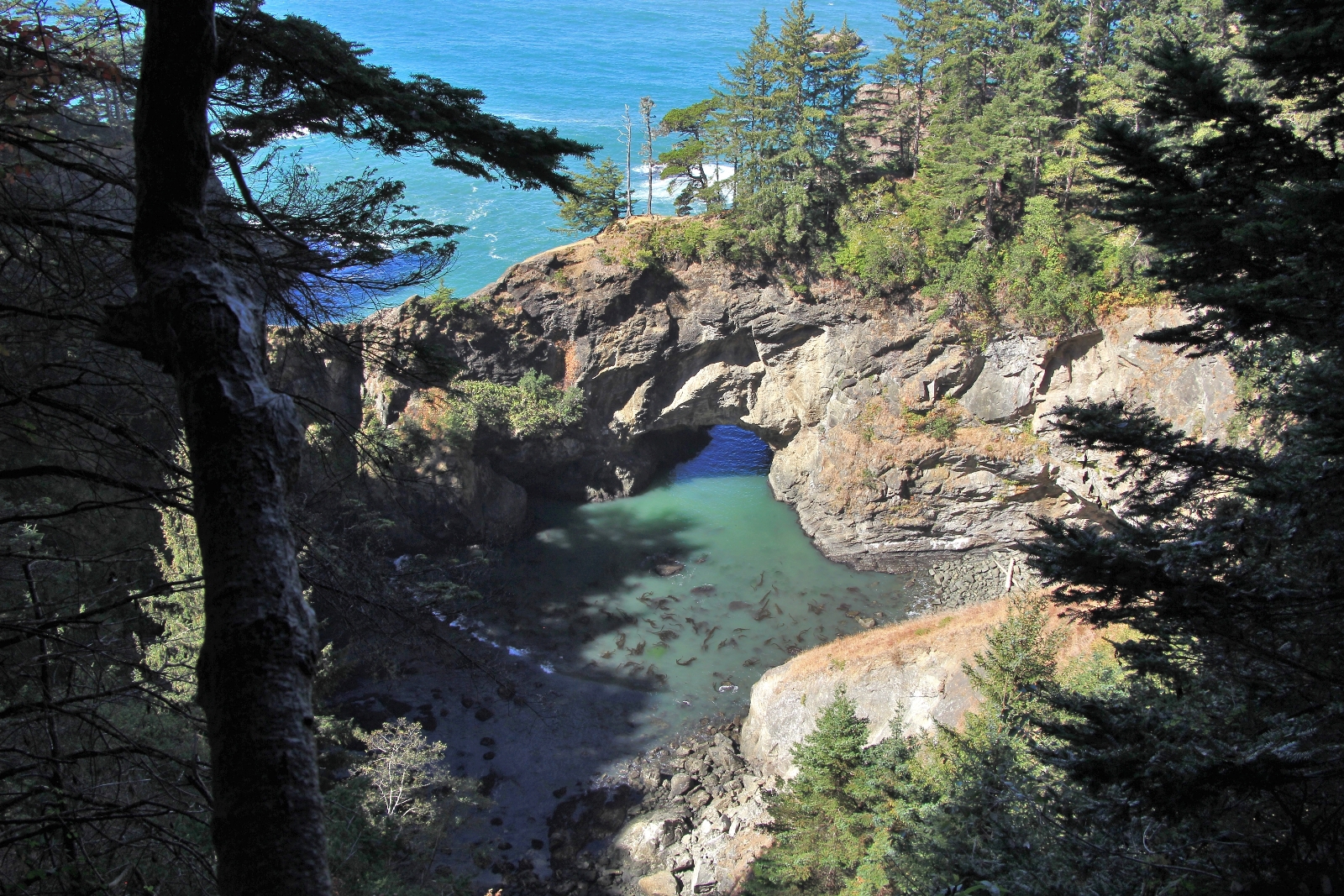
We then retraced our steps and headed north out of the parking lot. A couple of unofficial spur trails took us to cliffs overlooking the ocean. Here we found spectacular views and another natural bridge.
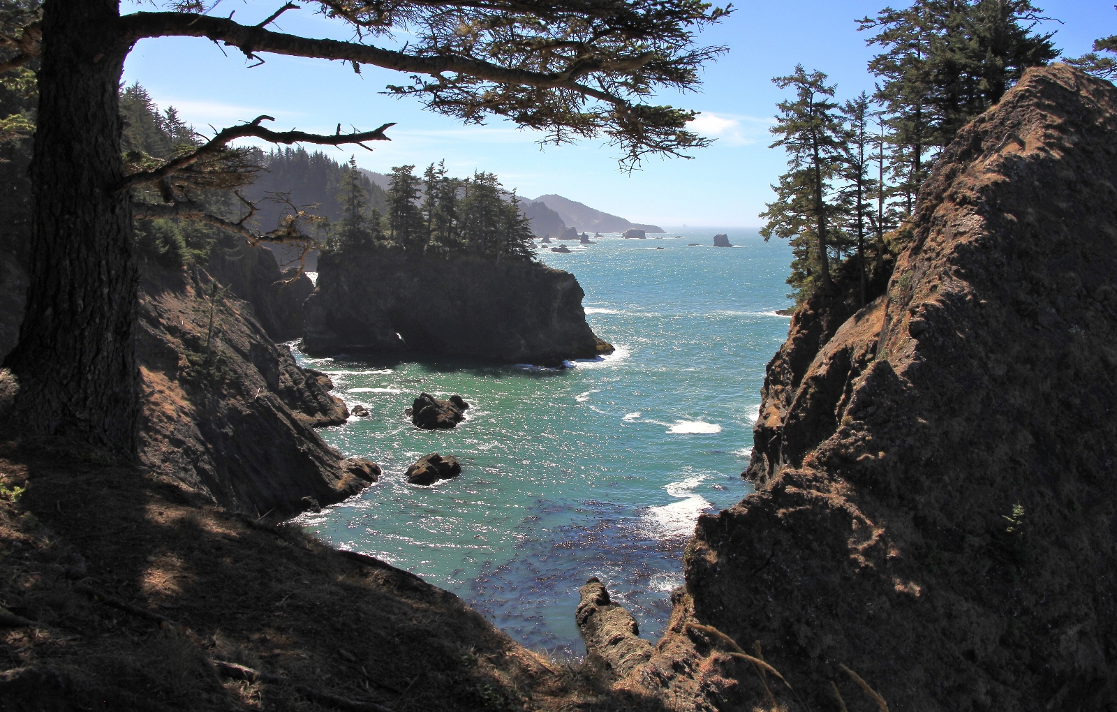
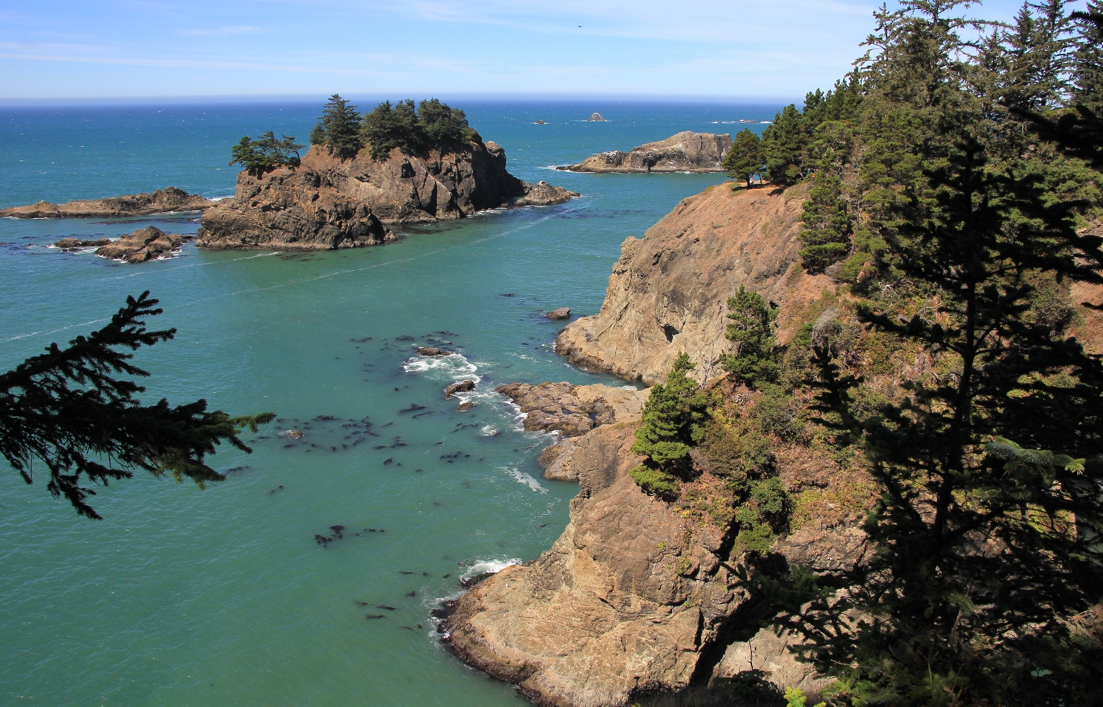
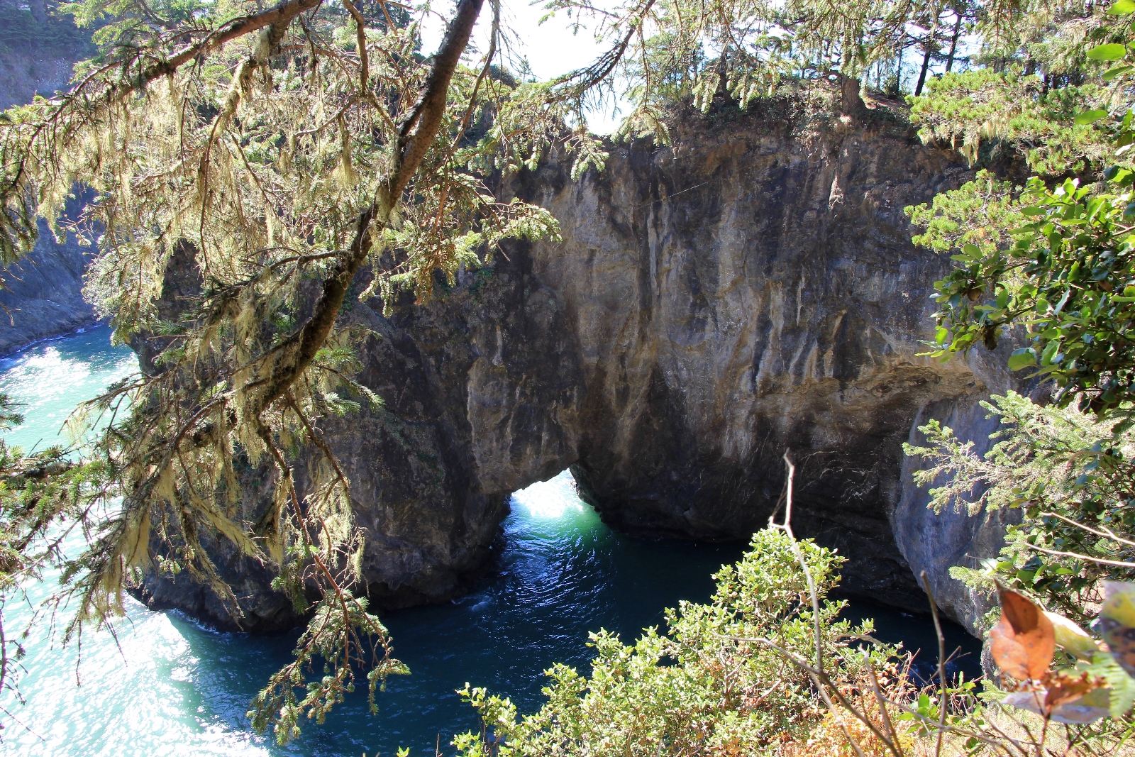
Back on the main trail, we continued north, crossed the parking area for Thunder Rock Cove, and soon came to a split. To the right was marked for “Secret Beach” and to the left “loop”. We followed to the left and soon found ourselves out on another spur trail with rugged coastal views.
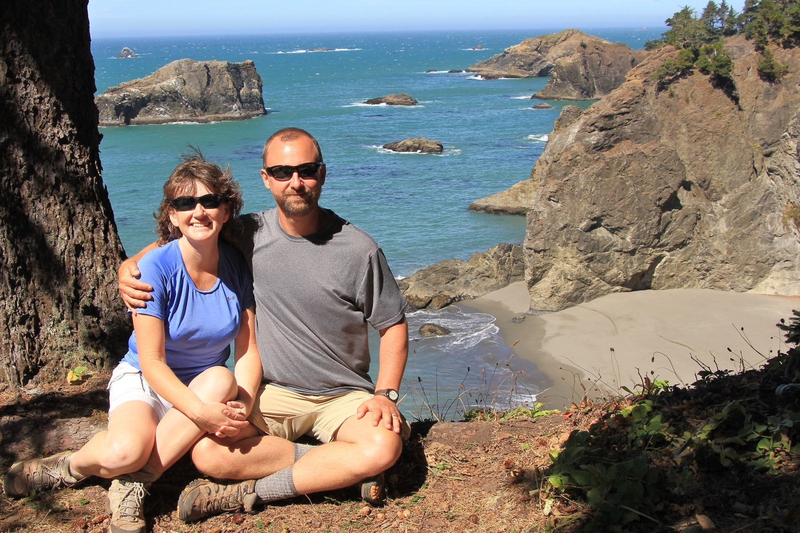
To finish the day, we drove to the Spruce Island Viewpoint and hiked a short section of the Coast Trail up to Arch Rock. Here we found signs warning of poison oak. Sure enough, right under the sign was poison oak.
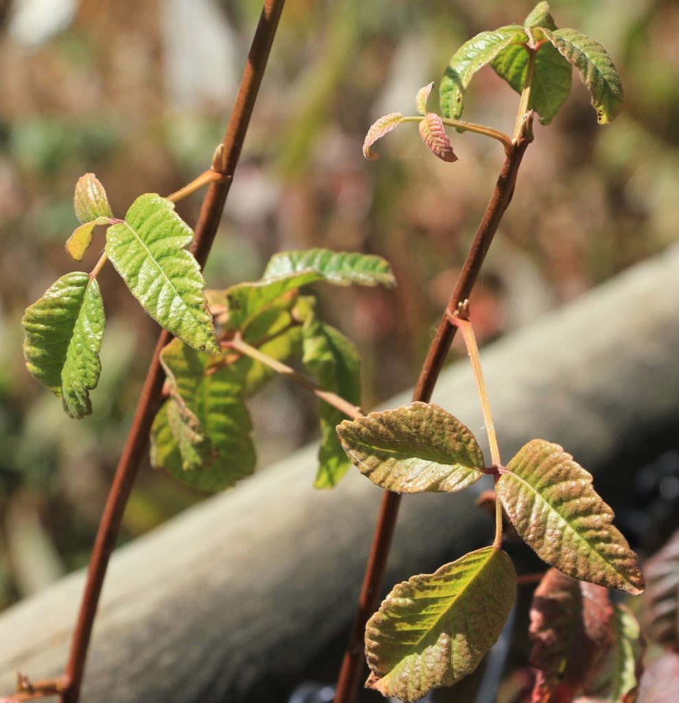
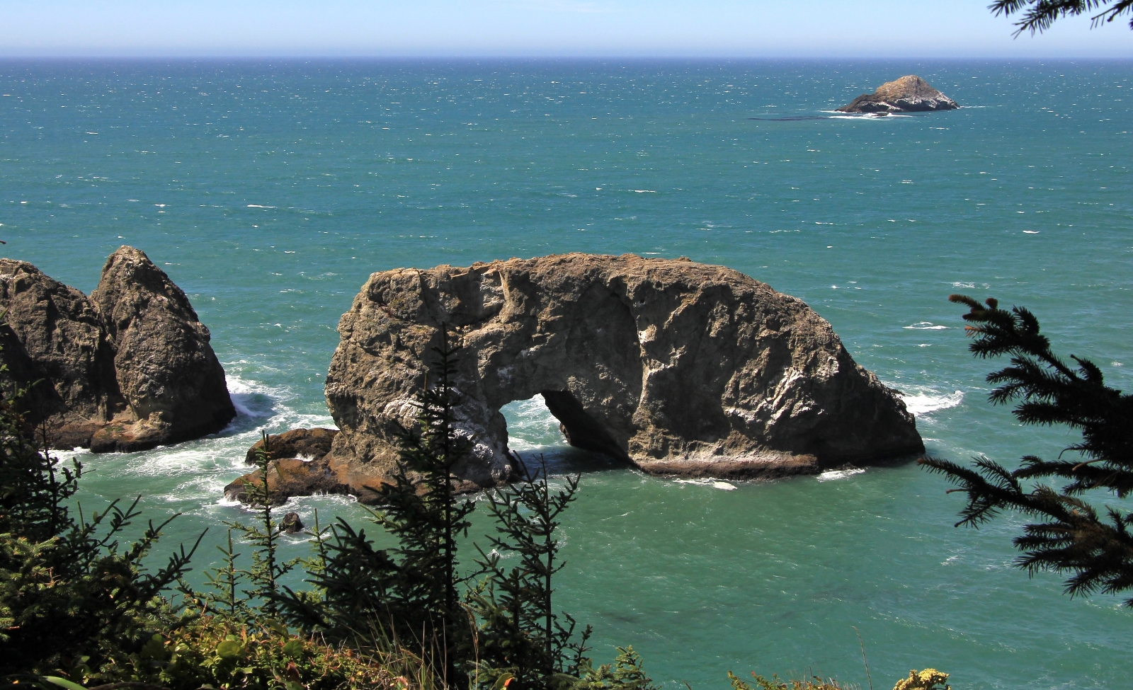
We were super impressed with our first day at Boardman. The views and beaches were beautiful and we had only seem maybe a dozen people all day—mostly at the viewpoints. I was glad we’d allowed two days to explore the area and was looking forward to the following day hiking the southern trails.
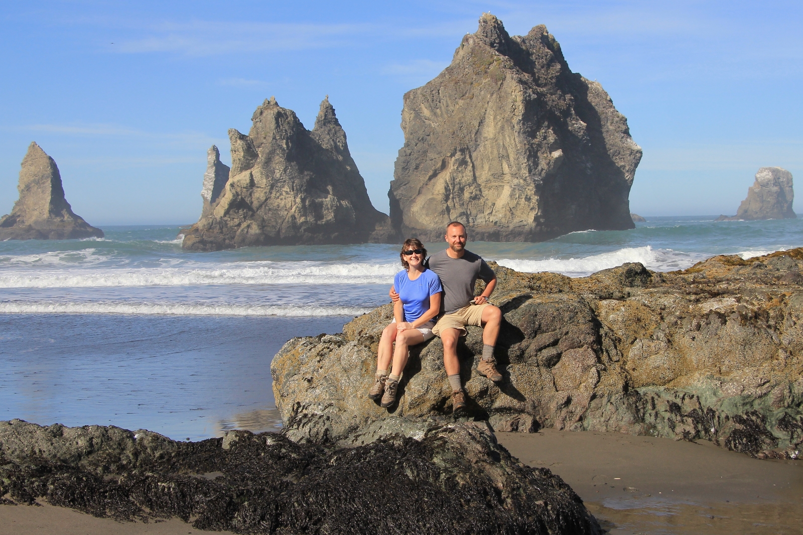
China Beach was the highlight of the day!
Wonderful photos of a part of the Oregon coast and it has been several years since I last visited . You make me want to go back . In the winter storms this place really gets rocking . You hit it in great weather and that can make this hike very enjoyable .
Thank you Rich. With those views and private beaches, I was wondering “why have I never been here?!”
Saved as a favorite, I love your site!
I’m interested to go to China Beach but have read that there are areas where the trail is steep. Did you happen to take any pictures of the trail itself so viewers can see? I have a 9 year old boy and was wondering if a trail of this kind would be hard for me to help him out.
Hi Grace,
Thanks for your question. It has been over three years since we hiked to China Beach, so my memories are a little fuzzy. I went back and looked at my photos and didn’t see anything too bad, but most of my photos were from down on the beach. It seems like it was pretty steep on the final drop to the beach, but nothing where there is exposure to cliffs or anything where you’d risk serious injury. We came in from the south, so I’m not sure what the trail coming from the north would be like. It isn’t a very long hike if you park at the North Island parking area (see map in blog). The beach is very beautiful. My recommendation is to attempt the trail and hopefully you feel comfortable the whole way. If not, you can always turn around and you’ll see beautiful scenery in the process 🙂
Happy trails!
Lusha
Oh my gosh. Thanks for sending me the link to this Lusha. Having recently arrived in Brookings for the winter, I will be checking this out for sure. I’m going to go looking for the places that your photos were taken. I won’t be about to walk it all at once, but I will walk it all by March.
As always, BEAUTIFUL PHOTOGRAHPY. By the way, you two make a nice looking couple.
Thank you for the effort you put into doing this Lusha.
Tom
I’m so glad you enjoyed this post Tom. I hope it leads you on some fun new adventures over the next few months. And, as always, thank you for your kind words 🙂
Happy Trails,
Lusha