Historic stroll to a geological landmark named by the Lewis and Clark Expedition
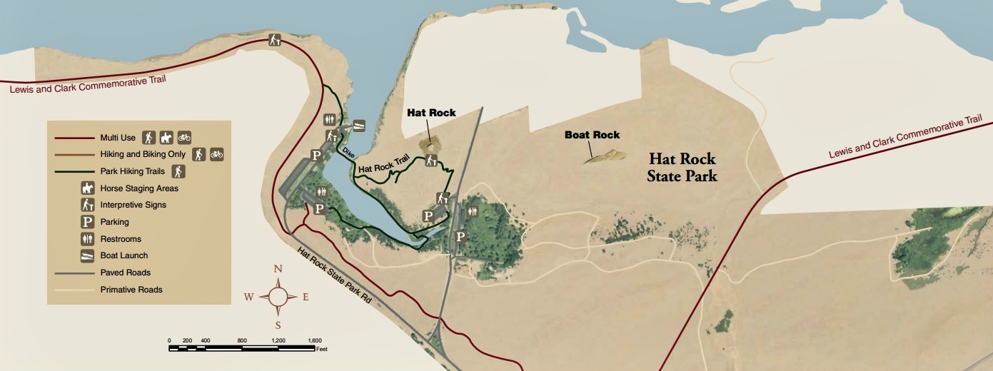
Distance: it’s only 0.75 miles to Hat Rock, but I recommend continuing to the pond and marina then up onto the Lewis and Clark Commemorative Trail for great views of the mighty Columbia River
Type: out and back or loop, depending on route selected (see map below)
Difficulty: easy
Best season: accessible most of the year, best in spring before it gets too hot. Watch for rattlesnakes.
Day one of our Oregon Spring Vacation! We left our home in SE Washington on a beautiful, sunny day in mid-April. Our destination for the first few days was Bend, about a seven hour drive away. Since we didn’t have a full day of driving, we decided to explore a couple new areas along our route. Hat Rock State Park, a place we’d driven past scores of times, would make a nice short hike and lunch stop. Then south of The Dalles, White River Falls State Park, a place I had only recently heard of, looked intriguing.

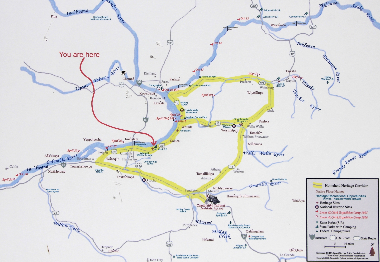
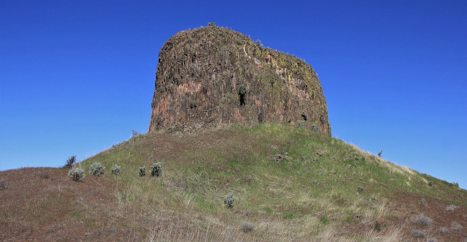
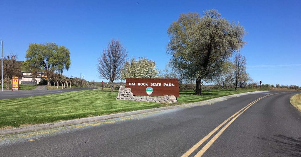
Arriving on the Oregon side of the Columbia River, we pulled into Hat Rock State Park just east of Umatilla. Hat Rock is a distinctive 70 foot basalt monolith that rises above the Columbia not far from where it makes its turn west and forms the boundary between Oregon and Washington. Lewis and Clark passed by here on October 19, 1805 and noted “a rock…resembling a hat”. The monolith was formed by the massive Ice Age floods that scoured Eastern Washington leaving behind massive coulees and basalt formations such as this one.
We hiked the short trail up to Hat Rock. It was smaller than I expected and I was surprised at how many houses were in the immediate vicinity.
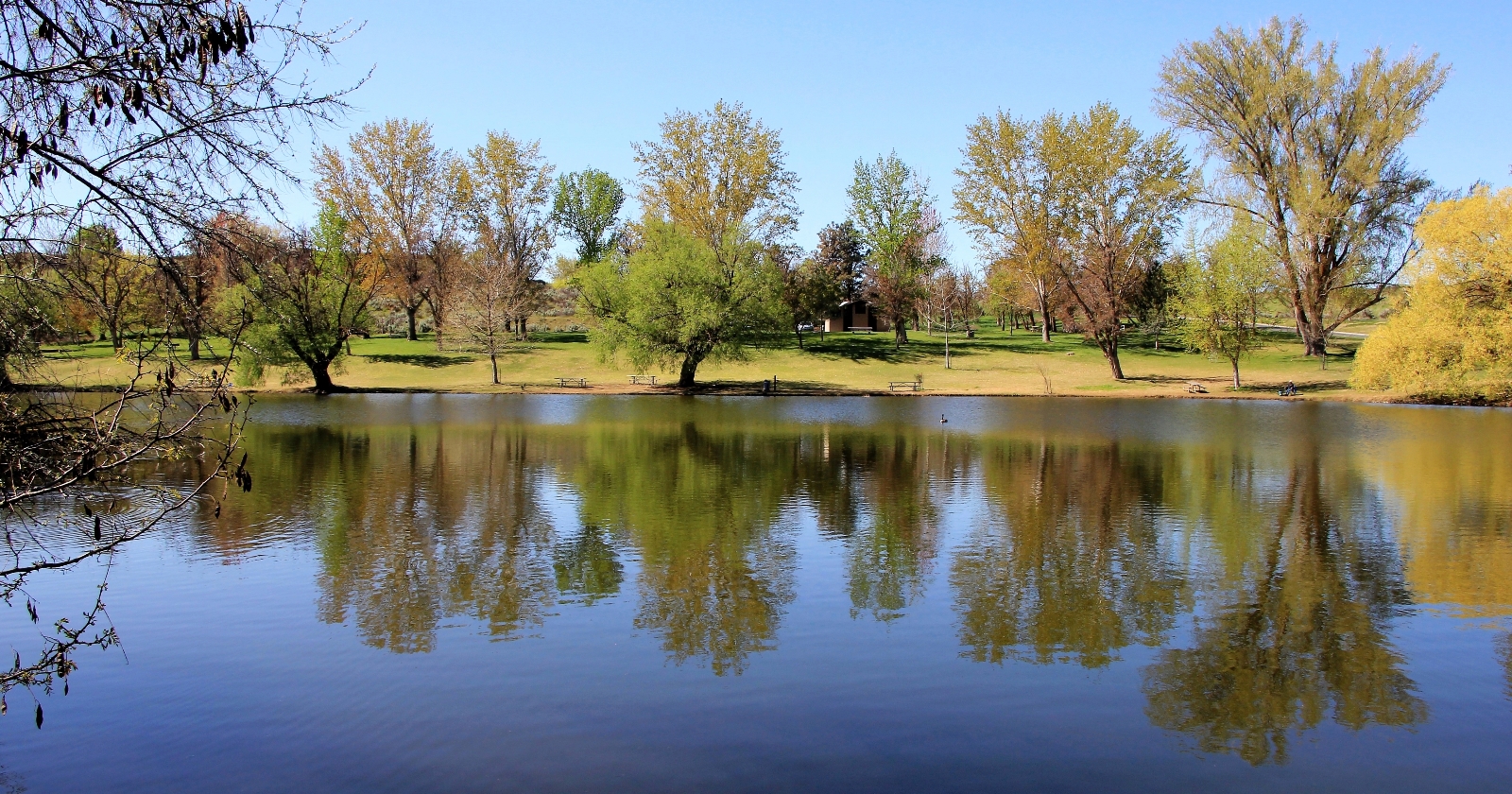
Passing Hat Rock, we dropped down to a pond and boat launch. This was a lovely area and there were quite a few people fishing and enjoying the beautiful day.
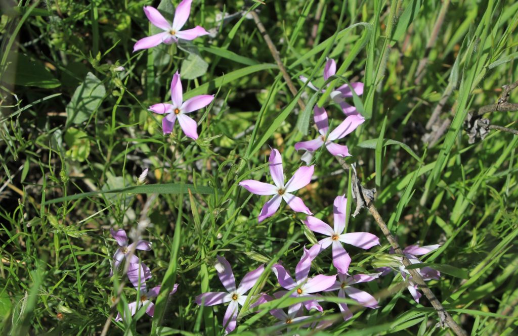
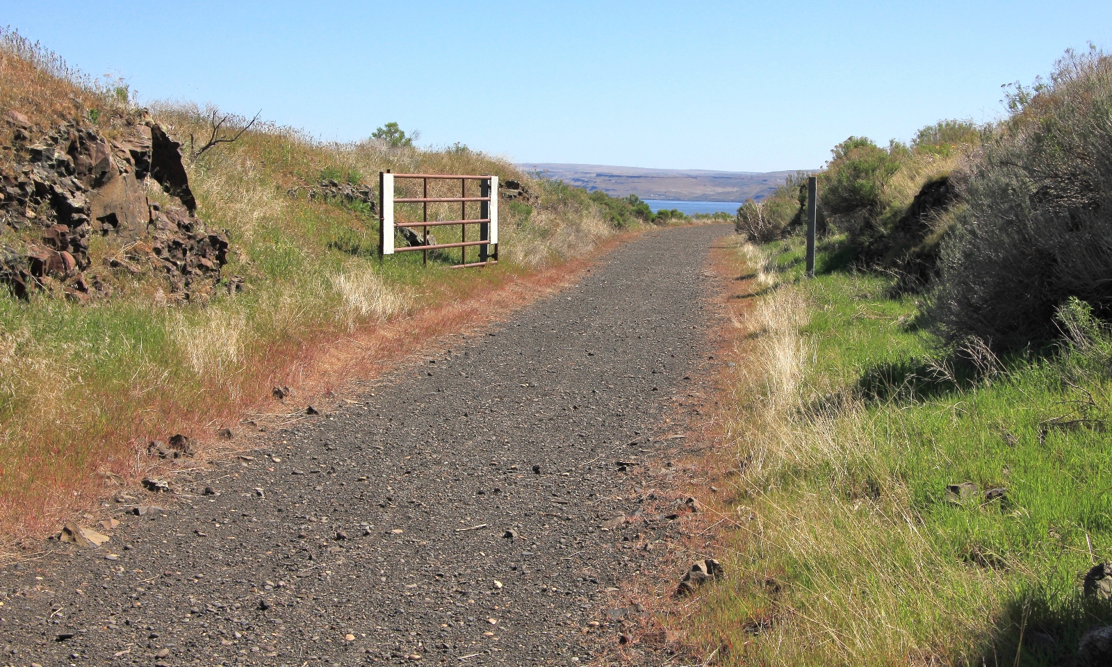
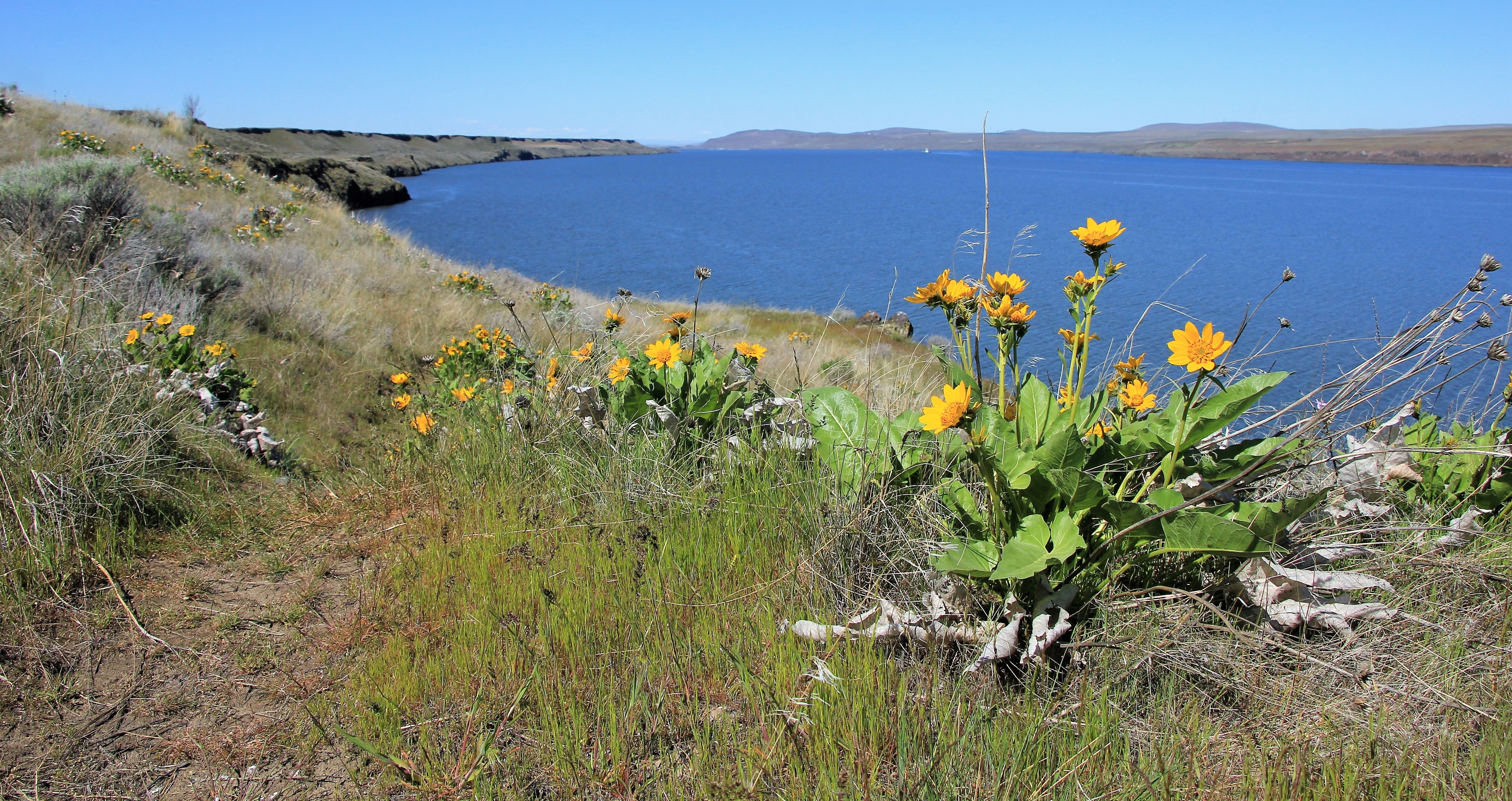
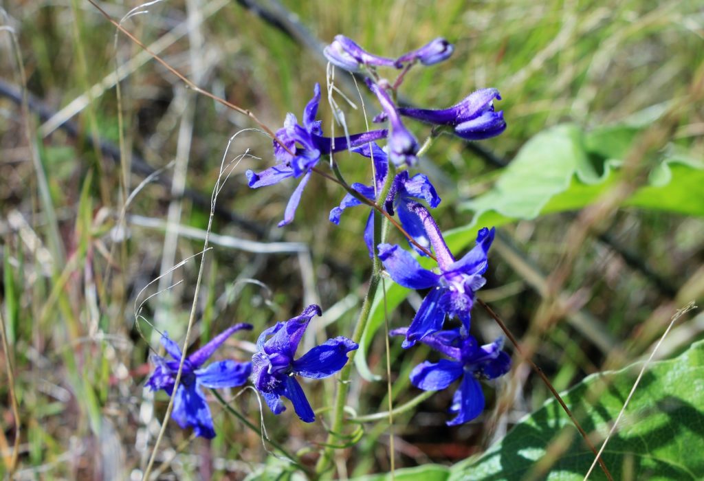
At the boat launch, we turned right and climbed a short hill to join the Lewis and Clark Commemorative Trail which follows an old rail bed high above the Columbia. We had great views of the river and enjoyed lots of bright yellow arrowleaf balsamroot and other colorful wildflowers. Temperatures were in the upper 50s and it was an enjoyable spring hike.
 After our hike, we had a nice picnic lunch in the day use area before continuing on to our next stop at White River Falls State Park.
Directions to trailhead: from Umatilla, Oregon, travel east on SR 730 for 8.1 miles and turn left on Hat Rock State Park Road. Continue 0.8 miles then bear right on Marina Drive and continue 0.3 miles to the parking area on the left.
Resources Used:
Day Hiking Columbia River Gorge
Got Gear?
Click here to see some of our tried and true gear. By accessing Amazon through the links on this page, you get the same GREAT Amazon pricing and they share a little with us. This helps us maintain evansoutdooradventures and is much appreciated! Thank you to our supporters!
Related Posts:
Check out these other hikes from our April 2018 Oregon vacation:
Central Oregon’s White River Falls State Park
Central Oregon’s Smith Rock State Park: Misery Ridge Trail
Central Oregon’s Smith Rock State Park: Canyon Trail
Central Oregon’s Smith Rock State Park: Summit Loop
Central Oregon’s Deschutes River: Dillon Falls
Central Oregon’s Steelhead Falls
Oregon’s Santiam Foothills: Shellburg Falls
Oregon’s Silver Falls State Park: Trail of Ten Falls
Washington’s Columbia River Gorge: Coyote Wall
Oregon’s Columbia River Gorge: Tom McCall Point & Rowena Plateau