Hike through a beautiful and rugged Utah canyon to ancient Anasazi Indian ruins
Distance: 8.0 miles round trip to Junction Ruin (we did some extra exploring and logged 9.2 miles)
Type: out and back
Difficulty: moderate with rocky tread and 540′ elevation loss/gain
Best season: spring and fall
Sometimes even us type A ultra-planers have to fly by the seat of our pants. Our October 2013 vacation was not at all as I had originally planned. Plan A was to hike the Canadian Rockies the first of September, but I had a new hire coming on board at work and really couldn’t get away. Plan B was Yosemite the middle of September, but one of the largest wildfires in California state history hit in mid-August. Plan C was Rocky Mountain National Park, but in mid-September the area received 26″ of rain in just two days—they were calling it a “1,000 year flood event”. Roads were washed away and much of the park shut down.
Plan D became hiking several National Parks/Monuments in SW Colorado. Our vacation was set for October 4-13…then on October 1st, three days before departure, the United States federal government entered a 16 day long shutdown closing all National Parks/Monuments.
With a bit more scrambling and last minute planning, plan E came together. All state parks and BLM land in Utah were open (BLM facilities were shut down, but they left the land open to hikers). We planned to head for the area between Moab and Bluff in SE Utah where we would hike Amasa Back, Dead Horse Point State Park, Grand Gulch (Kane Ranger Station to Junction Ruins), Cedar Mesa (Fallen Roof and Citadel Ruins), Sand Canyon (SW Colorado), Tower Ruins, and what ended up being an early sneak into Capitol Reef National Park as the governor of Utah was cutting a deal with the feds. Best of all, our friend Lisa would be joining us for the first two days. And we didn’t know it yet, but we would meet a couple on the Citadel trail who would end up being dear friends. We were set!
Vacation started with two beautiful days of hiking near Moab with our good friend Lisa. We enjoyed the Amasa Back trail and a loop hike around Dead Horse Point State Park. Unfortunately, Lisa had to return home, but we still had lots of time left to play!
Monday morning we checked out of our hotel in Moab and headed south to Grand Gulch in SE Utah where we planned to hike down Kane Gulch to its junction with Grand Gulch. The government shutdown had closed all BLM facilities, but the agency had left the land open to hiking.
We made the trip from Moab down to Blanding where we pulled into the visitor center to talk with the volunteer about the shutdown’s impact on the area—what was open and what wasn’t. Her biggest recommendation was to simply “show respect everywhere”. No problem, that is always our policy. She told the story about a person who had literally run over the barricades into Natural Bridges National Monument. She had talked with park law enforcement who said he would have just talked to the people if he found them in the park, but considering he saw them run over the barricade he had ticketed them.
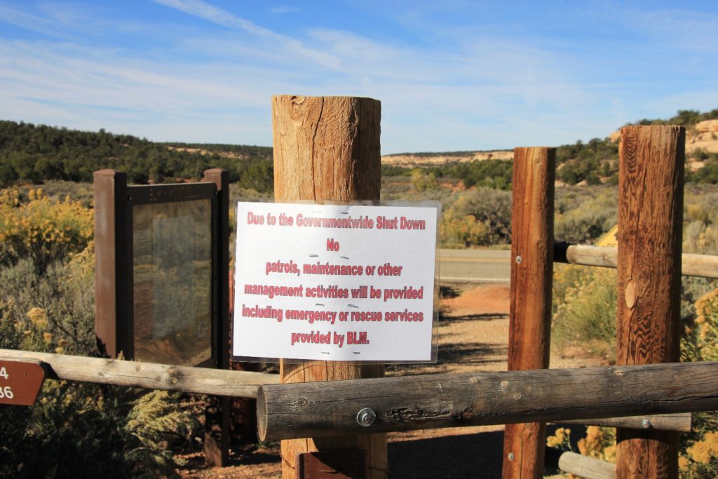
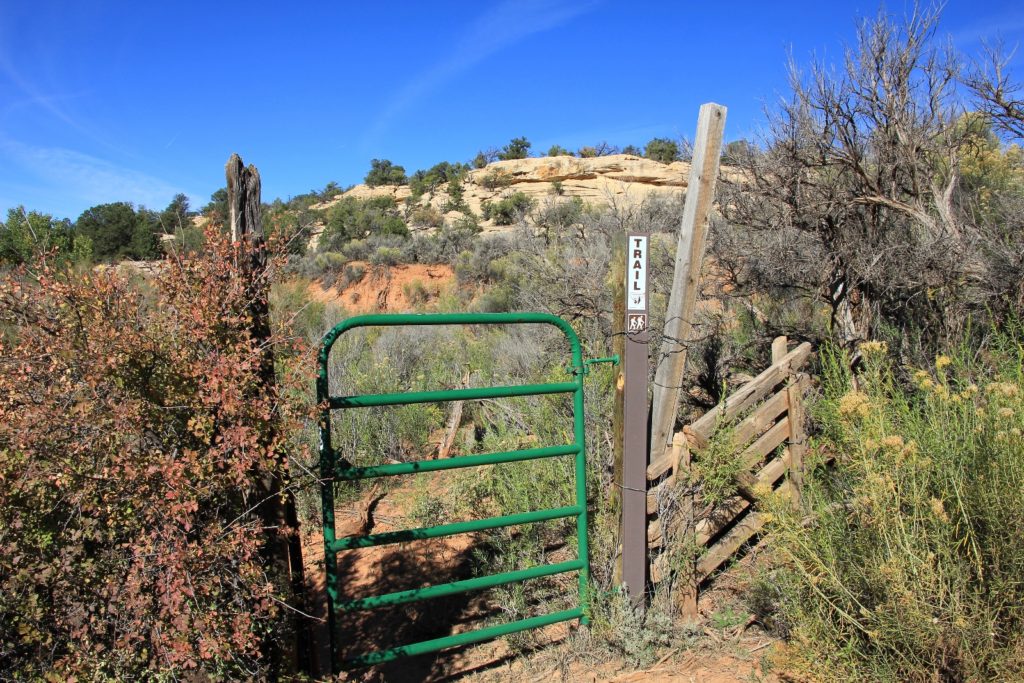
From Blanding we headed west to Kane Ranger Station (elevation 6,440′) where we found only two other vehicles in the back parking lot.. nice…maybe I was being too hard on our idiot politicians. Perfect weather and zero crowds would make for a lovely day on the trail. A note posted at the hiker board read “Due to the government shutdown: No patrols, maintenance, or other management activities will be provided including emergency or rescue services provided by BLM.” Good to know. Despite the shutdown and no one there to enforce anything, we paid our $4 entrance fee. I wrote a note on the registration, “Continuing to support BLM despite the government shutdown. P.S. thanks for keeping the bathrooms open.”
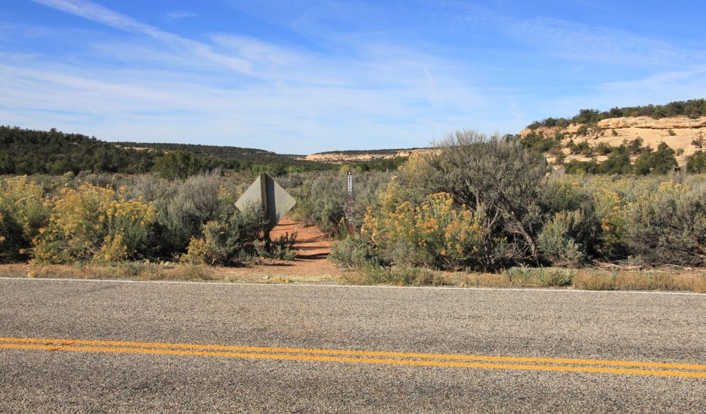
From the Kane Gulch Ranger Station parking lot, we crossed UT-261 and took our first steps down the Kane Gulch Trail.
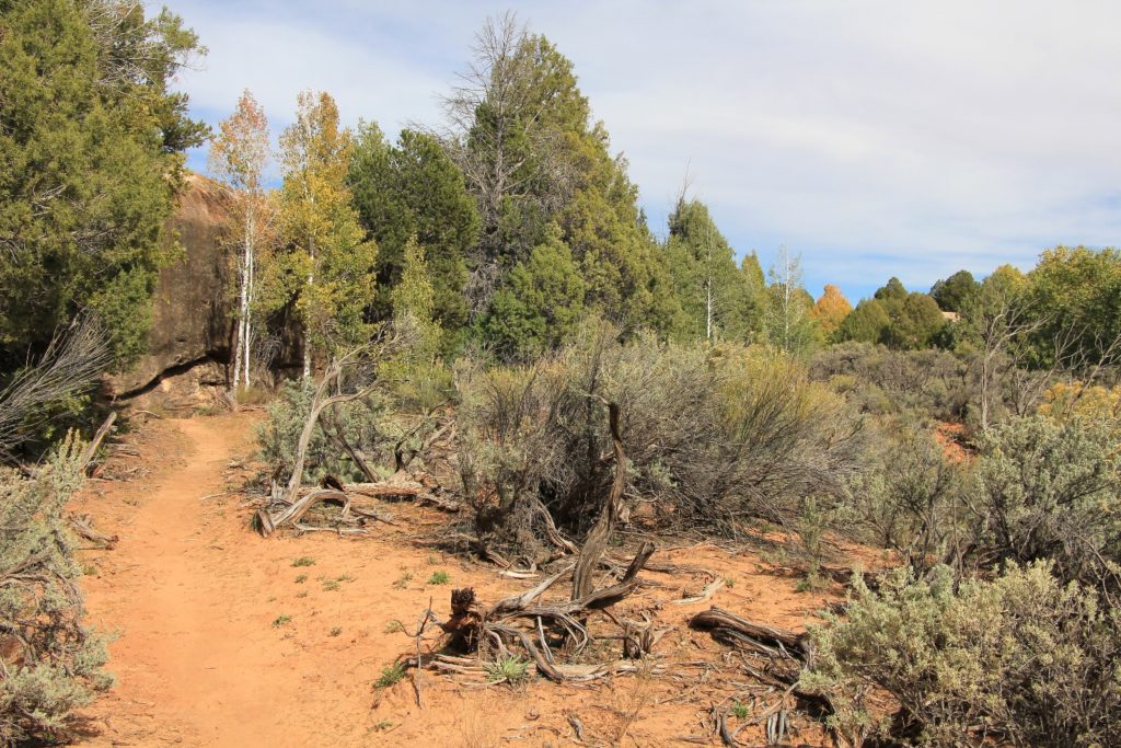
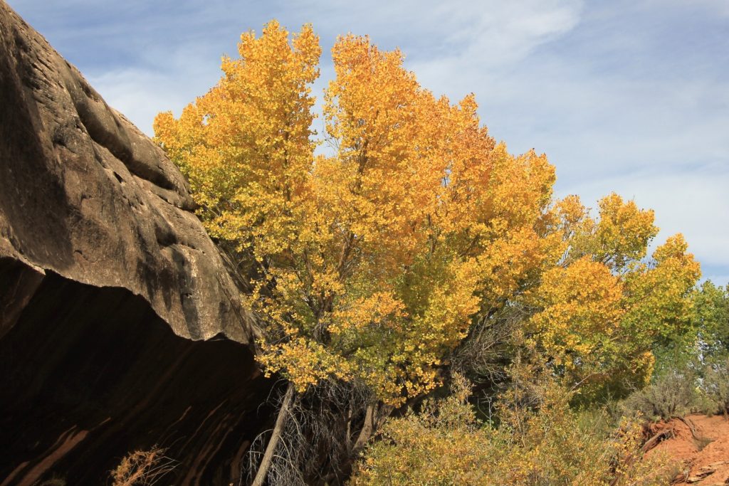
 The upper part was relatively flat as Kane Gulch began to develop very gradually. We began seeing a little bit of fall colors and walked thru the aspen grove that I had read about.
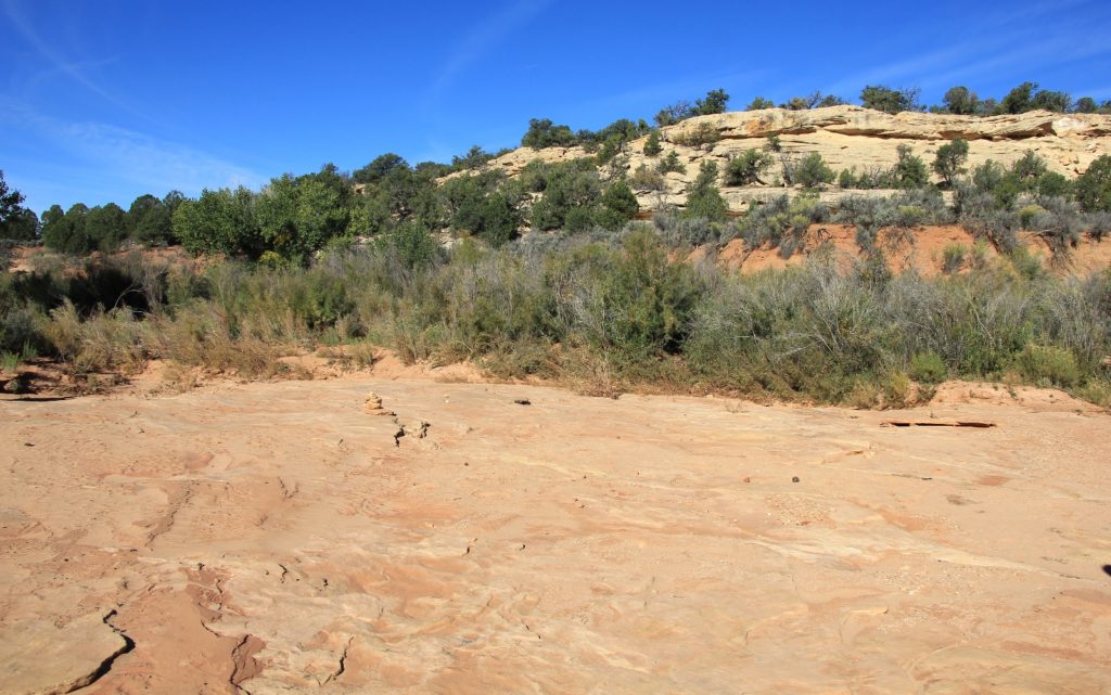
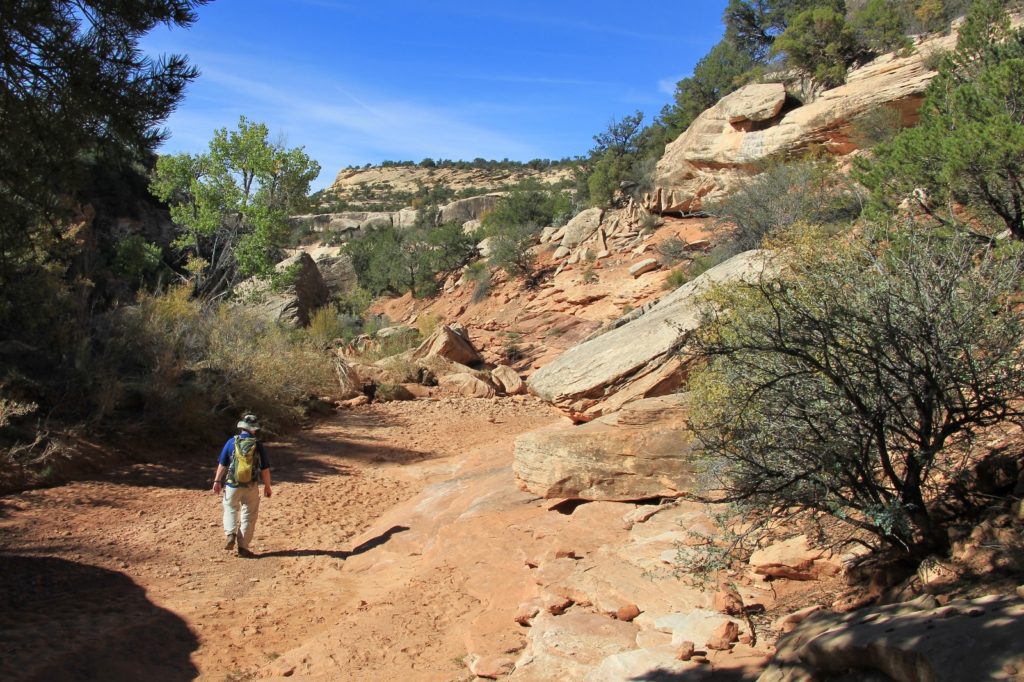
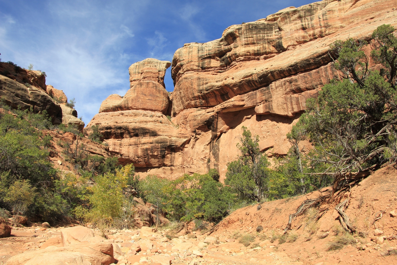
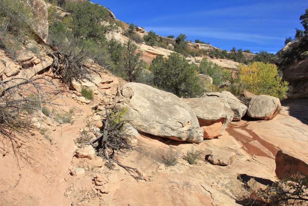
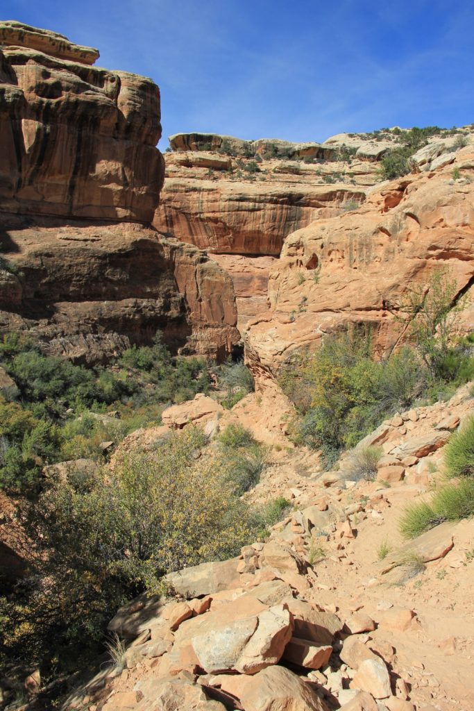
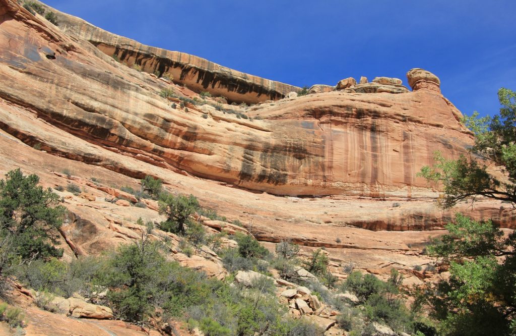
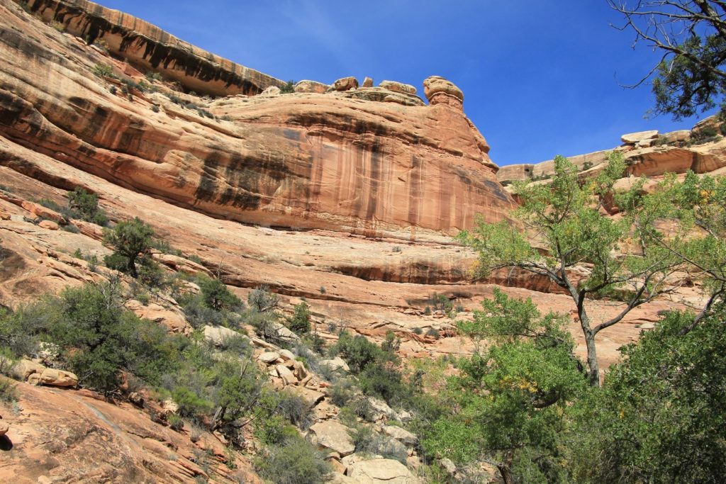
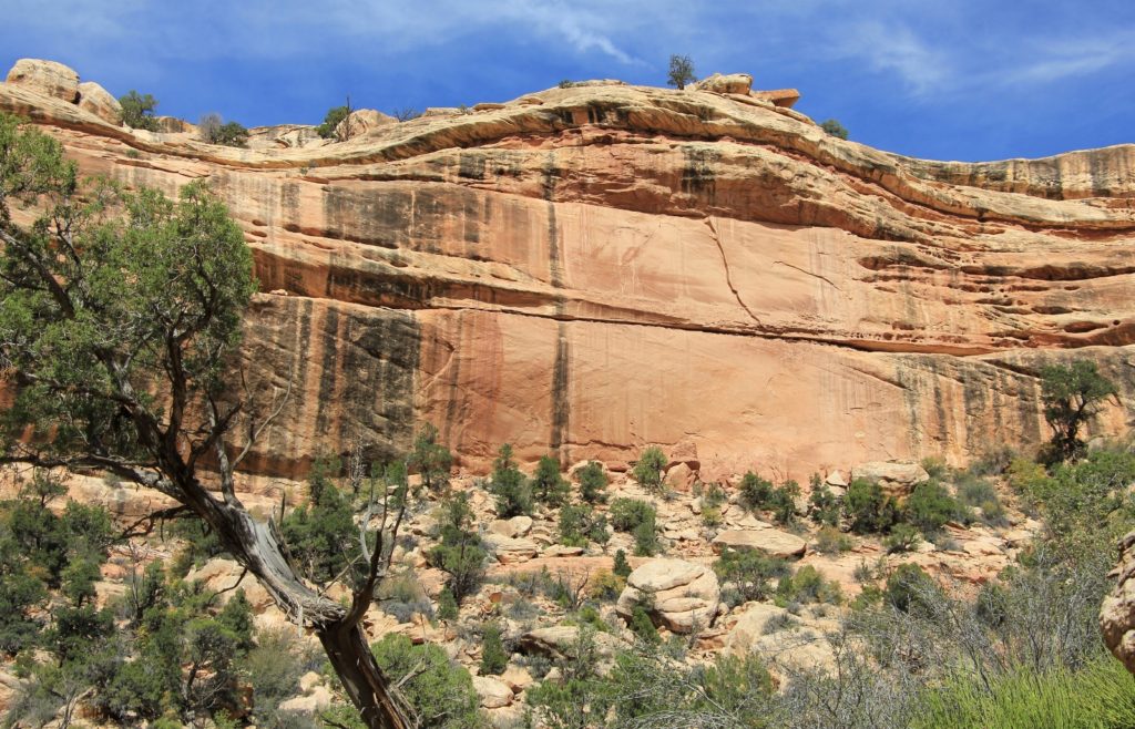
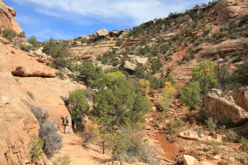
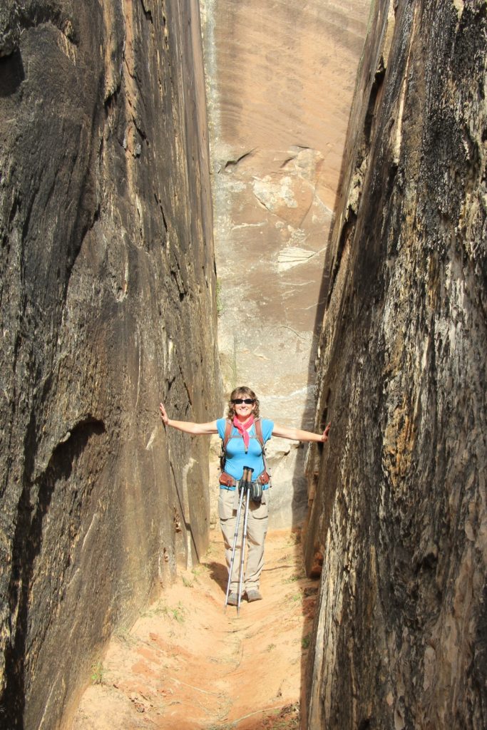
Before long, the trail became pretty rugged as it hugged the north canyon wall (right side)—climbing and dropping over rocks and small boulders. The tread was a bit steep and rocky in places. By now, the red canyon walls towered above us.
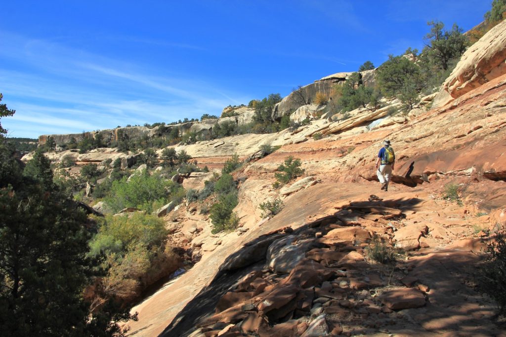
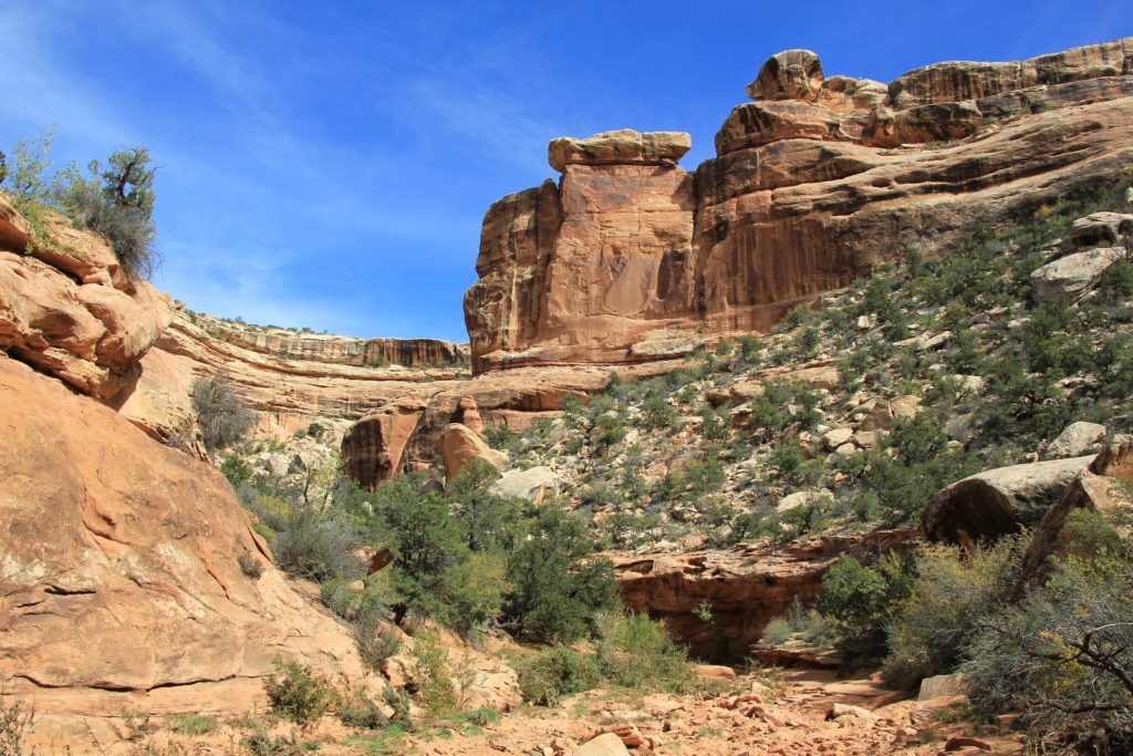
At about 2.75 miles in, we crossed to the south (left) side of the canyon and the grade became much more moderate. The hiking from here was quite easy and scenic. We passed several pools of water in this lower stretch- I’m guessing left over from the big monsoon season and the rains the previous week. We only saw one other couple on our hike in.
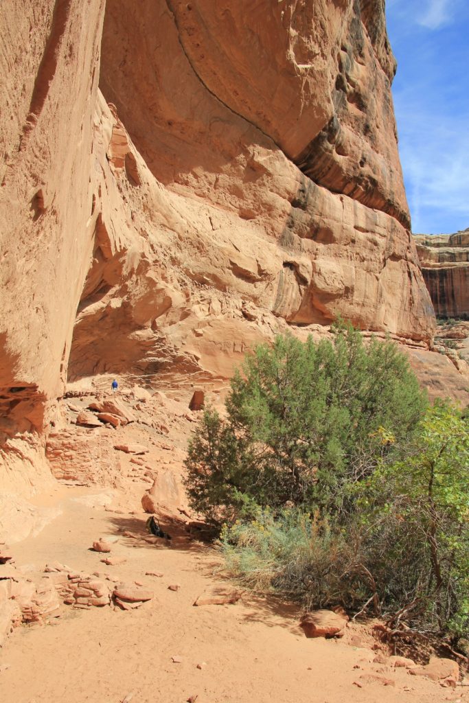
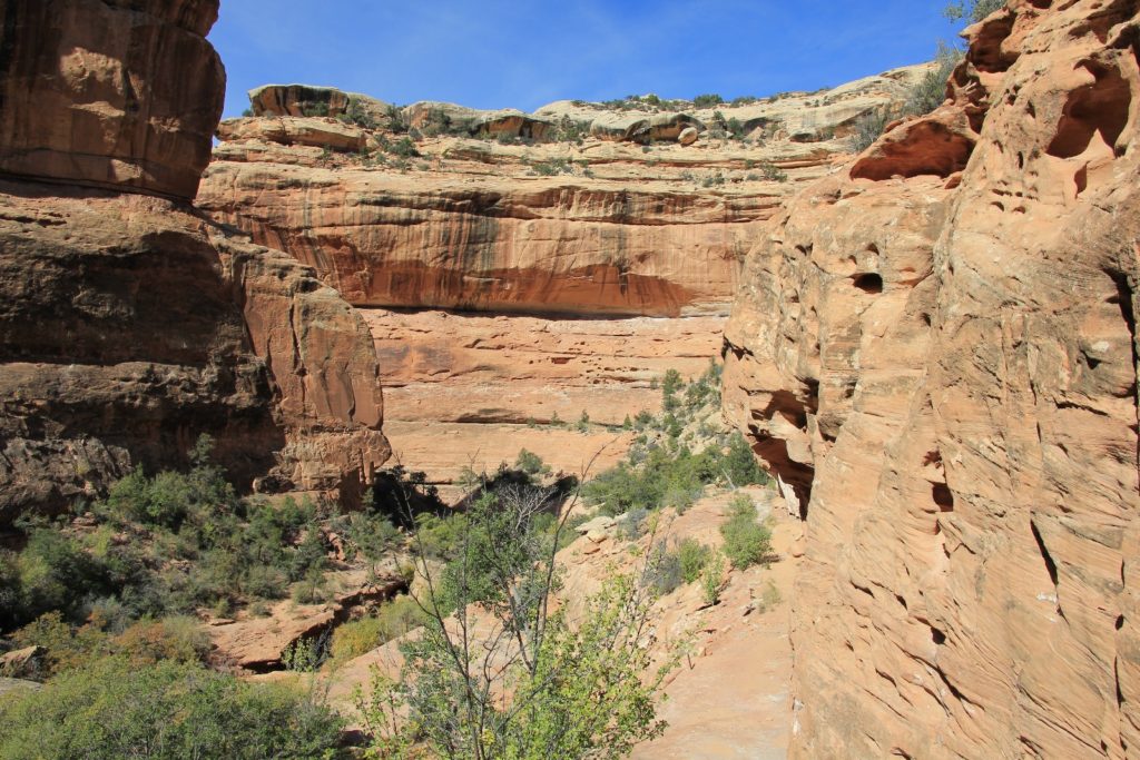
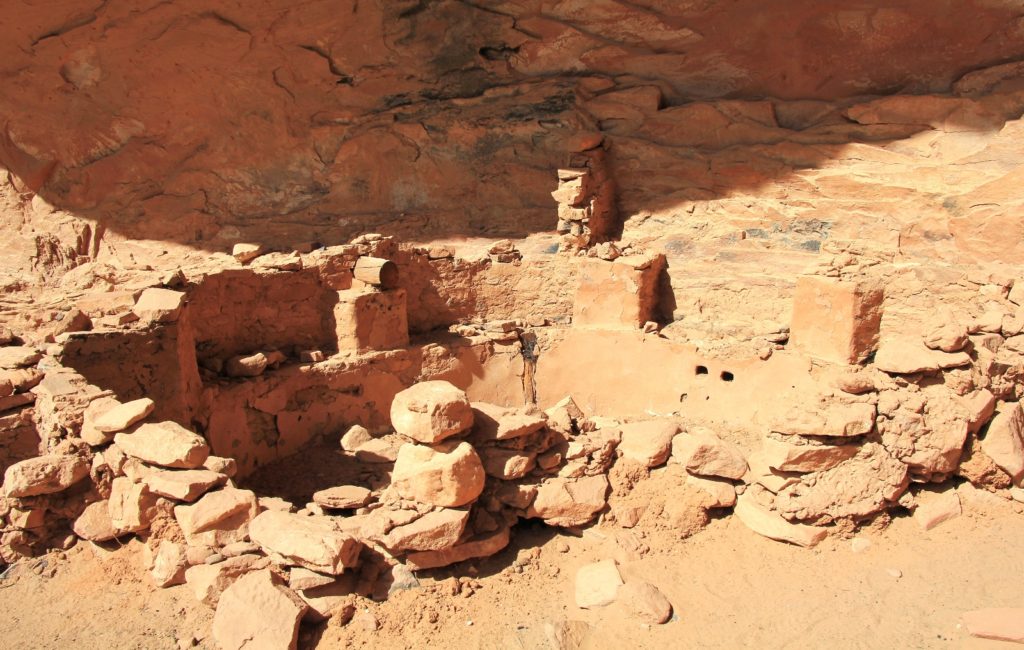
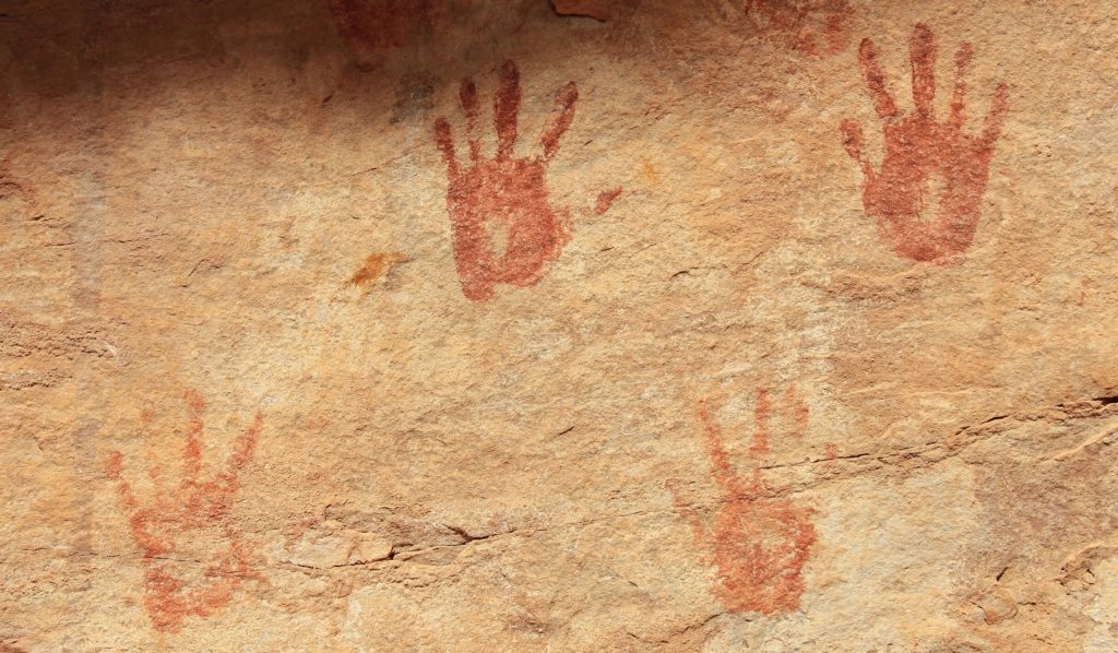
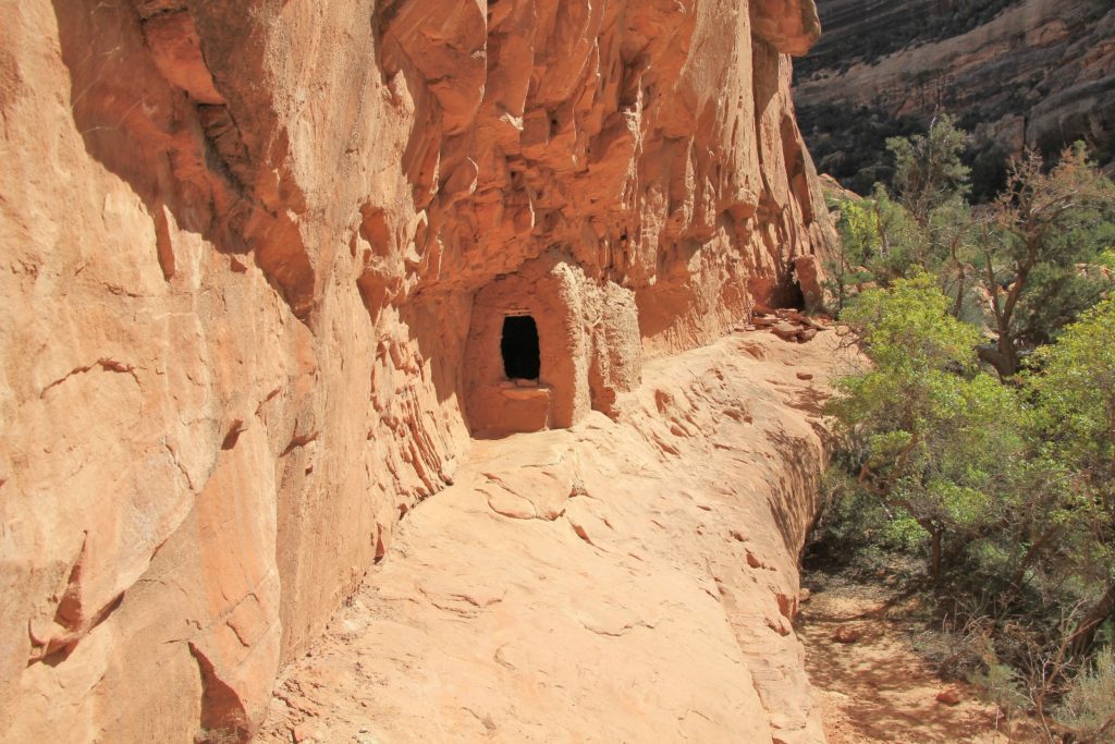
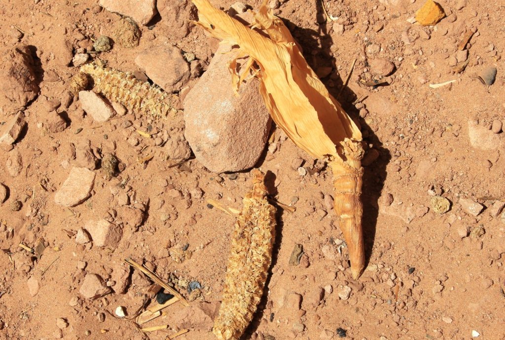
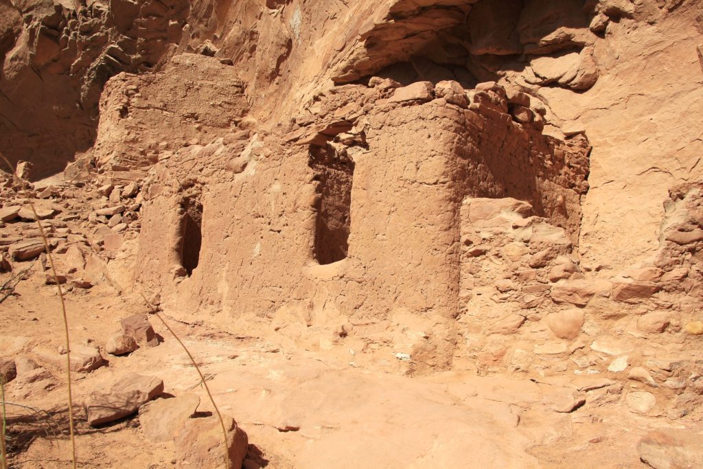
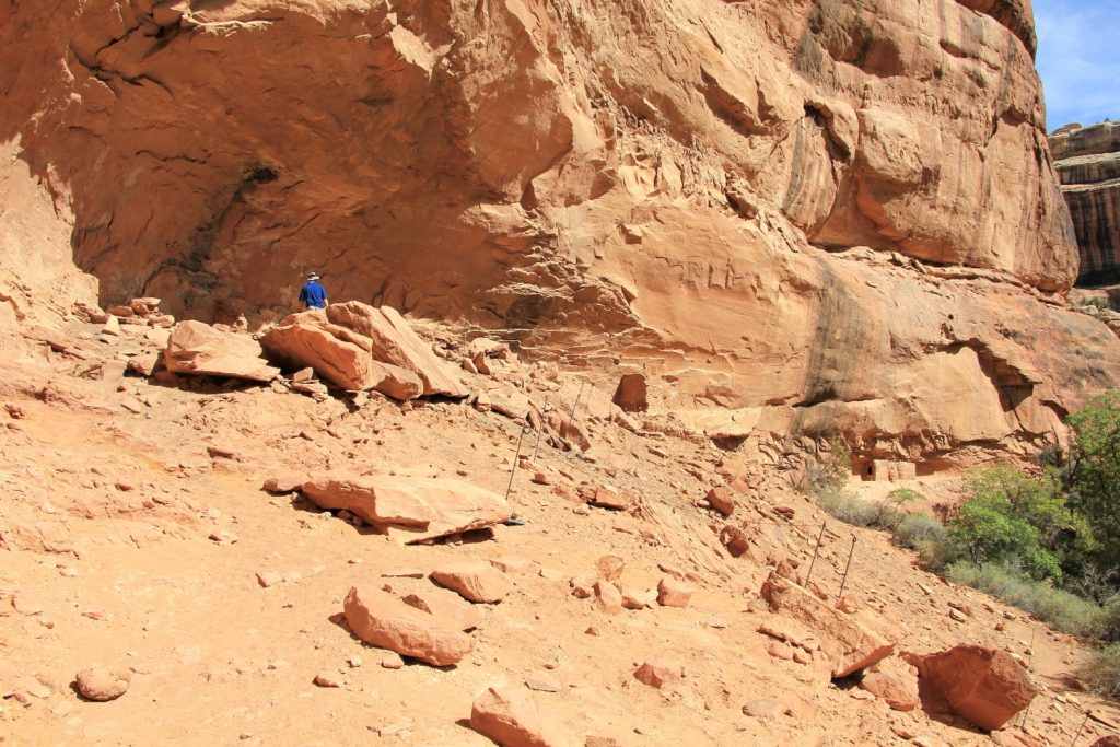
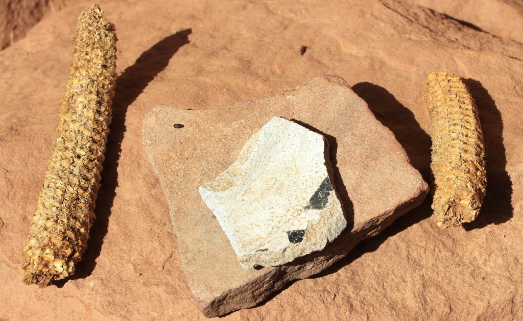
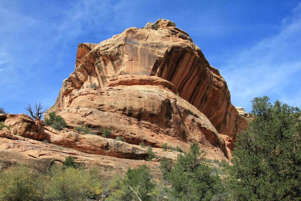
At about 3.75 miles we reached the junction of Kane and Grand Gulches. This is a scenic spot with towering sandstone walls and large cottonwood trees with some nice looking campsites. We walked up Grand Gulch about 1/4 mile to reach Junction Ruin along the canyon’s west wall. The ruins are quite extensive, consisting of three levels and some nice hand pictographs. We spent a fair amount of time exploring the ruins.
On the return hike, we ran into two young men backpacking in. They were only about ½ a mile from the trailhead when we saw them and they had questions about water sources and places to camp. They were with a tour group and were supposed to be in the national parks, but had to find alternative activities just like everyone else due to the shutdown. We ran into one more party in the parking lot, a family of three getting ready to backpack in. They asked the same questions about water sources.
Directions to trailhead: From Blanding, Utah, drive south on US 191 south 4.0 miles and turn right (west) on UT-95. Continue 28.4 miles and turn left (south) on UT-261. Drive 9.7 miles to the Kane Gulch Ranger Station on the left side of the highway. Permits are required for both day hikes and backpacks into Grand Gulch. See the BLM Grand Gulch website for more information.