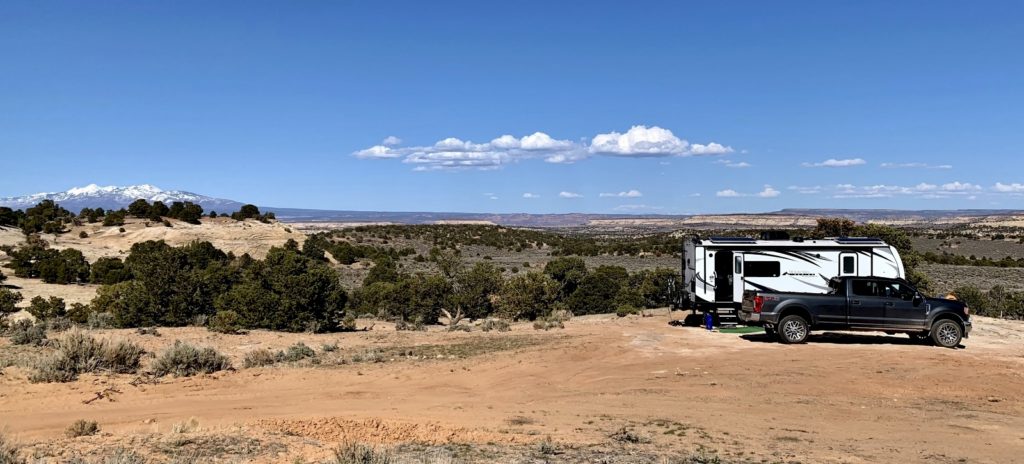
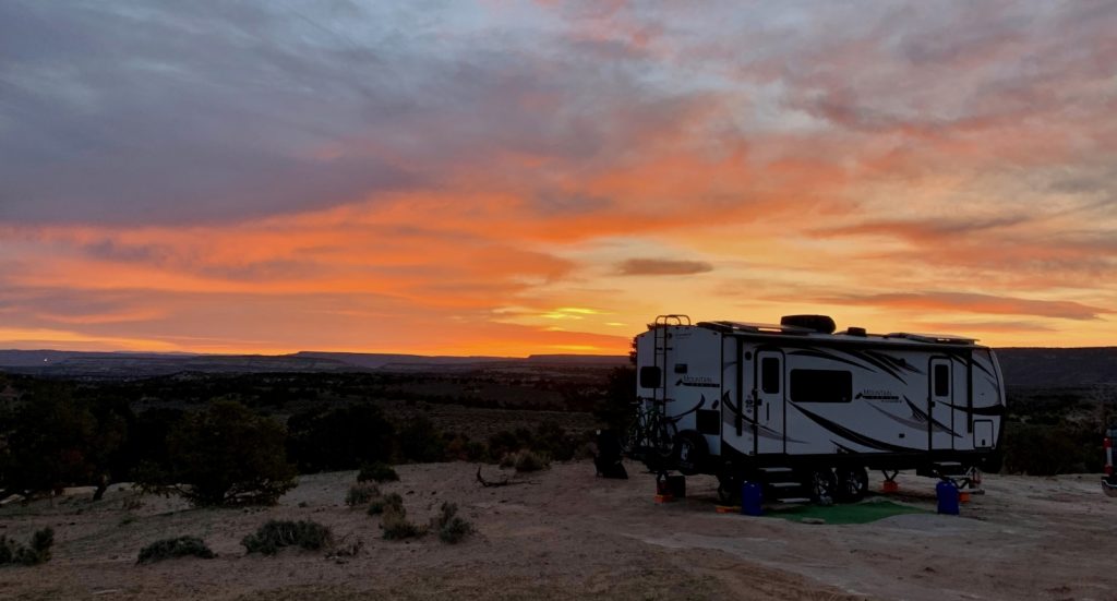
After nearly two adventure filled weeks in Moab, it was time to say goodbye to our friends D&L and continue our journey south. After a resupply and laundry day in Monticello, we moved to an epic boondocking spot. We had planned to relocate to BLM land near the entrance of Canyonlands National Park Needles District, but found the area busier than we prefer. We accidently stumbled upon a location a little further away from the park than we had hoped for, but with solitude and incredible far reaching views.
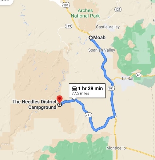
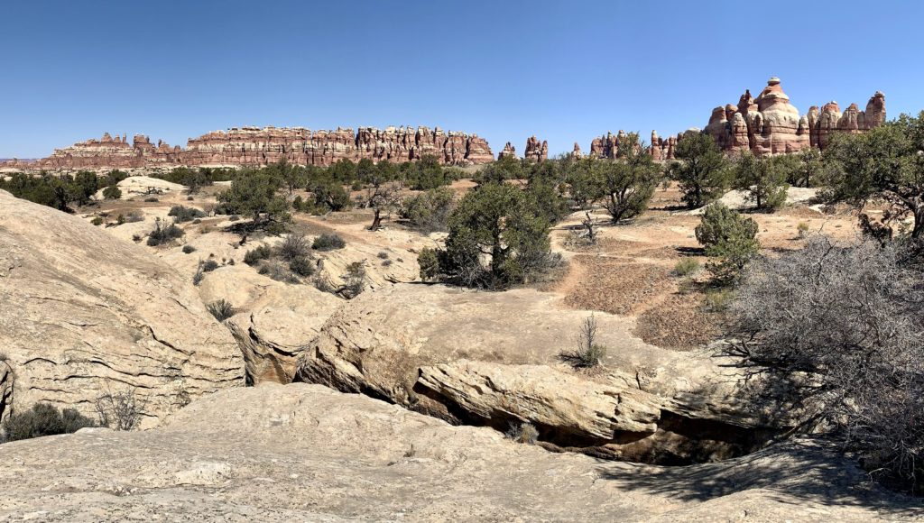
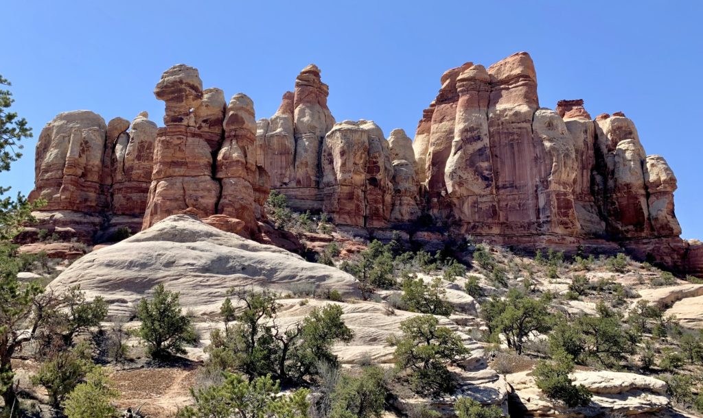
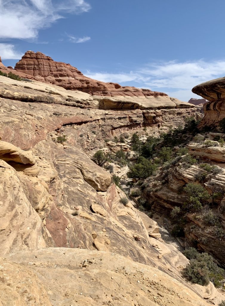
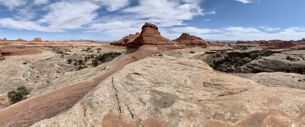
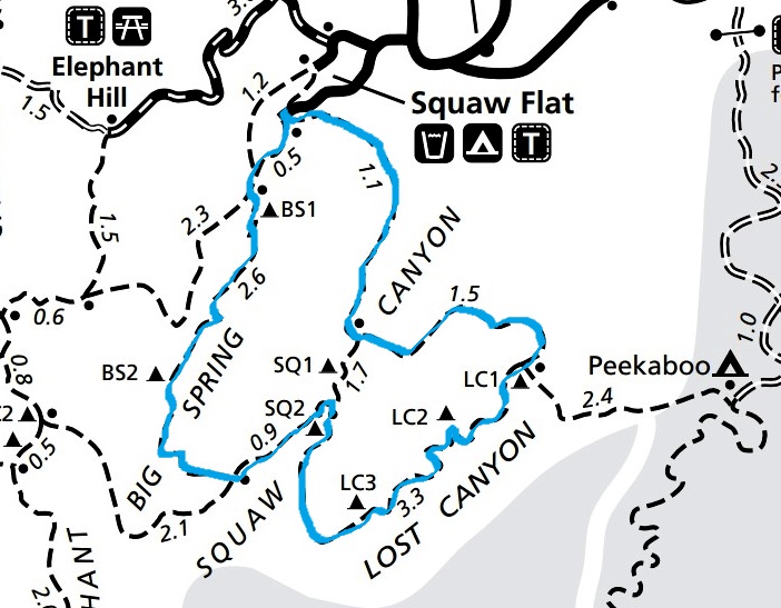
The Needles District of Canyonlands National Park is located approximately 1.5 hours southwest of Moab, Utah. Bordered by the Colorado River to the north, the area is dominated by colorful spires of Cedar Mesa Sandstone that tower above the canyon floor. While numerous recreation opportunities exist within the district, Needles is primarily a hiking and backpacking destination (click here for trail map). The cost of admission is high here—most trails are over 8.0 miles long and include significant elevation gain/loss, strenuous climbing over rocky terrain, steep slickrock slopes and climbing ladders; however, the rewards are equally high. Outside of the Chesler Park – Joint Trail loop, the trails aren’t crowded and the scenery is beyond imagination. We’ve visited The Needles District a handful of times in the past, including our epic 2015 four day backpack of Salt Creek. It is one of our favorite Southwest destinations and we still had several trails that were high on my bucket list.
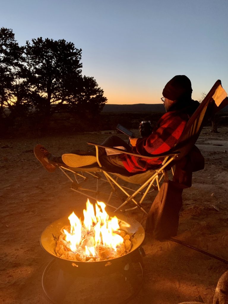
We spent just over a week camped in the area. We tackled four of the park’s long trails and then spent our off days exploring around our beautiful boondocking site.
Chesler Park – Joint Trail Loop
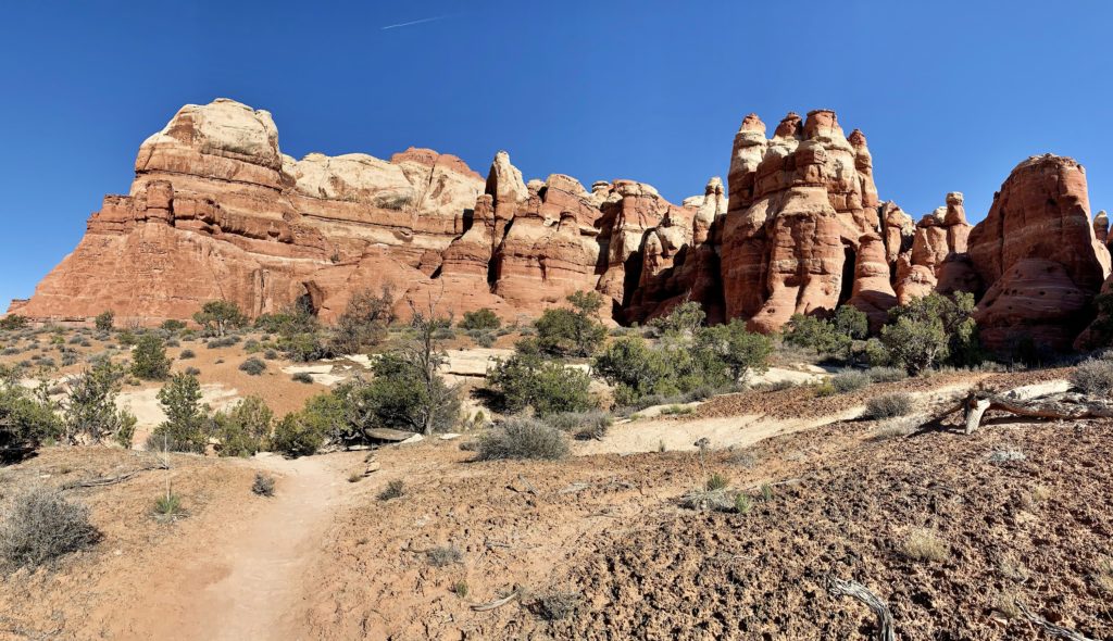
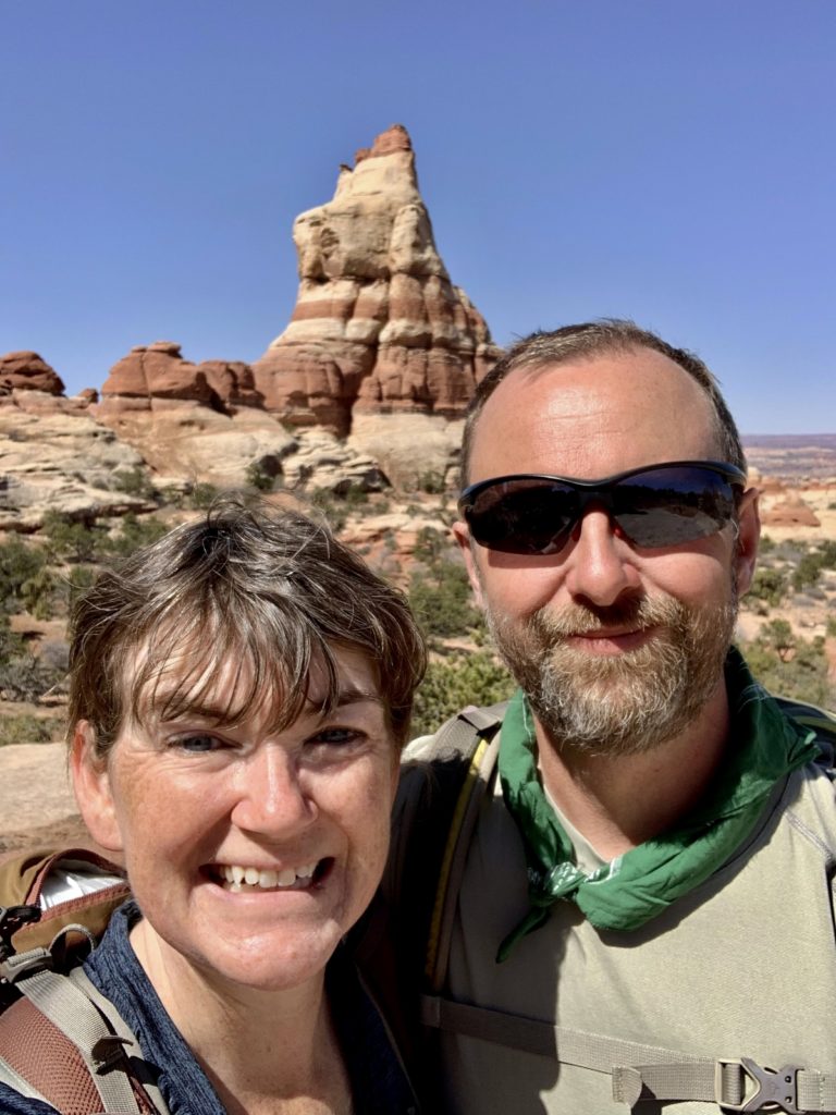
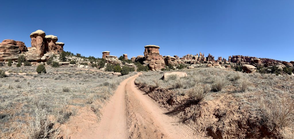
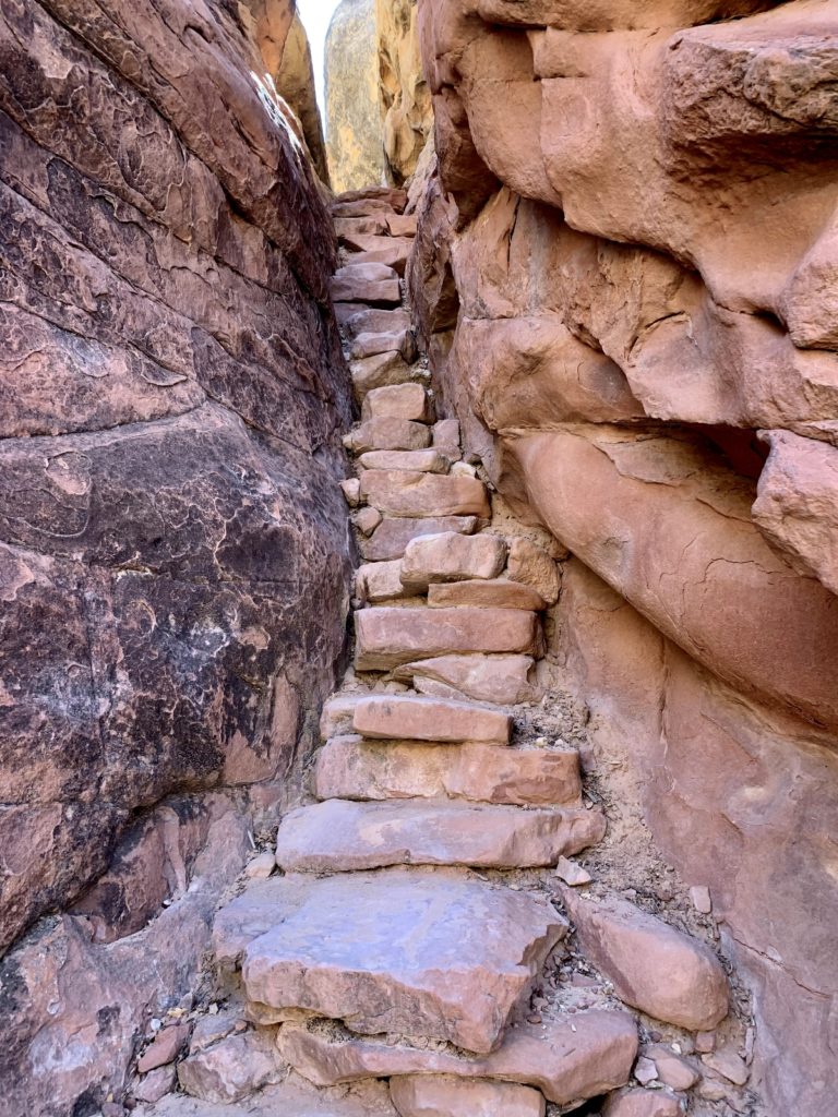
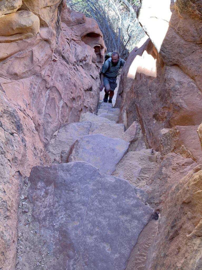
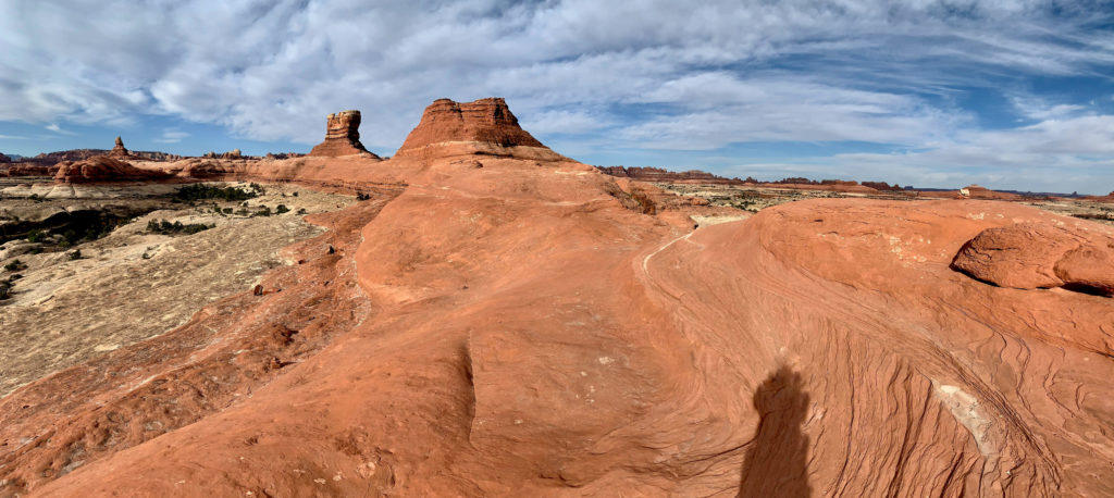
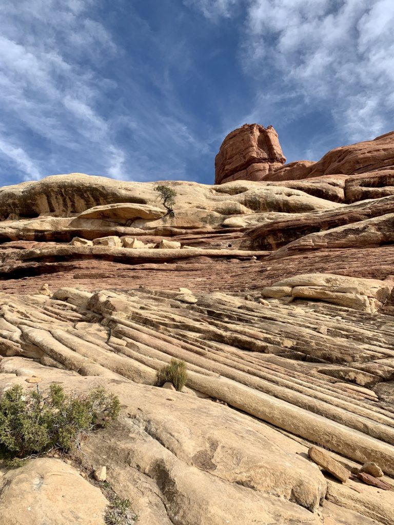
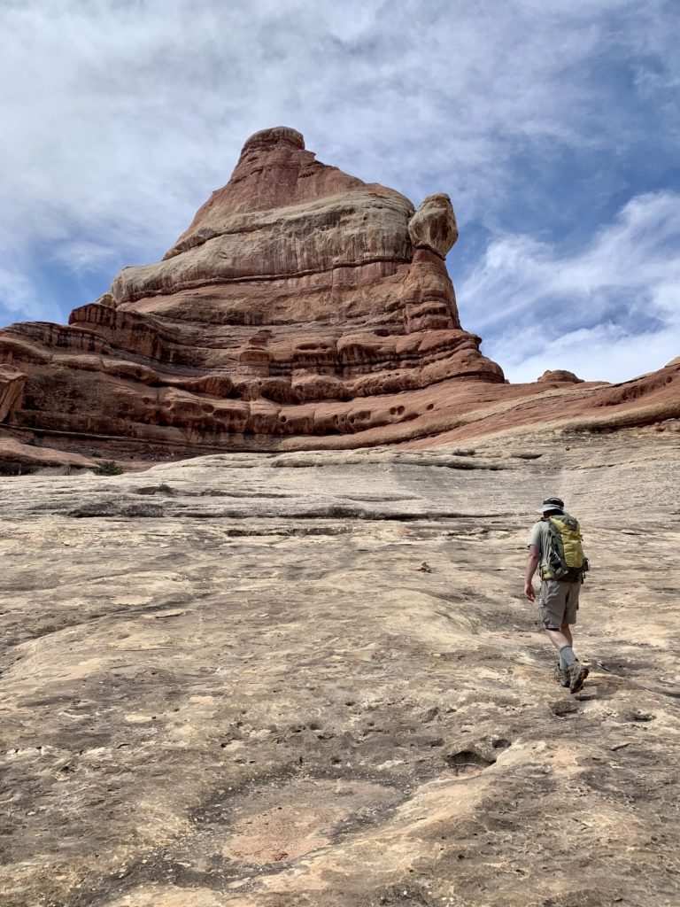
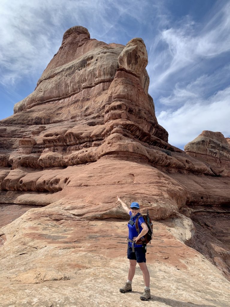
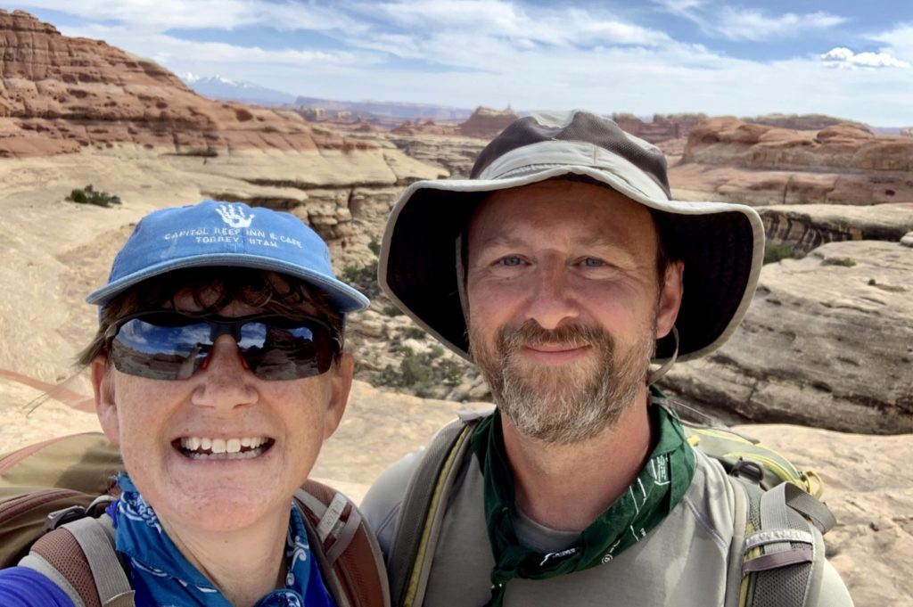
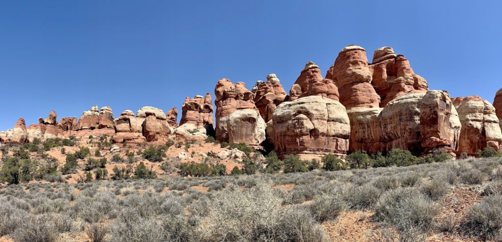
Without question, the most popular Needles trail is the loop around Chesler Park and along the Joint Trail. We had done a portion of the loop years ago, but the full 11.0 mile lollipop route remained high on my bucket list. Hikers are treated to stunning views of the Needles formations as they circle around Chesler Park and the Joint Trail plunges you into narrow fractures in the rocks that make you feel like you are hiking through a crack in the Earth’s surface. This is a strenuous hike with significant elevation changes over rocky terrain, but it is well worth the effort and easily ranked as one of my favorite hikes of our seven week trip.
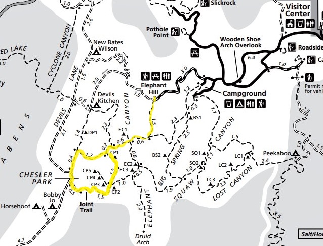
We began our adventure at the Elephant Hill Trailhead. The road out to Elephant Hill is not paved, but is generally in good condition and navigable by all cars. The road is narrow in places, especially around some tight corners, so caution should be exercised. We hiked the the loop portion of the route in a counter-clockwise direction. We felt like we got the more difficult sections out of the way early on in the day and would recommend this direction. All trail junctions were well marked, but hikers should remain vigilant in their navigation, particularly across slickrock expanses where cairns mark the way. It wouldn’t take much for an inexperienced hiker to get lost here. The northern portion of the loop did have some descents that required the use of both hands to climb over the rocks, but it wasn’t anything technical.

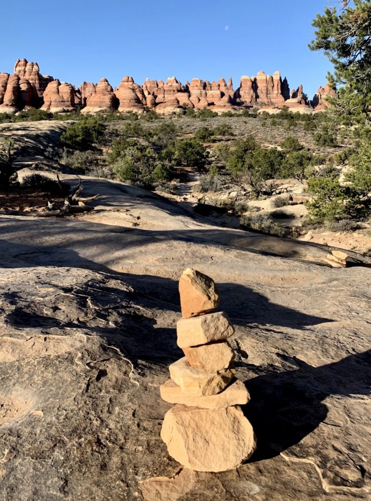
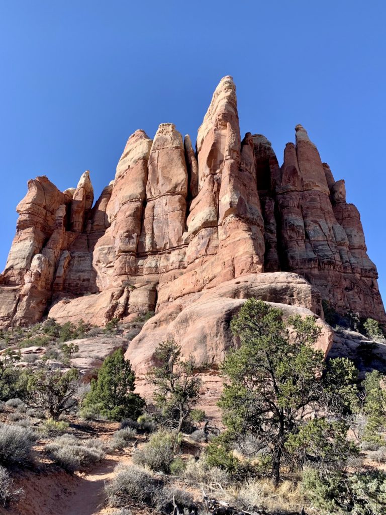
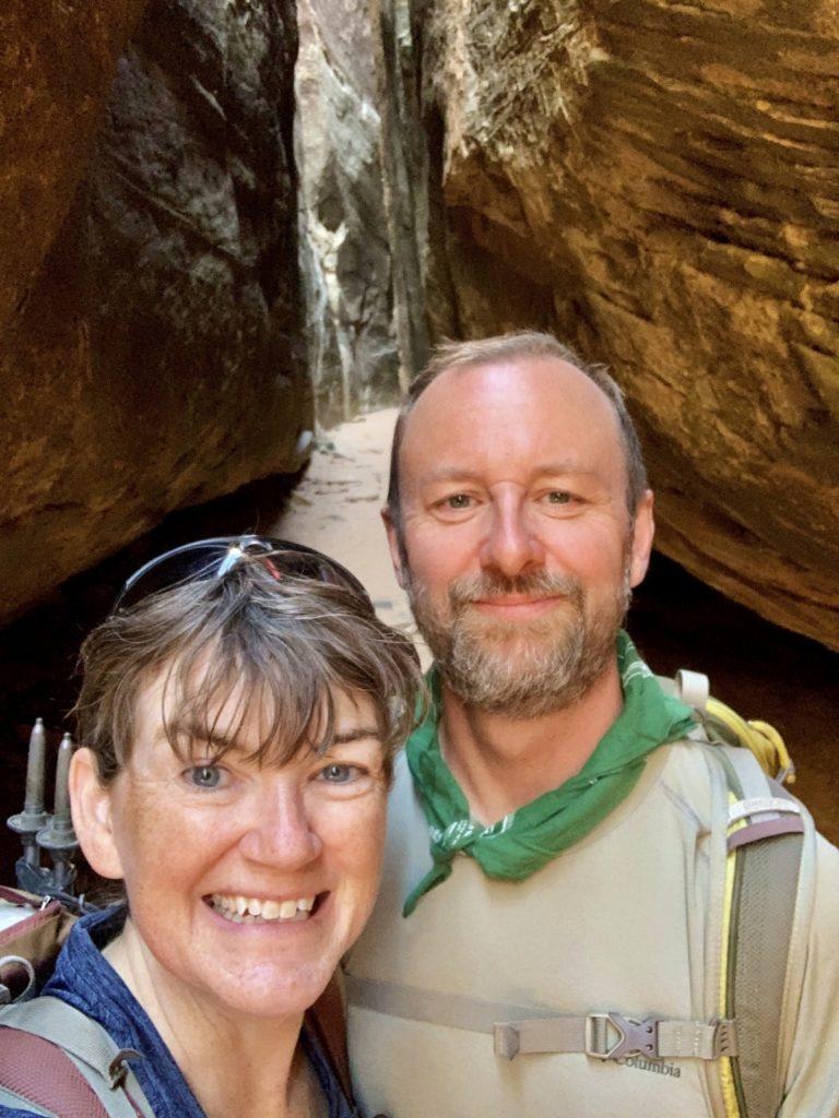
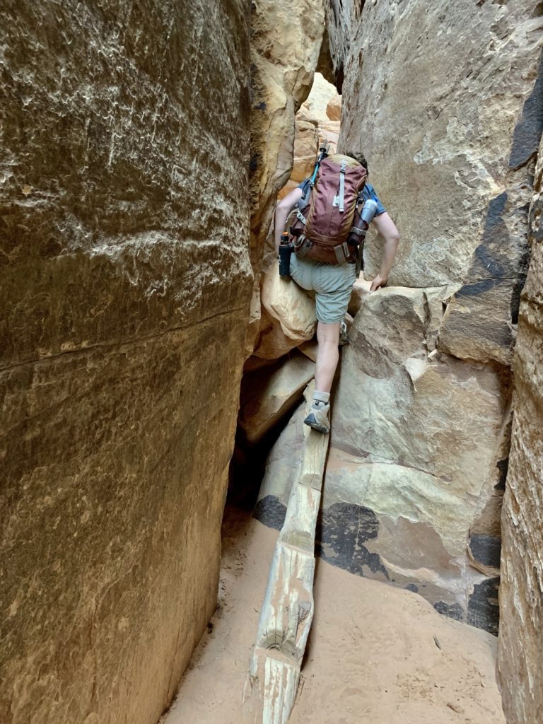
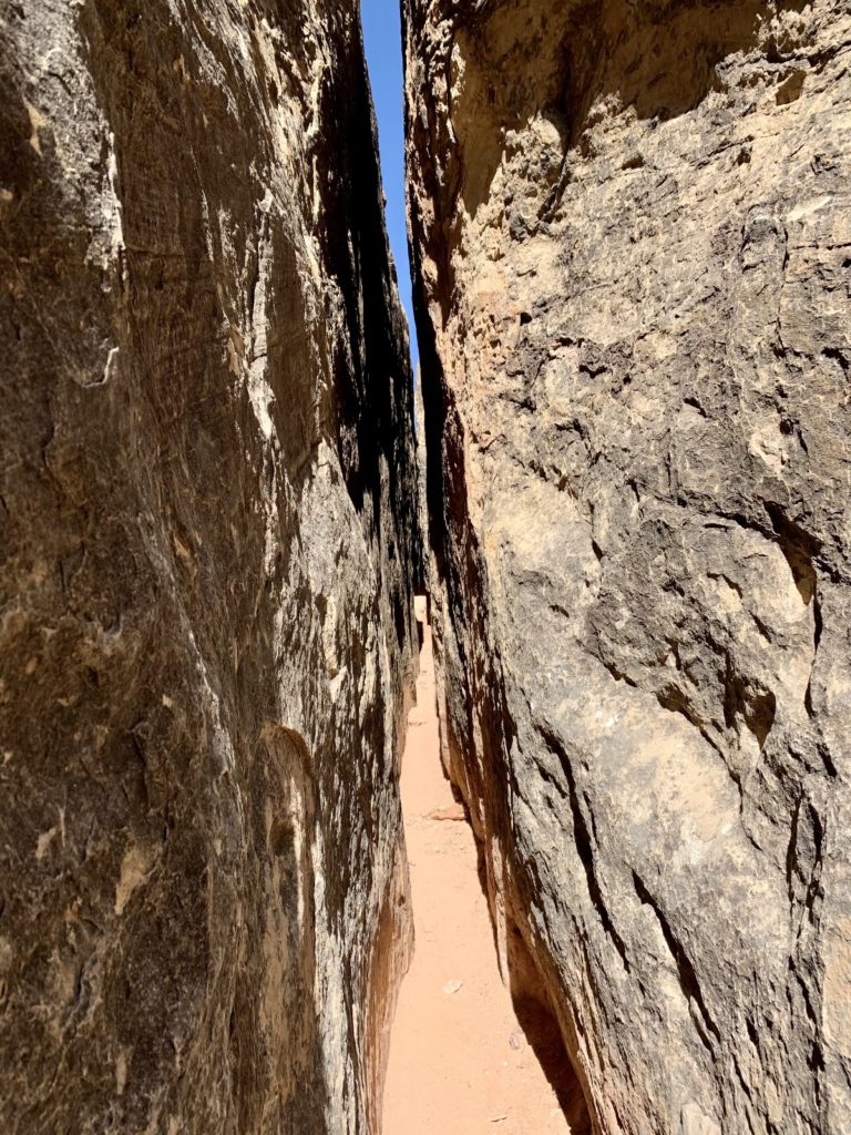
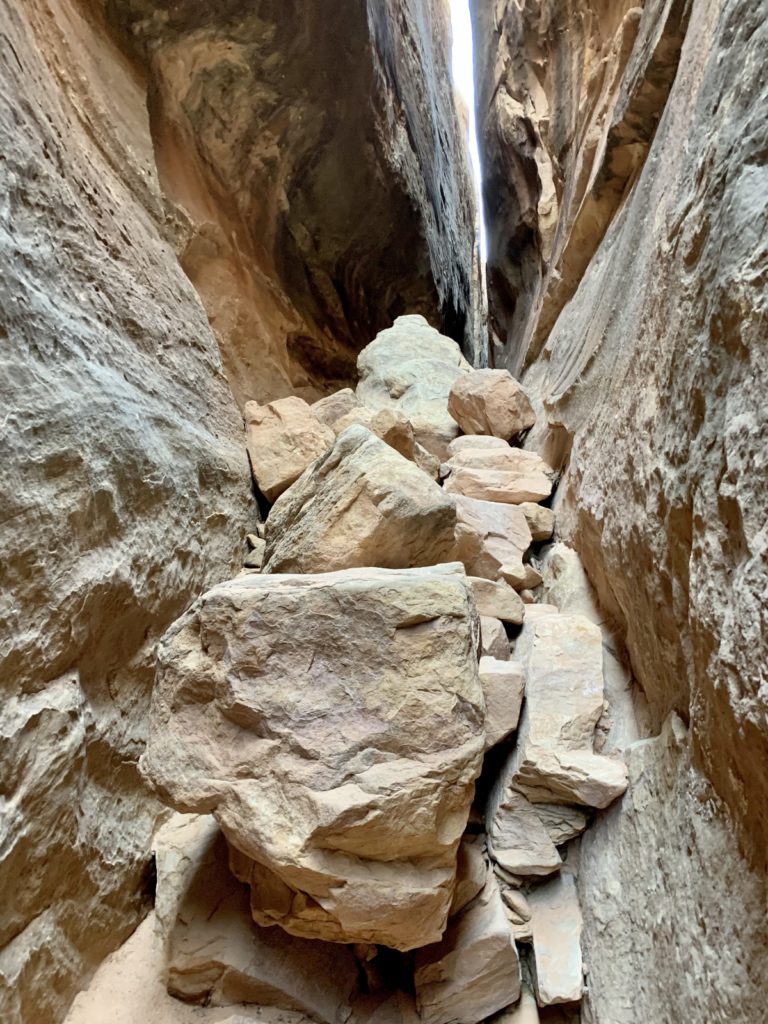
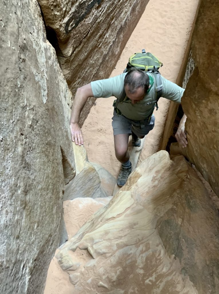
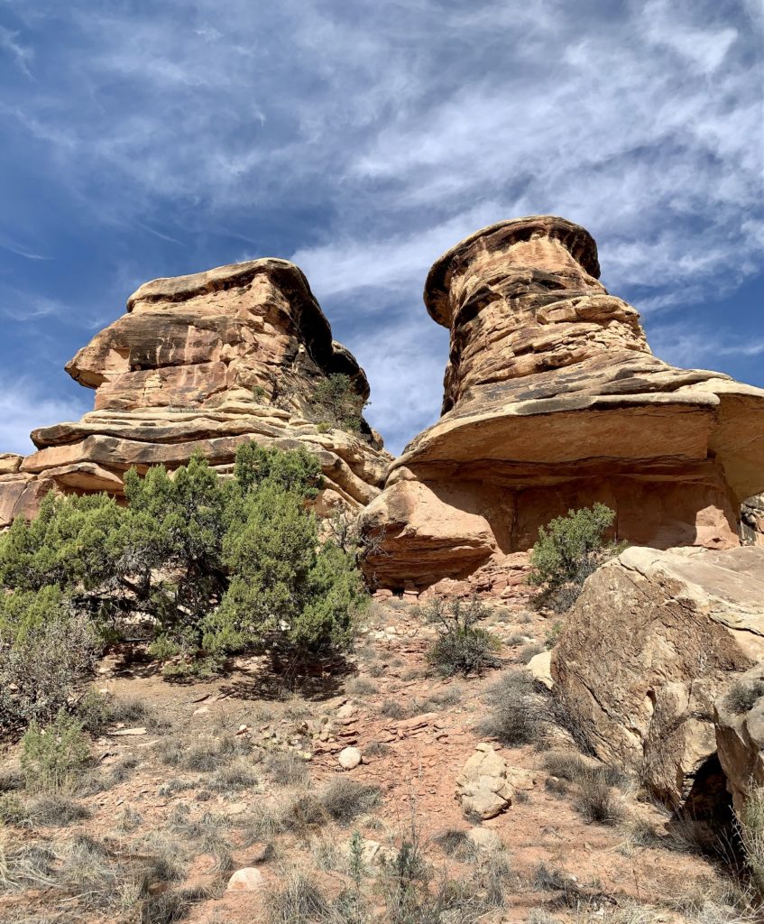
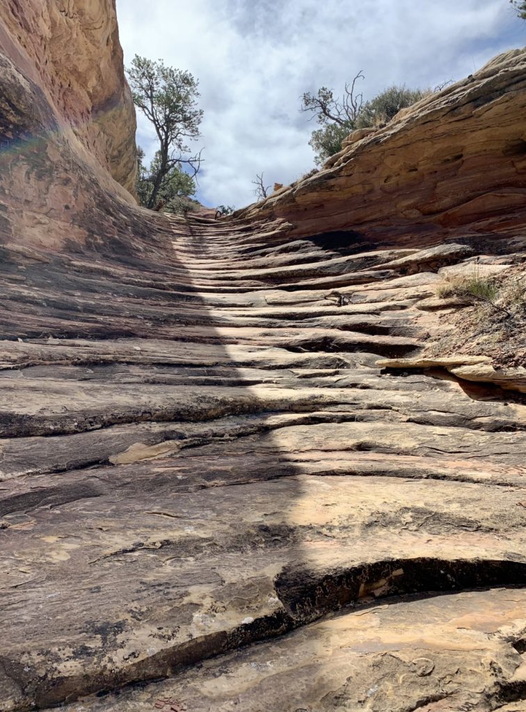
This hike is centered around Chesler Park, a massive grassy area with spires of colorful sandstone rising high into the sky. I’m a sucker for those colorful Needles formations; however, the Joint Trail is the real star of this route. The Joint is a section of trail that passes through a deep, narrow gap in the rock on the south side of Chesler Park. Unlike slot canyons that are carved by water, a joint occurs when the rock is stressed, causing it to fracture. The effect, however, is the same and we enjoyed the tight squeeze through the massive rock walls. Overall, hiking through the Joint was easy thanks to a generally flat and sandy bottom; however, there were two small rock falls to scramble over. One had a notched log to climb (very helpful) and the other was a relatively easy climb.
Trail tips: I recommend getting an early start in order to secure a parking spot at the relatively small Elephant Hill Trailhead. Chesler-Joint is without a doubt the most popular hike in The Needles District and Elephant Hill also serves as the trailhead for a few other hikes. We were there on a Thursday in early April and there were only a couple of parking spots available when we finished. Be sure to carry a copy of the park’s trail map which will help at the trail junctions. Take plenty of water and be advised that there isn’t much shade on this route. I consider this a ‘must do’ hike for anyone capable of covering 11.0 miles over uneven terrain.
Lost Canyon
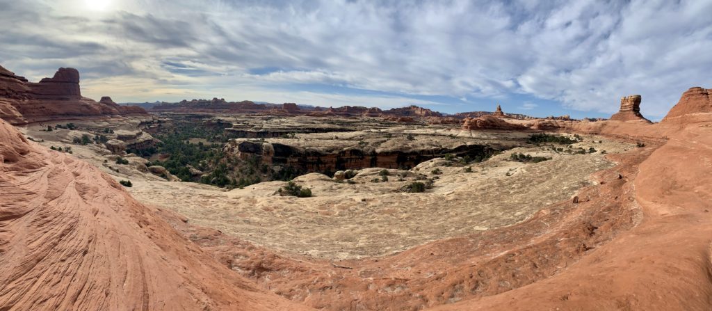
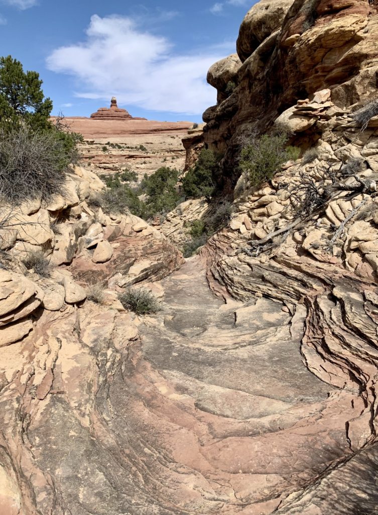
Our next hike was a 8.7 mile lollipop route to Lost Canyon. This trail begins at the Squaw Flat Trailhead located in the park’s campground. Outside of Salt Creek, Lost Canyon is the lushest canyon in The Needles District. There are some difficult sections of hiking between Lost and Squaw canyons, but the views make the effort worthwhile. We did this hike at the first of April and while we enjoyed it, it would be better much nicer a few weeks later after the trees have leafed out or in the fall as the cottonwoods are changing colors.
We did the loop section of this hike in a clockwise direction, although I think it would be fine in either direction. The trail traverses sandy washes, climbs steep sandstone ridges between the canyons, provides stunning views of the Needles formations and the snow covered La Sal Mountains in the distance, and takes you through a lush riparian area filled with happy birds. I’ve read that the trail through Lost Canyon is typically pretty wet and the vegetation dense, but conditions were quite dry during our visit.
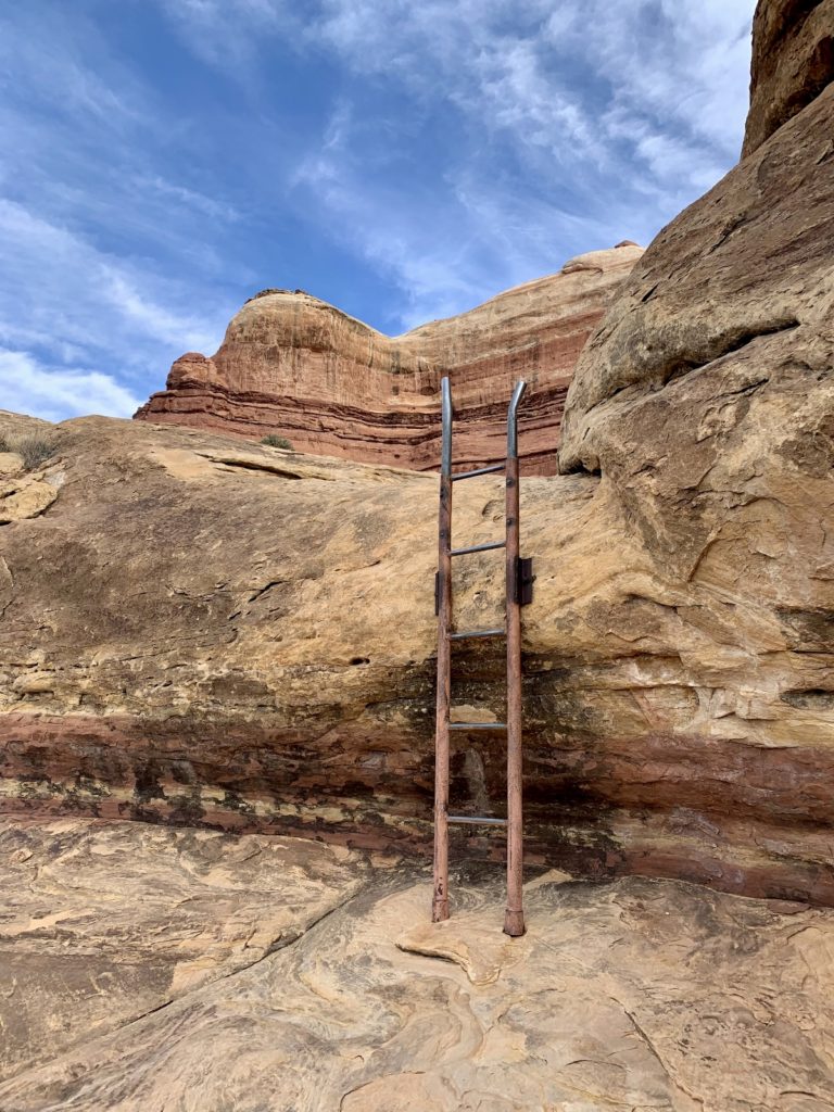
The most difficult sections of trail were those climbs and descents over the ridge between Squaw and Lost canyons. We had one ladder to negotiate and areas where we had to use our hands to negotiate over the rocks. Portions of the trail were over steep slickrock slopes and traversed ledges with some exposed drop-offs. None of the areas bothered us, but the trail is not recommended for those with a fear of heights. We met one backpacker who said it was at his limits and he was pretty uncomfortable in a few places. I do not recommend this hike when the slickrock is wet or icy.

Alternate hike: up for an even bigger adventure? If we were to hike this area again, we’d combine Big Spring, Squaw, and Lost canyons to form a 10.0 mile loop. We hiked the Big Spring – Squaw Canyon Loop back in 2017. That was an exceptional 7.7 mile loop, but by hiking just a couple miles more, you could add in Lost without missing too much in Squaw Canyon.
Related Posts
- 2021 Spring Adventures: Back on the Road!
- 2021 Spring Adventures: We Arrive in Moab
- 2021 Spring Adventures: Moab Area Explorations Continued
- 2021 Spring Adventures: More Needles Fun
- 2021 Spring Adventures: Hovenweep, Bears Ears, & Natural Bridges National Monuments
- 2021 Spring Adventures: Canyons of the San Rafael Reef
- 2021 Spring Adventures: That’s a Wrap!
- Canyonlands National Park Needles District
The Adventure Continues
Join us for our next post as we continue our adventures in the Needles District of Canyonlands National Park. And don’t forget to check out our Amazon RV and Adventure Gear recommendations. We only post products that we use and that meet the Evans Outdoor Adventures seal of approval. By accessing Amazon through our links and making any purchase, you get Amazon’s every day low pricing and they share a little with us. This helps us maintain this website and is much appreciated!
Hello,
Beautiful places!
That is a lot of hiking. I love reading books about adventures and this blog fits the bill 🙂
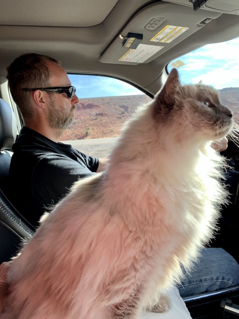
I love your feline!
Thank you Maggie. And Indy (our fluffy butt) thanks you as well! He is the real star of the blog 🙂
Happy Trails,
Lusha