December 9-13, 2019
photo credit: Nadine Timm
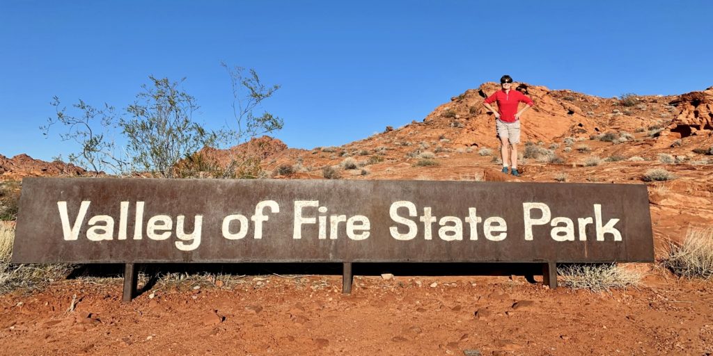
My #1 Nevada Bucket List Item
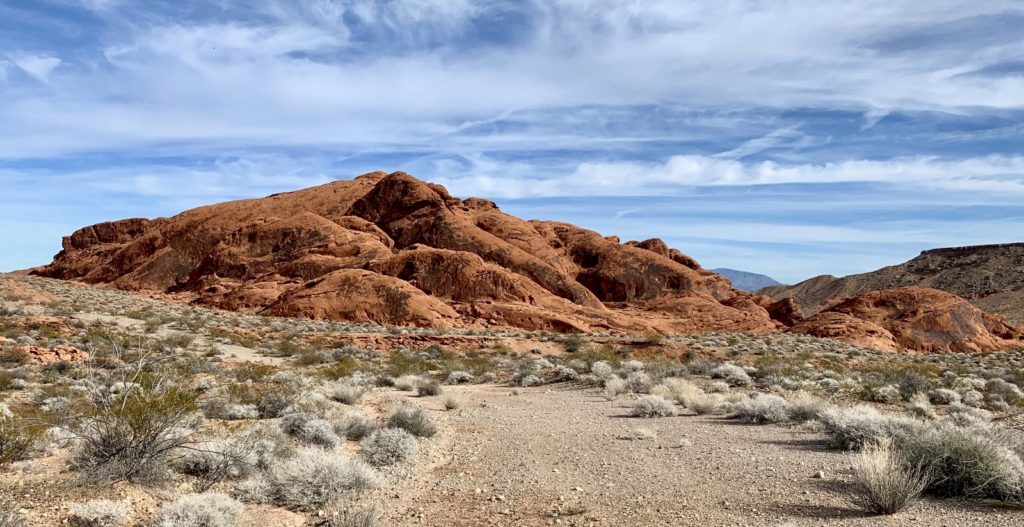
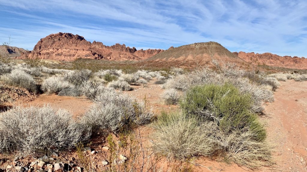
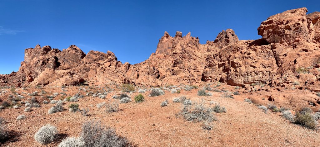
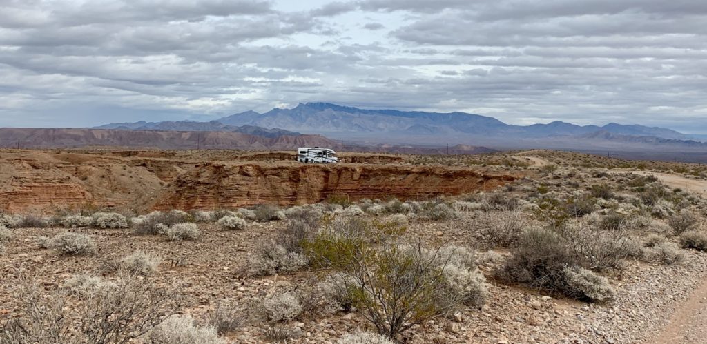
Valley of Fire (VOF) State Park has been my number one Nevada bucket list item for as long as I can remember. Just an hour from the bustle and neon lights of the Las Vegas Strip, this 40,000 acre red rock wonderland is a photographer and hiker’s dream. After moving from Hurricane, Utah, we found an epic boondocking site south of Overton, Nevada that was just a few minutes from Valley of Fire. We spent four days in the park visiting the highlights and hiking some of the lesser known trails.
Valley of Fire, A Brief History
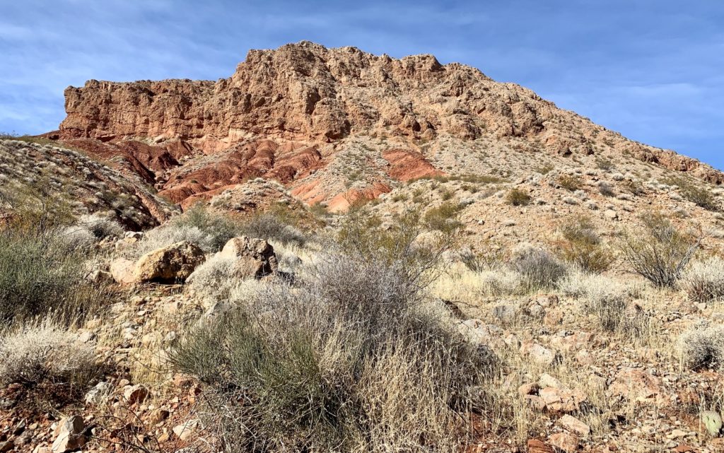
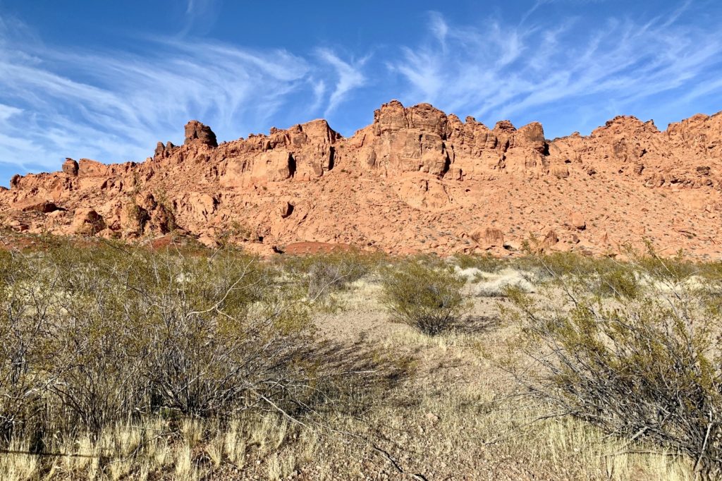
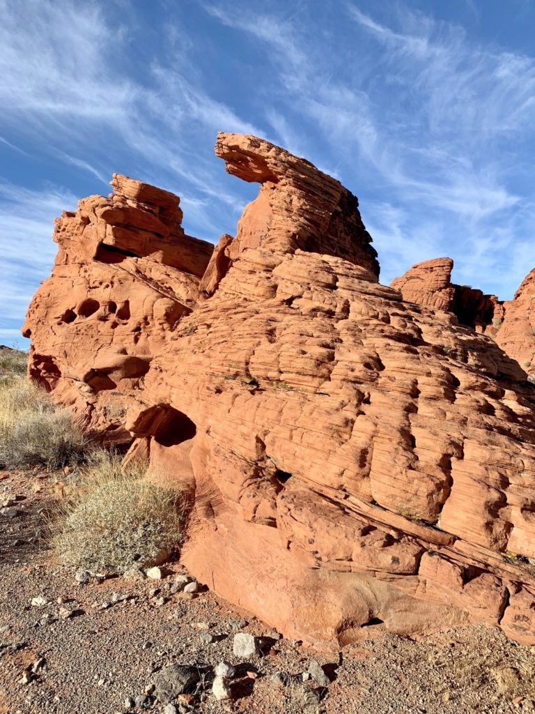
Valley of Fire consists of bright red Aztec sandstone outcrops nestled in gray and tan limestone mountains. Early man moved into southern Nevada as far back as 11,000 years ago. Paiutes were living in this area in 1865 when Mormons settled at nearby St. Thomas at the south end of the Moapa Valley. A rough road was built through this area in 1912 as part of the Arrowhead Trail, connecting Salt Lake City with Los Angeles. On Easter Sunday in 1934, Valley of Fire was formally opened as Nevada’s first state park. Since then, the park has grown to its present size of more than 40,000 acres of multi-colored rock displaying a varied array of shapes and textures.
Source: Valley of Fire State Park website
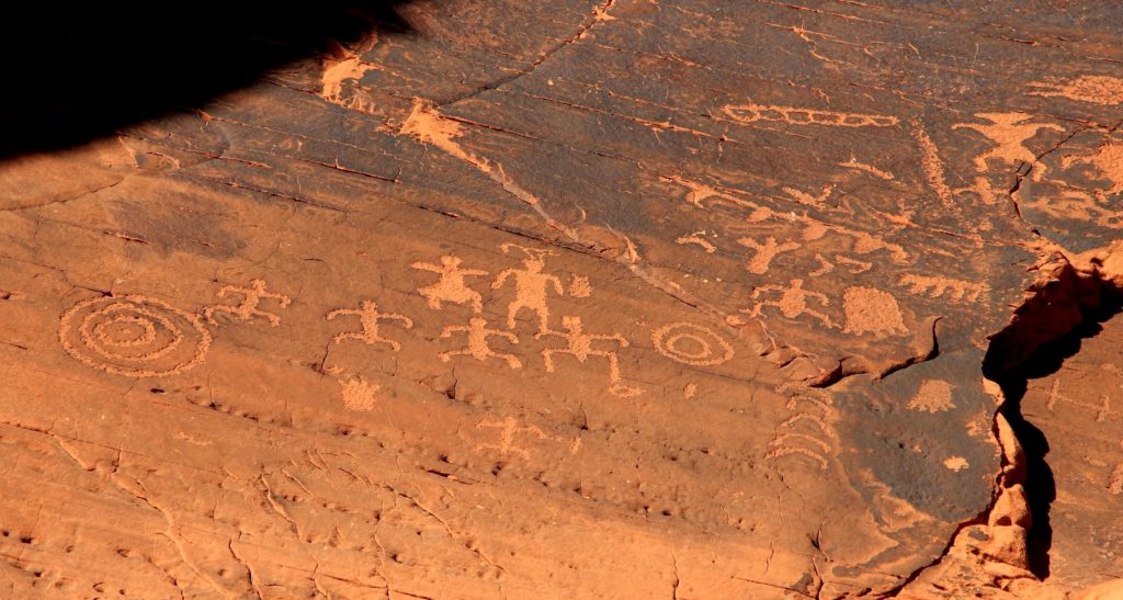
Mouse’s Tank Trail
Mouse’s Tank Trail (AKA Petroglyph Canyon Trail) is a short 0.75 mile hike through massive red sandstone formations to a scenic pool of rain water that collects in a sandstone basin. Along the way, hikers pass some of the best Native American rock art in VOF. The petroglyphs found here were etched into desert varnish, a dark layer of iron and manganese that leached from the rock. The tank is named for a Paiute Indian called Mouse who hid out in this area.
The trailhead begins off White Domes Road roughly a mile from the park visitor center. There is a nice picnic area on the opposite side of the road where you will find a nice rock art panel.
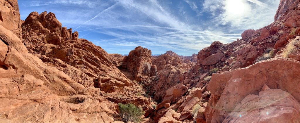
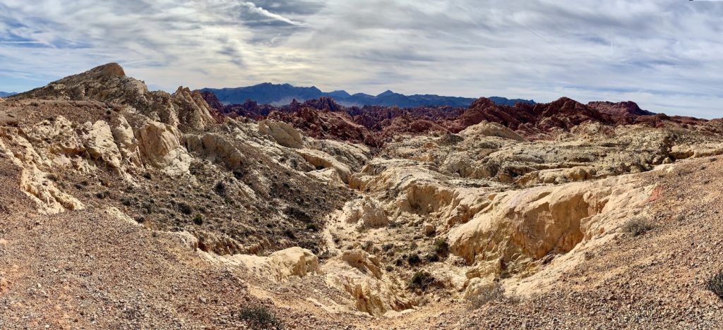
Rainbow Vista Trail to Fire Canyon Overlook
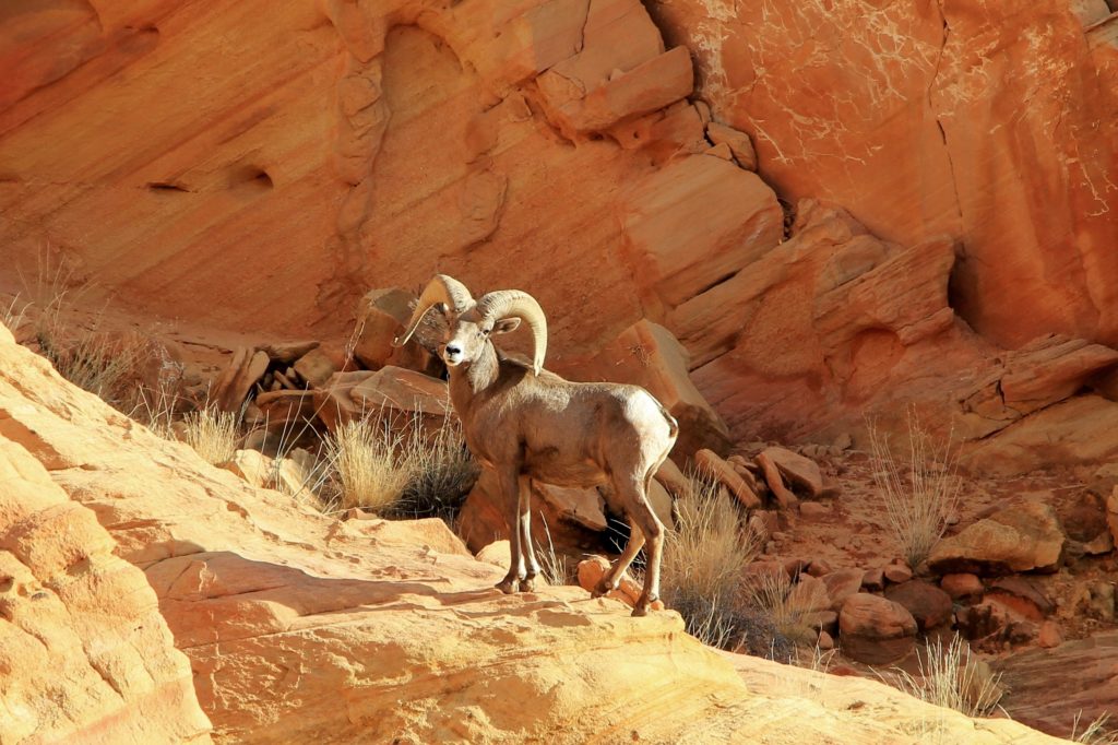
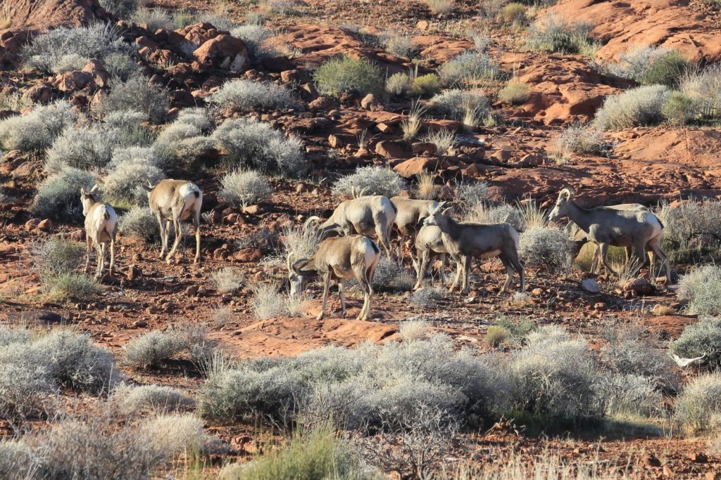
This was a nice 1.0 mile round trip lollipop trail through some interesting sandstone formations to an impressive overlook down into rugged Fire Canyon. The highlight of this hike was getting to see an impressive bighorn ram at relatively close range.
Bighorn sheep sightings are common in Valley of Fire. These are desert bighorn, a smaller subspecies than the Rocky Mountain Bighorn we have back home. If you drive the posted speed limit (35 mph in most areas) and keep your eyes open, you are likely to spot at least one group. We saw bighorn at least once every day while visiting VOF—on this day we were fortunate enough to have four sightings.
Off Trail Near Silica Dome
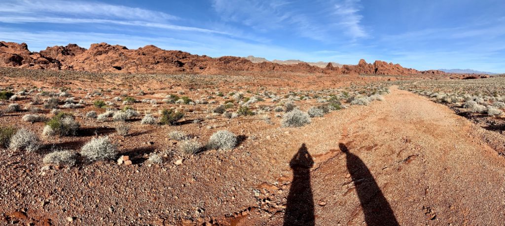
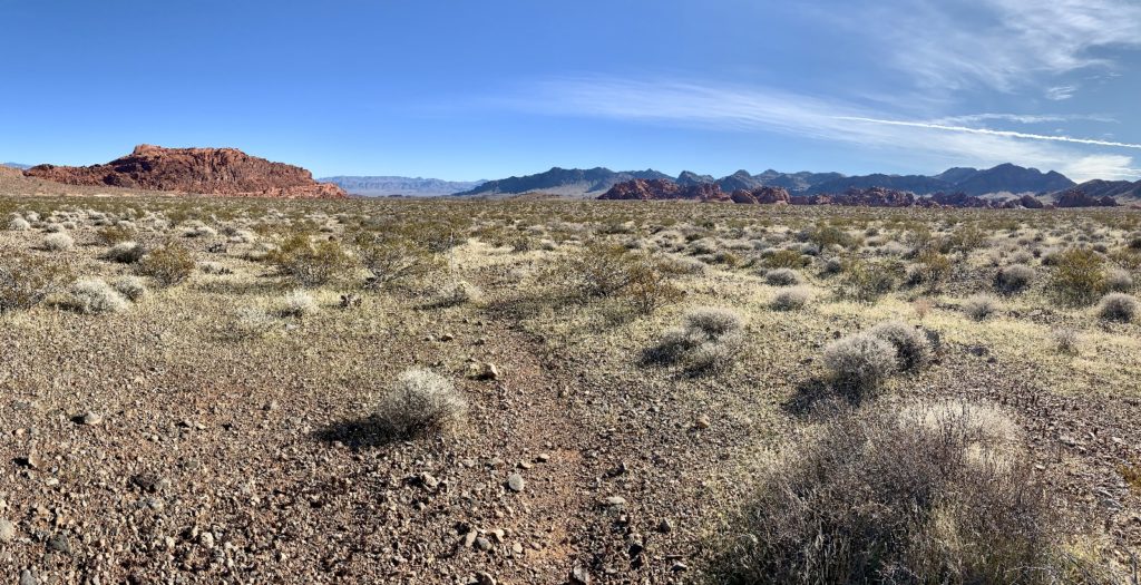
Just past the Rainbow Vista Trailhead on the White Dome Road is a short spur road that dead ends at a viewpoint overlooking Fire Canyon and Silica Dome. We left the VOF crowds behind and hiked east along an old dirt road that is now gated off. Nature is quickly reclaiming this land and at times it was hard to discern where the old road was. We had nice views to the east of Virgin Peak and the Moapa Valley as we walked through areas of red rock.
The highlight of this hike was leaving the old road and hiking off route along the SE edge of Silica Dome. We found an area of colorful rocks with interesting shapes and textures. We wandered just shy of 4.0 miles on this route and recommend this area for anyone seeking solitude in an otherwise busy park.
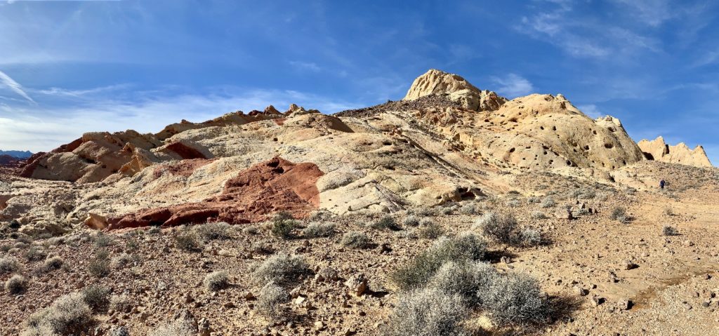
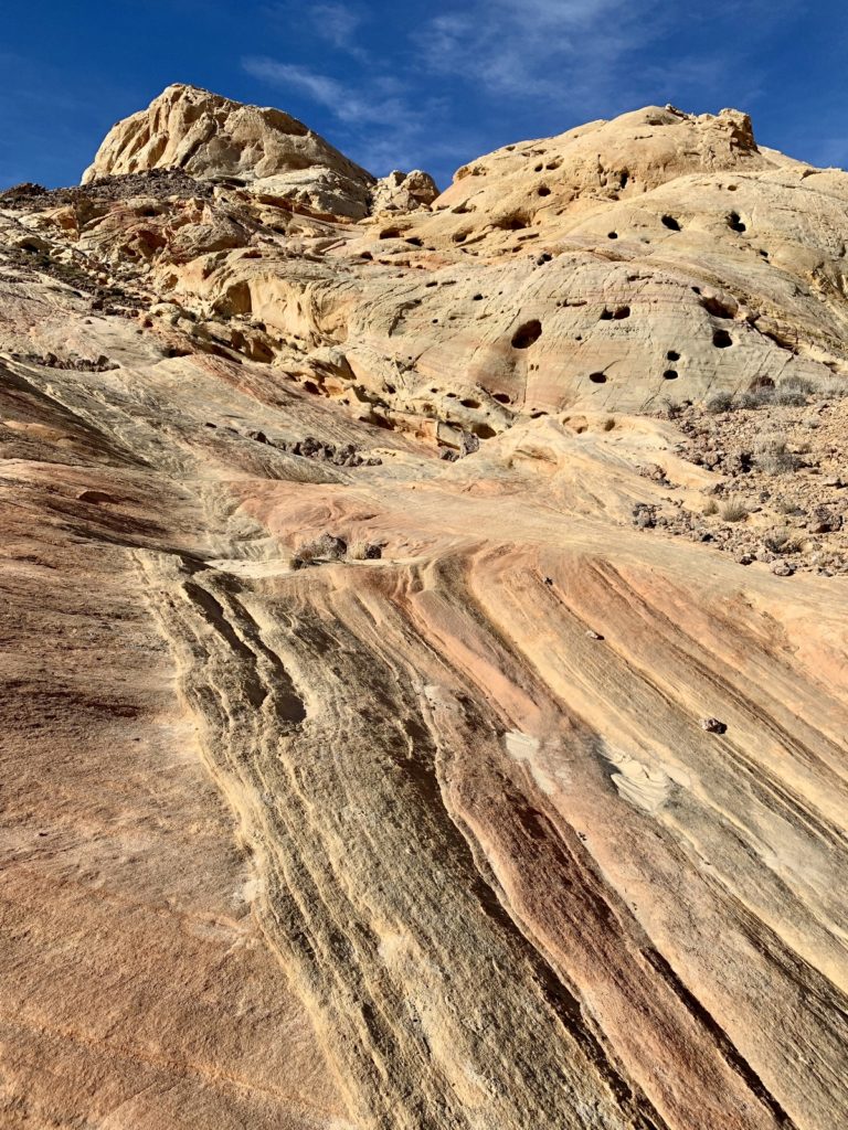
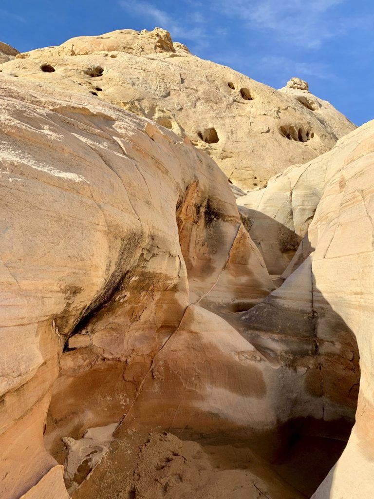
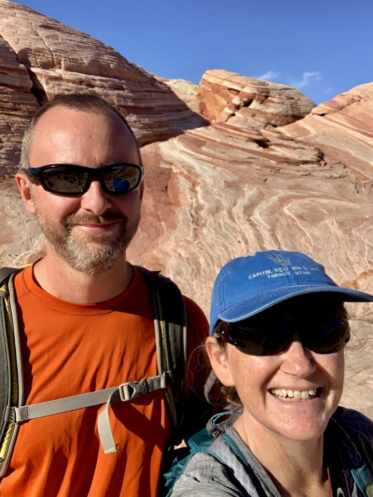
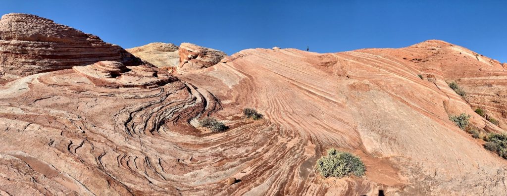
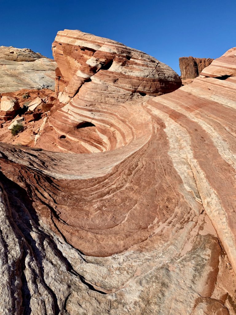
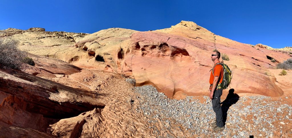
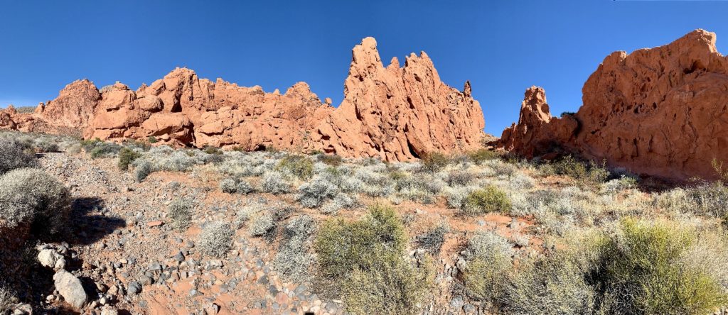
Fire Wave, Pastel Canyon, & Seven Wonders Loop
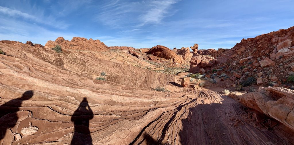
Fire Wave is one of the most popular hikes in Valley of Fire, especially with photographers who delight in the yellow, orange, pink, and red striped rocks. The trail begins at Parking Lot #3 on the White Domes Road. The 1.2 mile roundtrip hike begins in deep sand as the trail winds around massive Rock of Gibraltar. The trail then follows a cairned route up the colorfully-striped sandstone slopes to a viewpoint down into the Fire Wave.
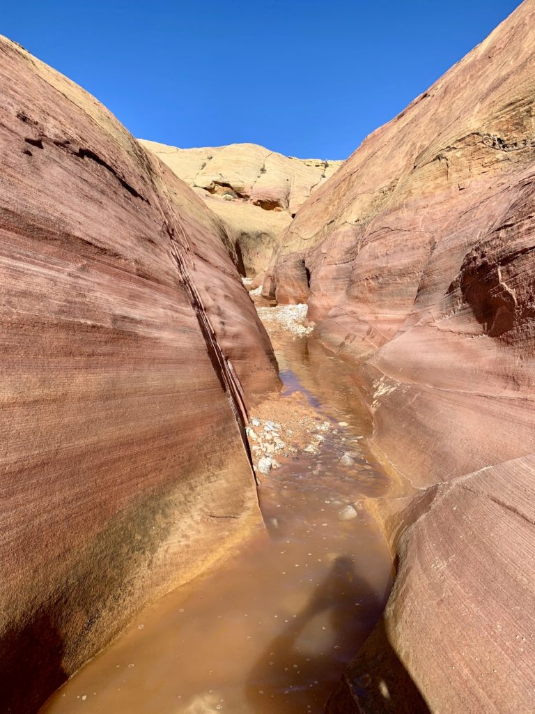
Most hikers return via the same trail. Thanks to the AllTrails app on my phone, we were able to continue downhill, past Fire Wave (the end of the official trail) into Pastel Canyon. We left all other hikers behind and followed the wash until its sandstone walls closed in and we were in a beautiful little slot canyon with beautiful pastel shades of pink and yellow.
At the end of Pastel Canyon, we crossed the White Domes Road and followed an unmarked route that AllTrails calls the Seven Wonders Trail. Seven Wonders is not an official trail and isn’t found on any park map that I’ve seen. I was only able to navigate our way thanks to this handy app that has become by favorite hiking aid. Seven Wonders lead us back to our Jeep at Parking Lot #3 for a 2.3 mile roundtrip hike.
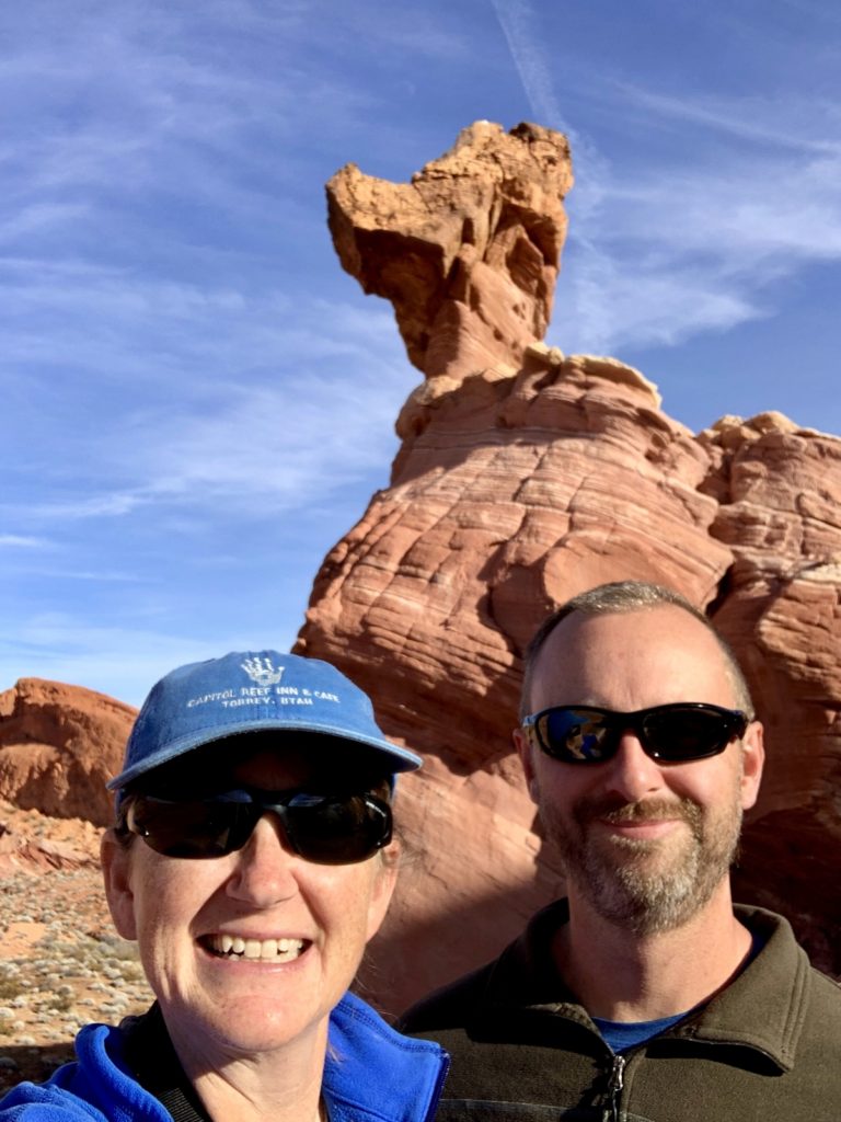
Duck Head Trail
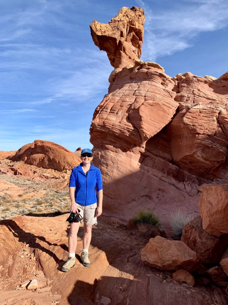
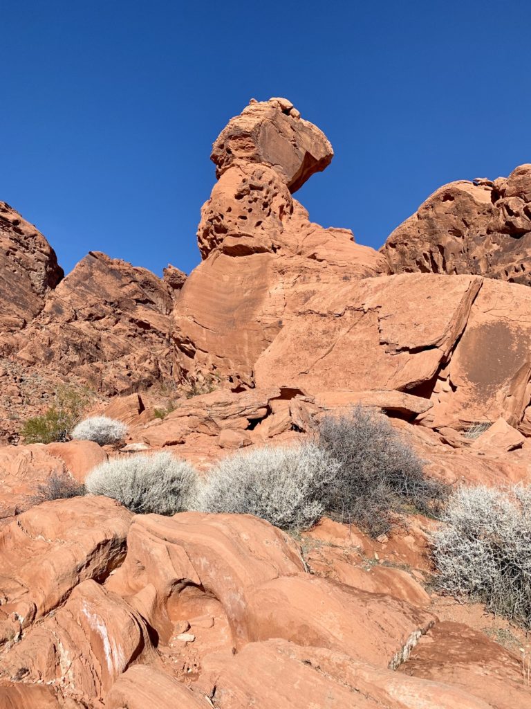
A fun little hike that isn’t shown on the official Valley of Fire map is the 1.5 route to Duck Rock. The trail begins at the northern most point of the White Domes Road, just past the trailhead for Fire Wave. There is no official trailhead or parking lot here, just a large pull out and a gated road. Follow the closed road to its end and then go off trail to the right a short distance. It blends into its surroundings well, but observant hikers will soon see the massive red rock that is shaped like a duck’s head.
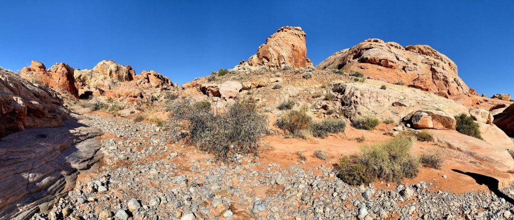
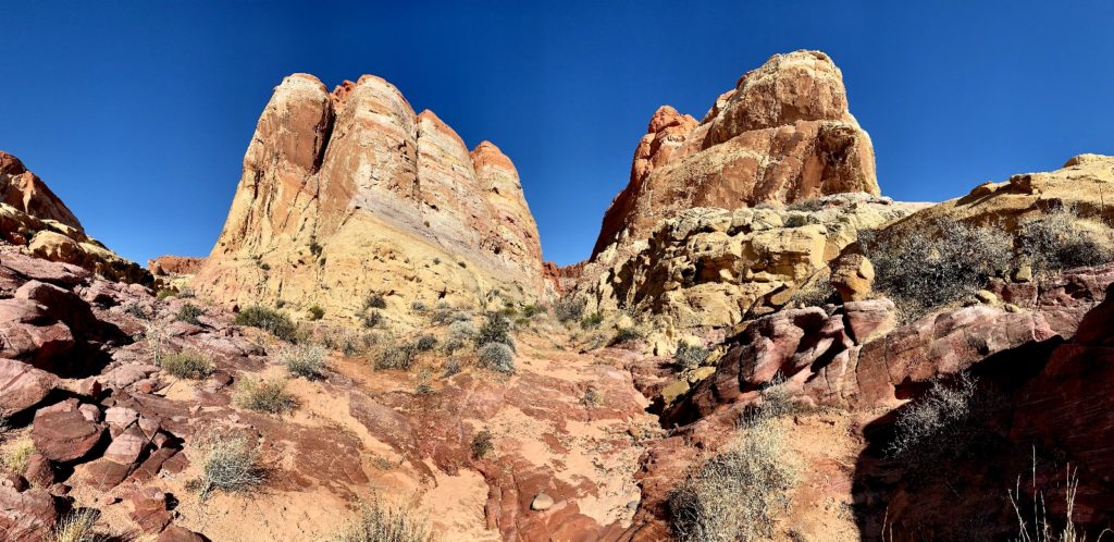
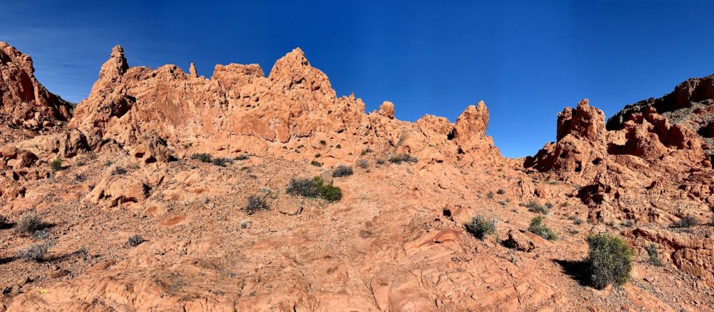
Pinnacles Loop Trail
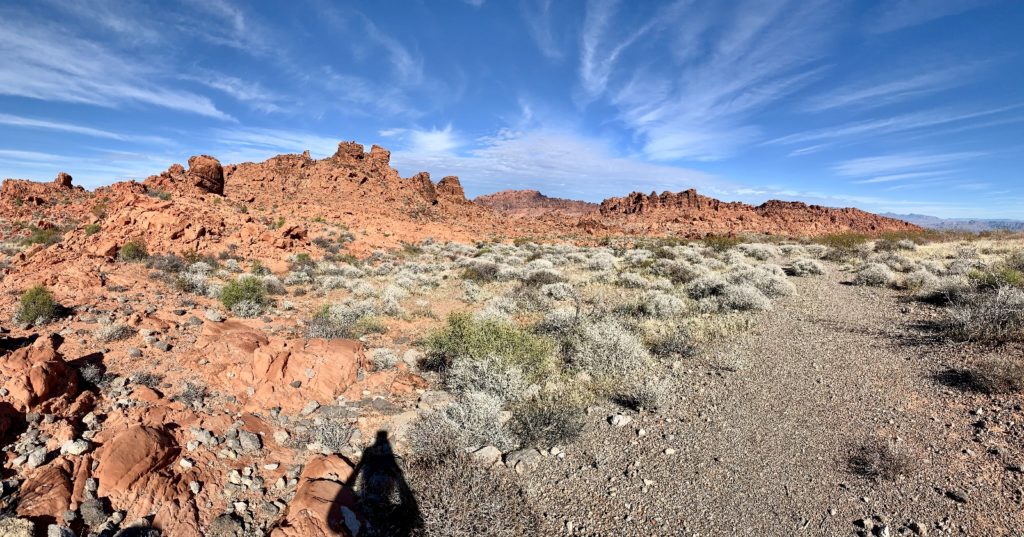
On the west side of Valley of Fire, near the campgrounds and famous Atlatl Rock, is a lonely trail that is ignored by the majority of park visitors. If you love zero people, desert landscapes, and red rock spires, the 5.0 mile Pinnacles Loop Trail is for you! This trail is shown on the official park map and while it is a marked route, inexperienced hikers may have difficulty finding their way through the desert terrain and maze of red rocks. I recommend the AllTrails app or basic route finding skills if you wish to hike this trail.
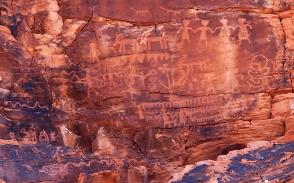
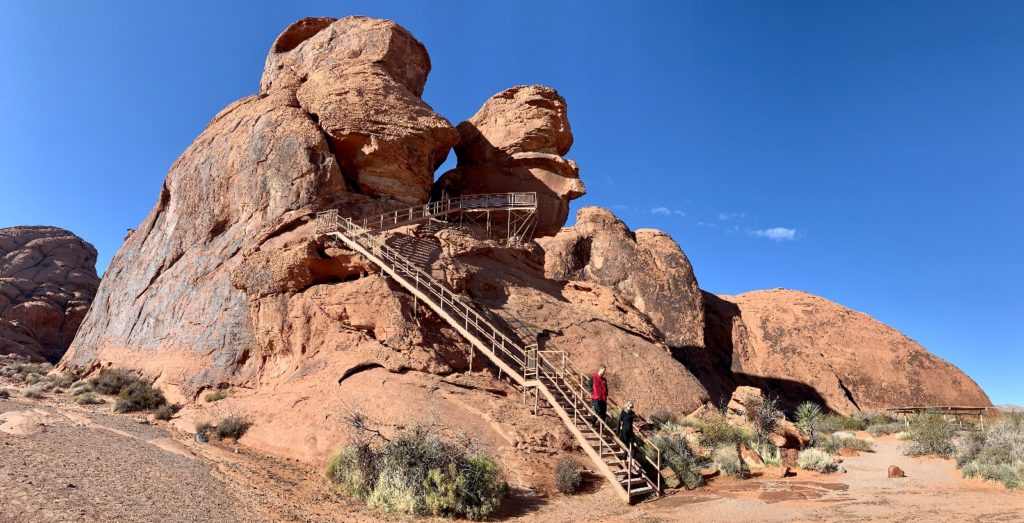
Pinnacles Trail begins across the road from the parking lot for Atlatl Rock. Atlatl Rock is perhaps the most popular stop for the casual tourist. After a short climb up a set of imposing looking steps, visitors can view an impressive rock art panel that includes an image of an atlatl (spear throwing lever).
At first, Pinnacles Loop doesn’t seem all that interesting. You leave the beautiful red rock behind and hike across a desert landscape toward a rather boring looking hill. At times you are on clear trail and then it seems to disappear in the shallow wash. A careful scan of the horizon will reveal trail markers, typically a small white post. Don’t worry, that boring looking hill up ahead hides an impressive set of massive red rock spires—the Pinnacles.
As the trail made its way around the benign looking hill we’d be hiking towards, we could see intriguing looking red rock ahead in the distance. Approaching the Pinnacles, we realized that we could hike right up the middle of them. There were a few cairns, but mostly you just kind of feel your way through the rocks. This was definitely the highlight of the hike. Near the end, it looked like we were coming to a rock wall and would be forced to turn around, but there was a side trail that climbed us up and out.
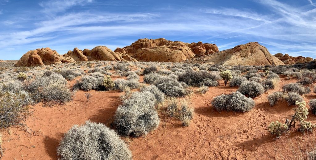
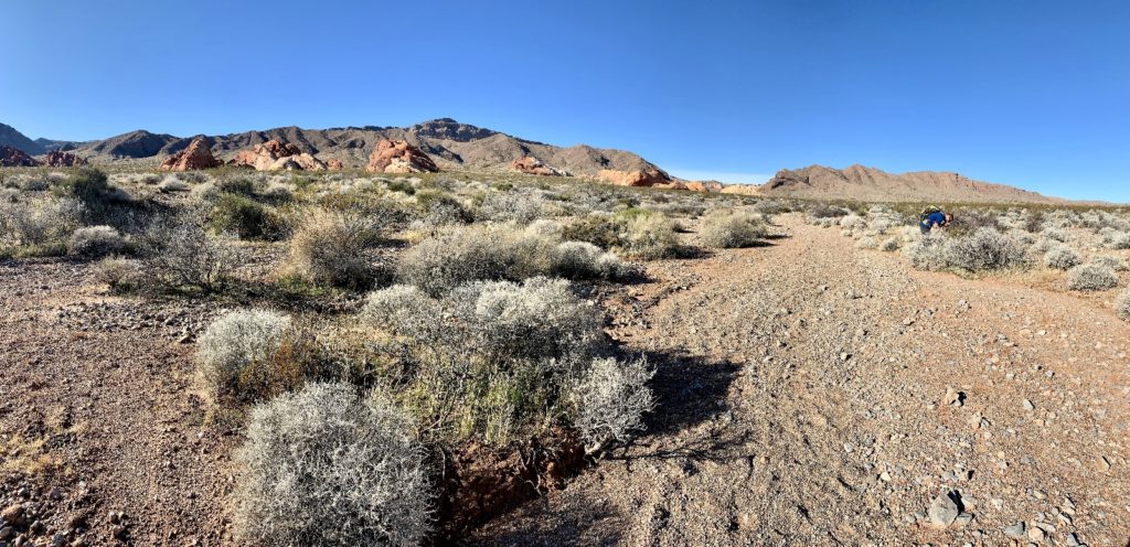
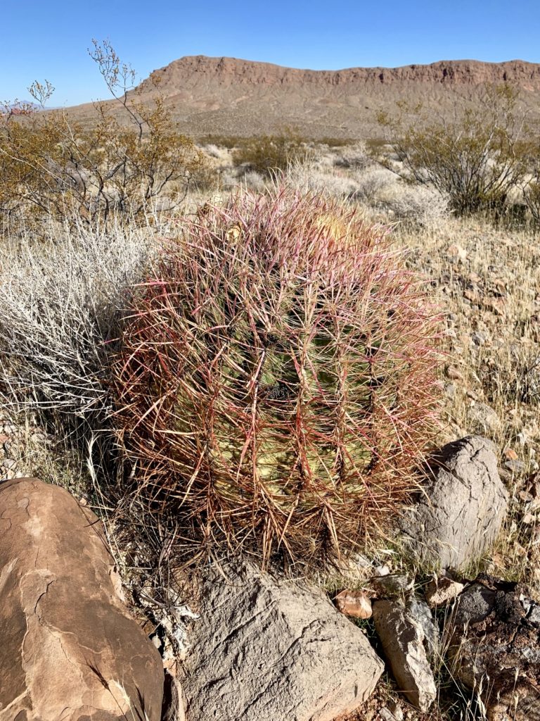
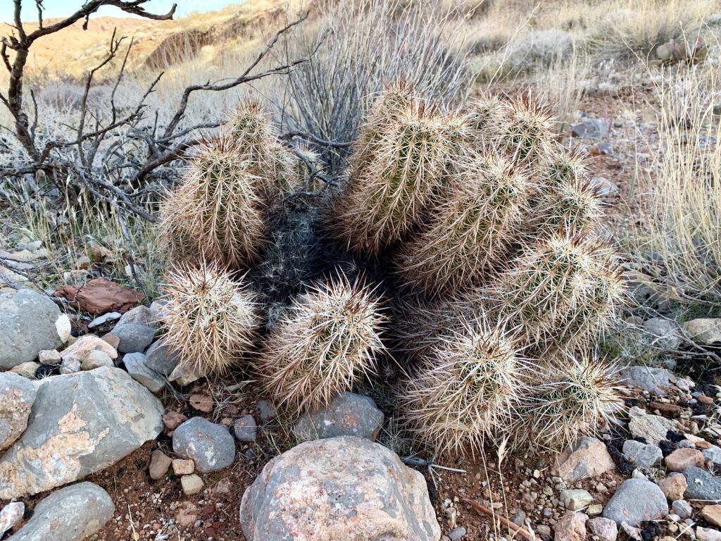
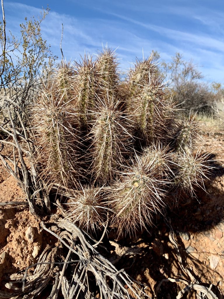
Leaving the Pinnacles behind, we followed a lovely wash for a distance before emerging back out into the desert landscape, Once again, we had to watch the horizon for trail markers. Over the next mile or so, we hiked through an impressive area of cactus, creosote, mistletoe, desert trumpet, and other desert flora. The area had received significant rainfall over the past couple weeks and the desert was thriving.
Old Arrowhead Road Trail
Another seldom hiked trail in Valley of Fire is the Old Arrowhead Road Trail. As the name implies, this is the actual Arrowhead Road that once connected Los Angeles and Salt Lake City. The desert has reclaimed most of the road, but a seven mile section has been preserved along the southern edge of VOF. It parallels the main park road from about 0.5 miles east of the west entrance all the way to the east entrance.
We hiked the first 2.5 miles of Arrowhead starting at the west side trailhead. Initially, you could tell this was originally a road, but soon it became a single track trail. At roughly 1.0 mile, we passed some nice red rocks on the left. The trail was not well maintained after that point and it was easy to go off route. The trail is marked periodically with arrowhead shaped signs and a scan of the horizon usually showed the next marker.
At about 1.5 miles, we crossed a large wash and climbed up the other side. The trail became increasingly more difficult to follow here. We were never at risk for getting lost, but we always try to stick to a worn trail in desert country so as not to damage the fragile plants. Eventually, we dropped back down into the wash and navigation became much easier.
We enjoyed our five mile rountrip hike along the Old Arrowhead Trail. We had the trail to ourselves and the views and flora were lovely. I think the trail would be even more interesting on the east side of the park.
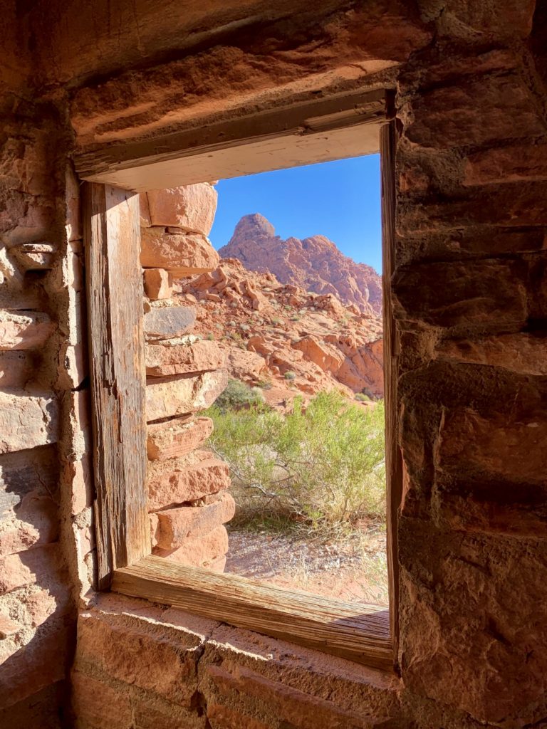
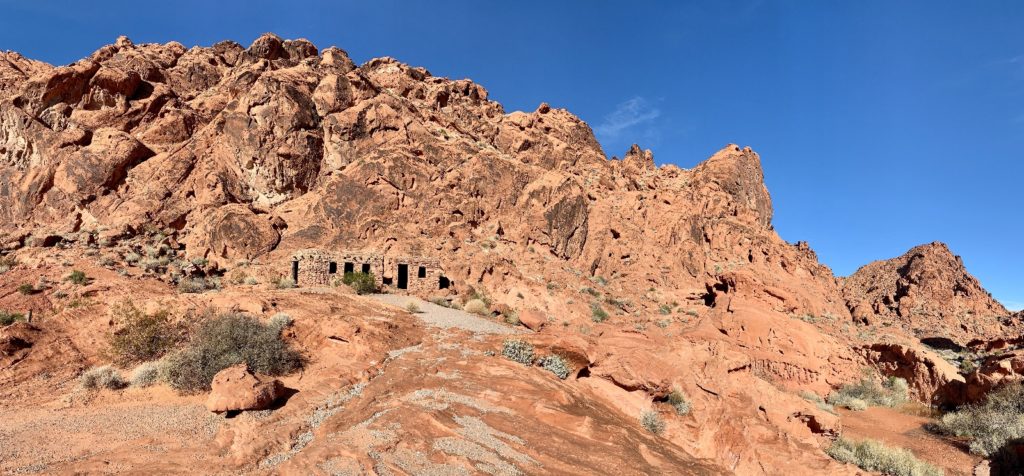
A Few Other Highlights
Valley of Fire State Park isn’t just for hikers. There are numerous viewpoints and pullouts that the casual tourist can enjoy. The park also has a nice visitor center with many interpretive and education displays—I highly recommend starting your visit there.

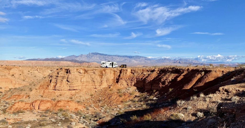
The Perfect Camp
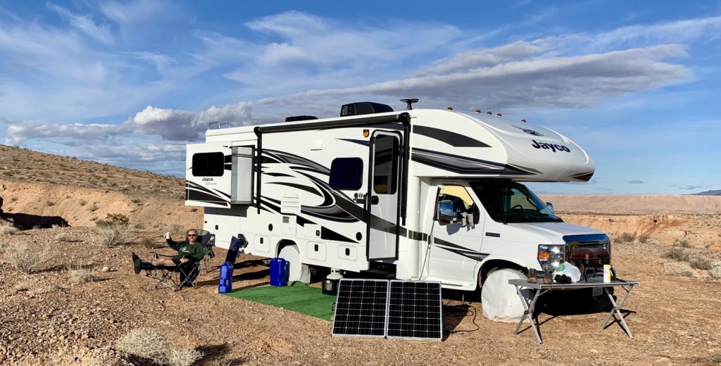
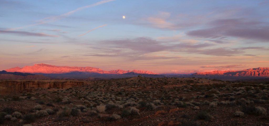
Our boondocking site east of Valley of Fire was one of our favorite places we’ve stayed in the RV. While nearby Snowbird Mesa was packed with RVs, we had solitude a short distance away on Sand Mine Road. We enjoyed several beautiful sunrises and sunsets and were treated to a beautiful full moon.
Your Support Helps!!
Are you enjoying being part of our adventure? Do you like what you see here? If so, please consider supporting this site by doing some of your online shopping here. We only post links to products that we use and that meet the Evans Outdoor Adventures seal of approval! Not interested in any of these items? No problem! By accessing Amazon through the links below and making any purchase, you get Amazon’s every day low pricing and they share a little with us. This helps us maintain Evans Outdoor Adventures and is much appreciated!
We can’t say enough good about our lithium batteries and portable solar panel. We believe these are “must haves” for anyone considering extended RV travels or full time RV living.
The Adventure Continues
Stay tuned next week for a guest appearance from our nephew Max! We see everything from Zion National Park in the snow to the Hoover Dam to the Vegas Strip all decorated up for Christmas.

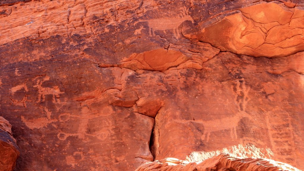
Beautiful pictures as usual! Do you know what caused the SWIRLS on the huge rock formations? Looks like they were liquid at one time and were beat with an electric beater!
Aren’t those colors and swirls beautiful?! I wish I could remember how all of that forms. I read the signs, but apparently I like looking at geological features but am not good at remembering much about them! Your description was perfect though, that is exactly what they look like!
Lusha
This is wonderful! I am bookmarking it forever in the hopes I’ll be able to go there too!
Thank you friend, I definitely had you in mind when I wrote this post! There will be a little more in the next post as well 🙂 When you visit, I highly recommend purchasing the map they have available in the gift shop inside the visitor center. It is $7 or $8 and is well worth the money. It shows the topo and trails in more detail.
Lusha
Okay! We’ll plan on doing that!