Unique pothole arches, stunning canyons, narrows, and rock art—Utah’s Escalante River at its finest
Distance: 22.5 miles round trip for the three day backpack described here
Type: out and back
Difficulty: moderate with 1,200′ elevation loss from Egypt to Escalante River, numerous river crossings for the route described here
Best season: spring and fall
Day two of our Neon and Choprock canyons backpack. While planning our trip, I fully anticipated that Neon Canyon and Golden Cathedral on day one would be the highlight of our trip—I was wrong. What we would see in Choprock Canyon on day two exceeded all my expectations. In fact, by the end of the day Jason would state, “this is the most beautiful thing I’ve seen in Utah”.
As usual, Jason and I were awake well before dawn. Apparently the ability to sleep past 4:00 a.m. disappears with age. We had coffee and breakfast under the stars on a cool 36 degree morning. Lisa and Yvonne joined us after daylight. Poor Yvonne looked rough—I had recovered from my migraine, but unfortunately it was her turn. She decided to stay back at camp while Lisa, Jason, and I explored Choprock Canyon. I had been enjoying Yvonne’s company, but I certainly understood.
Lisa, Jason, and I left camp around 8:00. It was a beautiful morning and we were excited about the adventure ahead. Just past camp, we made the first of three Escalante River crossings. The river was nether-region deep and it was a near vertical climb up onto the far bank. I don’t think Lisa or I could have made it ashore on our own. Fortunately we had Jason to help pull us up onto dry land. We turned north (upstream) and caught a nice hiker trail that ran along the cliffs.
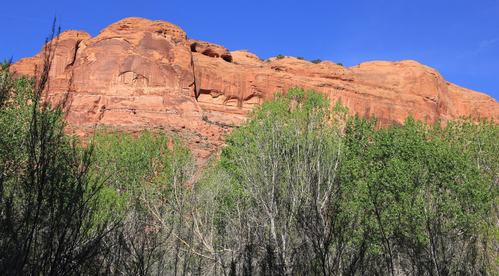
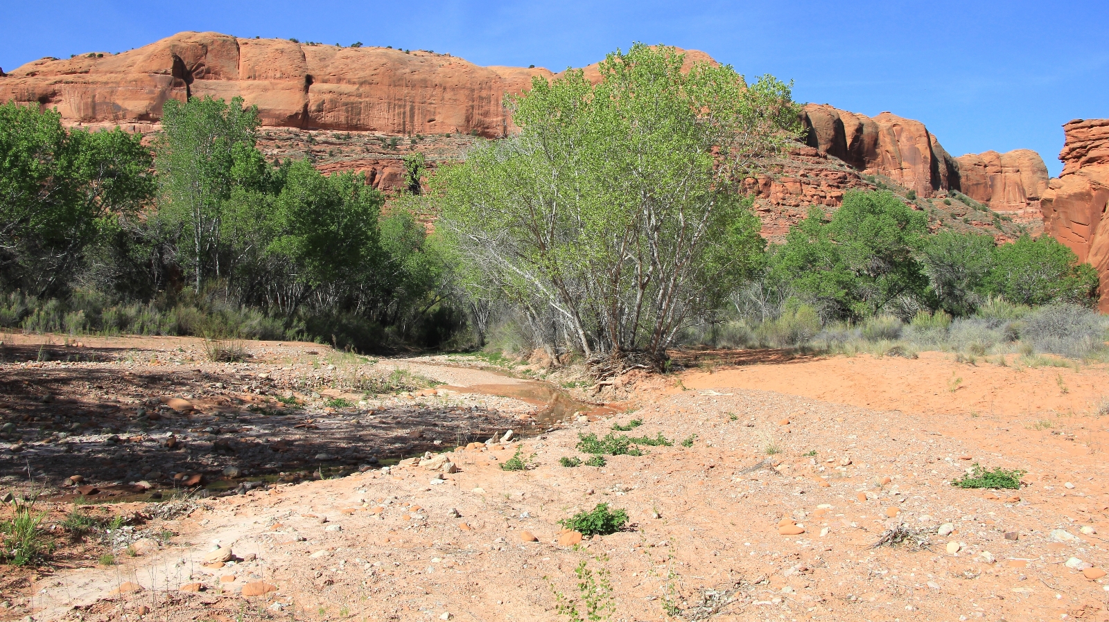
At about a mile up the Escalante, we made our second river crossing (to the west shore) and shortly after crossed back to the east shore where we found the confluence with Choprock Canyon. The canyon was broad here and there was a little stream flowing.
We began our exploration of Choprock Canyon by hiking along a bench on the north side. We were in search of a petroglyph panel that Lisa and I had heard about. It didn’t take us long to find the panel at the base of massive sandstone wall. Like the panel we saw on the way to Neon Canyon, this panel had bighorn sheep, a hunter scene, and bear prints.
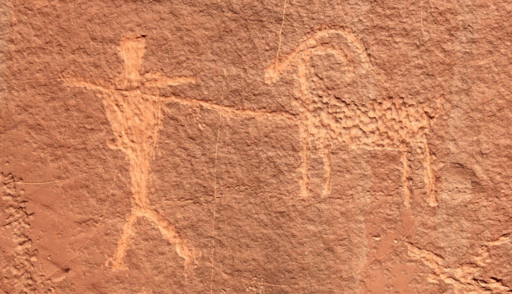
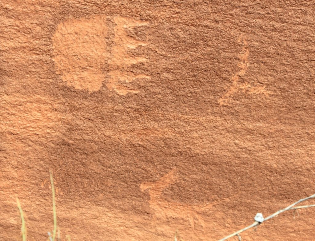
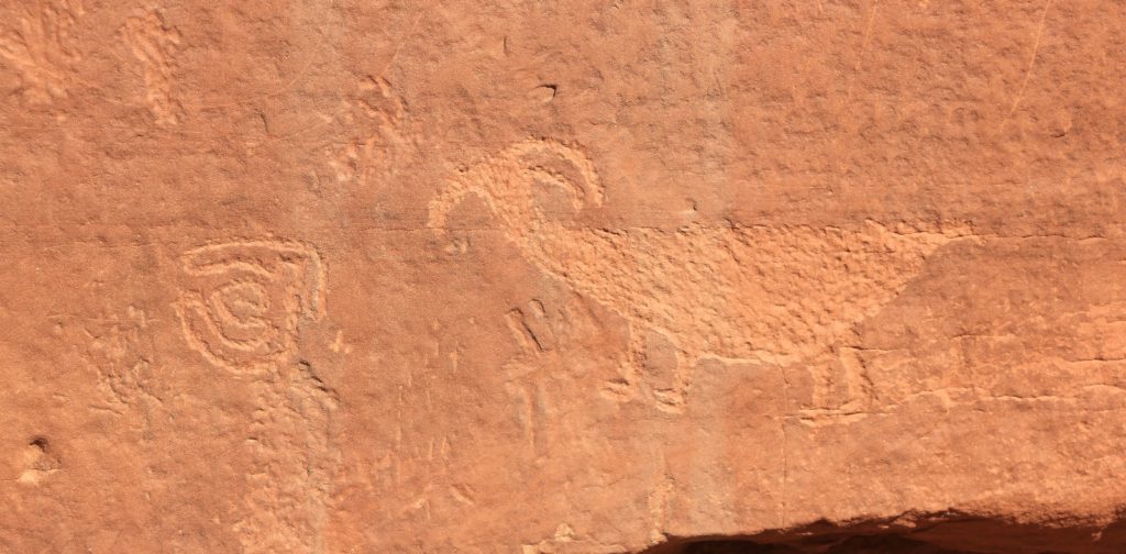
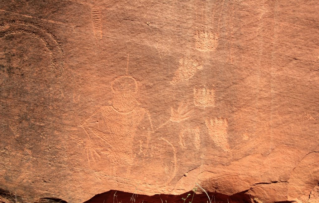
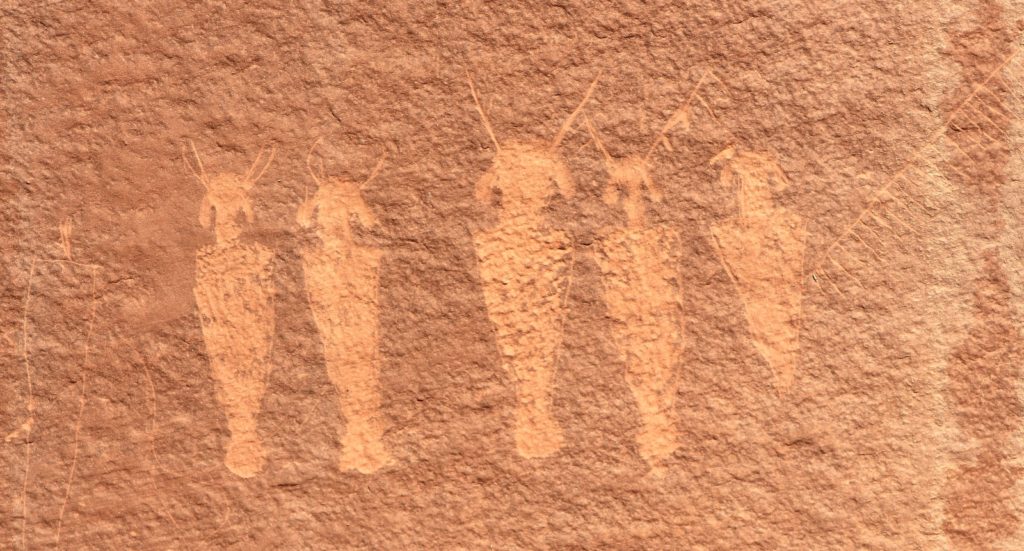
Leaving the panel, we worked our way down to the wash and continued up canyon.
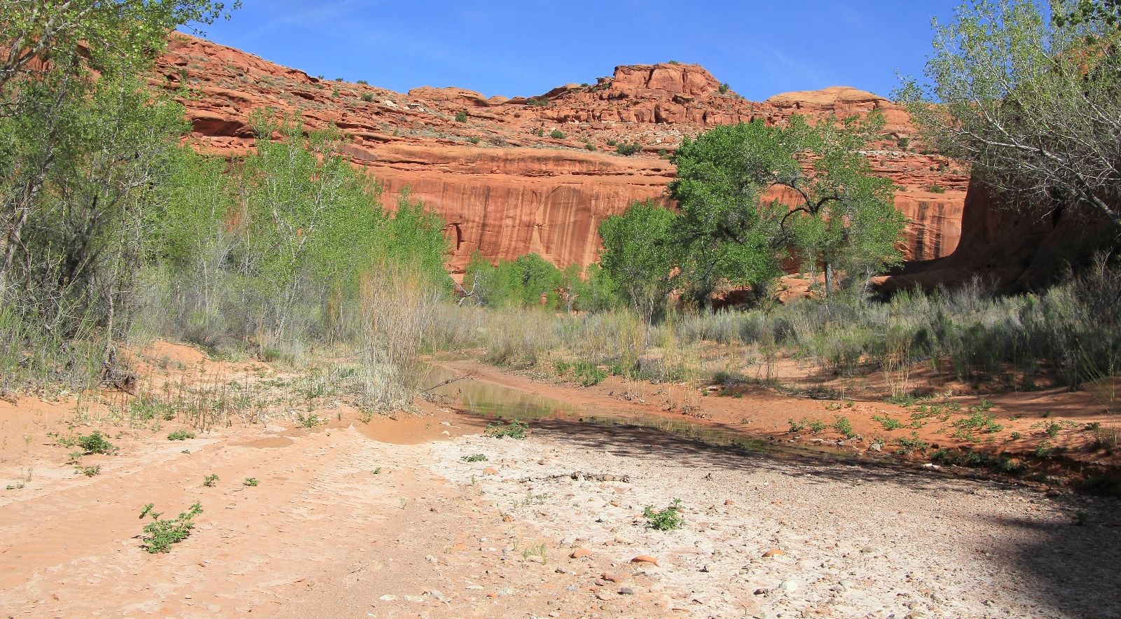
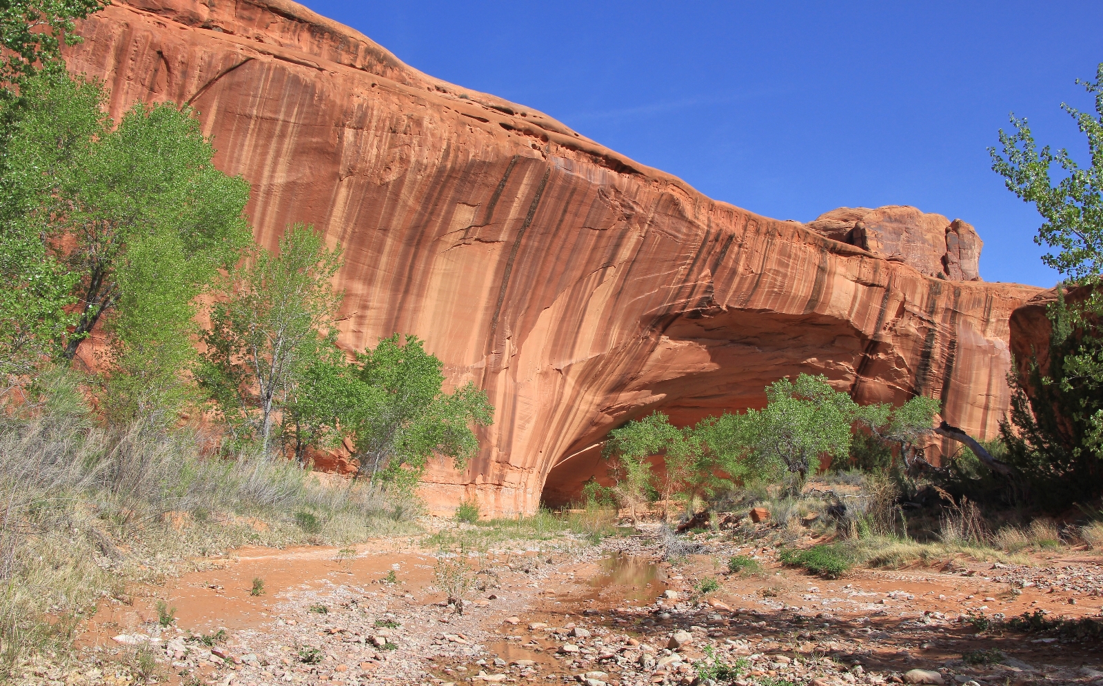
About 15-20 minutes later we came to a beautiful alcove. This lower stretch of the canyon had a surprising amount of water. I don’t know if Choprock always looks like that, but if so it would be a great place to spend a night.
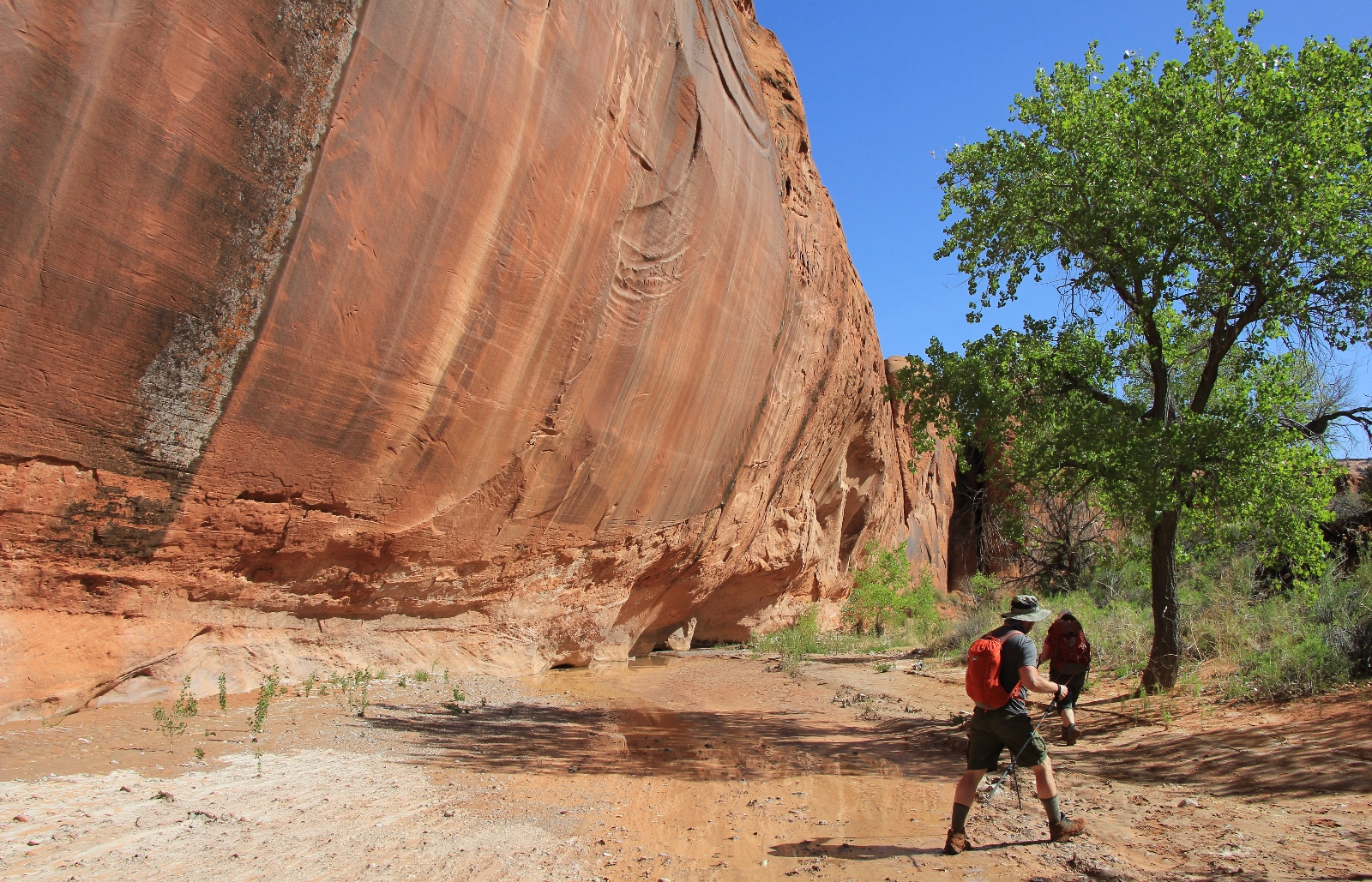
One of the more interesting finds was a couple pieces of petrified wood. Posing with a nice piece, Jason commented how heavy it was.
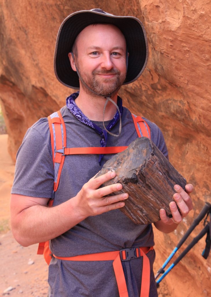
Over the next mile, we continued along the canyon bottom as it progressively narrowed. At times the surface was sandy and other times rocky, but the going was always easy. After passing the south fork on the right, the canyon quickly began to slot up. Soon we had towering cliff walls rising above us and we were in the narrows.
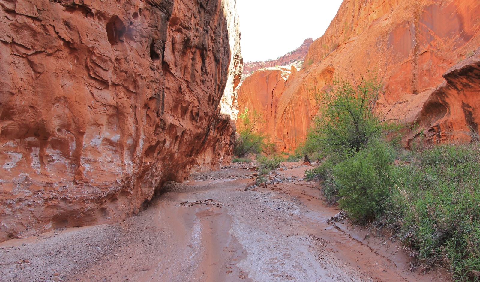
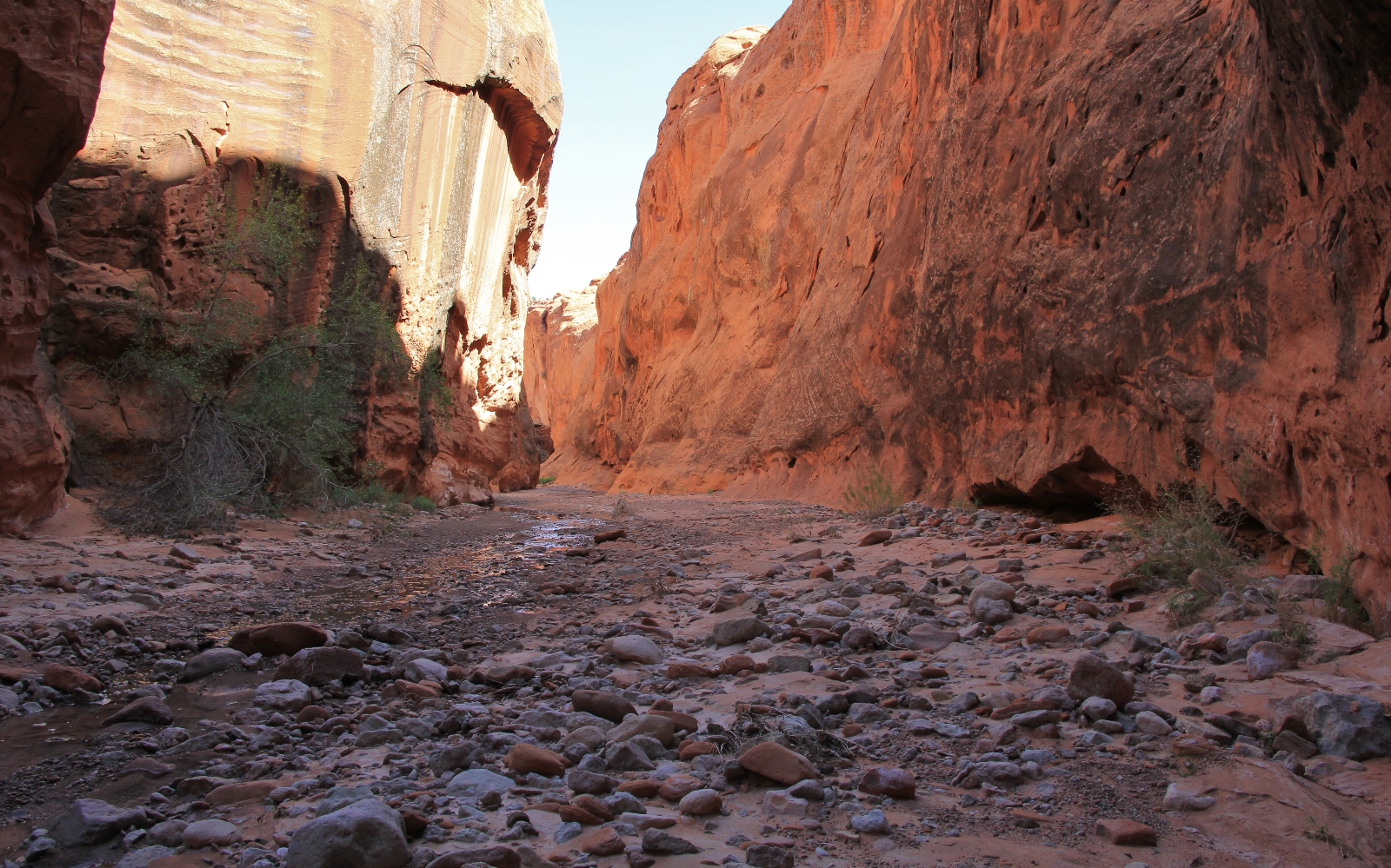
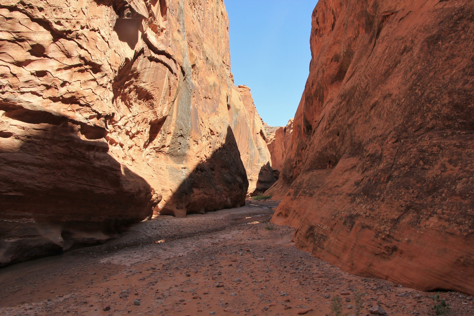

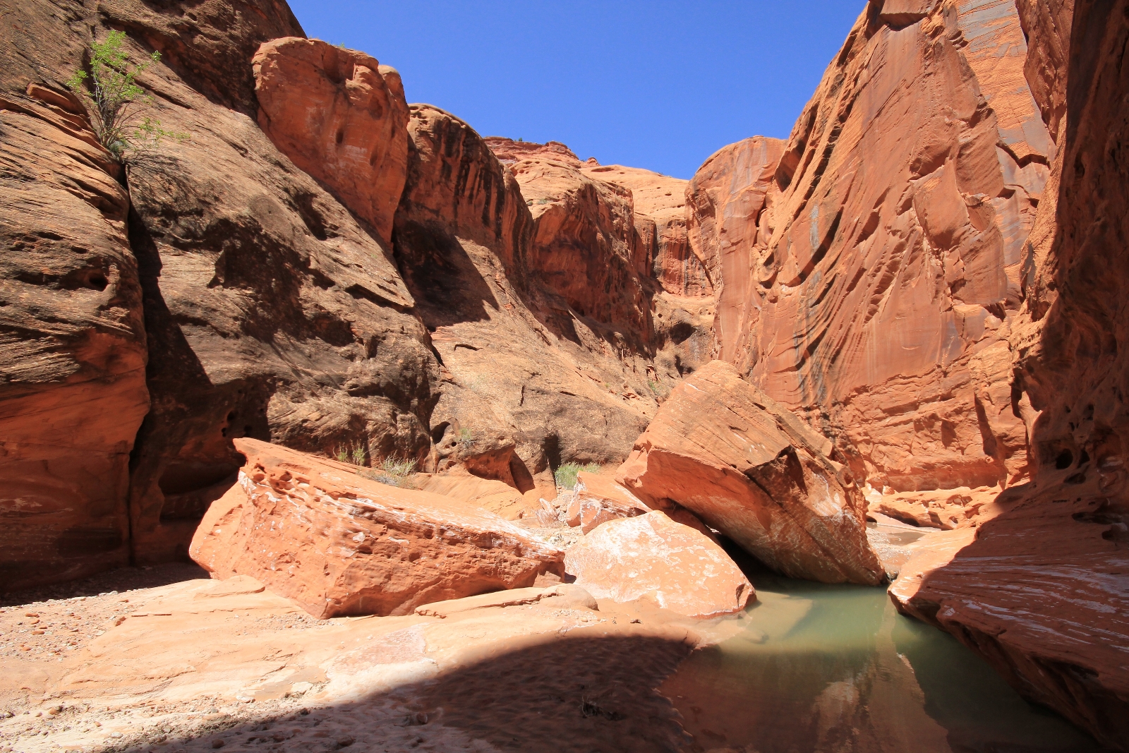
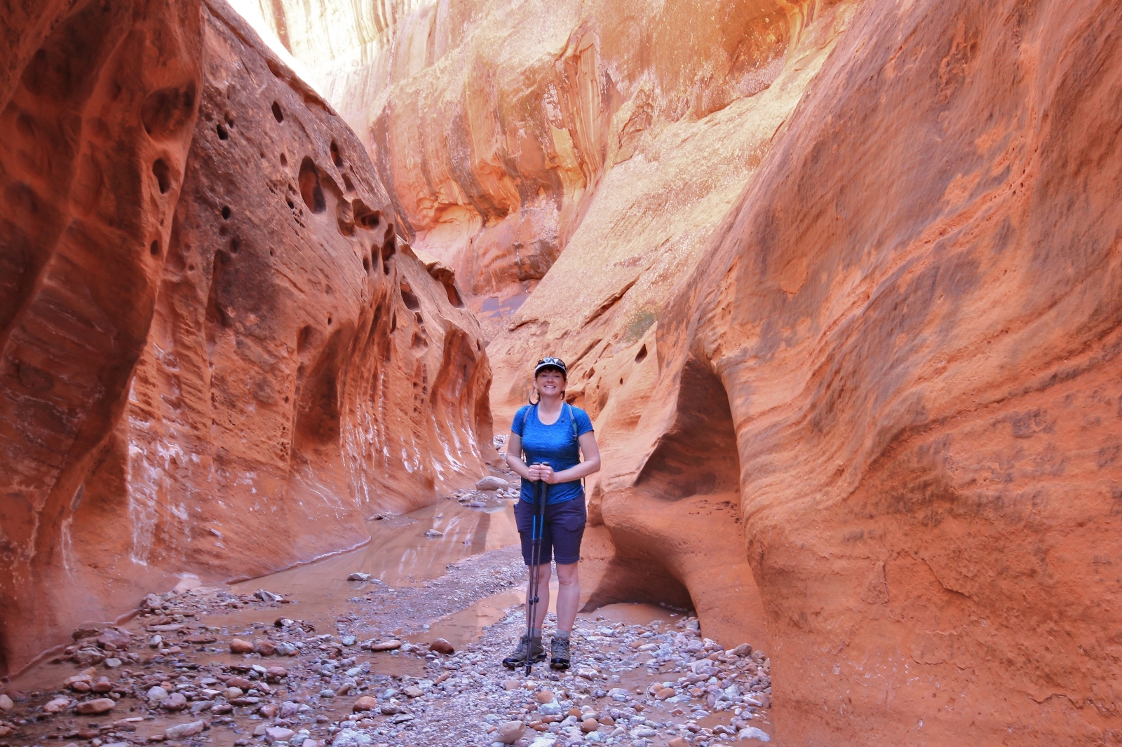
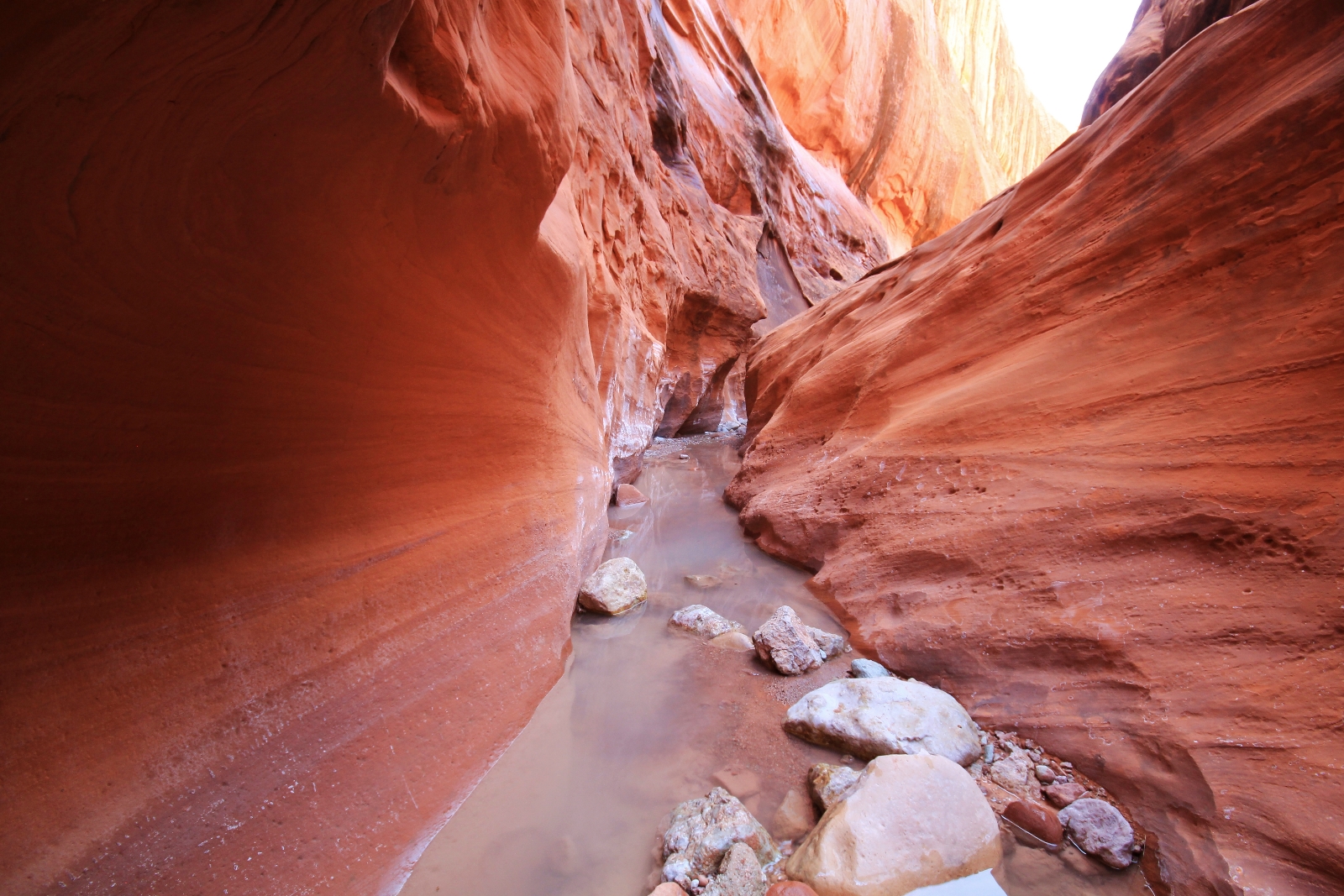
Hiking up the narrows over the next few hours was one of the highlights of our hiking career. No photos or words could do justice to the sculpted beauty of the colorful canyon. At times the canyon was only about five feet wide and the walls so wavy that we couldn’t see the sky above us. It was a world unlike any other we had ever experienced. With each bend in the canyon we were afraid it would come to an end, but it didn’t. The narrows kept going and going.
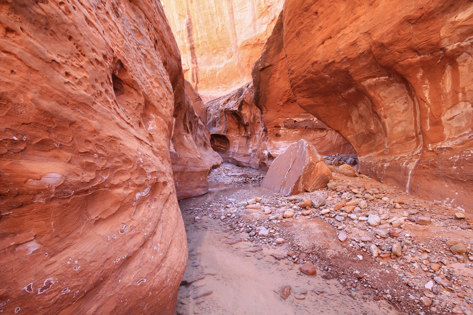
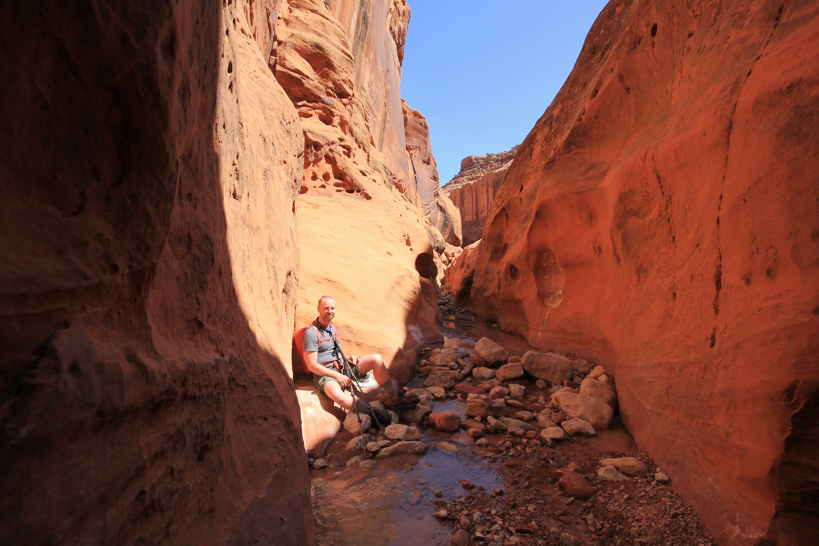
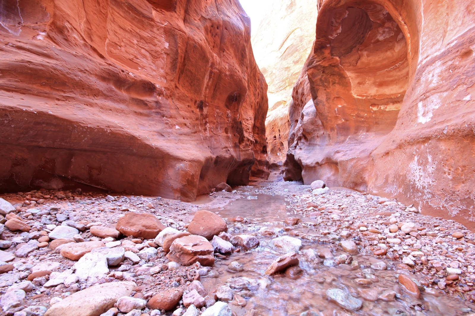
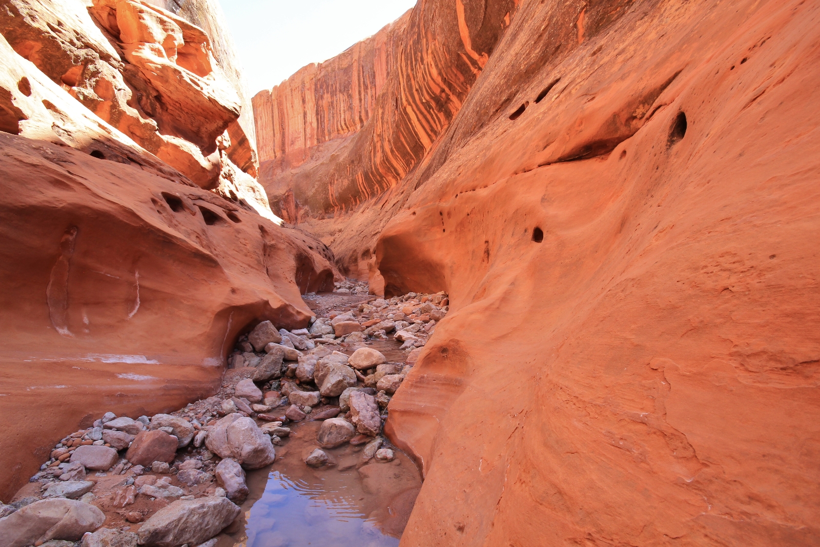
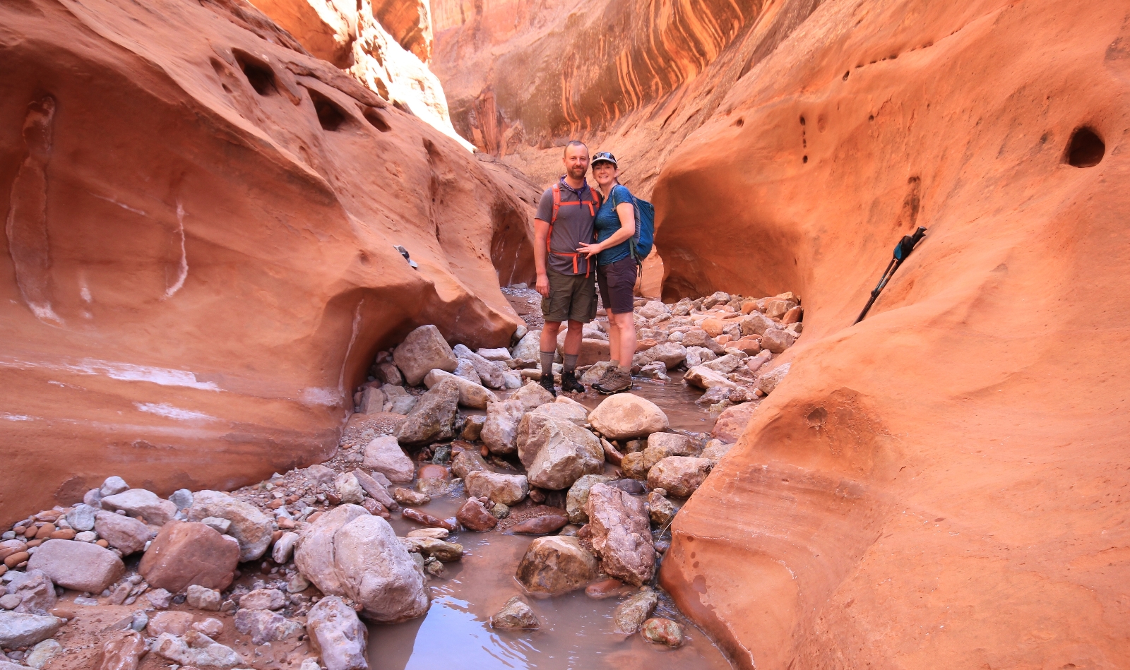
Our progress was slow as we found one photo opportunity after another. We were continually in the water and negotiating a rocky canyon bottom which further slowed our pace as we carefully picked each step.
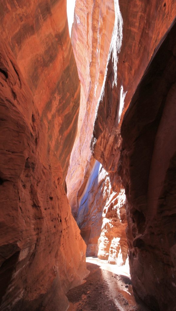
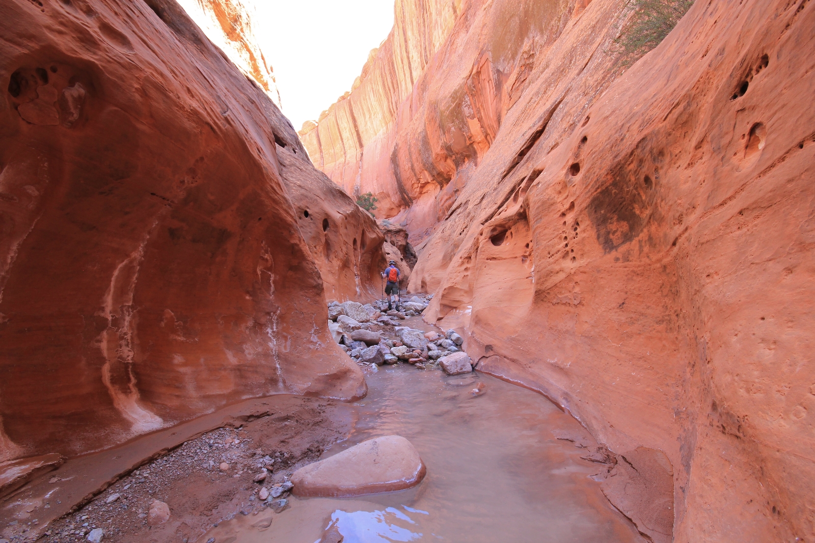
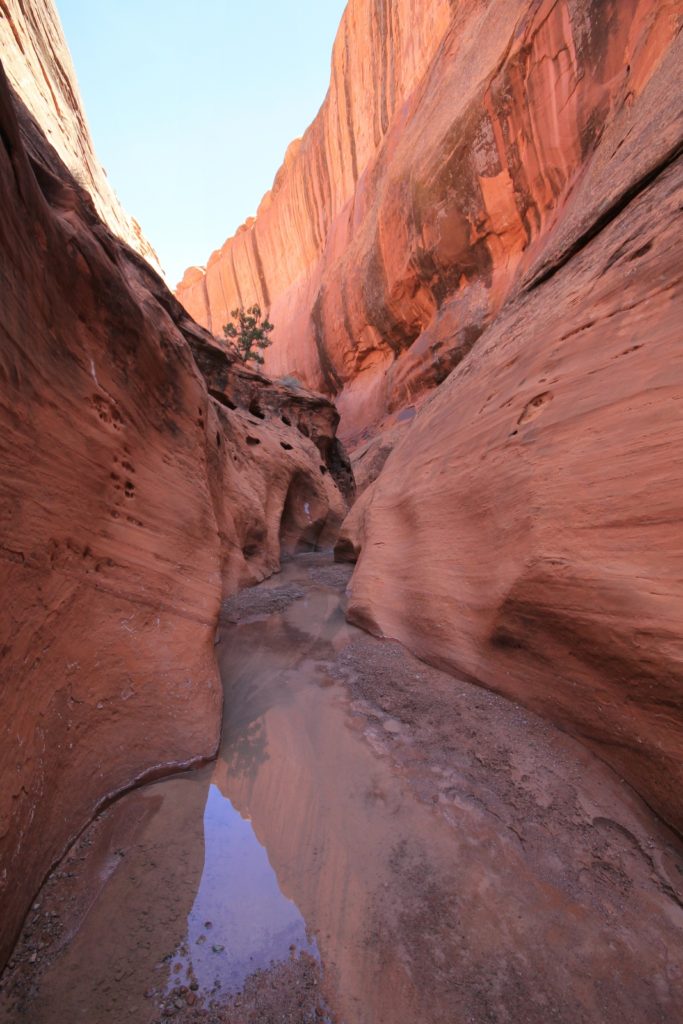
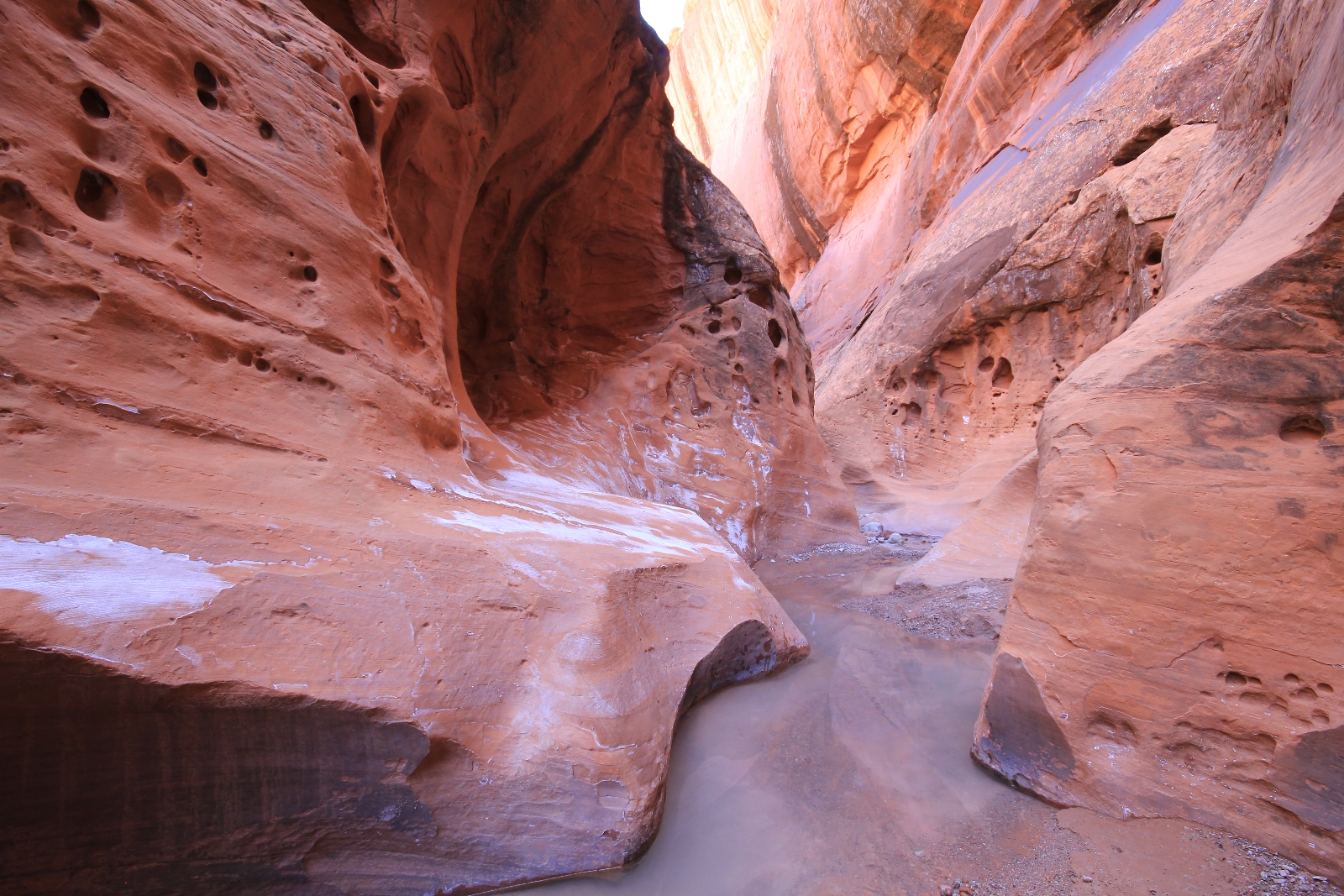
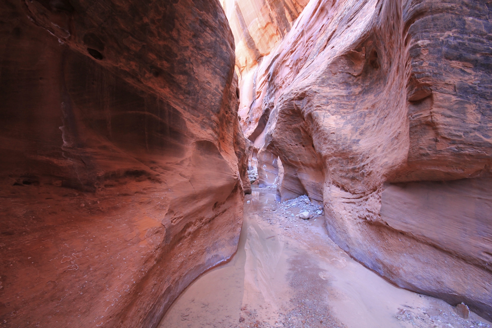
We would have loved to make it further, but at 4.5 miles up Choprock (5.5 miles from camp) we turned around.
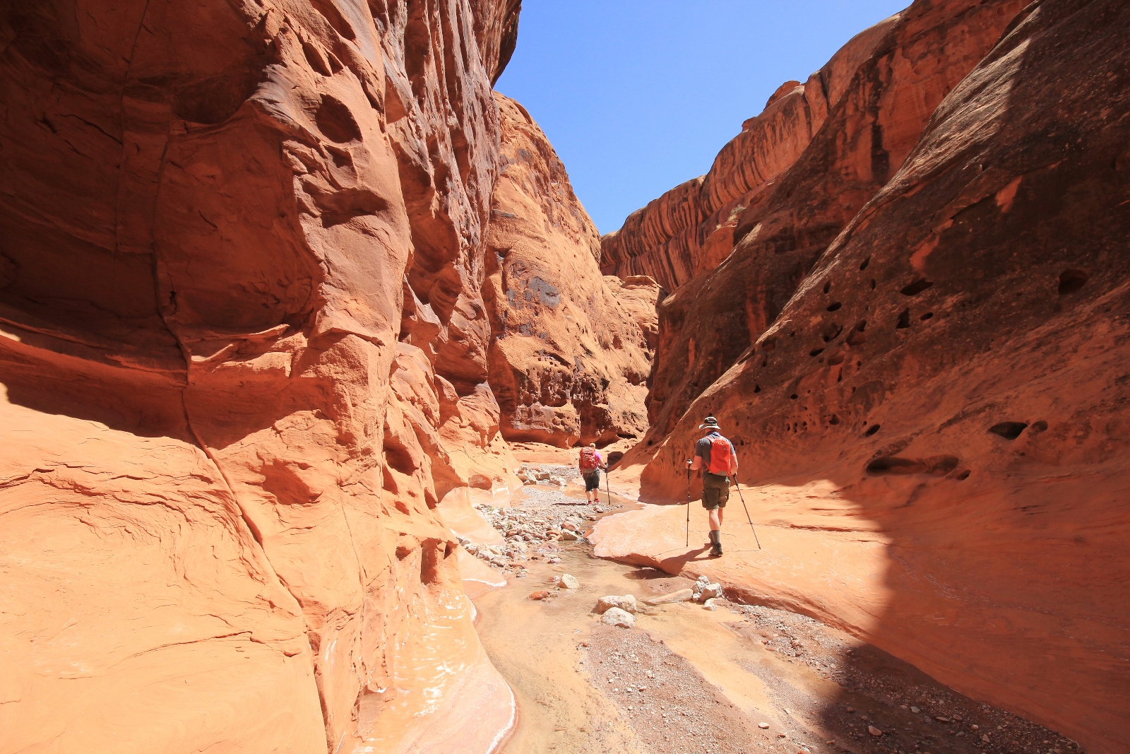
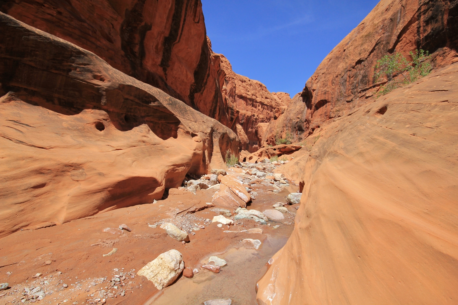
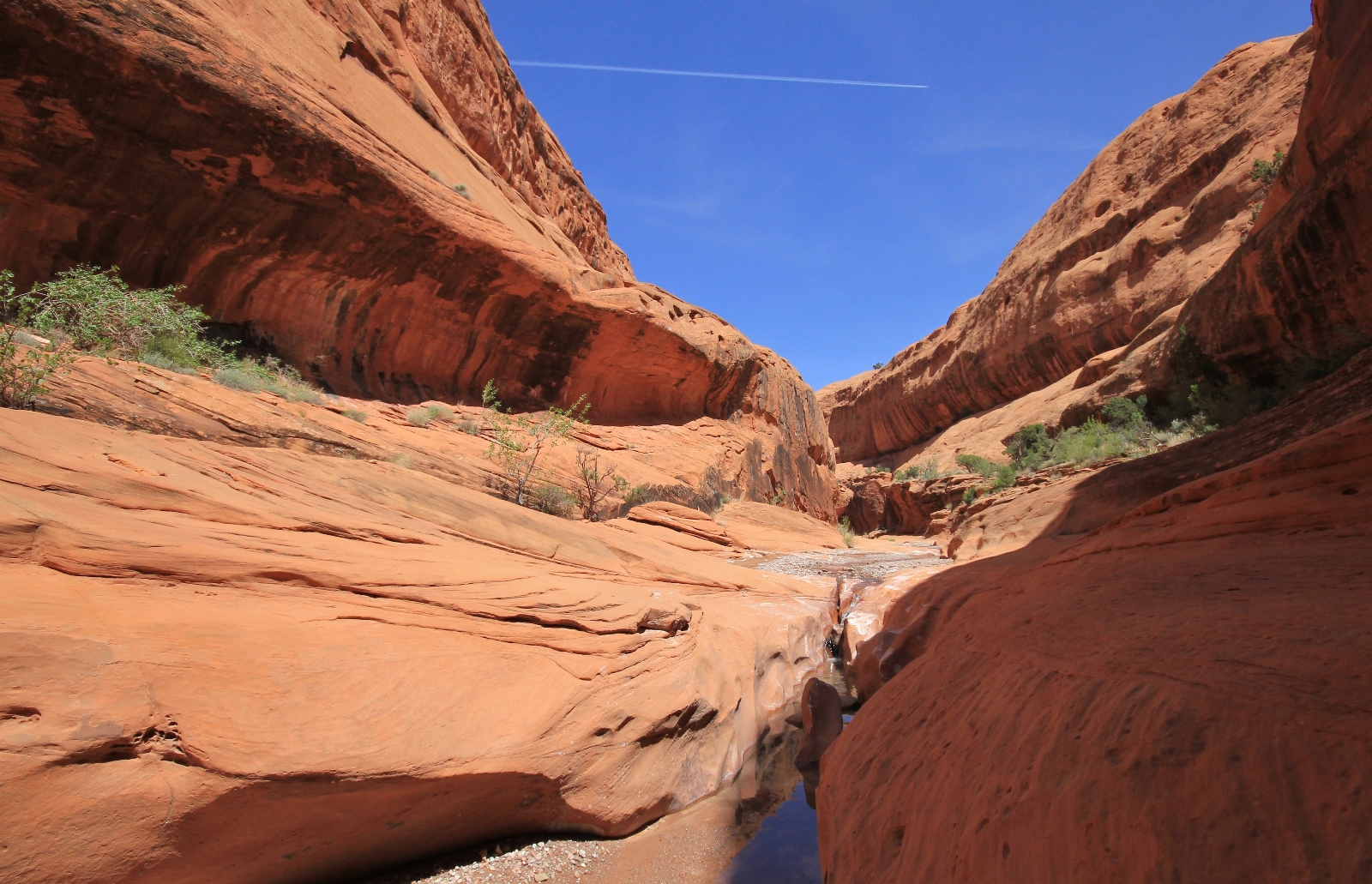
At about a mile from the Escalante, we came upon a married couple from Colorado who were cooling off in the water. We had a nice conversation with them before continuing our trek downstream. The only other hikers we saw were two older gentleman who were pack-rafting the Escalante. That was it… that was rush hour in Choprock on the Saturday of a holiday weekend. Very nice!
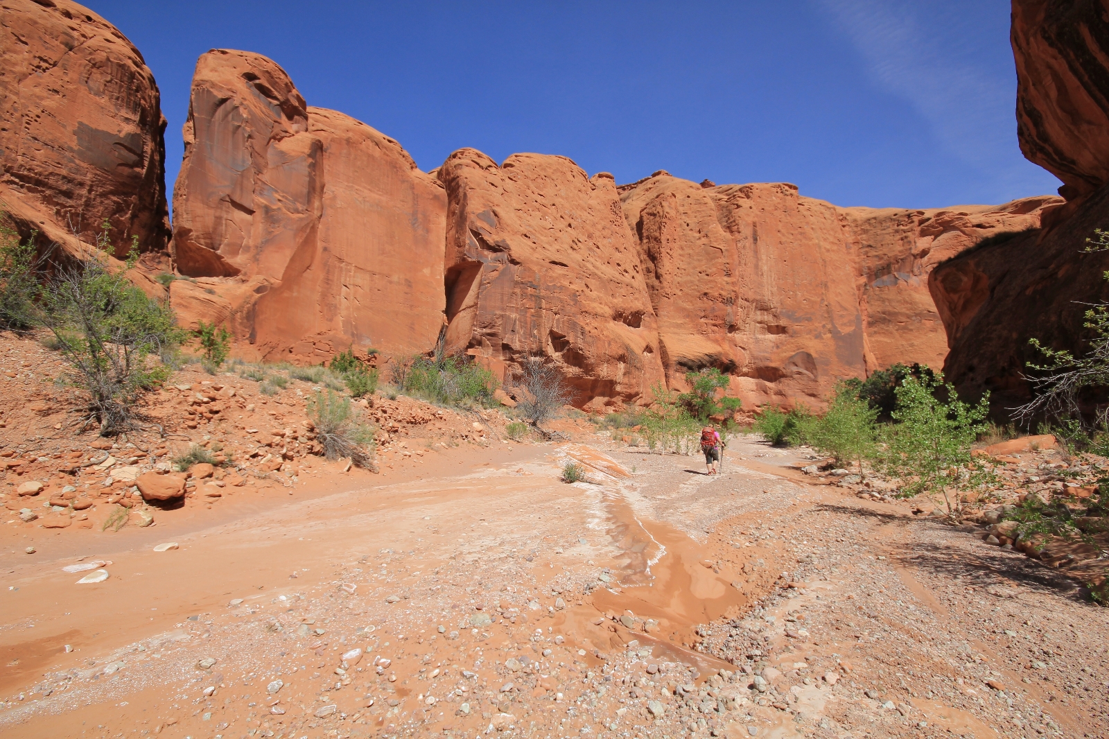
Back at the confluence of Choprock and Escalante, we made the two initial stream crossings and started the mile long bench trek down the east side of the river. We ended up on a different trail from what we hiked up earlier. This one was closer to the river and involved a little more bushwhacking. By the time we reached our last crossing of the Escalante, just yards from our campsite, I was tired and wasn’t as focused as I should have been. I completely forgot how deep the river was as you step down from the bench. I took a giant step down and straight into a deep hole causing me to go completely into the water. I immediately gained my footing and popped out of the water, but it was too late. My camera had been completely submerged in the Escalante River.
My stomach sank. We were just a few days into our vacation and I had no idea if my camera would work again. Back at camp, I immediately took the battery and SD card out, removed the lens and set everything in the sun for the remainder of the day. That night, the screen was completed fogged over indicating moisture inside the body. Yvonne gave me a hand warmer and recommended I wrap it and the camera in layers of clothing and sleep with them in the foot of my sleeping bag. I followed her recommendation and hoped for the best.
Despite the disappointing end to the day, Choprock had been one of our more memorable Utah destinations. We’re not ready to cross this one off the bucket list. We’d like to return and camp in the lower stretch of Choprock which would allow us to visit further up into the canyon. Another possibility is a loop hike with Silver Falls Canyon.
Directions to Egypt Trailhead: from the Mormon pioneer town of Escalante, Utah travel east on highway 12 4.5 miles then turn right on Hole in the Rock Road. Travel 16.3 miles down this typically washboarded road then turn left (east) onto Egypt Bench Road. Continue 10 miles down this generally rough road to the Egypt Trailhead. I would recommend a 4WD and high clearance vehicle for the Egypt road; however, I was amazed to see a sedan just half a mile from the TH.