Short & easy hike with great views of Smith Rock State Park’s towering cliffs & meandering Crooked River
Distance: 2.0-3.0 miles roundtrip
Type: out and back with loop option available
Difficulty: easy after a ~150′ drop down to the canyon floor
Best season: spring and fall (hot in summer, icy in winter)
After our morning of hiking the stunning Misery Ridge Trail in Central Oregon’s Smith Rock State Park, we wanted a relatively short and easy hike to finish our day. We simply had not gotten enough of what Smith had to offer and with sunny conditions and temperature near 70, you couldn’t ask for finer spring hiking.
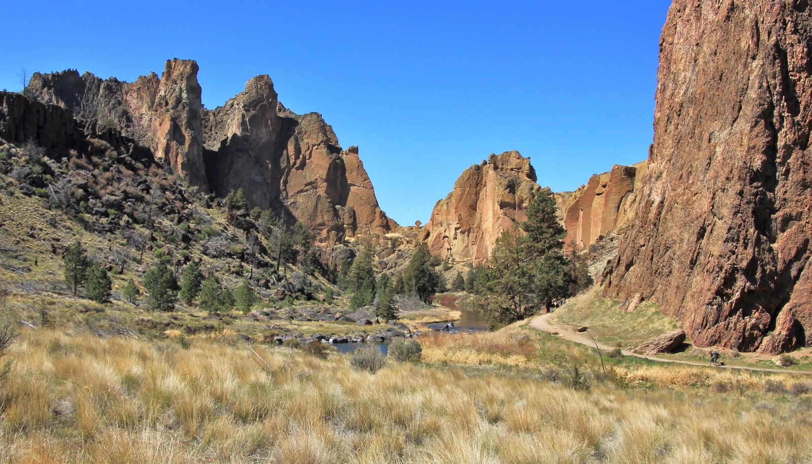
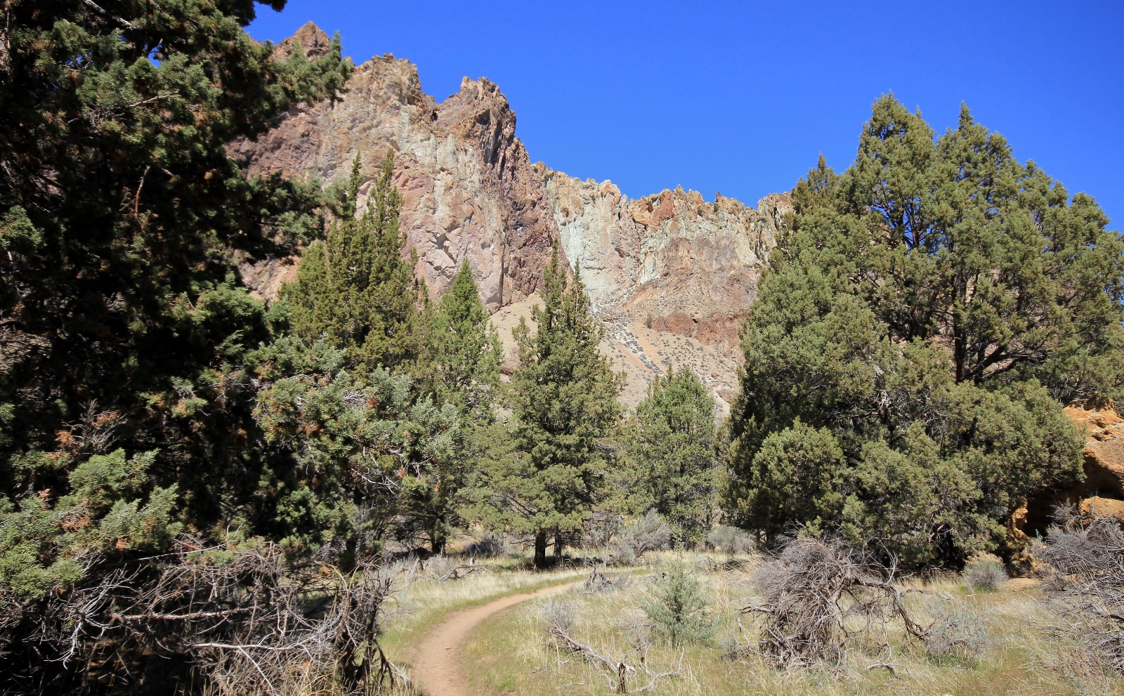
Finishing the Misery Ridge loop, we crossed back over Crooked River and found ourselves at the base of the Canyon Trail. It seemed as good a trail as any, so we headed out on that. For those starting at the Welcome Center, hike NE on the Rim Rock Trail and hang a left on the initially paved Canyon Trail. The first 0.1 mile of the Canyon Trail is quite steep, but the paved surface provides good traction. Passing the Chute Trail on the right, the descent moderates as you transition to well maintained gravel trail. After another 0.2 miles take a slight left at the Y which will take you up Crooked River following our course described below.
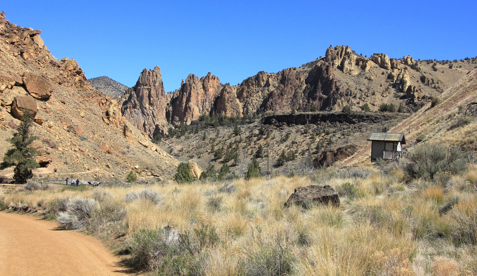
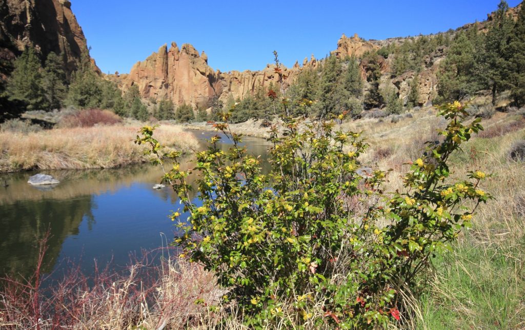
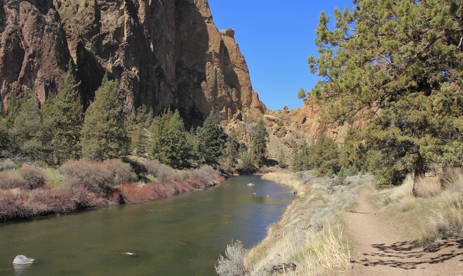
The Canyon Trail followed alongside Crooked River much as the River Trail had on the opposite. While this trail had similar views of the towering rock walls, much of the trail was down in the pine trees which I enjoyed.
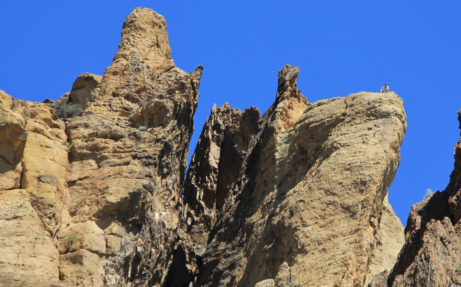
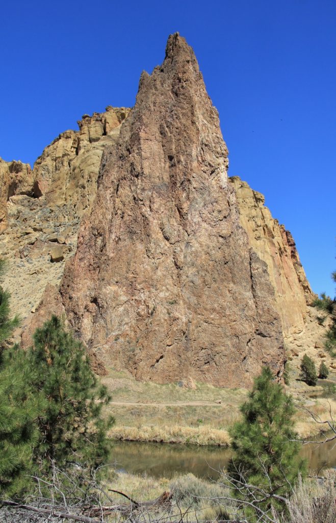
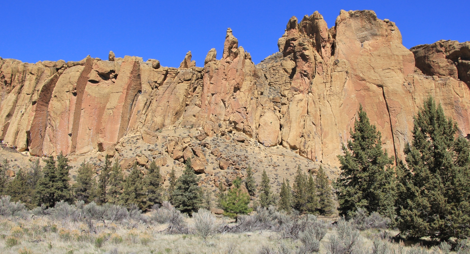
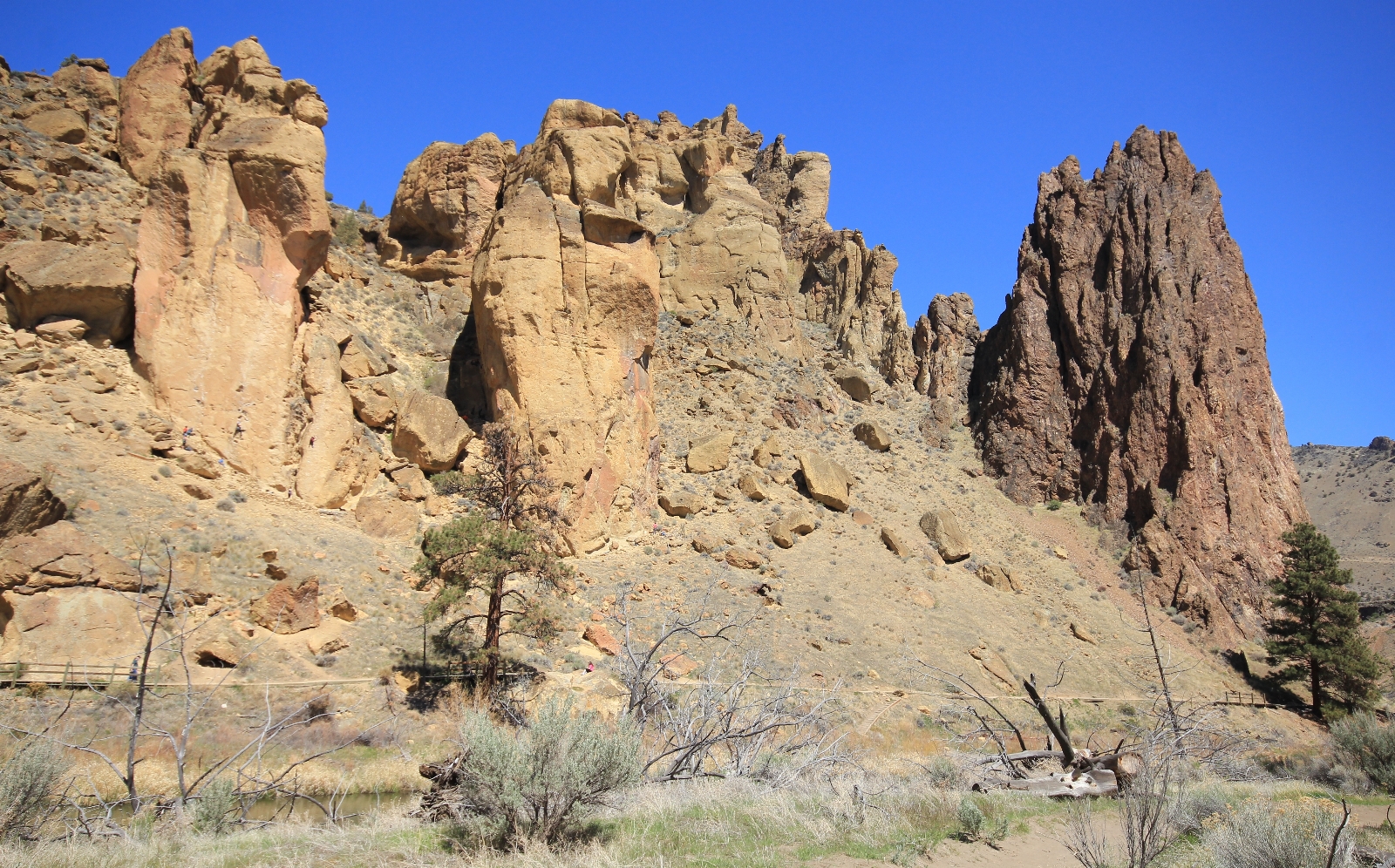
At 0.4 miles from the footbridge we passed Rope-de-Dope climbing area. We saw quite a few people roping up and climbing here. These rocks were not nearly as tall as those on the far shore, so I’m guessing they provide easier routes.
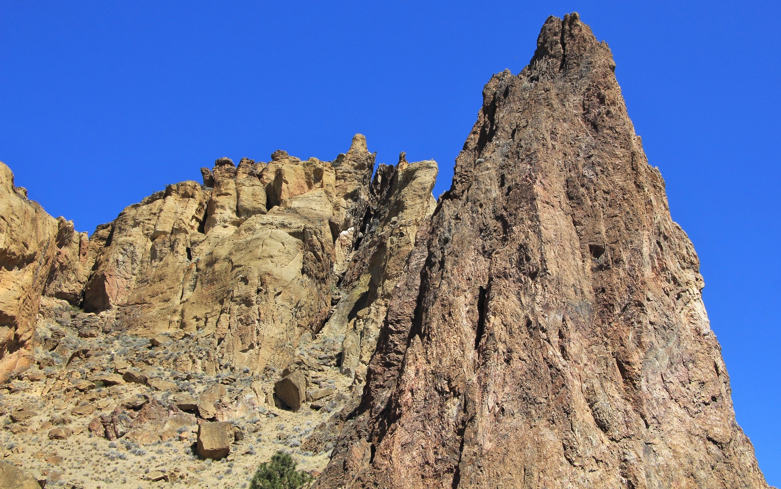
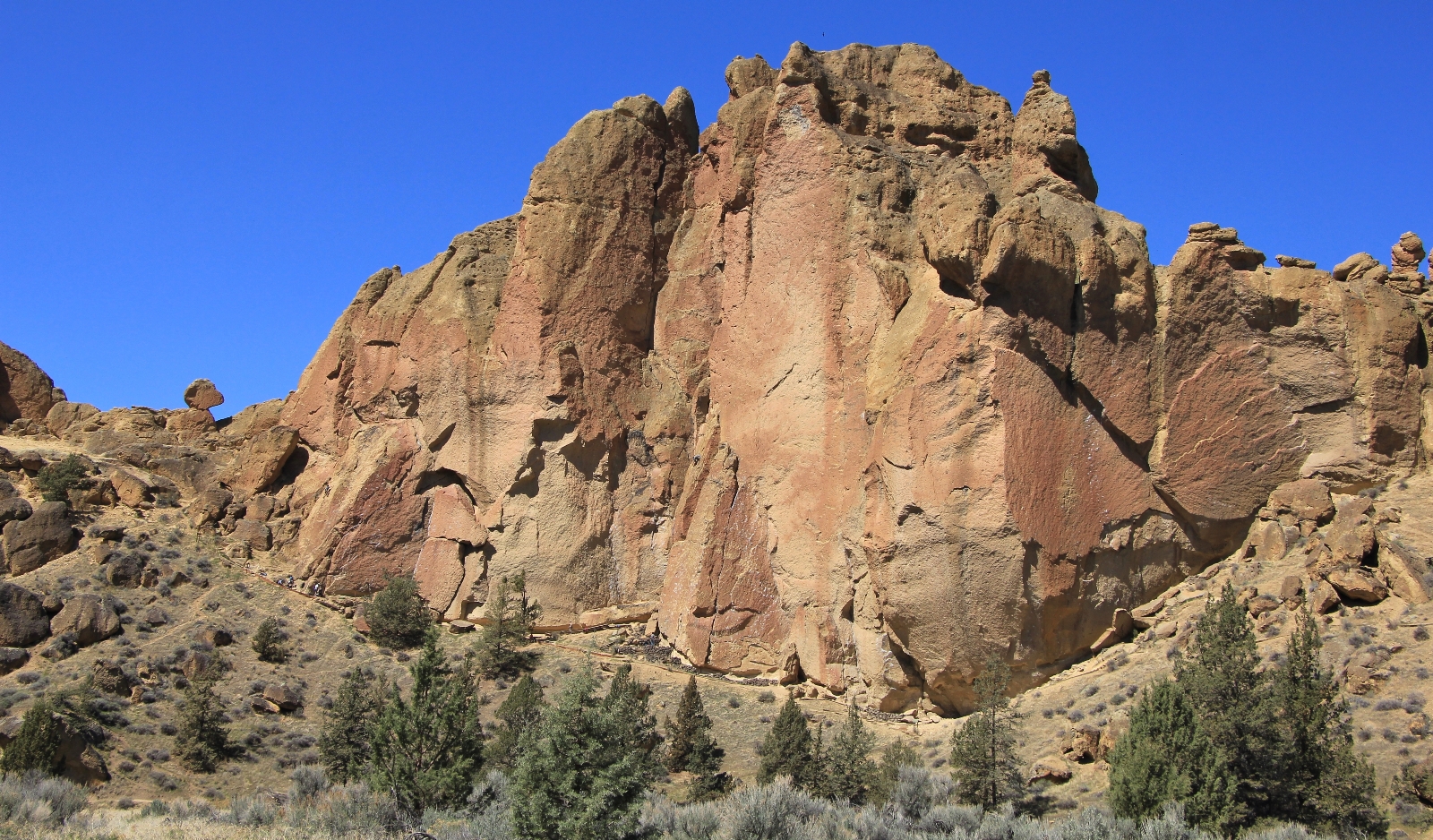
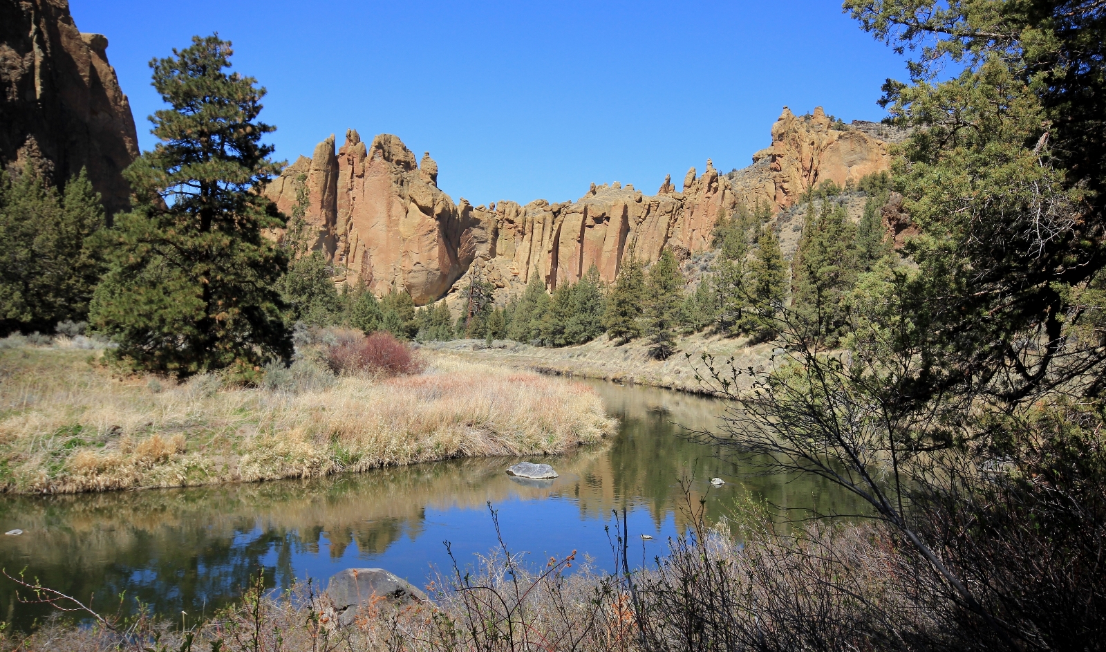
Continuing on, we discovered that the Canyon Trail provides the same impressive rock views as River Trail.
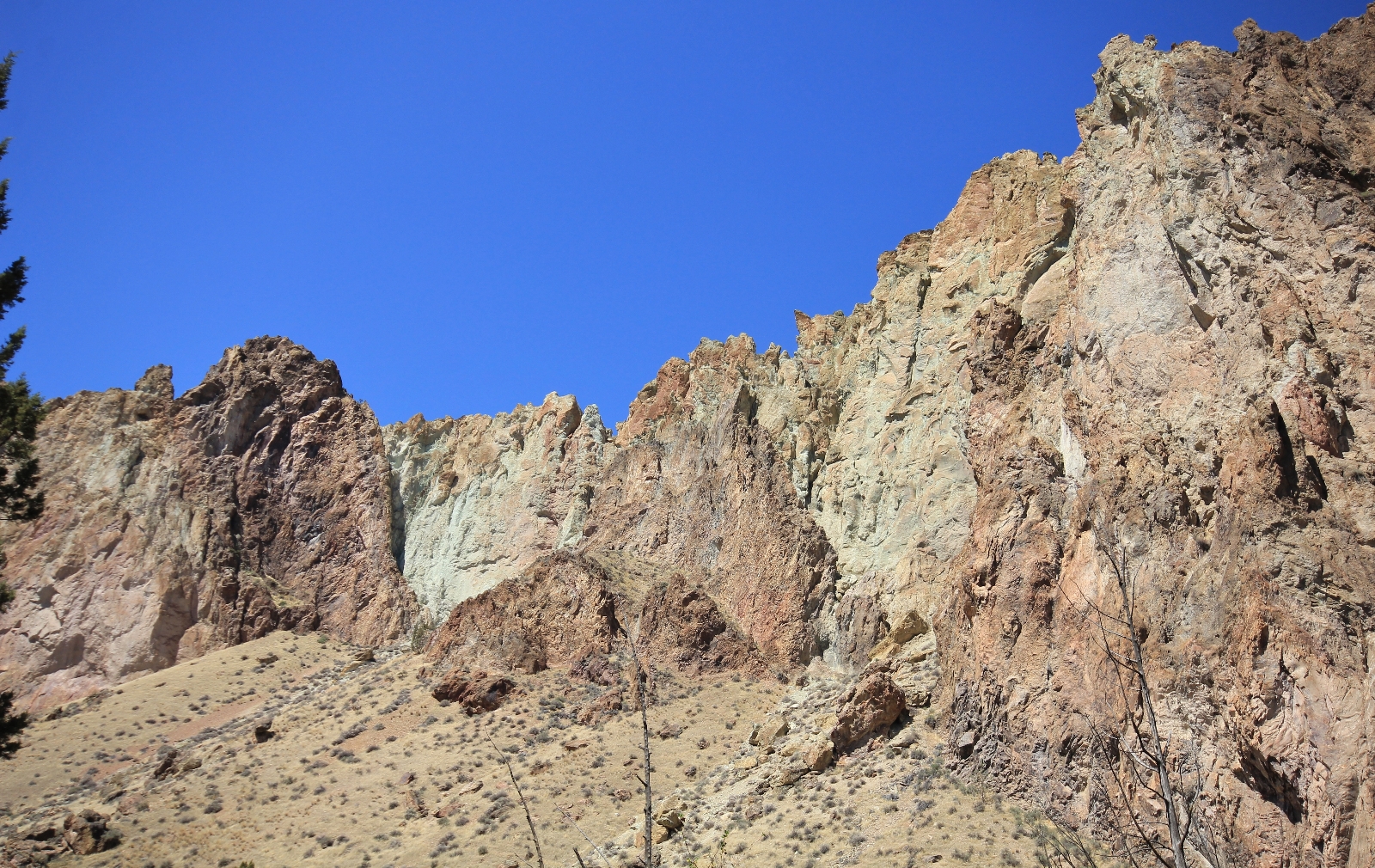
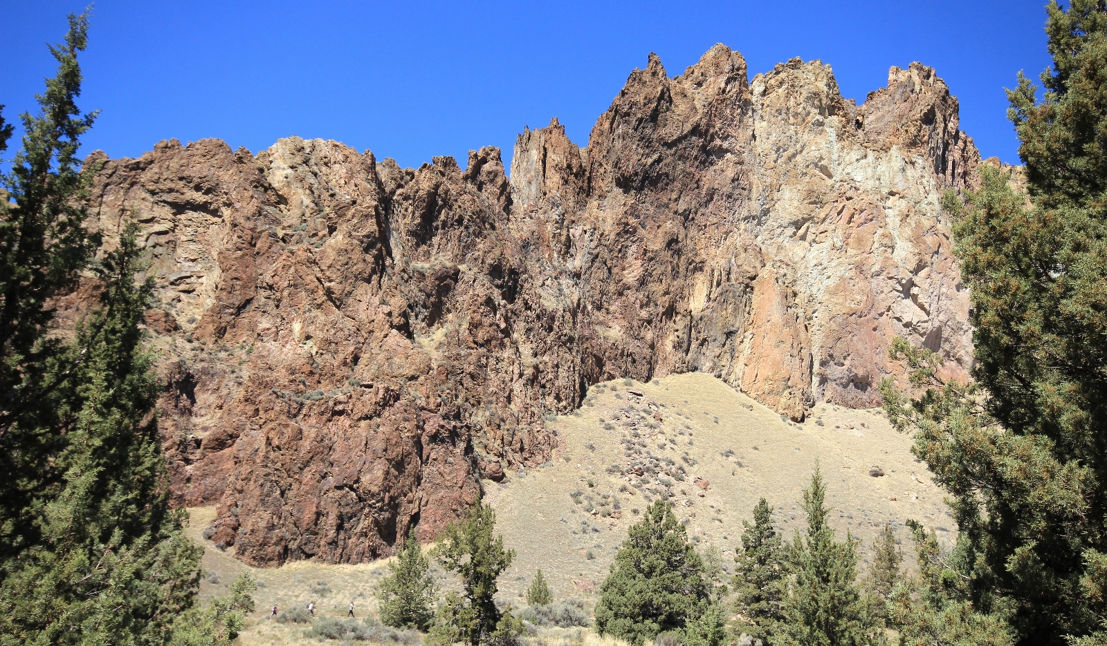
Just past Rope-de-Dope, we had great views up to Asterisk Pass. After this, we only saw a couple other people making this a nice section of trail for beating the crowds.
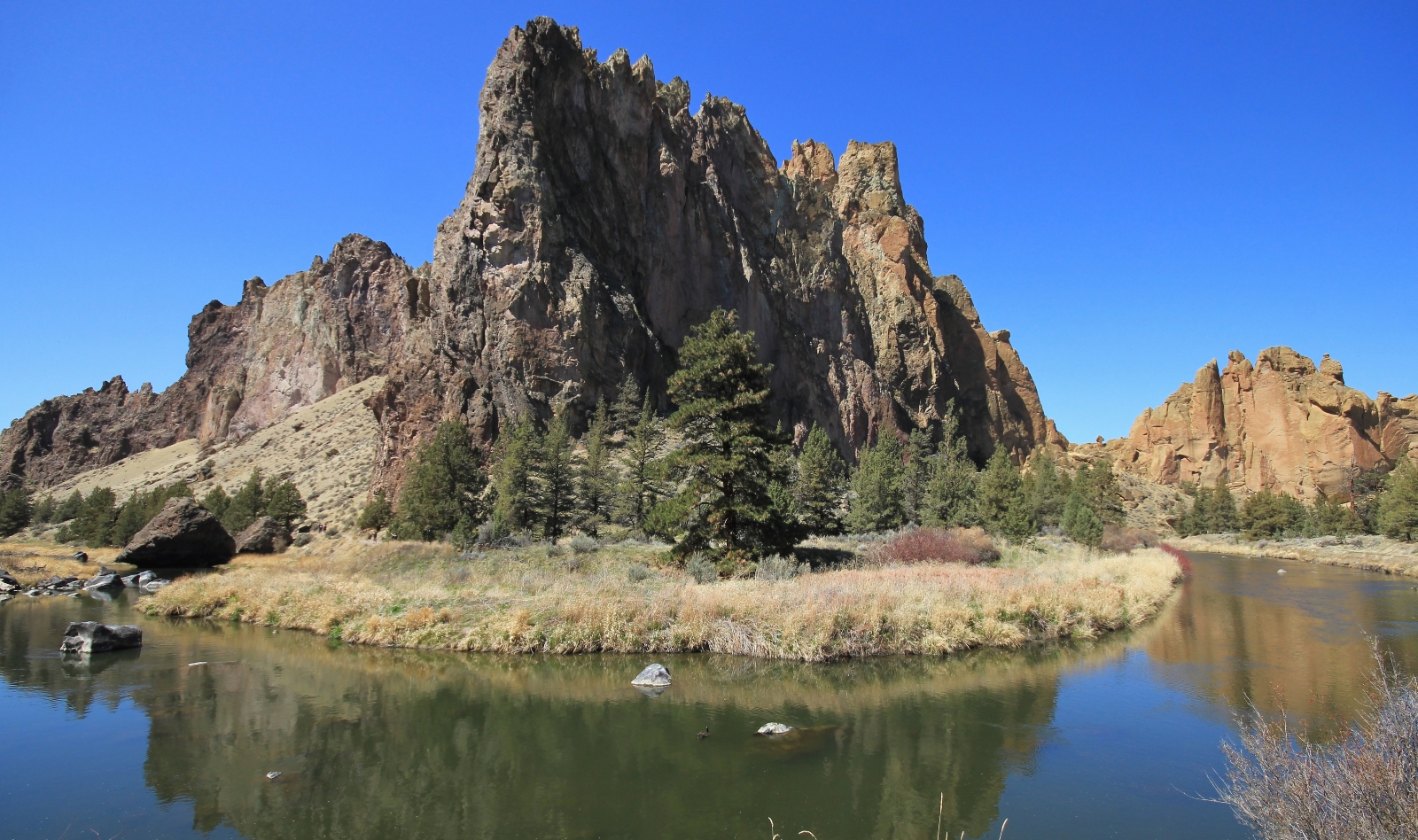
After another 0.2 miles, we came to the horse ford of Crooked River. We took the short spur trail to the ford and enjoyed a nice break along the river.

We continued up stream to about the one mile point. The trail continued another half mile, but we decided to call it a day. And what a day it had been! For those able to handle steep, rocky trails, Misery Ridge is simply spectacular—a must do for any serious hiker. For those wanting a less strenuous route, the Canyon Trail does a great job of showing the character of Smith Rock State Park for much less sweat factor. I highly recommend both!
Stay tuned for our next and final post from Smith Rock State Park. We’ll show you what the park’s longest trail looks like. If you like what you saw here, you won’t be disappointed.
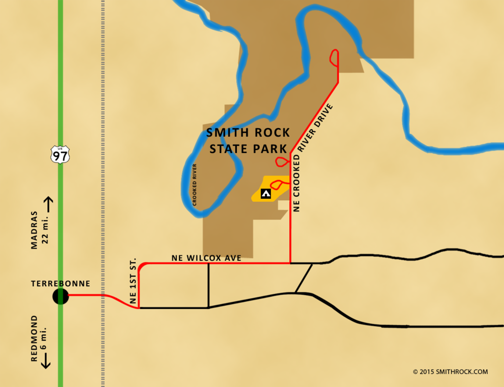
Directions to Smith Rock State Park: from Redmond, Oregon, travel north on US 97 six miles to the small town of Terrebonne. Turn right at the sign for Smith Rock State Park and follow signs the short distance to the park. An Oregon State Park Pass or daily pass ($5) is required for all visitors. There are three fee stations available (one in RV parking lot, one just past the yurt Welcome Center, and the Northern Point area at the end of the road (closed during winter months). Open dawn until dusk daily.
Related Posts:
Check out these other hikes from our April 2018 Oregon vacation:
Oregon’s Columbia River Gorge: Hat Rock State Park
Central Oregon’s White River Falls State Park
Central Oregon’s Smith Rock State Park: Misery Ridge Trail
Central Oregon’s Smith Rock State Park: Summit Loop
Central Oregon’s Deschutes River: Dillon Falls
Central Oregon’s Steelhead Falls
Oregon’s Santiam Foothills: Shellburg Falls
Oregon’s Silver Falls State Park: Trail of Ten Falls
Washington’s Columbia River Gorge: Coyote Wall
Oregon’s Columbia River Gorge: McCall Point & Rowena Plateau
Got Gear?
Click here to see some of our tried and true gear. By accessing Amazon through the links on this page, you get the same GREAT Amazon pricing and they share a little with us. This helps us maintain evansoutdooradventures and is much appreciated! Thank you to our supporters!