Superb scabland hike with two lakes, many ponds, a lovely creek, and historical ranch
Distance: 9.5 mile loop (we logged 10.8 miles after some extra exploring)
Type: loop
Difficulty: moderate due to distance and a couple short and easy climbs
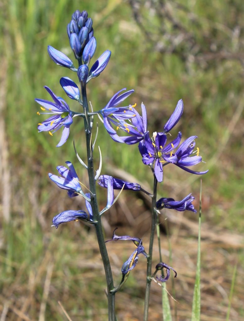
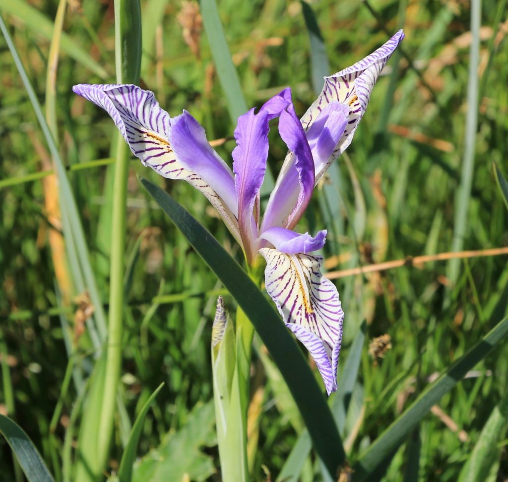
Best season: spring for the wildflowers
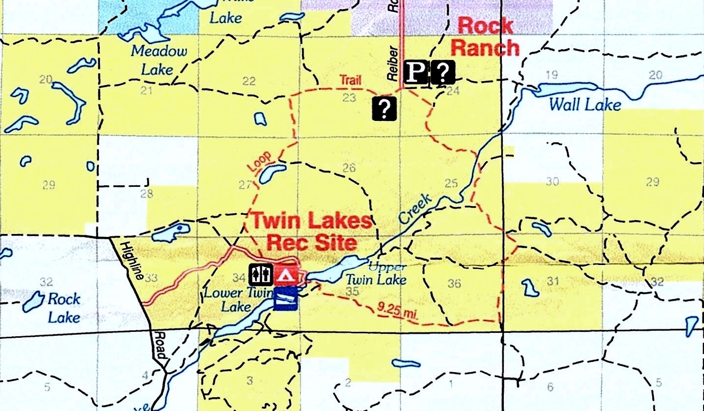
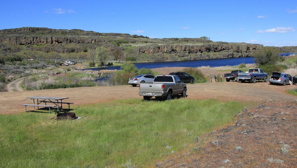
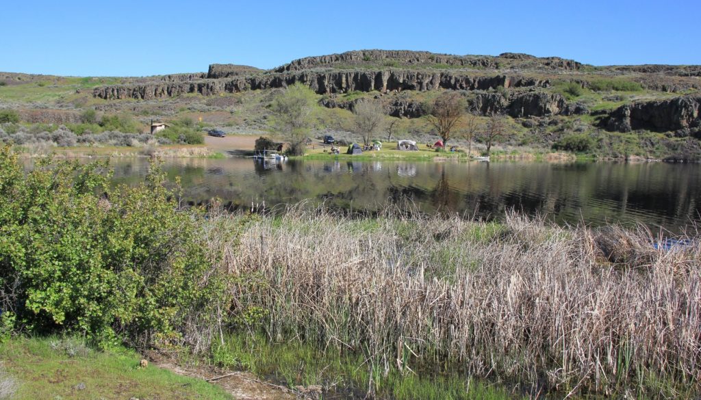
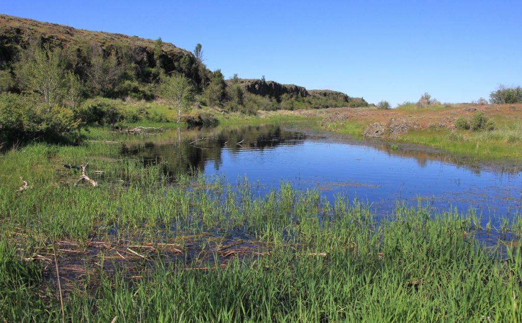
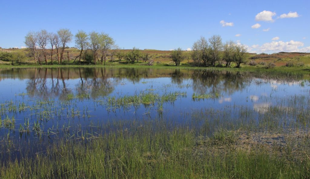
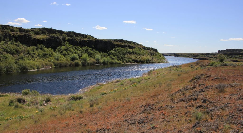
May is generally too early for mountain hiking in the Pacific Northwest, but it is a great time for exploring lakes, towering basalt cliffs, and wildflowers in Eastern Washington’s channeled scablands. This area is the result of massive floods that inundated the area thousands of years ago, creating roughly 2,000 square miles of scoured terrain that today holds countless lakes. One of our favorite scabland destinations is Twin Lakes near the small farming town of Harrington. The BLM manages 14,000 acres of wetland and range here where two long lakes (two miles total length) are separated by a narrow isthmus which has a boat launch, restrooms, picnic area, a few camping spots, and the trailhead for a terrific loop hike (map).
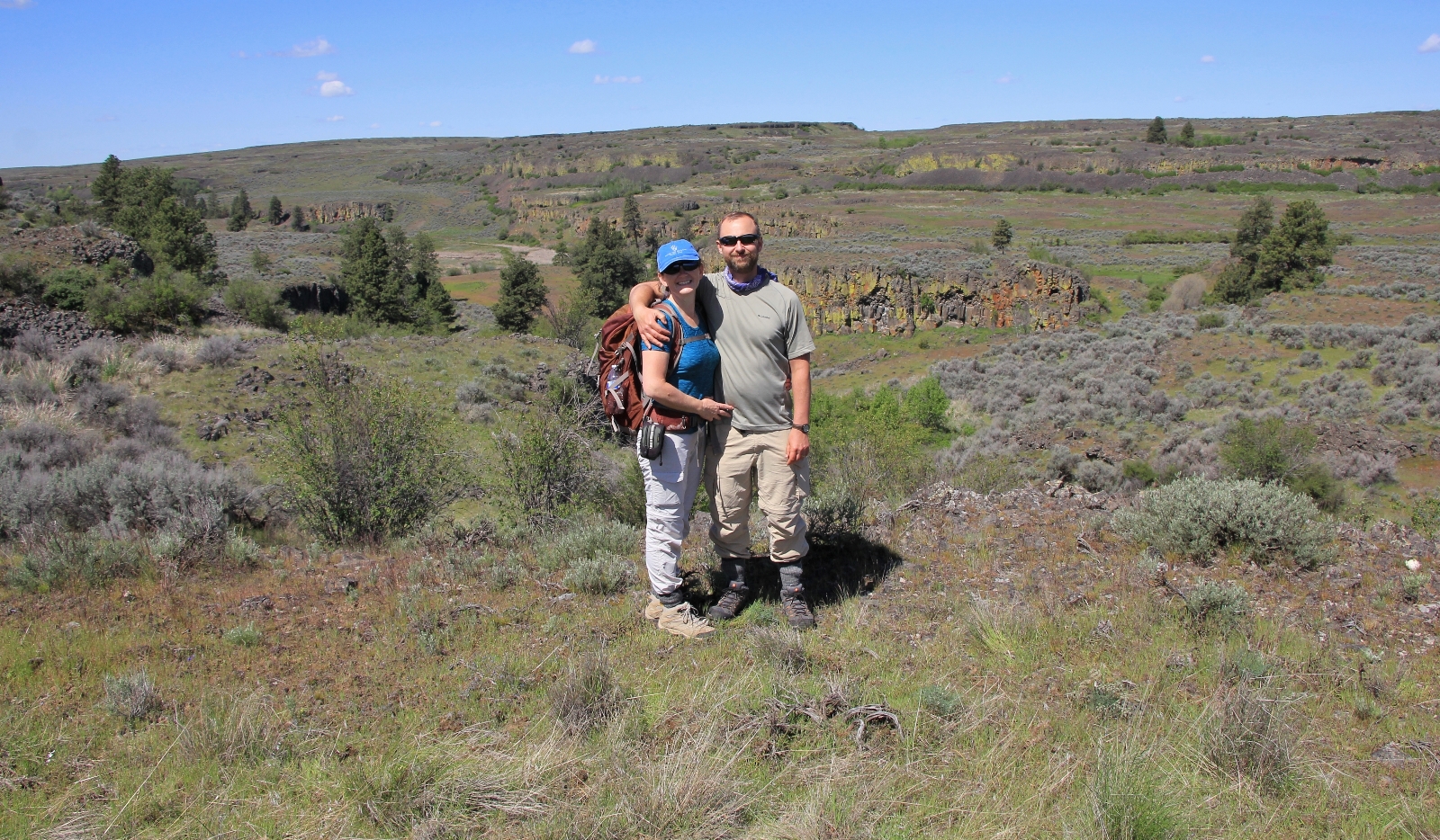
We arrived at Twin Lakes on a beautiful Sunday morning in May to find quite a few people camped and fishing at the upper lake. The area felt fairly busy, but I was confident we’d have solitude once we left the parking lot. We drove past the boat launch and up a small rise to a large parking area which serves as the trailhead for the hike described here.
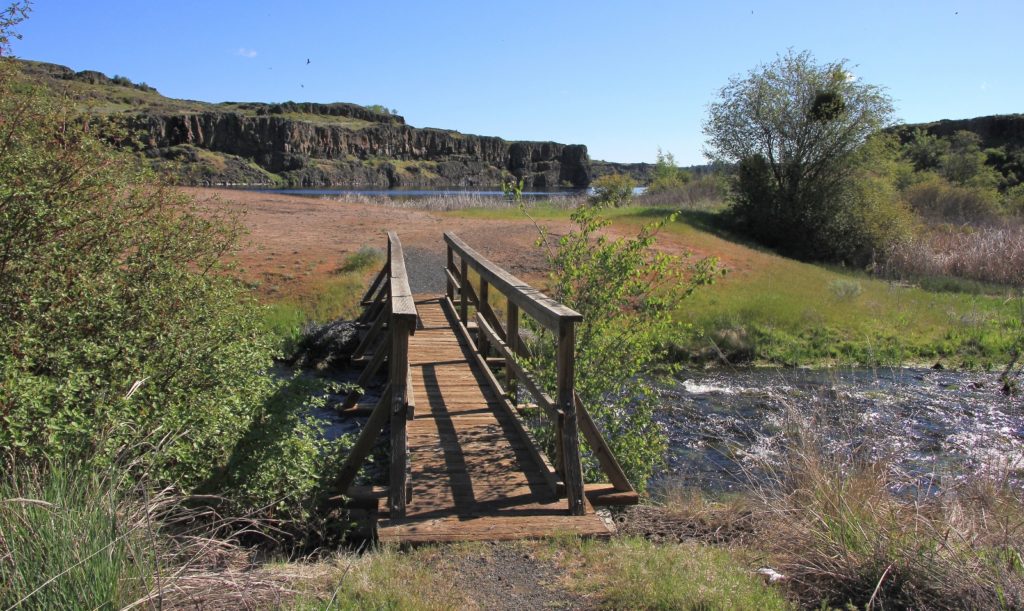
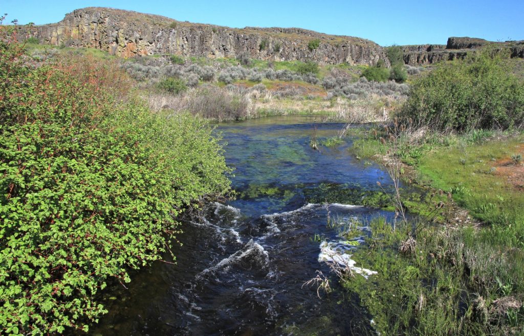
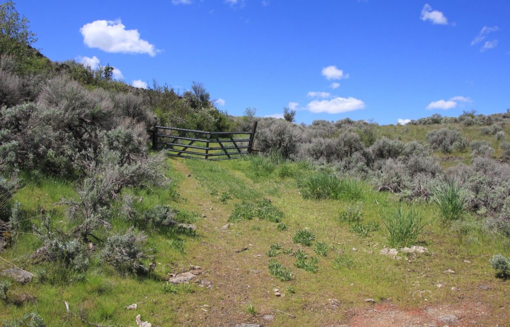
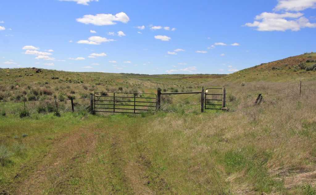
From the trailhead, we immediately crossed a footbridge over the stream that drains from Upper Twin Lake into Lower Twin Lake. Shortly we found the first of ten gates that we would pass through.
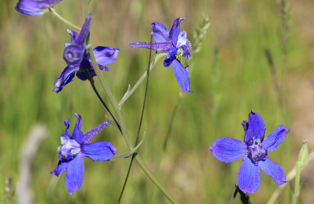
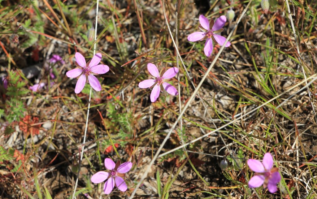
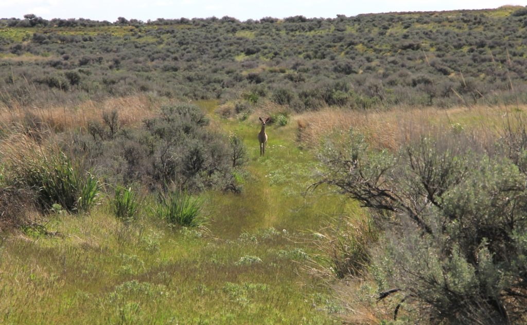
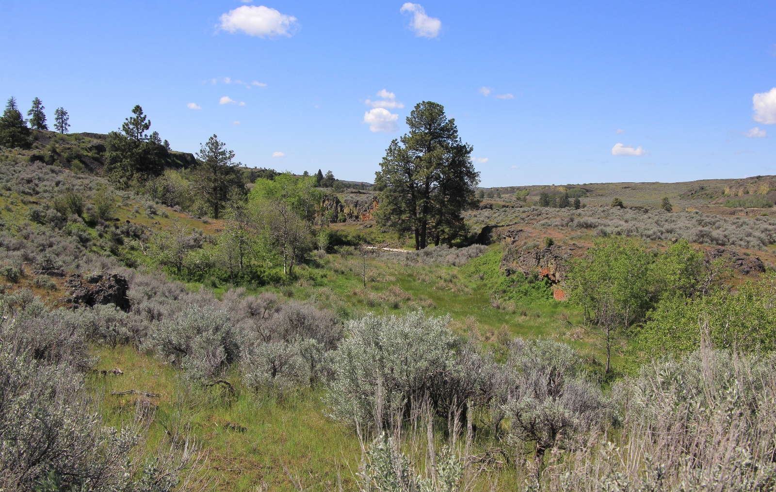
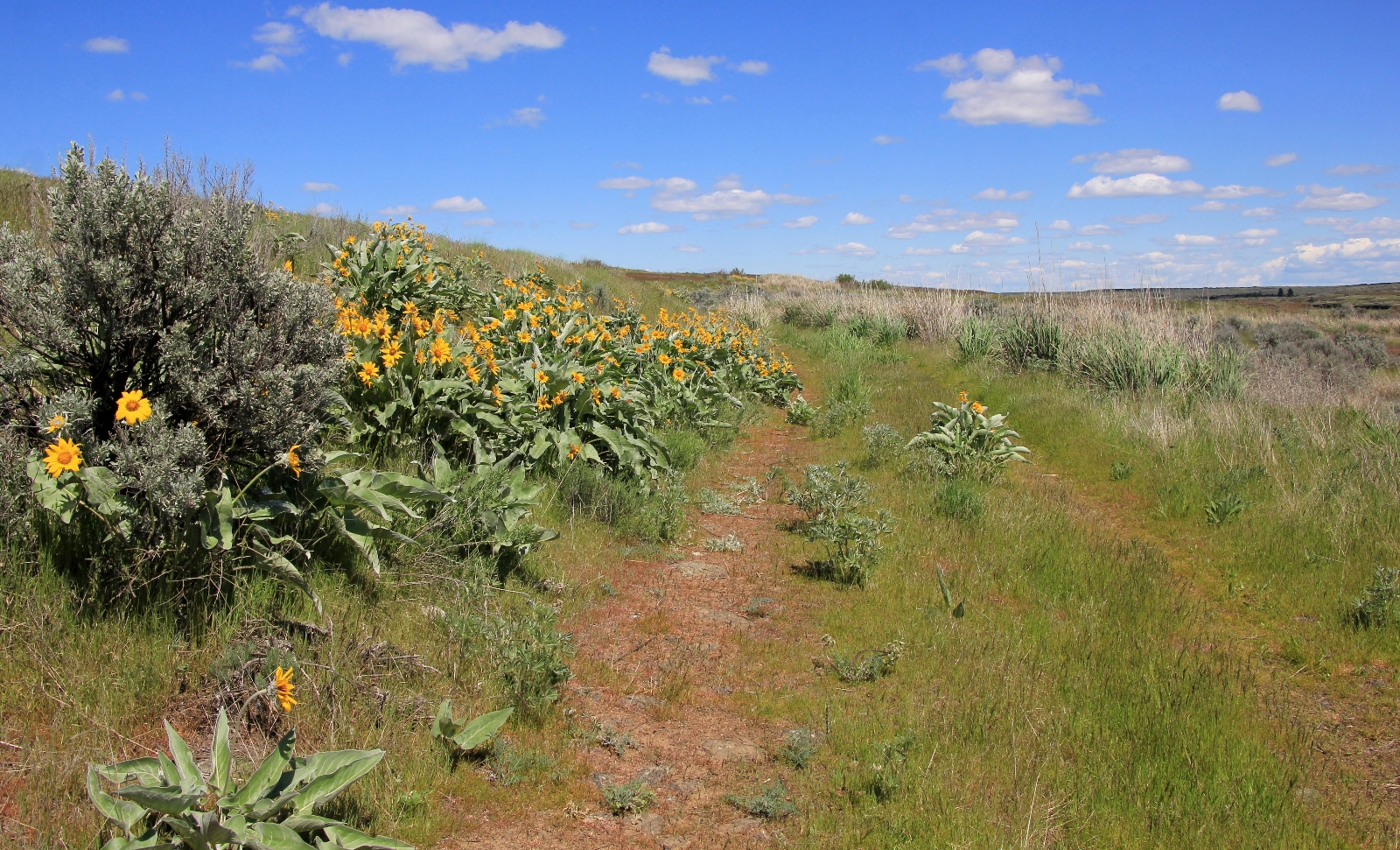
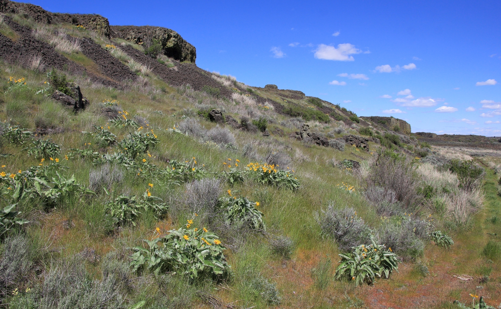
The trail (which in most places was closed rancher roads that are quickly converting to single track trail) followed above the lake for a short distance and then climbed up and away through a canyon. We passed an aspen grove and small pond then continued our climb up and out of a canyon. In this area we saw a big mule deer and began seeing numerous types of wildflowers in peak bloom.
Once up and out of the canyon, we continued through open sagebrush country with far reaching views. There were several small ponds in this area. I imagine many of these were only present due to the record precipitation year we’d had. We passed through a second gate and shortly after saw a lone white tail deer.
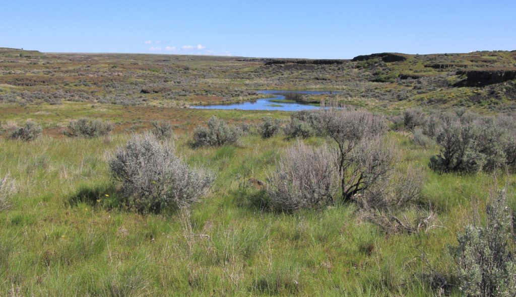
About the time the hiking was starting to get a little pedestrian, we came to a trail junction. We turned to the left and hiked a short distance further to the shores of a large pond where we enjoyed a short break.
From there, the scenery got more interesting. We passed a pond with some trees growing around it which I pictured as a former homestead site.
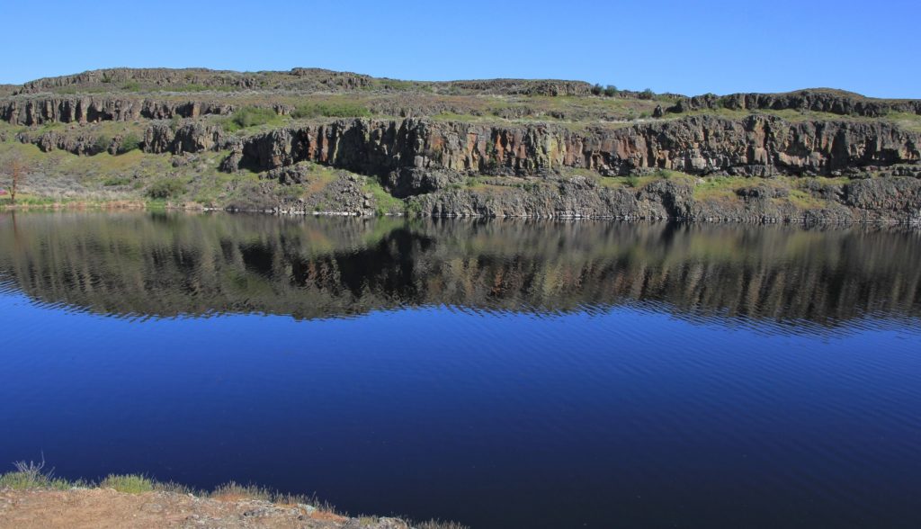
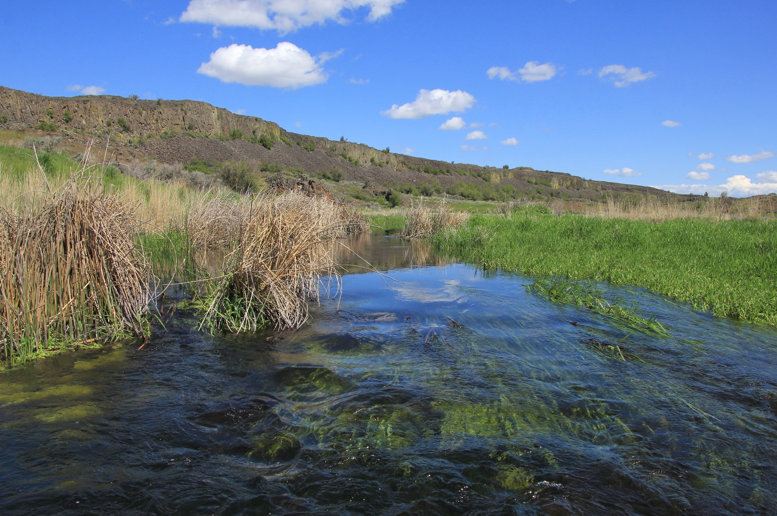
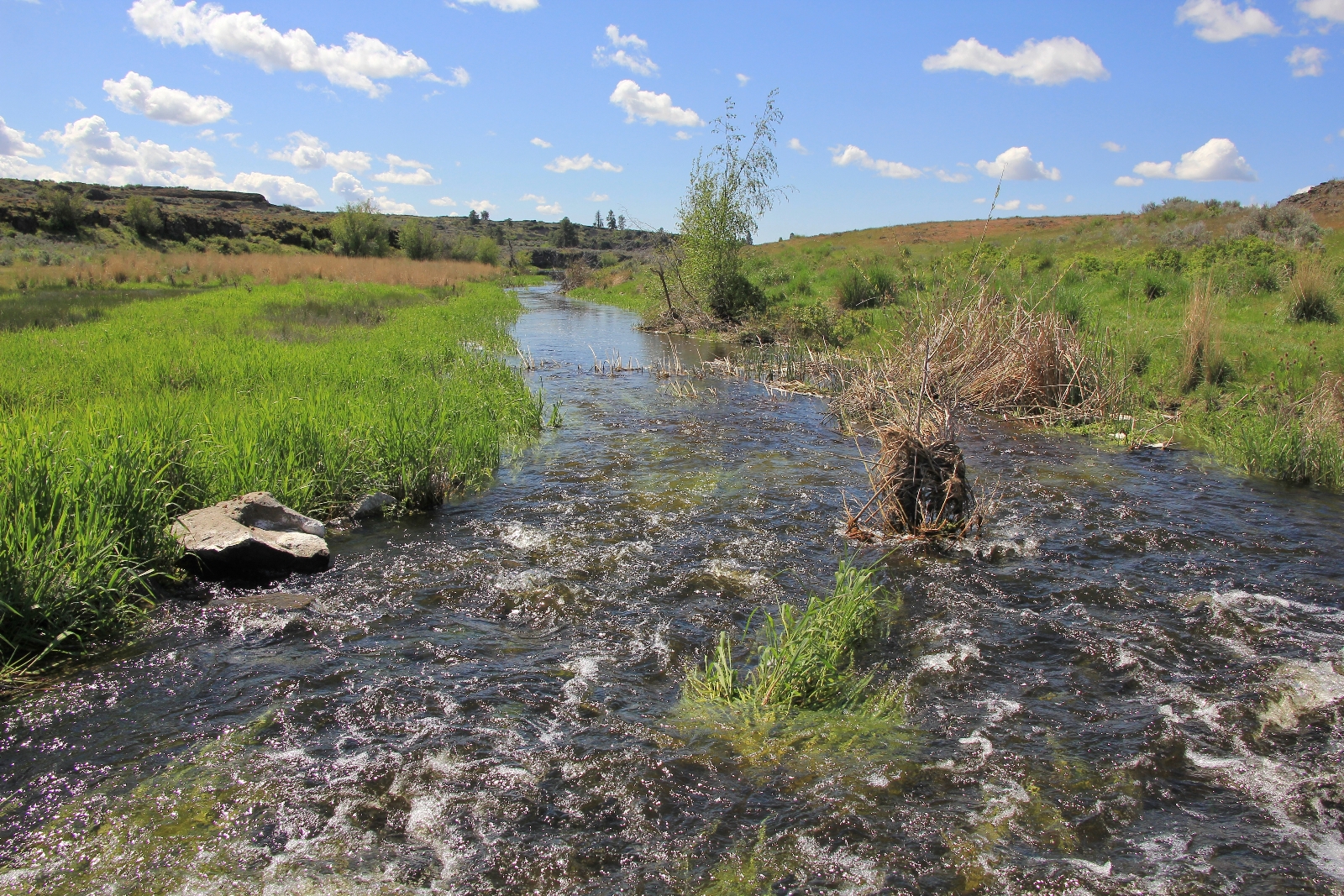
We passed through a third gate where we saw another mule deer and then another deer off in the distance. Here we far reaching views to the north of the old Rock Ranch. We began dropping down into the canyon where Lake Creek flowed. This stretch was very scenic and was my favorite of the day.
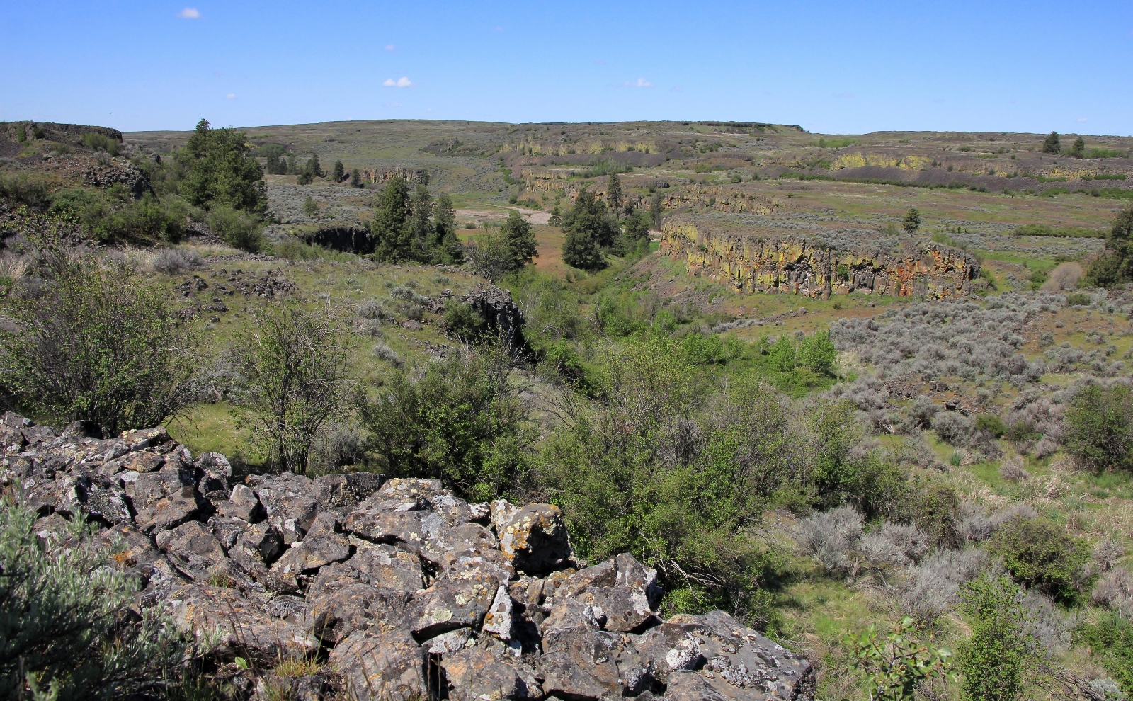
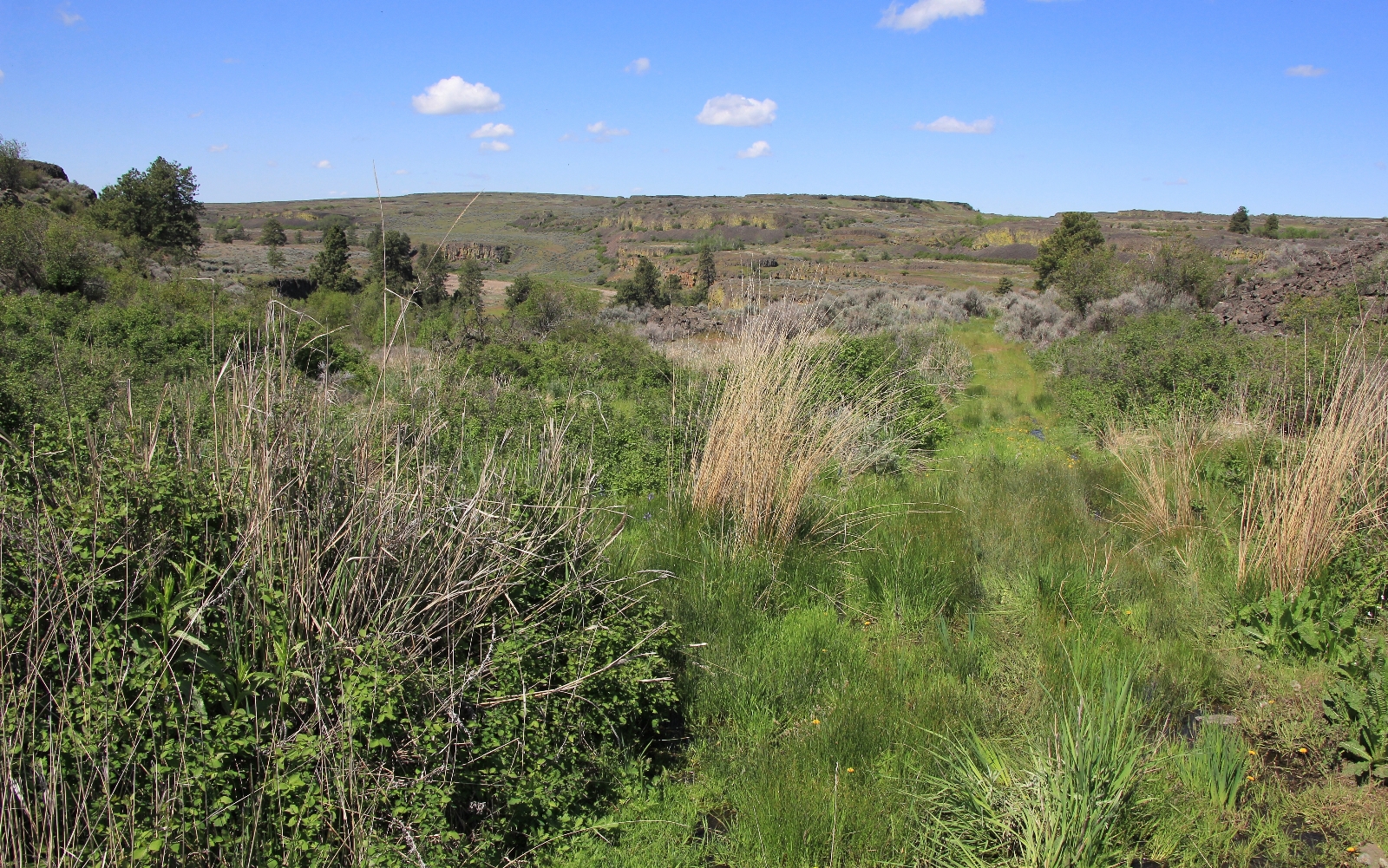
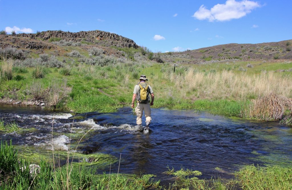
Down on Lake Creek at 4.6 miles from the trailhead, the canyon was lush and green. The creek was running high and there was no way to cross with dry feet. The water wasn’t too cold or deep and it was an easy crossing.
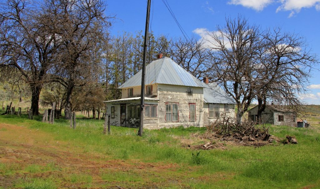
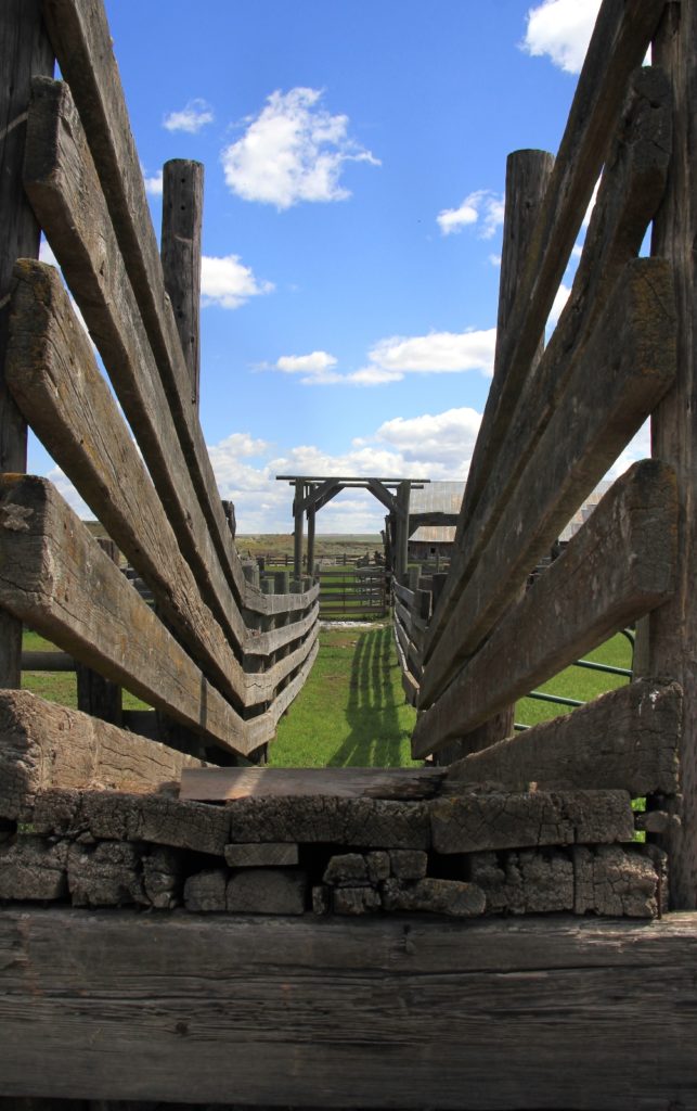
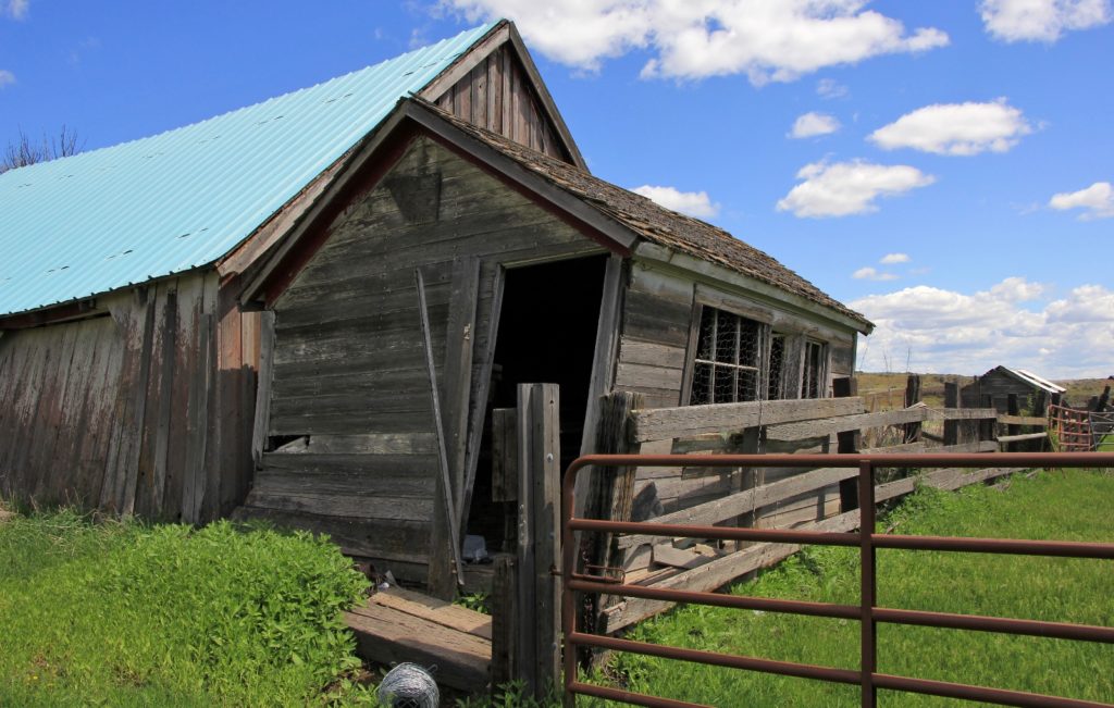
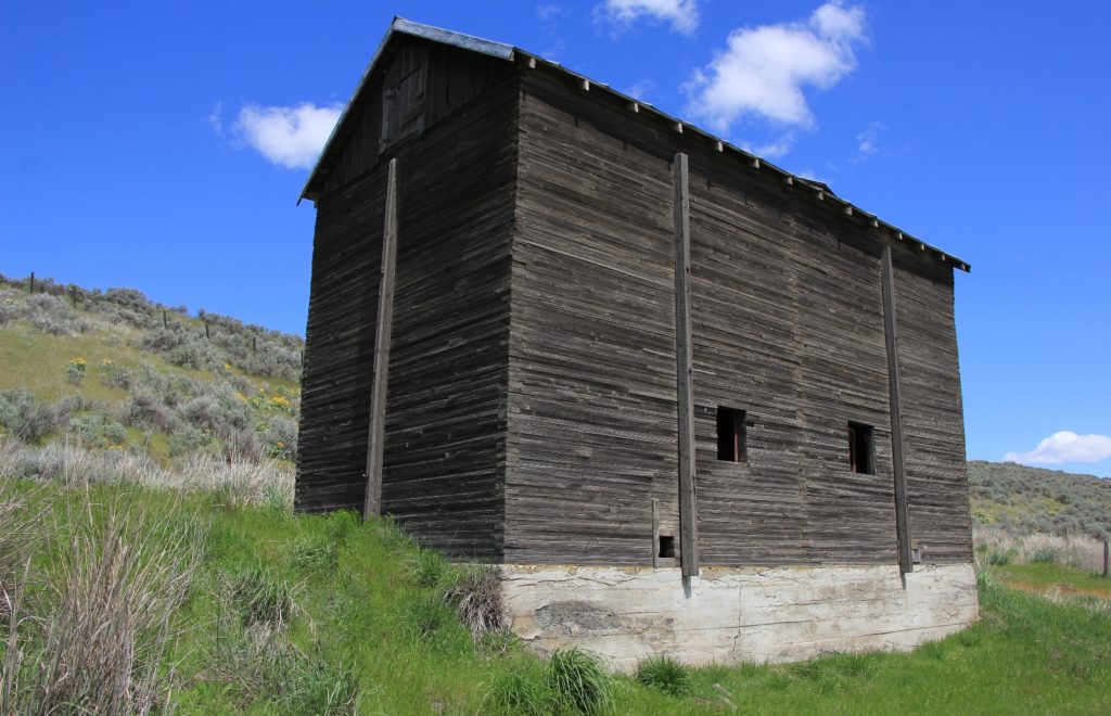
We began a climb up out of the canyon, passing through three more gates before arriving at the abandoned Rock Ranch.
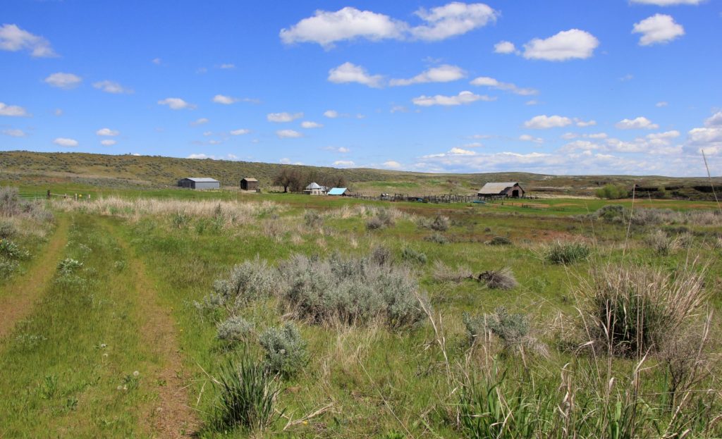
We explored around the old ranch for a while—surely this had been a lovely home back in the day.
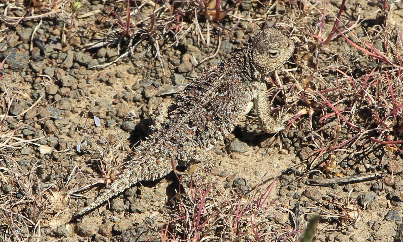
From the ranch, we followed a dirt road to another gate to the junction with Reiber Road. The next stretch of trail was less scenic, but we did see some old abandon farming implements and two super cool horny toads.
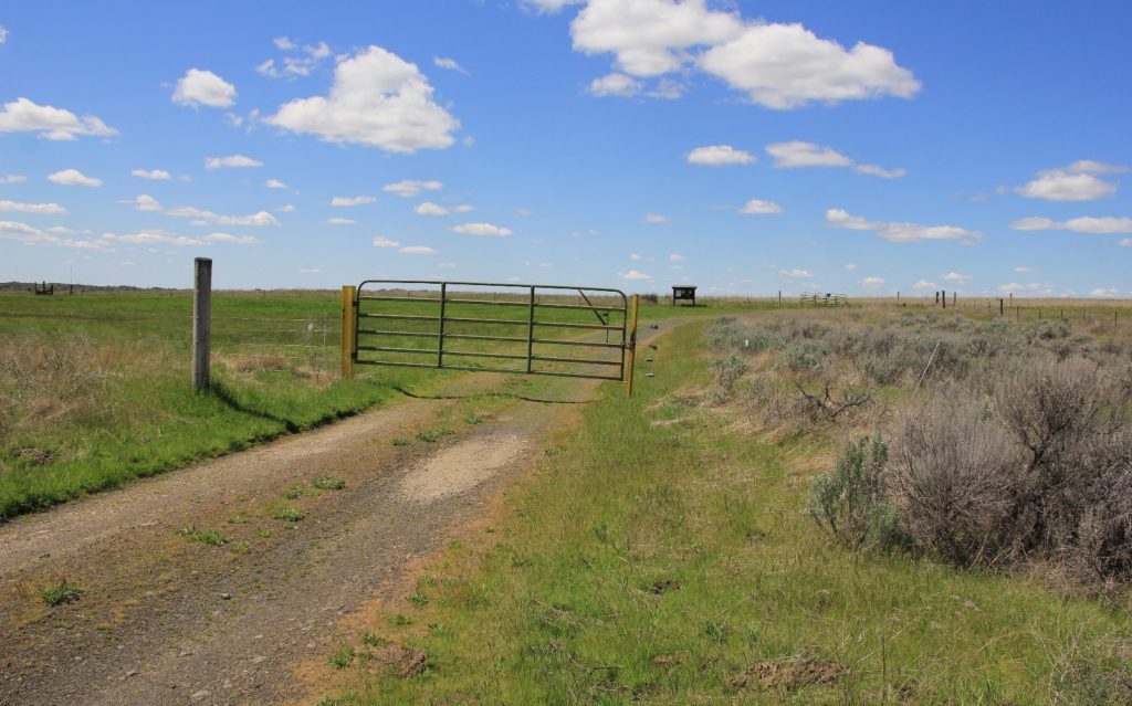
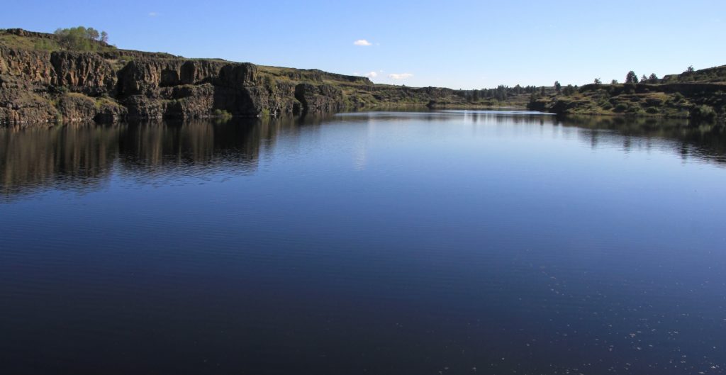
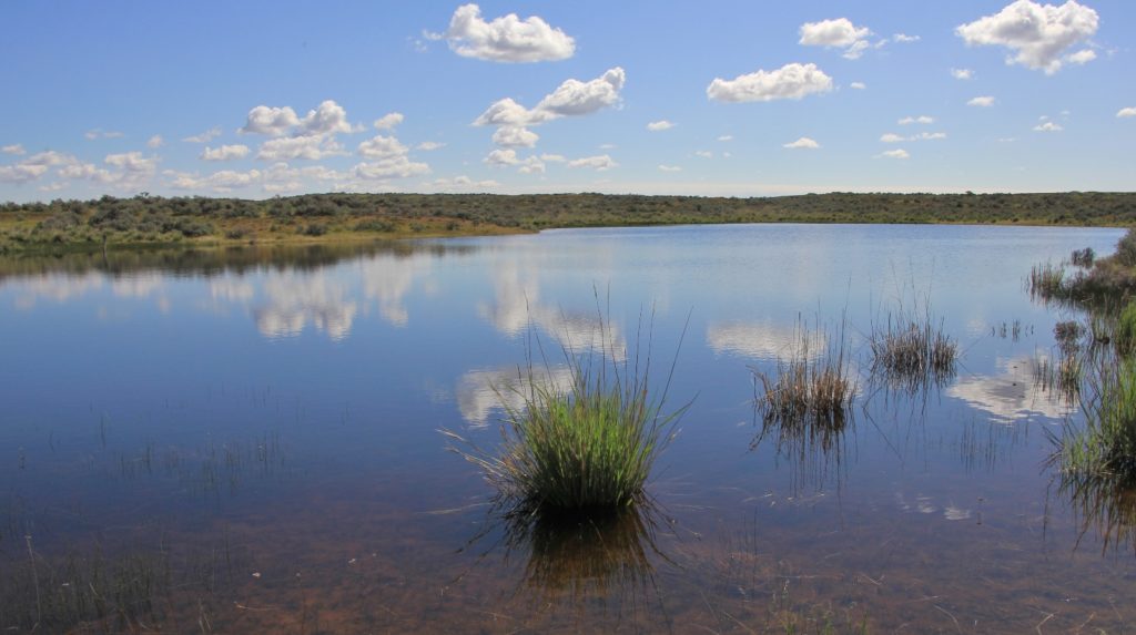
We passed through another gate and soon came to what our map showed as a seasonal lake which was quite large We explored a short ways along the east side before continuing along the trail on the west side. At the south end we passed through our tenth gate of the day.
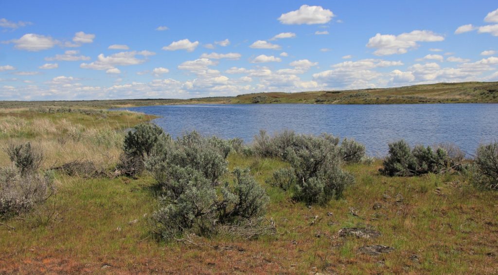
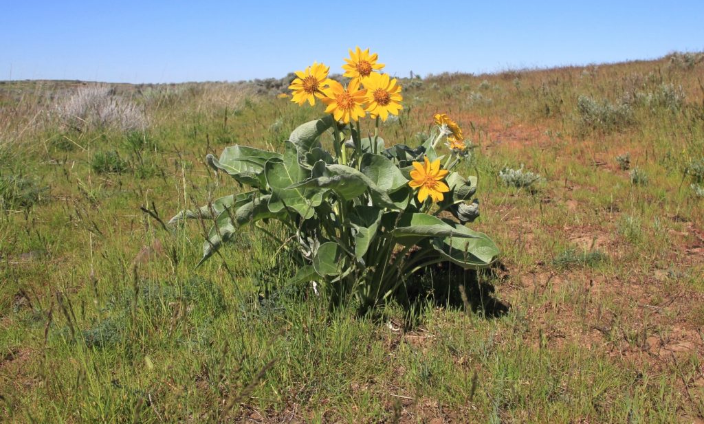
We continued past another couple small lakes and finally came to a crossing with the road we had driven in on. We turned up the road (away from the lakes) and went a short distance before rejoining the trail on the other side of the road. This dropped us down through a pretty little canyon loaded with balsam-root and views down onto Twin Lakes.
Soon enough, we looped in with the road as it made its final descent down to Twin Lakes and back to the trailhead.
Directions to trailhead: from SR-28 on the northern edge of Harrington, WA, turn west on Coffee Pot Road. Shortly after the road makes a sharp bend to the right, Coffee Pot Road turns to the left. It is easy to miss this turn and continue straight on Rocklyn Road! 13.5 miles from Harrington, turn right onto Highline Road. Drive 1.3 miles and turn right at the sign for Twin Lakes. Travel 2 miles on this good gravel road to Twin Lakes. Continue past the campground, bathrooms, and boat ramp to a large parking area by the outlet creek.
Love the blog!
Use to work horseback out there on that BLM section near Rock ranch. Beautiful area and your pictures brought back a lot of great memories chasing cows out there.
How did Lake creek look? What was the average depth if you had to guess.. I know it can get a bit skinny or dry in parts.
Thank you for your nice comments John! I can see you on that horse now- what a wonderful experience that must have been been. It sure is gorgeous there in the spring when everything is green and the wildflowers are blooming. I can imagine it was blazing hot in the summer. I am curious about the history of Rock Ranch. Do you know of any good resources for that? Lake Creek wasn’t any more than knee deep where we crossed. We visited early May of a very wet spring. It sure was some pretty water.
Thanks for visiting & happy trails!
Lusha
As far as a resource I would say call the Spokane BLM office and talk to whoever is in charge of their range division. I cant remember the history. But we did a lot of repairs on the corral and branded calves there. Was lucky that I only saw one rattlesnake my whole summer there.