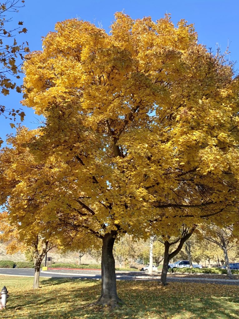
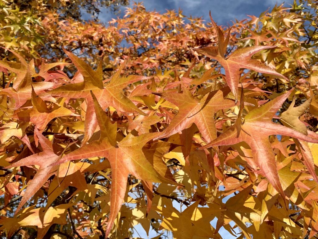
After wrapping up our early fall travels, we settled in at home for a few months. House renovations, a temporary increase in work hours, and family matters kept us busy throughout the fall, but we made time to enjoy some local hikes and fall colors.
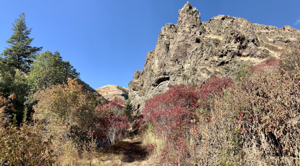
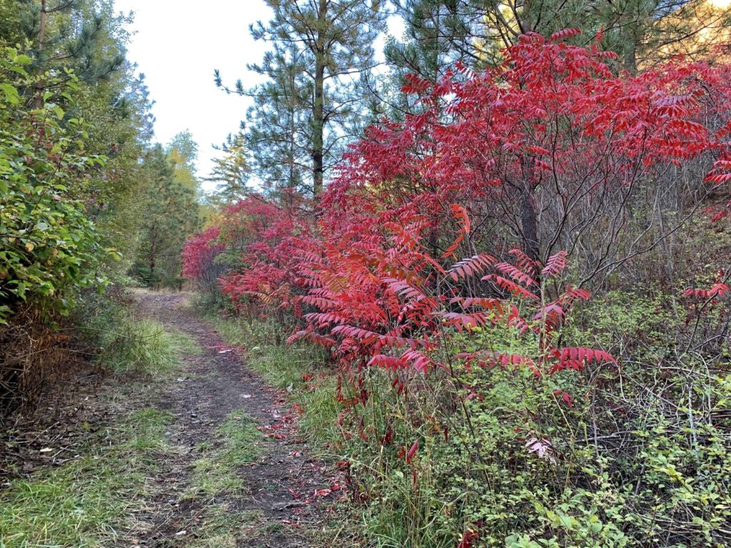
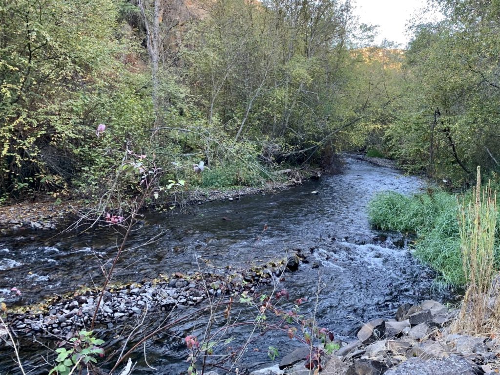
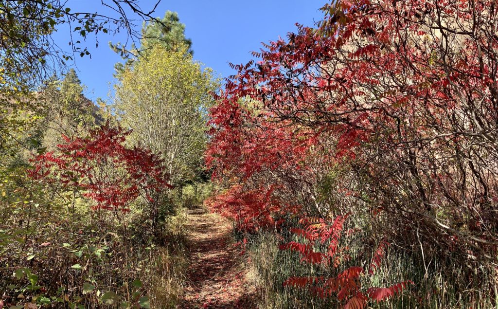
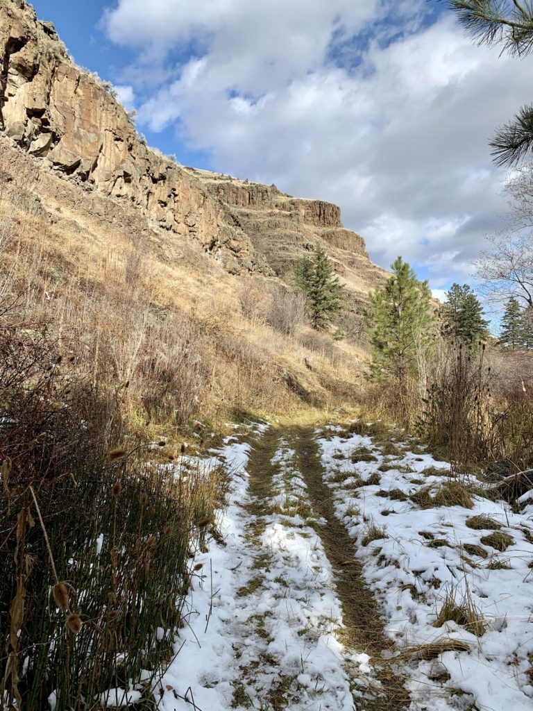
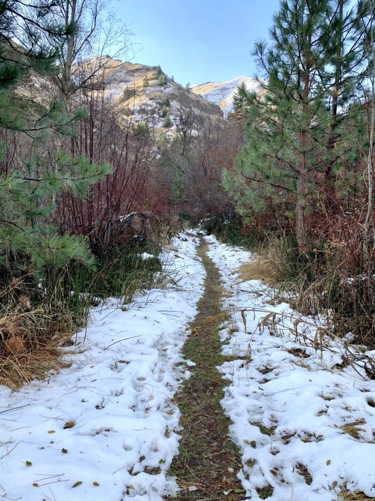
North Fork Asotin Creek
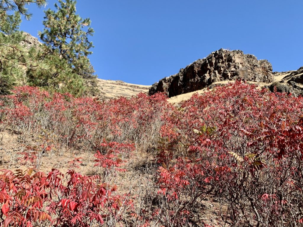
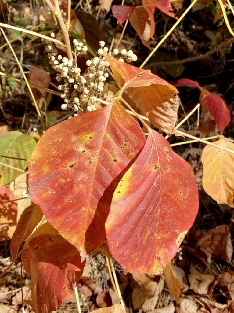
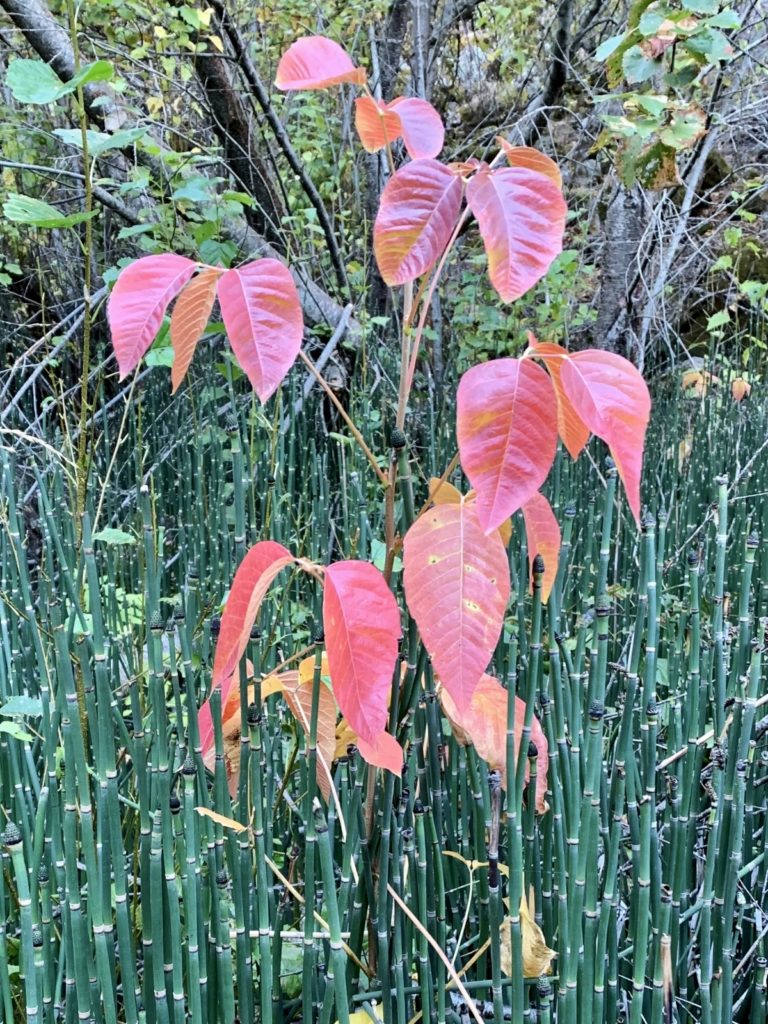
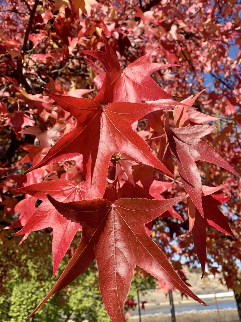
Our regular followers know that the North Fork Asotin Creek is our favorite local hike. We almost always see bighorn sheep and the trail lights up with the colors of fall. We timed a late September visit perfectly and caught the sumacs ablaze in red. Just a few weeks later, we returned to a wintery looking scene.
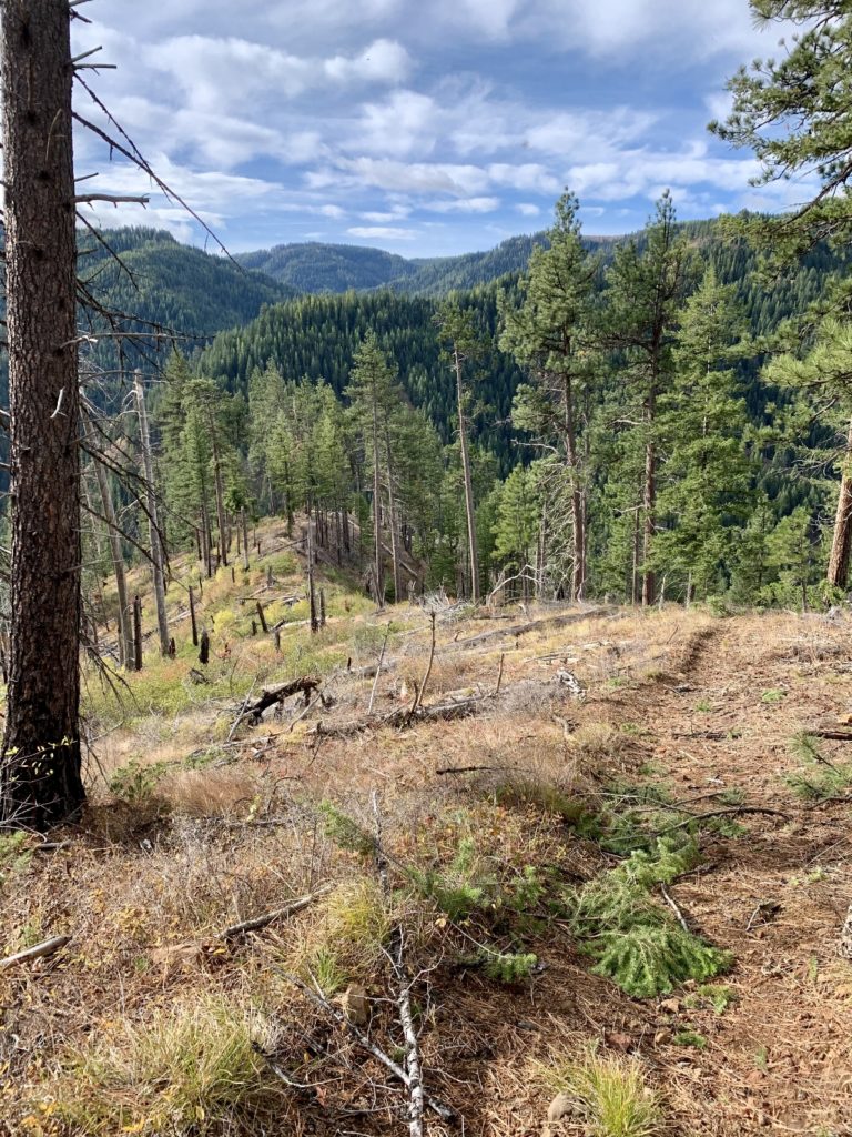
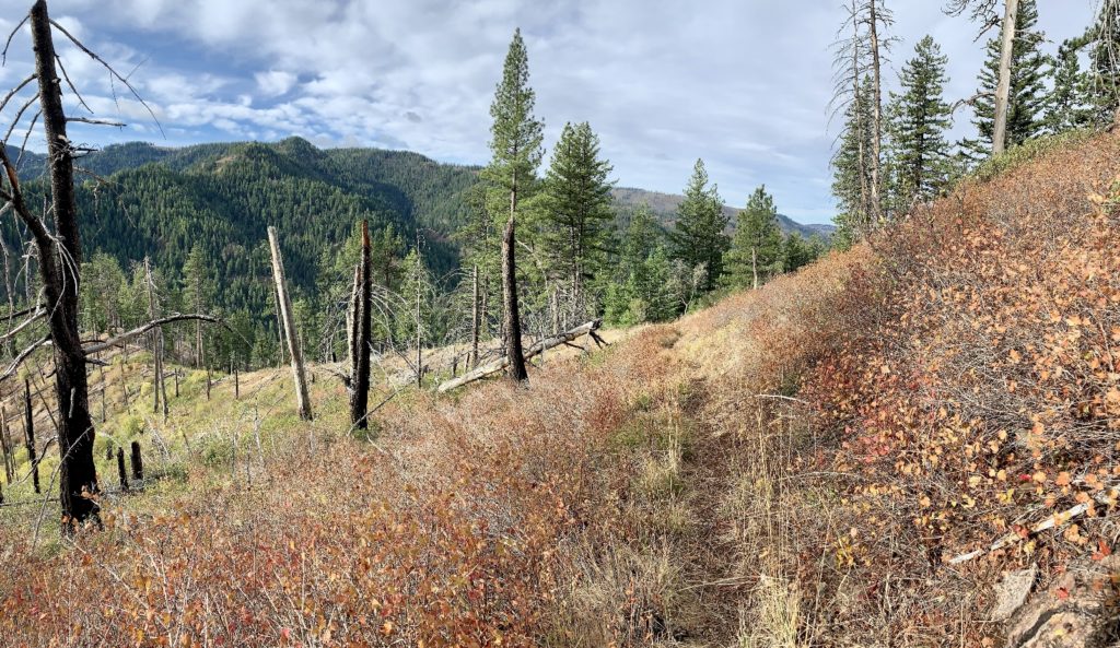
Bear Creek Trail, Umatilla National Forest
Umatilla National Forest is our closest forest access. We both grew up camping, fishing, hunting, and/or picnicking in the area. While it isn’t one of our favorite areas for hiking, it does have a few nice trails. Jason has wanted to check the Bear Creek Trail out for many years. I’ve resisted for three reasons: elevation, elevation, elevation! The trails starts near Teal Spring and plummets a couple thousand feet in just two miles down to the Tucannon River. There are some nice views along the way and we had the trail all to ourselves. This is typically an area rich in wildlife, but I think they all sensed that opening day of hunting season was just a few hours away.
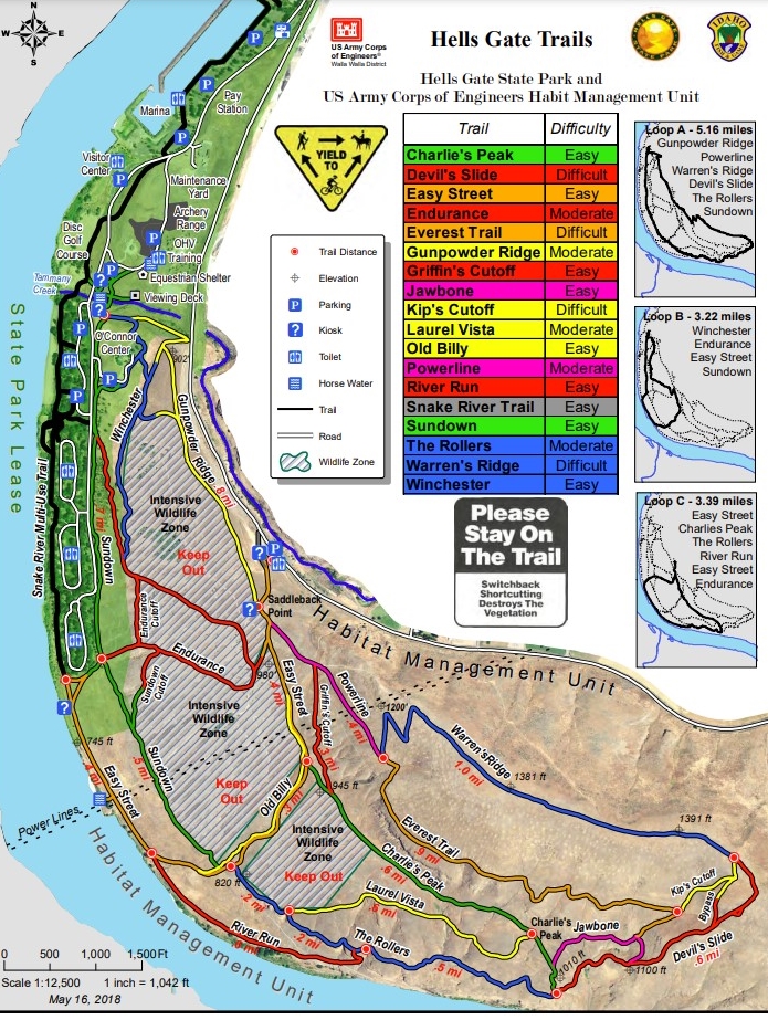
Lewis-Clark Valley
On my working days when we’re short for time, we enjoy the many miles of paved trails that make up the Clarkston Greenbelt Trail and Lewiston Levee Parkway system. The handicapped accessible trails follow the Snake and Clearwater Rivers and pass several ponds where thousands of waterfowl enjoy the relatively mild winters. When we tire of the blacktop, we hit the many miles of dirt trail at Hells Gate State Park in Lewiston or the Chief Timothy Habitat Management Unit just west of Clarkston along US 12. These trails are rarely ice or snow covered and are a great option for staying in shape as the weather deteriorates over the fall.
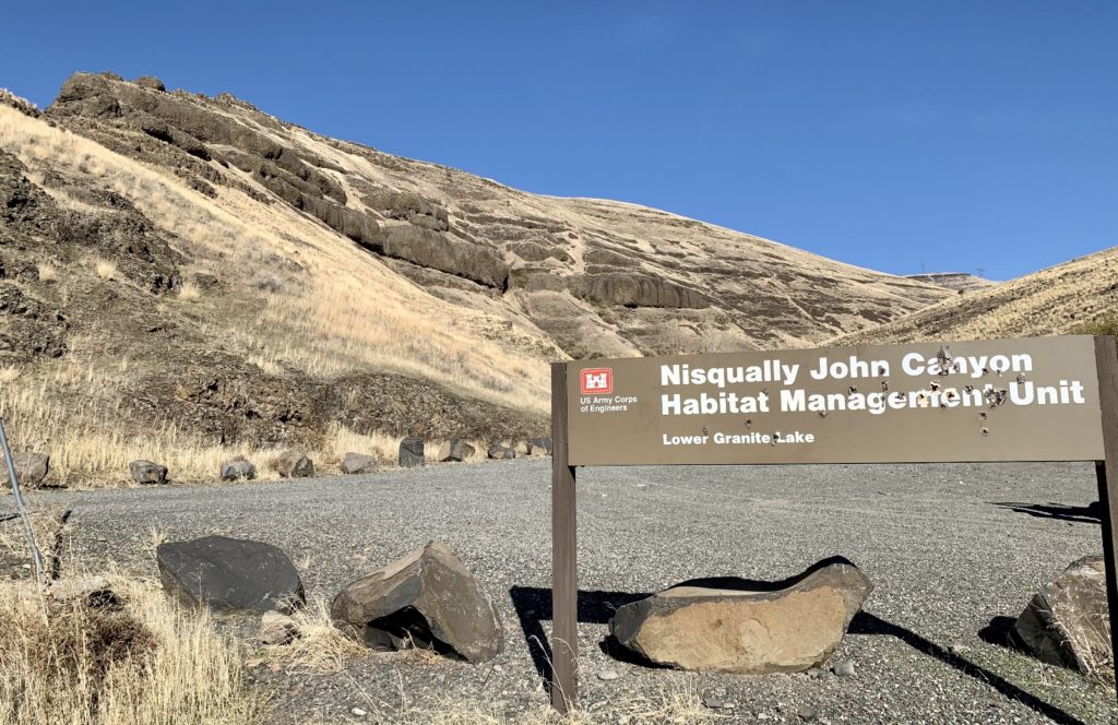
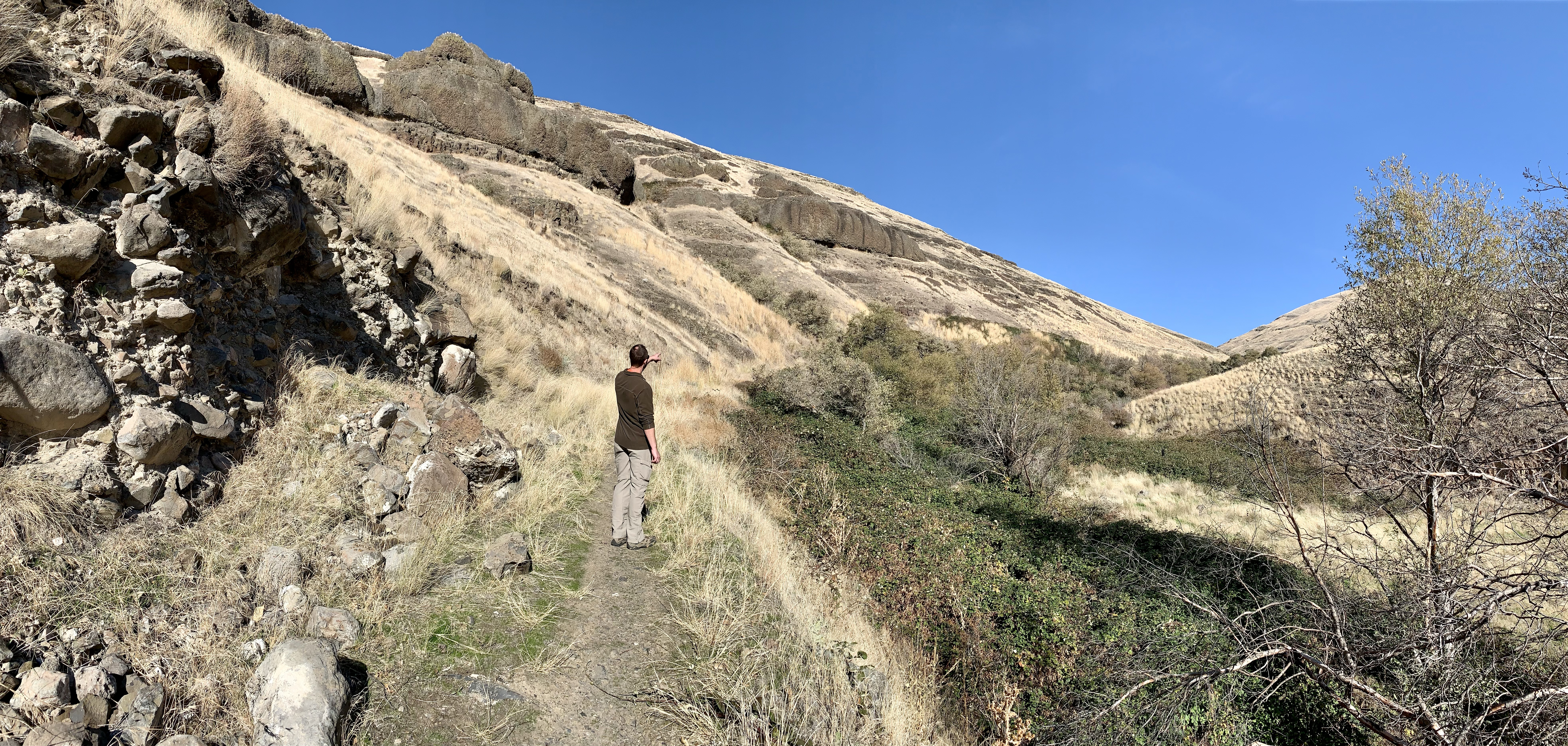
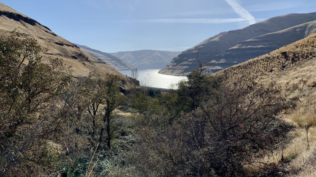
Nisqually John Habitat Management Unit
Thirteen miles down the Snake River from Clarkston, Washington is the Nisqually John Habitat Management Unit. This US Army Corps of Engineers site includes a 2.5 mile canyon up Nisqually John Canyon. The 3,070 acre unit was created as mitigation for land lost when Lower Granite Dam was built. We spent about an hour hiking up the canyon one beautiful October day on our way downriver to meet up with friends. The climb up the canyon is a good little workout with nice views of the river and excellent deer and bird viewing. To reach the well-signed parking area, travel 13 miles west of Clarkston on Wawawai Road.
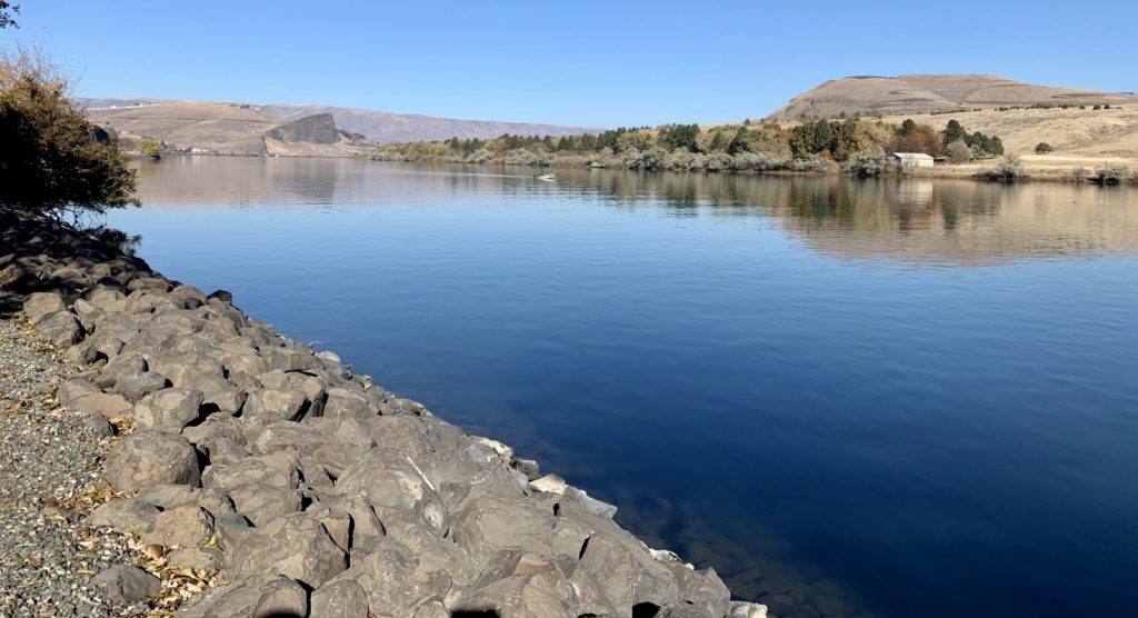
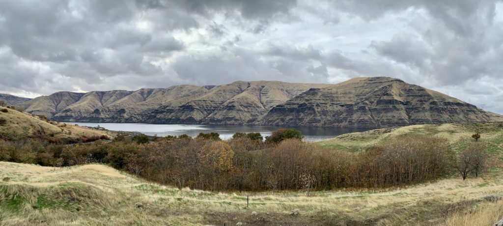
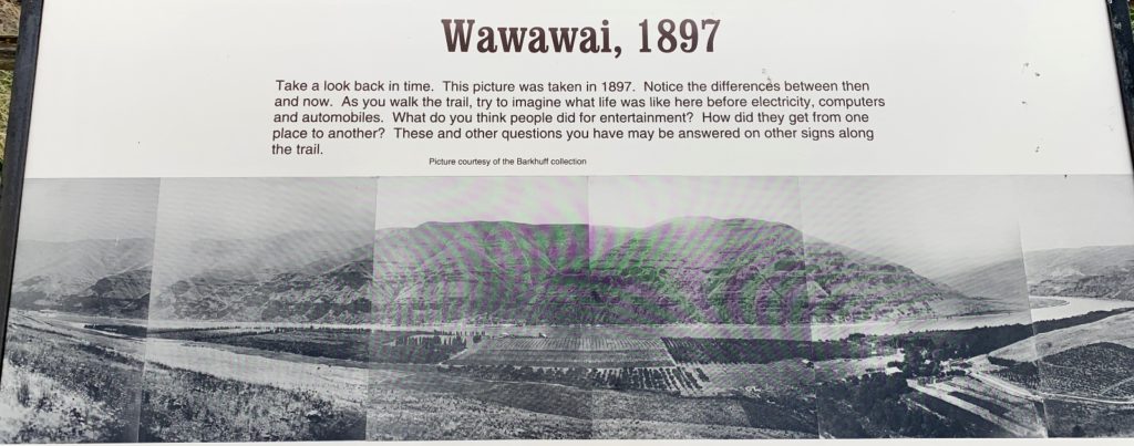
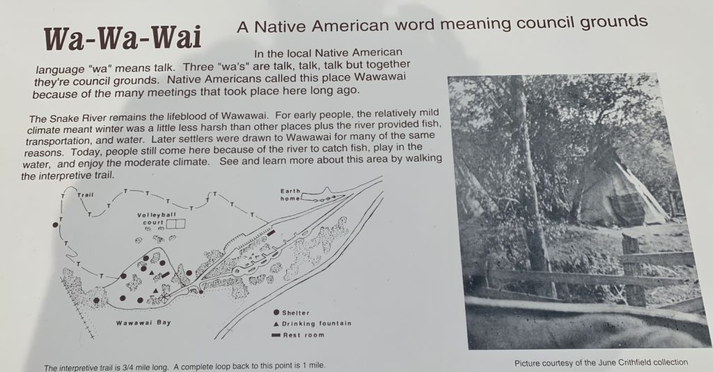
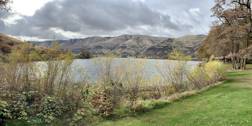
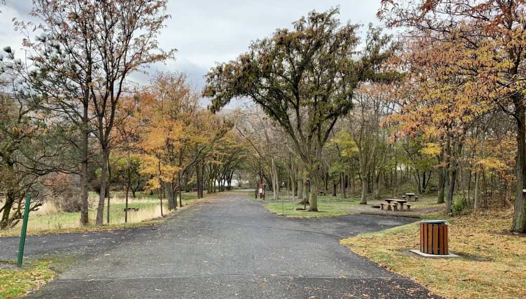
Wawawai County Park
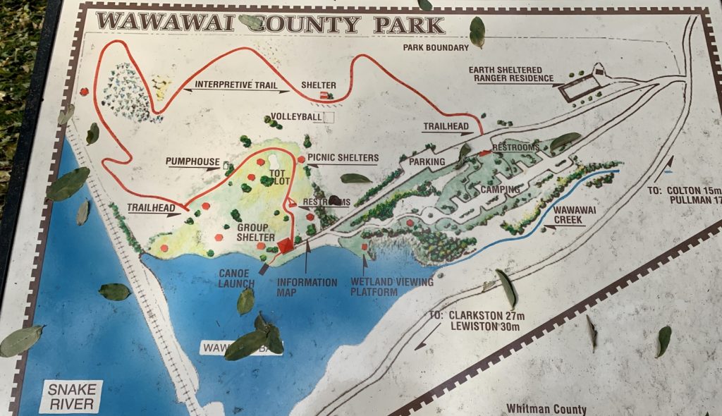
On a cloudy October afternoon, we stopped by Wawawai County Park on a trip home from Pullman. We’ve driven past the park countless times, but never stopped. The park is located along the Snake River, approximately three miles upstream from Lower Granite Dam. The 49 acre park is open year round and features a short hiking trail, picnic facilities, small campground, and nearby boat launch. We did a nice one mile hike along the interpretive trail and through the picnic area and campground.
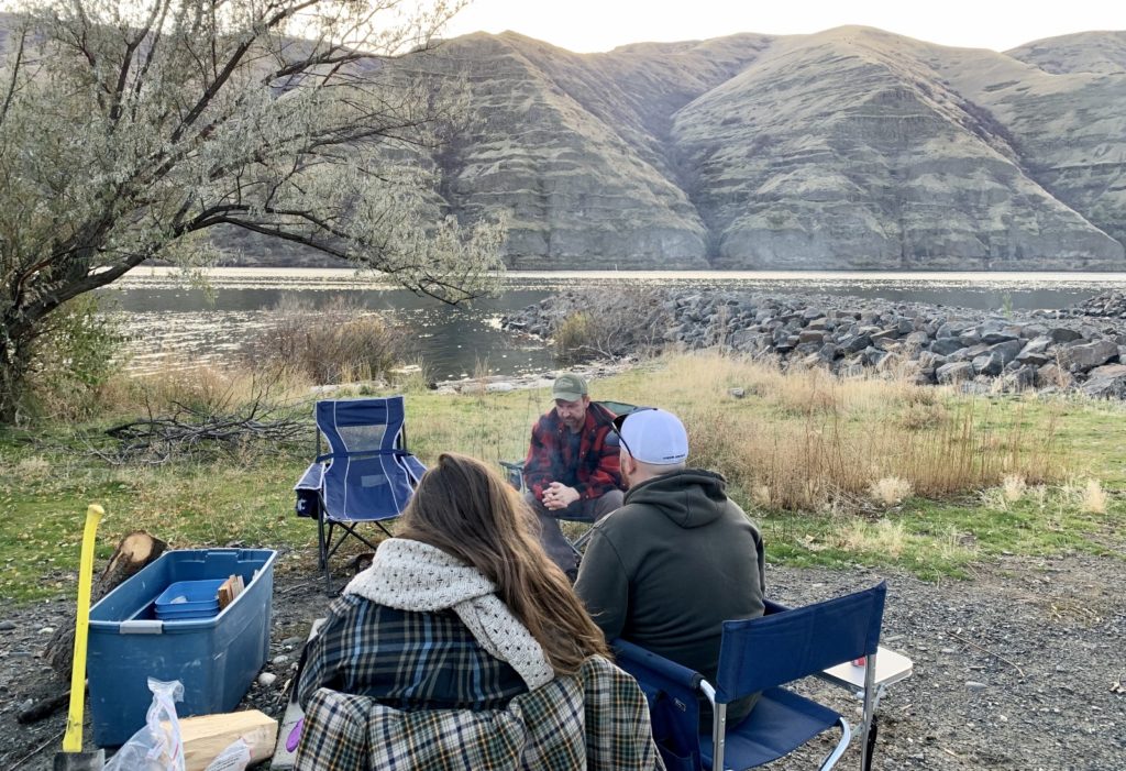
Socializing During a Pandemic
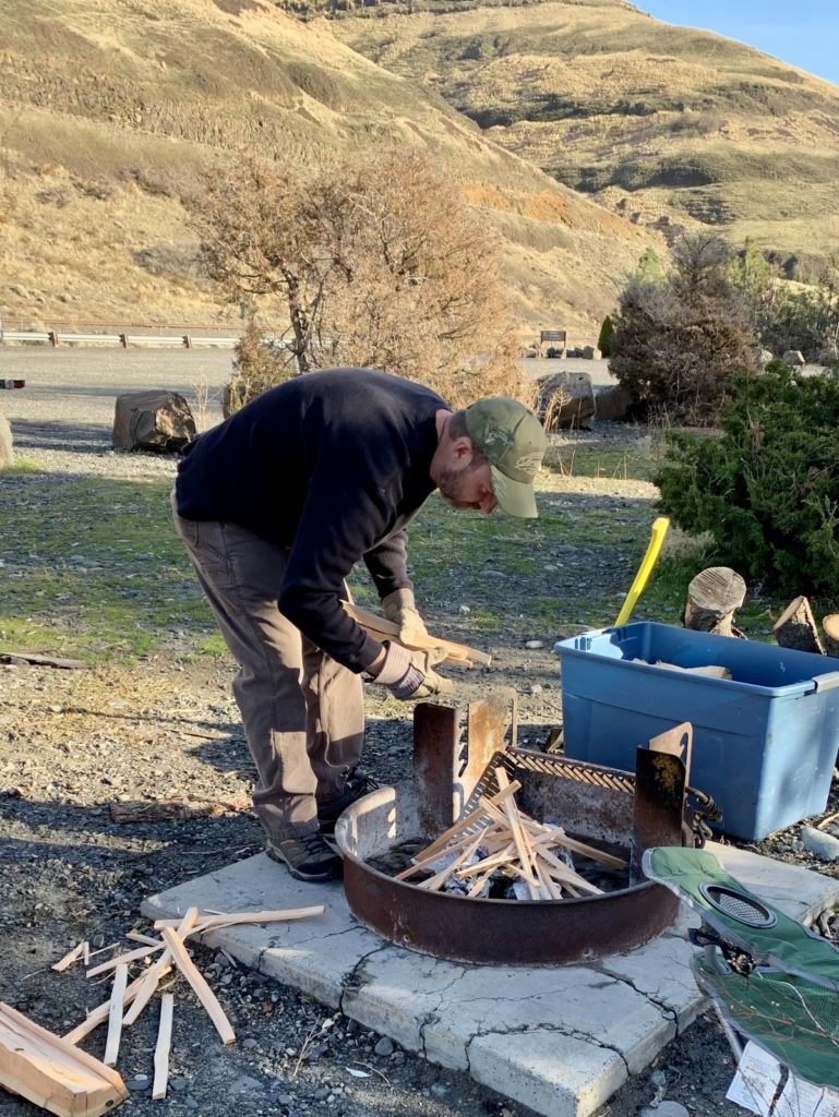
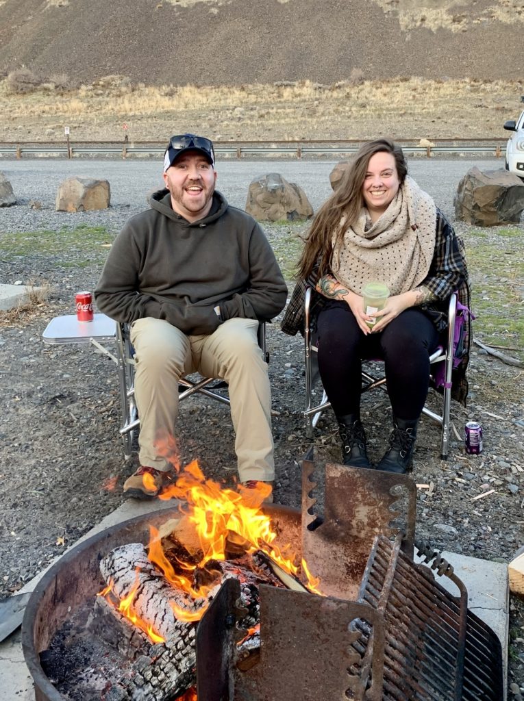
As a microbiologist who has spent nearly 30 years specializing in infectious diseases, I know better than most what it takes to protect oneself from viruses. We’ve been following appropriate and scientifically sound precautions (not politically motivated nonsense) since March. As part of our precautions, we only socialize with friends in an outdoor setting and just a few friends at a time to ensure appropriate distancing. Pandemic aside, we prefer outdoor activities with a small group, so this has not put us out at all. Our favorite fall social activity was meeting friends along the Snake River for a bonfire. We did this several times and it was a nice distraction from the toxic 2020 Presidential Election and these uncertain times.
Happy Holidays
Happy holidays to all our followers. We hope that you have a safe and warm holiday season and that 2021 will bring a return to normalcy. Please stay safe and have happy trails.
Related Posts
Fall 2020, Part 1: Here Fishy, Fishy
Very nice post of our local area and all it has to offer, even during these trying times for everyone! I recall the wonderful time we had with Grandpa Rod and Uncle Don up Asotin Creek the weekend of Thanksgiving about what, 5-6 years ago? We had seen bighorn and several birds and wildlife on the trail. Love this area!!!