October 2023
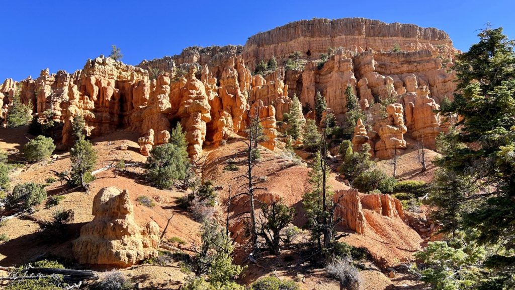
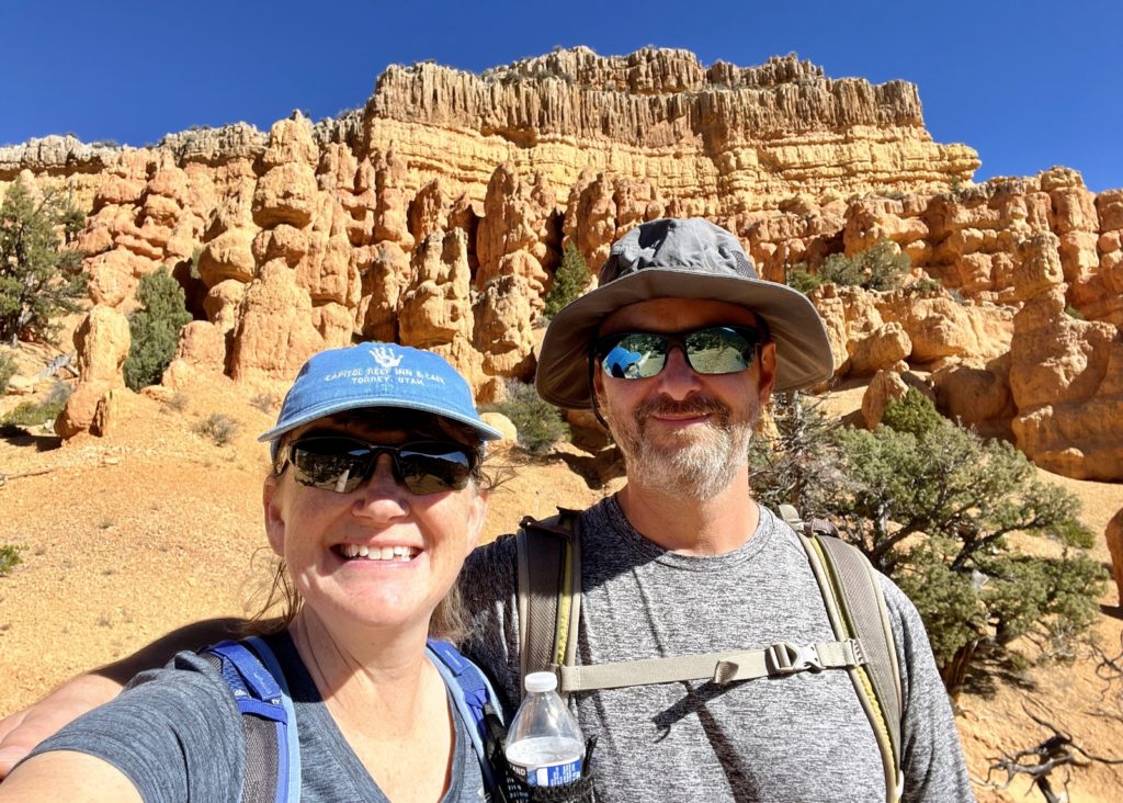
Any time we visit Bryce Canyon National Park, we like to set aside some time to hike at nearby Red Canyon. Red Canyon is a small, but spectacular area of red sandstone spires and hoodoos just west of Bryce. The formations there are similar to those at Bryce, but without the massive amphitheater and without the massive crowds. During our October 2023 visit for the Ring of Fire Eclipse, we spent a few days hiking and biking Red Canyon’s trails.
Red Canyon is located in Dixie National Forest, along Scenic Byway 12, approximately 14 miles west of Bryce Canyon National Park. The Forest Service maintains miles of trails for hikers, equestrians and bicyclists. Check out this Trail Brochure/Map which includes trail descriptions and user restrictions.
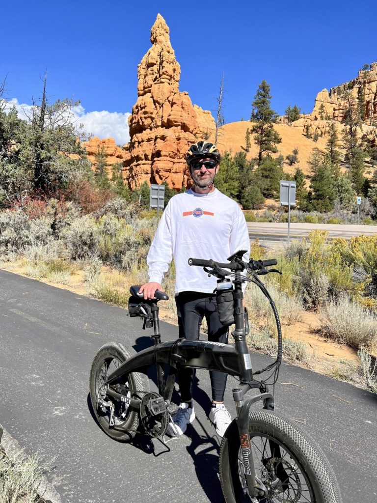
Red Canyon Bicycle Trail
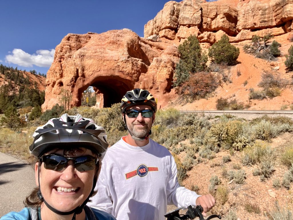
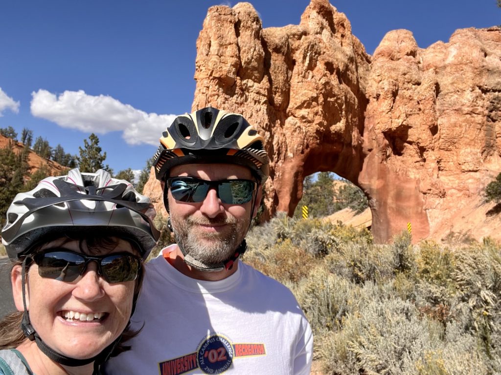
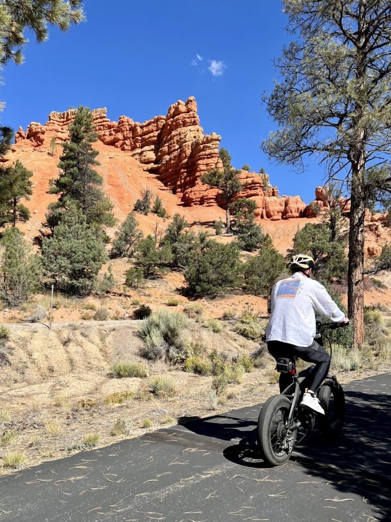
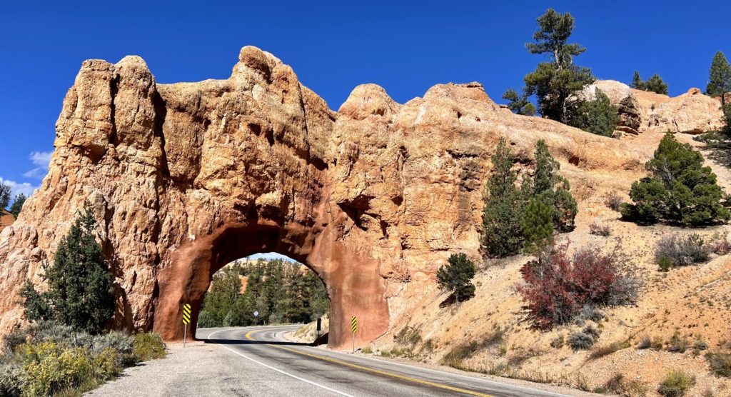
The paved Red Canyon Bicycle Trail parallels Scenic Byway 12 as it climbs past ponderosa pines and stunning sandstone hoodoos. On the west side, the trail begins at the Thunder Mountain Trailhead. The Forest Service brochure states that the trail’s eastern trailhead is at East Fork Road; however, the paved path continues further east into Bryce Canyon National Park. The trail can be accessed at multiple locations along its length. We rode our e-bikes from our campsite along Tom’s Best Spring Road to the trail and then down to the Thunder Mountain Trailhead and back, a distance of 11.0 miles roundtrip. My favorite stops were at Red Canyon’s two iconic tunnels.
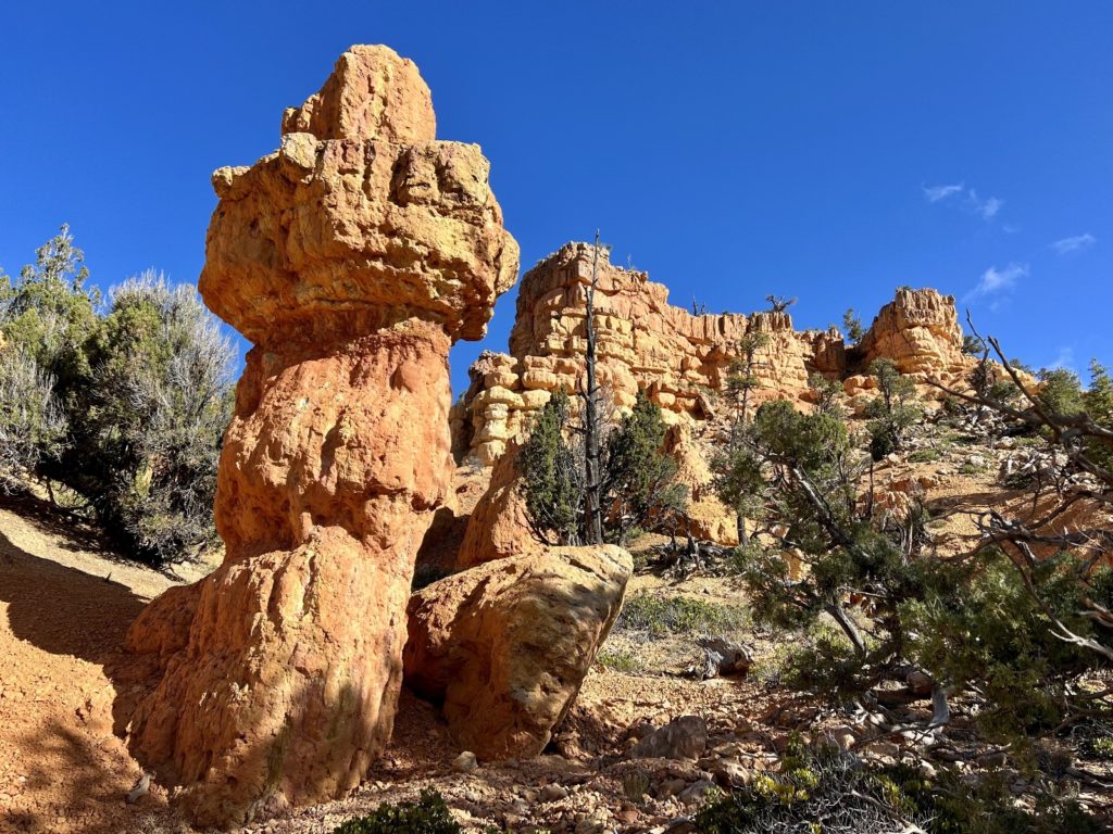
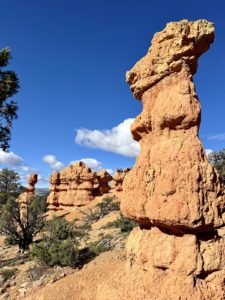
Pink Ledges – Hoodoo – Birdseye Loop
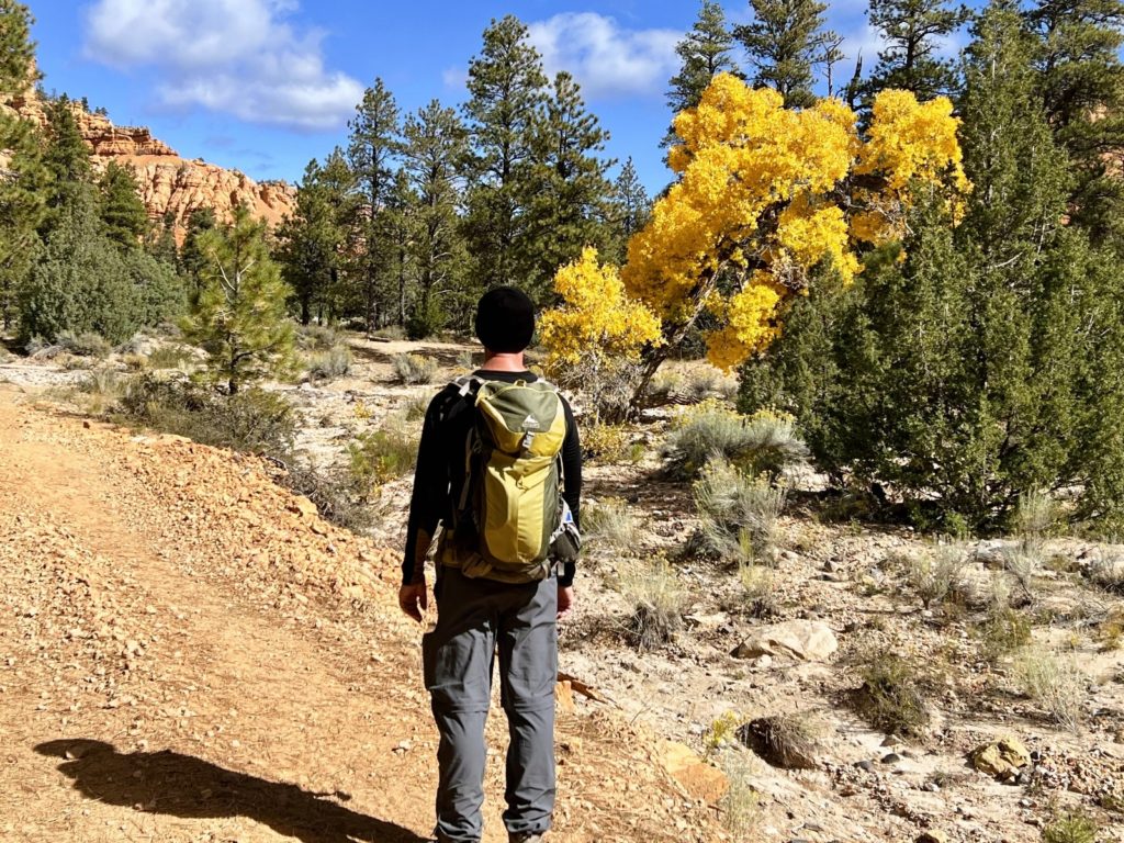
Most people traveling through Red Canyon are enroute to Bryce Canyon National Park. Few stop in Red Canyon and those who do typically just stop at a pullout for a quick photo, but I highly recommend stopping for at least a short hike.

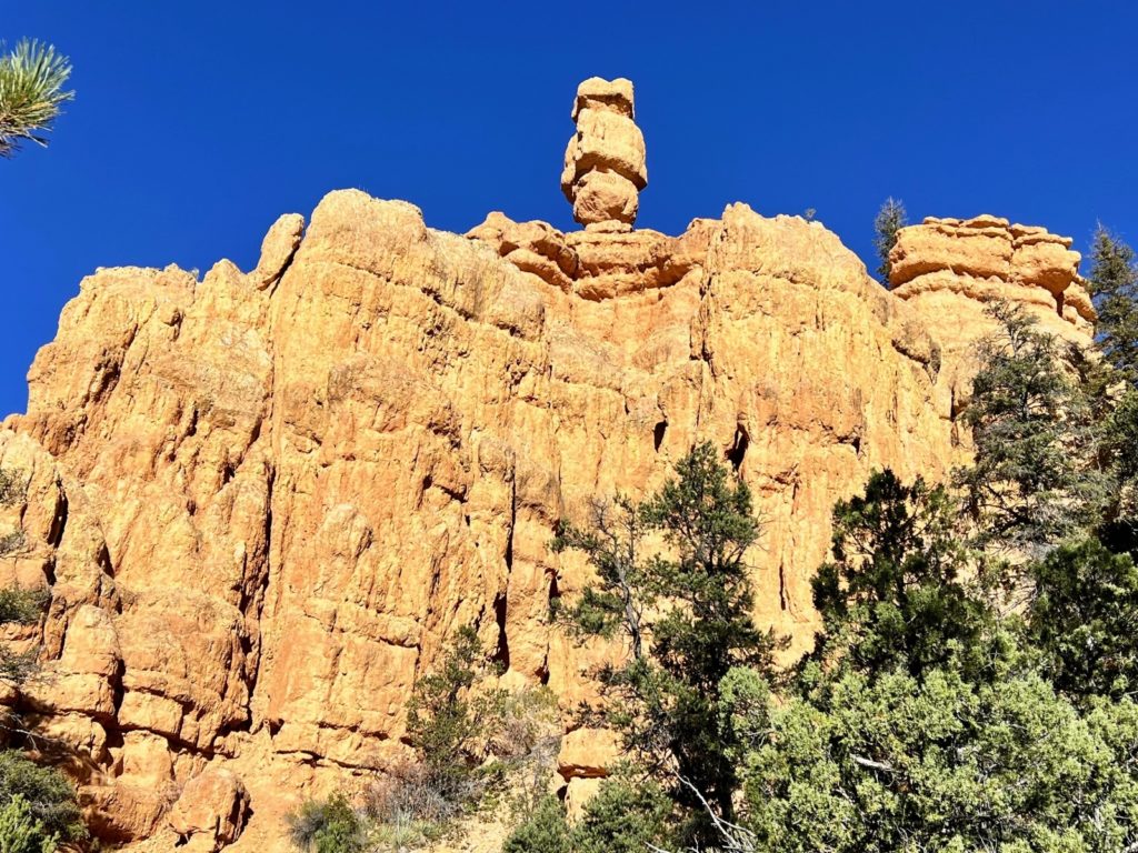
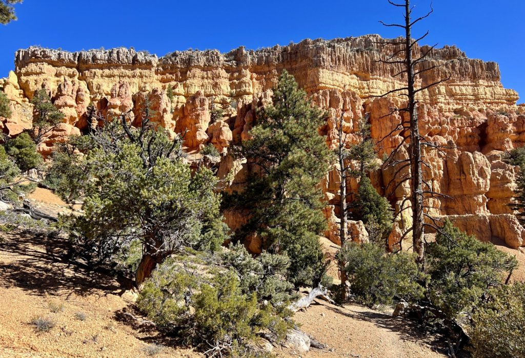
A great option for those with limited time is one or more of the three short trails behind the Red Canyon Visitor Center (Pink Ledges, Hoodoo and Birdseye trails). We combined all three trails with a short section of the Bicycle Trail for a relatively easy 2.25 mile loop. Don’t let the close proximity to the highway deter you, there’s a lot of bang for the buck with these trails! The descriptions below are taken from the Dixie National Forest website. These trails are open to foot traffic only.
The Pink Ledges Trail (0.4 miles one way) is an easy to moderate hike beginning at the restored Podunk Guard Station and ending at the Hoodoo Trail junction west of the visitor center. Hikers will be treated with a close-up view of the incredible geology and plant communities that make Red Canyon a natural wonder.
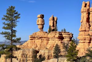
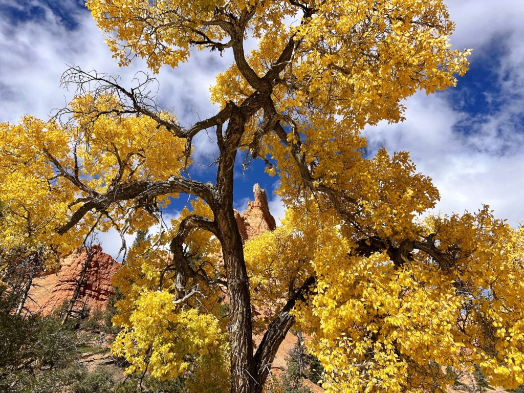
The Hoodoo Trail (0.3 miles one way) is a short hike that will take you through both desert and high plateau vegetation. This trail has a nice view of the two prominent hoodoos in this area.
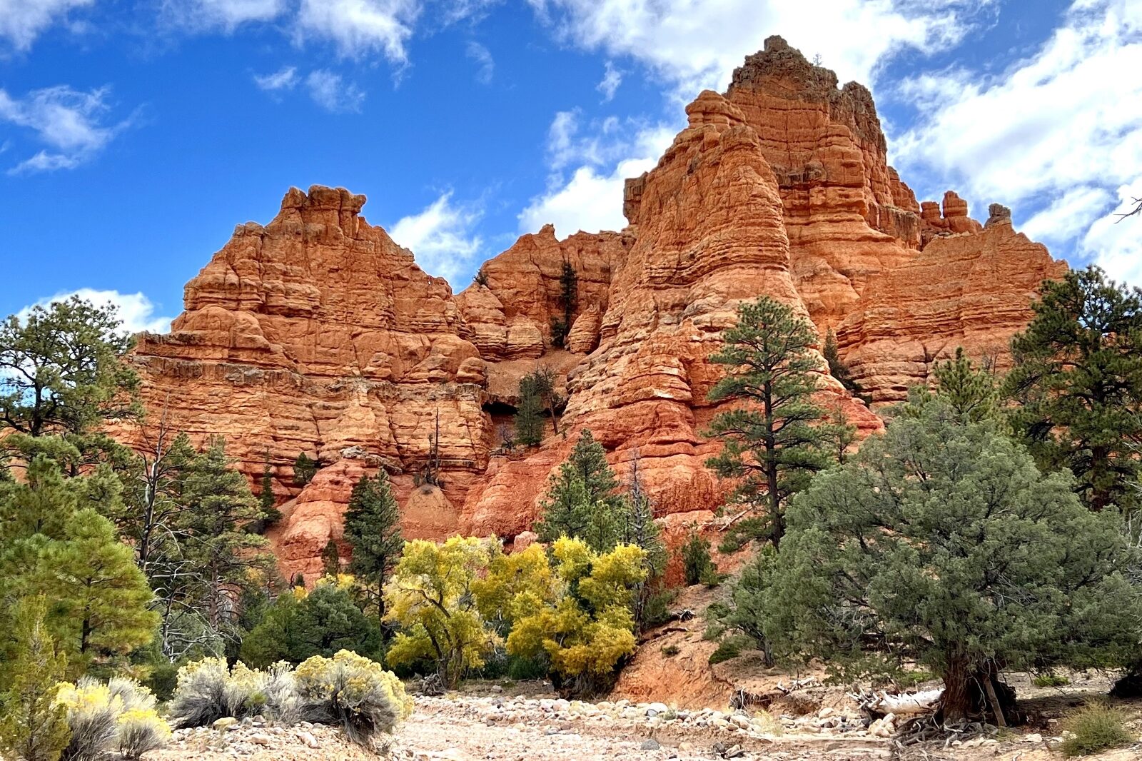
The Birdseye Trail (0.8 miles one way) takes you through the vivid orange and scarlet geologic formations known as hoodoos overlooking Highway 12, offering a birds eye view.
Arches Trail
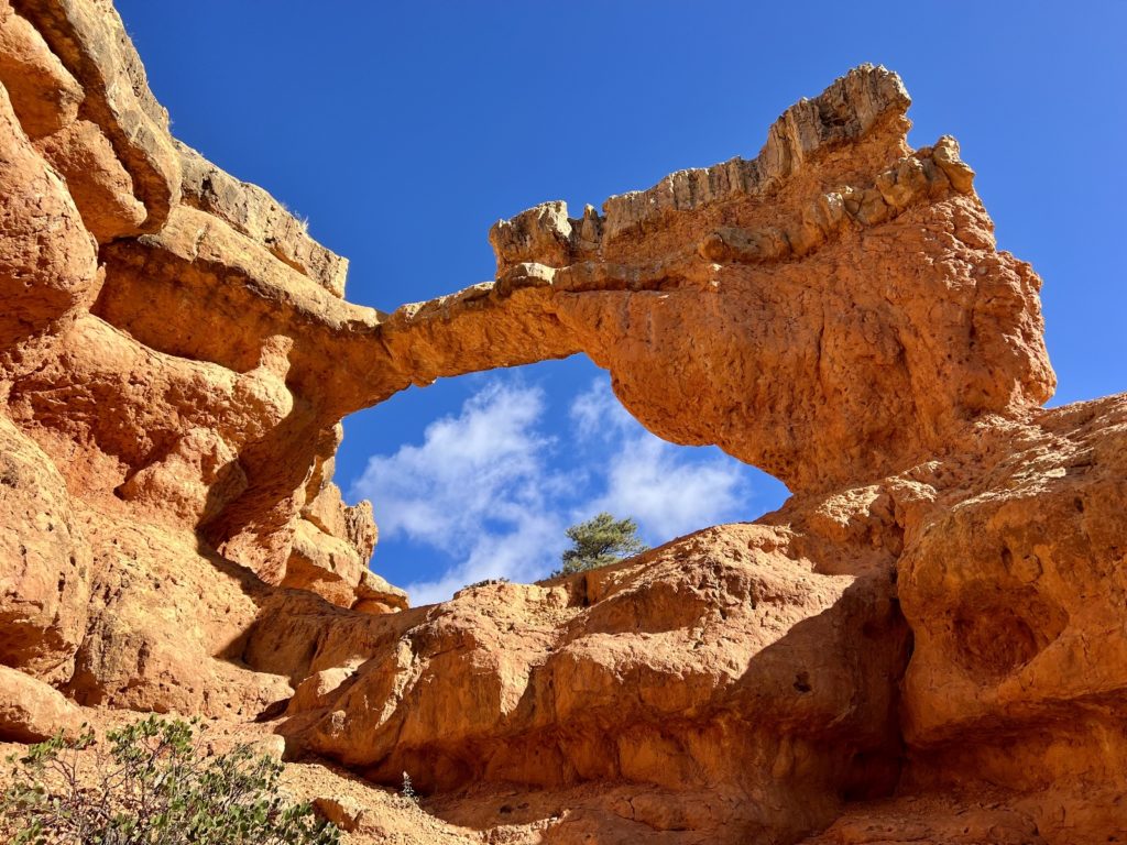
We’ve hiked at Red Canyon numerous times over the years, but one trail we kept missing was Arches Trail. Photos of this loop with its 15 small arches looked stunning, but at just 0.7 miles in length, we always bypassed it in favor of longer trails. We finally tackled this fun and scenic little loop on our way to hike nearby Casto Canyon.
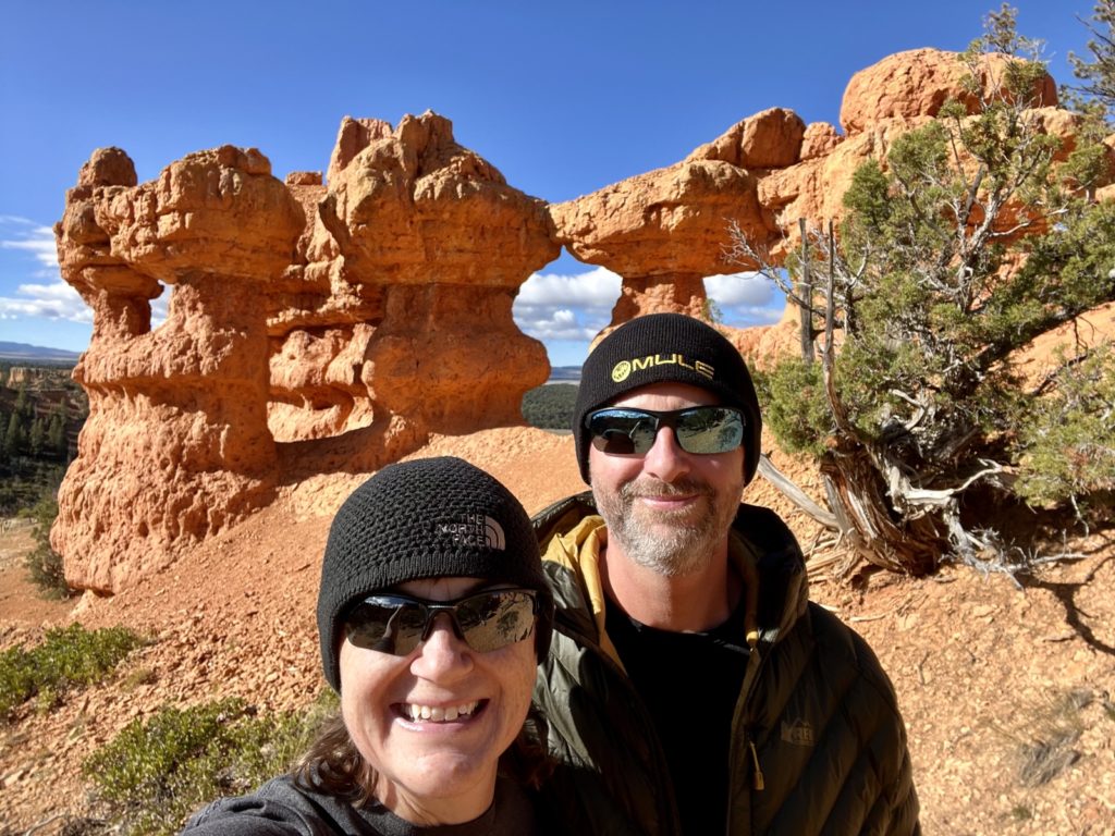
The Arches Trail begins at the Losee Canyon Trailhead. Approximately 2 miles east of the SR 12 / US 89 junction, turn north at the sign for Losee/Casto. Drive 2 miles down the well-maintained gravel road to the Losee Canyon Trailhead. This trail is open to foot traffic only.
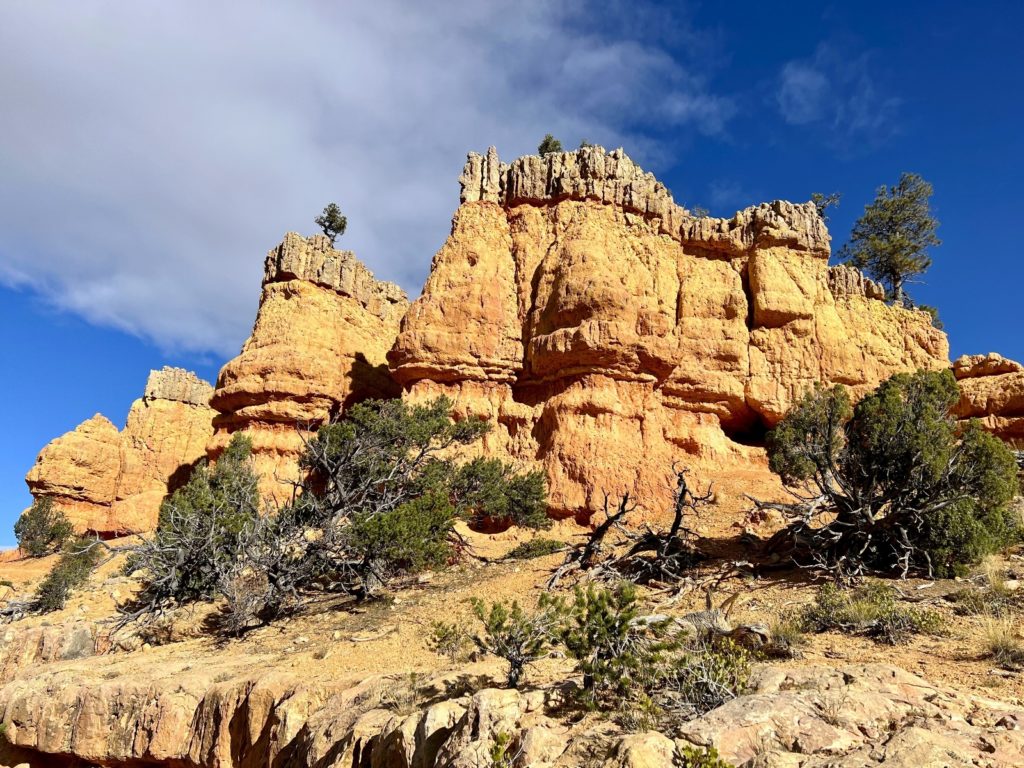
Casto Canyon
Casto Canyon is another trail we had skipped in the past since it is open to OHVs. We don’t have anything against OHVs (we had one for years), but for hiking we generally prefer trails that are closed to motorized vehicles. Casto Canyon’s reputation as one of the most scenic in Red Canyon had us making an exception to our rule. We hiked 5.0 miles out-and-back on the trail and agree that the scenery is spectacular. And we even had the trail all to ourselves! We’d like to go back in the future and combine this trail with Losee Canyon to the south for a 12 mile loop.
To reach the trailhead, drive approximately 2 miles east of the SR 12 / US 89 junction and turn north at the sign for Losee/Casto. Drive 3 miles down the well-maintained gravel road to the Casto Canyon Trailhead. This trail is open to hiking, mountian biking, horse riding, and OHV’s 50 inches or less in width.
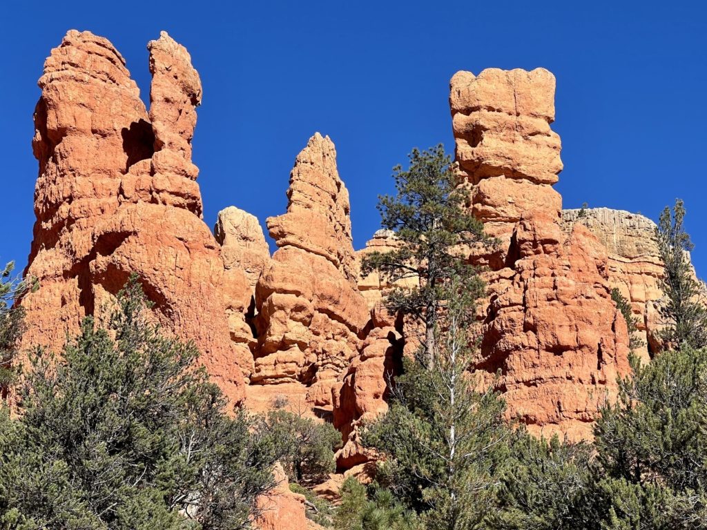
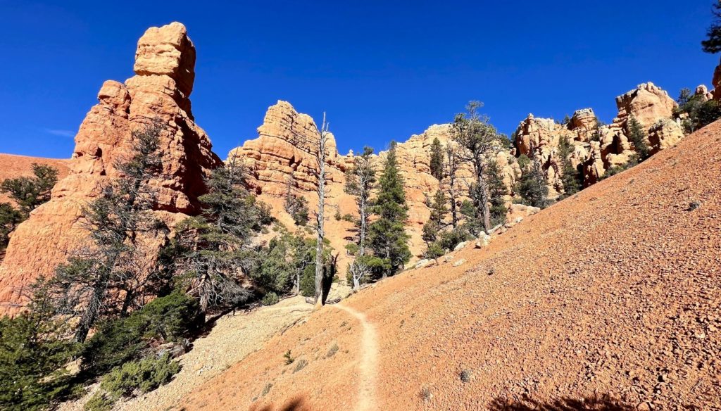
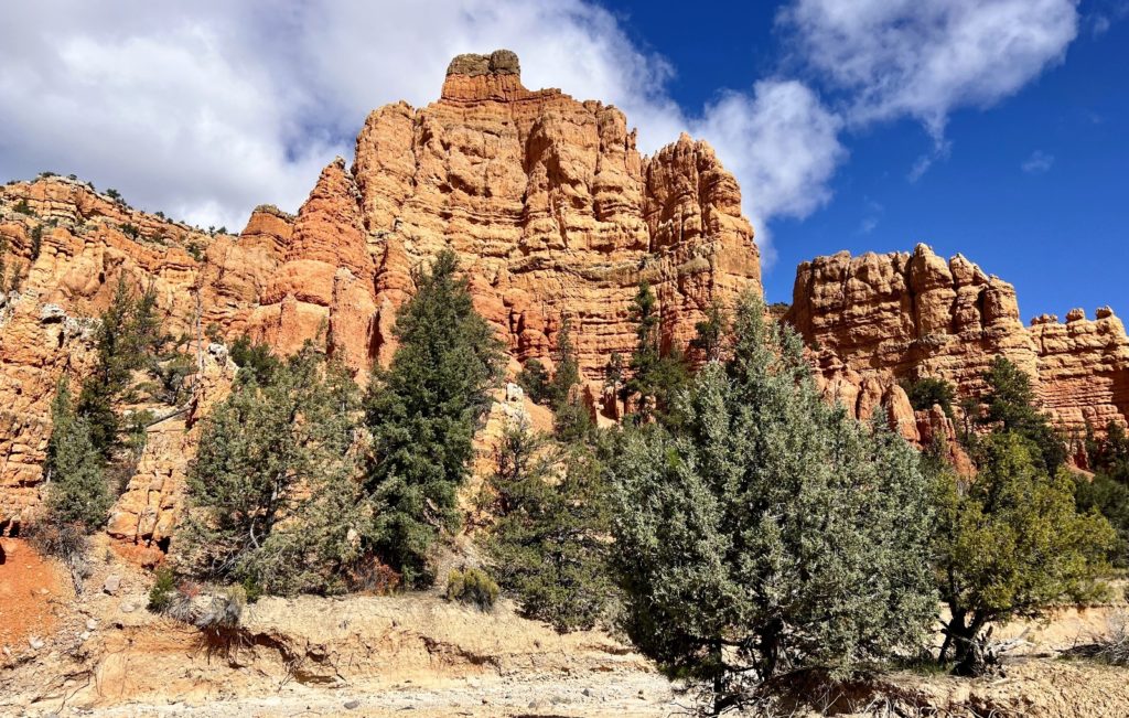
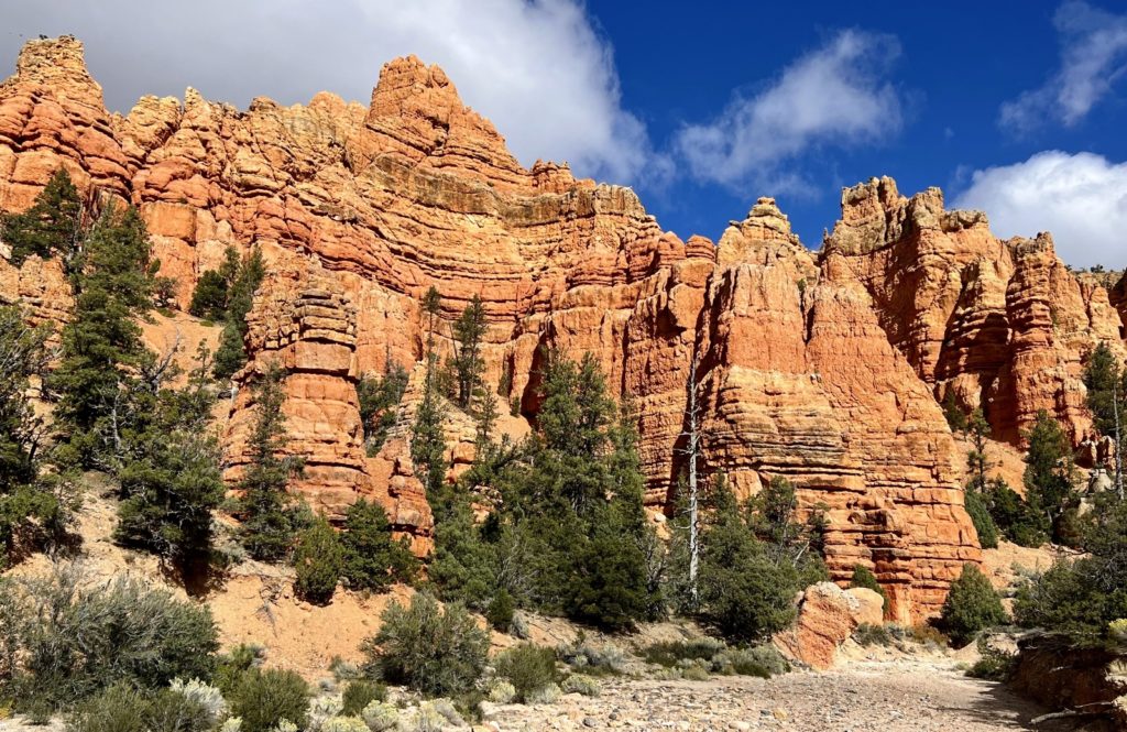
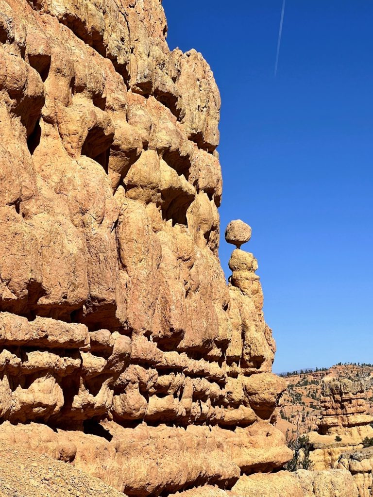
Golden Wall – Castle Bridge – Buckhorn Loop
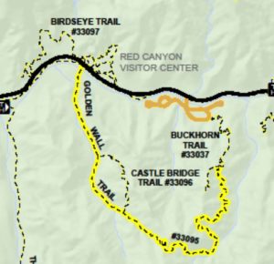
The Golden Wall – Castle Bridge – Buckhorn Loop is a favorite of ours. There’s enough elevation gain to feel like you’ve done something, the scenery is spectacular, and you’ll see very few people. This was our third time hiking it and it still makes for a great day on trail.
We like to park at the Red Canyon Visitor Center, hike up the Golden Wall Trail, take the Castle Bridge side trail (this stretch is a bit more difficult than staying on Golden Wall), drop down via Buckhorn Trail, and return to the Visitor Center on the Bicycle Trail. This makes for a fantastic 5.0 mile loop with a little over 1,000 feet elevation gain.

The Adventure Continues
Join us for our next post as we return to Bryce Canyon National Park for two of our favorite Utah hikes. And don’t forget to check out our Amazon RV and Adventure Gear recommendations. We only post products that we use and that meet the Evans Outdoor Adventures seal of approval. By accessing Amazon through our links and making any purchase, you get Amazon’s every day low price and they share a little with us. This helps us maintain this website and is much appreciated!
Such a spectacular place! The fall colors are beautiful and really stand out with the red rock. We would love to go back someday soon.
Sure was a fun trip through there in 1988 (wow, that’s a lot of years ago!). That started my love for the Southwest!
I’m putting these on my list!
I think you and D would really enjoy any of them!
Beautiful photos!