Fun day exploring Mosier Falls & the historic Mosier Twin Tunnels
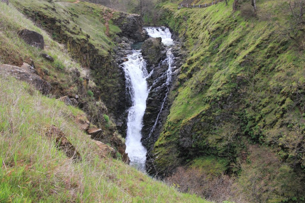
Mosier Falls: 0.5 miles roundtrip out and back
Mosier Twin Tunnels: 7.25 miles roundtrip out and back on paved trail (you can easily make this shorter or longer and a shuttle option is available)
Best season: accessible most of the year, but best in spring, summer, and fall
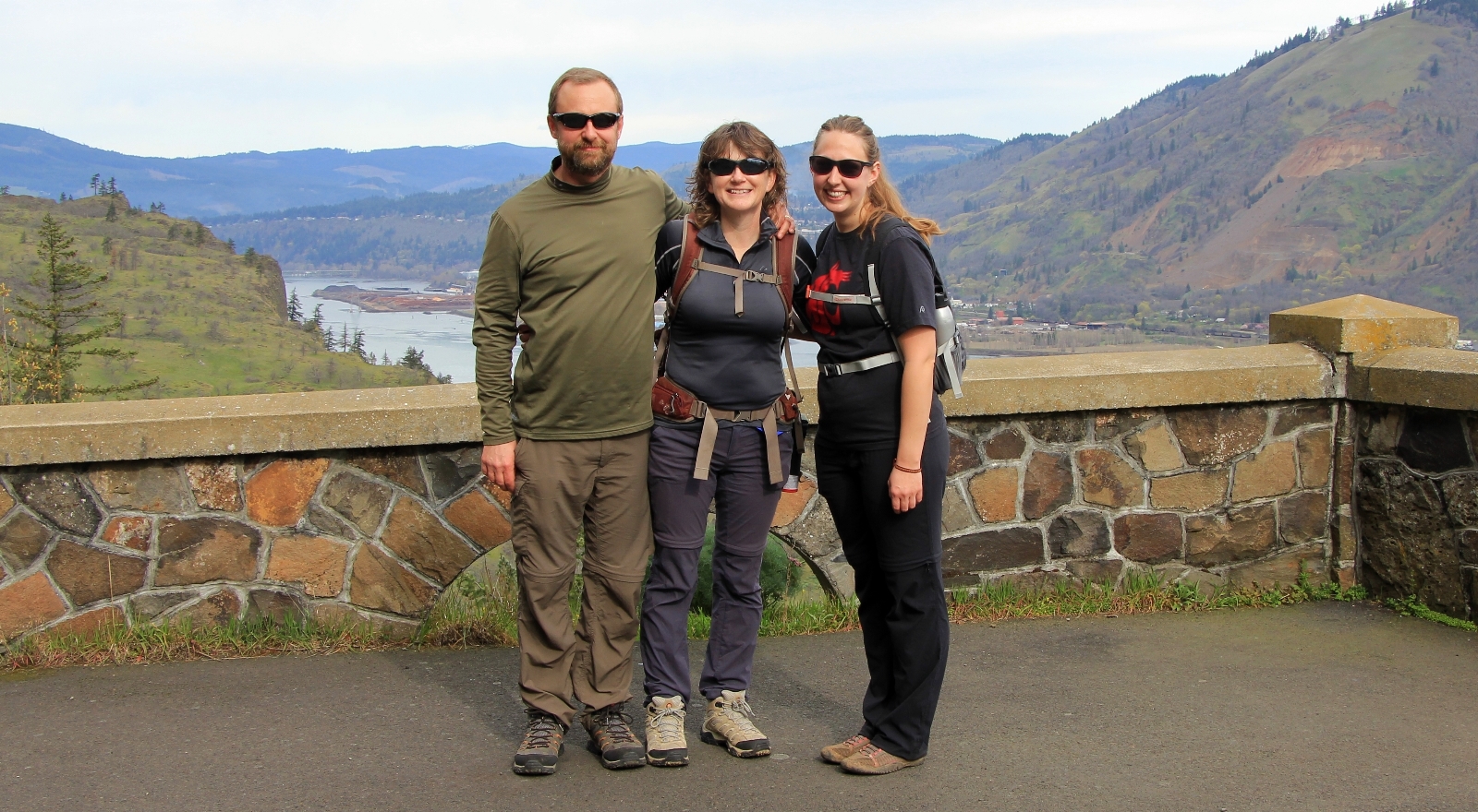
Day two of our Good Friday weekend. We’d had a nice hike up the Deschutes River Trail the day before, but I was especially excited for this day—we’d be meeting up with good friend Michelle. Michelle had been an employee of mine when I managed at Washington State University. I’ve hired quite a few people over my career and she ranks right up there at the top of the “SCORE” list. She is an exceptionally bright and lovely woman and it was going to be wonderful to see her again.
We started our day with a hearty breakfast at Cousins in The Dalles. Cousins has good home-style food and the staff is very friendly. You can’t beat a place that brings you complimentary homemade cinnamon rolls with your coffee!

The plan was to meet Michelle in the small historic town of Mosier. We drove the Historic Columbia River Highway from The Dalles, up and over the Rowena Plateau, and down into Mosier. Conditions were cold and cloudy on this last day of March with a temperature of just 34 degrees up at the Rowena Viewpoint. The Rowena Plateau and Tom McCall trails are high on my bucket list, but on a sunnier and warmer day when the wildflowers are blooming. Arriving in Mosier, we found an adorable little community with a history closely tied to the mighty river it overlooks.
Seeing Michelle, it was hard to believe we hadn’t seen one another for three years. We fell into comfortable conversation like it had been three days. It was such a treat getting to catch up and hear about her life since college graduation. It was no surprise that she was already a huge success in her career.
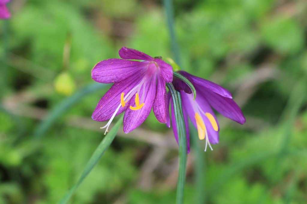
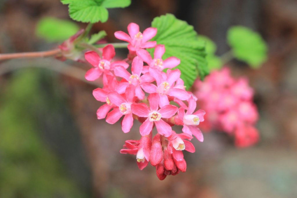
Our first hike of the day was a short 0.5 mile trek up to Mosier Falls. The trail continues past the falls and up to the Mosier Plateau. I’m guessing this is a nice trail with good views of the river gorge, but it would have to wait for another day.
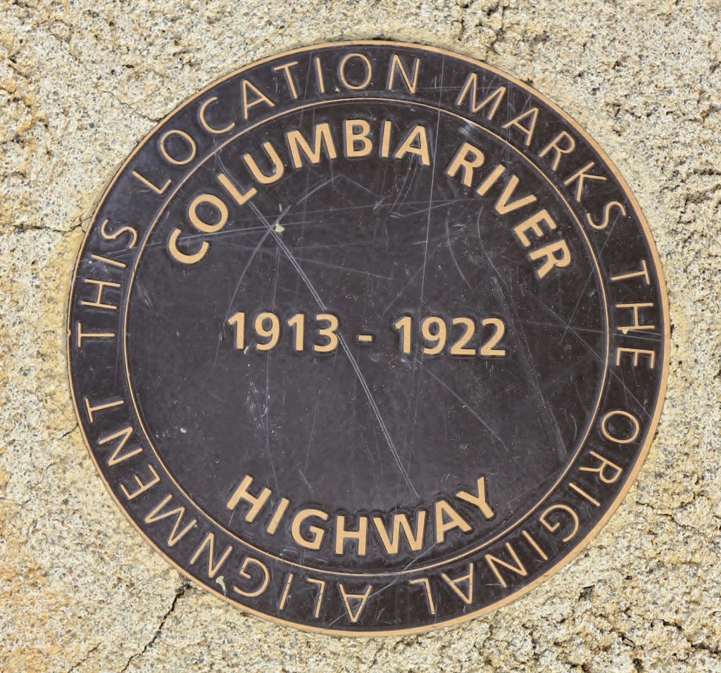
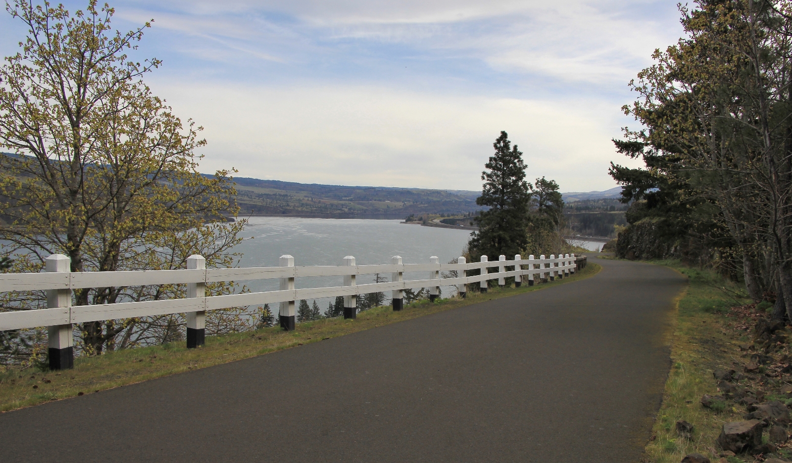
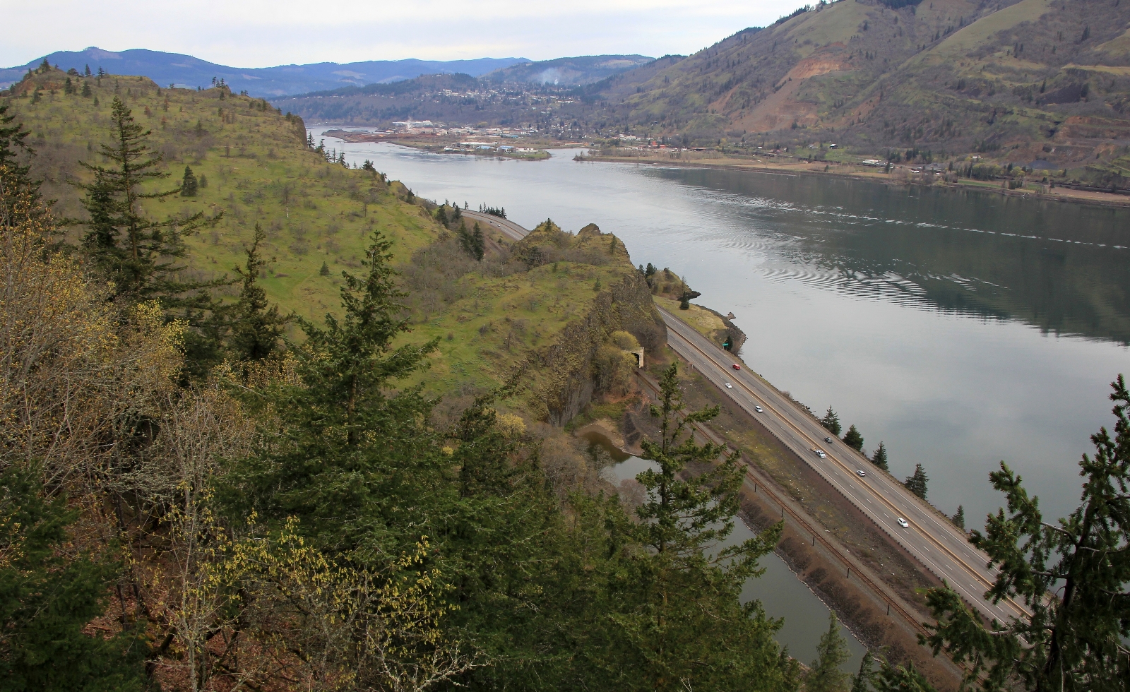
Next we made the short drive to the Senator Mark O. Hatfield Trailhead East along the Historic Columbia River Highway State Trail (click here for area map) where we began our hike to the reconstructed Mosier Twin Tunnels. Their history, and that of the historic highway, is best described with excerpts taken from the website columbiariverhighway.com
The relationship between the Columbia River Gorge’s natural landscape and the constructed designed landscape of the Historic Columbia River Highway is told best by Samuel C. Lancaster, engineer and landscape architect. He wrote, “There is but one Columbia River Gorge [that] God put into this comparatively short space, [with] so many beautiful waterfalls, canyons, cliffs and mountain domes.”
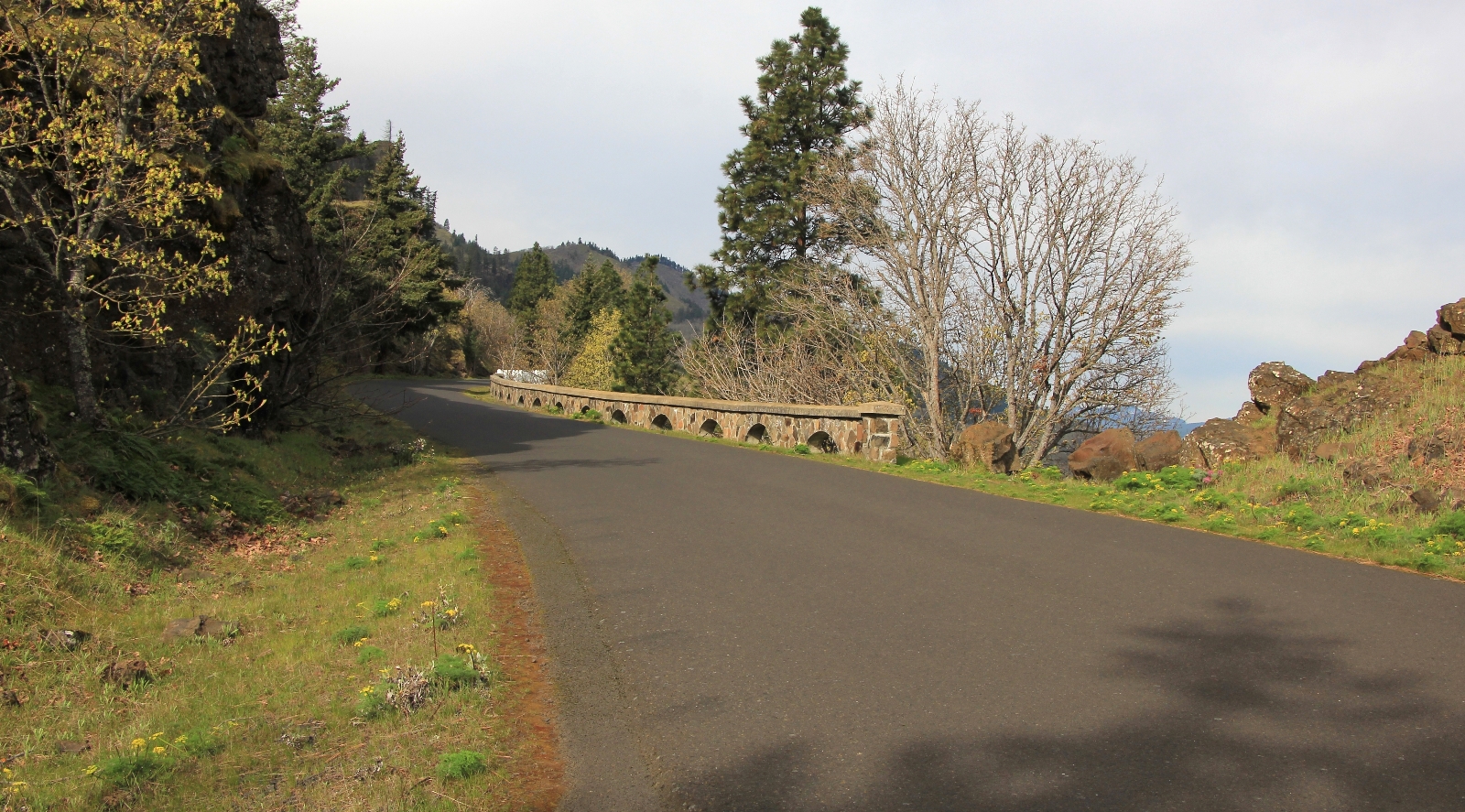
Several benefactors purchased waterfalls and other sites lining the Gorge for parks along the Columbia River Highway. Lancaster’s Highway included designed landscapes at these locations. The masonry guard walls, retaining walls, and bridges on the pedestrian trails closely resemble those seen along the Historic Columbia River Highway itself.
More popular than its promoters ever envisioned by the 1930s, the Columbia River Highway was showing signs of early aging. Soon the route so marveled for its advanced engineering, was deteriorating. By the late 1930s, construction of Bonneville Dam caused a realignment of a portion of the Highway near Tooth Rock and Eagle Creek. This marked the first major alteration of the route.
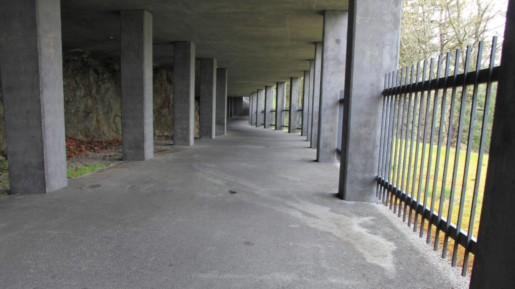
By the 1950s, much of the original alignment from Cascade Locks to Hood River had been sacrificed for the new water-level route. The Historic Columbia River Highway from Hood River to Mosier, including the Mosier Twin Tunnels, was also abandoned. The Tunnels were filled with rubble and allowed to “melt” into the rugged landscape. Throughout abandoned segments, walls fell over and perennial weeds grew through the pavement.
By the 1980s, public interest grew for returning drivable portions of the Historic Columbia River Highway to their 1920s appearance–based on careful documentation–and rehabilitating abandoned segments for trail use. Since then, drivable portions of the Historic Columbia River Highway, its masonry structures, bridges, and culverts have been repaired or replaced. Several contiguous segments of the Historic Columbia River Highway State Trail, from Moffett Creek to Cascade Locks, are open for hiking and biking.
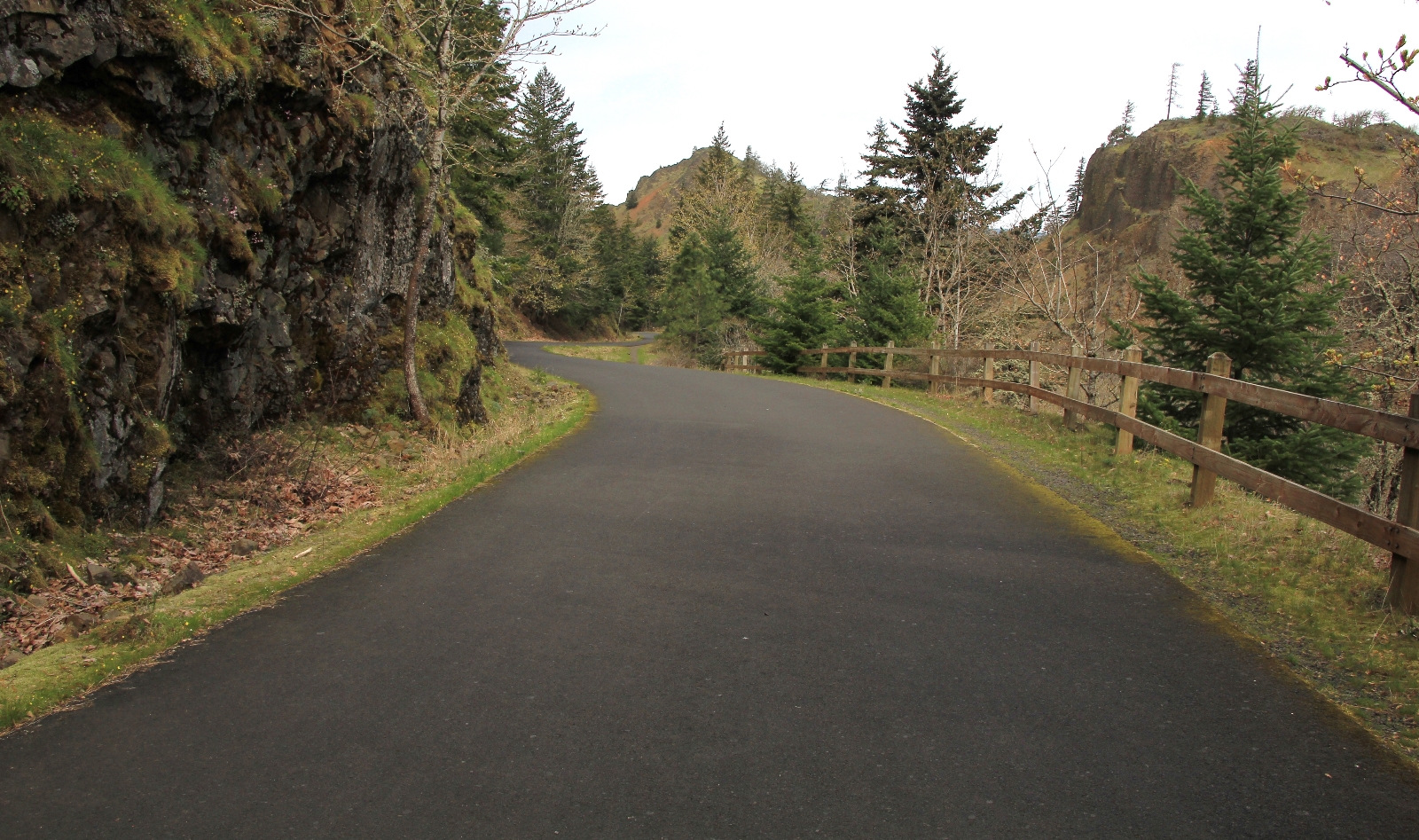
And so we found ourselves hiking a restored segment of the historic highway through the reconstructed Twin Tunnels. It would be more appropriate to call this a walk since the entire route is paved with just a gentle climb at the beginning, but it was still a lovely early spring jaunt.
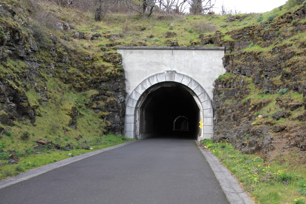
We reached the Twin Tunnels at about a mile in. The original tunnels were completed in 1921 after two years of backbreaking labor. Standing at the opening, it was hard to imagine cars passing through the narrow passage. The original tunnel was just 17′ wide. Even when it was later widened to 20′ wide, accidents were common.
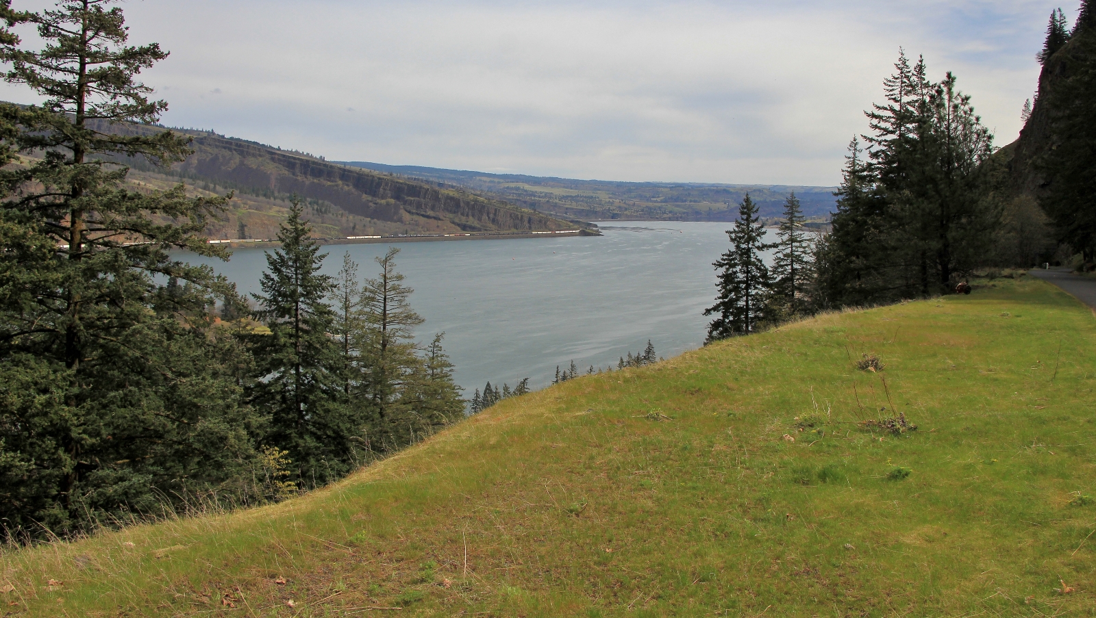
Beyond the tunnels, we enjoyed views of The Gorge and a nice stroll along forested hillside.
At a little over 3.5 miles in, we came to a picnic table and tiny waterfall. We took a snack break and then made this our turnaround point. If you wish, continue another mile down the path to the west trailhead.
This section of the historic highway pales in comparison to the route further to the west when it comes to scenic value; however, this was an enjoyable section for history buffs like me. With the great conversation of Michelle, the 7.5 miles flew by and we were back at the trailhead in the blink of an eye.
Directions to Mark O. Hatfield Trailhead East (Twin Tunnels): From Portland, Oregon, drive east on I-84 to exit 69 for Mosier. Turn right at the and of the off ramp. Follow the road as it curves to the left on its way into Mosier. Turn left on Rock Creek Road and follow it approximately one mile to the well-signed trailhead on the left. Restrooms are available. An Oregon State Park Pass is required. This is a busy trail, arrive early on a nice day to guarantee a parking spot.
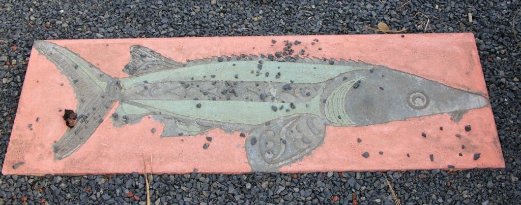
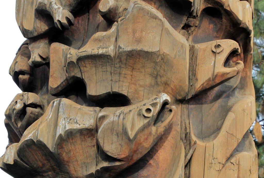
Directions to Mosier Waterfall Trailhead: Follow directions above only continue into the town of Mosier on highway 30. After the road curves to the left and enters downtown Mosier, look for the totem pole on the left and park here. Check out the salmon themed totem pole before walking east along highway 30 a short distance to the bridge crossing of Mosier Creek. After crossing the bridge, look for the trail heading off to the right.
Got Gear?
Click here to see some of our tried and true gear. By accessing Amazon through the links on this page, you get the same GREAT Amazon pricing and they share a little with us. This helps us maintain evansoutdooradventures and is much appreciated! Thank you to our supporters!