Two short trails off the historic Columbia River Highway—both with stunning views and wildflowers
Tom McCall Point: 3.65 miles round trip with 1,018′ elevation gain (moderately difficult)
Rowena Plateau: 2.2 miles round trip with 300′ elevation loss (easy)
Type: both out and back
Best season: late April through mid-May for the wildflowers
*Watch for poison oak!
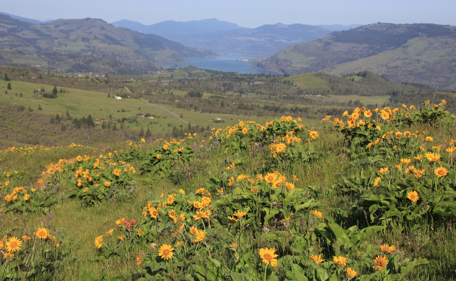
We’d come to the final hiking day of our April Oregon vacation. Before beginning our journey home, we decided to do a couple short hikes near Mosier, Oregon. Tom McCall Point and Rowena Plateau had been on my bucket list since I had seen a Backpacker magazine photo from the McCall Trail with Mt. Hood towering in the background and an explosion of wildflowers in the foreground. From the colorful display we’d seen the previous day on the Coyote Wall Trail, I guessed we were hitting the trails at the ideal time.
The 231 acre Tom McCall Preserve at Rowena includes lands owned by the Nature Conservancy, Mayer State Park and National Forest Service. The Tom McCall Point and Rowena Plateau trails originate at the Rowena Crest Viewpoint along the Old Columbia River Gorge Highway. The preserve is named for Oregon’s late governor Thomas McCall in honor of his conversation legacy.

According to the Nature Conservancy’s website, “from late February through June, one of Oregon’s most impressive displays of spring wildflowers is found amidst the mounds, swales and vernal pools of this grassland preserve. More than 200 plant species, including grass widows, prairie stars, shooting stars, balsamroot, lupine and Indian paintbrush thrive here. The open grasslands are home to four plant species unique to the Columbia River Gorge: Thompson’s broadleaf lupine, Columbia desert parsley, Thompson’s waterleaf and Hood River milkvetch. Spring wildflowers are most abundant in April and May.”
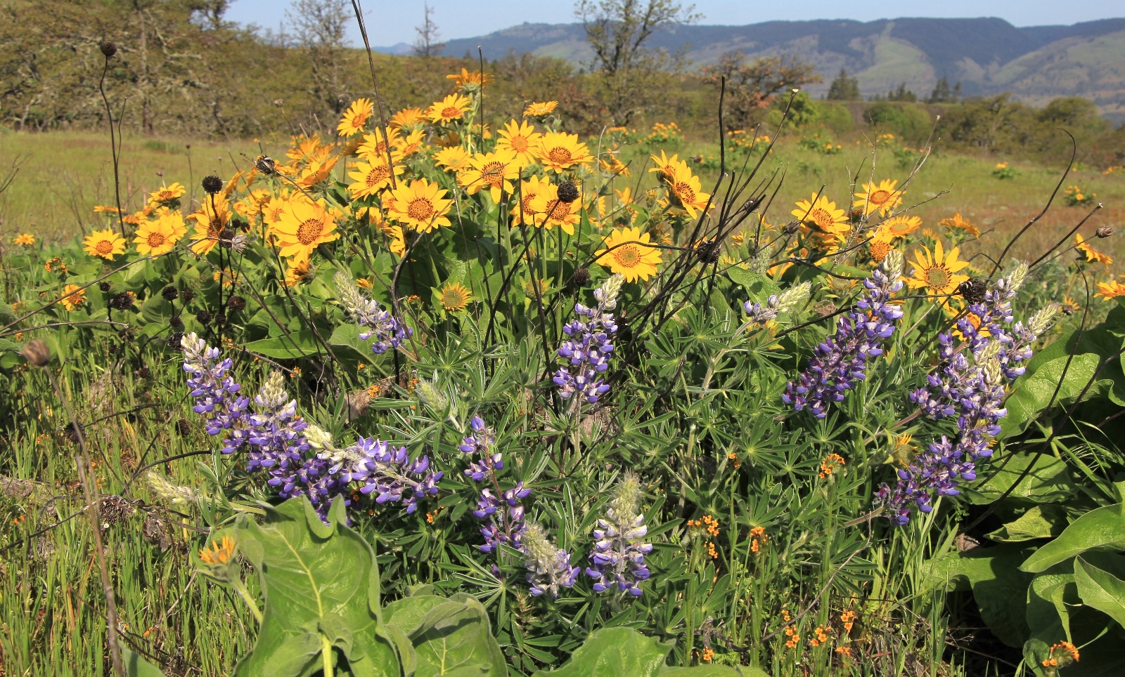
We arrived at the Rowena Crest Viewpoint (elevation 708’) on a beautiful spring morning. We were delighted to see only two other cars, it would be a quiet morning on the trail.
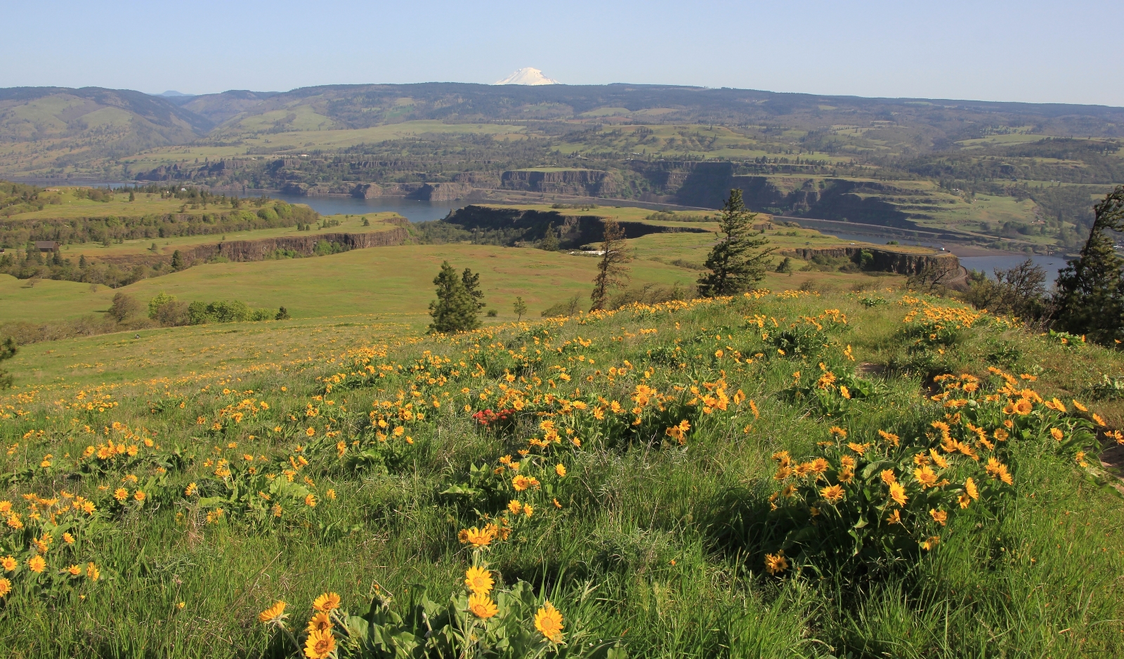
For the first half of our hike, we headed up to Tom McCall Point. Wildflowers were in peak bloom and we had great views of The Gorge, Mt. Hood, and Mt. Adams. Balsamroot was the dominating flower, but we also saw lots of lupine, paintbrush, and even a few chocolate lilies. We also saw a fair amount of poison oak.
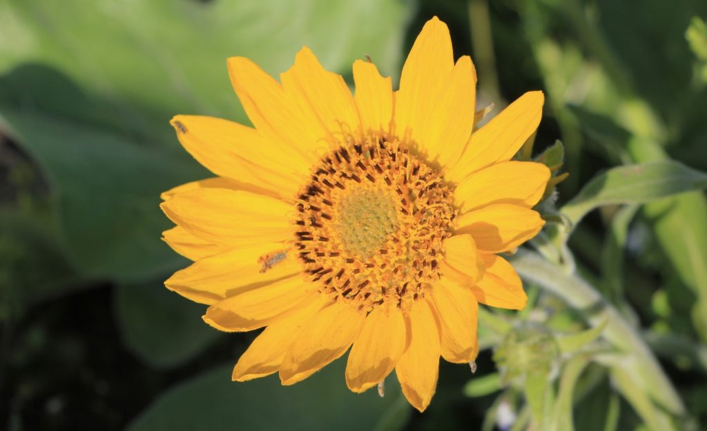
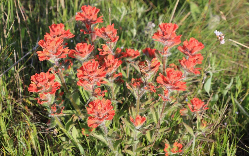
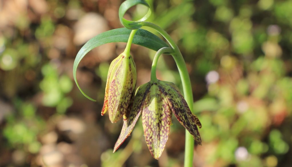
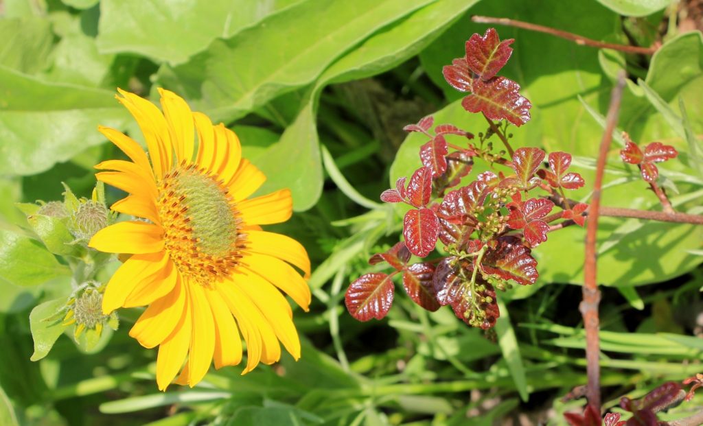
Tom McCall Point summit sits at 1,726’ elevation making it a 1, 018’ climb over 1.85 miles. The trail was in pretty good condition other than being a bit rocky and rutted in a few places. The highlights of this hike were definitely the burst of wildflowers and the views of snow covered Mt. Hood and Mt. Adams.
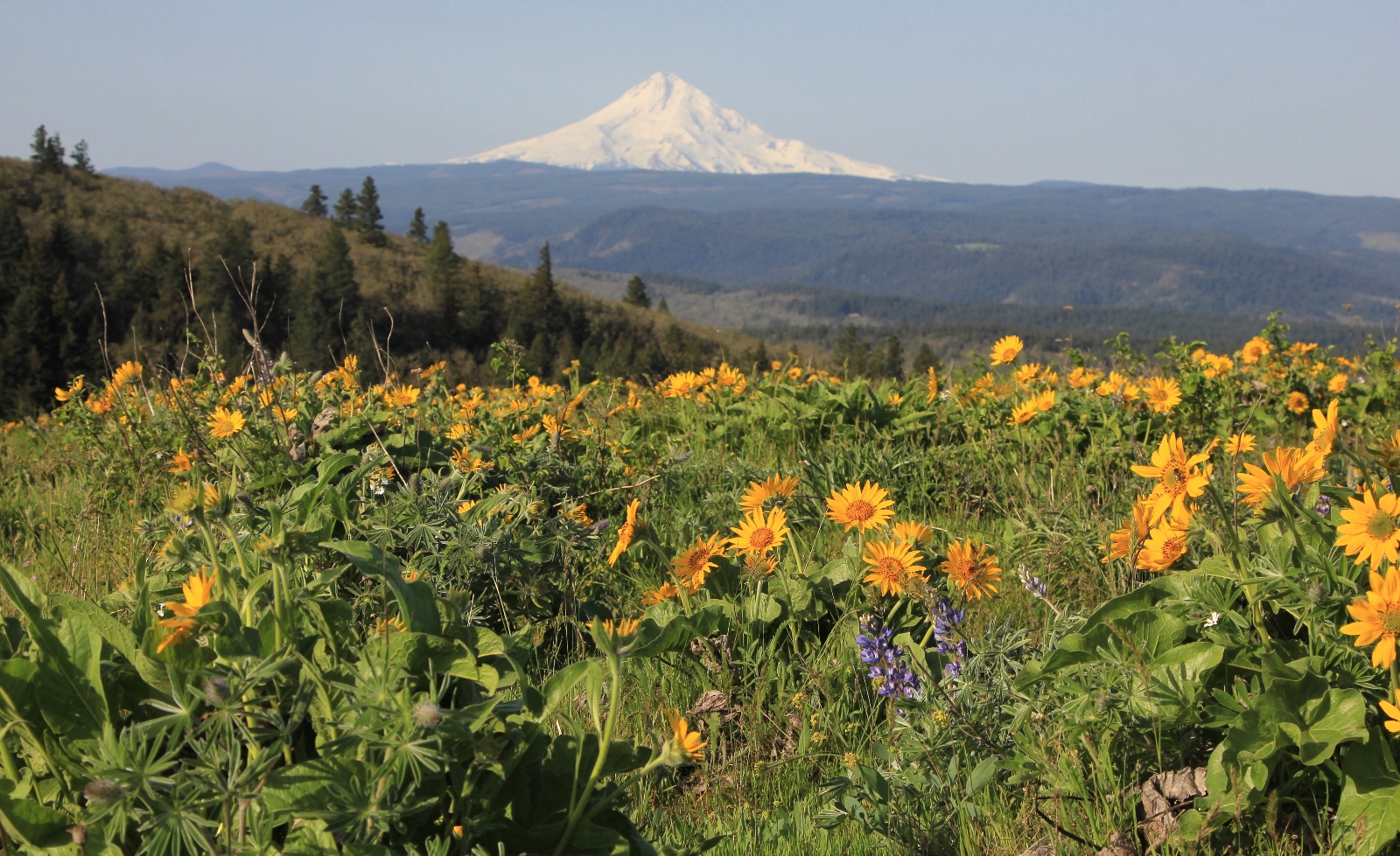
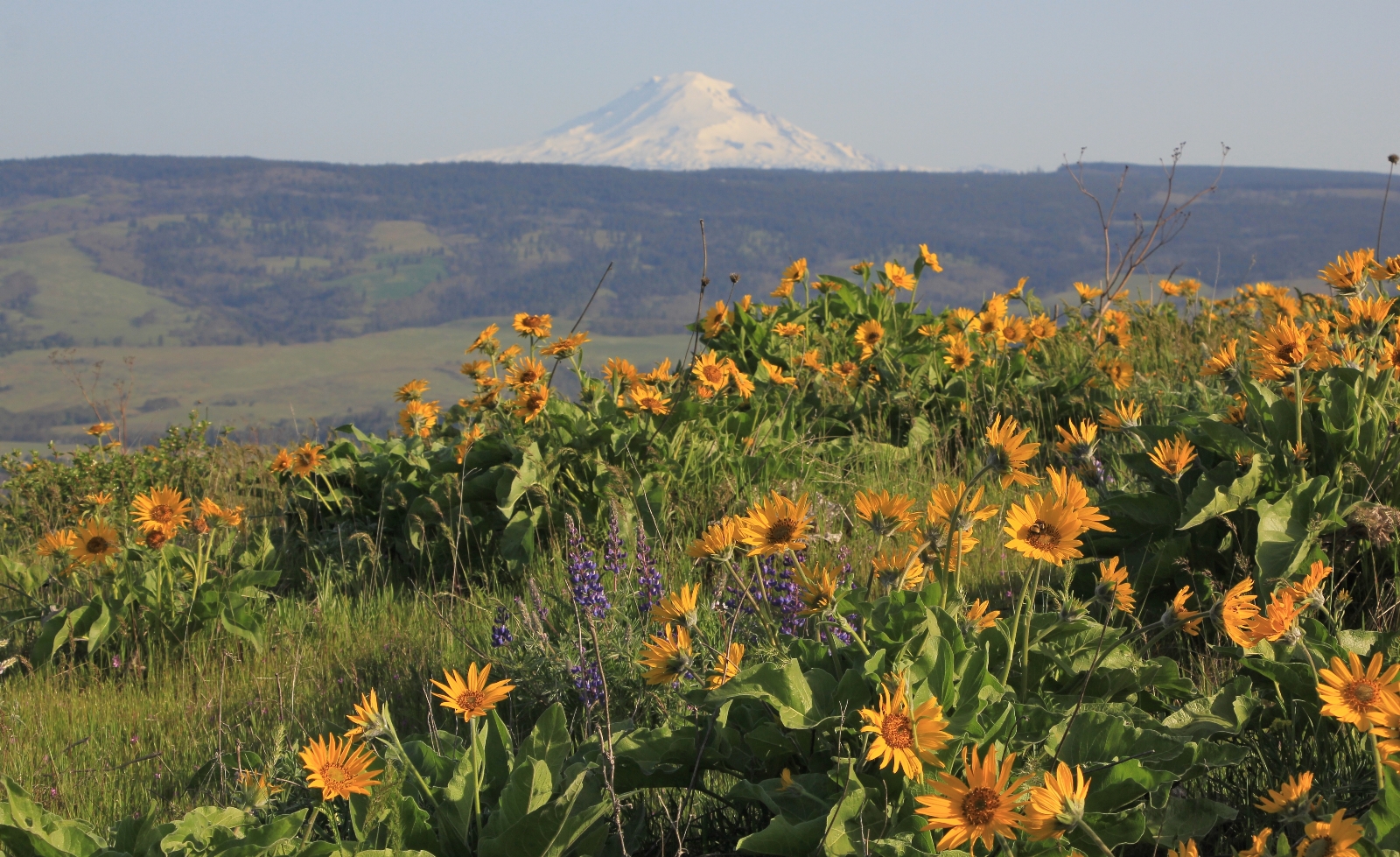
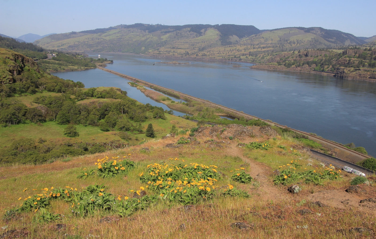
Back at the car, we took a short break and then headed across the road for the shorter and easier hike across Rowena Plateau, a grassy plain above the Columbia River. The views and flowers weren’t quite as nice, but this was a nice little hike to add to Tom McCall Point hike.
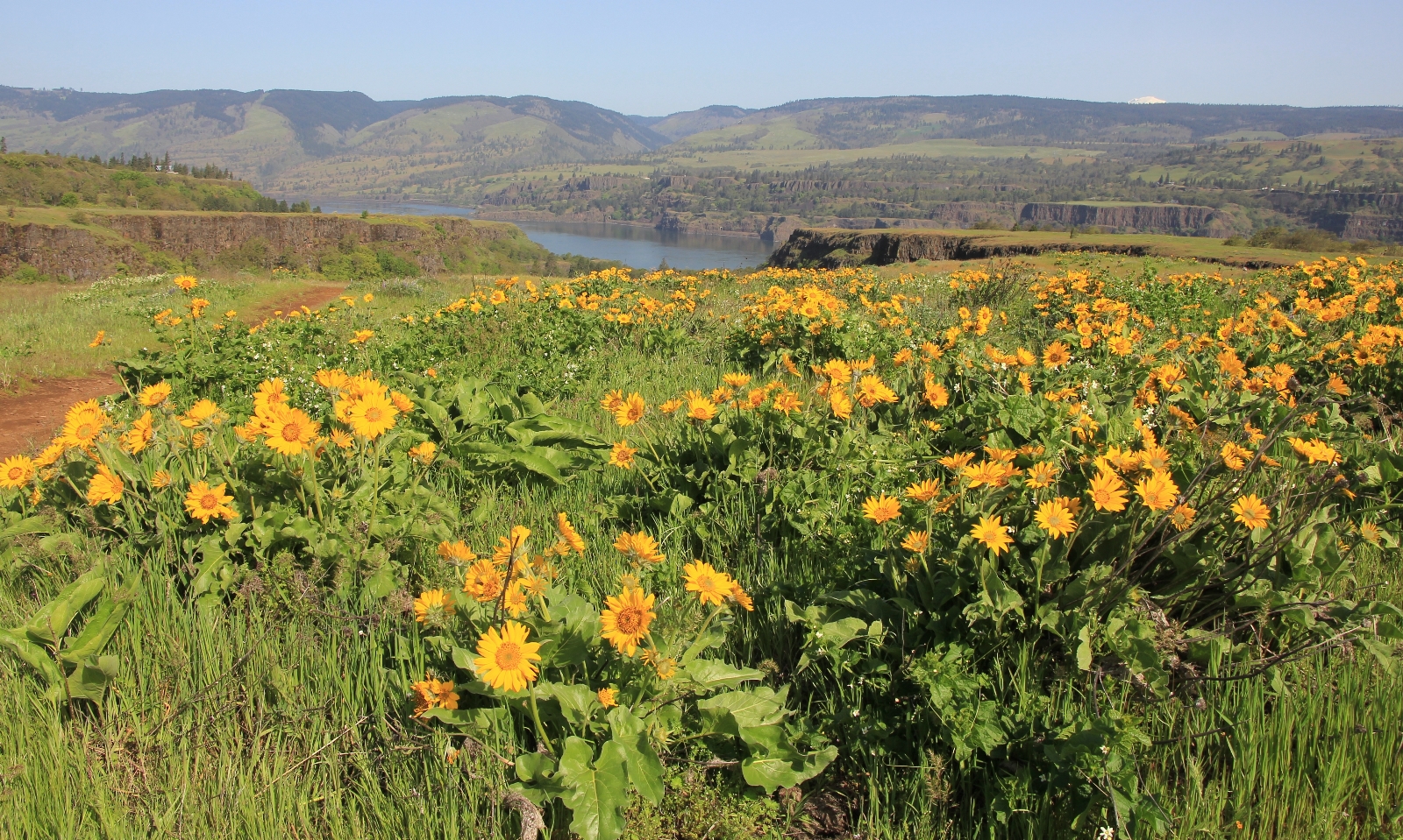
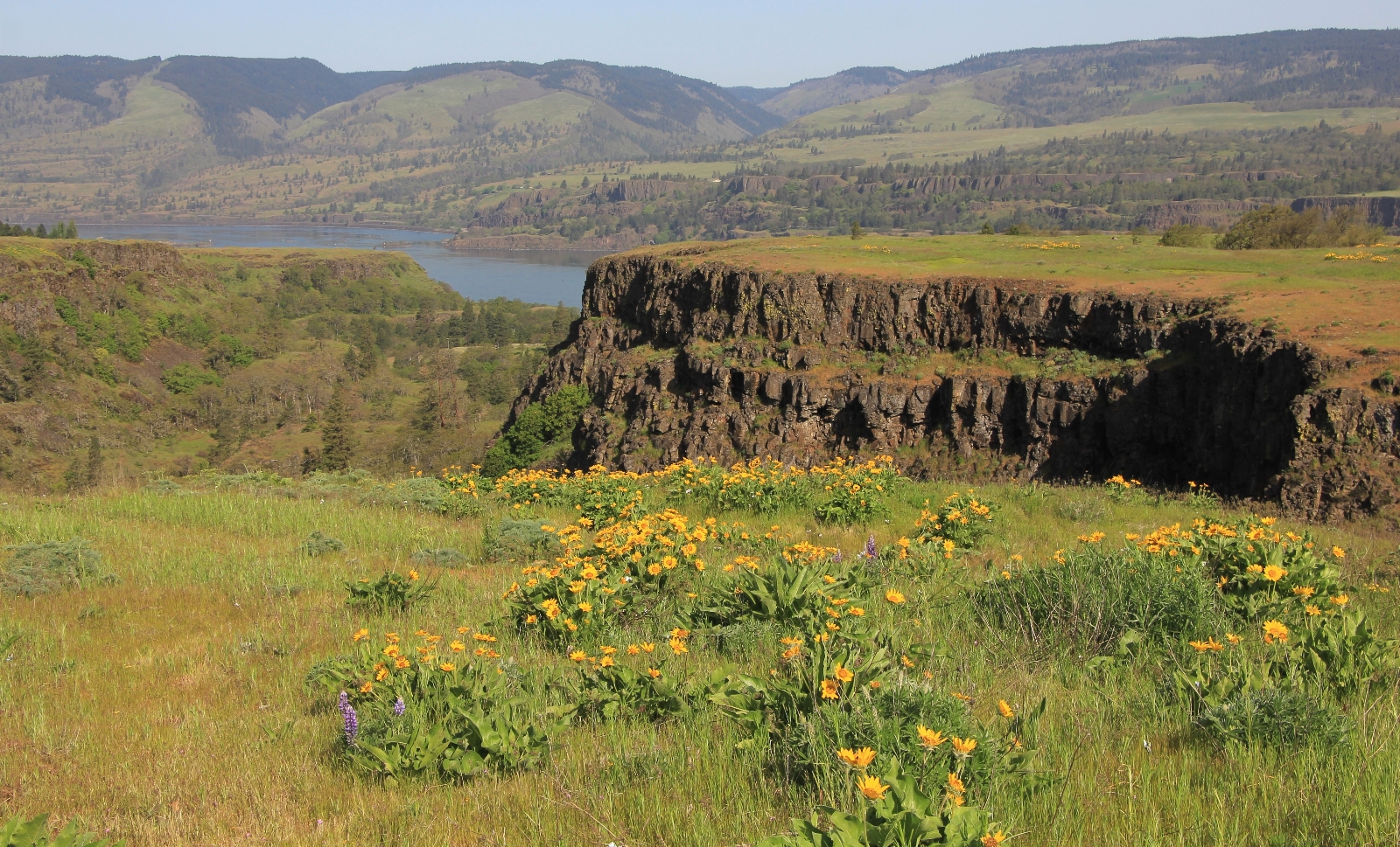
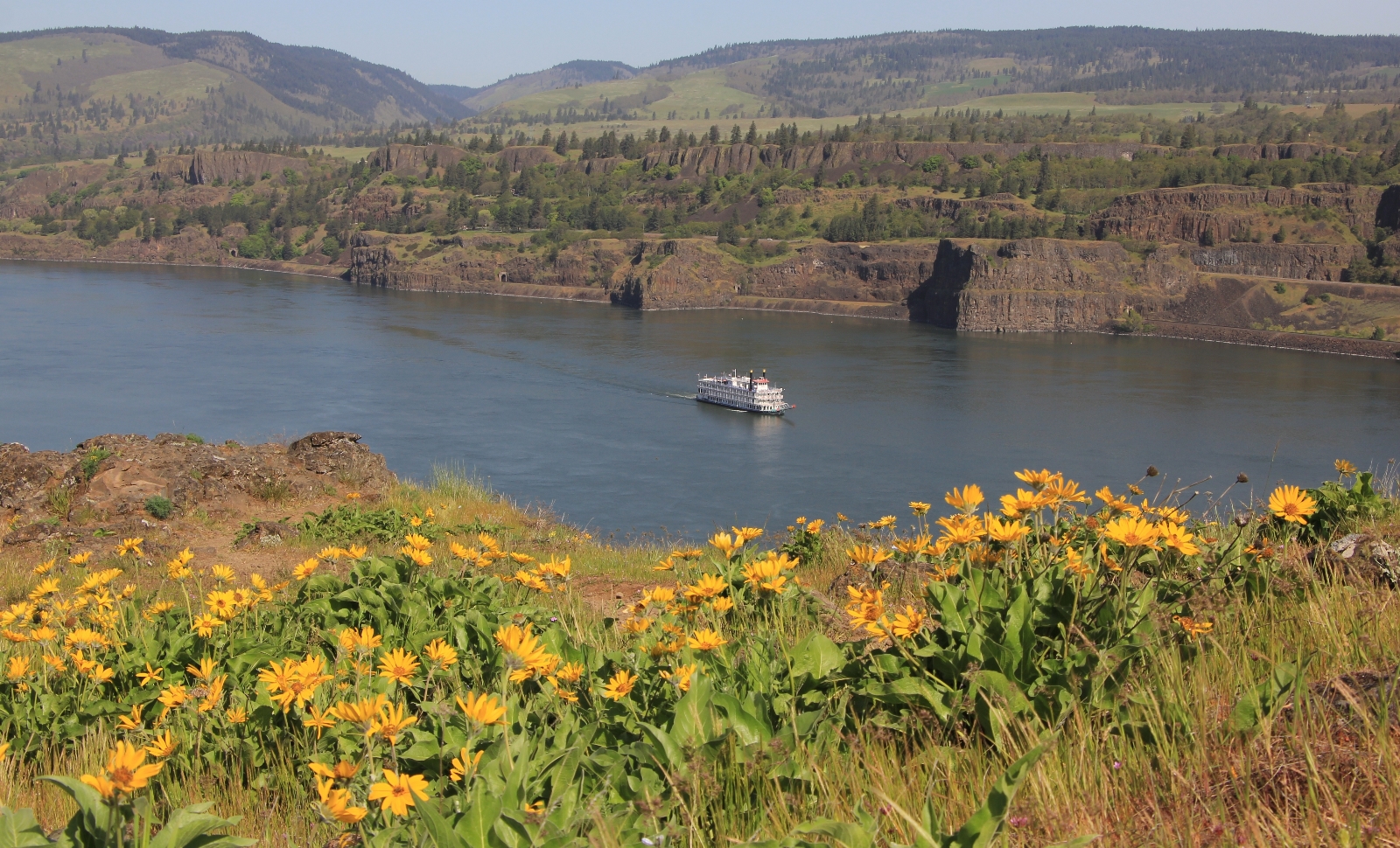
We covered 2.2 miles round trip with about 300’ elevation loss past a couple ponds to a nice viewpoint of the Columbia River where we watched a paddle wheel boat coming up the river. Again, we encountered poison oak along the trail, so be careful to watch for that!
Directions to trailhead: from Portland, Oregon, take I-84 east to Mosier and take exit 69. Drive straight through the quaint town of Mosier 6.6 miles up to the Rowena Crest Veiwpoint and turn right into the loop parking area.
Resources Used:
Day Hiking Columbia River Gorge
100 Hikes in Northwest Oregon & Southwest Washington
Got Gear?
Click here to see some of our tried and true gear. By accessing Amazon through the links on this page, you get the same GREAT Amazon pricing and they share a little with us. You don’t even have to purchase one of the linked items, simply access Amazon through our site and purchase anything! This helps us maintain Evans Outdoor Adventures and is much appreciated! Thank you to our supporters!
Related Posts:
Check out these other hikes from our April 2018 Oregon vacation:
Oregon’s Columbia River Gorge: Hat Rock State Park
Central Oregon’s White River Falls State Park
Central Oregon’s Smith Rock State Park: Misery Ridge Trail
Central Oregon’s Smith Rock State Park: Canyon Trail
Central Oregon’s Smith Rock State Park: Summit Loop
Central Oregon’s Deschutes River: Dillon Falls
Central Oregon’s Steelhead Falls
Oregon’s Santiam Foothills: Shellburg Falls