December 5 – 13, 2022
Two distinct desert ecosystems, the Mojave and the Colorado, come together in Joshua Tree National Park. A fascinating variety of plants and animals make their homes in a land sculpted by strong winds and occasional torrents of rain. Dark night skies, a rich cultural history, and surreal geologic features add to the wonder of this vast wilderness in southern California.
—Joshua Tree National Park website

Leaving Katherine Landing near Bullhead City, Arizona, we pointed the truck southwest toward California. Our original itinerary for fall would have kept us in California after our Sierra adventures, but we had detoured to Nevada for some truck repairs. Now, it was time to resume our California adventures starting with Joshua Tree National Park. This was a new-to-us National Park and we were looking forward to new explorations
Joshua Tree North BLM Boondocking
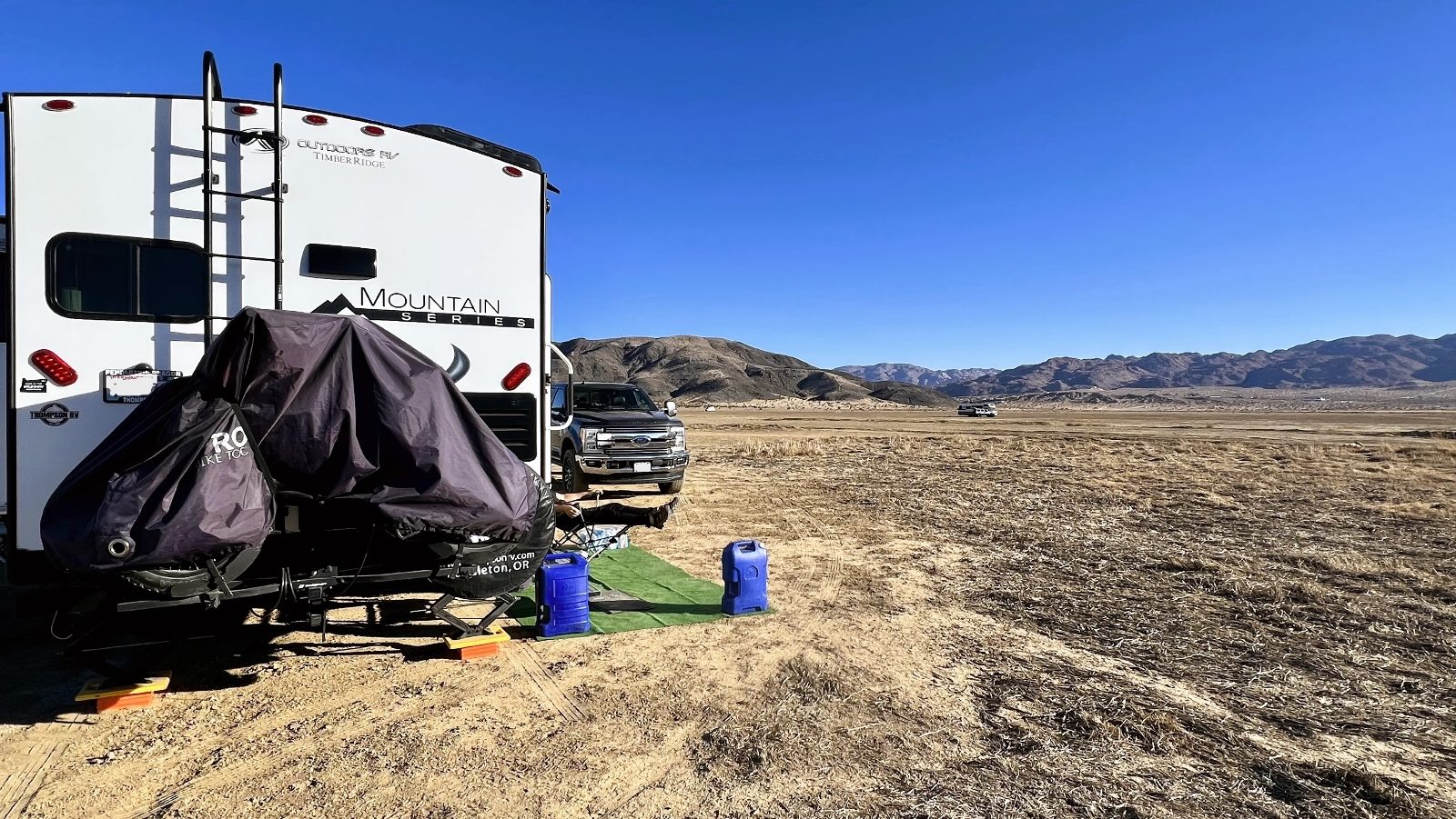
For our basecamp, we chose to boondock on BLM land north of the park between the towns of Joshua Tree and Twentynine Palms. This is a massive area on a dry lake bed at the base of Copper Mountain. It is true boondocking with no fees, designated sites, or facilities of any kind. Pros were the price, convenient location to Joshua Tree, and abundance of space. Cons were some ATV noise on the weekends, fierce wind/dust storms, and it was the coldest spot in the area. Being a dry lake bed, the cold sinks in at night. Most nights we were 10-15 degrees colder than the town of Joshua Tree just six miles down the road. Overnight lows were 18-24 degrees while days were mostly beautiful with lots of sun and highs near 60 degrees. Most of the time, it was really peaceful and quiet. We had excellent separation from neighbors and we enjoyed lovely views of Joshua Tree National Park to the south and snow covered San Gorgonio Mountain, the highest peak in Southern California, to the west.


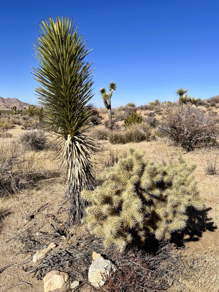
Joshua Tree National Park Introduction
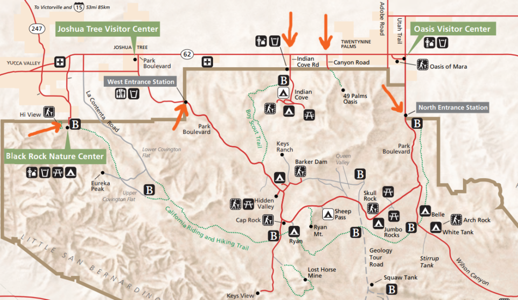
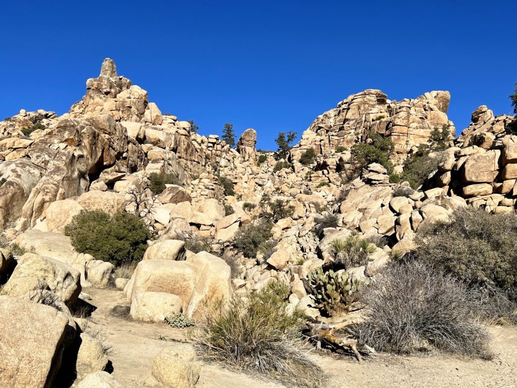
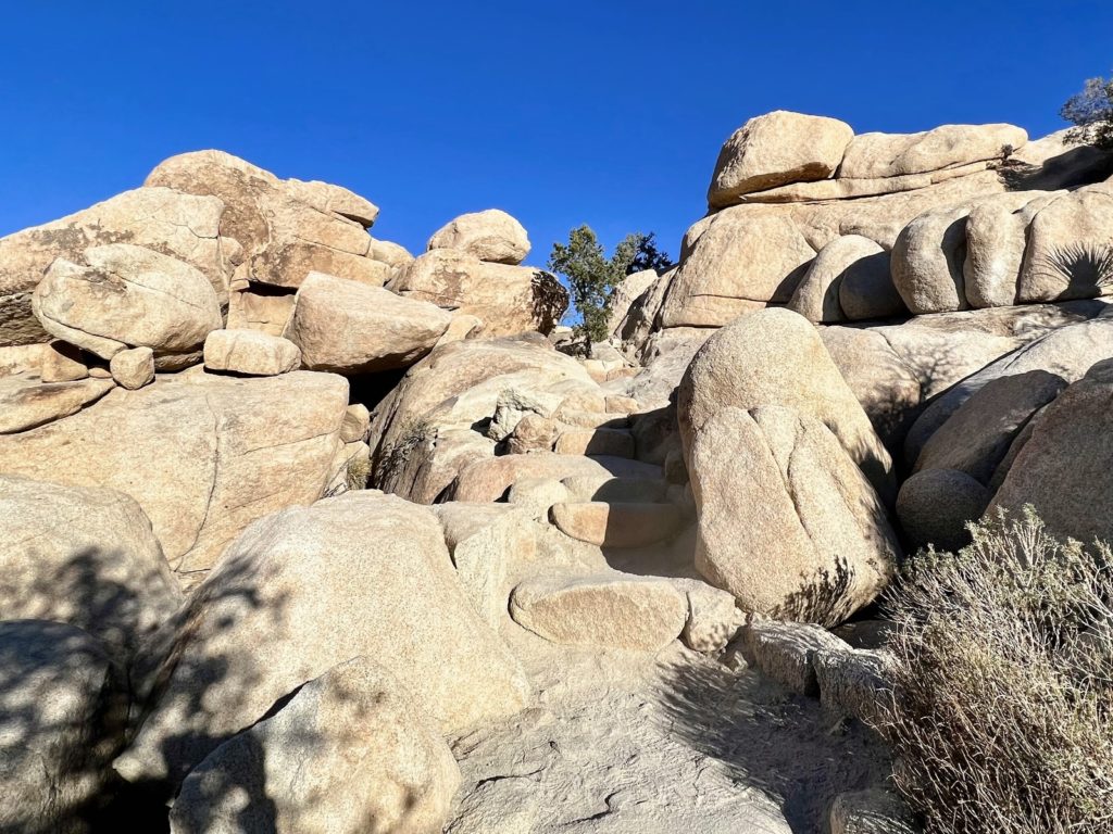
Covering approximately 800,000 acres in SE California, Joshua Tree National Park is massive. Given its close proximity to the population centers of Southern California, it should come as no surprise that it is an exceedingly popular destination. Over 3 million visitors flocked to Joshua Tree in 2021. Most visitors recreate in a concentrated area in the northern portion of the park where hiking, rocking climbing, and camping opportunities abound. The park felt pretty busy by our standards; however, once away from the picnic areas and popular rock formations, it was pretty easy to escape the worst of the crowds.


Be sure to visit the park’s website for more information while planning your visit. Joshua Tree is an amazing park, but you need to be prepared for lack of facilities (including water), no cell service, extreme weather conditions, and desert flora/fauna that is well-adapted to protecting itself. If you plan on hiking or rock climbing, be aware that many of the trailheads have limited parking and fill up early. We always started our hikes early in the day and never had an issue with parking. But we did return from several hikes to find people circling for spots. Be sure to go prepared with navigational aids, carry more water than you think you’ll need and explore at your own risk.
Adventuring in Joshua Tree most commonly involves activities around its well-preserved historical sites, exceptional geological features, or stunning Mojave and Colorado Desert scenery, flora, and fauna. In total, we spent 11 days (if you count a return visit on our way north in January) exploring the park. We enjoyed ourselves and it was a great introduction, but there were a lot of sites that we didn’t get to. If you enjoy desert hiking, my advice is to allow at least a few days for Joshua Tree, more if possible. If you have limited time, hopefully this blog series will help you narrow it down to what interests you the most.
During our first couple days in the park, we spent time at all five of the northern entrances and we hit some short trails in the heart of the park’s most popular area. I knew these hikes would give us a great introduction to what the park has to offer. If you only have time for a quick hike or two, all of the trails described below would be great options. They are all short, easy hikes within a couple miles of each other and they offer nice rewards for very little effort.

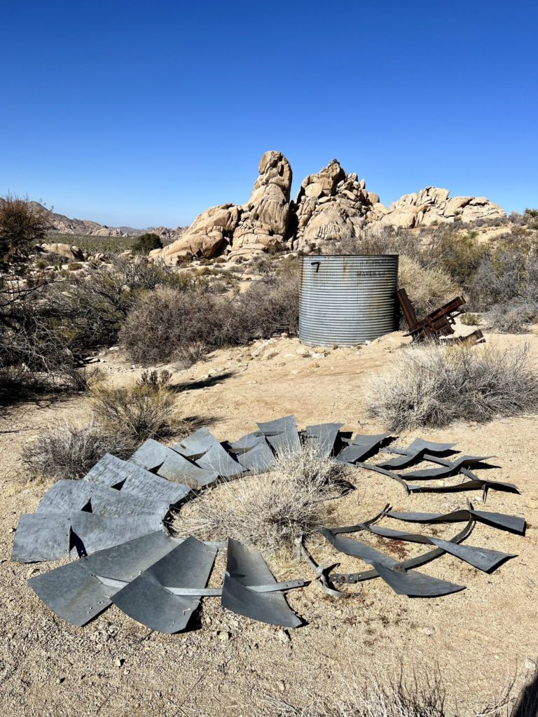
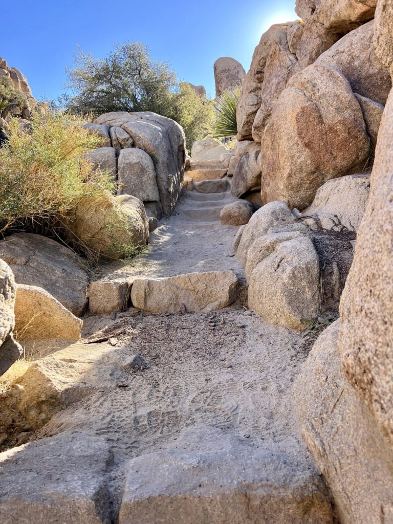
Ryan Ranch Trail

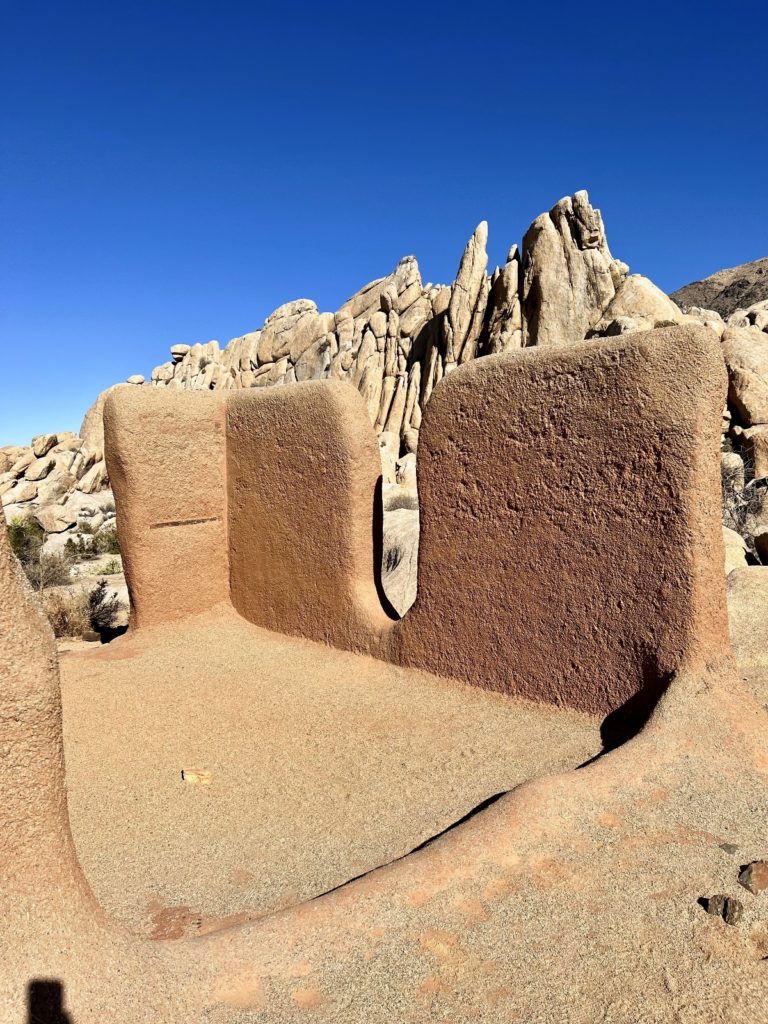
This easy 1.2 mile roundtrip hike follows an old ranch road, through a Joshua tree forest, to the remains of Ryan Ranch, a homestead established in 1896. There you’ll find the decaying adobe brick walls of the ranch house and bunkhouse, a collapsed windmill, a stone covered well and rusty machinery.
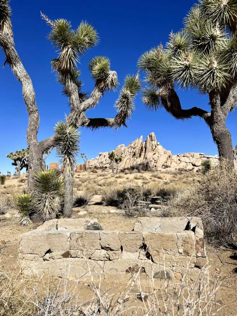
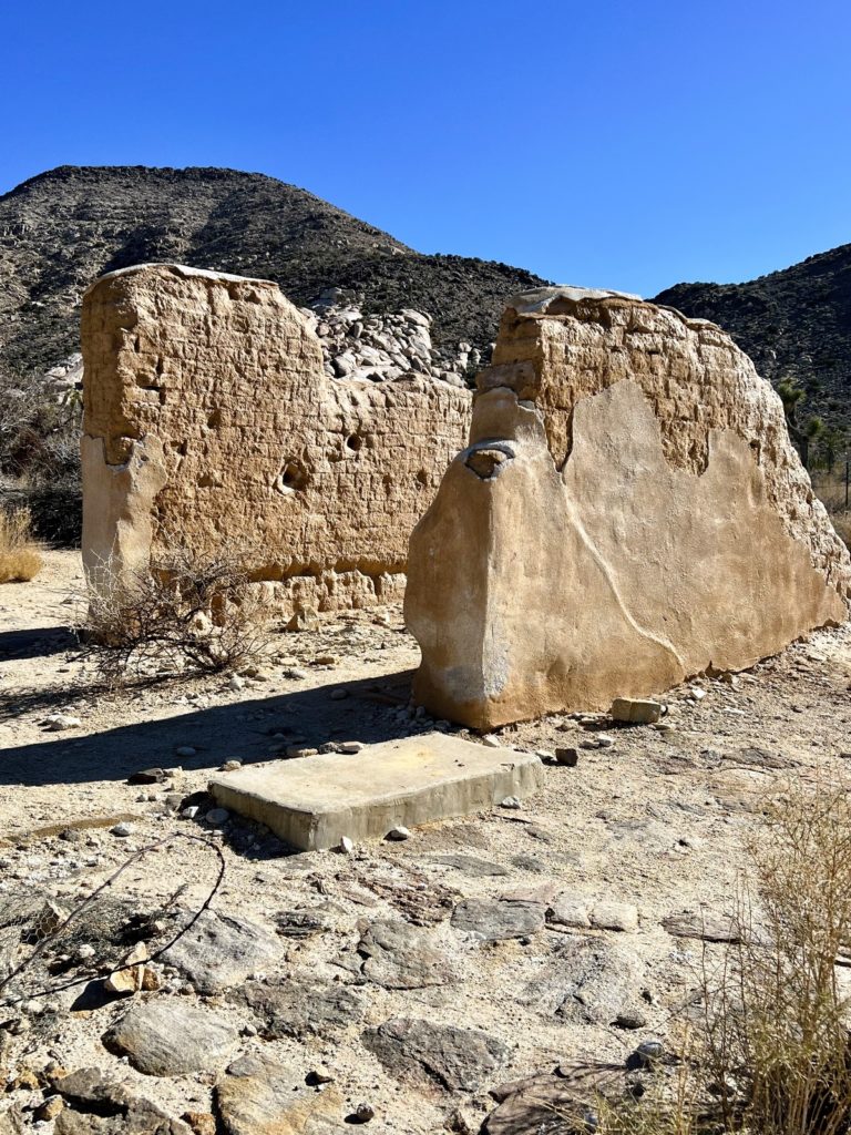
Jepp and Tom Ryan homesteaded this site to secure the natural spring once located here. The water was essential to the Lost Horse Mine which they owned with their brother Matt and local prospector Johnny Lang. The ranch supported the mining operation: pumping water 3.5 miles to the mine, processing ore, and serving as a mining office and home. The cattle raised here helped feed the family and workers; some 60 people lived at the ranch and mine during the gold boom. By 1908 full-time operation of the mine ceased and the Ryans turned their attention to cattle ranching until the establishment of Joshua Tree National Monument halted grazing.
—Joshua Tree National Park interpretive sign


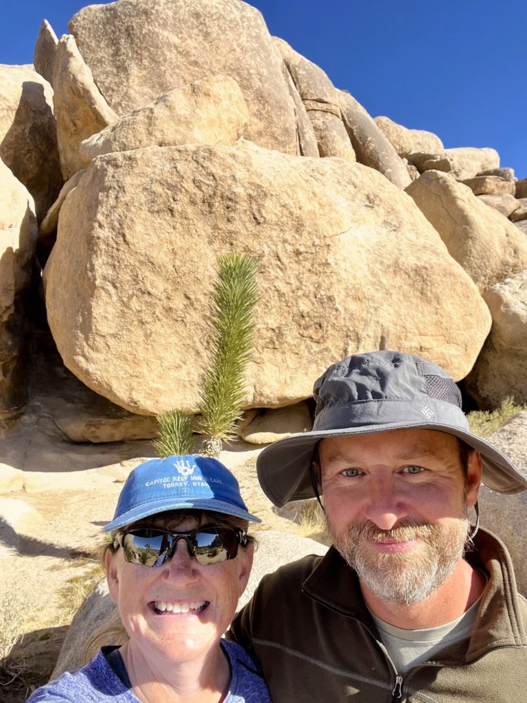
I’m glad I put this short hike on our itinerary. I hadn’t read much about it during my research, but it was well worth the minimal effort to see the nice ruins and surrounding countryside. If you don’t have much time in Joshua Tree National Park, this is a great stop without the typical crowds. The trailhead is located at a turnout on the south side of Park Boulevard just east of the entrance to Ryan Campground.

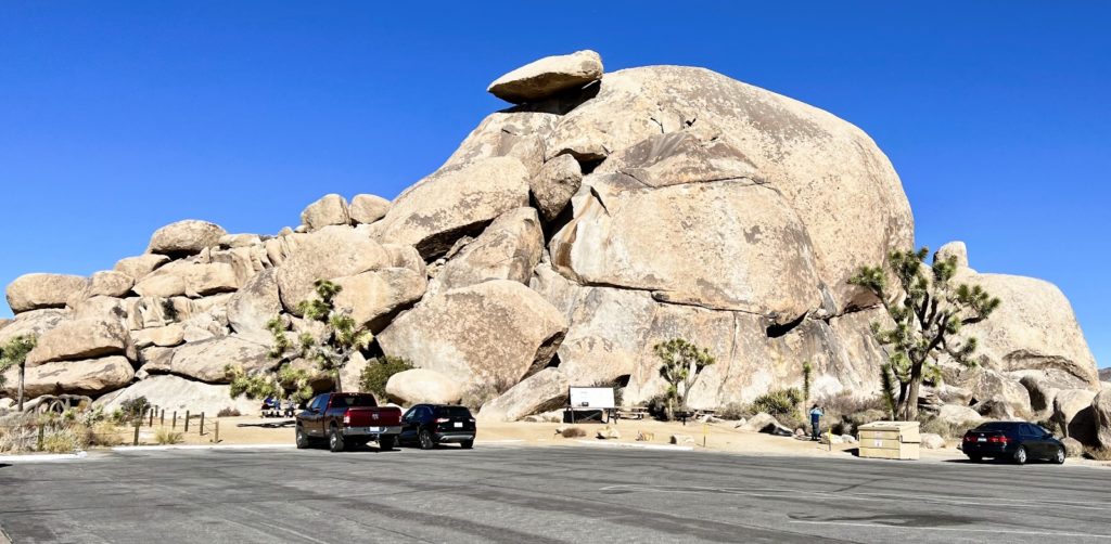
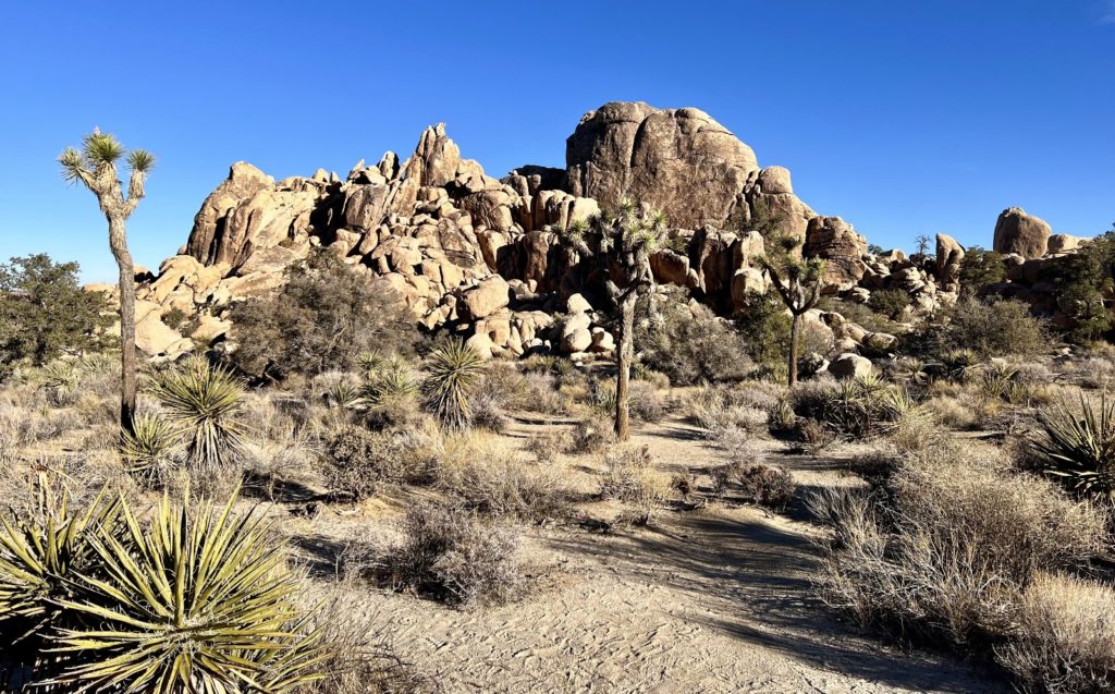
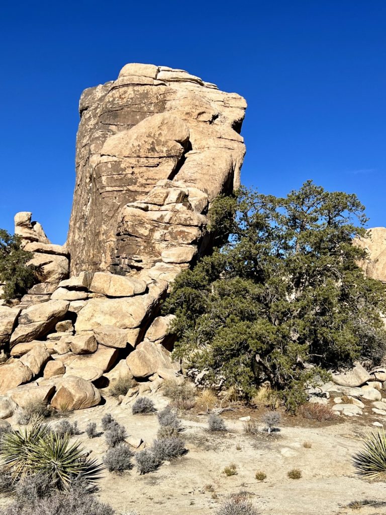
Cap Rock Nature Loop
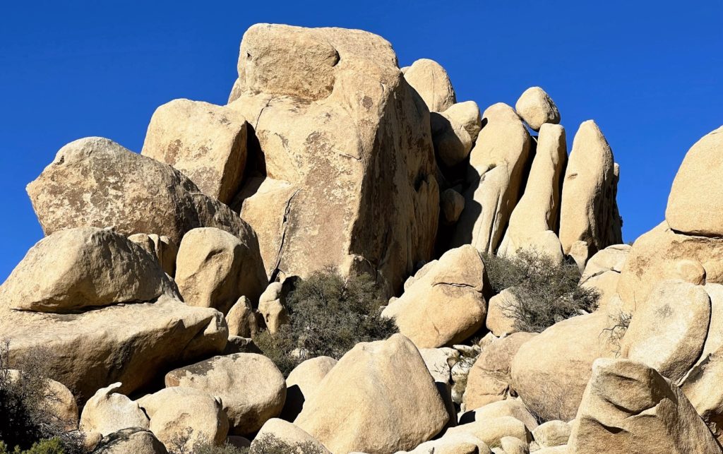
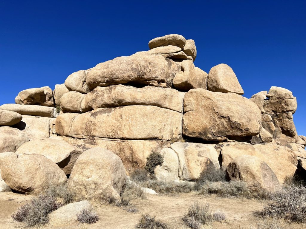
Cap Rock Nature Trail is a 0.3 mile nature trail that gives visitors a good taste of what Joshua Tree National Park has to offer. The trail starts at the base of Cap Rock, an outcropping of boulders topped by a balanced rock slab. From there, the trail is well-marked, flat, and easy to travel as it explores the Joshua tree dotted landscape. Interpretive signs educate visitors about the area’s flora and fauna as well as the spectacular geology of the area.
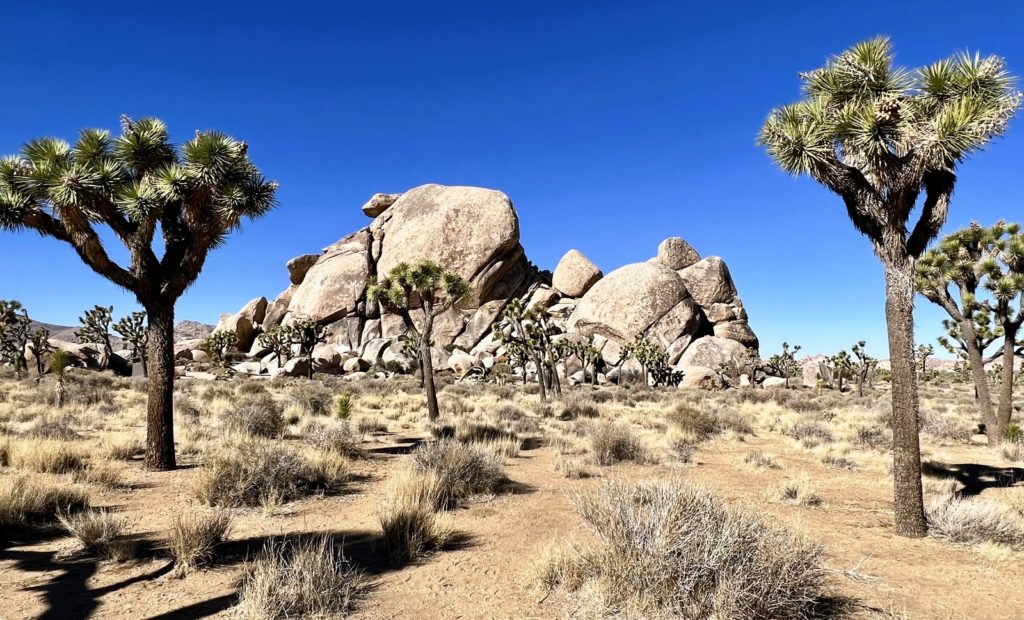

Like Ryan Ranch, this short hike is well worth the effort. This is also a great spot for a picnic lunch. Next to the parking lot you’ll find several picnic tables, dumpster, and pit toilets all with a great view of Cap Rock.
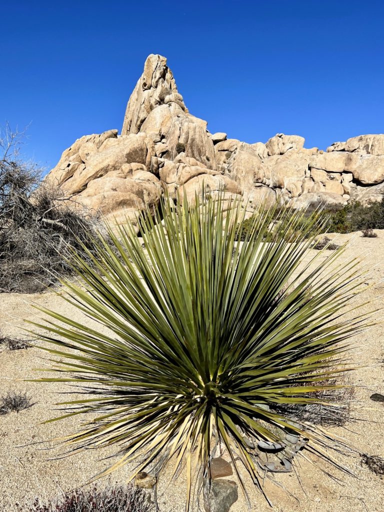
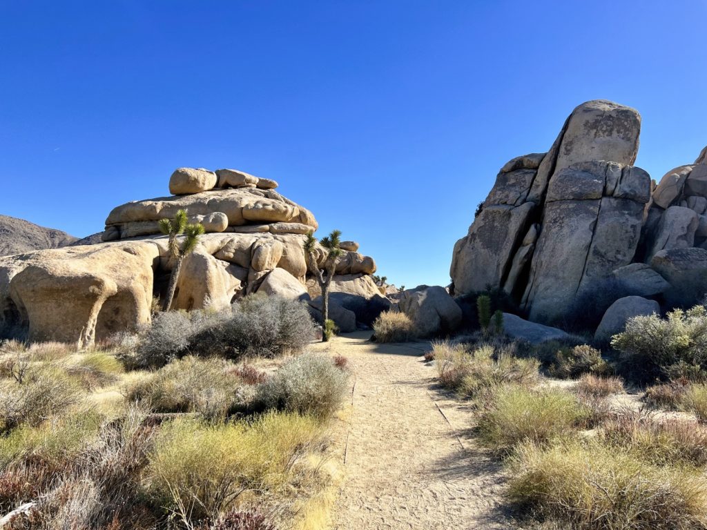
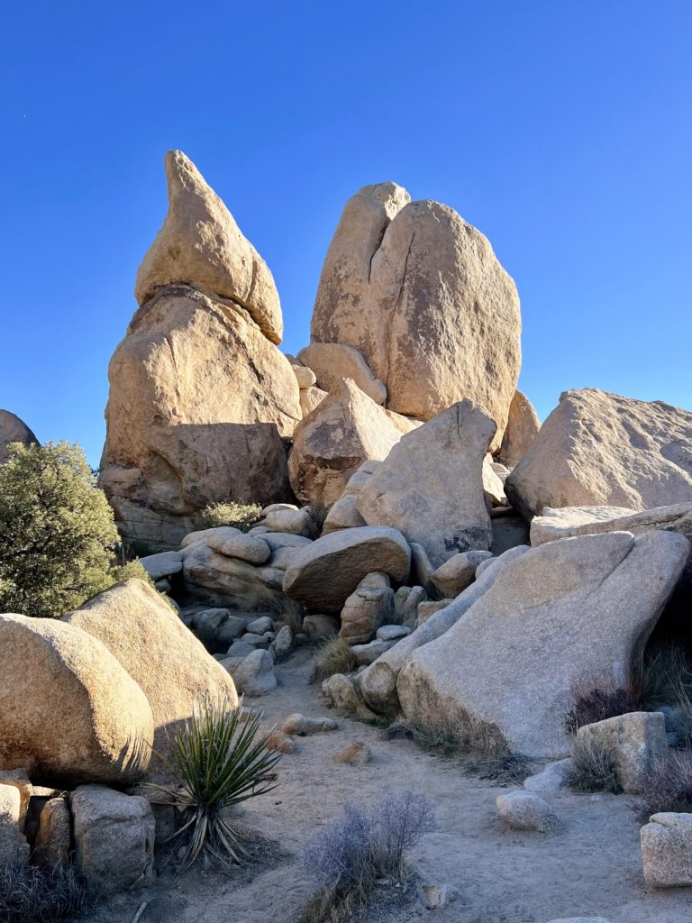
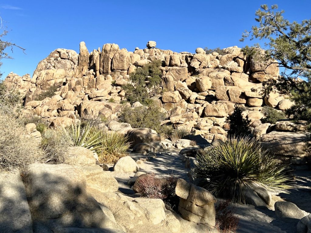
Hidden Valley Nature Trail
This popular 1.0 mile loop takes visitors through a valley surrounded by unique rock formations and a variety of desert flora including both Joshua and pinyon pine trees. Numerous interpretive signs along the trail provide information on the area including its colorful past as a hide out for cattle rustlers.
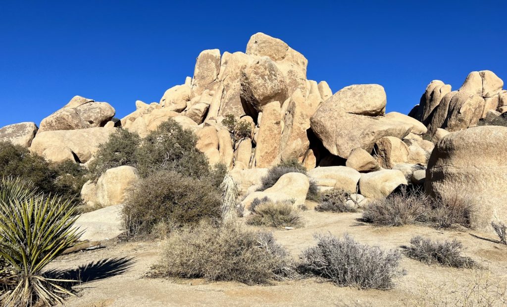
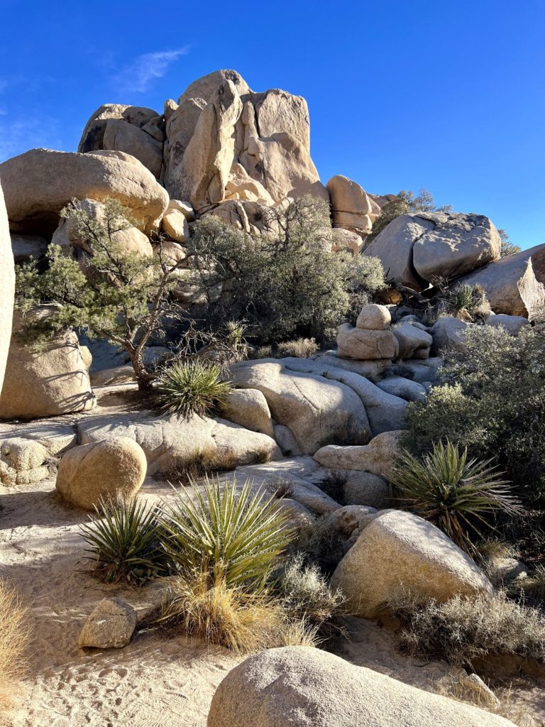
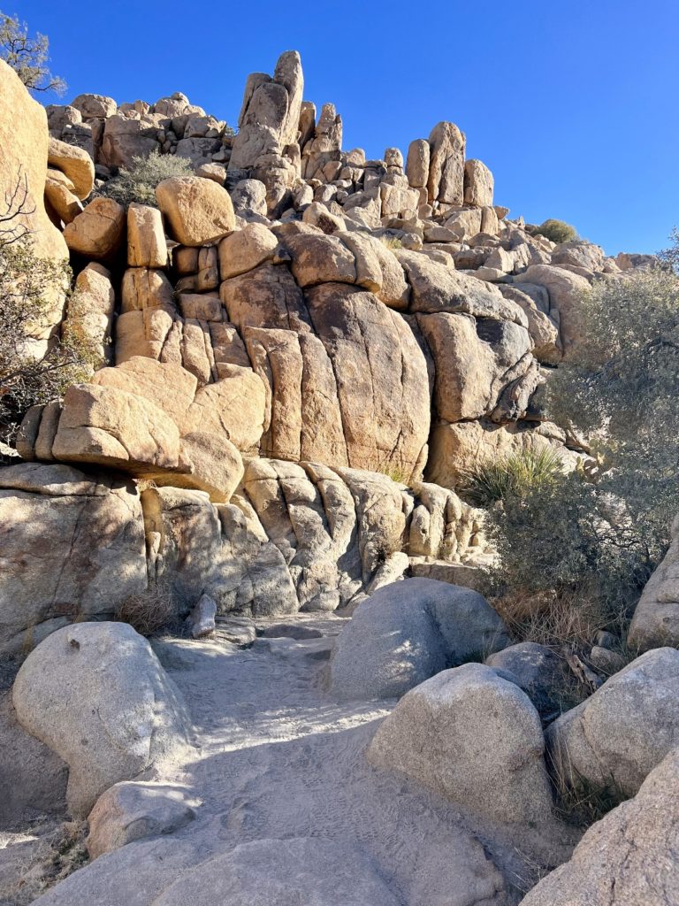
A narrow gap in the rocks ahead funnels into a legendary valley where rustlers supposedly hid their illicit herds. The 1 mile loop trail skirts the 55-acre Hidden Valley ending in a box canyon ideal for a concealed corral. Purportedly, in the late 1870s, brothers Bill and Jim McHaney formed a band of cowboys known as the McHaney Gang. They rustled cattle from Arizona and horses from California and drove the herds here for rebranding. The pilfered stock grazed on the once-abundant grasses of these desert valleys and were then sold in out-of-state markets. It was a profitable business until miners, lawmen, and more respectable cattlemen moved into the region by the 19th century’s close.
—Joshua Tree National Park interpretive sign
Related Posts
- Joshua Tree National Park: Keys Desert Queen Ranch Tour
- Joshua Tree National Park: Black Rock Canyon-Panorama Loop
- Joshua Tree National Park: Barker Dam & Wall Street Mill
- Joshua Tree National Park: Willow Hole
- Joshua Tree National Park: Skull Rock-Split Rock Loop In the Snow!
- So Cal’s Lake Cahuilla and Lost Palm Oasis
- Our Return Trip Home Begins With a Layover at Joshua Tree
The Adventure Continues
Join us for our next post as we continue our Joshua Tree National Park adventures with a fantastic ranger lead tour of Keys Desert Queen Ranch. And don’t forget to check out our Amazon RV and Adventure Gear recommendations. We only post products that we use and that meet the Evans Outdoor Adventures seal of approval. By accessing Amazon through our links and making any purchase (even things as simple as toothpaste!), you get Amazon’s every day low pricing and they share a little with us. This helps us maintain this website and is much appreciated!