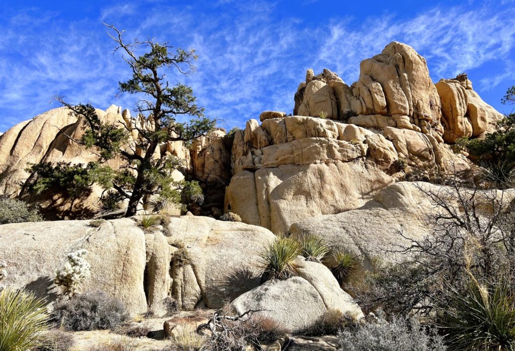
January 2023
After ringing in the New Year at Borrego Springs, it was time to start our slow return trip north. We needed to be back home in Washington State by February, but first we wanted to spend a little more time exploring Joshua Tree National Park and a few weeks relaxing along Lake Mead.
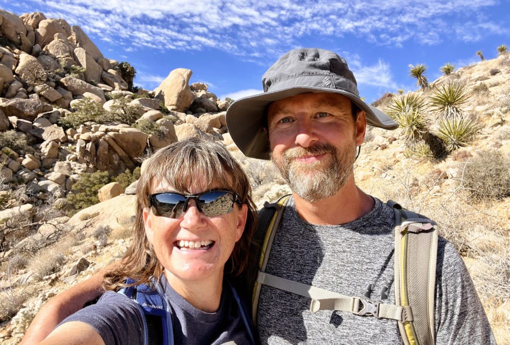
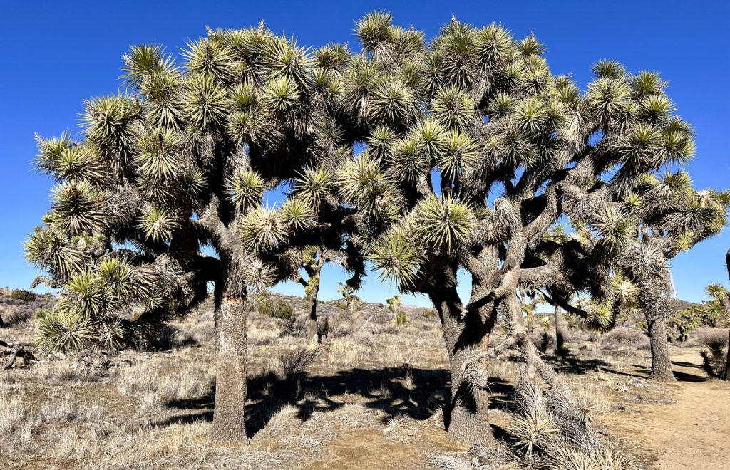
For our time at Joshua Tree National Park, we returned to the BLM dispersed camping area north of the park between the towns of Joshua Tree and Twentynine Palms. It wasn’t the sexiest place we had ever boondocked, but it was quiet and conveniently located. Plus the price was right at $0 per night! The weather wasn’t as nice for our return visit and we ended up cutting our time there a little shorter than expected. But we were able to hike several trails that we didn’t have time for in December.

Lost Horse Mine
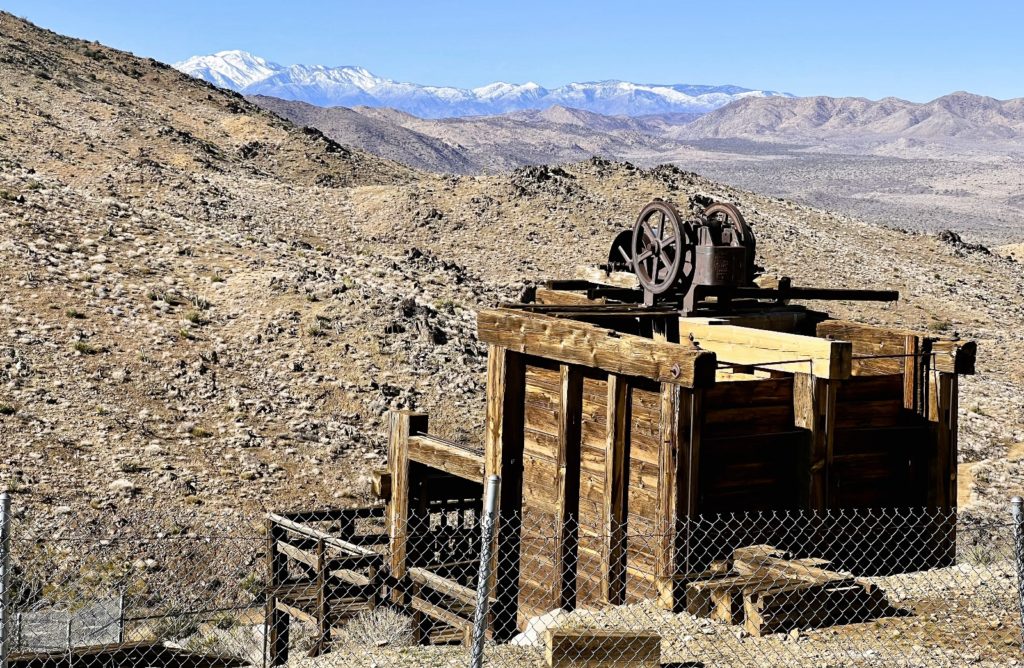
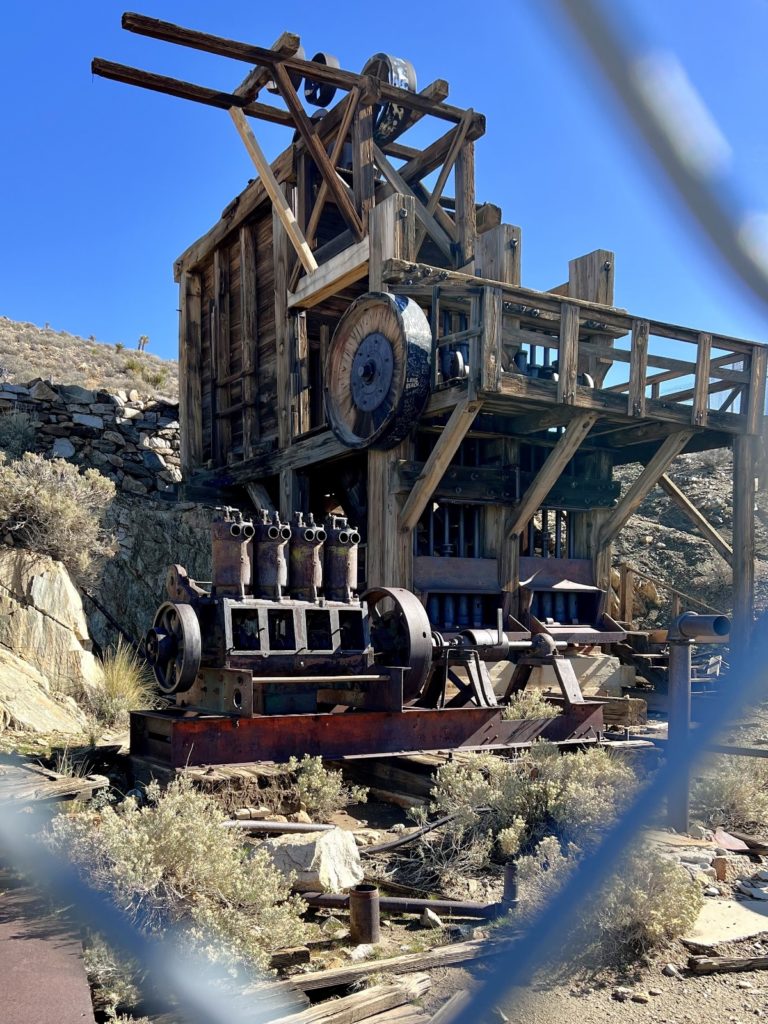
Even before the California Gold Rush of 1849, prospectors were finding gold in southern California. As the take from the mines in the Sierras petered out, miners fanned out into the deserts. Here hot summers, scarce water, limited wood sources, and the difficulty and high cost of transporting equipment and provisions created a challenging environment in which to operate a mine. But a few hardy adventurers persevered and about 300 mines were developed in what is now Joshua Tree National Park—although few were good producers. An exception is the Lost Horse Mine, which produced more than 10,000 ounces of gold and 16,000 ounces of silver (worth approximately $5 million today) between 1894 and 1931.
-Joshua Tree National Park website

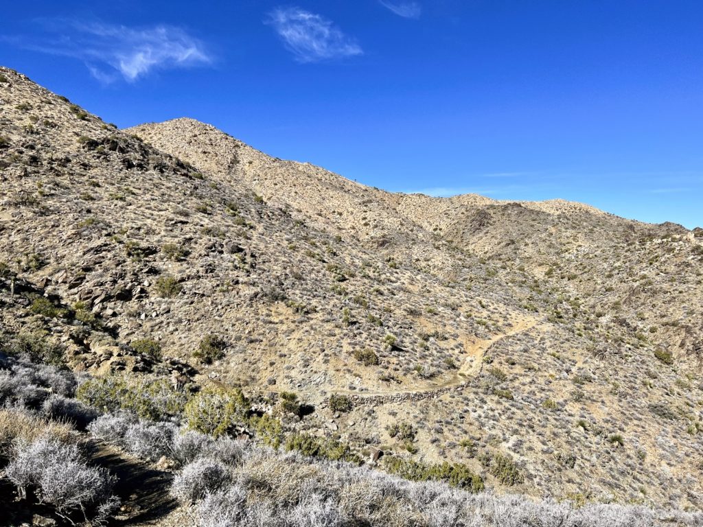
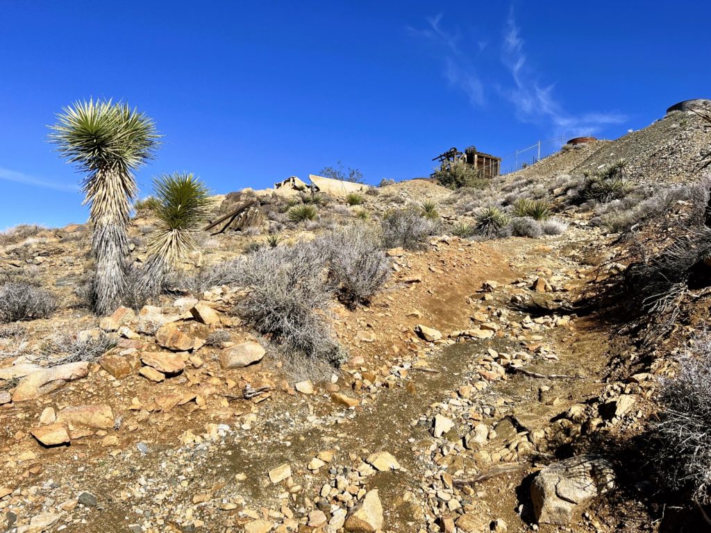
Today, Lost Horse Mine is a popular destination in Joshua Tree National Park. The trail to the mine can be hiked as a 4.0 mile out-and-back or a 7.0 mile loop. We enjoyed hiking the longer loop trail which allowed us to also see the ruins of the Optimist Mine. With over 1,000 feet elevation gain, the trail provided a good workout, far reaching views, and some interesting history. The trailhead is located off a short spur road along the Keys View Road. Like many trailheads at Joshua Tree National Park, parking is limited. I recommend arriving early in the day!
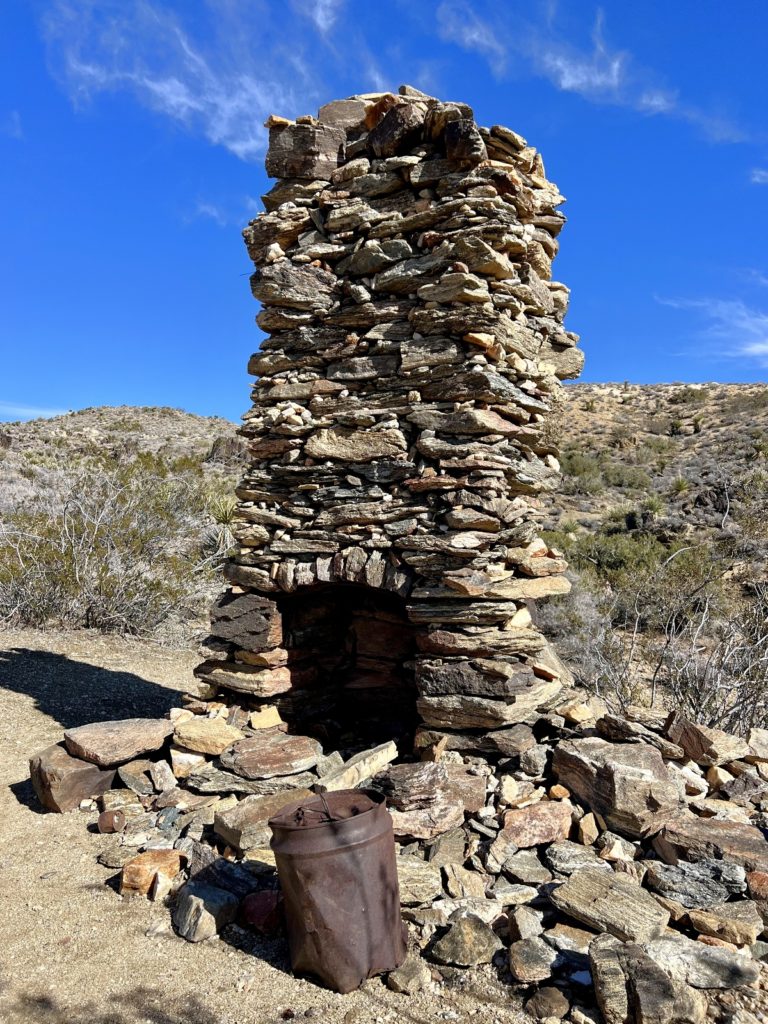
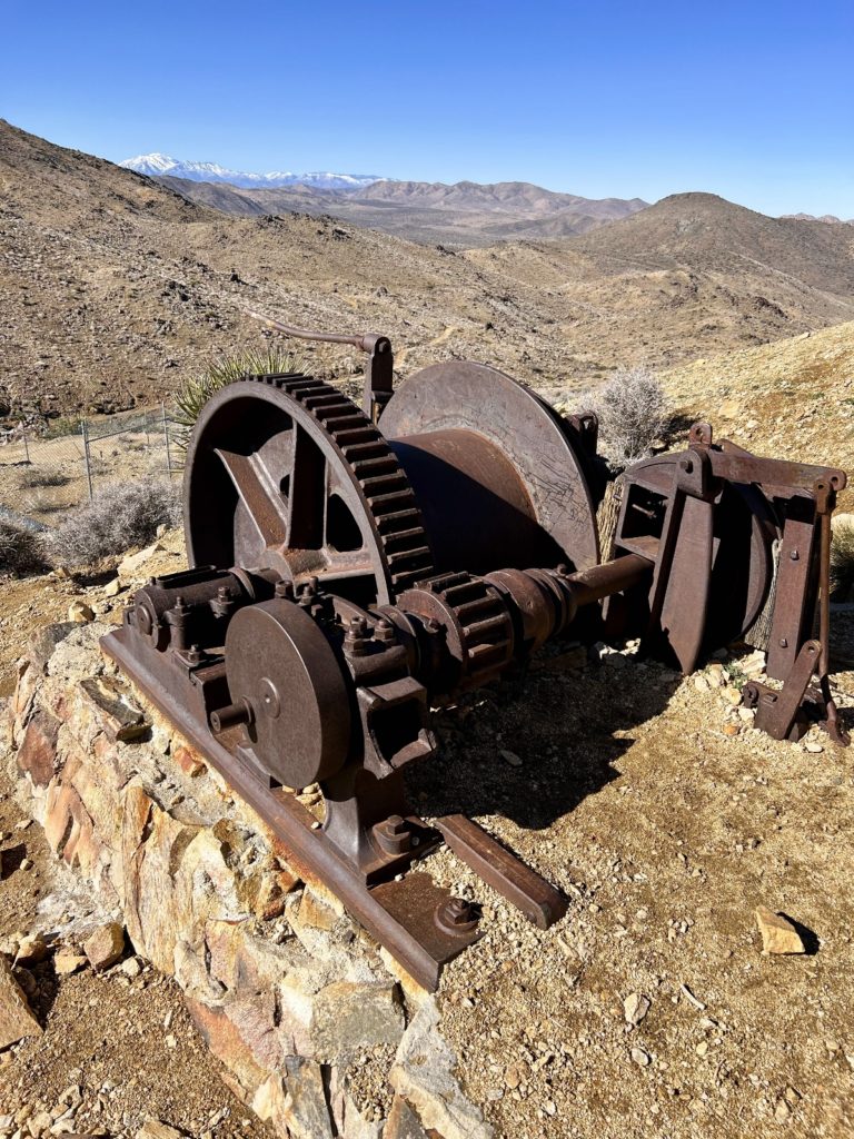
Desert Queen Mine
Like most gold mines in Hollywood movies, the Desert Queen Mine has a colorful history. Frank L. James discovered gold here in 1894. Ownership of the mine transferred from his hands to others by way of murder, robbery, bank foreclosure, sale, and payment for back wages. Operating from 1895 to 1961, the Desert Queen Mine was one of the most productive mines in the area”.
-Joshua Tree National Park trail sign
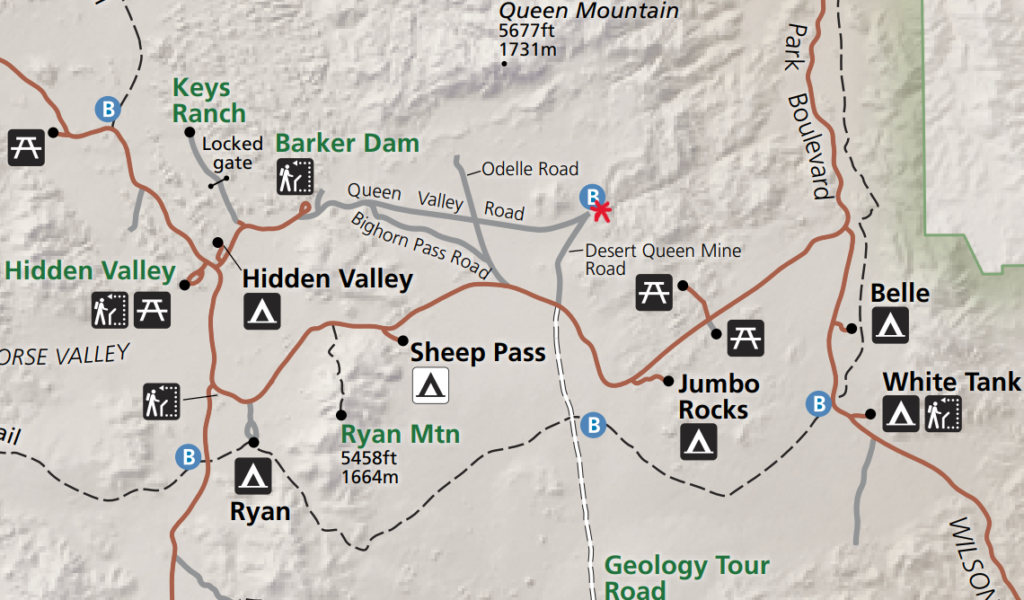
The short hike to the Desert Queen Mine is not listed on the Joshua Tree National Park website hiking page, but it does appear to be an official trail with a designated trailhead and information sign. Visitors can hike along the old and rocky mining road 0.7-miles round trip to an overlook or 1.6 miles roundtrip to the mine.
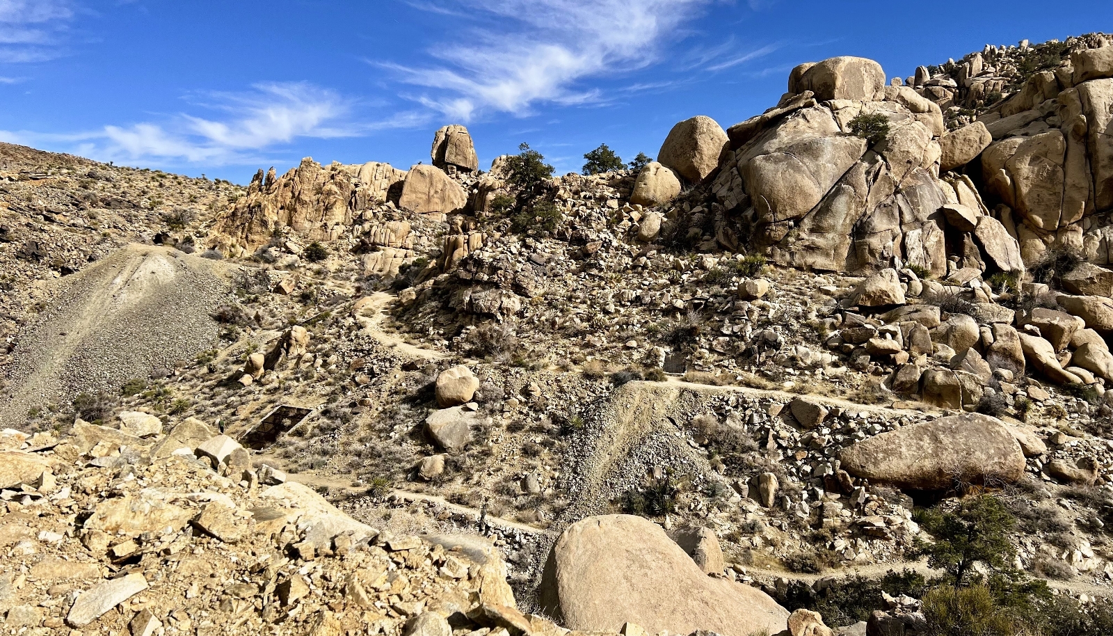
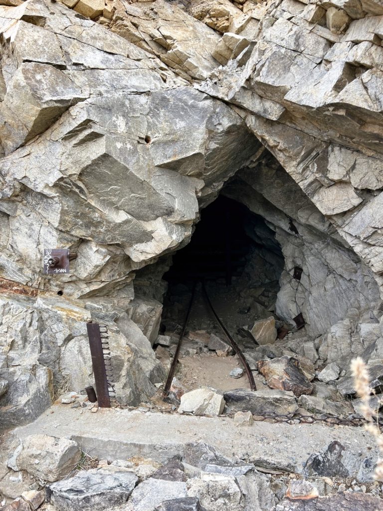
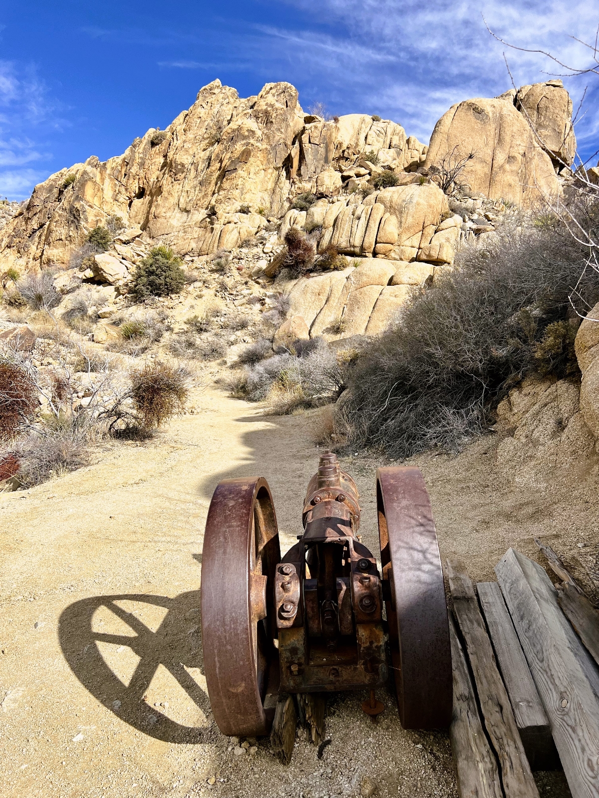
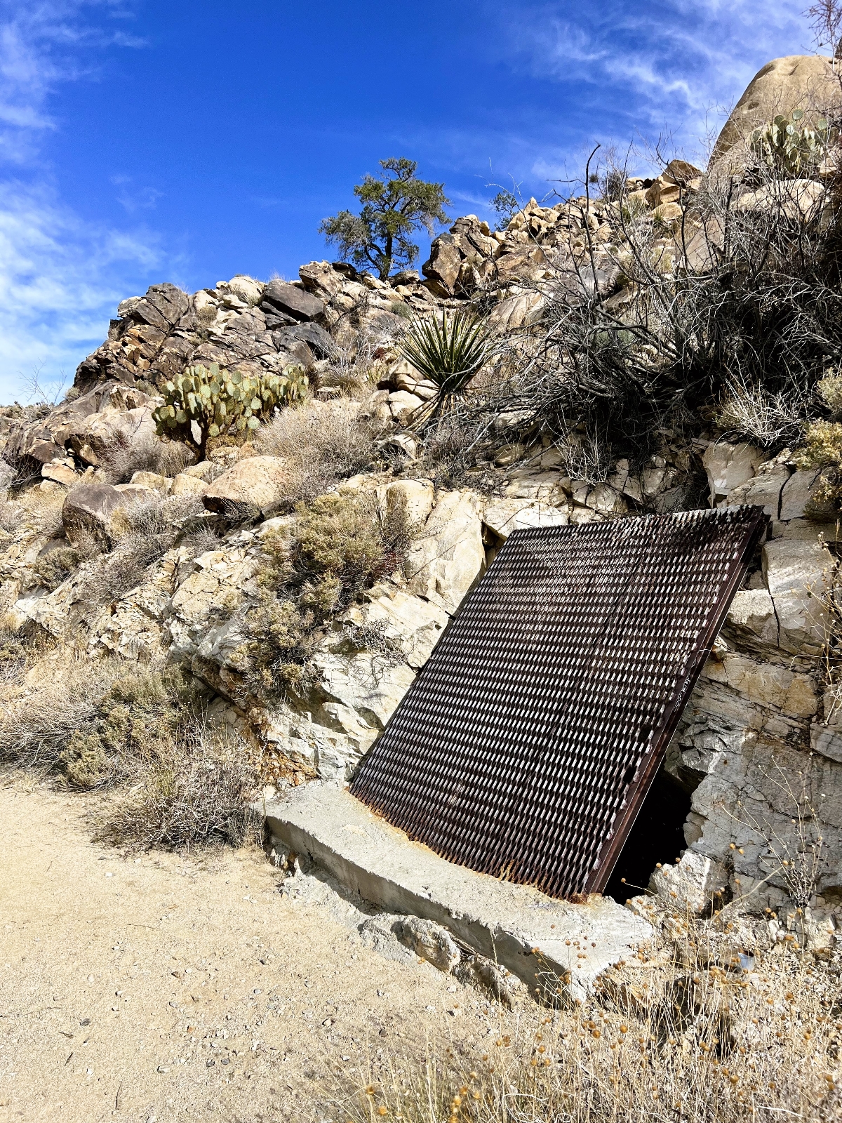
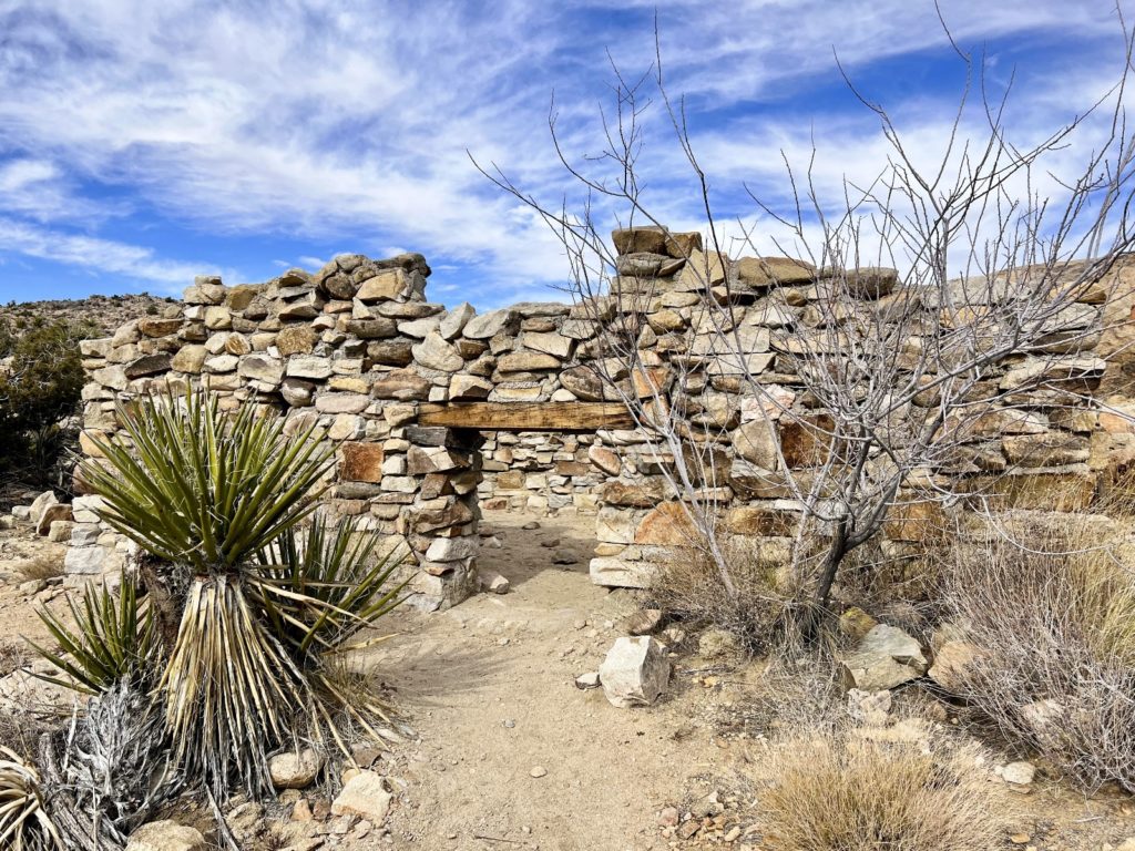
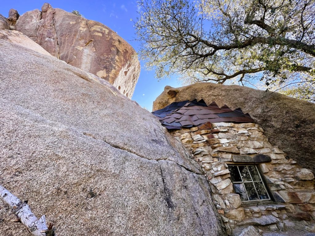
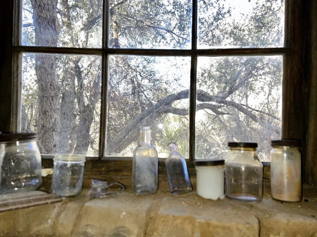
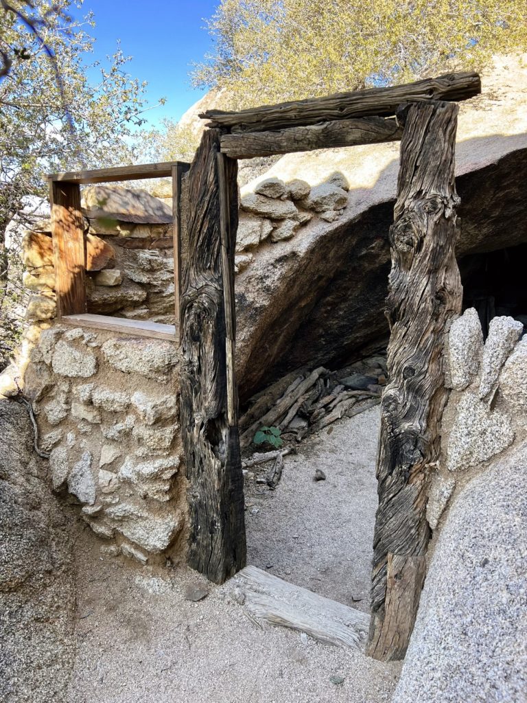
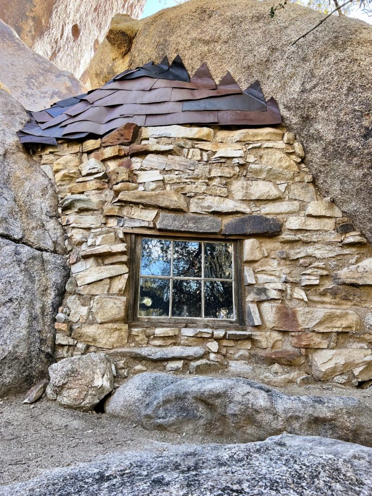
We extended our hike by following a user-defined trail to the Eagle Cliff Boulder House. The route to the house is not an official trail and required mild scrambling up a rocky hillside and some basic route finding skills. By far, this was the highlight of the hike. The small home was cleverly built into some classic Joshua Tree boulders and many of the resident’s belongings could still be found inside. Please be respectful if you visit this special site. Leave only footprints and take only pictures.
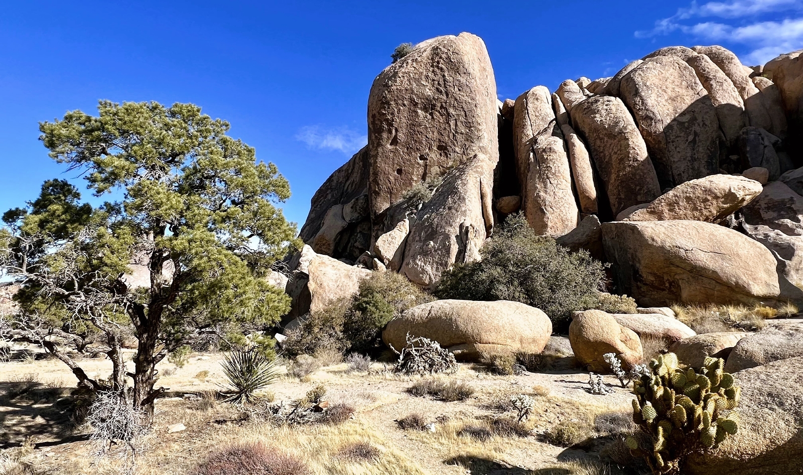
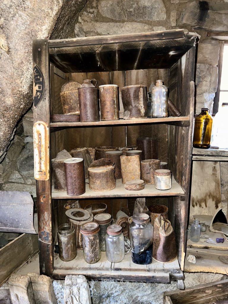
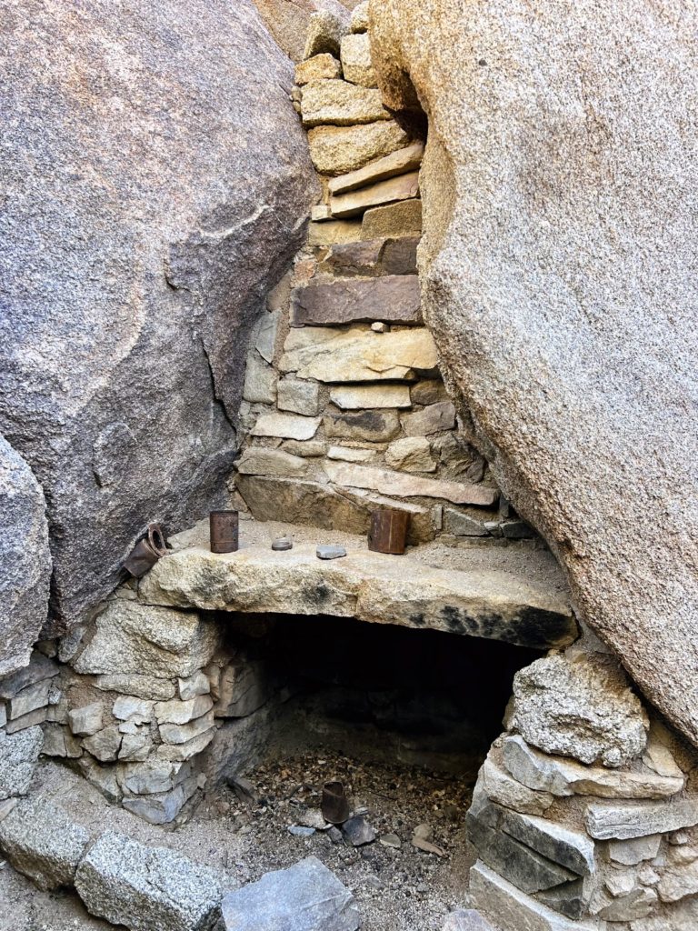
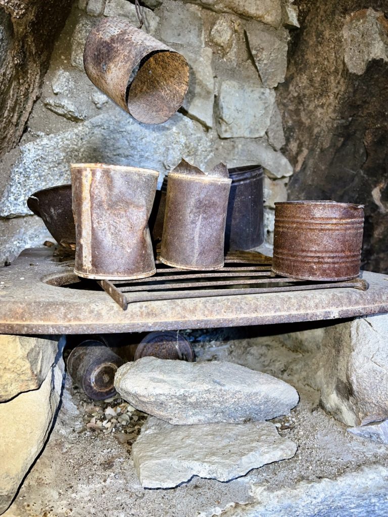
Directions to the trailhead: from Park Boulevard 5 miles west of the intersection with Pinto Basin Road, turn north on Desert Queen Mine Road. Drive a mile along this dirt road to the trailhead. At the risk of sounding like a broken record, trailhead parking is limited so be sure to arrive early!
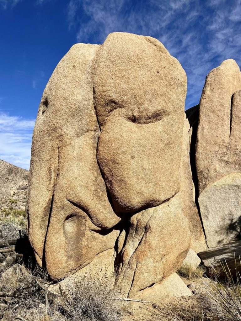
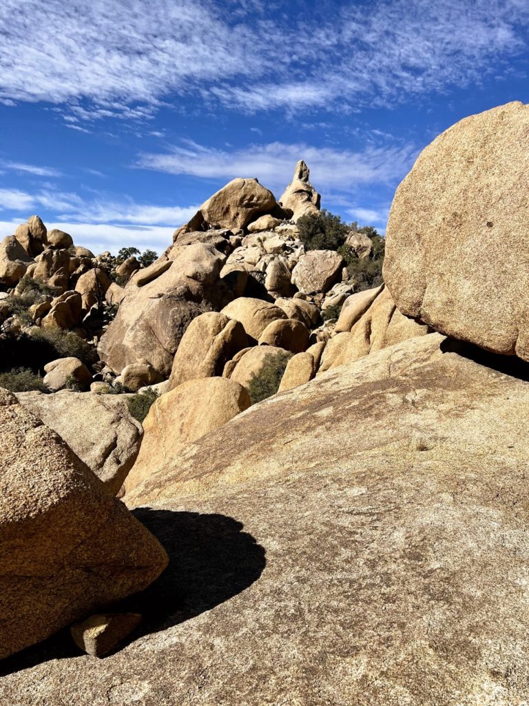
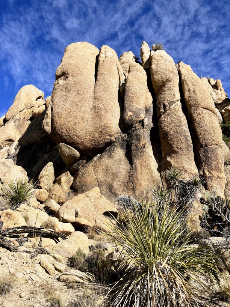
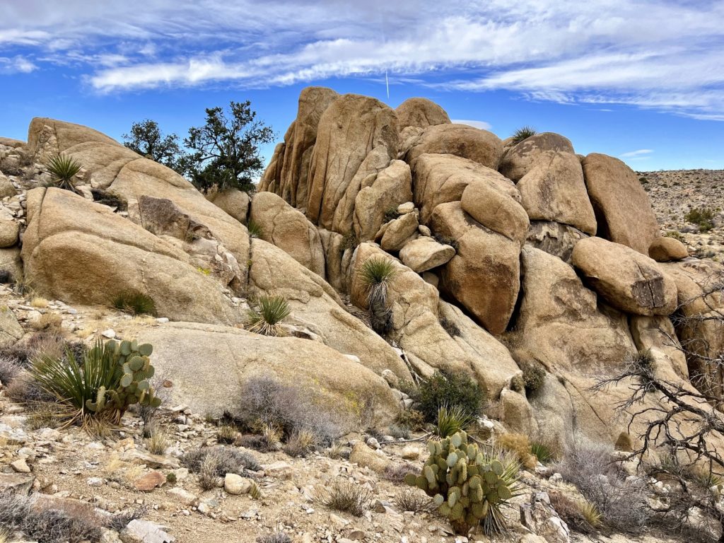
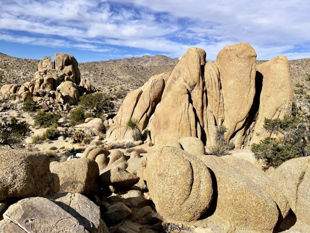
Maze Loop Trail
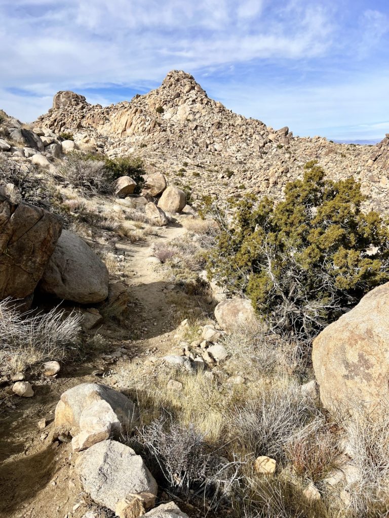
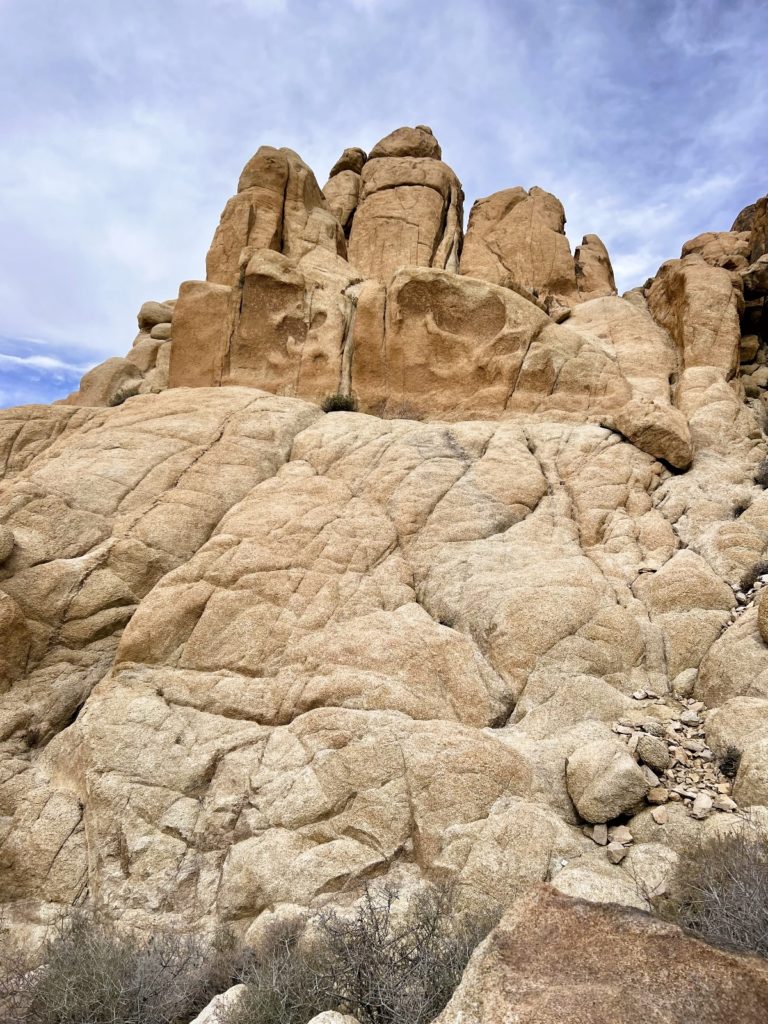
Like the Desert Queen Mine, the Maze Loop Trail does not appear on the Joshua Tree National Park brochure map or official list of trails; however, the Park Service added some trail junction signs a few years ago making this trail relatively easy to follow for those with basic route finding skills. There are a few less-than-obvious sections along the route and the park considers this a moderately challenging route, so make sure you go prepared.
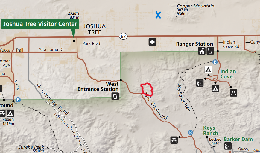
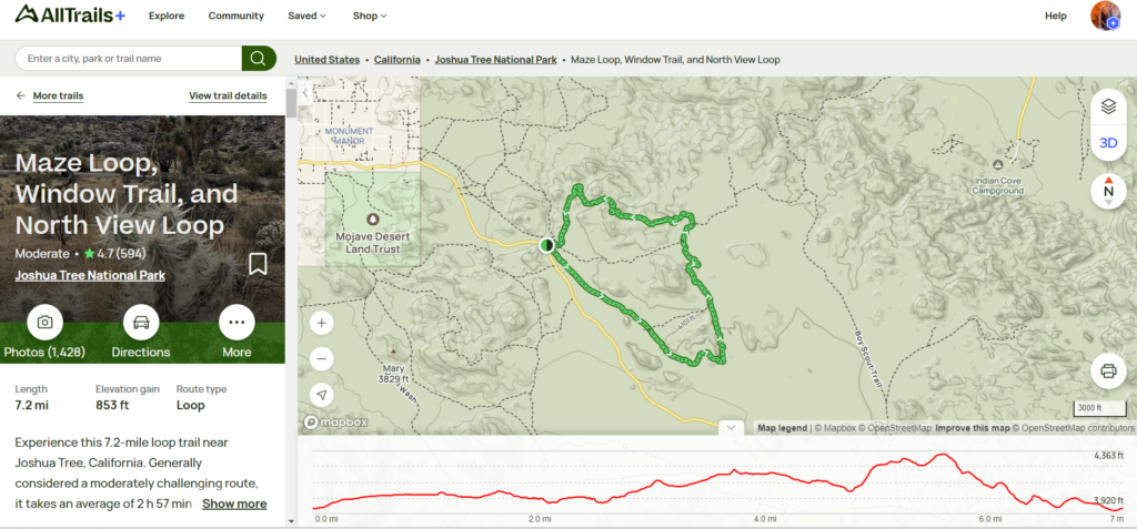
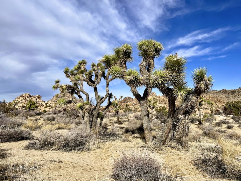
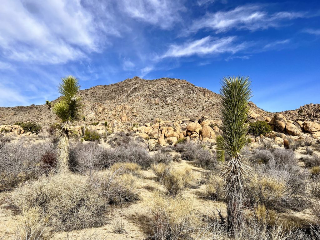
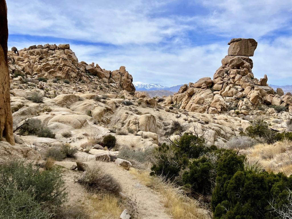
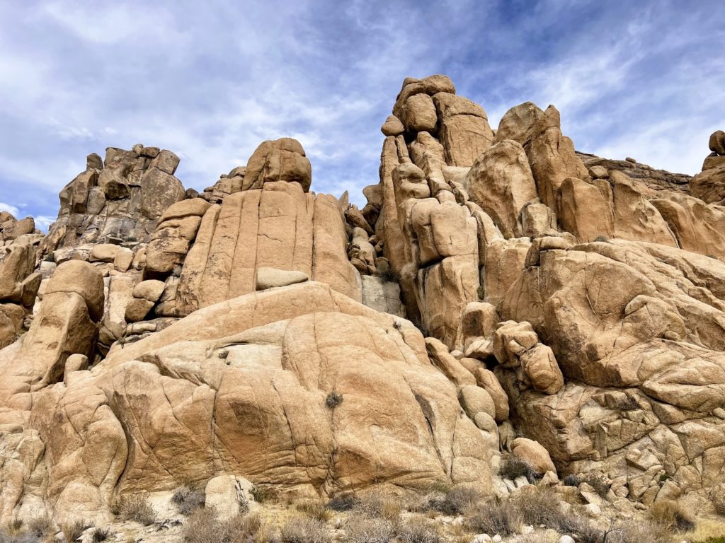
A network of trails in the area provides hikers with options for shorter or longer routes. We combined North View, Maze Loop, and Window Rock trails to form a 7.0 mile loop with approximately 700 feet elevation gain. This was a fun route that took us through massive boulder formations, Joshua tree forests, washes, and small slot canyons. We had partly sunny skies for our hike which provided us with views of snow covered San Gorgonio Mountain to the north west. And, best of all, we only saw a handful of other hikers.
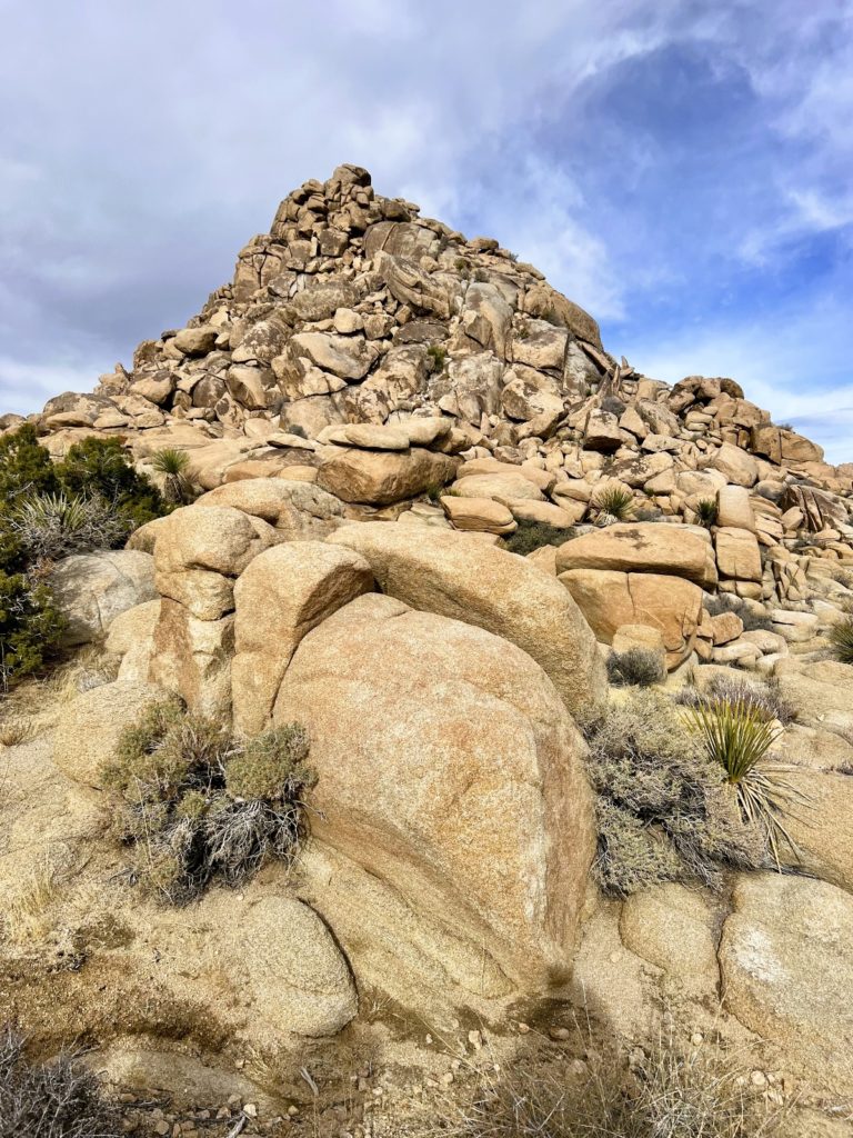
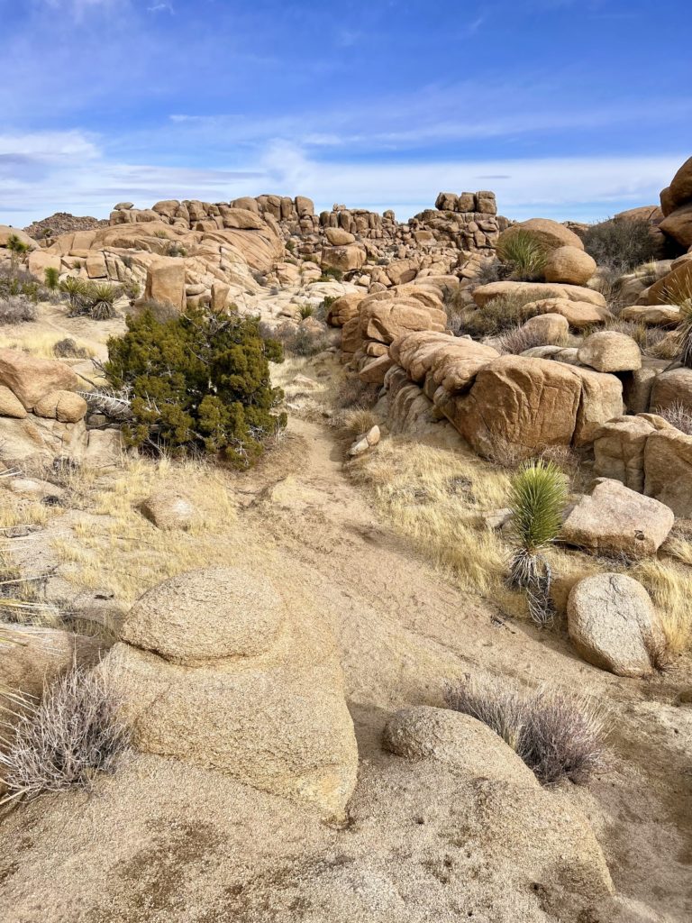
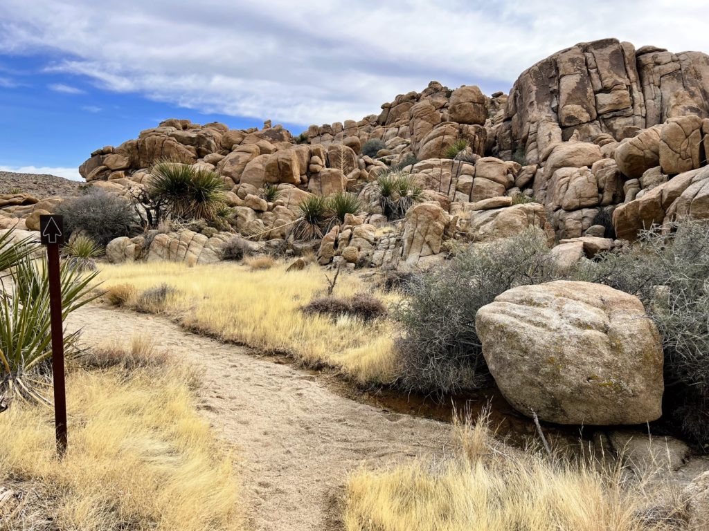
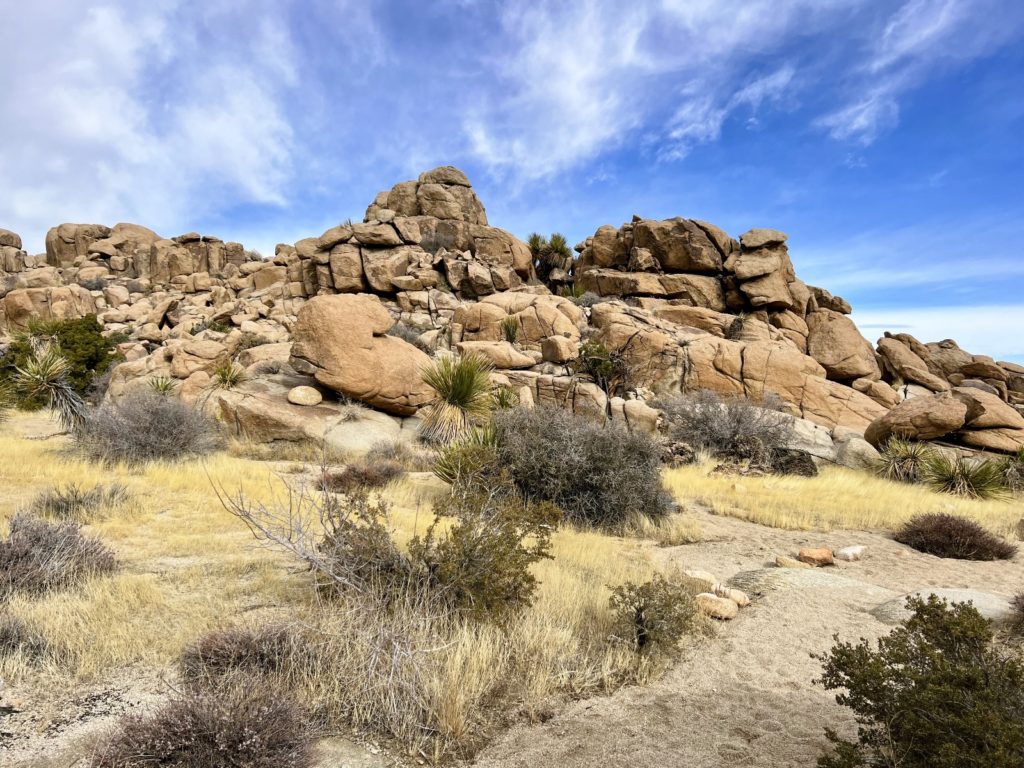
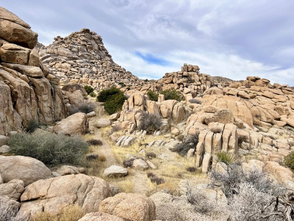
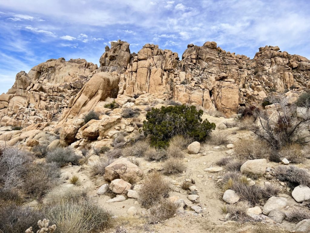
To find the trailhead, start at the town of Joshua Tree and proceed to the park’s west entrance. Once in the park, continue 1.7 miles along Park Blvd to mile marker 24. You will see a small dirt parking lot on the left side of the road. Arrive early to secure one of the handful of parking spots and begin your hike here.
Related Posts
- Our Joshua Tree National Park Adventures Begin
- Joshua Tree National Park: Keys Desert Queen Ranch Tour
- Joshua Tree National Park: Black Rock Canyon-Panorama Loop
- Joshua Tree National Park: Barker Dam & Wall Street Mill
- Joshua Tree National Park: Willow Hole
- Joshua Tree National Park: Skull Rock-Split Rock Loop In the Snow!
- So Cal’s Lake Cahuilla and Lost Palm Oasis
The Adventure Continues
Join us for our next post as we make our way back into Nevada. And don’t forget to check out our Amazon RV and Adventure Gear recommendations. We only post products that we use and that meet the Evans Outdoor Adventures seal of approval. By accessing Amazon through our links and making any purchase (even things as simple as toothpaste!), you get Amazon’s every day low pricing and they share a little with us. This helps us maintain this website and is much appreciated!
