Stunning views and an outlaw arch along the Cohab & Frying Pan Trails in Capitol Reef National Park
Distance: 9.0 miles round trip
Type: out and back
Difficulty: moderate with 2,000′ elevation gain
Best season: spring and fall
Note: much of this trail runs across slickrock and is navigated by following cairns
Friday, October 11th, we awoke to a beautiful morning. I was thrilled that we’d have one last beautiful day of hiking on our “hiking around the government shutdown” vacation. We’d hiked some amazing trails over the week: Amasa Back, Dead Horse Point State Park loop, Kane to Grand Gulch, Fallen Roof and Citadel Ruins, Sand Canyon, and Tower Ruins. The only question that was left—where to go on our last full day of hiking?
We turned the news on and saw a live interview with the Utah governor announcing his successful deal with the federal government. The state of Utah would PAY the feds to open the Utah National Parks and Monuments. Right there on live t.v. he announced “the parks are open today… come on down!” That’s it, we were headed for Capitol Reef National Park!
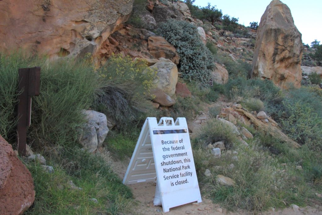
We headed west from Hanksville along highway 24. As we drove through the part of Capitol Reef National Park that is accessible from the highway, I noticed that most of the pullouts were not barricaded; however, the parking lot for the Hickman Bridge Trailhead was. Also barricaded was the eastern terminal of the Cohab Trail Trailhead. We drove a little further to the park entrance and founded it gated off. There were a couple cars parked there waiting and we saw two large tour buses pull up, stop, wait for a minute, and pull off.
Clearly the park wasn’t quite open yet. But the governor had said the parks would be open today, so… we flipped a u-turn and drove back toward the Hickman Bridge Trailhead. Passing the barricaded parking lot, we continued down the highway approximately 1/4 mile and parked in the first legally available parking area on the side of the highway.
We grabbed all our hiking gear and somewhat nervously hiked the ¼ mile down the highway. We reached the Cohab Canyon Trailhead, marched past the barricade, and began our hike. A short climb and we were out of sight of the road.
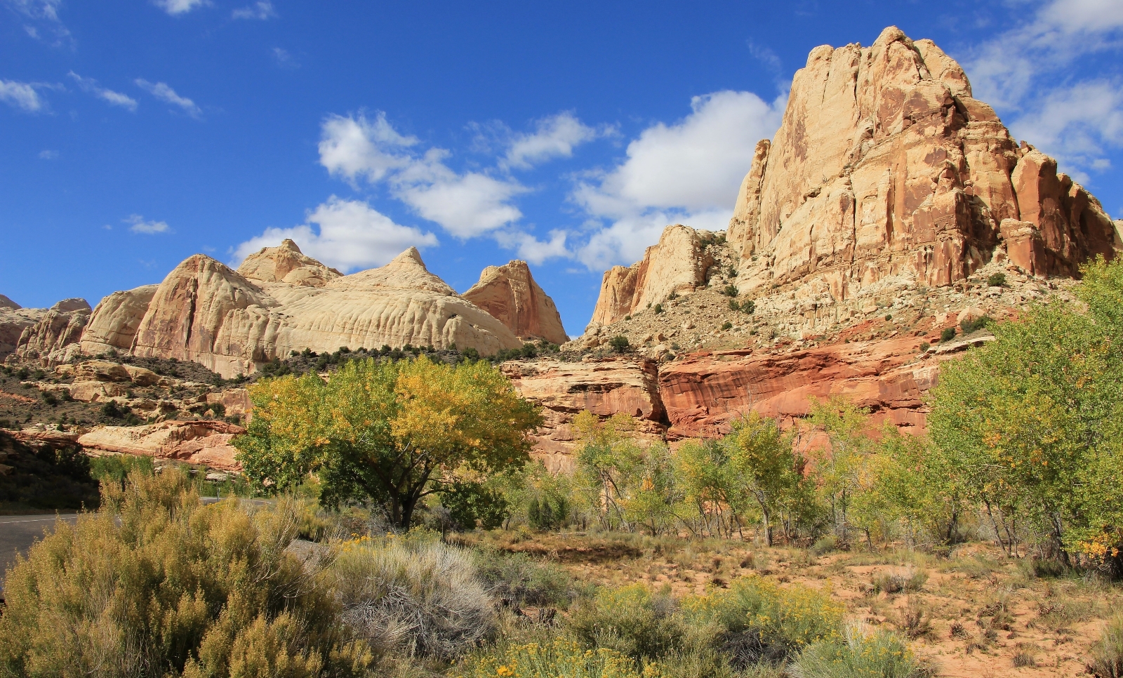
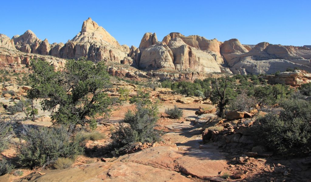
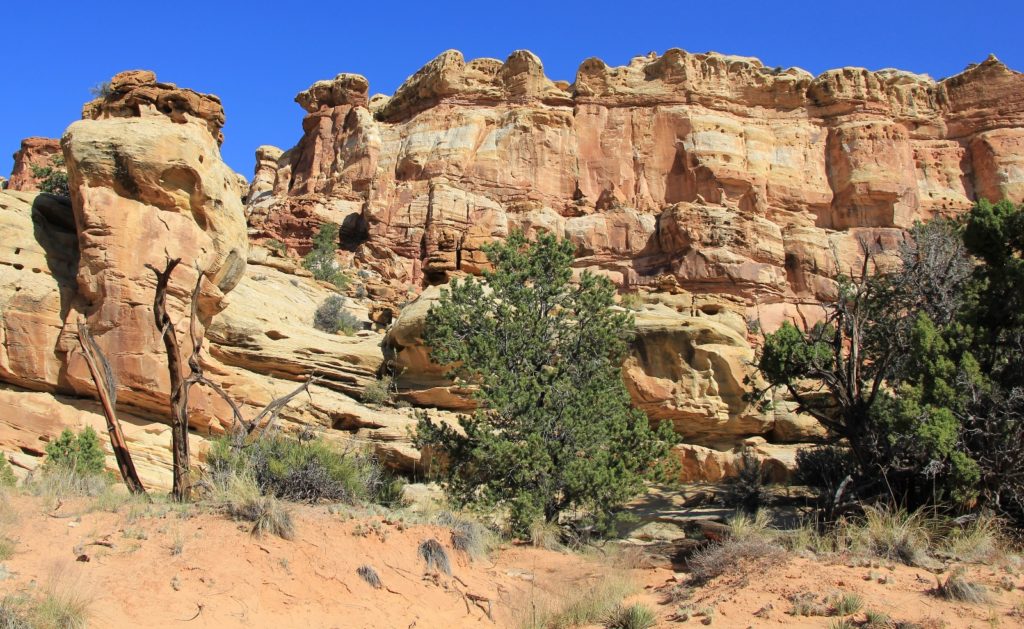
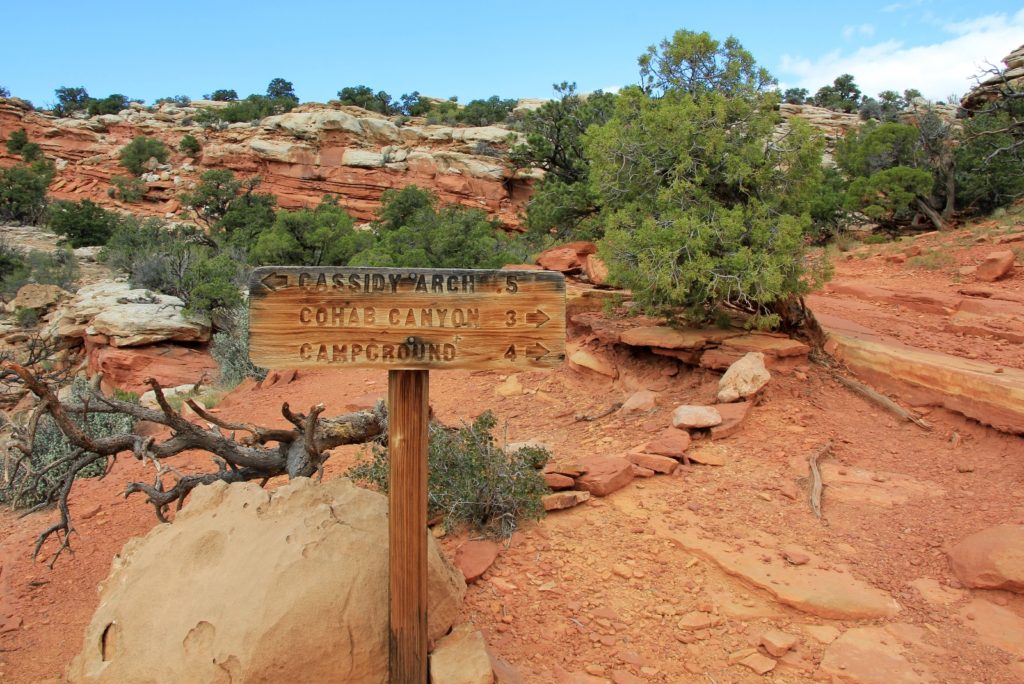
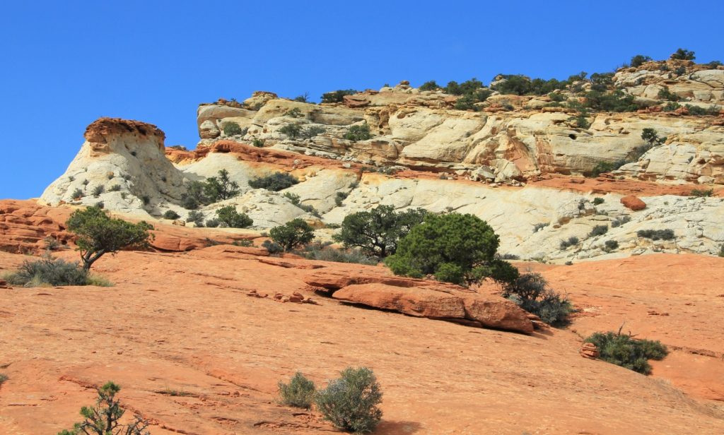
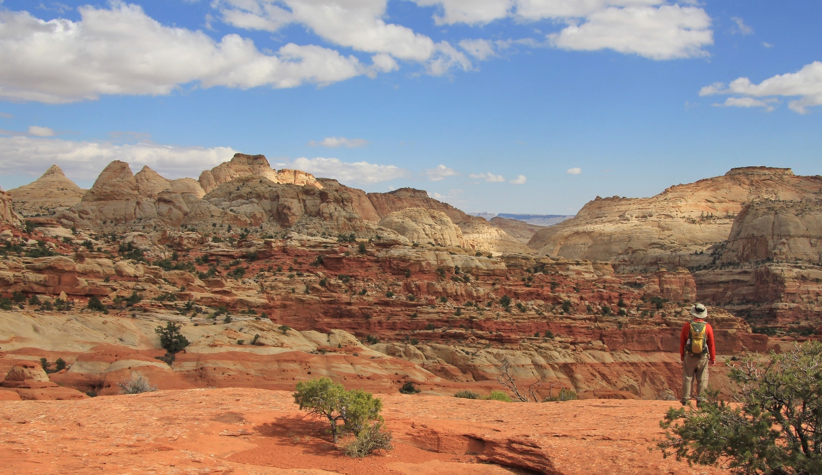
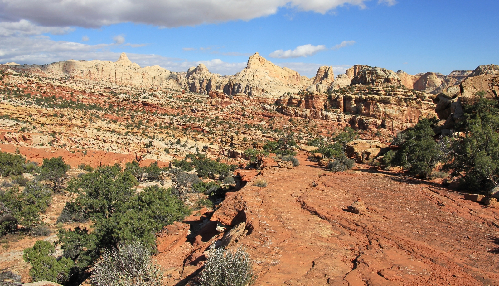
Views from the trail were incredible right off the bat and would remain so for the entire hike. We climbed 0.8 miles until we reached the Frying Pan Trail. We took a left there following signs for Cassidy Arch.
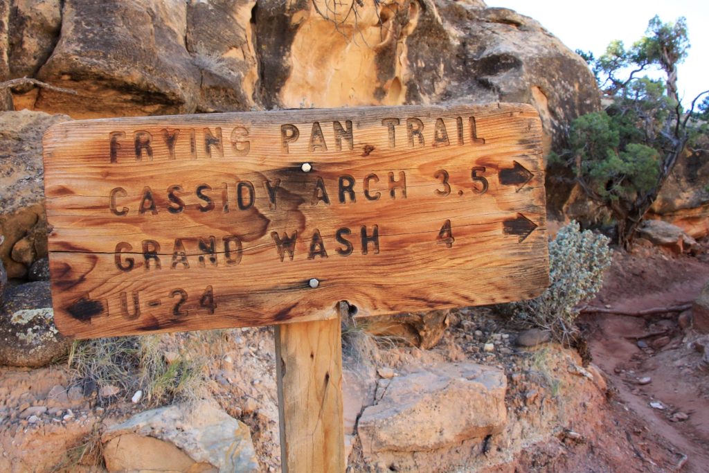
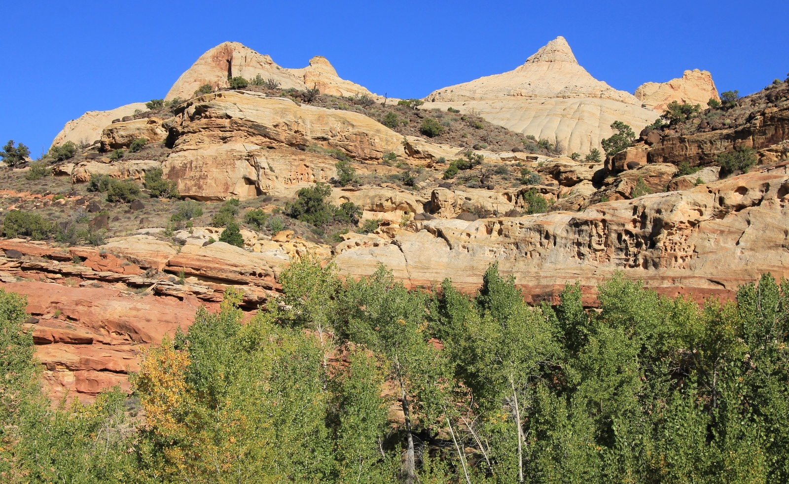
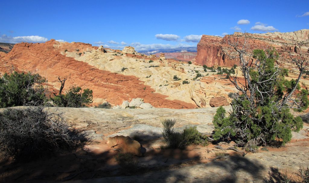
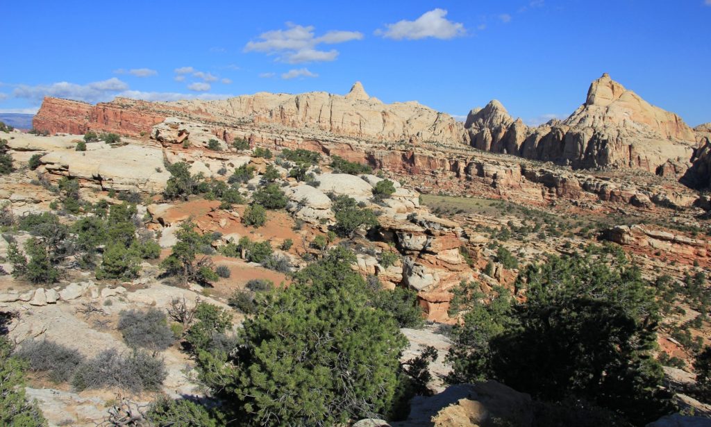
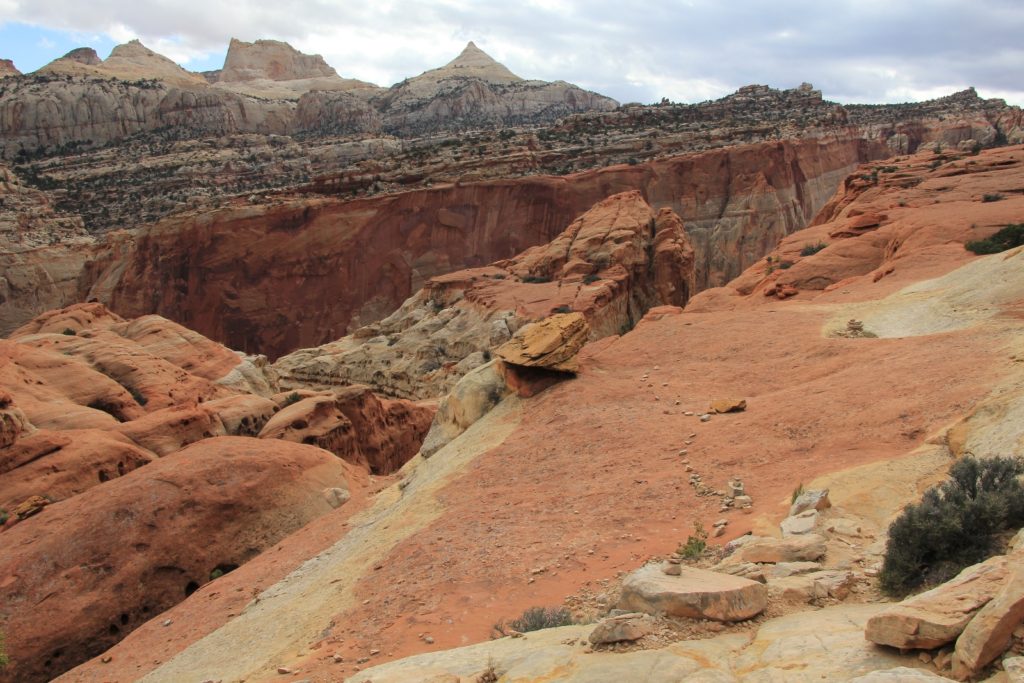
From that junction, it was a 3.5 mile hike to Cassidy Arch. We made one big climb, dropped down, made another climb, and then made our descent down to where the side trail takes off for Cassidy. Views were stunning for all of this stretch.
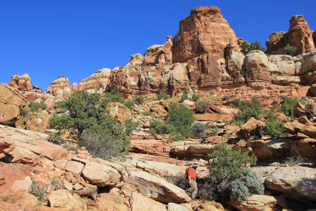
From there we followed cairns 0.5 miles out to the arch. Yes indeed, Cassidy Arch is named after the infamous outlaw who was raised not far west of Capitol Reef and frequently hid out in Utah’s canyonland country.
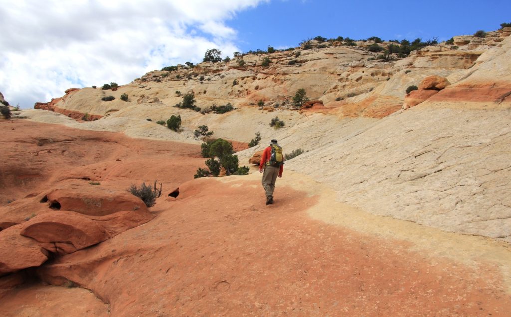
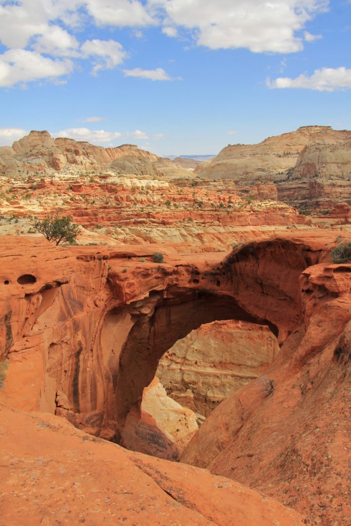
We didn’t see a single soul all the way to Cassidy. The temperatures were perfect for hiking, we had partly sunny skies, and complete solitude inside a national park. It was wonderful and weird all at the same time.
Shortly after beginning our hike back, we met up with an early retiree looking woman. She and her husband (who was further back on the trail) had crossed the barricades and hiked the same trail two days prior. She said she had a note on her car when she returned from the hike saying not to leave your car unattended, but no ticket. They were from Boulder and their home was undergoing major repairs from the massive flooding the previous month. We continued along the trail and didn’t see anyone else the entire hike.
As we were descending down to the trailhead, we reached a spot where we overlooked the Hickman Bridge parking lot. We could see a park service truck and two men removing the barricades. We waited a minute until they left and finished our descent to the highway.
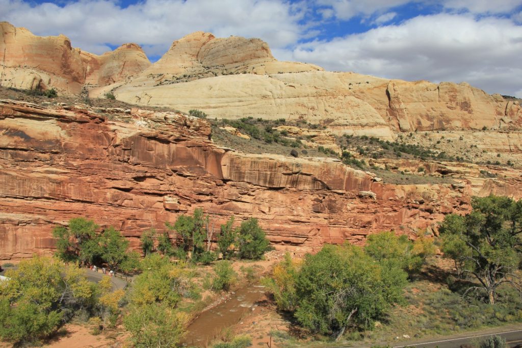

We had hiked 9.0 miles round trip with an estimated 2,000′ elevation gain if you counted the climbs on the way in and out (estimated from gps waypoints taken during the hike). It had been a slightly more ambitious hike than I had estimated elevation gain wise, but the scenery had been stunning. As usual, Capitol Reef didn’t disappoint.
Directions to Cohab Canyon Trailhead: From Torrey, Utah, follow highway 24 east 12.7 to the Hickman Bridge Trailhead. Park your car here. Cross highway 24 and walk east a short distance to the well signed trailhead.
This so makes me not want to be at work!
You would love the Torrey area- so beautiful and so much good hiking!