Climb to a rare D-6 lookout along the ID-MT border with spectacular views of the Bitterroot Divide
Distance: 9.0 miles
Type: out and back
Difficulty: moderately difficult with 3,080′ total elevation gain
Best season: July – September
Bud Moore’s book The Lochsa Story: Land Ethics in the Bitterroot Mountains, served as the catalyst for our 2010 hike to Grave Peak Lookout along the Idaho-Montana border. I had read the book about ten years prior and his description of Grave intrigued me, but we weren’t hikers yet and a 9 mile hike with 3,000 feet of elevation gain seemed impossible.
In 2009 we actively began hiking as a hobby and it didn’t take long to set my sights on the trail to Grave which is located off US-12 where Lolo Pass drops down to the upper reaches of the Lochsa River. A 4th of July scouting trip to the area introduced us to nearby Elk Summit and Hoodoo Lake; however, we ran into hikers who reported dangerous lingering snow fields and ice on the final ascent to the lookout. Our hike would have to wait.
On a late August weekend, we left our home in SE Washington for what would be one of our most exciting days on the trail. It was close to a 5.5 hour drive to the trailhead for Grave Peak. On the way, we stopped and checked in with the Forest Service. They reported no known obstacles on the trail or any reason for concern.
We found one lone vehicle when we arrived at the trailhead, a truck with a horse trailer. We grabbed the modest gear hiking gear that we had acquired over that first year of hiking and hit the trail.
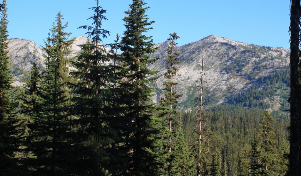
The trail to Grave Peak starts at about 6,300′ elevation and follows an old single lane road through heavy spruce forest for about 1 mile. We caught a few glimpses of the beautiful ridges we’d be climbing later, but mostly this was a view-less section of trail. At about .75 miles we passed a trail junction to the left. We continued straight ahead toward Kooskooskia Meadows.
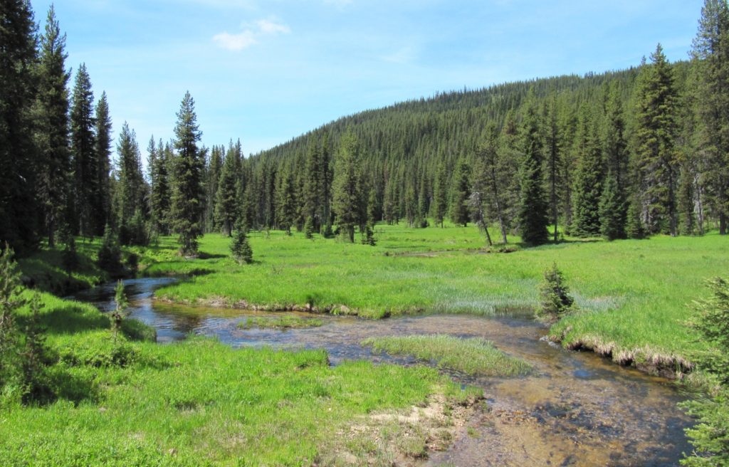
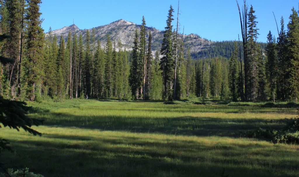
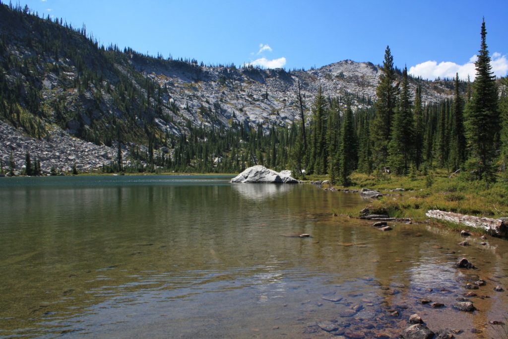
At roughly 1.0 mile the abandoned road passed to the right of a small pond. The road continued straight ahead for a short distance before dying out while the trail continued on and immediately passed alongside Kooskooskia Meadows, a marshy area which results from a high water table which is typical for this area. To say that mosquitoes love this area is a gross understatement—go prepared for a swarm. All our trips to the Elk Summit area have been plagued by these little blood sucking bastards as well as small biting flies.
Continuing on from Kooskooskia Meadows, the trail resumed its climb. Soon we caught our first glimpse of Grave Peak Lookout perched atop a pyramid of granite towering in the distance. At a little over two miles in, there was another trail junction. At the time of our hike there was no sign here and it caused quite a bit of confusion. The trail to the left climbs to Friday Pass. We continued straight ahead for Grave Peak.
About 0.5 miles further the trail made an initial top out at Swamp Lake where we saw a few nice campsites. I have read that there are no fish in this lake.
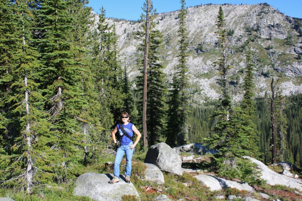
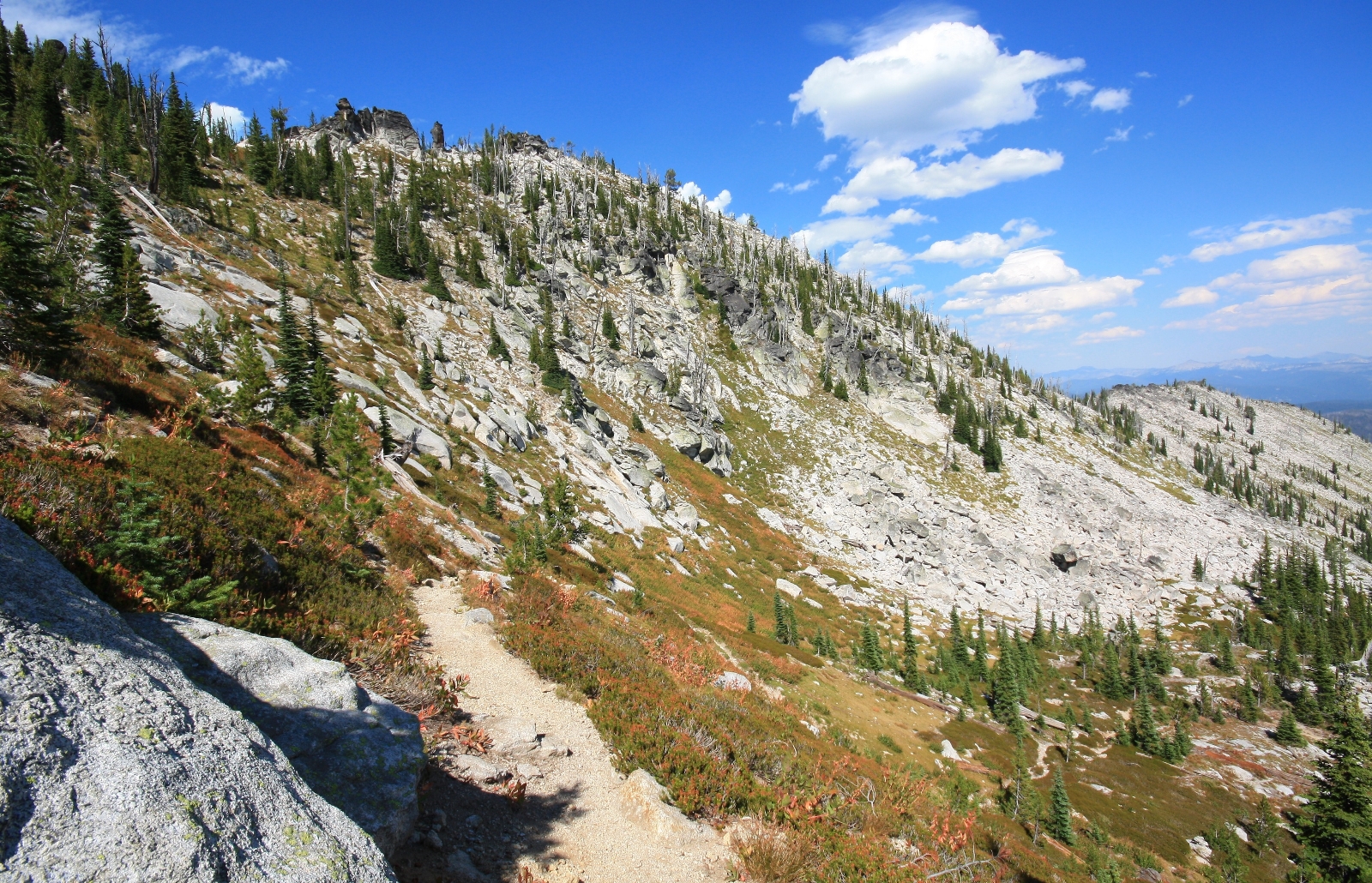
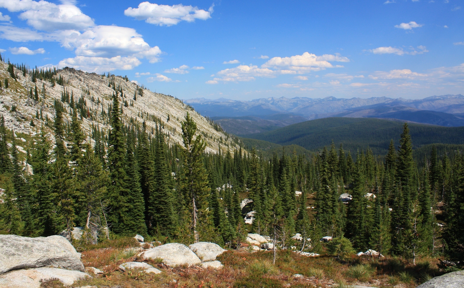
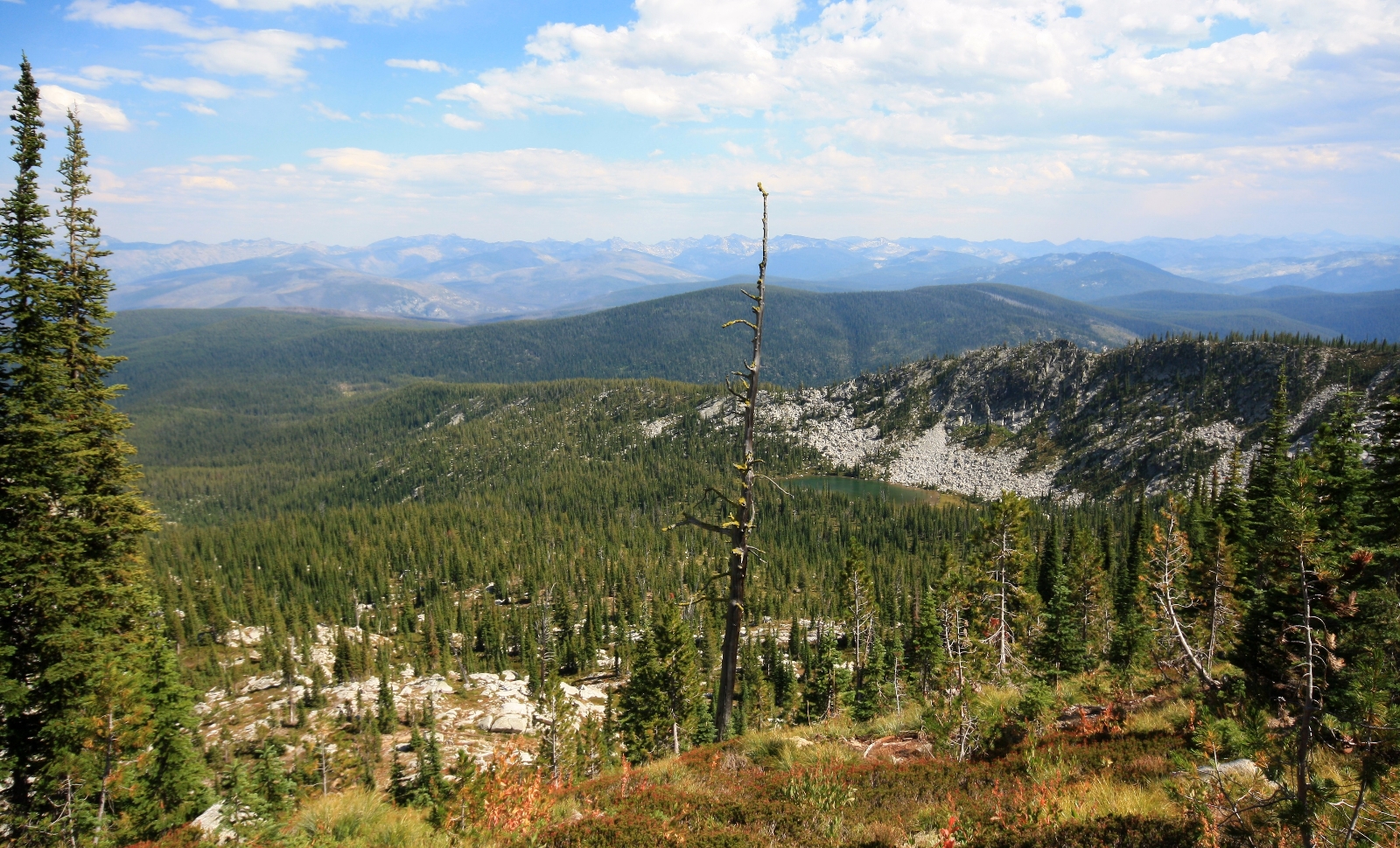
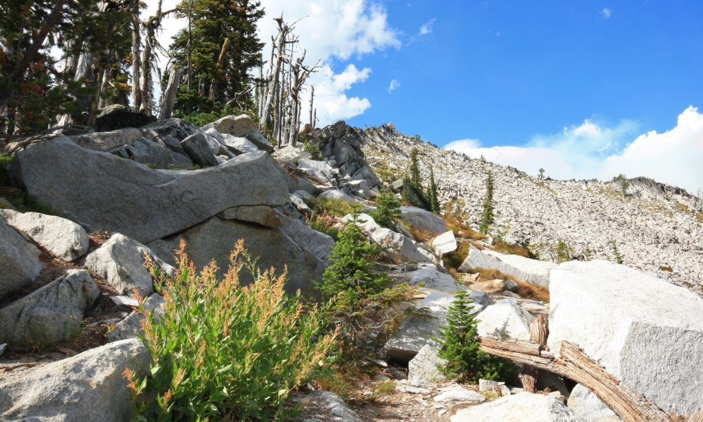
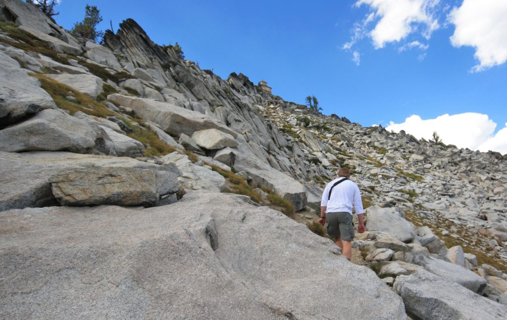
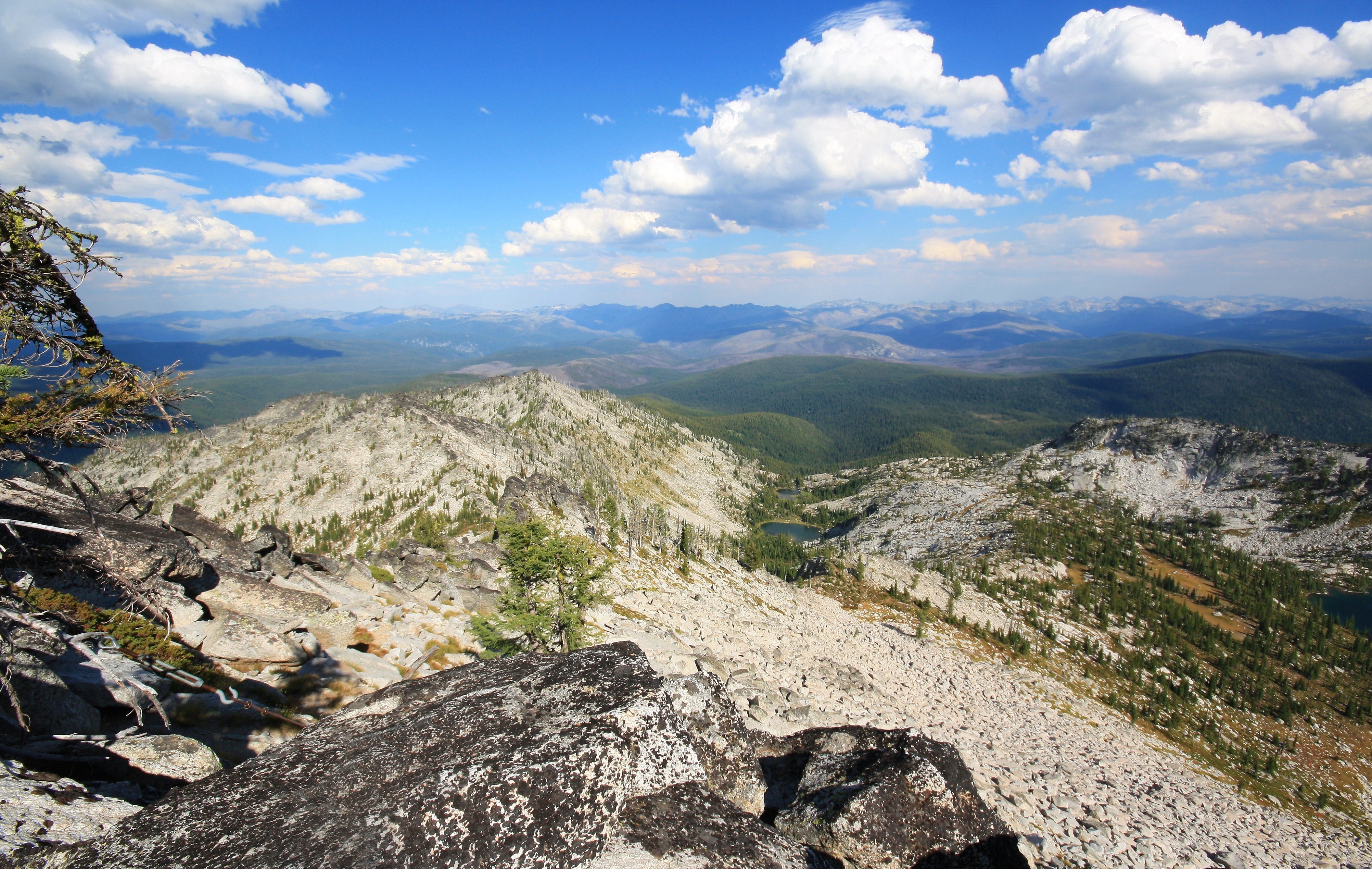
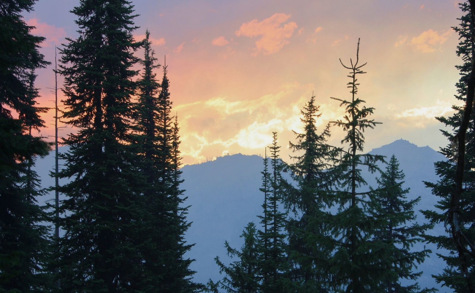
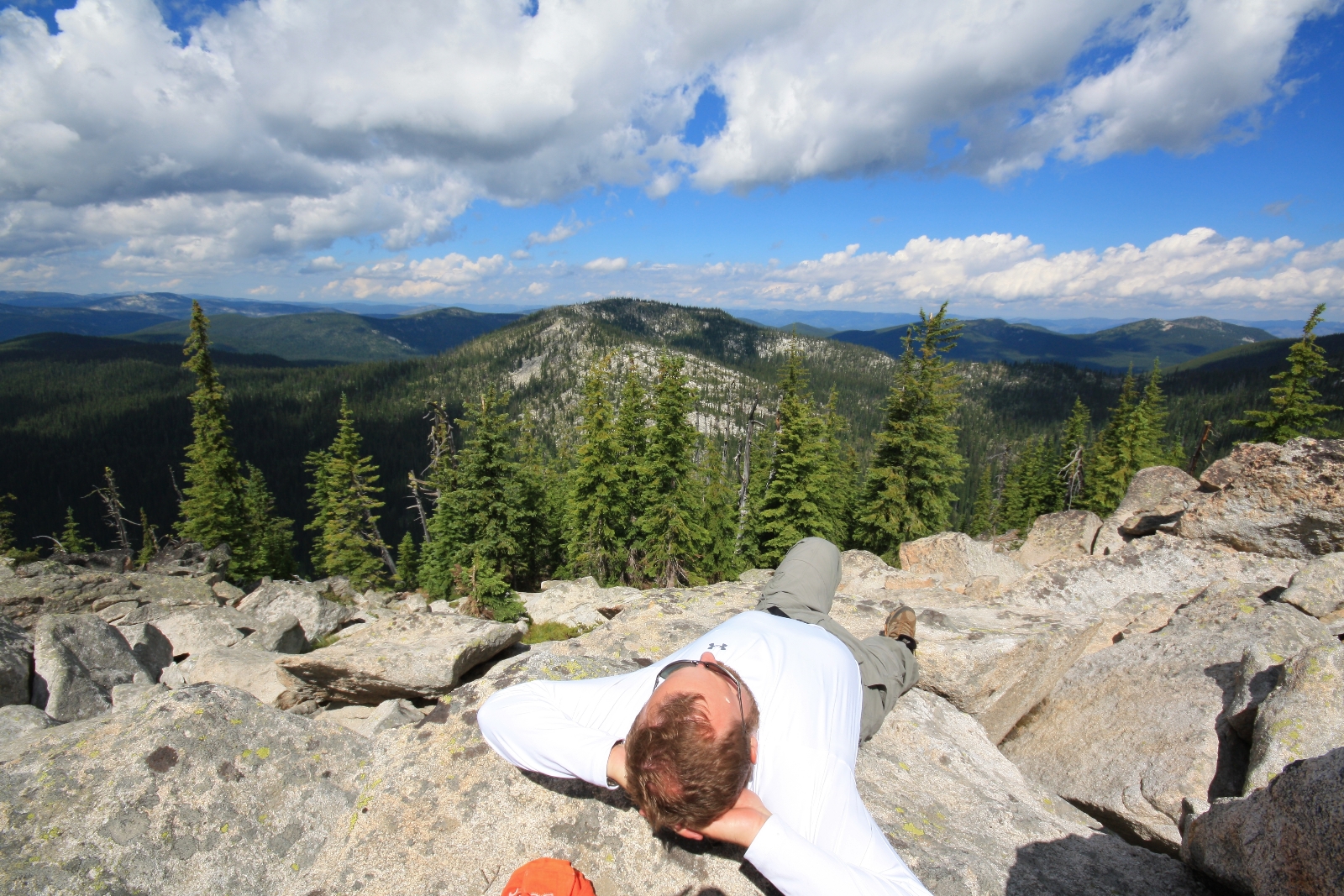
Past Swamp, we made a brief descent before beginning an ambitious climb up switchbacks to Friday Ridge. During this climb, views of the surrounding Bitterroot Mountains began to open up making this was a very scenic part of the hike.
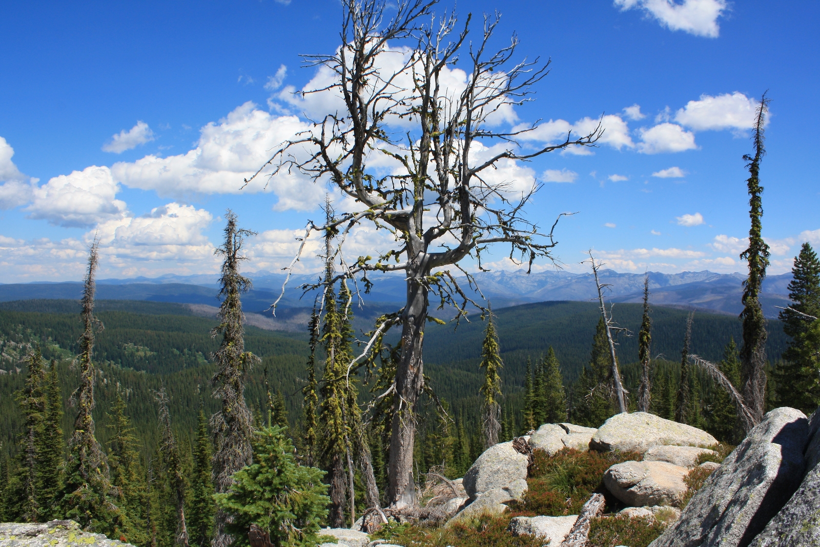
By now it was mid-day and the weather was absolutely perfect. Temperatures were in the 70s and we had mostly sunny conditions with beautiful clouds highlighting the dark blue sky. As we climbed toward Friday Ridge, Jason looked up at the ridge line. “See that cloud right there—I don’t think it looks like a regular cloud.”
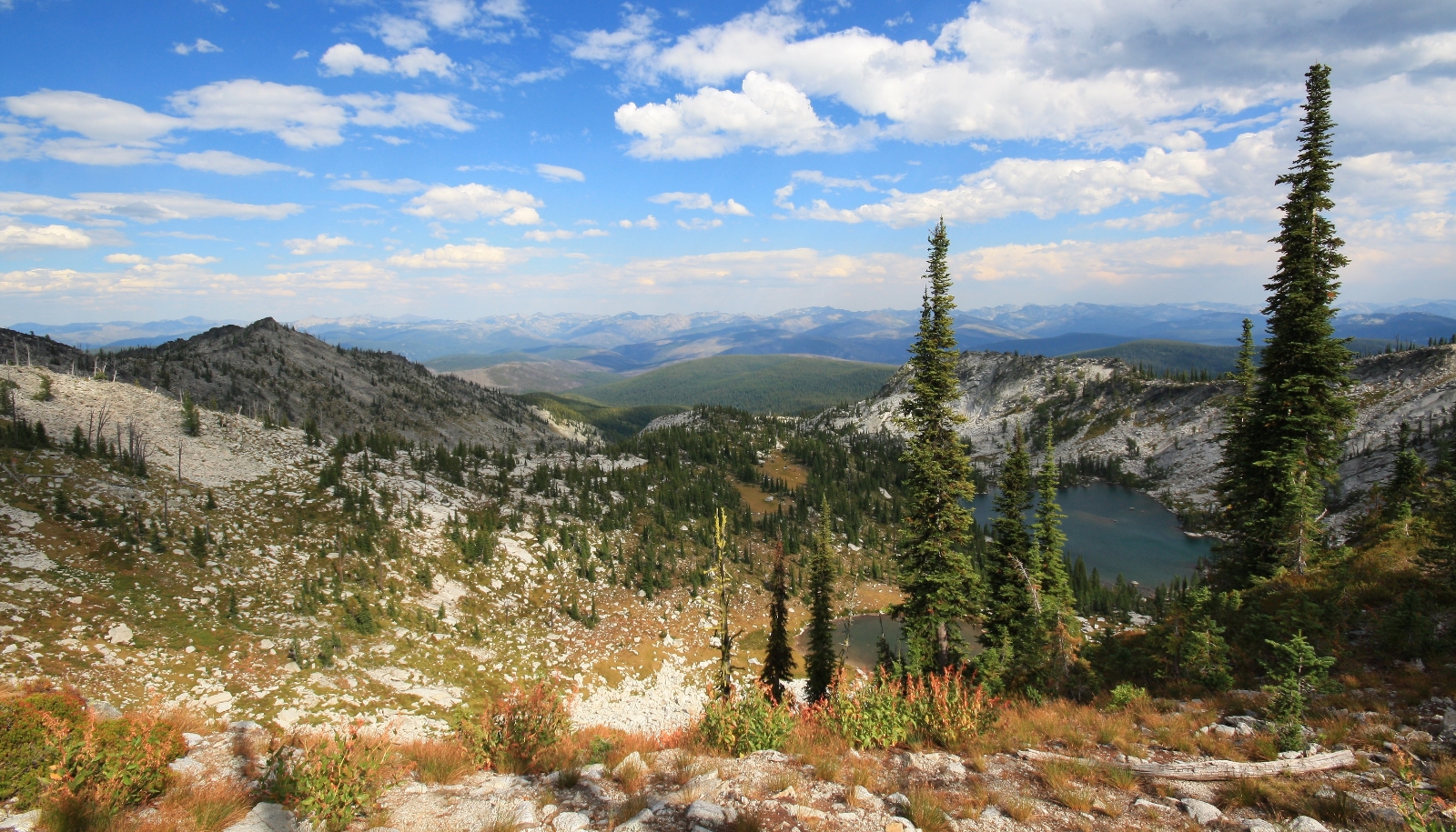
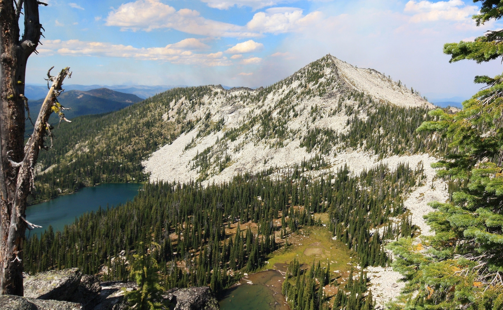
At 3.6 miles, just before topping out on Friday Ridge, the trail split once more. The main trail continued straight ahead to Wind Lakes while a side trail took off to the right for Grave Peak. Almost immediately after the trail split, we topped out on Friday Pass with far sweeping views including Wind Lakes immediately below, Grave Peak to the right, and to the left… a smoldering forest fire.
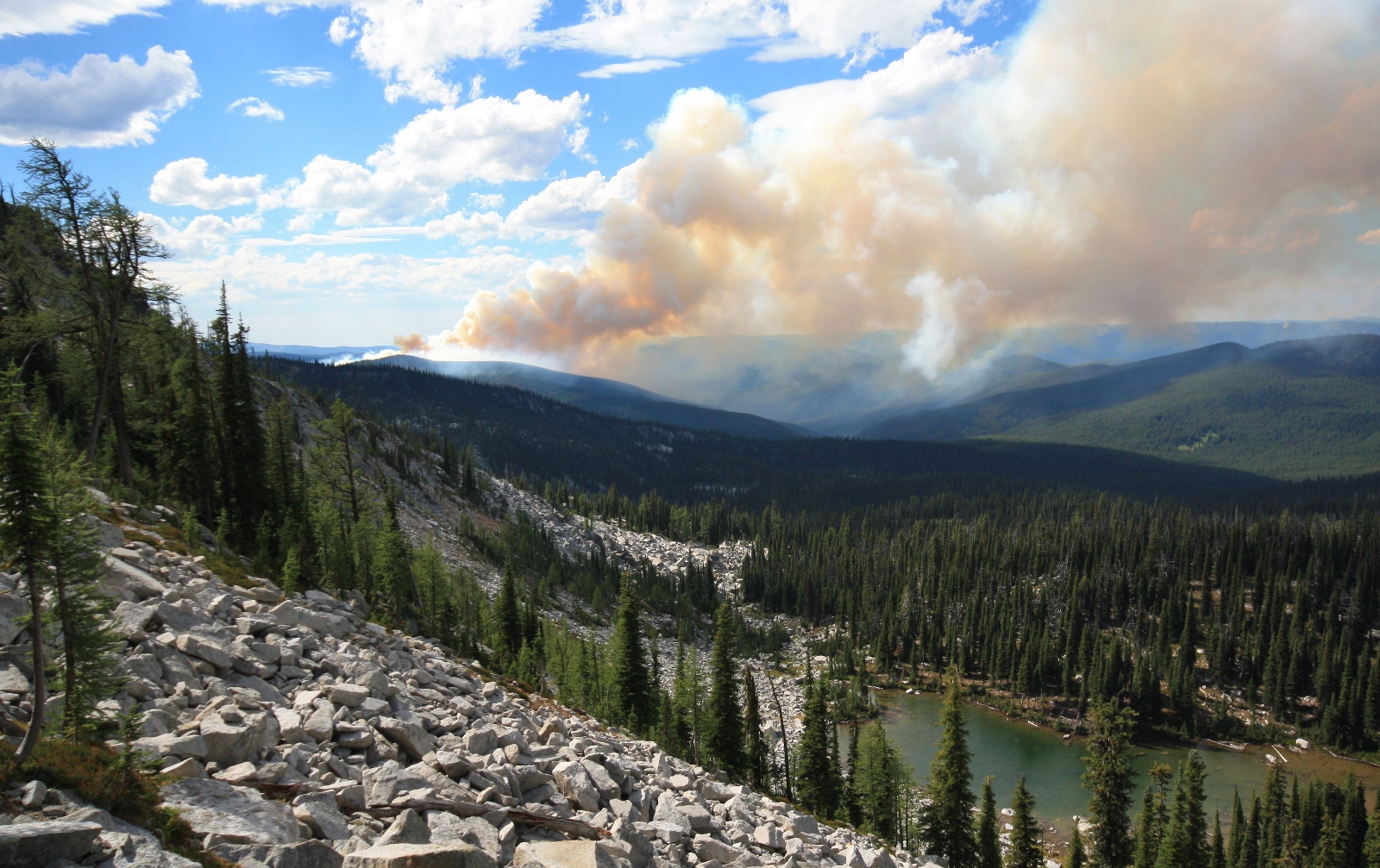
Hmmm, the Forest Service had said nothing about a fire. It didn’t seem to be actively burning or spreading and appeared to be a safe distance away, so we continued on.
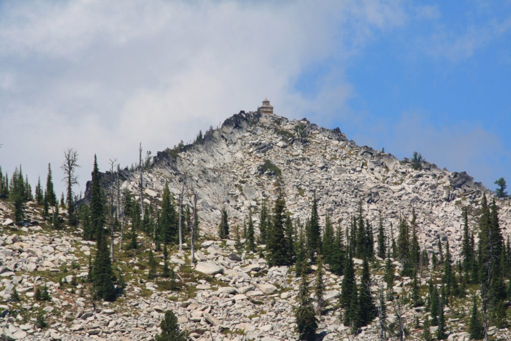
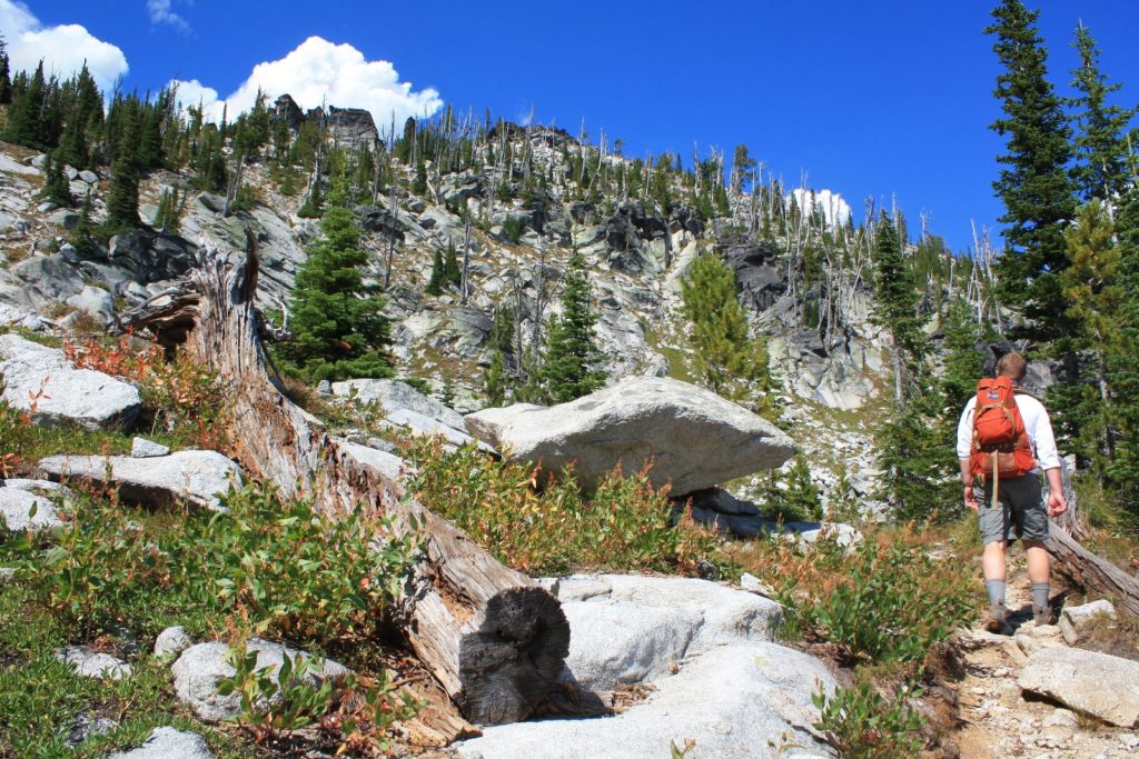
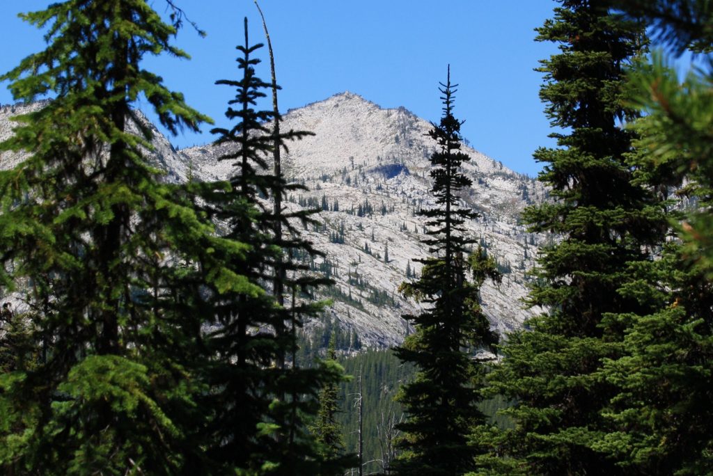
From Friday Ridge, the trail made a brief descent toward a saddle. From there, it was one final ascent on a narrow goat trail in between boulders up to the lookout. Grave towered directly above us at 8,282′ elevation.
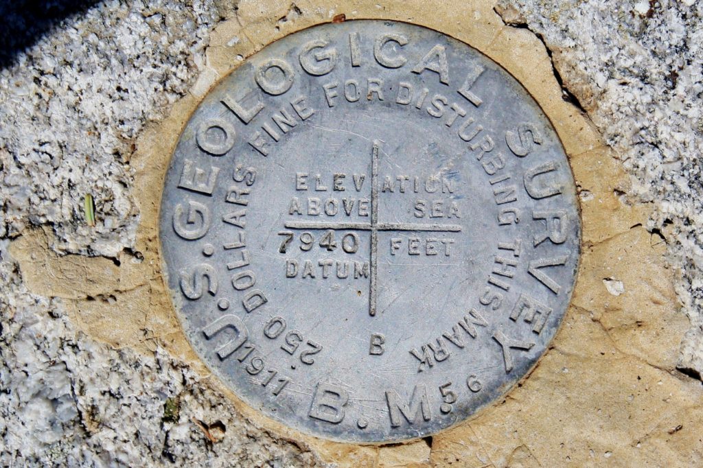
At 4.5 miles from the trailhead we topped out at the historic lookout. Built in 1924, it is a D-6 model lookout which is a cupola house design with a 12′ x 12′ main floor and a 1/4 sized second floor observatory. These were built mostly during the 1920’s and very few D-6 lookouts remain in the Northwest. Grave was retired from active service in 1968 and is in excellent condition given the hostile environment of harsh winters and high winds.
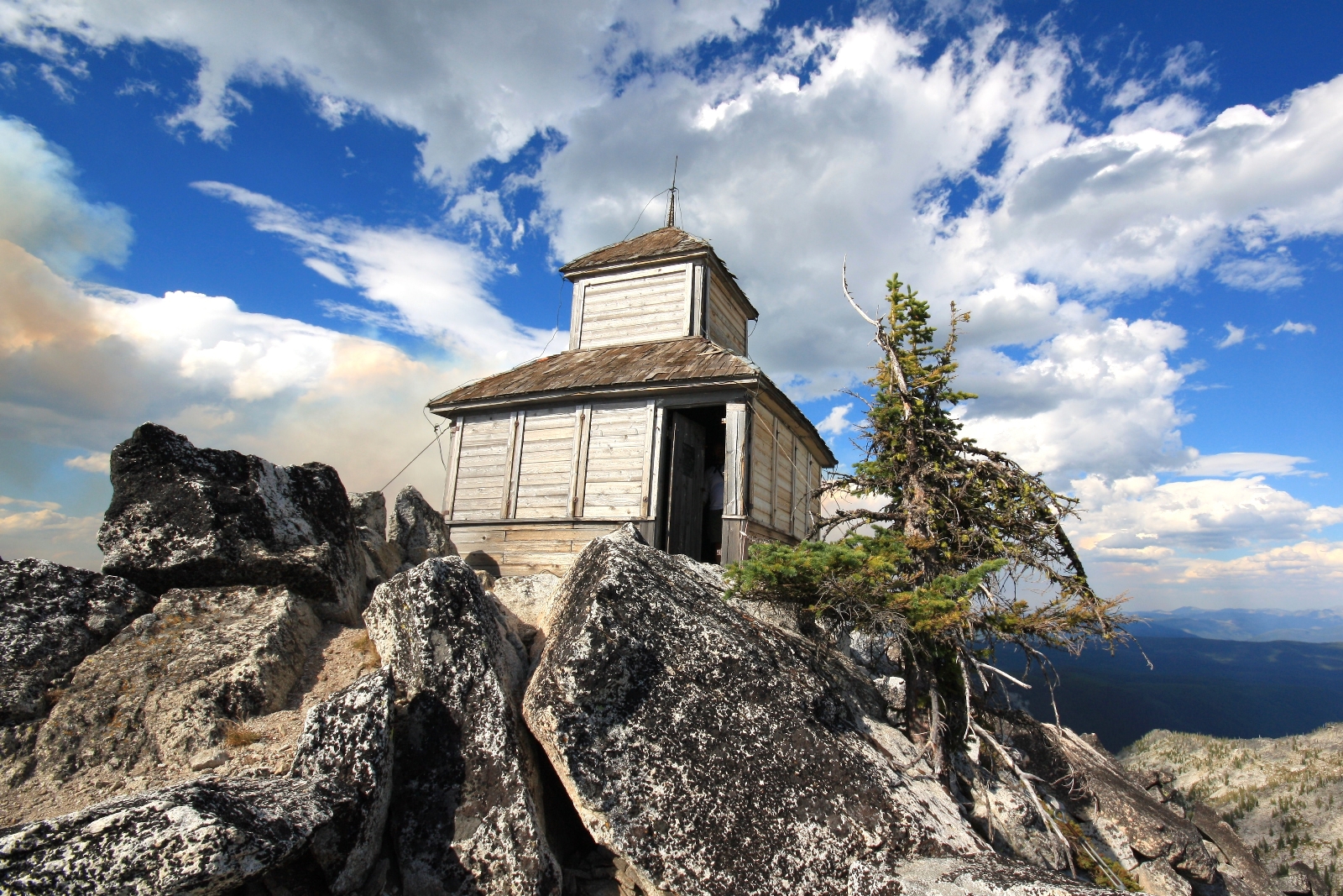
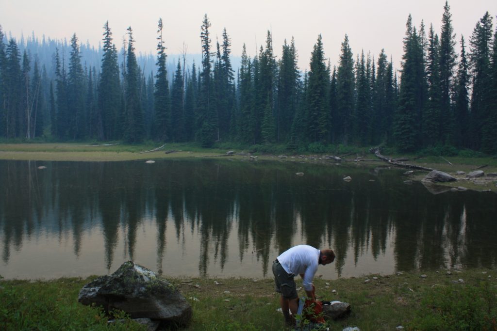
We explored inside and out while keeping an eye on the smoldering fire. And then the wind picked up—huge gusts shook the lookout. Like someone taking a billows to their fireplace, the wind fueled life into the beast. Flames raced up the trees and it actively began to burn in the direction of the lookout. That was enough for us. We took off down the trail at as fast a pace as we could sustain.
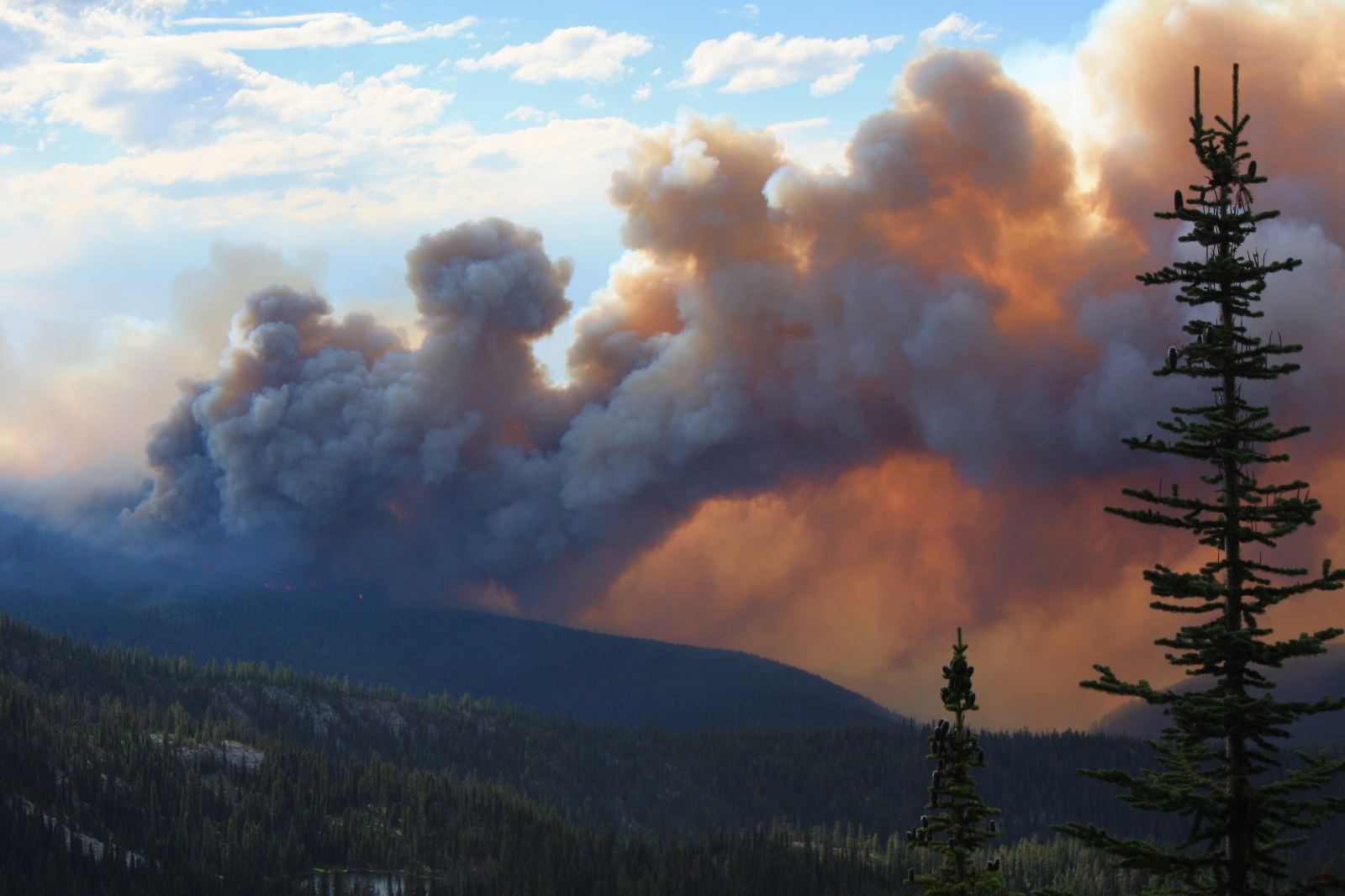
We felt a little better once Friday Ridge was between us and the fire, but we continued our fast pace until we reached Swamp Lake. Here we stopped for a breather, but just a brief one. The fire was still on the other side of the ridge, but the whole area was filling with smoke. We knew we were out of immediate danger, but we still hustled it back to the trailhead at a rapid clip.
As we climbed out of Kooskooskia Meadows and came within sight of the trailhead, we could see a Forest Service truck with lights on. As we approached I hollered, “we’re sure glad to see you!” He exchanged the same greeting and asked if we had seen the owners of the truck and horse trailer. We told them we had not and then I inquired about the fire. It seems this had been a lightning strike two weeks prior and had been smoldering the whole time without any significant activity. Since the fire was in the wilderness, it was being allowed to burn itself out. As soon as the winds picked up, they had sent planes up to survey the situation and personnel out to get hikers and horseman off the trails.
What a hike! I had checked off a big bucket list item and we had much more of an adrenaline rush that we had anticipated. We made the nearly hour long drive down to Lochsa Lodge where we had a couple burgers before beginning the long drive home.
Directions to Kooskooskia Meadows Trailhead: Follow US-12 to its junction with the well-signed Elk Summit Road (43 miles west of Lolo, Montana or 67 miles east of Lowell, Idaho). Coming from Lowell, Idaho, turn right onto Elk Summit Road. Follow this wide, washboard road to where it crosses Colt Killed and Crooked Creek and splits. Follow Forest Road 111 a few miles to a split. Take a right here and follow single lane Forest Road 360 up and over Savage Pass. At 15 miles from US-12, turn right onto Kooskooskia Meadows Road #358 which is a single lane and moderately rough road which leads 2.2 miles to the trailhead. Parking is available for approximately half a dozen vehicles.
Over Fourth of July weekend in 1980, I hiked from that little divide between the Walton lakes on the southeast and Tom Beal park on the northeast. I went almost directly south along the ridgeline and camped just short of Grave Peak. The next morning I angled downslope to Colt Lake, went around Colt Lake, climbed the ridgeline on the south side of Grave Peak to the summit, and then went north along the ridgeline back to my campsite. The next day I hiked back to my starting point and got a ride down to Powell Ranger Station, my duty station. I was 28 years old then and alone for a whole day and it was one of the best days of my entire life.
Hello Matthew-
Thanks for stopping by and for the nice recollection. What a hike that must have been. It is some amazing country and I bet you had some fantastic solitude! How long did you work out of Powell and what did you do?
Happy trails,
Lusha
…speechless…