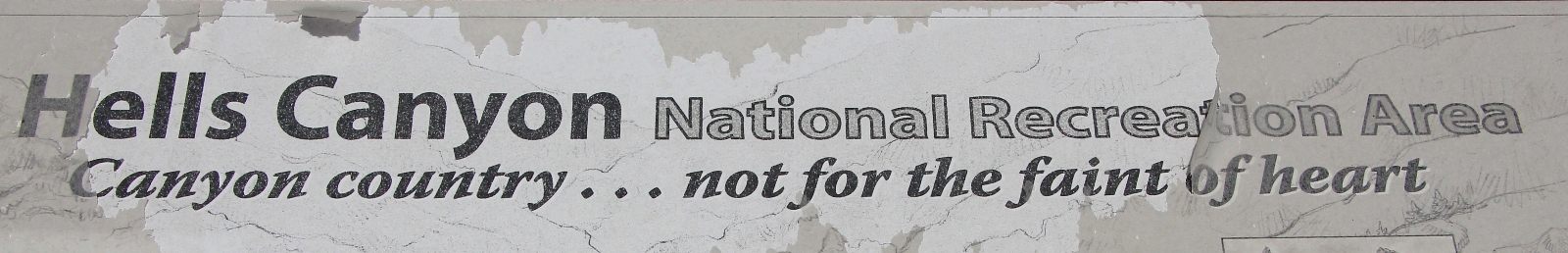
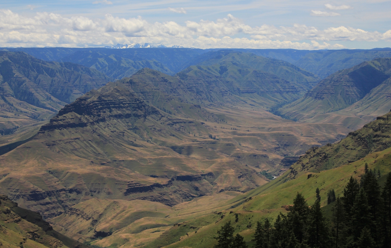
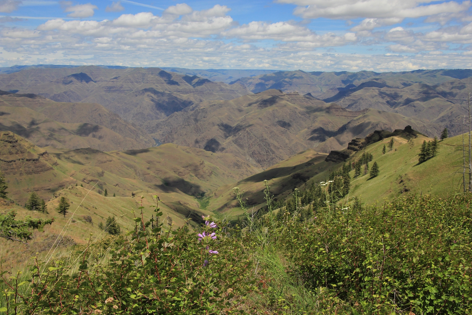
Fantastic views down into Hells Canyon and the Imnaha River from near Buckhorn Lookout in NE Oregon
Distance: 5.0 miles for the route described here, longer options available
Type: out and back
Difficulty: moderate, descending 1,200′ over 2.5 miles.
Best Season: May – June or September – October
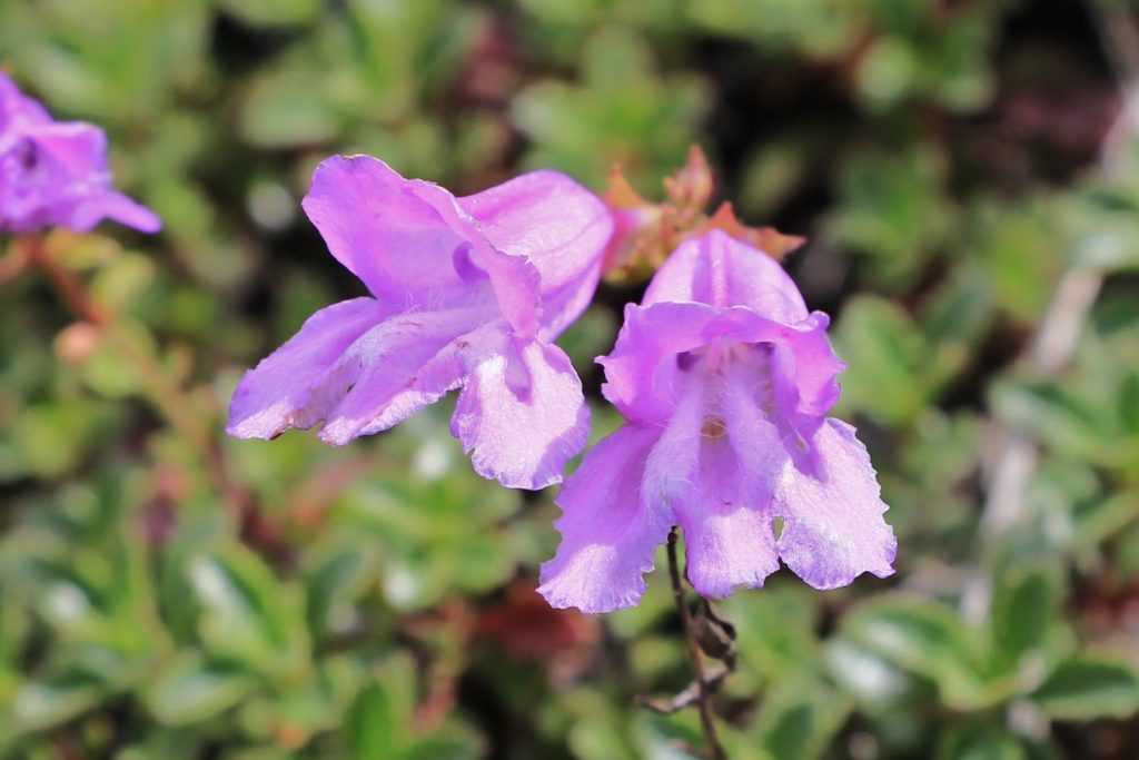
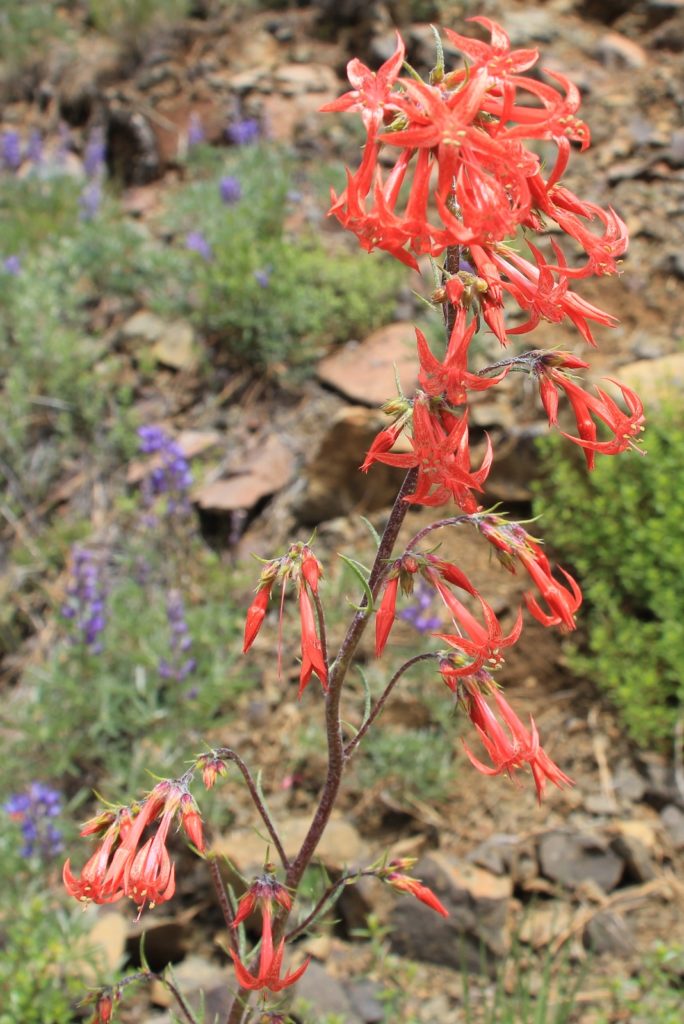
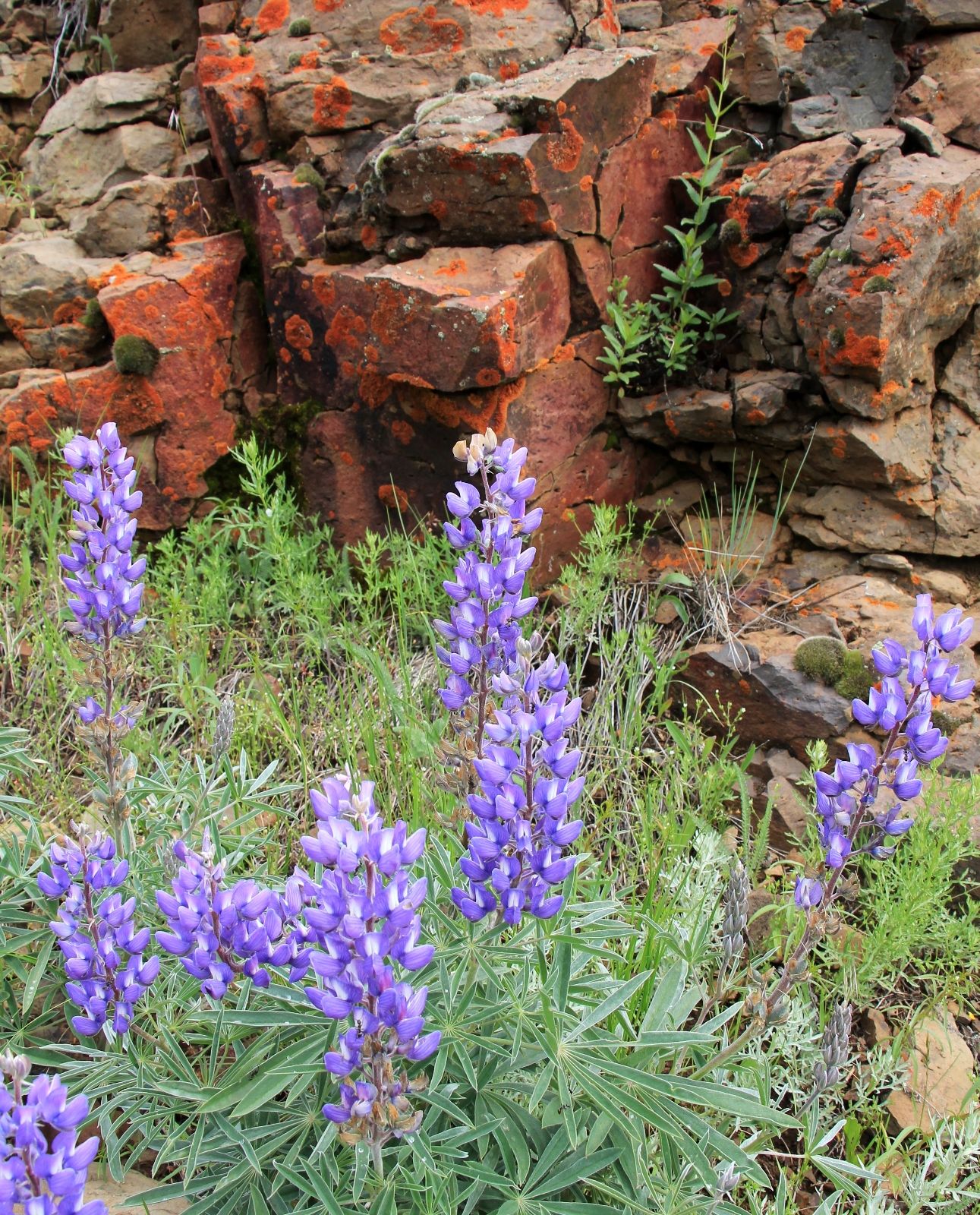
With lingering snow in the mountains and rising summer temperatures in the valleys, mid-June had us seeking some good mid-elevation hiking opportunities. After our backpack down the Imnaha River to Eureka Bar in Hells Canyon, I was curious about the trail from Buckhorn Lookout down to Eureka Bar. We visited Buckhorn on a long ATV ride back in 2010 and I had fond memories of the spring wildflowers and impressive views.
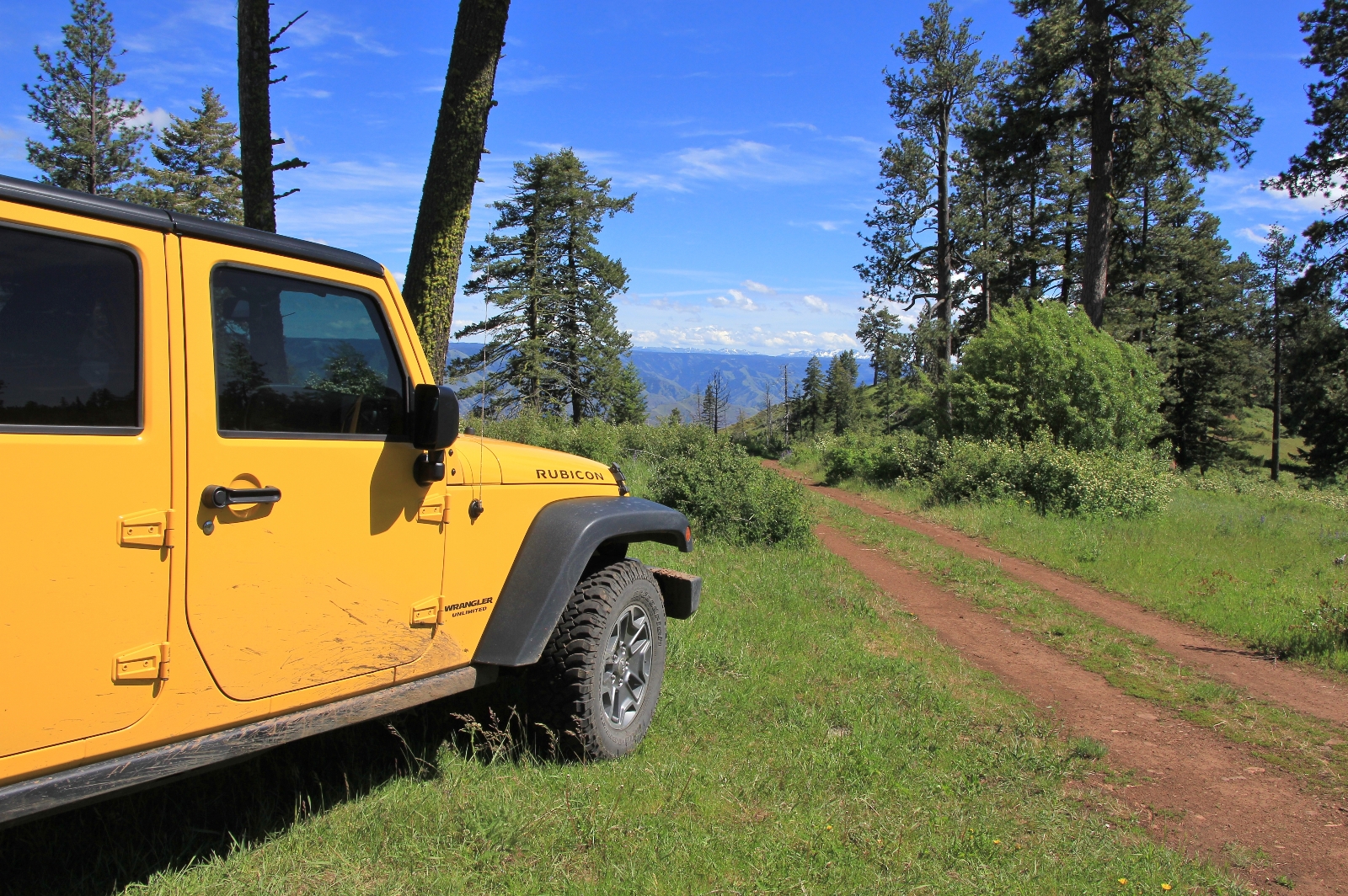
For those in passenger vehicles, I recommend beginning your hike at Buckhorn Lookout. You should make it to the lookout fine provided there is no lingering snow. Those with a high clearance vehicle can proceed 1.2 miles past the lookout to the end of the road, which is what we did. There we found only one other car, ample parking, and a great at-large campsite with phenomenal views of the Imnaha River breaks and snow covered Wallowa Mountains in the distance.
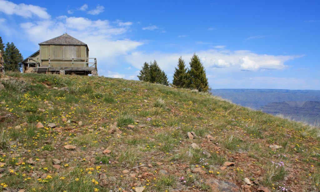
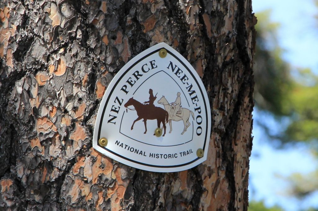
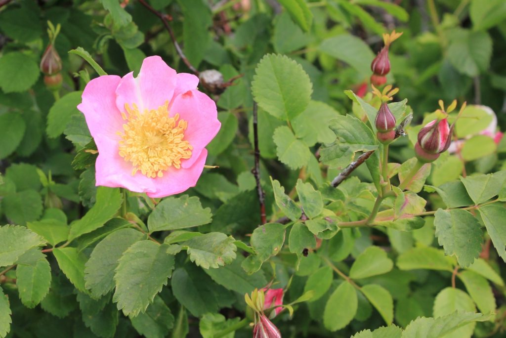
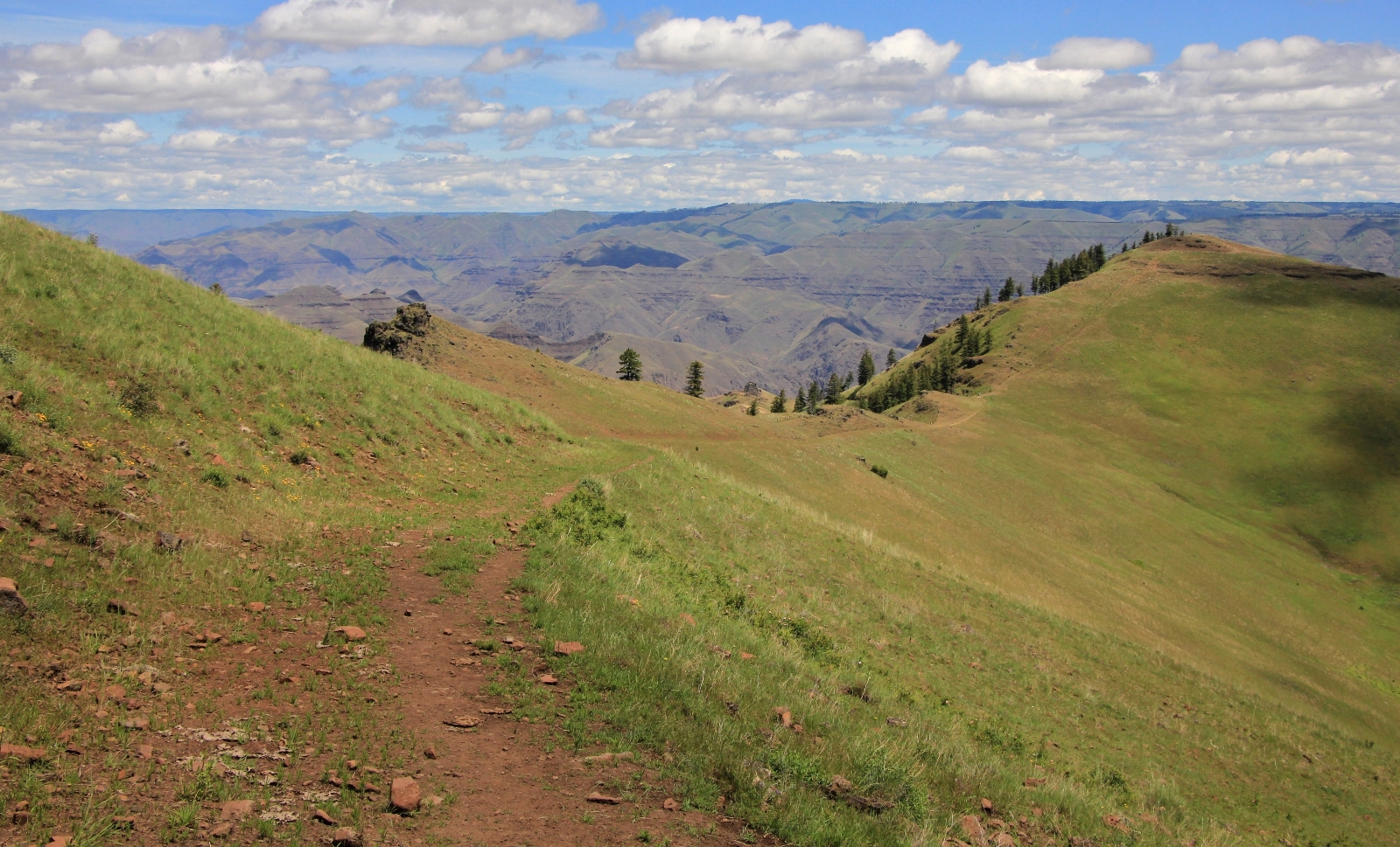
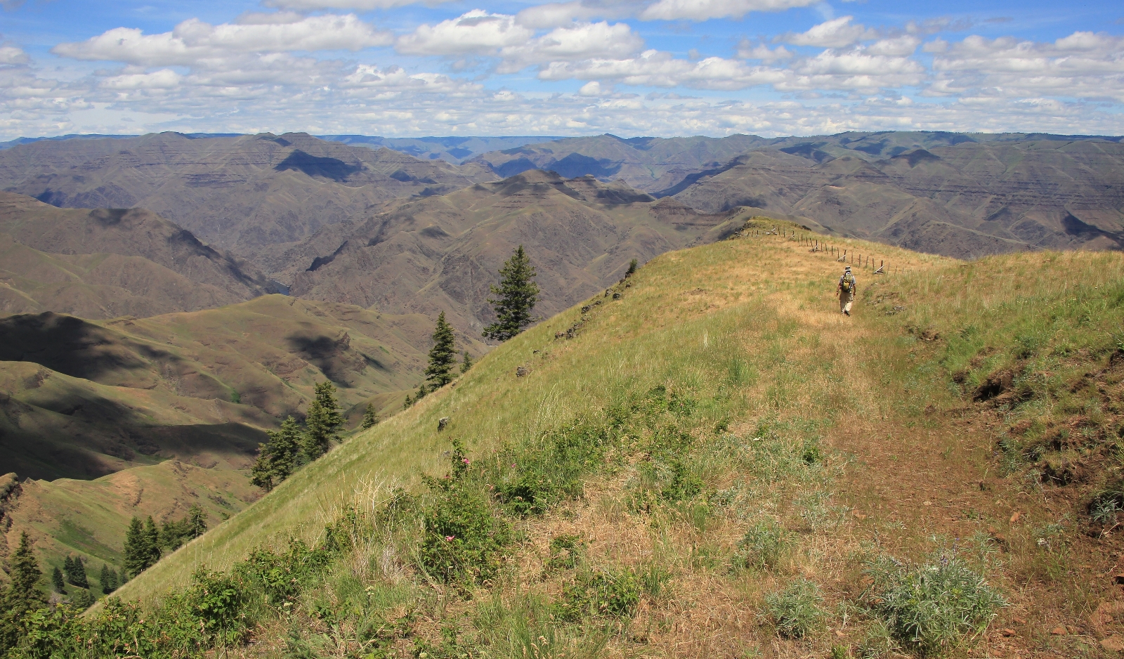
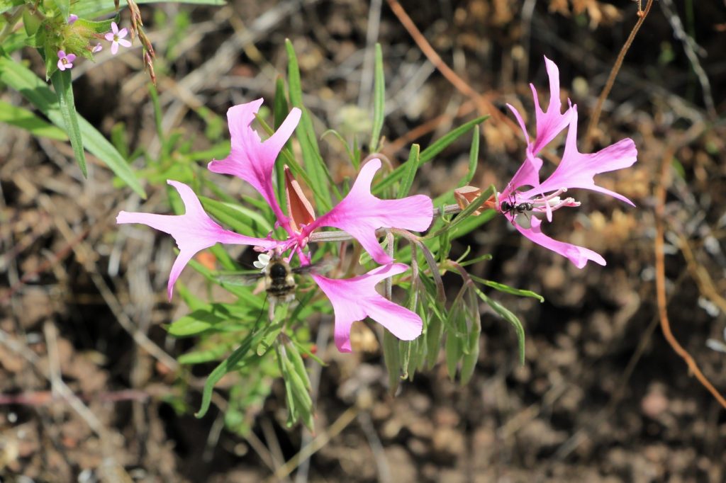
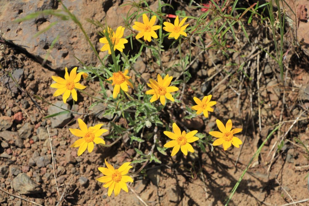
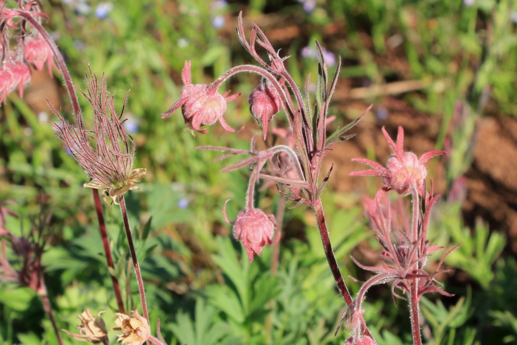
The trail begins at the far end of the parking lot on the left hand side (elevation 5,219′). Passing through a gate, you continue on the old single track road which has been closed to traffic for years. Native grasses, wildflowers, and rocks are reclaiming what was once theirs. In places, the old road is beginning to resemble a true trail. Soon it will reminiscent of what the Nez Perce Indians saw when they traveled this route.
Prior to beginning our hike, we took a few minutes to throw up camp. It was an impressive location and we didn’t want to risk losing it. Then we grabbed our gear and proceeded to the far end of the trailhead. Passing through a gate, we descended gently through green grasses and wildflowers in peak bloom. We continued half a mile to a split in the old road where we turned to the right.
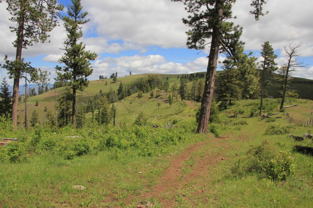
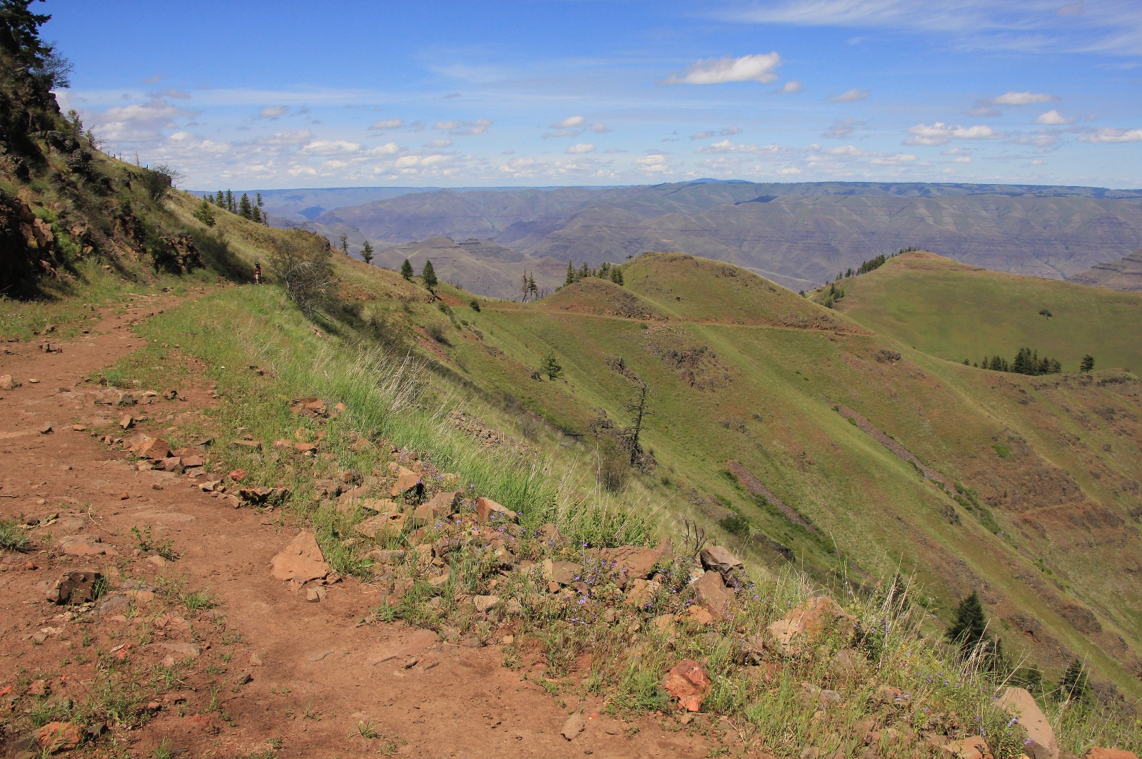
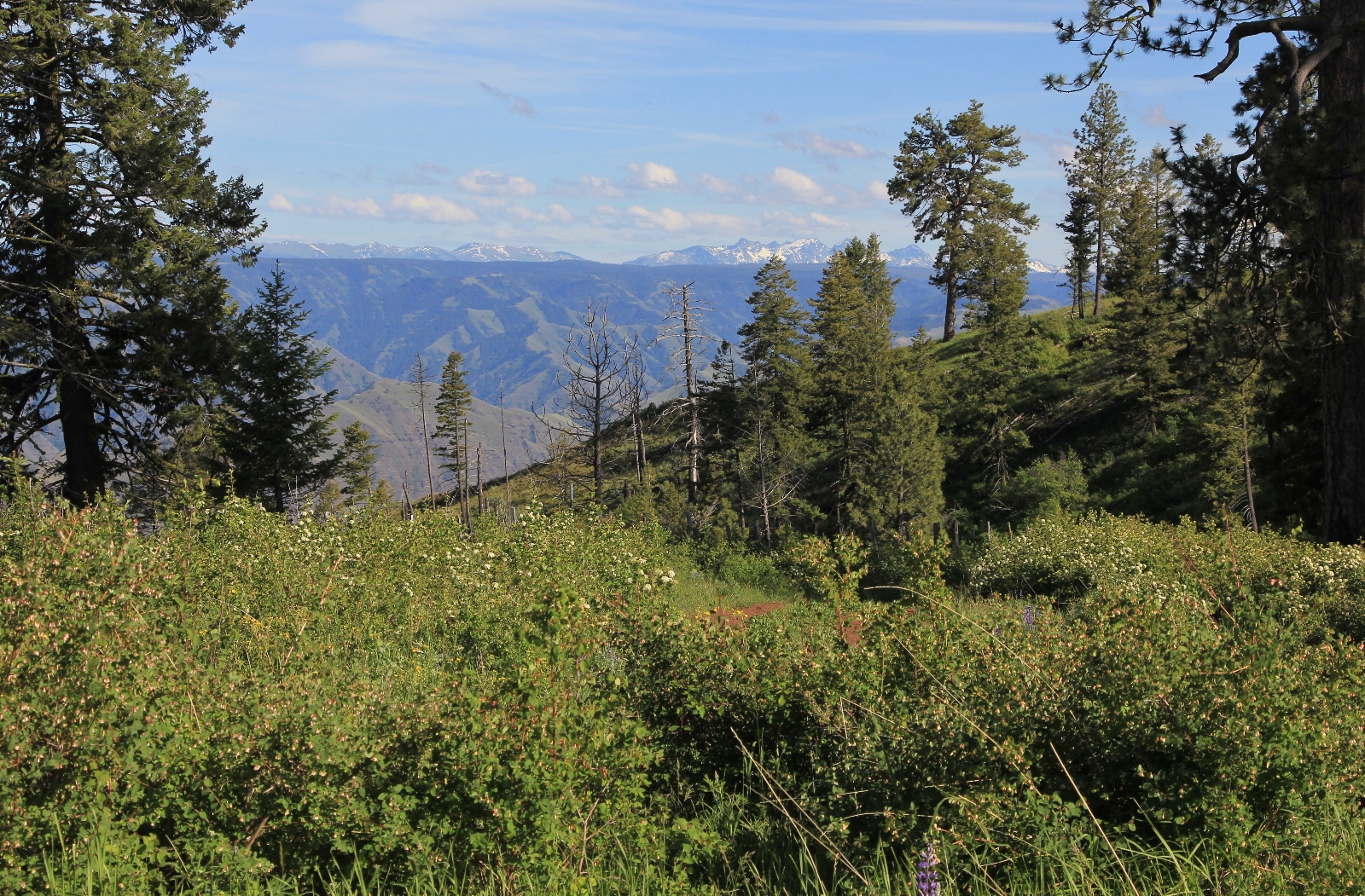
We enjoyed far reaching views of the Imnaha River Canyon and Wallowa Mountains to the southwest.
The descent steepened over the next mile and a half as we made our way to Spain Saddle at 4,340′ elevation.
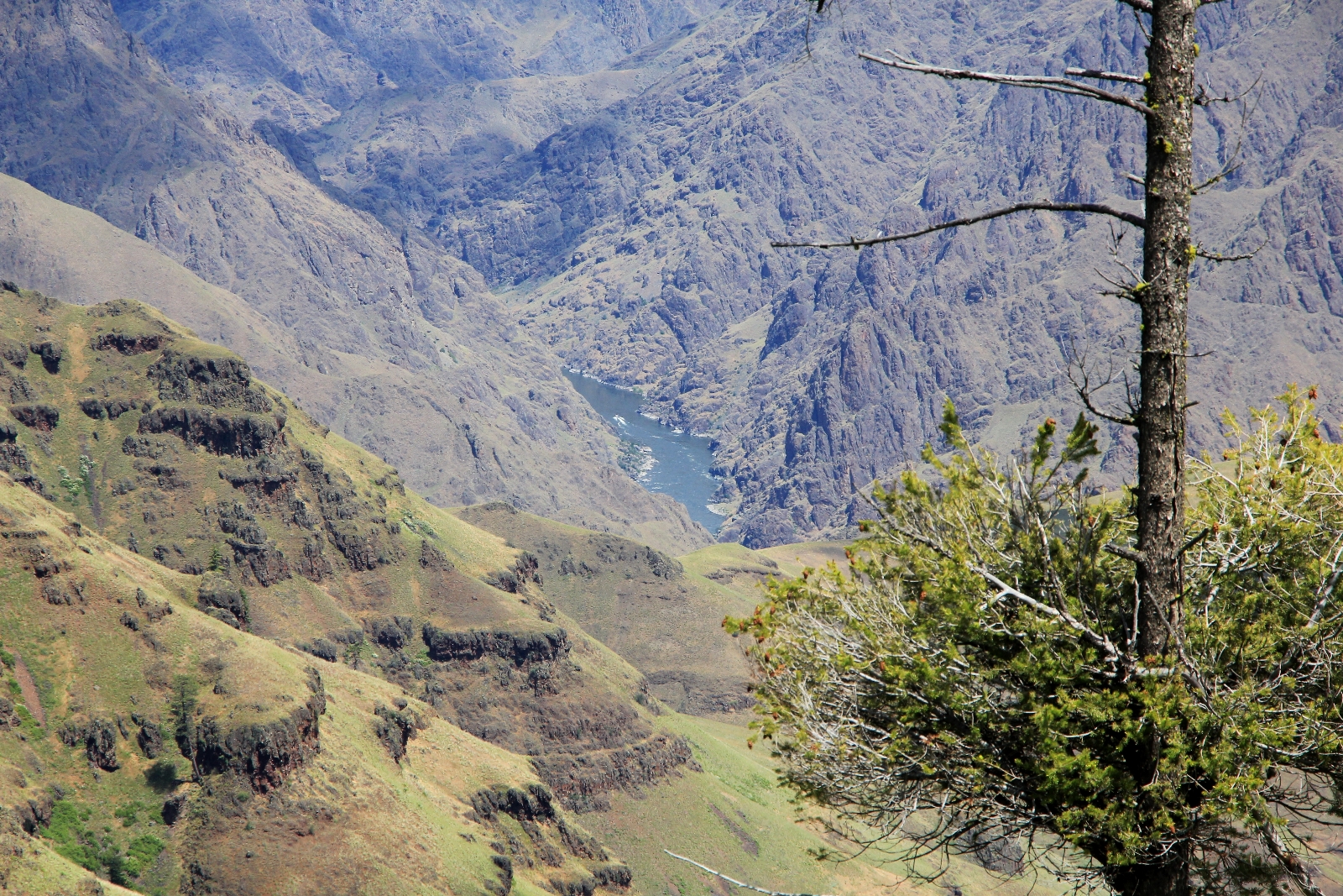
At Spain Saddle, views of Hells Canyon opened up to the north and we gazed down into North America’s deepest river gorge. On the other side of the canyon was Idaho. Thirty five hundred feet below us, the mighty Snake River passed by Eureka Bar where we had camped the previous spring. Even with a long zoom, the river looked tiny from this far up.
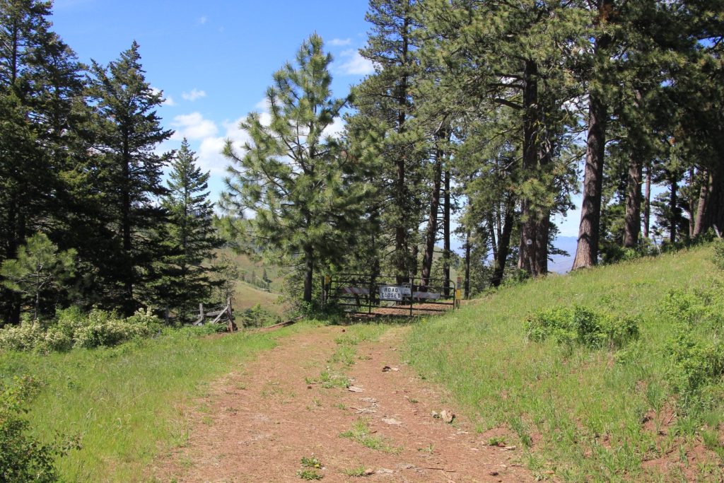
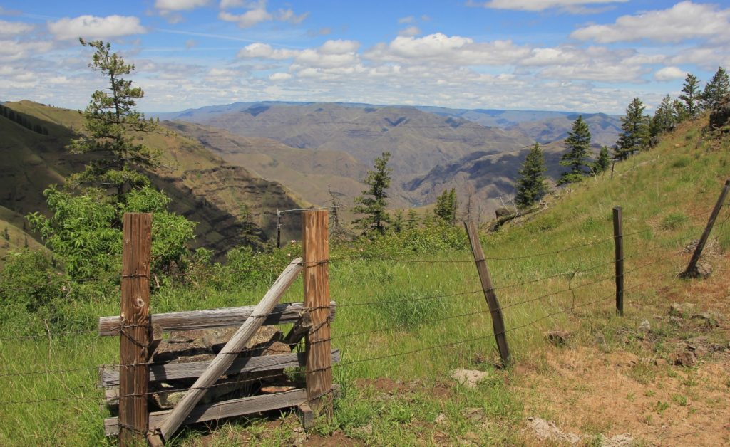
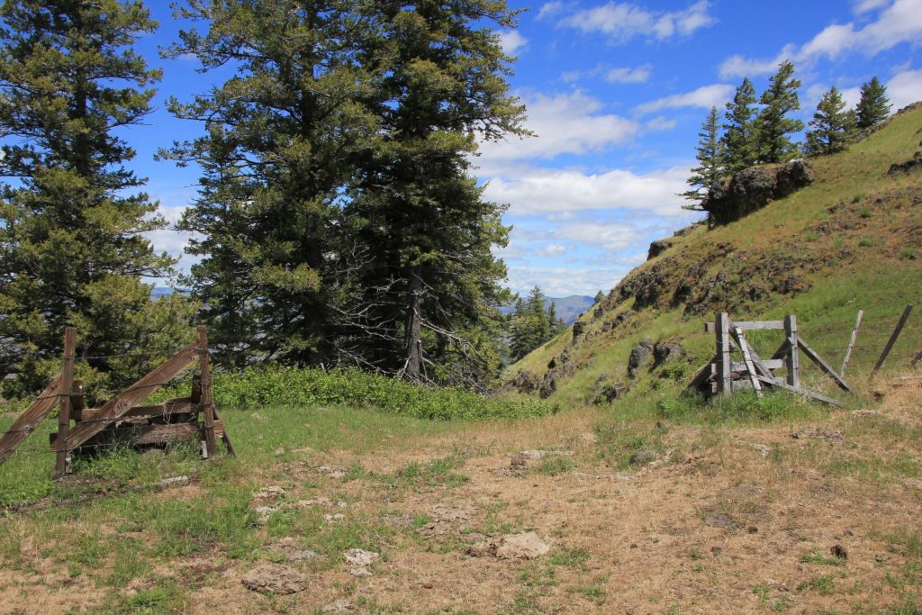
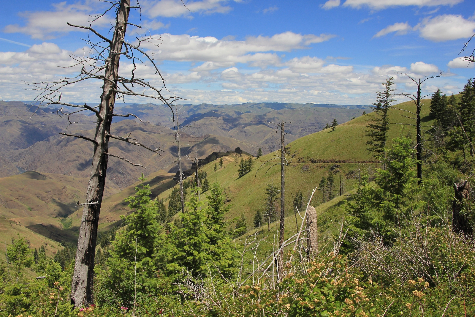
Continuing past Spain Saddle, we went through another gate and continued down into Hells Canyon.
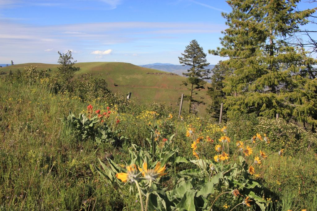
Views down into Hells Canyon continued to improve as we dropped. I marveled at the beautiful day—the comfortable late spring temperatures, the green hillsides, and the wildflowers in bloom. Conditions like this don’t last long in Hells Canyon where temperatures typically soar to triple digits by June.
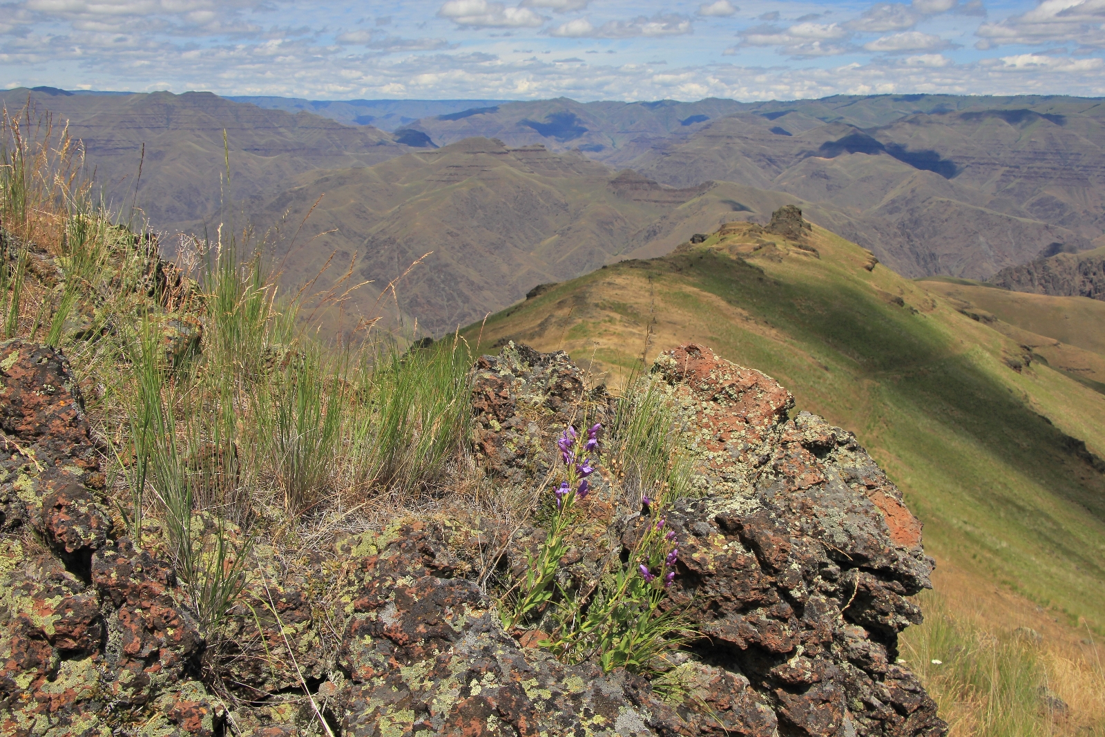
Continuing another 0.6 miles and 240′ down, we came to another fence and viewpoint. We had planned to drop another mile down to Eureka Viewpoint, but decided that some extra time back at our beautiful campsite sounded better. We enjoyed the views and a snack break before returning 2.5 miles and 1,200′ back up to our campsite.
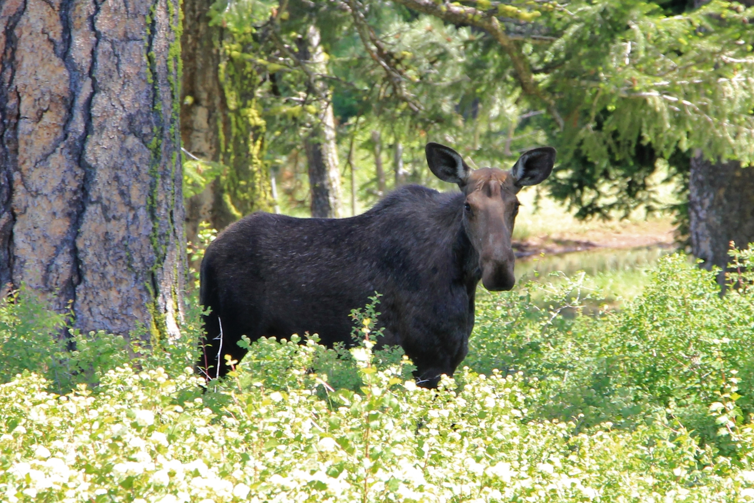
Back at camp, we settled into our chairs and enjoyed the views and late spring day. Conditions didn’t get any better than this! I grabbed my camera and walked to the top of a small rise behind camp to capture the scene. As I was shooting, something caught my eye—there was something moving in the shadows just past camp. I watched for a few seconds and realized it was the ears of a cow moose twitching with curiosity at the sight of two humans in her path. After a few minutes, she continued on, seemingly unconcerned with our presence. What a perfect exclamation point on the day.

Directions to trailhead: from Enterprise, Oregon, travel east on Highway 82 3.2 miles and turn left on Cow Creek Road. Travel 1.1 miles to a fork and stay right on Cow Creek Road. After 3.9 miles, come to another fork and continue right on Zumwalt Road. This road is paved for 2.4 miles and then transitions to good gravel road for 30 miles across the Zumwalt Prairie to a sign for Buckhorn Lookout. Turn right onto Road 780. Continue straight to the large and obvious Buckhorn Lookout parking area. Low clearance vehicles should park here. High clearance vehicles can continue another 1.2 miles to the end of Road 780′.
Great story and photos – thank you for sharing.
I cannot believe you saw a moose there! That is impressive! Excellent photos and write up. I’ve been there a bunch but have not hiked around much. I’ve hiked other off shoots of the canyon so exploring this area will be nice.
Hi Julie,
Thank you for the kind words and yes, we were very surprised to see a moose there! She was a fun and unexpected surprise. Such a beautiful and peaceful area. We don’t get up to that area very often despite how close it is for us. We’d love any suggestions you’d be willing to pass along 🙂
Happy trails,
Lusha
I hiked down to Eureka Viewpoint and back yesterday. A few things have changed. Road 780 to where the “closed road” sign is had uprooted, fallen trees blocking it in two places. I had parked at the Overlook because 780 had mud and ruts visible from the turn-off. That was lucky. I don’t know how I could have turned around. Early in the trail there was another uprooted fallen tree blocking the way. People had gotten around it by going up to the side, very narrow, and then straight down back to the former roadbed. Down at Eureka Viewpoint, it is hard to see any trail up from the roadbed. I went past it, walked to the next bend, where there’s still another gate, and then backtracked, scrambling up at a point further down from where people scramble. This was difficult, but when I walked back, I saw that one of the routes people seem to have taken was right next to a sheer vertical plunge. On my ascent, looking back, I saw that that was actually a rock overhang. This was tough going down as well as back up.
Hi Jim-
Thanks for the update. Sounds like you had quite the adventure!
Happy Trails,
Lusha