Great stream hike along the upper Imnaha River in Oregon’s Eagle Cap Wilderness
Distance: 6.0 miles round trip as described here (4.0 miles round trip to Blue Hole, 11.5 miles round trip to Imnaha Falls)
Type: out and back
Difficulty: rocky tread beyond Blue Hole, but otherwise easy with minimal elevation gain
Best season: late spring – early fall
After a very windy night on the ridge near Buckhorn Lookout, we packed up camp at first light and decided to make the long drive down to Joseph and around Hells Canyon Scenic Byway to the upper reaches of the Imnaha River. We’d had great views of the Imnaha breaks on our hike the previous day and our Imnaha River to Hells Canyon backpack the previous spring was one of my favorite packs we’ve done. I expected the upper Imnaha to be of different character, but just as stunning.
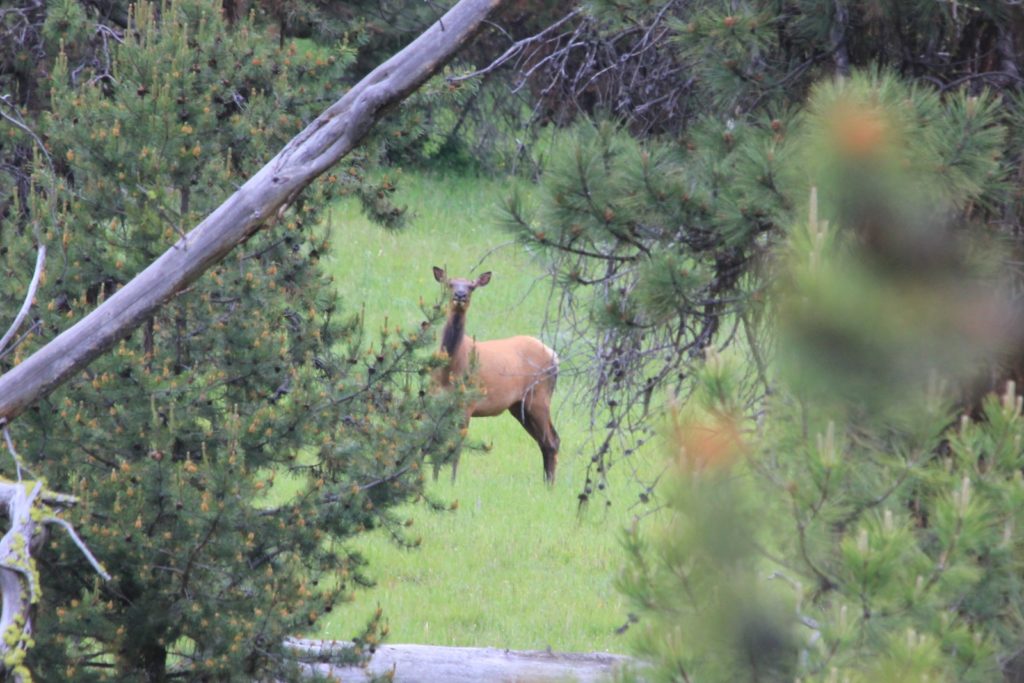
The early morning drive down from Buckhorn made for great wildlife viewing. We saw two herds of elk. They had babies with them, so we kept our distance.
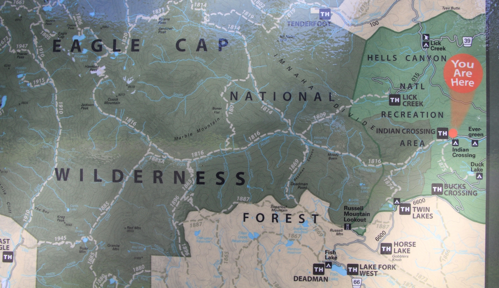
Trail 1816 along the upper Imnaha River begins at Indian Crossing Campground (elevation 4,633′) at the end of road 3960. We easily found the large trailhead parking lot and noted that we needed a Northwest Forest Pass (most trailheads around the Eagle Cap require one).
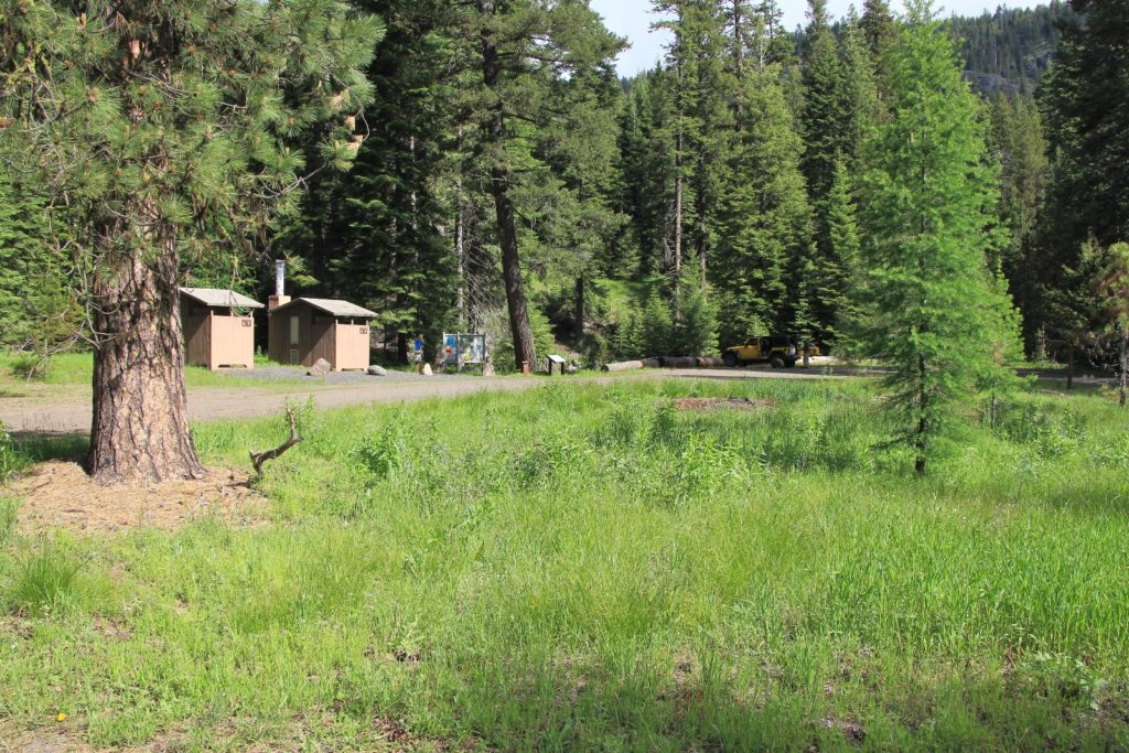
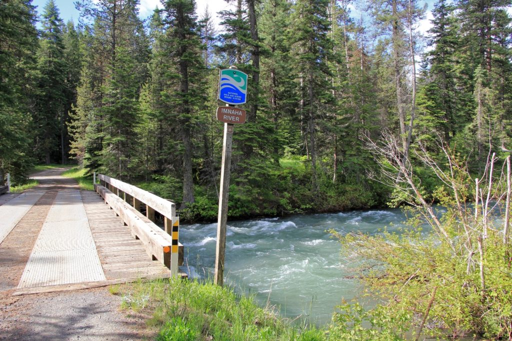
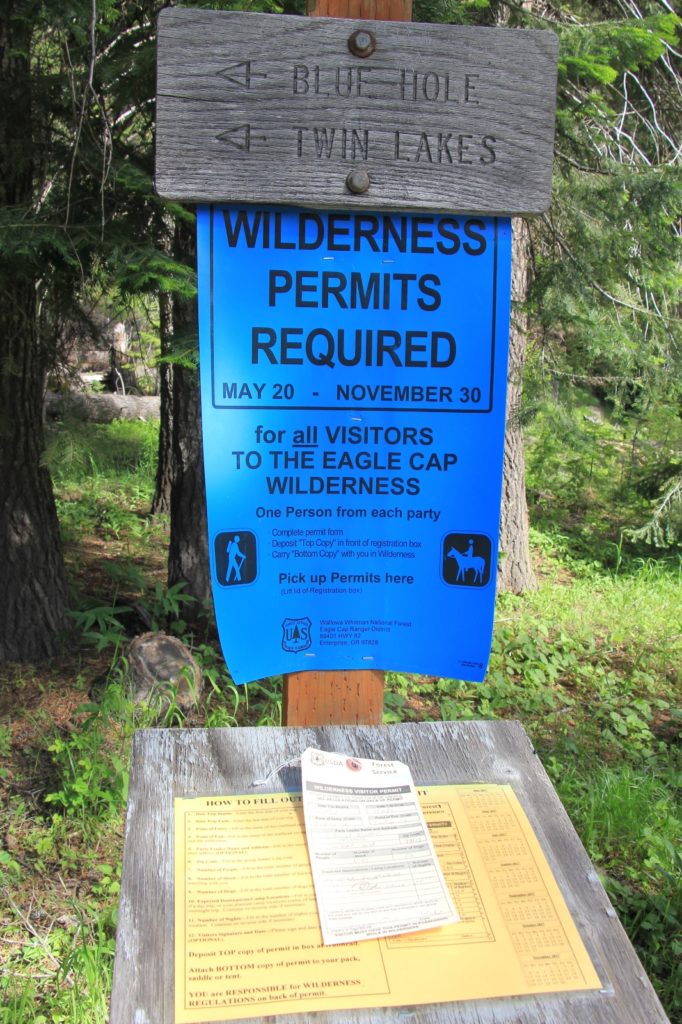
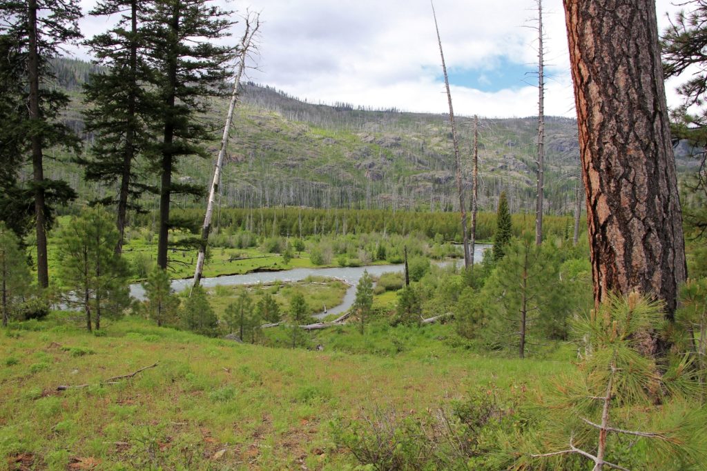
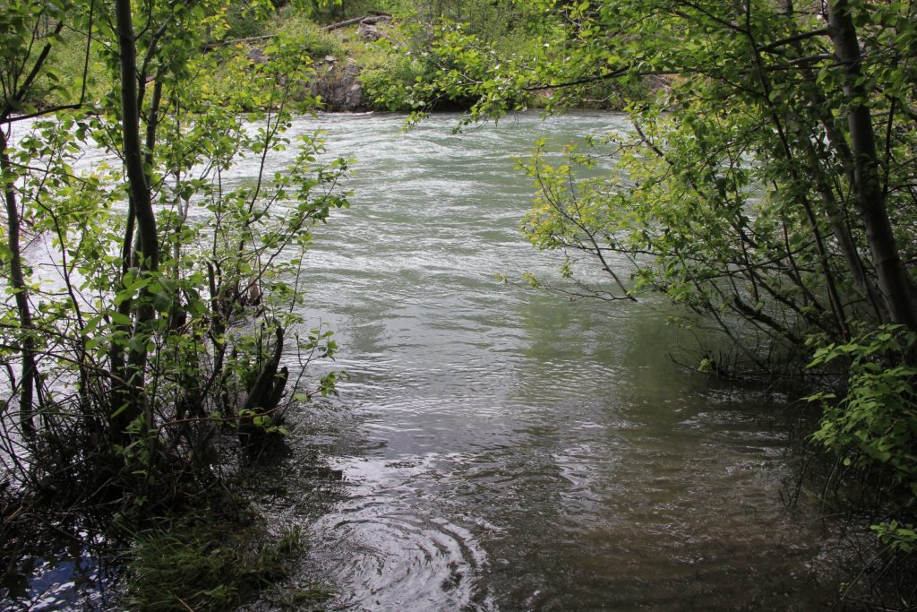
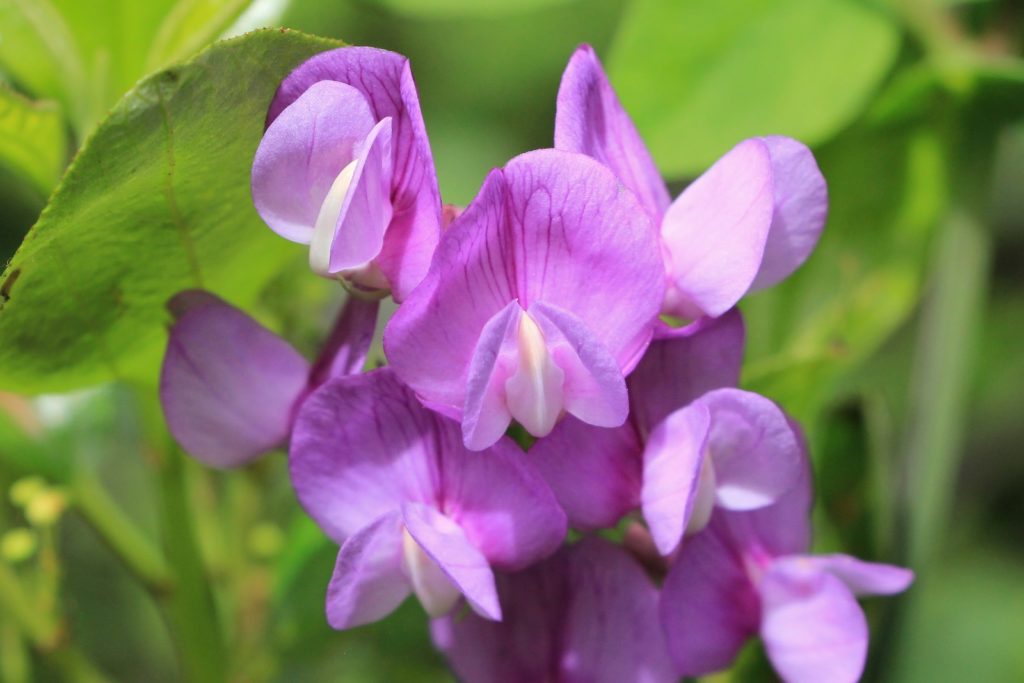
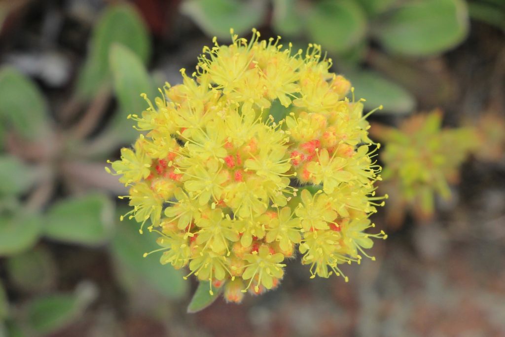
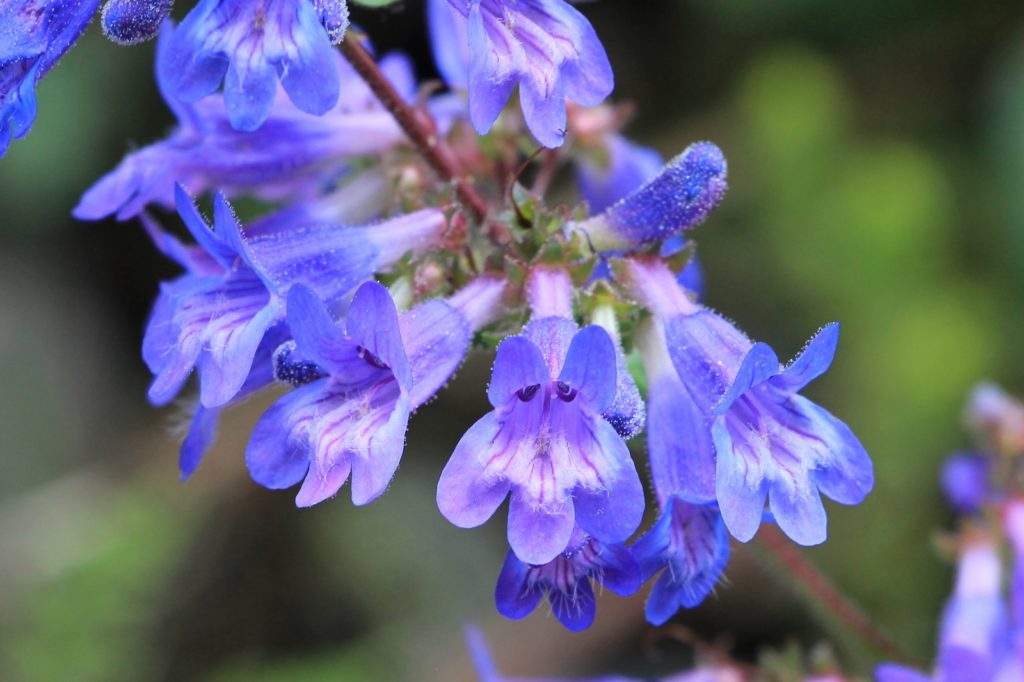
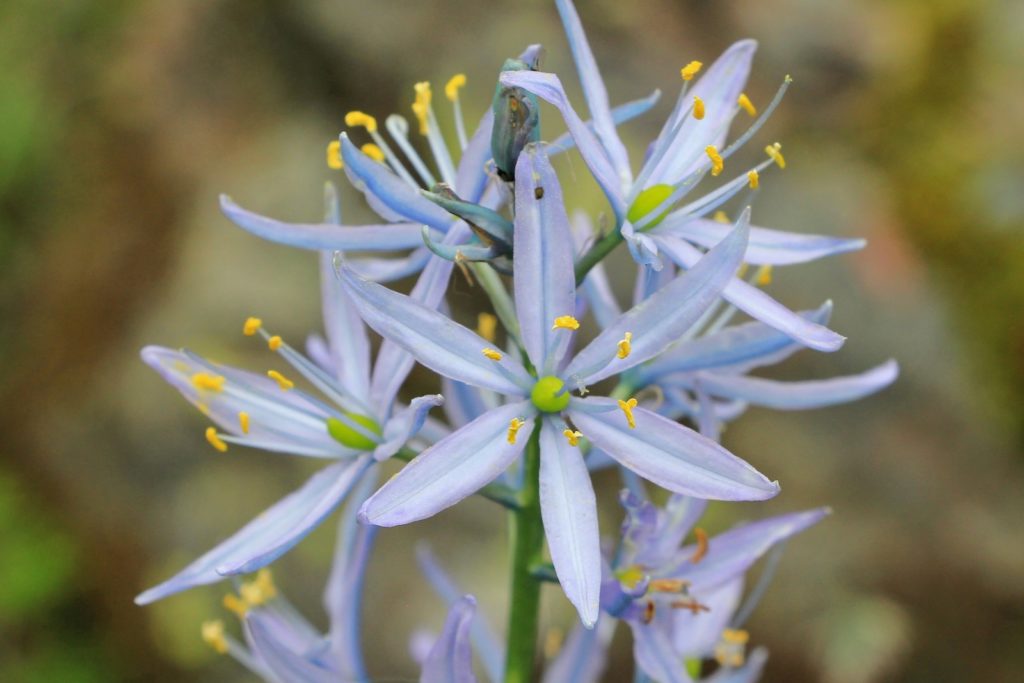
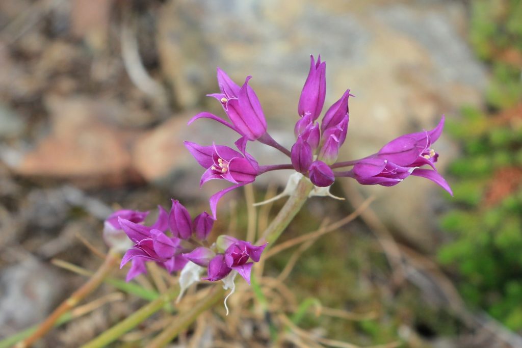
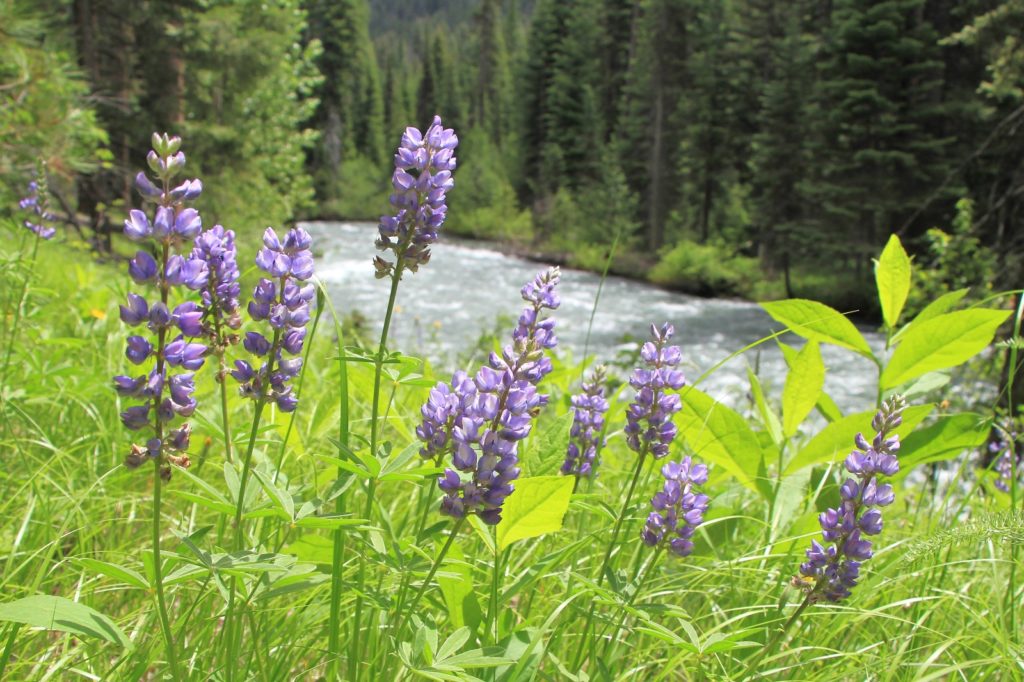
After security our free wilderness permit, we started our hike at 9:00 under mostly sunny skies and mild temperatures. The first mile of trail followed the Imnaha through lush green forest with lots of colorful wildflowers in bloom. The tread was soft dirt here and the going was easy. This stretch of the river is typically a quiet little stream later in the summer, but we found it swollen with snow melt after a big snow year.
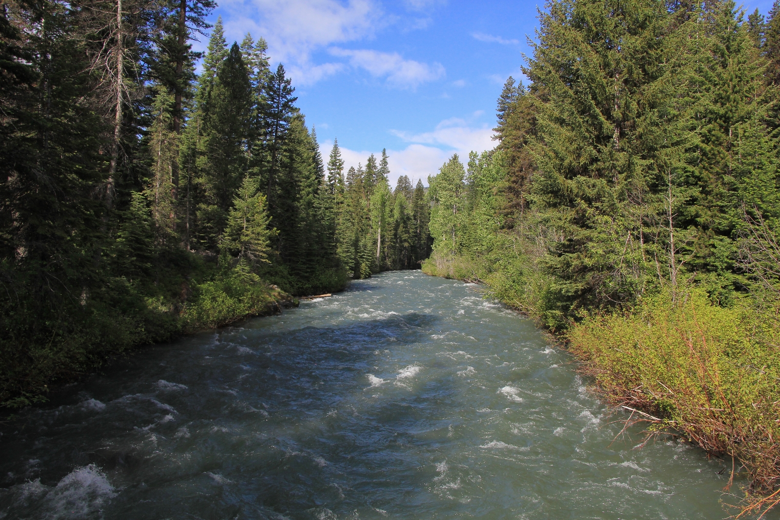
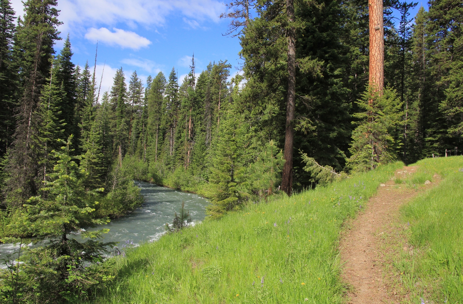
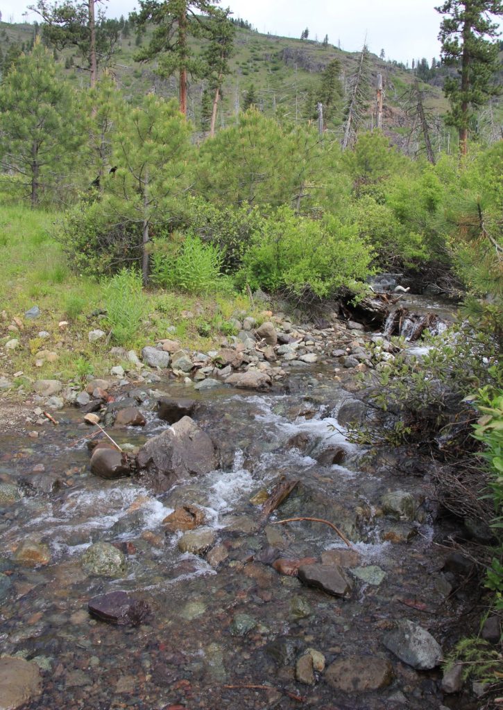
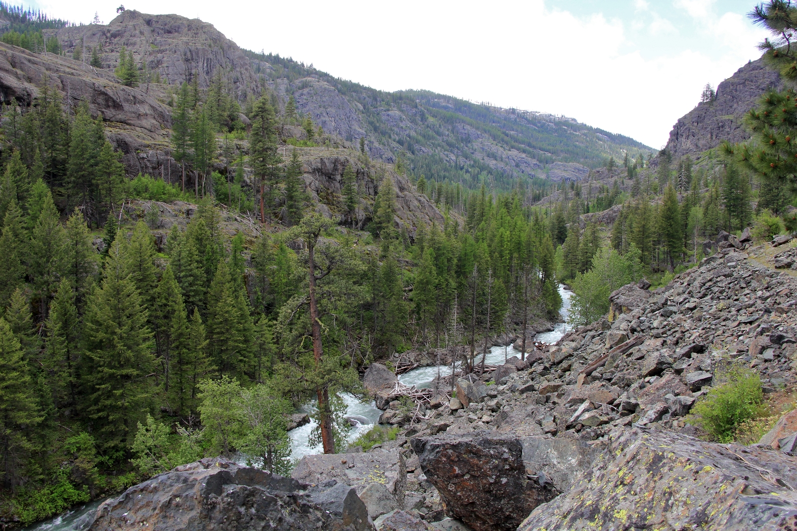
After about a mile, we entered an area of forest that burned in 1996. While the forest wasn’t as pretty here, we got better views of the river and new trees are filling in proving nature knows best when it comes to forest management. We had a few stream crossings, but we were able to rock hop all of them. As we hiked, the clouds rolled in and we had mostly cloudy conditions for the rest of the hike.
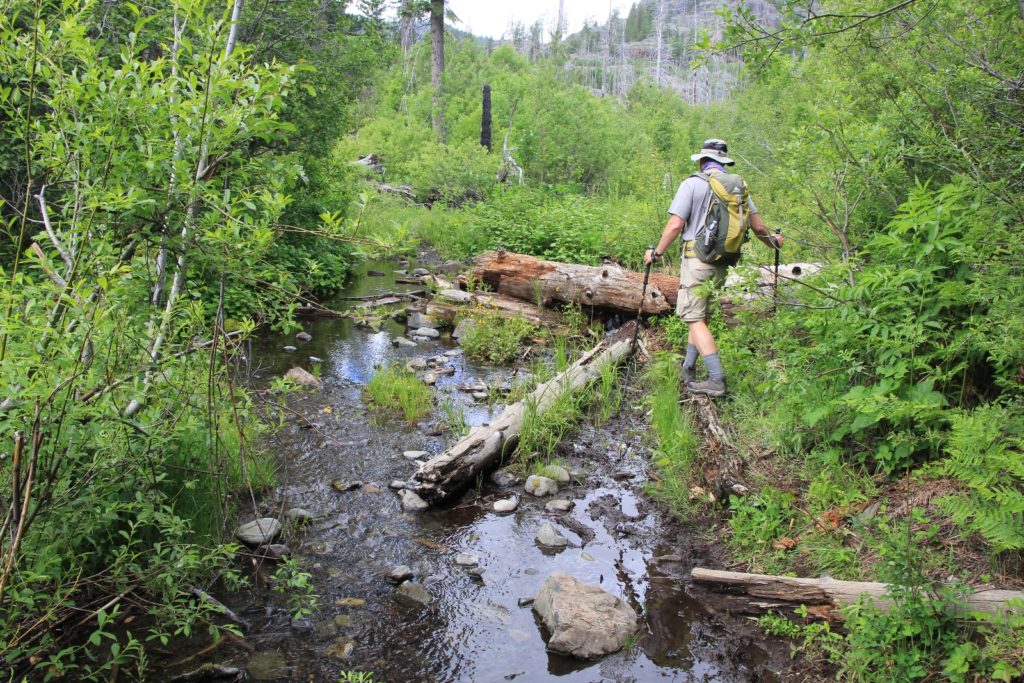
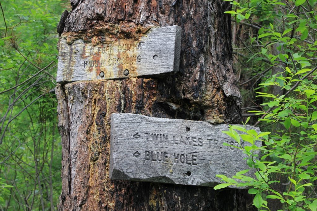
At about two miles in we came to a trail split. We followed the sign to the left for Twin Lakes and Blue Hole. A short distance later we came to the river. The trail to Twin Lakes crosses here, but there is no way you’d make the river crossing without a swim during high snow runoff such as we saw.
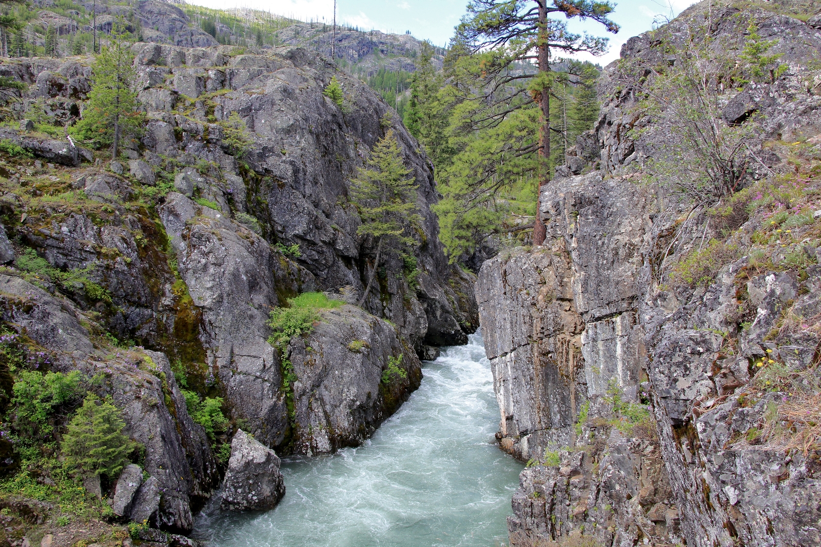
Just above the river crossing was Blue Hole, a place where the Imnaha is squeezed by a 50 foot wide rock gorge. We climbed up on some rocks and got a little better perspective. I’d love to go back sometime when I could wade half way cross the river and shoot straight up the canyon.
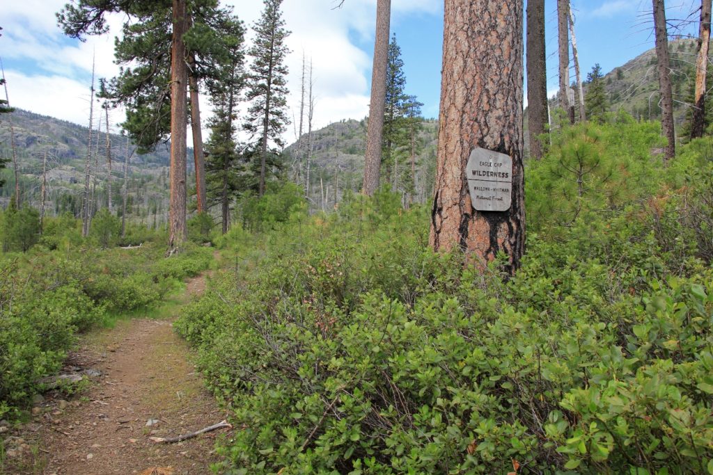
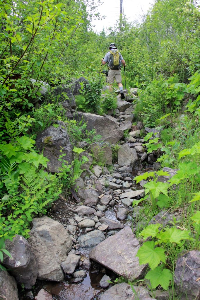
We hiked back to the main trail and continued upstream. Immediately the trail turned rockier and at times we felt more like we were hiking up a creek bed than a trail. We left the river and began climbing, our pace slowing significantly.
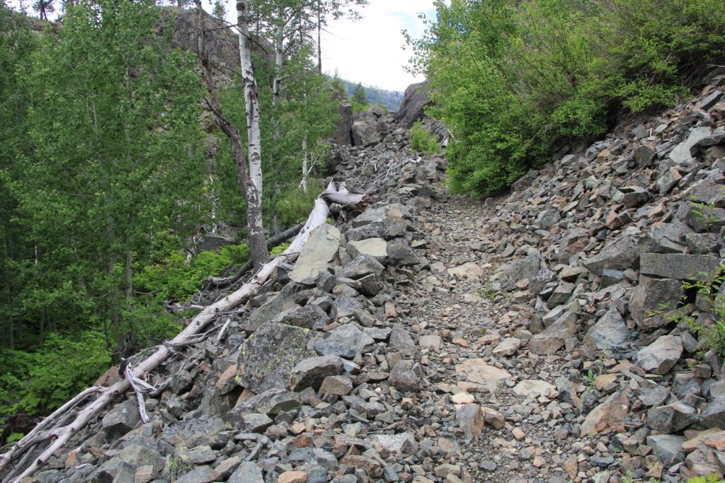
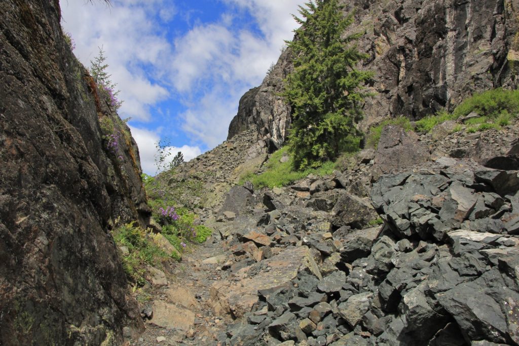
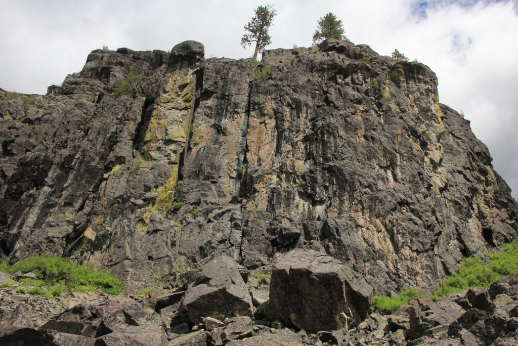
As we climbed, we entered an area of aspen trees that I’m guessing is quite gorgeous in October. It wasn’t long before we were within sight of the river again, its character suddenly quite different. Instead of a wooded walk alongside the river, we were up high in a rocky gorge. The canyon felt rugged and wild—exactly what we’ve come to love and expect from the Eagle Cap Wilderness.
It was only mid-day, and we’d only hiked three miles in, but it would be a long drive back home and we had to be back by early evening. Reluctantly, we turned around with hopes of returning to the area for a backpack to Imnaha Falls or beyond in the next year or two. I’m guessing the canyon only gets more rugged and impressive as you continue into the wilderness.
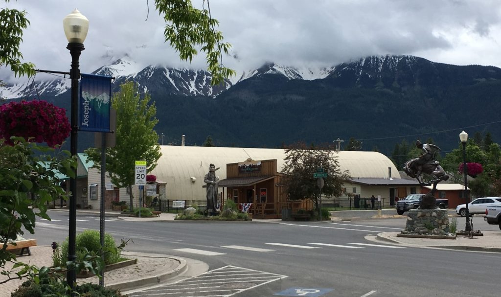
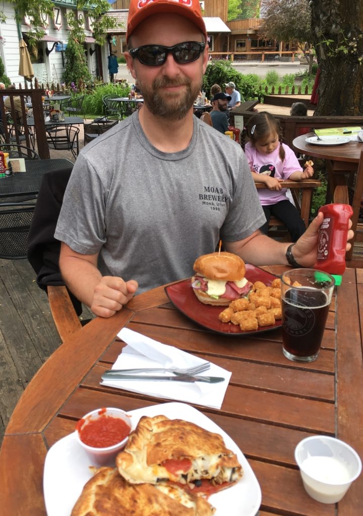
It was an hour and fifteen minute drive from the trailhead back to Joseph where we headed straight to Embers Brew Pub for a late lunch. Embers is our favorite stop when in the area. Jason had a pastrami sandwich and I had the mountain climber calzone. The place was packed, but we managed to get a seat outside with fantastic views of the Eagle Cap peaks towering above. They were still buried in snow and it would will be a while before we could get into the high country.
We didn’t get very many miles on our feet during this exploration trip, but we saw some beautiful country and added a new backpack to the bucket list.
Directions to trailhead: from downtown Joseph, travel east along the Hells Canyon Scenic Byway 8.3 miles and turn right onto Wallowa Mountain Road 39 for roughly 30 miles to the Imnaha River. Just past Blackhorse Campground, turn right onto road 3960. Follow this paved road nine miles to Indian Crossing Campground. Camp in the large parking area to the right just before crossing a bridge over the Imnaha River.
It’s hard to beat the Eagle Cap . Great bunch of photos and looks like this wasn’t an easy trail .
Rich
Lusha,
I’ve never been here so you just added to MY bucket list. I didn’t even know that there was a wilderness area in the area.
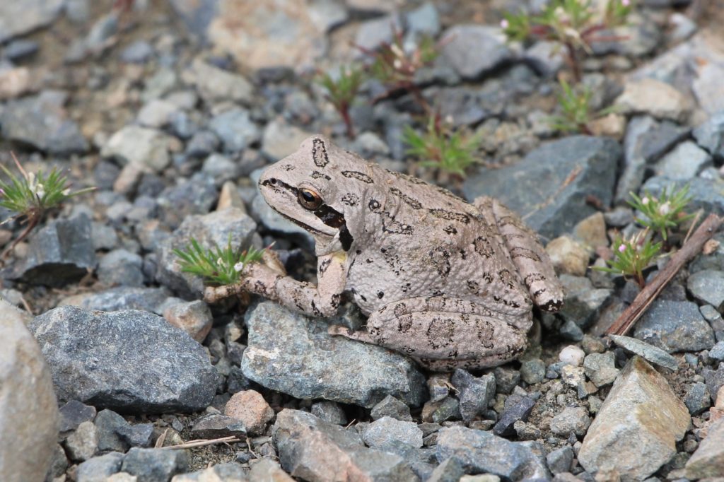
Beautiful photography. I especially appreciated the macro photos you took. It’s a wonder you even saw the frog.
I love your work Lusha!
Thank you Tom. This area is a bit of a drive from Joseph, but it is all paved road. We didn’t see anyone camped at Indian Crossing where the trail began. We also saw some nice at large spots the last several miles before the TH where you could camp for free. Later in the year, we camped at nearby Blackhorse Campground (you pass it on the way to Indian Crossing). I’m not big on designated campgrounds, but it was a very nice location with private spots right along the Imnaha. My only regret was that we only stopped long enough to sleep!
Happy trails!
Lusha
Hey Lusha, I’m looking to backpack starting from the west fork trail up to Hawkins Pass near the Imnaha Headwaters, take the south fork Imnaha trail all the way down to the Snake river. I am in love with the Imnaha river canyon and must explore it start to finish!!!
Hi Pattie,
Wow- your trip plans sound amazing! The sections of the Imnaha that we’ve hiked have been gorgeous- hoping to see more again this year. Please update me after your backpack. I’d love to hear details and see some photos!
Happy trails,
Lusha
Went to the blue hole it was beautiful!! Easy hike !! Next I want to go to the Twin Lakes .