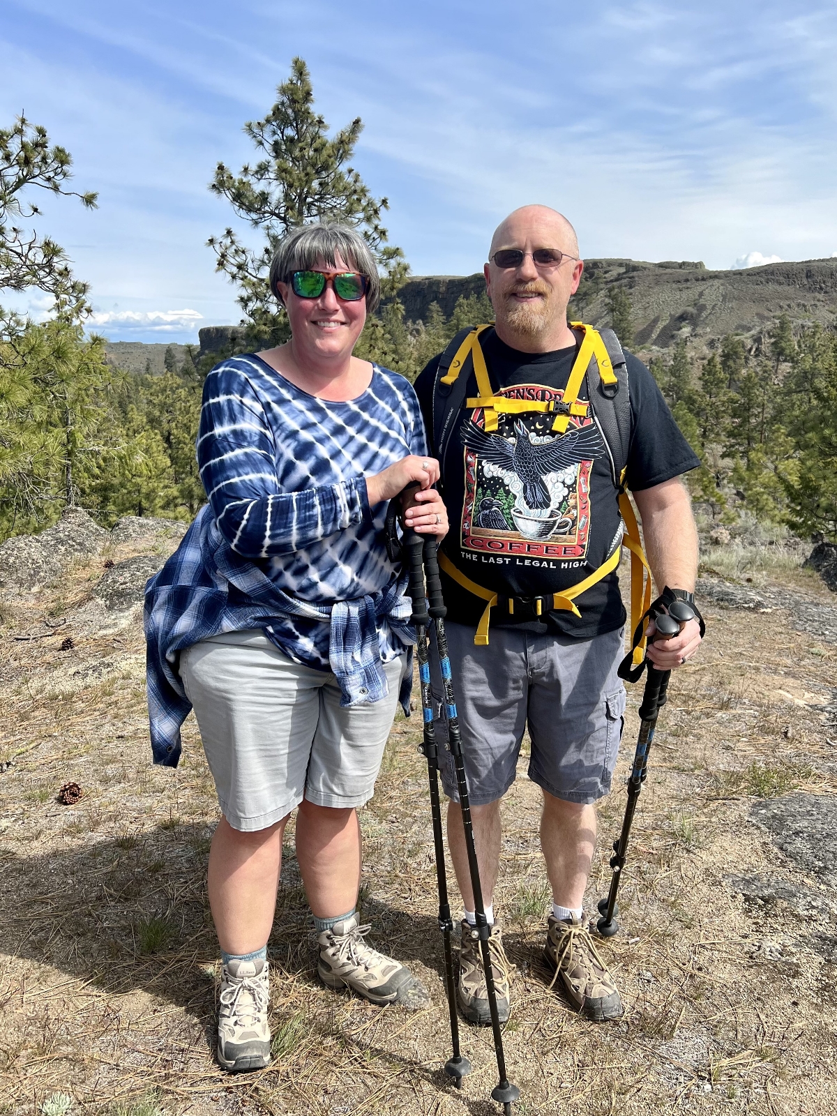
During our spring stay at Central Washington’s Steamboat Rock State Park, we enjoyed hiking two of the park’s trails and another at nearby Sun Lakes-Dry Falls State Park. The trails described here are all lightly traveled providing for a quiet hike. I encourage you to check them out if you find yourself in the area!
Steamboat Rock Hike
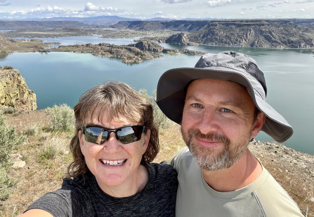
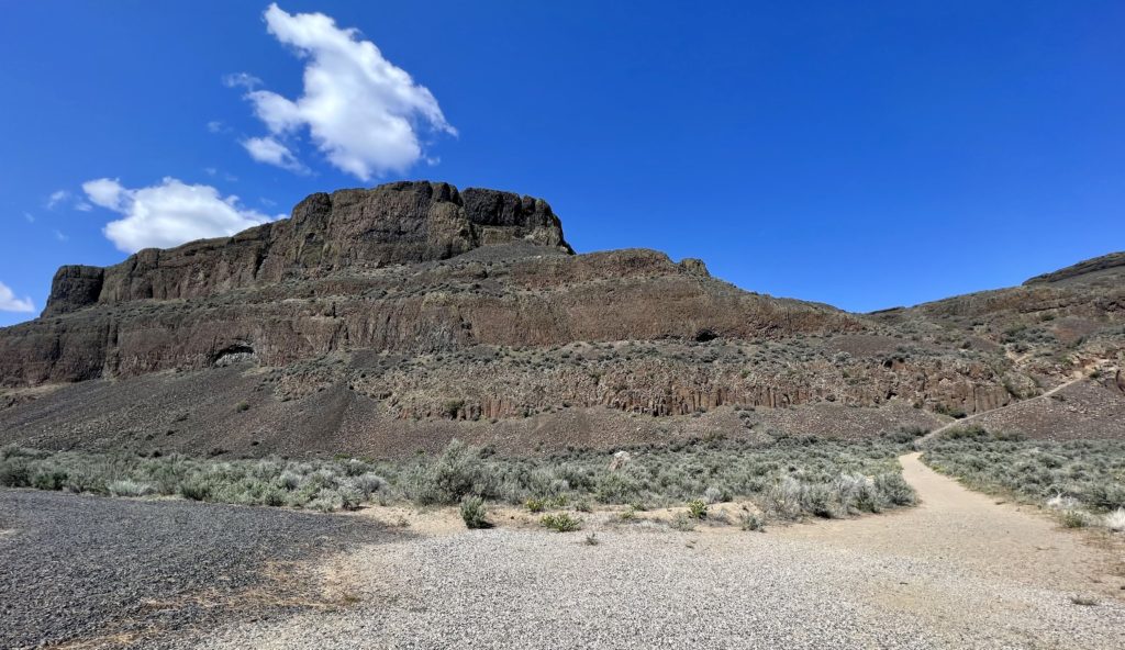
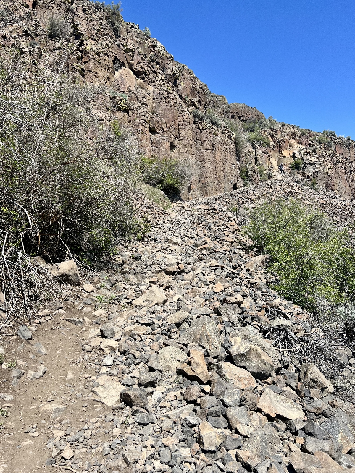
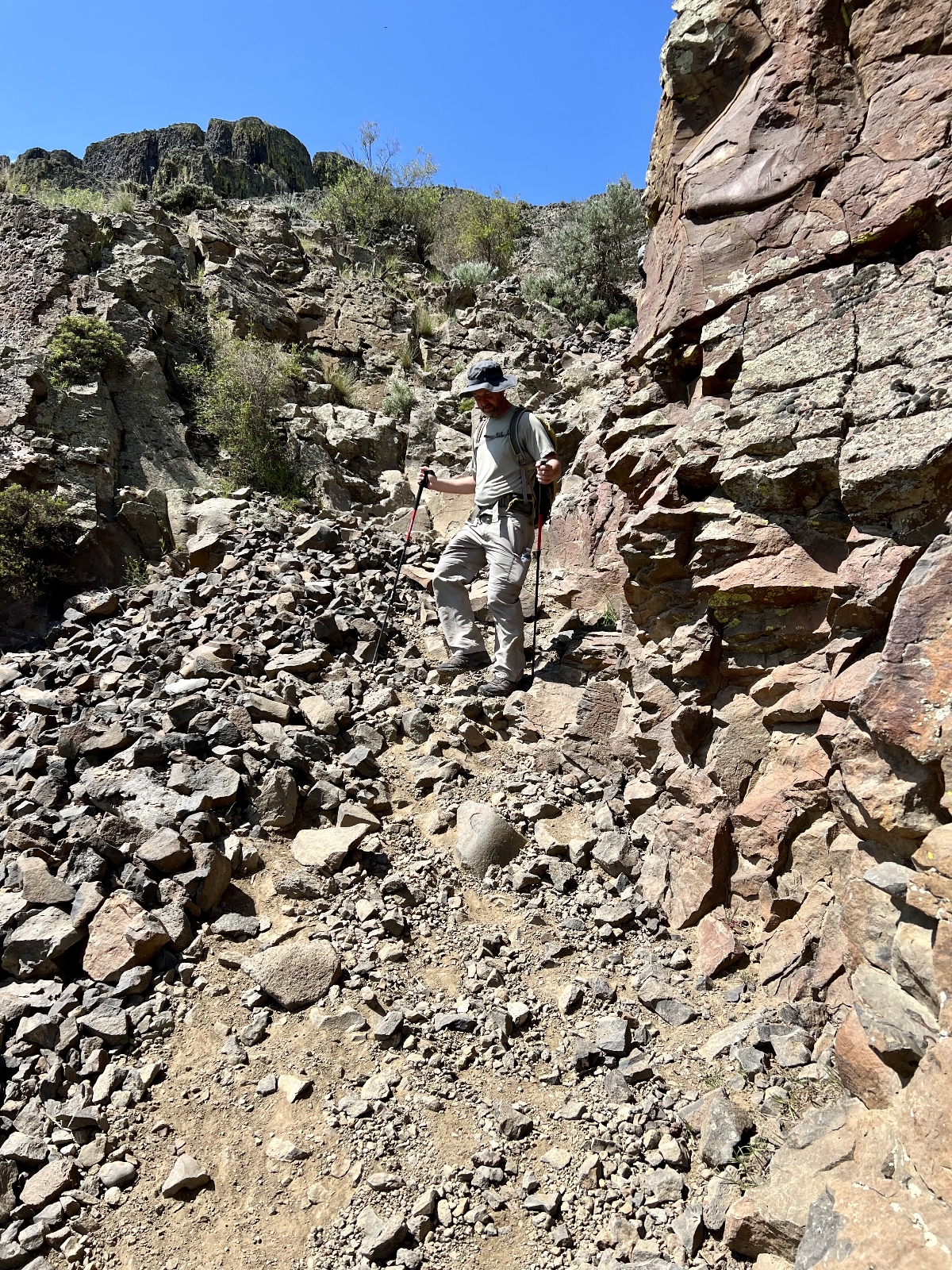
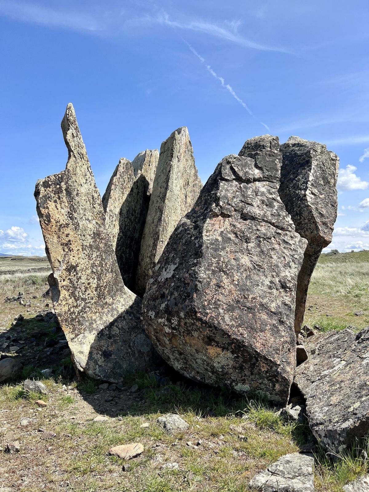
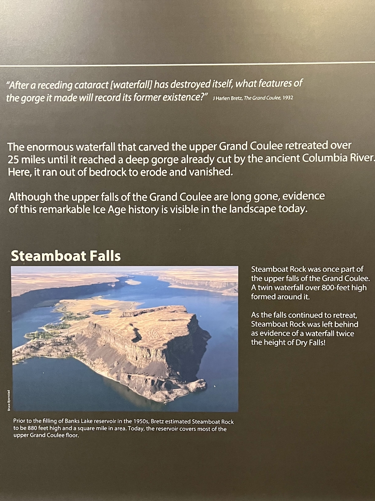
The hike up Steamboat’s namesake butte is a must for anyone able to navigate the steep and rocky trail. Starting at the campground, we looked up at the towering basalt butte and couldn’t imagine a trail climbing to the top. It seemed impossible. But soon a path emerged that took advantage of a low spot. After much huffing and puffing, we found ourselves at the top.
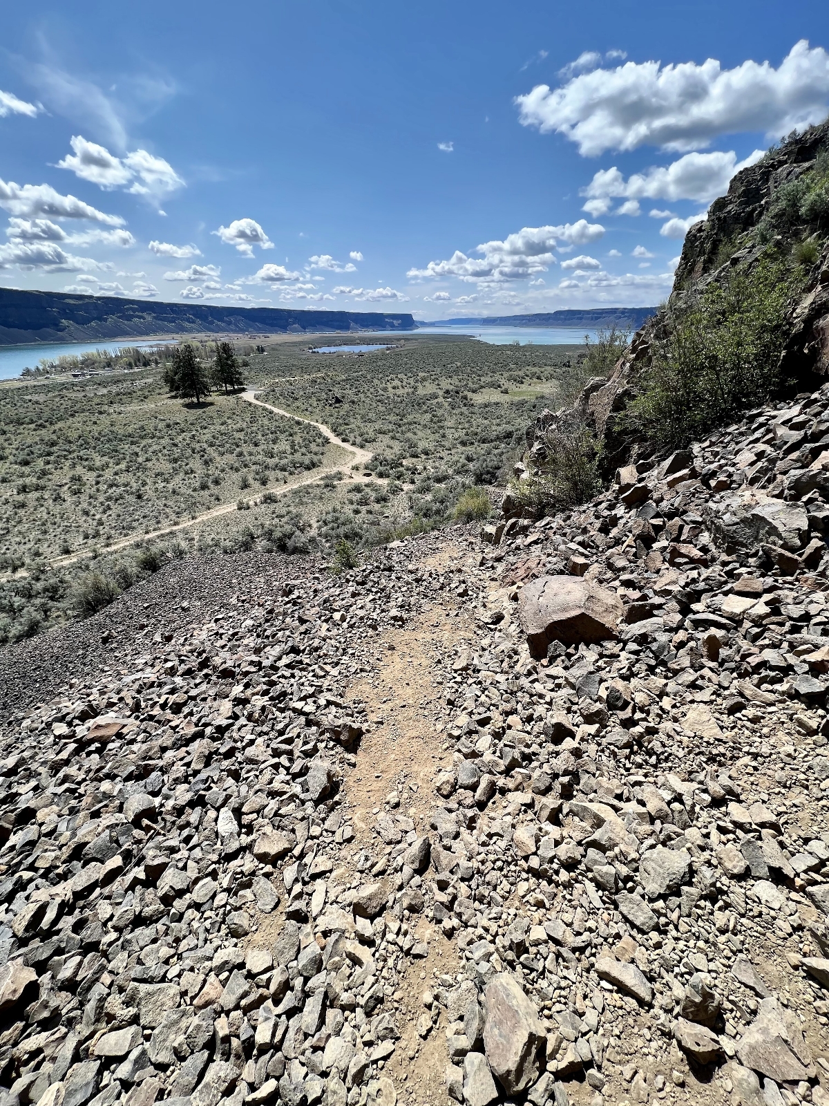
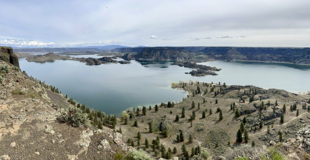
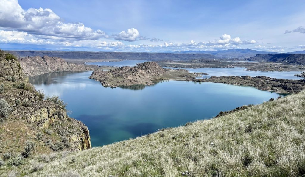
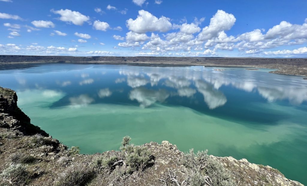
Atop Steamboat Rock, the trail meandered over a relatively easy loop that provided panoramic viewpoints of Grand Coulee and the peaks of the Okanogan-Wenatchee National Forest. To our surprise, we saw a number of deer on top and enjoyed great views down onto the beautiful blue waters of Banks Lake.
The length of this hike varies depending on where you start and how much you wander once on top of the butte. I’ve seen reported distances vary from 4.0 to 6.0 miles roundtrip. Our Alltrails app mapped us at 5.0 miles. Likewise, elevation gain estimates vary from 650 feet to 995 feet. The majority of that gain comes over a very short section of the trail. After that, it is easy hiking. Please wear sturdy shoes and be cautious making your way back down the steep and rocky slope. Also be sure to keep an eye out for rattlesnakes sunning themselves around the rocks.
Northrup Lake Hike
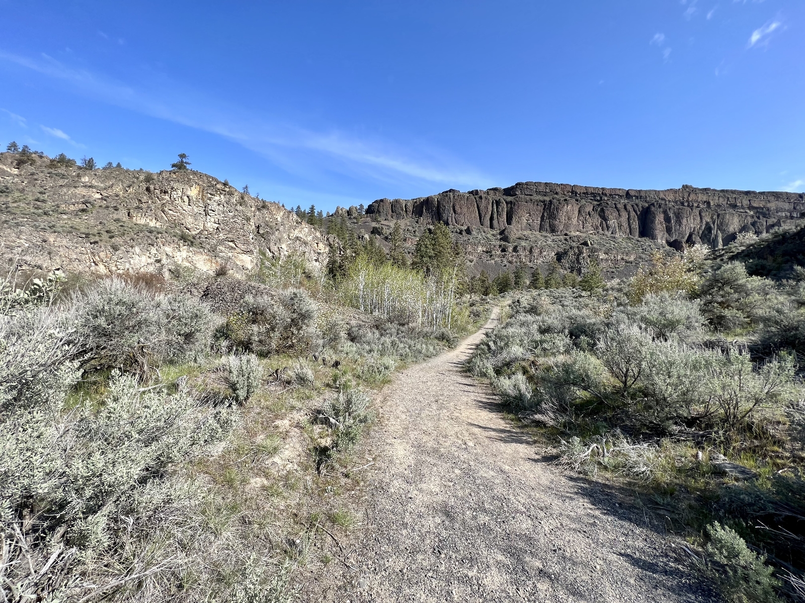
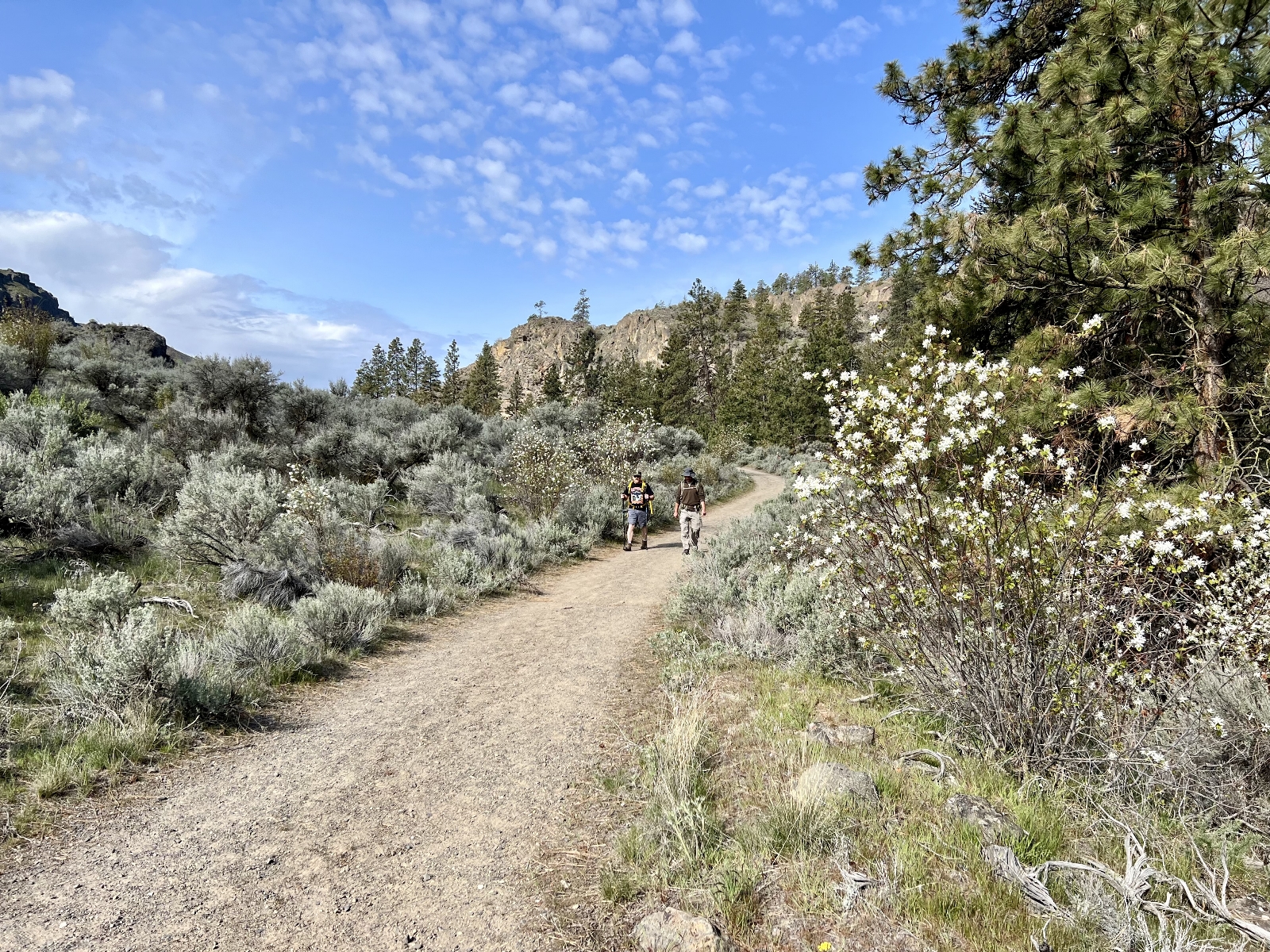
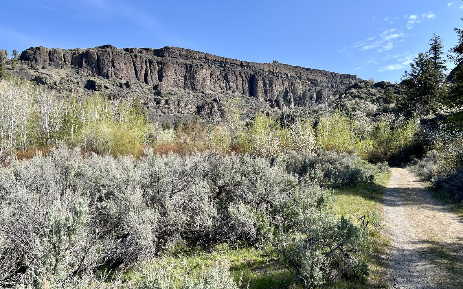
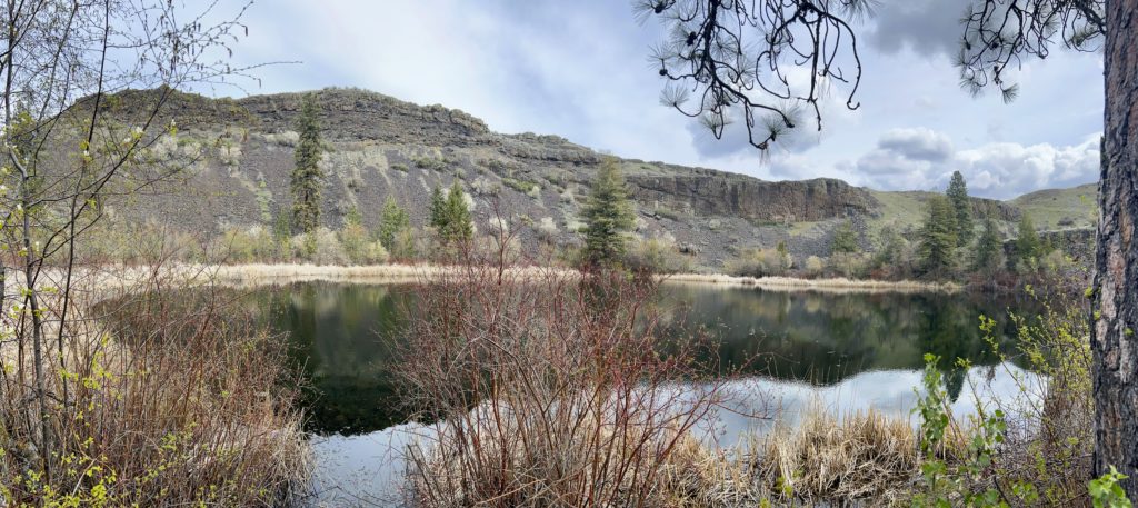
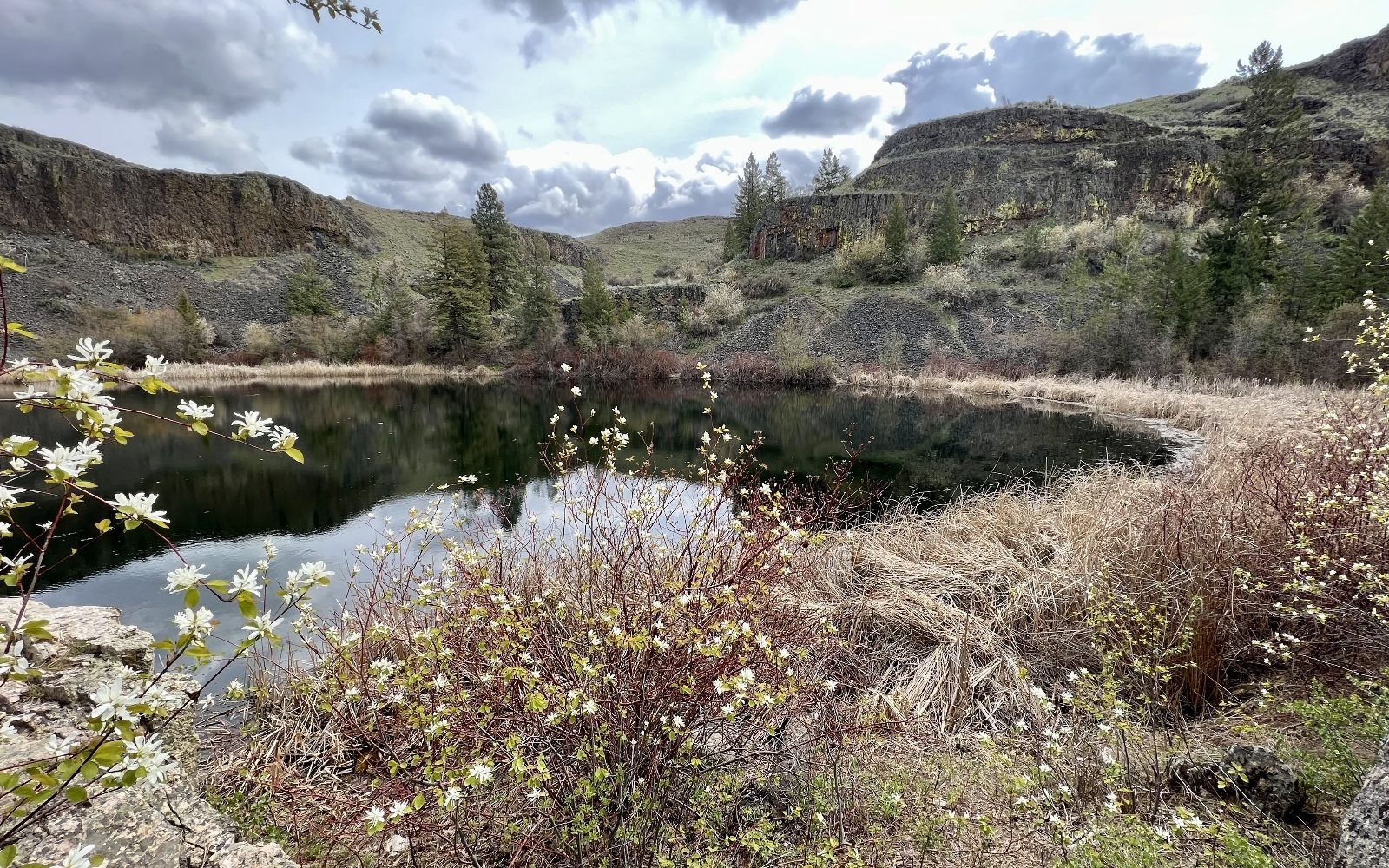
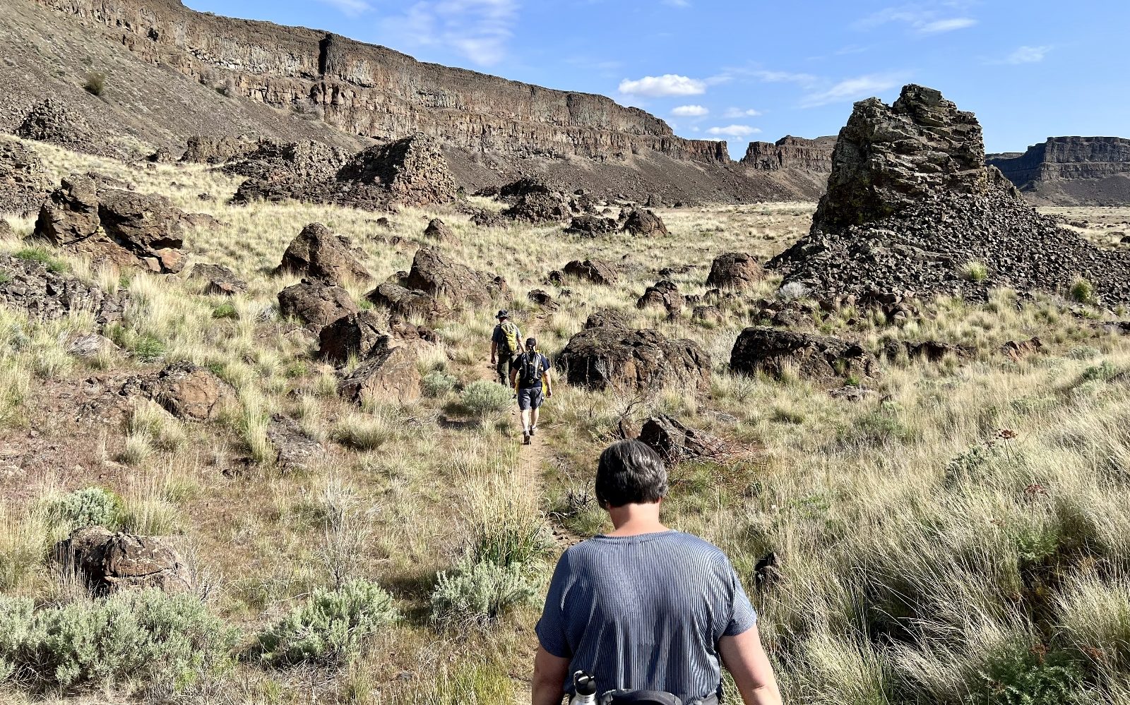
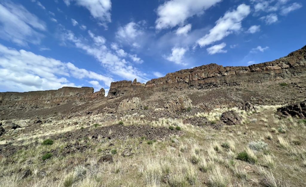
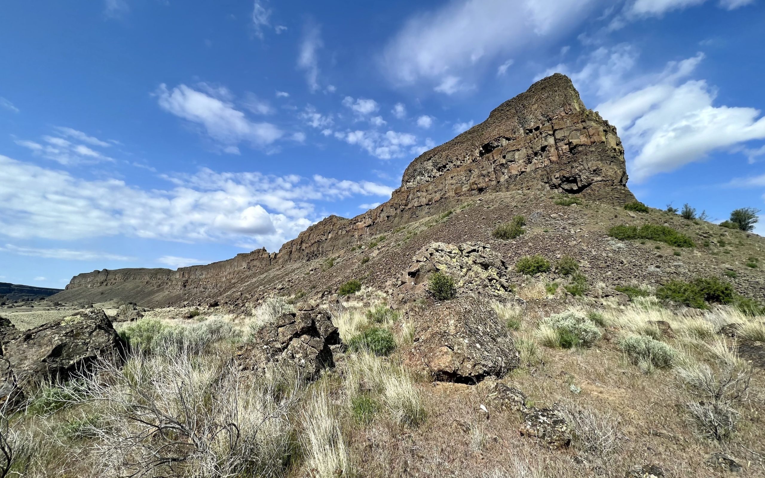
Another great hike at Steamboat Rock State Park is to Northrup Lake. The trailhead is located 6 miles from the campground, across highway 155 and a short distance up Northrup Road. We hiked this trail back in May 2017 and enjoyed it so much that we brought our friends Scott and Torrey for a repeat.
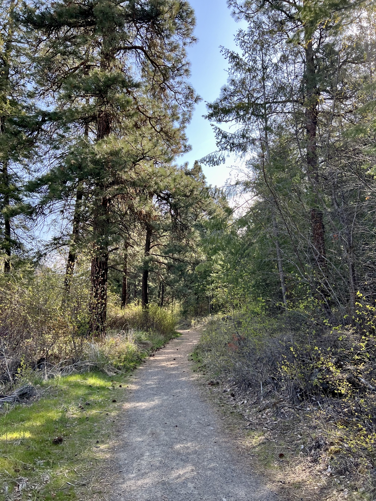
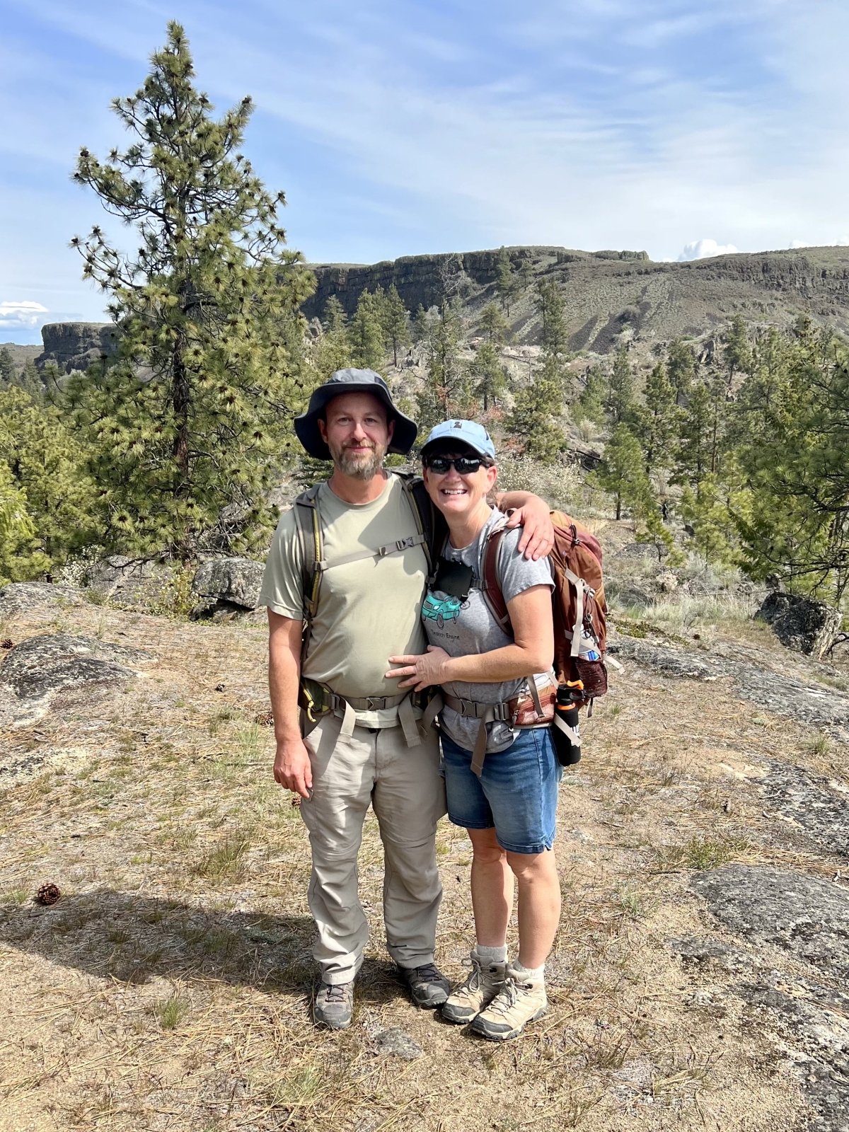
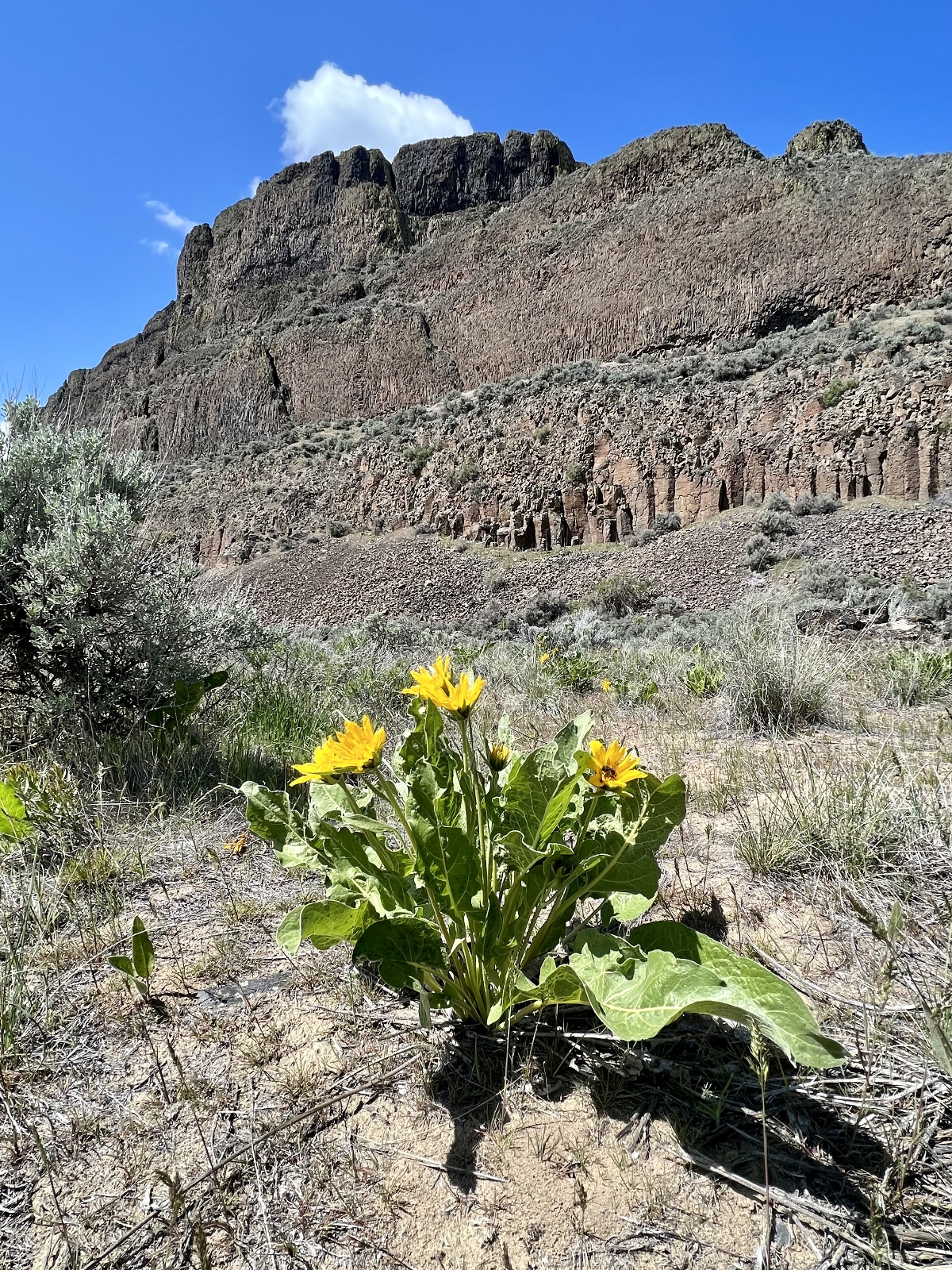
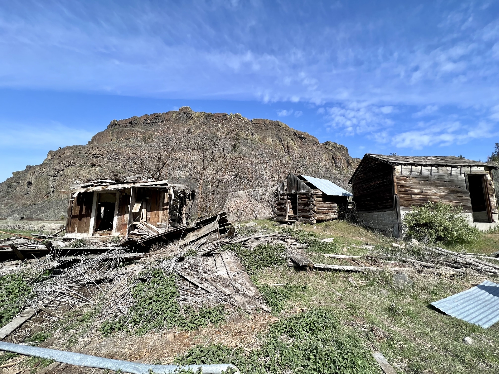
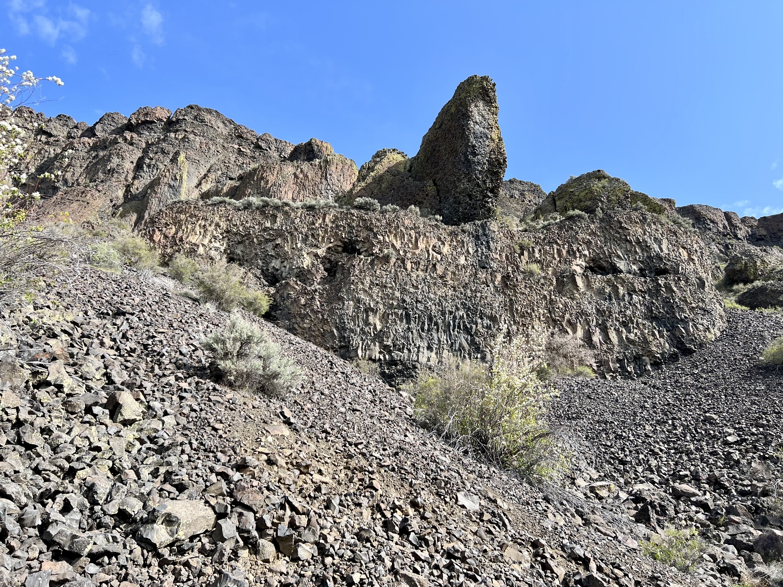
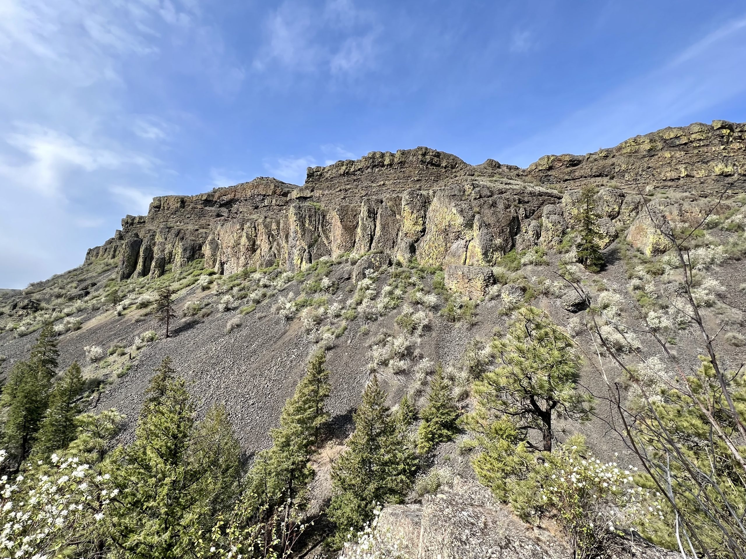
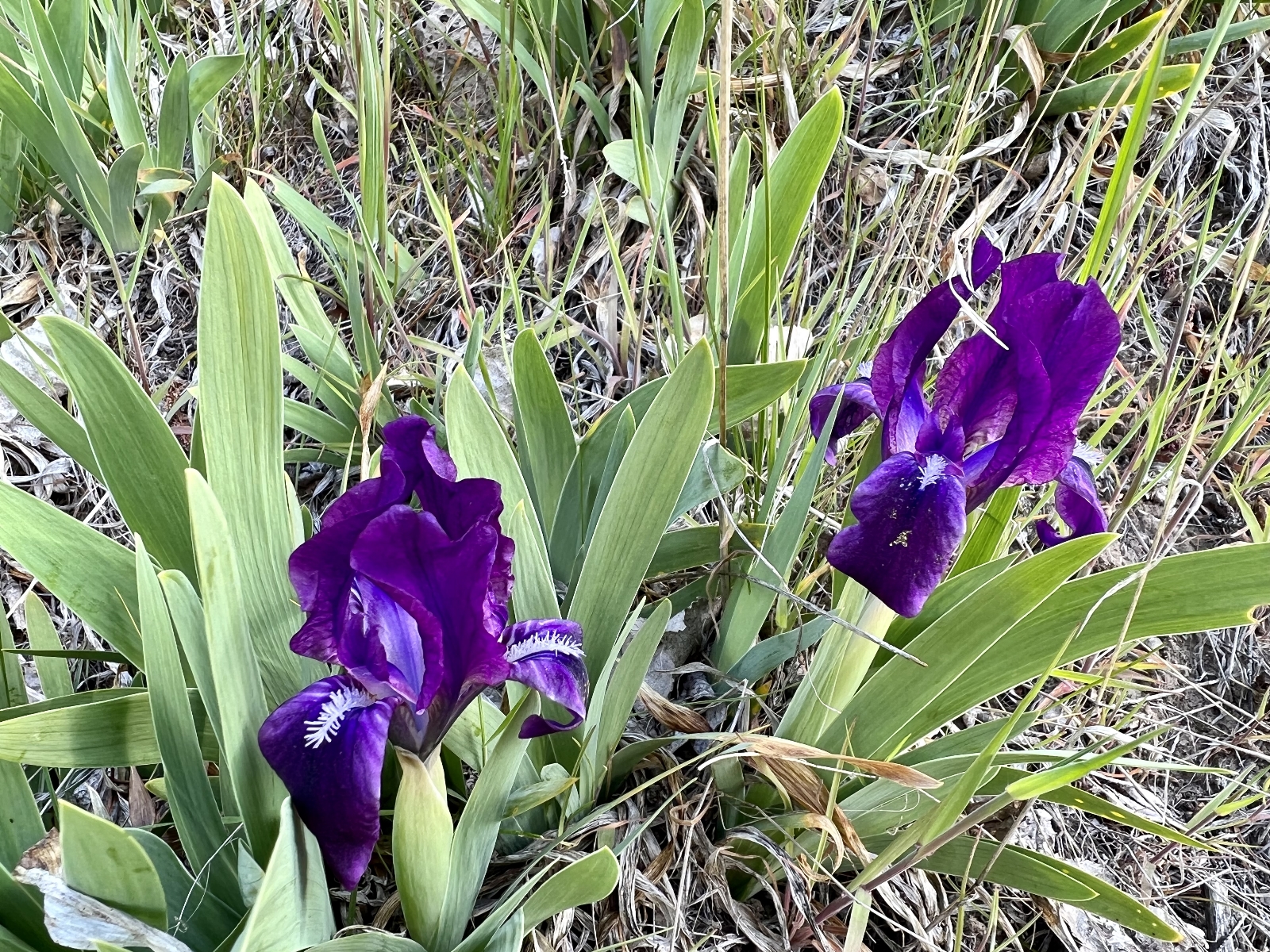
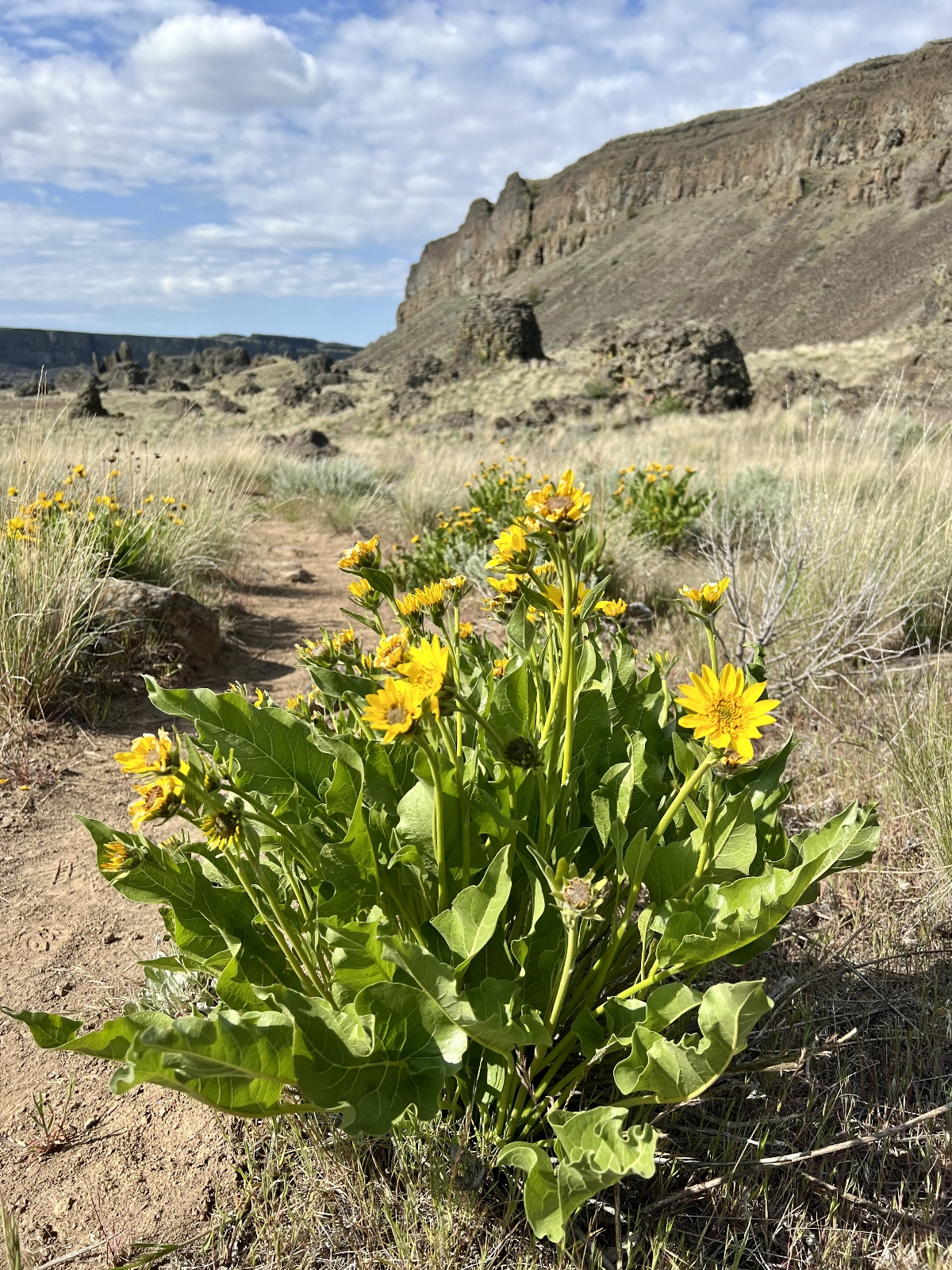
We were a little early for wildflowers this year, but we enjoyed hiking under the towering basalt cliffs of Northrup Canyon and visiting charming Northrup Lake. There is also some great history along the route including the old Northrup Homestead where Caty Northrup was murdered in 1903 over a land dispute as well as an old tin can dump from the Grand Coulee Dam construction era. If you are interested, I have a detailed description of the hike and more photos here.
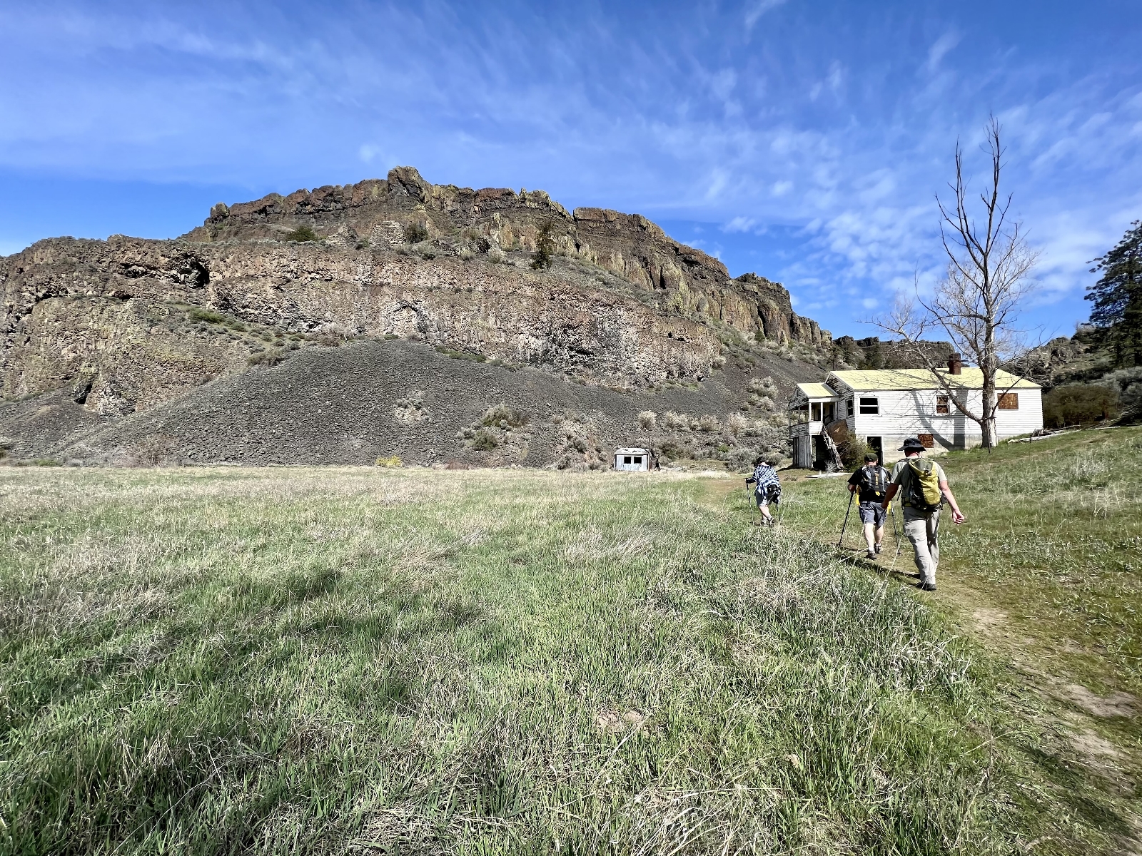

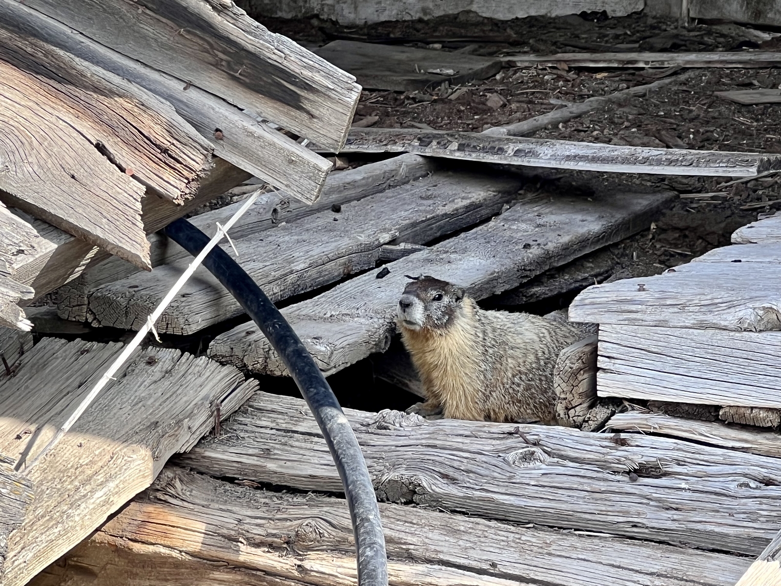
For me, the highlight of the hike was seeing a pair of marmots that had their babies hidden away under one of the Northrup Homestead’s outbuildings and a massive osprey that dove into Northrup Lake and emerged with a big trout for dinner.
This was a 6.1 mile out and back hike with roughly 800 feet elevation gain. The majority of the elevation gain came between the homestead and lake. Those wanting an easier hike could go just to the homestead which would be 3.4 miles roundtrip with only 180′ gain. Those wanting a longer hike could add the Wagon Road Trail for a 8.5 mile hike with 1,000′ elevation gain. We did that back in 2017 for a really enjoyable day.
Umatilla Rock Hike (Sun Lakes-Dry Falls State Park)
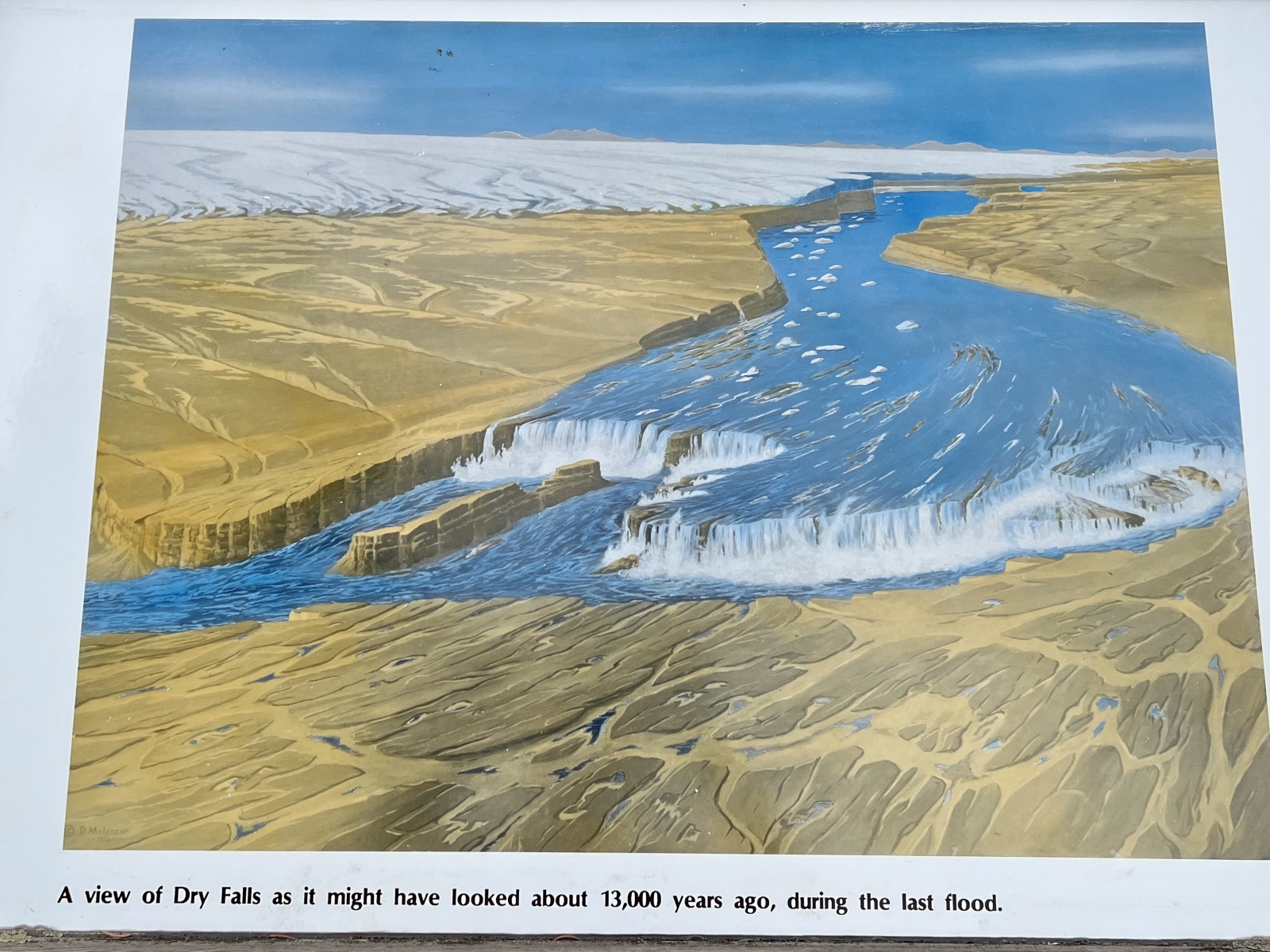
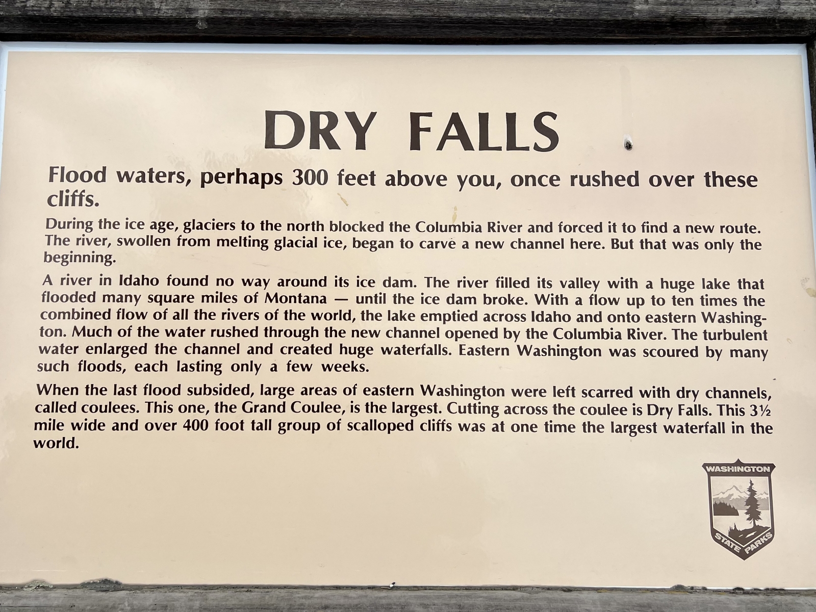
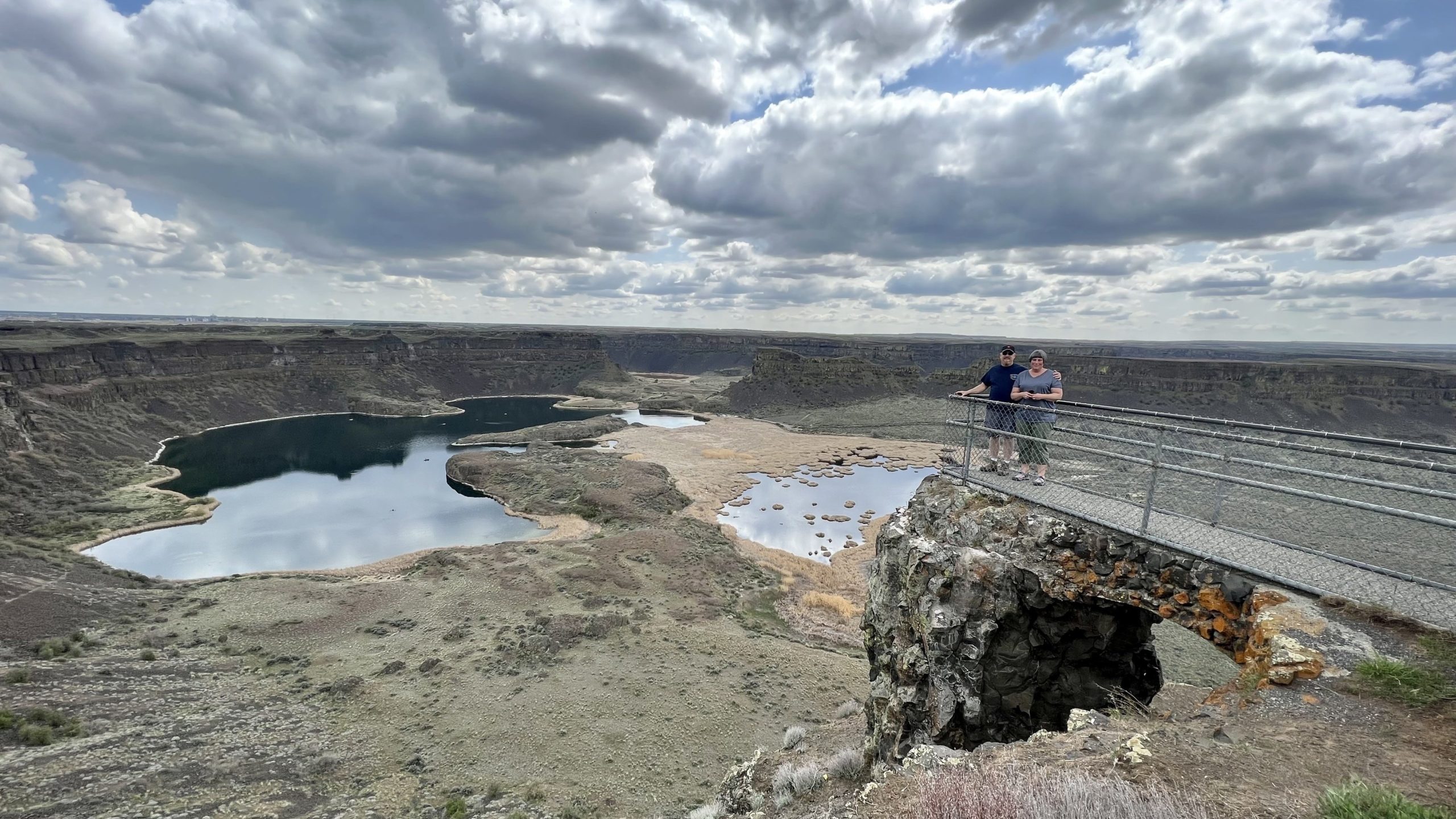
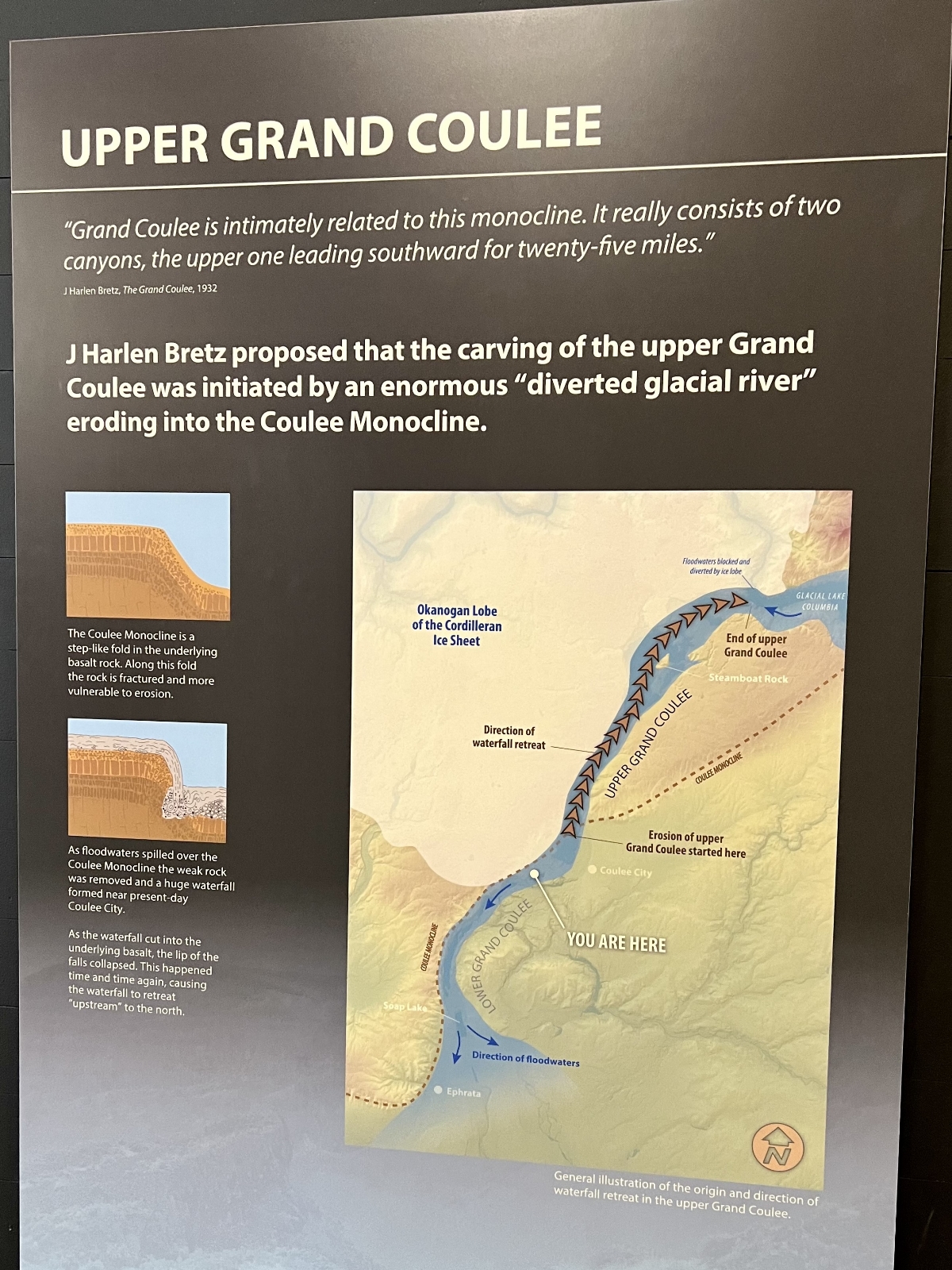
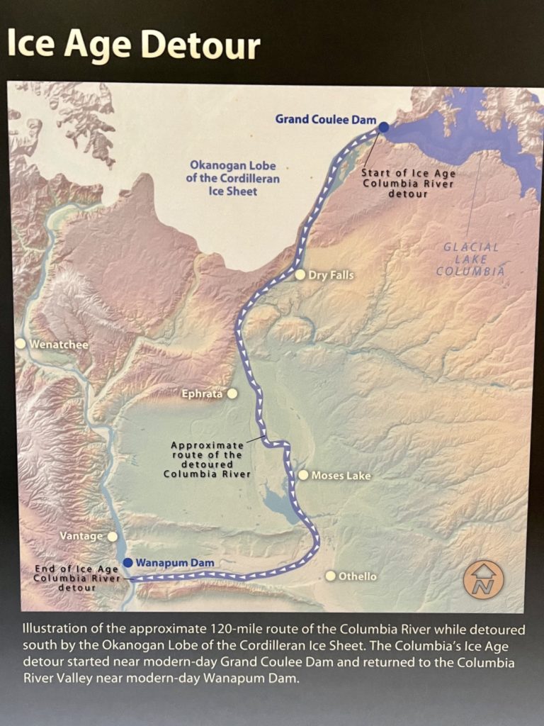
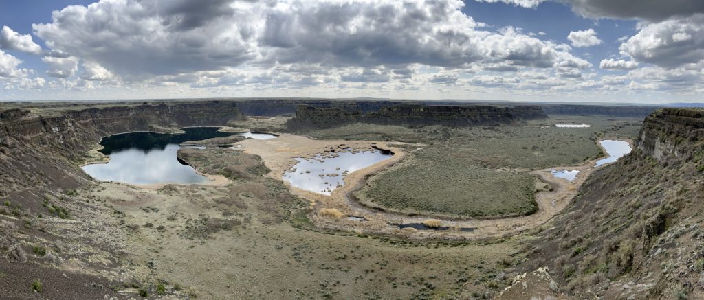
Roughly half an hour south of our campsite at Steamboat Rock State Park is another lovely Washington State Park, Sun Lakes-Dry Falls. The 3,774-acre park boasts 73,640 feet of shoreline at the foot of Dry Falls, a geological wonder of North America. Carved by Ice Age floods 13,000 years ago, Dry Falls was once the world’s largest waterfall (four times the size of Niagara Falls). Today the 400-foot-high basalt cliffs are dry, but the coulee below is dotted with numerous small lakes that are popular with anglers.
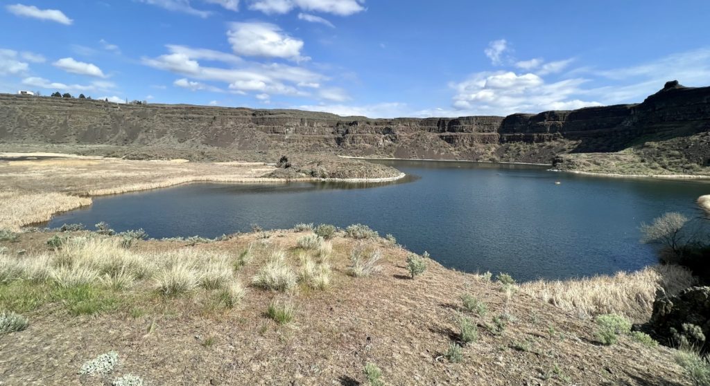
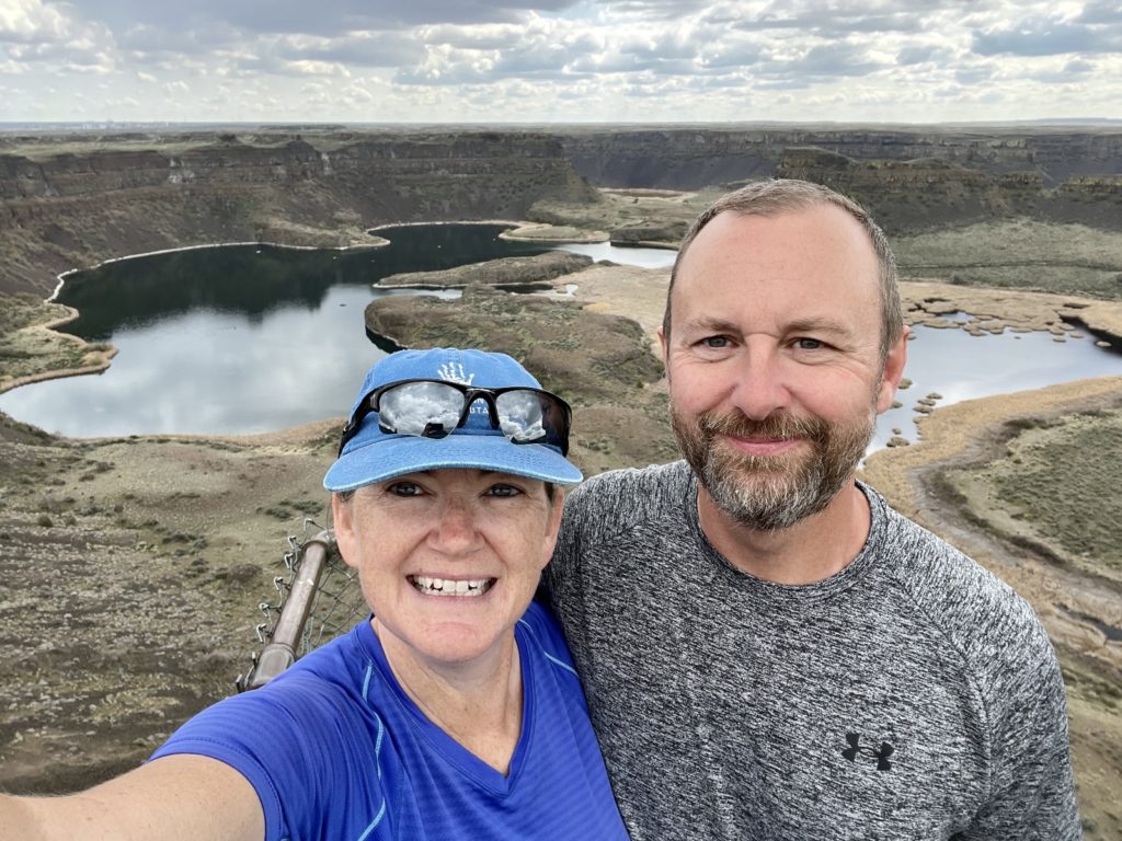
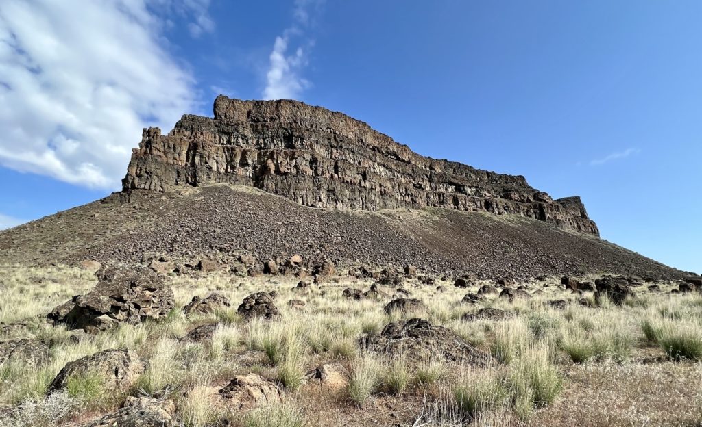
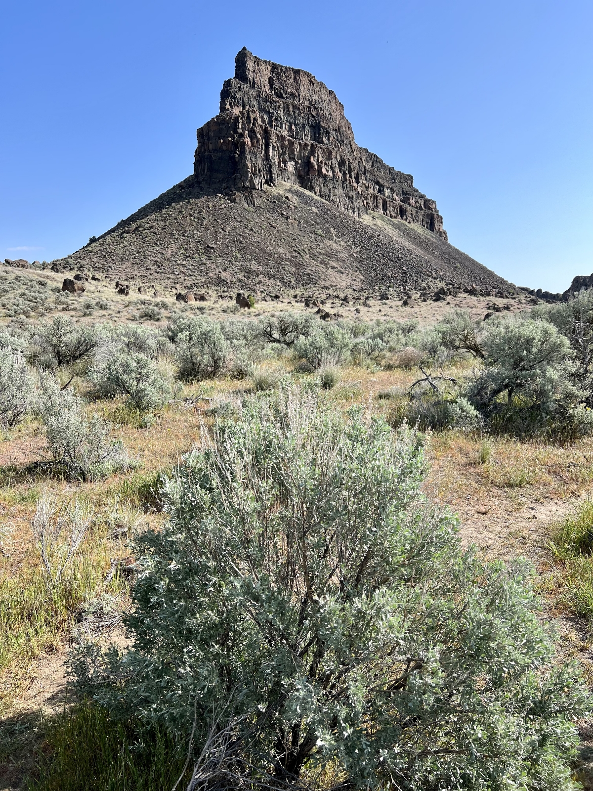
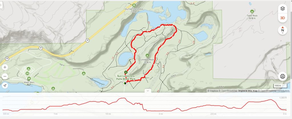
At the center of Sun Lakes-Dry Falls State Park is Umatilla Rock, a massive basalt butte similar to Steamboat Rock. A relatively flat trail circles the butte and passes Dry Falls Lake at the base of Dry Falls. This makes for a short, but fantastic hike. We hiked around Umatilla Rock back in 2017 (click here for detailed trail description and photos) and enjoyed a repeat hike this year with friends Scott and Torrey.
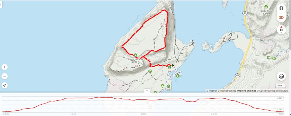
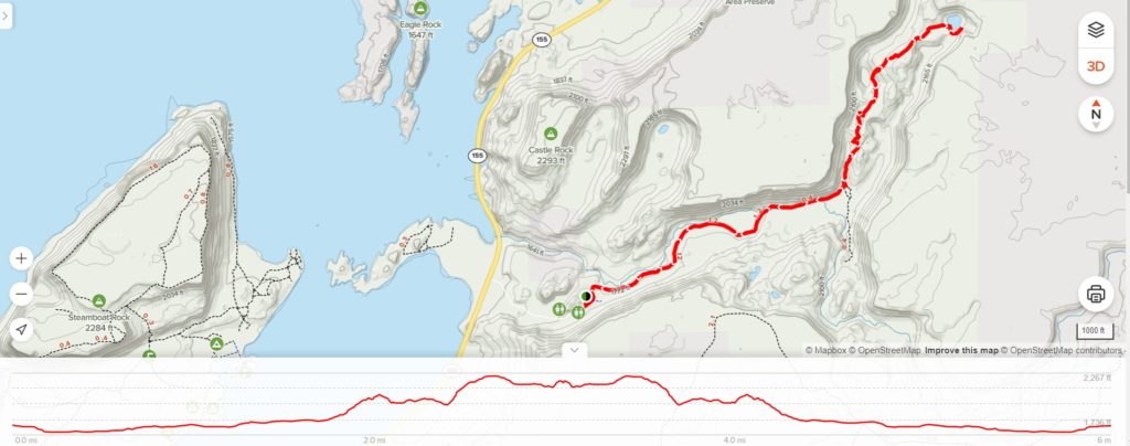
The Alltrails recommended route (shown below) is 2.7 miles with 177 feet elevation gain. We modified the route by adding on the loop trail around Perch Lake making a 3.0 mile loop.
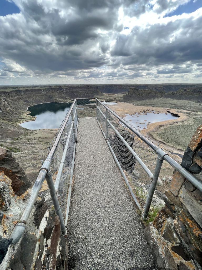
After our hike, we stopped at the Dry Falls Interpretive Center located along highway 17. The historic Vista House Overlook offers panoramic views across to Dry Falls and down to the area we had just hiked. Inside the Visitor Center, we toured the exhibits which highlighted the Ice Age and early human history of the region. This is a great stop if you are interested in the forces that shaped the Grand Coulee area.
The Adventure Continues
Be sure to join us on our next adventure as we begin our Fall 2022 travels to the Eastern Sierra Nevada Mountains of California! And don’t forget to check out our Amazon RV and Adventure Gear recommendations. We only post products that we use and that meet the Evans Outdoor Adventures seal of approval. By accessing Amazon through our links and making any purchase (even things as simple as toothpaste!), you get Amazon’s every day low pricing and they share a little with us. This helps us maintain this website and is much appreciated!
I enjoyed the pictures and commentary so much!